FSX Upper Minnesota Scenery
 Upper Minnesota (MN) v2. Most towns, and cities. thousands of lakes. rivers, and other sights. This is the largest update for northern Minnesota ever. The Mississippi River is now complete. By John E. Karasti.
- Download hits
- 580
- Compatibility
- Microsoft Flight Simulator X (FSX) including Steam Edition & Prepar3D (P3D)
- Filename
- upperminnesota.zip
- File size
- 6.66 MB
- Virus Scan
- Scanned 17 days ago (clean)
- Access to file
- Free (Freeware)
- Content Rating
- Everyone
Rated 4 out of 5 stars by 1 PRO members.
Upper Minnesota (MN) v2. Most towns, and cities. thousands of lakes. rivers, and other sights. This is the largest update for northern Minnesota ever. The Mississippi River is now complete. By John E. Karasti.
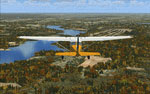
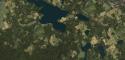
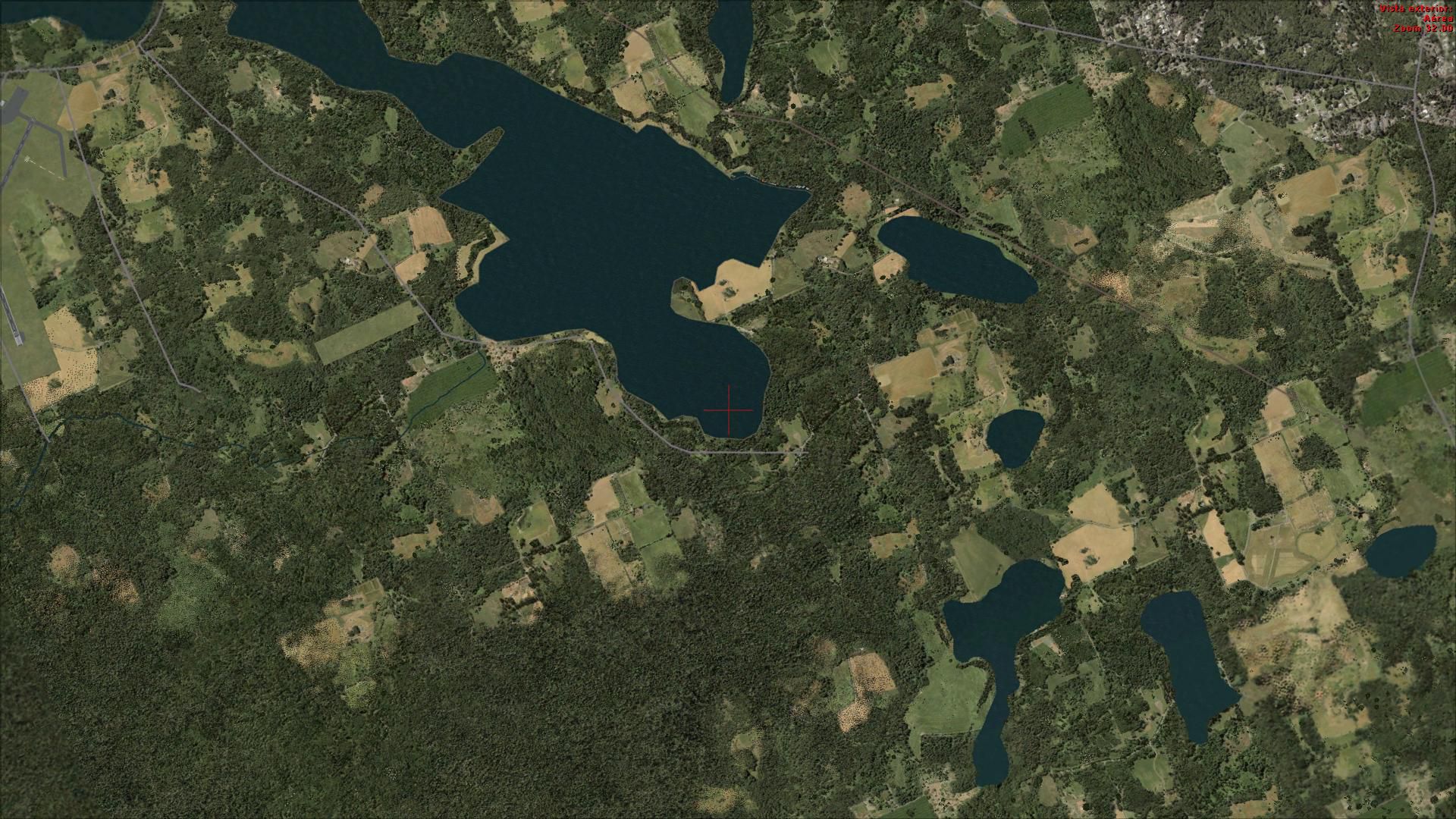
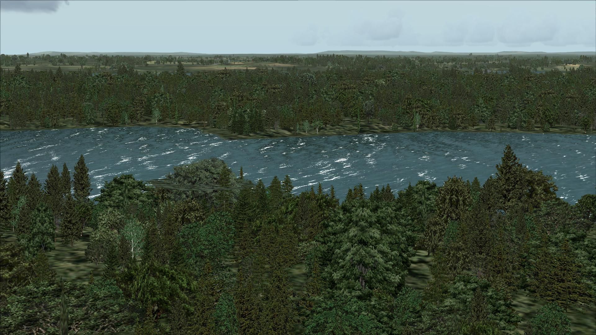
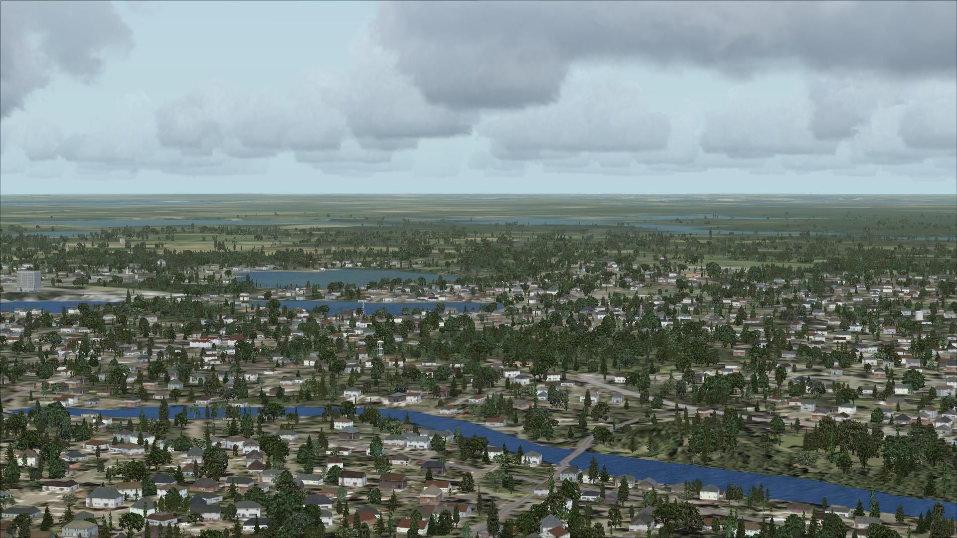
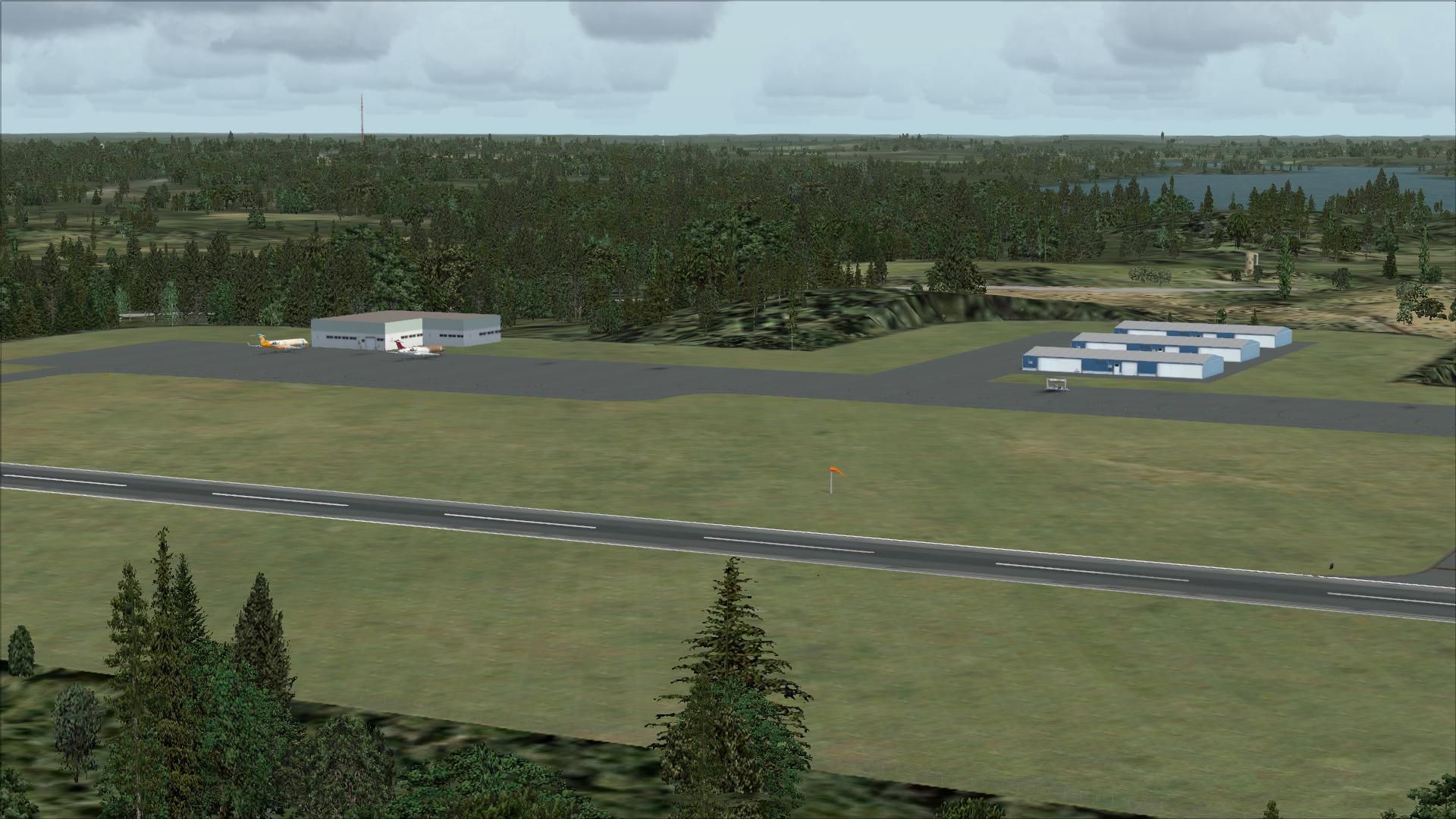
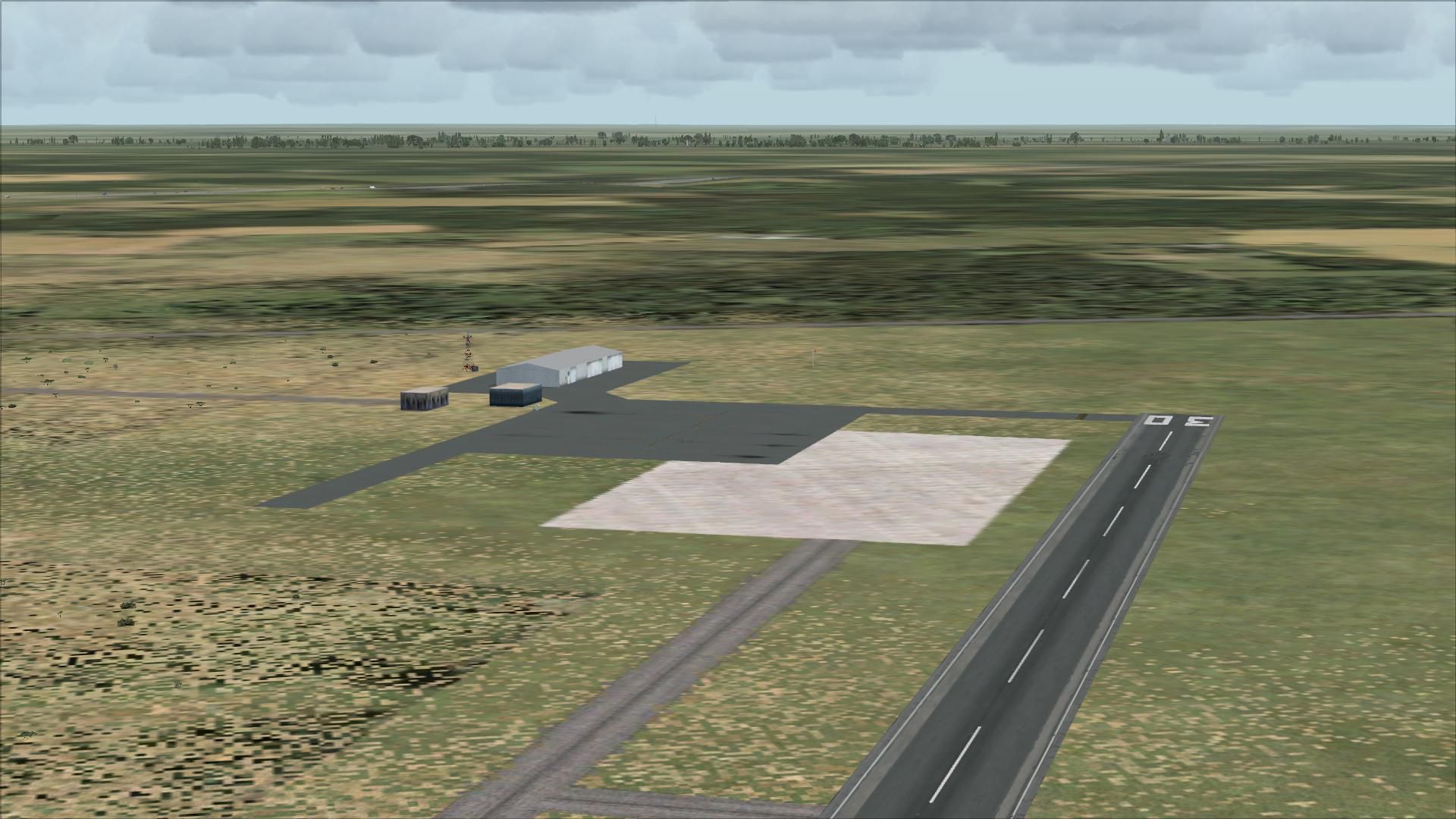
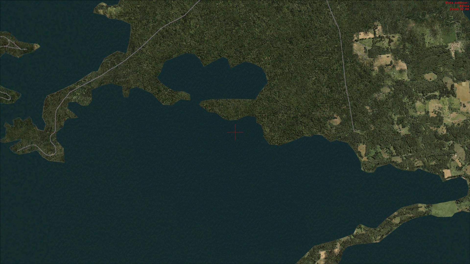
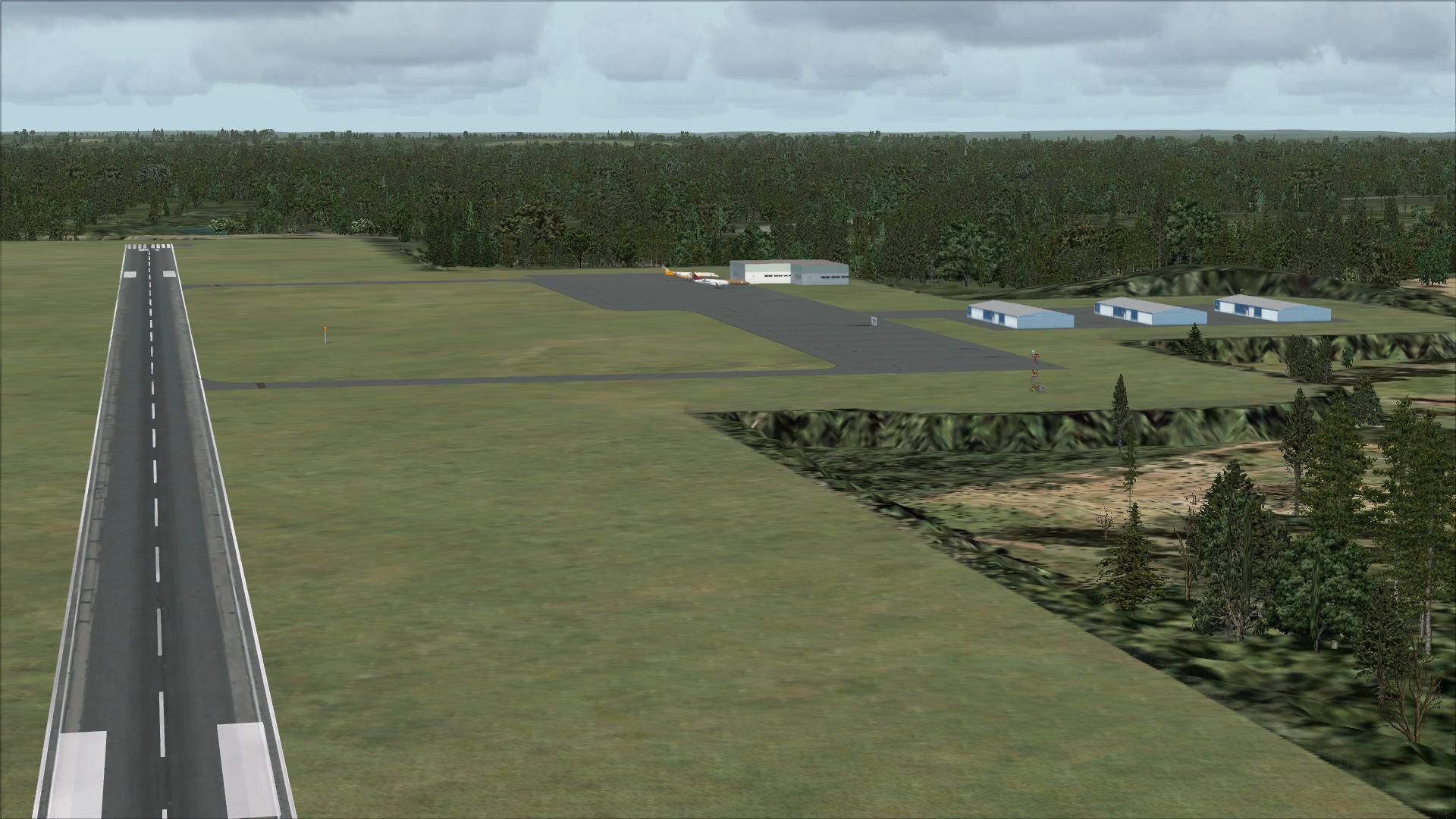
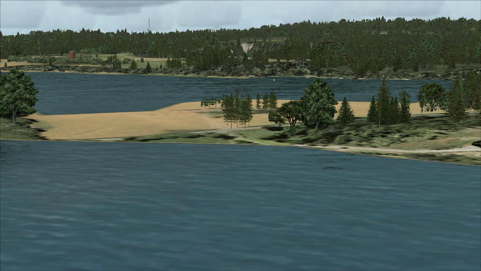
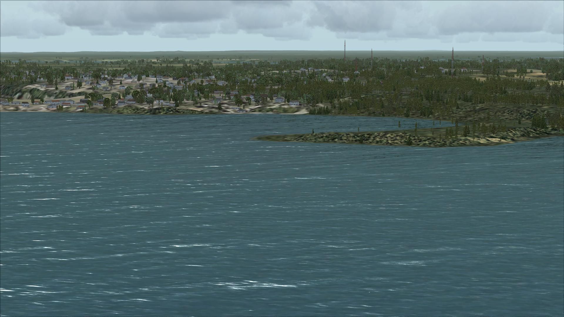
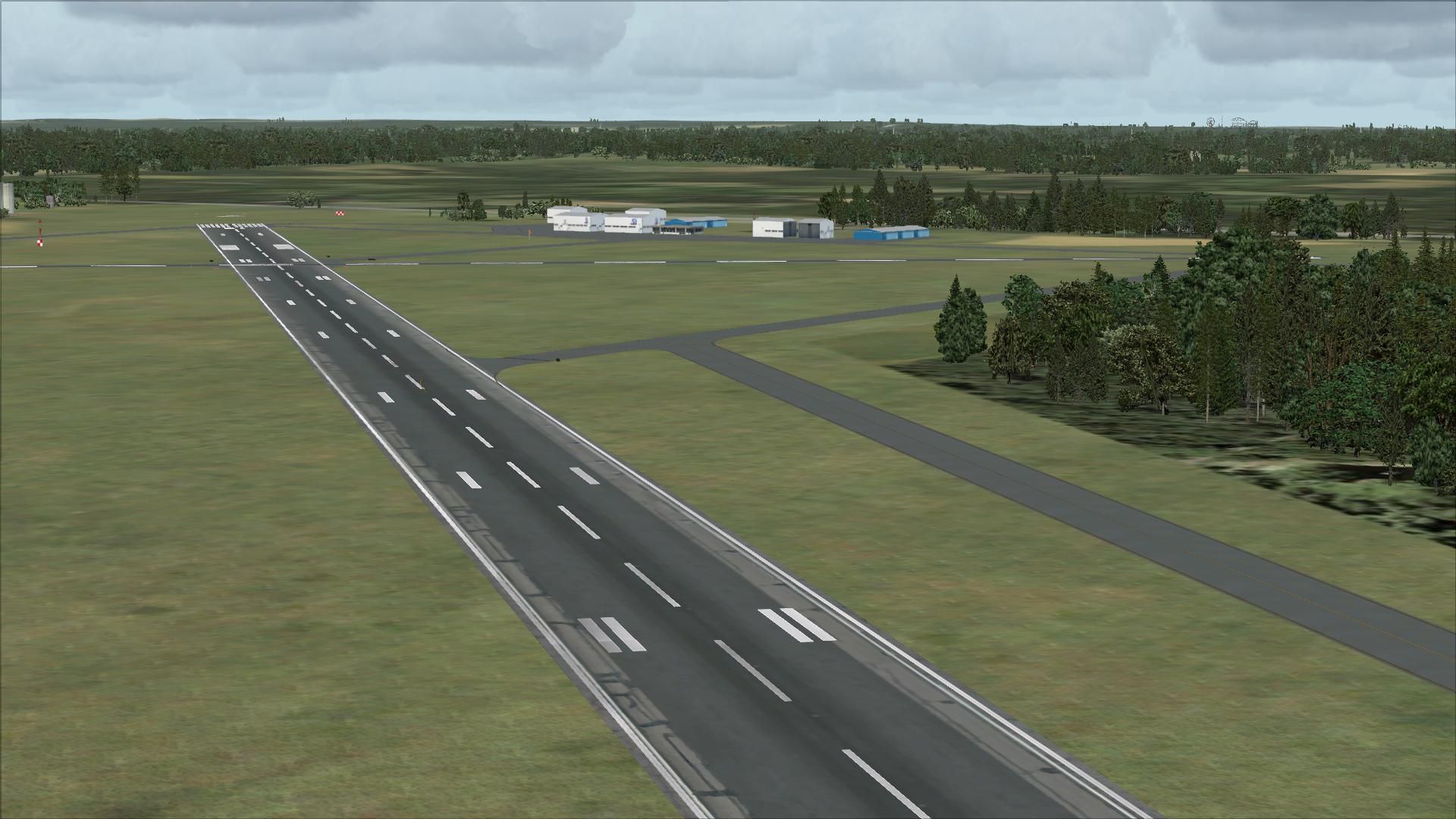
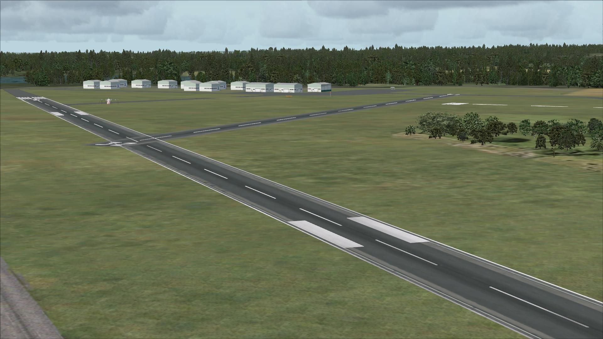
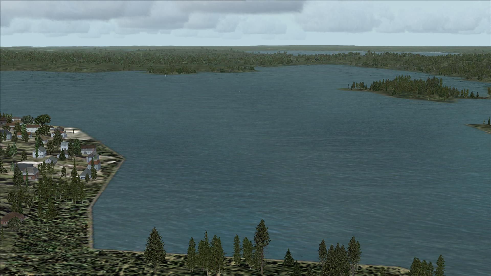
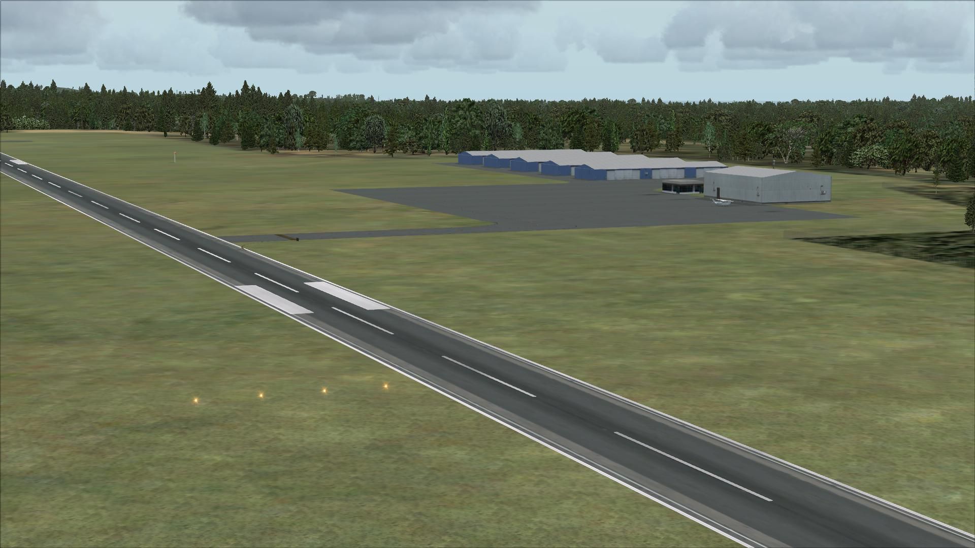
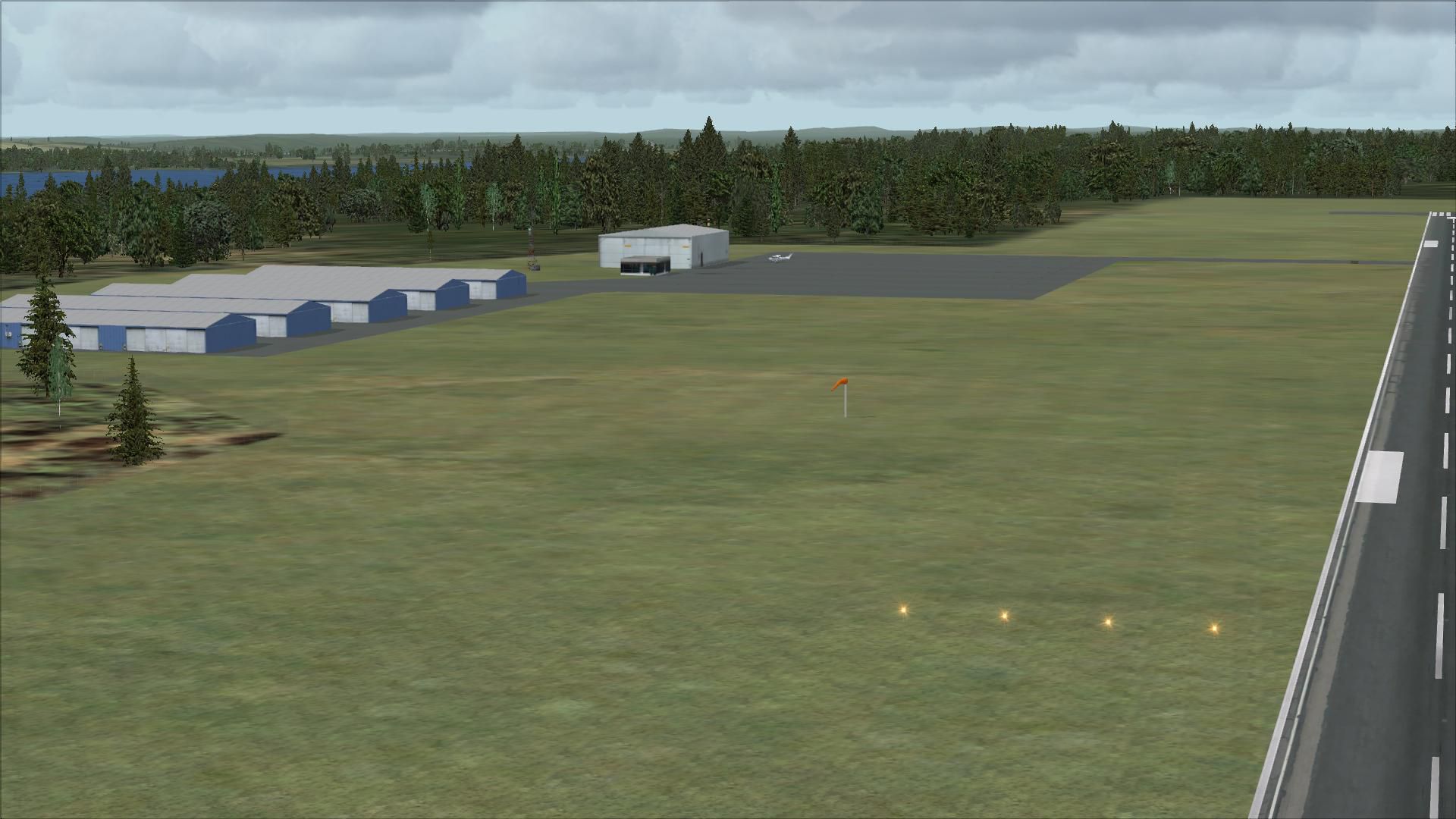
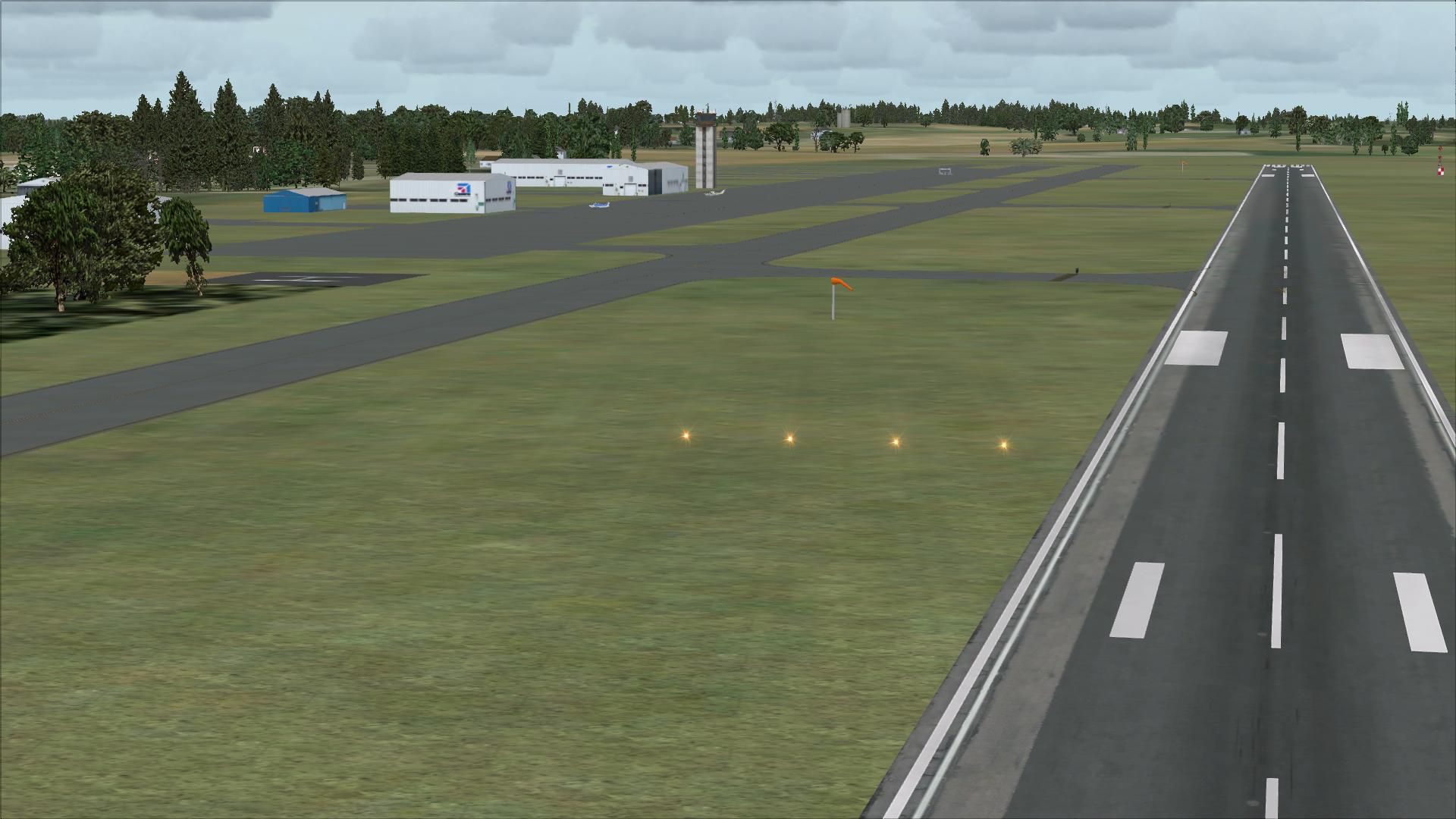
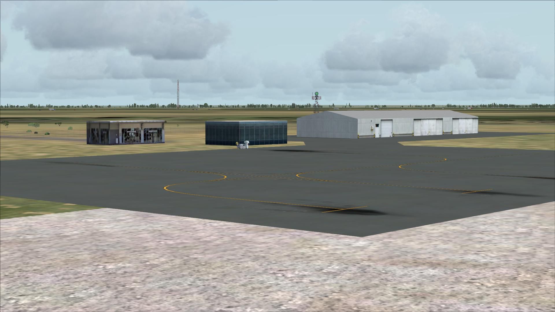
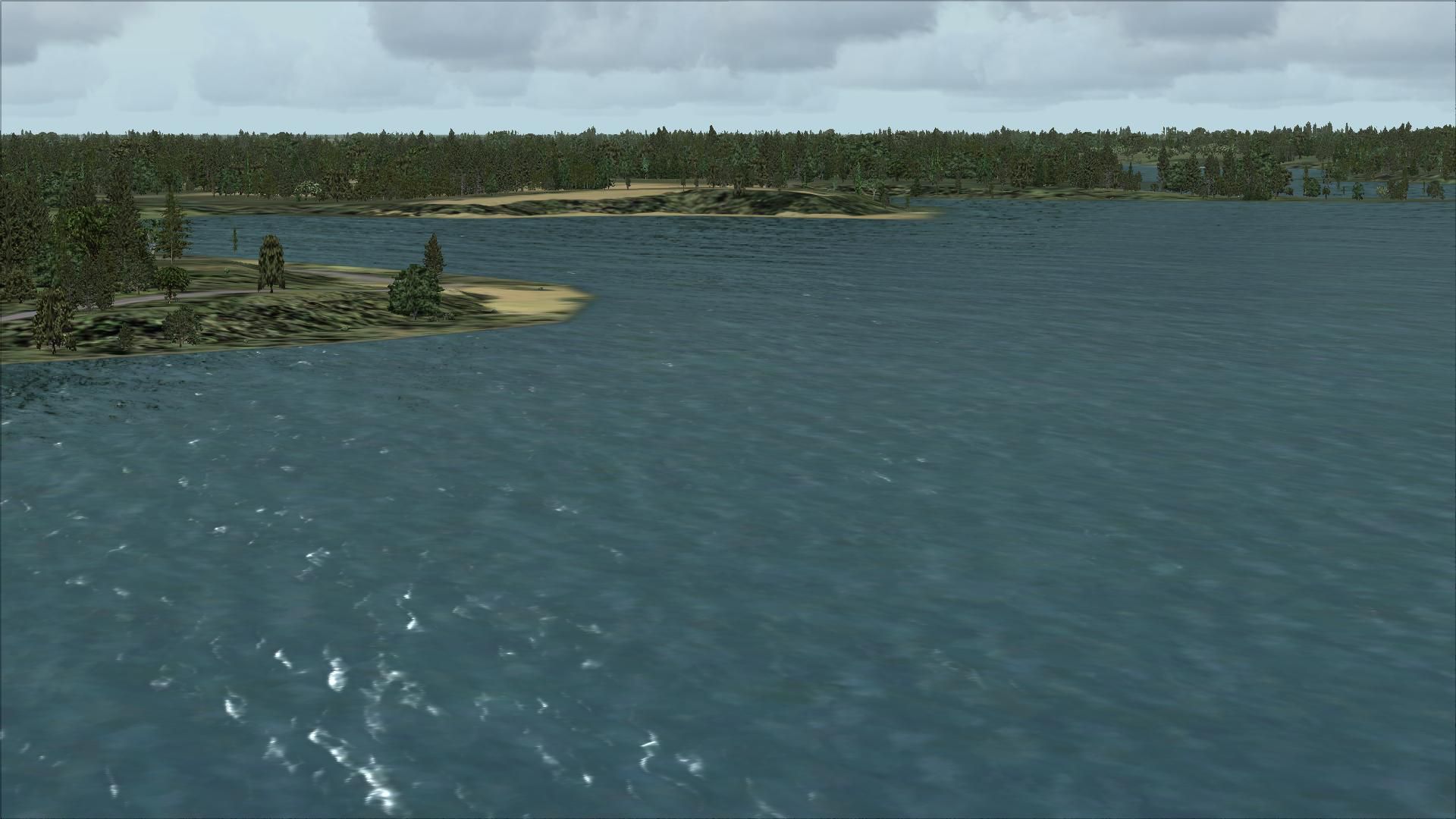
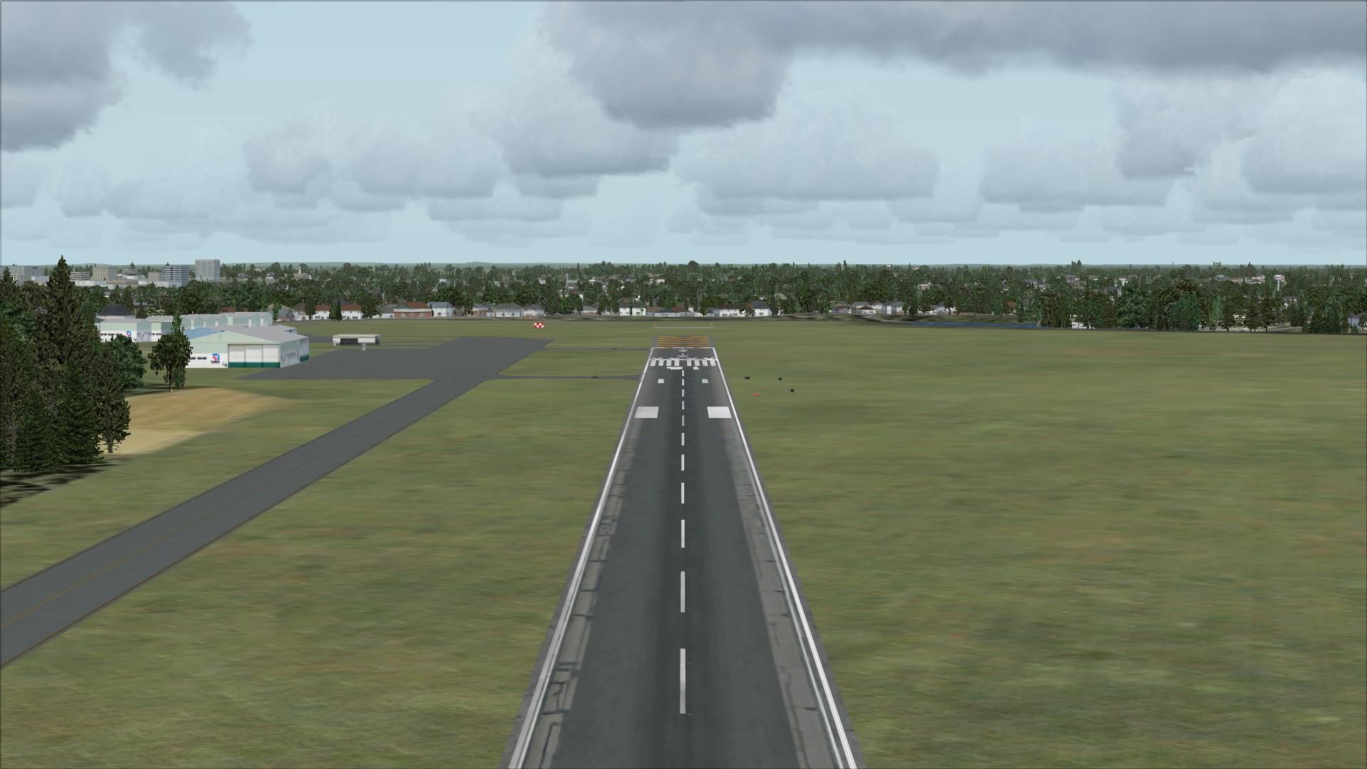
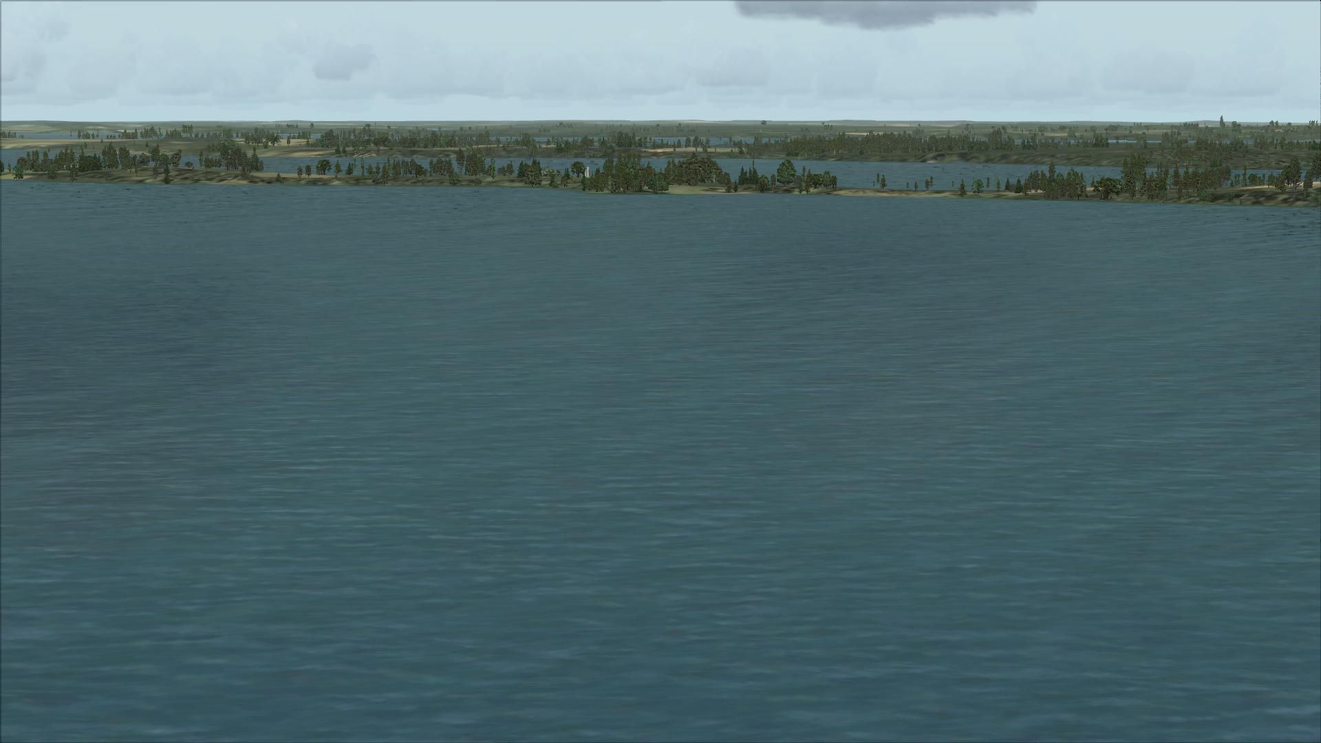
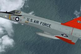
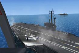
Screenshot of Upper Minnesota Scenery.
Welcome to upper Minnesota, for the lack of a better name. For Flightsim X only.
All scenery is done with default textures, so it's very frame rate friendly.
Counties covered in this scenery.
Aitkin, Becker, Beltrami, Benton, Carlton, Cass, Clay, Clearwater, Cook, Crow Wing, Hubbard, Itasca, Kittson, Kooch..., Lake, Lake of the Woods, Mahnomen, Marshall,Morrison, Norman, Pennnington, Polk, Red Lake, Roseau, Sherburne, Stearns, St.Louis, and Wright.
The Arrowhead of Minnesota is the prime focus of this scenery. All counties have at least towns added. If a town has a fingerprint that can be seen in the tigerline data, then the town was added, and there are a lot of them.
What is covered with more detail. Follow hwy 10 from Moorhead to Detroit Lakes. Now hwy 34 Through Park Rapids to Walker. Then take hwy 200 to Remer. Now follow hwy 6 up to Grand Rapids.From this point East, Minnesota gets a large update. Hwy 169 is the most active, as far as updates. don't forget to take the Lake Superior North shore ride. The Mississippi river is now finished. you can fly from the Gulf of Mexico, to Lake Itasca. Look at the file names, there is work done in other parts of the country.
A massive effort was made to add MOST of the lakes and several rivers in Cook, Lake, and St. Louis counties. This makes this area a float plane dream.
OK, The Lift bridge in Duluth was done for FS98, and doesn't display right, but it's still the best one I've found. There may be some errors. if you look real hard you may find some (very few) bad lakes. Most of the lakes were done for flightsim 9. With a lot of work I was able to place much of my old work into FSX. Later I found the errors. I've figured out how to fix the bad data in my old work, and have fixed everything that I've found. There may be others ???? To do it all over....forget it Lake county alone has over 1800 polygons that would need to be redone..If you find a lake with errors, and the lake has the default shore line, I didn't do it.There are some such bugs along parts of the border with Canada.
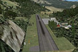
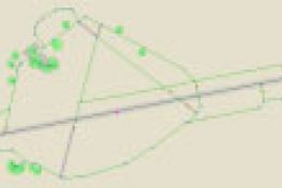
Some airport Id's where scenery has been added.
NAS Whidbey Island, Wa. KNUW
Moorhead Mn. KJKJ
Grand Rapids Mn. KJPZ
Hibbing Mn. KHIB
Eveleth Mn. KEVM
Ely, Mn. KELO
Grand Marais, Mn. KCKC
a few Sea plane bases in the area
MN41 Shagawa Lake in Ely.
MY38 Lake Vermillion near tower.
9Y5 Sky Harbor, Ely lake near Eveleth.
08MN Christenson point, Side lake area.
MN54 Gunflint near the end of the Gunflint trail.
0G5 Gunflint lake just north of Grand Marais.
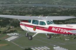
Take off from Grand Rapids (KGPZ), and follow US 169 to “Virginia, or Ely (KELO). It’s about a 45 minute flight, in the Cessna 172. If you detour to Biwabik, you may find Giants Ridge.
Things added. Spirit Mountain in Duluth. Giants Ridge, Lutsen Ski hill. Wind farm at Minntac. Lots, and Lots of lakes,Cities, and towns, and many roads.
Note…2 files Minntac_pitsxxxxx are in BETA, and are included just for you to see what’s going on. They may be removed.
2 very good low,and slow flights are the Echo trail North out of Ely (KELO), and of course the Gunflint trail, North out of Grand Marais (KCKC) Jump in the Piper Cub, and go for a ride.
There is a report of lightning strikes just south of Disappointment Lake, E.S.E. of Ely, in the BWCA. a large fire may be started, and there may be second one in that area. If you depart KELO (Ely muni) and fly a heading of about 70 you should find it. If there is a fire, please radio all information in to the FBO, or the USFS. Remember you must be no lower than 4000 feet MSL to fly over the BWCA.
I'm looking for help ??? anyone else out there doing this area, or know where I can find GOOD data for Canada, Please get in touch with me. I would also like the hear comments, good or bad. I will also consider requests.
Install.....
If you have an older version of my work, delete all files before adding the new ones.
Copy all flies to your Microsoft Flight Simulator X\addon scenery\scenery folder.
CREDITS: Programs used, SBuilderX version 3.13 by Luis Sa'. EZ-Landclass Version 3.00 by Russel Dirks. I'd like to thank the authors of these programs for all their hard work.
Much of the data for my work is Tigerline data. it's free online, just look for it.
You may share this scenery with anyone, but MUST NOT charge a fee.
John E
Images & Screenshots

The archive upperminnesota.zip has 84 files and directories contained within it.
File Contents
This list displays the first 500 files in the package. If the package has more, you will need to download it to view them.
| Filename/Directory | File Date | File Size |
|---|---|---|
| Atikokan.bgl | 11.04.04 | 1.49 kB |
| Bear_Island2x2.bgl | 03.25.04 | 891.70 kB |
| BOGBERRY_LAKE_MN.bgl | 08.26.04 | 180.86 kB |
| Cook_Lines_LOBX.BGL | 10.16.10 | 412 B |
| Cook_Lines_OBX.BGL | 10.16.10 | 780 B |
| CookeCity_Mt.bgl | 11.08.03 | 1.44 kB |
| CVX_Aitkin_towns.BGL | 11.11.10 | 7.91 kB |
| CVX_Aitkin_water.BGL | 11.11.10 | 25.70 kB |
| CVX_AitkinCrowwingCassMorrison_Towns.BGL | 11.21.10 | 7.32 kB |
| CVX_Becker_co.BGL | 12.02.10 | 36.27 kB |
| CVX_Carlton_co.BGL | 11.20.10 | 7.86 kB |
| CVX_Cass_co.BGL | 12.06.10 | 43.64 kB |
| CVX_Clay_co.BGL | 10.27.10 | 3.03 kB |
| CVX_Cook_Lines.BGL | 10.16.10 | 8.29 kB |
| CVX_Crow_Wing_water.BGL | 10.30.10 | 15.10 kB |
| CVX_Hubbard_co.BGL | 11.26.10 | 15.60 kB |
| CVX_Idaho_roads.BGL | 09.06.10 | 6.30 kB |
| CVX_Itasca_towns.BGL | 11.30.10 | 100.36 kB |
| CVX_KittsonRoseauMarshallPennRedlake.BGL | 12.03.10 | 13.63 kB |
| CVX_kooch_Woods.BGL | 12.04.10 | 45.87 kB |
| CVX_Lake_lines.BGL | 11.19.10 | 105.74 kB |
| CVX_Lake_Repair.BGL | 11.28.10 | 43.77 kB |
| CVX_Minntac_Pits_East.BGL | 10.10.10 | 3.07 kB |
| CVX_Minntac_pits_West.BGL | 10.09.10 | 1.21 kB |
| CVX_Mississippi_River.BGL | 12.06.10 | 65.98 kB |
| CVX_Silverton_Colorado.BGL | 09.27.10 | 10.38 kB |
| CVX_St_Louis_towns.BGL | 11.28.10 | 161.28 kB |
| CVX_SternsBentonSherburn_water.BGL | 10.31.10 | 13.59 kB |
| CVX_SternsBentonSherburnwright.BGL | 10.31.10 | 6.29 kB |
| CVX_Whidbey_Island.BGL | 10.08.10 | 3.36 kB |
| File_id.diz | 12.07.10 | 328 B |
| Frosyth_Mt.bgl | 11.08.03 | 1.44 kB |
| Glindive_Mt.bgl | 11.08.03 | 1.46 kB |
| Hib_Chis.bgl | 10.11.10 | 718 B |
| IdahoArea_LWM.BGL | 12.17.04 | 382 B |
| Itasca_towns_OBX.BGL | 11.30.10 | 220 B |
| Kooch_LWM.BGL | 03.31.05 | 30.82 kB |
| Lake_lines_OBX.BGL | 11.19.10 | 2.98 kB |
| Laurel_Mt.bgl | 11.08.03 | 1.44 kB |
| pt0_lib.BGL | 06.28.05 | 170.85 kB |
| pt1_lib.BGL | 06.28.05 | 138.35 kB |
| Readme for flightsimX scenery.txt | 12.07.10 | 4.50 kB |
| RedLodge_Mt.bgl | 11.08.03 | 1.45 kB |
| SherryLake_Mn.bgl | 04.16.05 | 139.55 kB |
| St_Louis_towns_OBX.BGL | 11.28.10 | 3.47 kB |
| StLouisLake_LWM2.BGL | 01.06.07 | 2.02 kB |
| Terry_Mt.bgl | 11.08.03 | 1.44 kB |
| Tetons.bgl | 08.20.04 | 1.60 kB |
| Three Forks.bgl | 09.21.03 | 1.44 kB |
| UpperMinnesota.gif | 12.07.10 | 12.47 kB |
| Whidbey_Island_OBX.BGL | 10.08.10 | 764 B |
| XCookLakes_LWM2.BGL | 11.08.10 | 69.91 kB |
| XItascaLake_LWM2.BGL | 11.01.10 | 35.39 kB |
| XLakeLakes_LWM2.BGL | 11.08.10 | 64.09 kB |
| XLakeLakes_VTPP.BGL | 10.24.10 | 956 B |
| XStLouisLake_LWM2.BGL | 10.22.10 | 108.43 kB |
| XStLouisLake_VTPP.BGL | 05.19.07 | 704 B |
| XStLouisSuperior_LWM2.BGL | 05.18.07 | 426 B |
| XStLouisSuperior_OB0.BGL | 11.05.10 | 1.96 kB |
| XStLouisSuperior_VTPP.BGL | 05.18.07 | 426 B |
| 000_XStLouisLake.BGL | 01.08.07 | 132 B |
| flyawaysimulation.txt | 10.29.13 | 959 B |
| Go to Fly Away Simulation.url | 01.22.16 | 52 B |
| Screenshots | 08.21.19 | 0 B |
| screen-1.jpg | 08.20.19 | 171.98 kB |
| screen-10.jpg | 08.20.19 | 213.55 kB |
| screen-11.jpg | 08.20.19 | 235.01 kB |
| screen-12.jpg | 08.20.19 | 143.33 kB |
| screen-13.jpg | 08.20.19 | 408.24 kB |
| screen-14.jpg | 08.20.19 | 253.89 kB |
| screen-15.jpg | 08.20.19 | 171.36 kB |
| screen-16.jpg | 08.20.19 | 240.56 kB |
| screen-17.jpg | 08.20.19 | 433.27 kB |
| screen-18.jpg | 08.20.19 | 169.81 kB |
| screen-19.jpg | 08.20.19 | 333.71 kB |
| screen-2.jpg | 08.20.19 | 254.03 kB |
| screen-20.jpg | 08.20.19 | 187.25 kB |
| screen-3.jpg | 08.20.19 | 199.89 kB |
| screen-4.jpg | 08.20.19 | 226.46 kB |
| screen-5.jpg | 08.20.19 | 223.78 kB |
| screen-6.jpg | 08.20.19 | 243.29 kB |
| screen-7.jpg | 08.20.19 | 261.64 kB |
| screen-8.jpg | 08.20.19 | 203.30 kB |
| screen-9.jpg | 08.20.19 | 212.42 kB |
Installation Instructions
Most of the freeware add-on aircraft and scenery packages in our file library come with easy installation instructions which you can read above in the file description. For further installation help, please see our Flight School for our full range of tutorials or view the README file contained within the download. If in doubt, you may also ask a question or view existing answers in our dedicated Q&A forum.


0 comments
Leave a Response