FSX Mackall Army Airfield Scenery
Mackall Army Airfield (KHFF) scenery brings Camp Mackall to life in FSX with custom airport models, high-detail ground poly, and seasonally color-corrected satellite imagery that blends cleanly with surrounding terrain and water. TrueGlow-style lighting, accurate taxiway signage, reopened runway 11–29, and the nearby Luzon Drop Zone dirt strip round out realistic training operations.

 United States of America
 - File: mackall_aaf.zip
- Size:73.06 MB
- Scan:
Clean (16d)

- Access:Freeware
- Content:Everyone
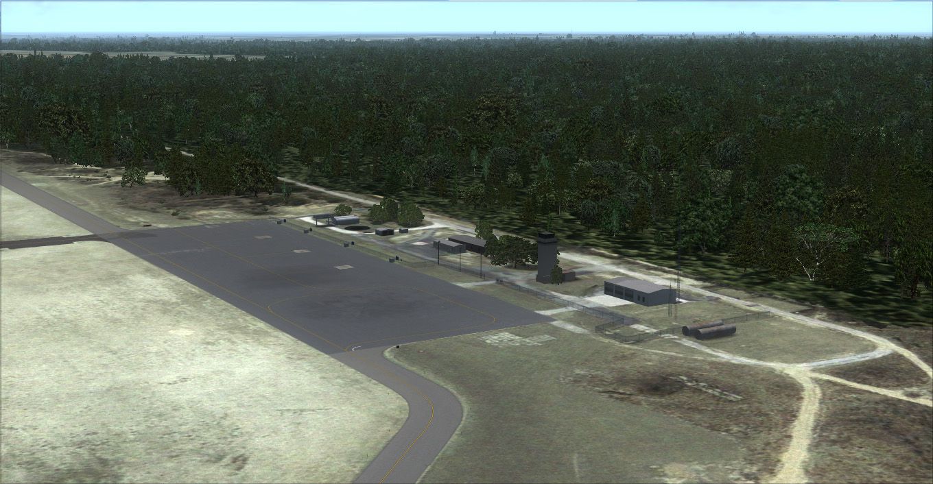
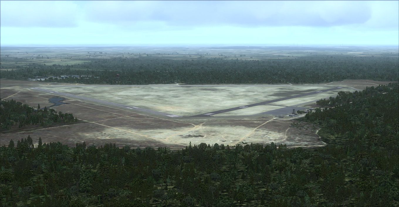
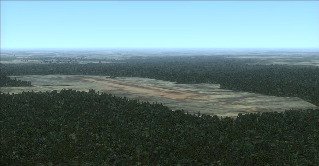
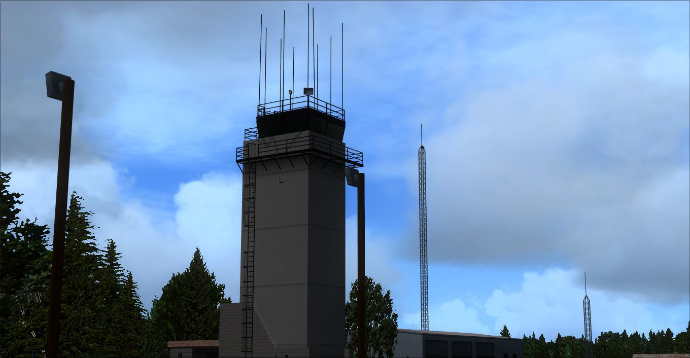
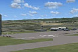
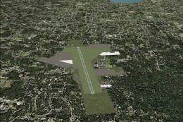
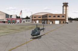
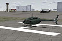
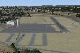
Mackall Army Airfield This scenery includes Mackall Army Airfield (KHFF) with custom models and textures for airport objects, high-detail ground poly, high resolution satellite imagery color corrected for seasonal changes, water and blend mask on the imagery for a perfect blend into the area, custom lighting effects, taxiway signage, runway 11-29 is now open to reflect the repaving done in late 2011. Also includes Luzon Drop Zone with dirt landing strip approximately 1 NM southeast of Mackall AAF, high resolution satellite imagery for the Luzon DZ, By The Airport Guys.
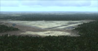
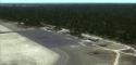
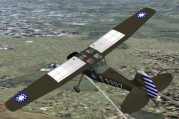
Aerial view of Mackall Army Airfield.
This scenery includes the following:- Mackall Army Airfield (KHFF):
- Custom models and textures for airport objects.
- High-detail ground poly.
- High resolution satellite imagery color corrected for seasonal changes.
- Water and blend mask on the imagery for a perfect blend into the area.
- The Airport Guys' 'TrueGlow' custom lighting effects.
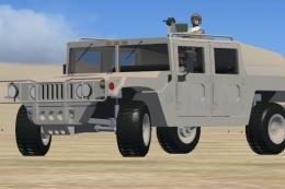
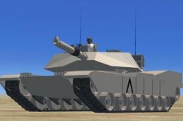
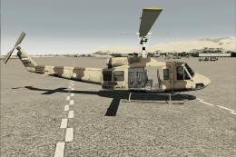
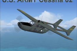
- Army base at Camp Mackall.
- Taxiway signage.
- Runway 11-29 is now open to reflect the re-paving done in late 2011.
- No frame rate impact.
- Luzon Drop Zone.
- Dirt landing strip approximately 1 NM southeast of Mackall AAF.
- High resolution satellite imagery for the Luzon DZ.
- Used for Army 'Care Package' training drops.
Images & Screenshots


Finding the Scenery
- FSX/Prepar3D Coordinates:
-
35.03700000,-79.49700000
Use the downloaded flight plan file by launching FSX/P3D, selecting "Load Flight Plan" in the flight planner, and choosing the .pln file. Your aircraft will be positioned directly at the add-on’s location. - Decimal Degrees (DD):
-
Latitude: 35.037000°
Longitude: -79.497000° - Degrees, Minutes, Seconds (DMS):
-
Latitude: 35° 02' 13.200" N
Longitude: 79° 29' 49.200" W
Map Location
The archive mackall_aaf.zip has 9 files and directories contained within it.
File Contents
This list displays the first 500 files in the package. If the package has more, you will need to download it to view them.
| Filename/Directory | File Date | File Size |
|---|---|---|
| Mackall Army Airfield.exe | 05.29.12 | 71.56 MB |
| HFF1.jpg | 05.29.12 | 301.04 kB |
| HFF2.jpg | 05.29.12 | 342.53 kB |
| HFF3.jpg | 05.29.12 | 200.08 kB |
| HFF4.jpg | 05.29.12 | 670.85 kB |
| HFF5.jpg | 05.29.12 | 202.04 kB |
| readme-hff.txt | 05.29.12 | 756 B |
| flyawaysimulation.txt | 10.29.13 | 959 B |
| Go to Fly Away Simulation.url | 01.22.16 | 52 B |
Installation Instructions
Most of the freeware add-on aircraft and scenery packages in our file library come with easy installation instructions which you can read above in the file description. For further installation help, please see our Flight School for our full range of tutorials or view the README file contained within the download. If in doubt, you may also ask a question or view existing answers in our dedicated Q&A forum.
0 comments
Leave a Response