FSX AGS 2010 - America Giga Scenery Screen Shots
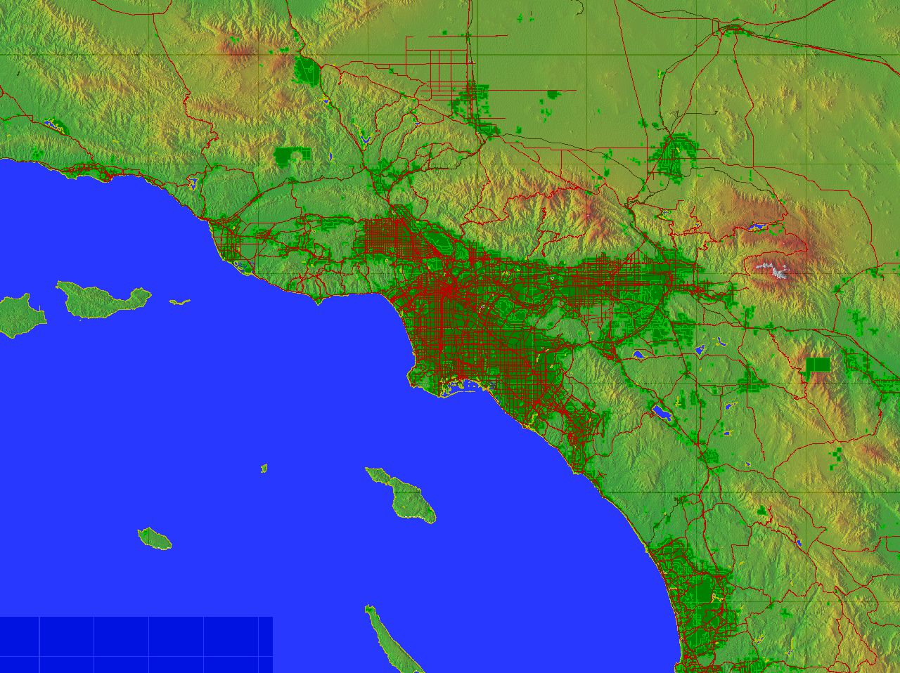
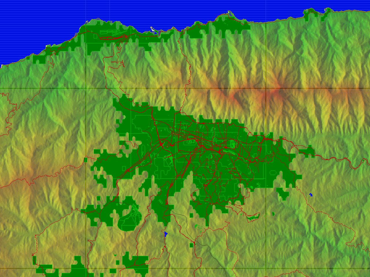
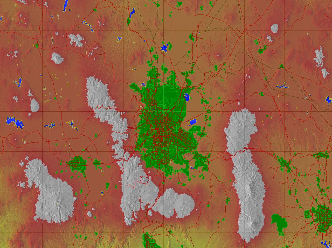
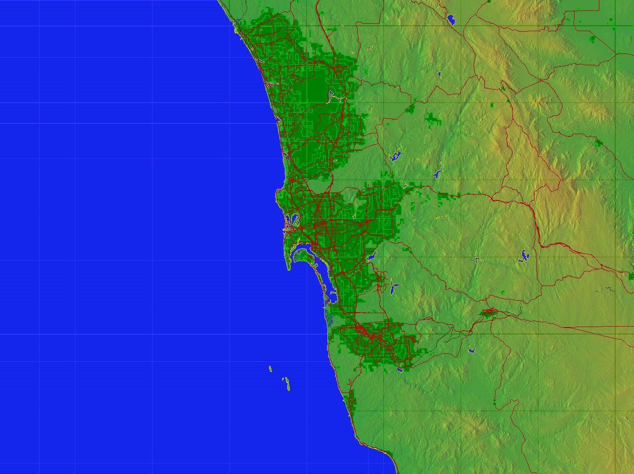
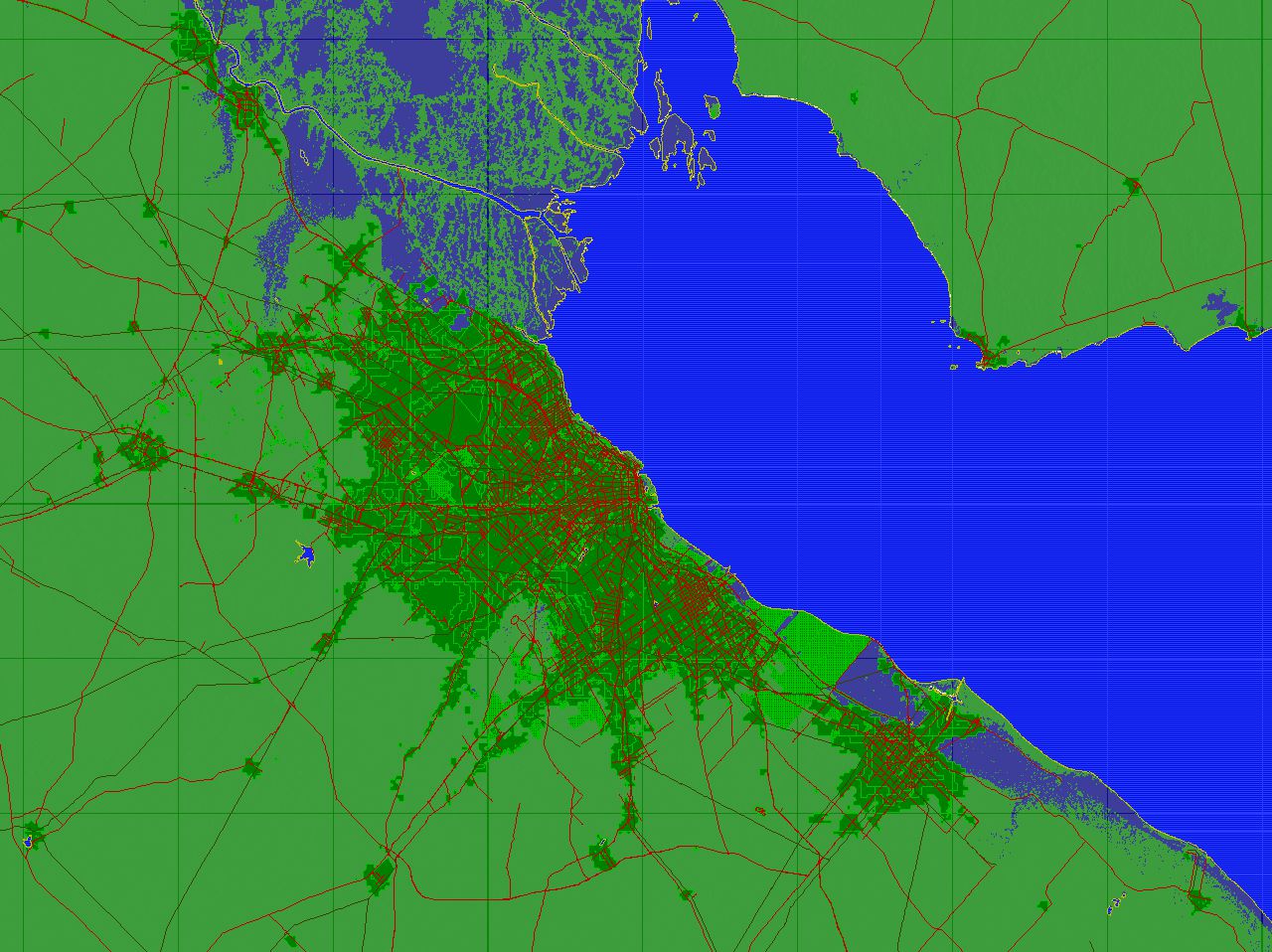
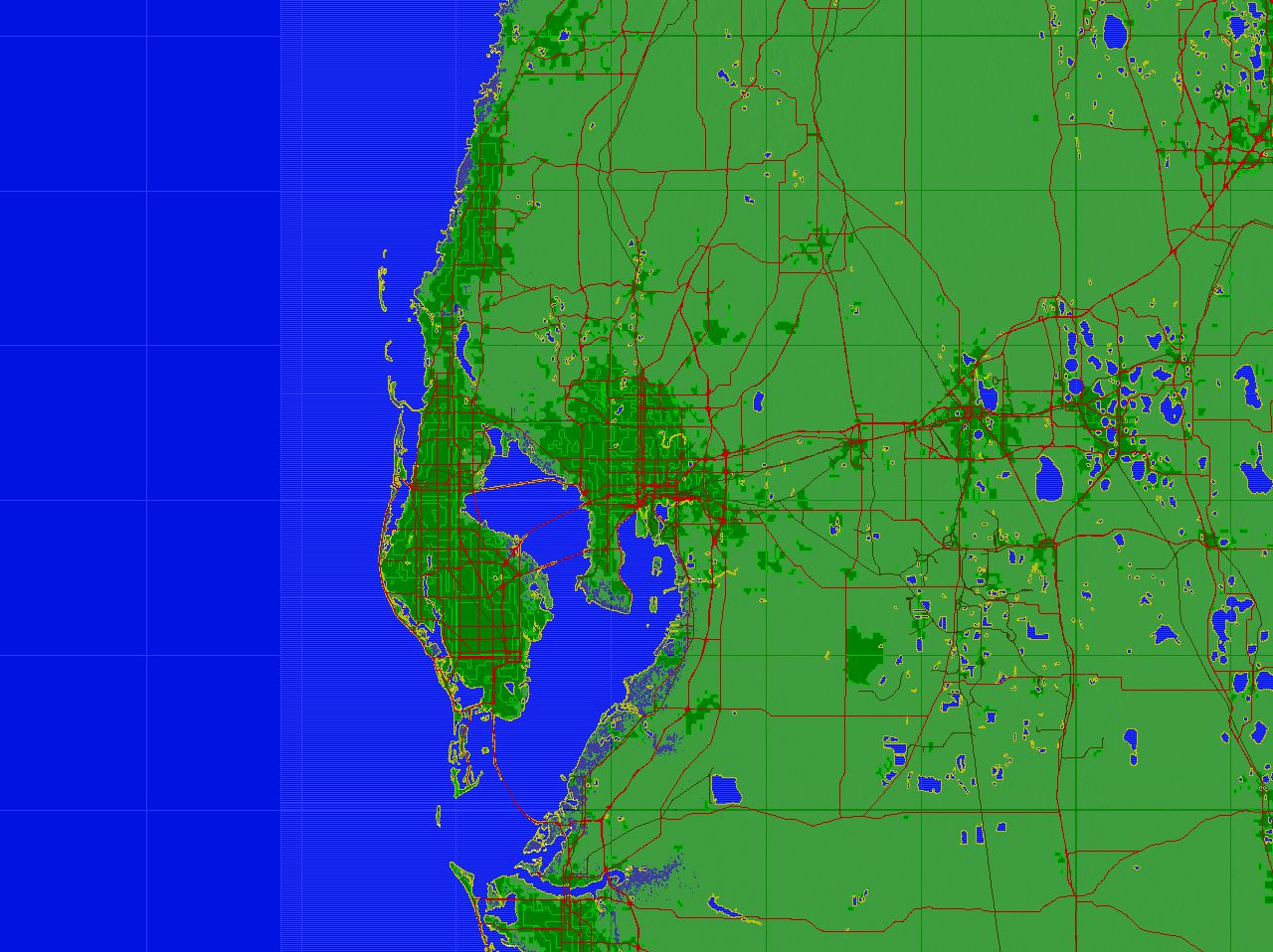
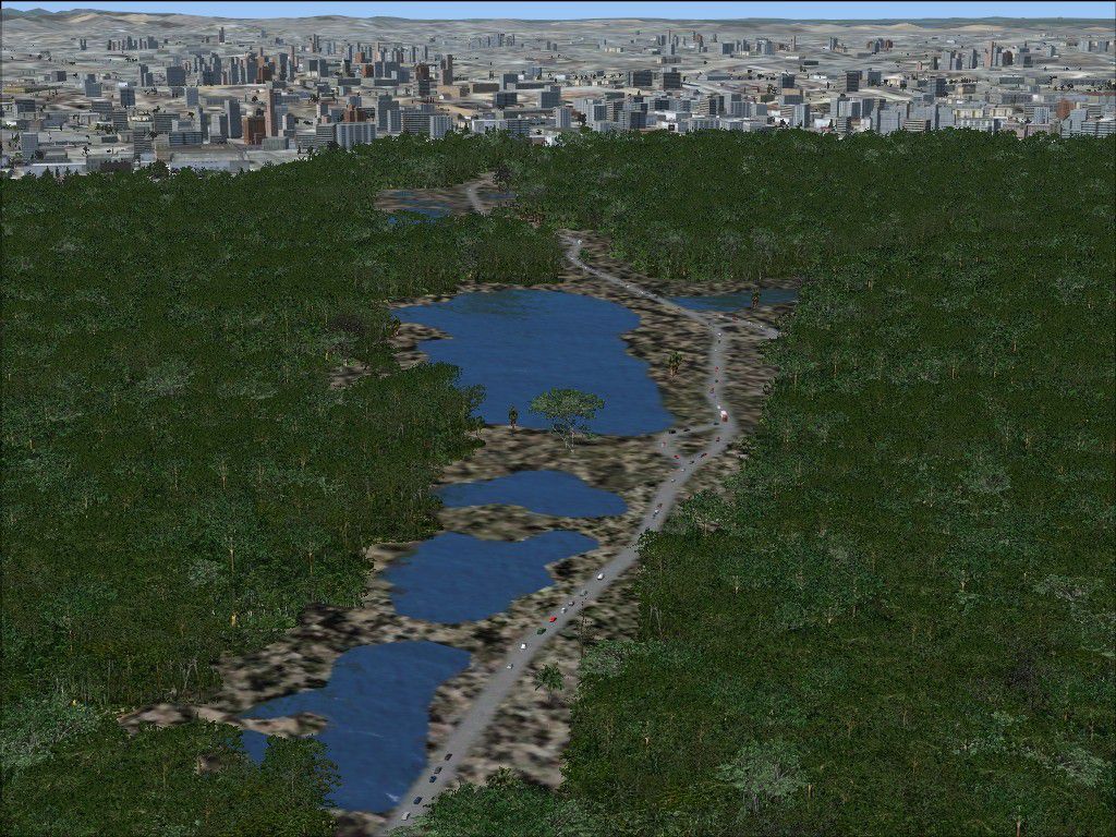
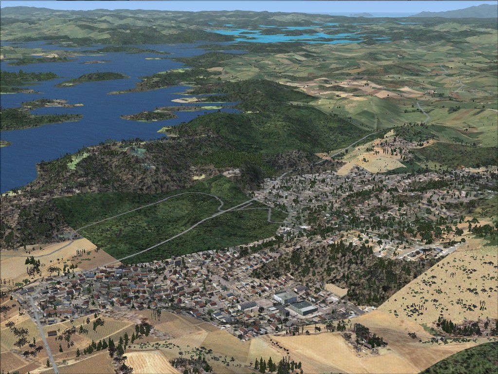
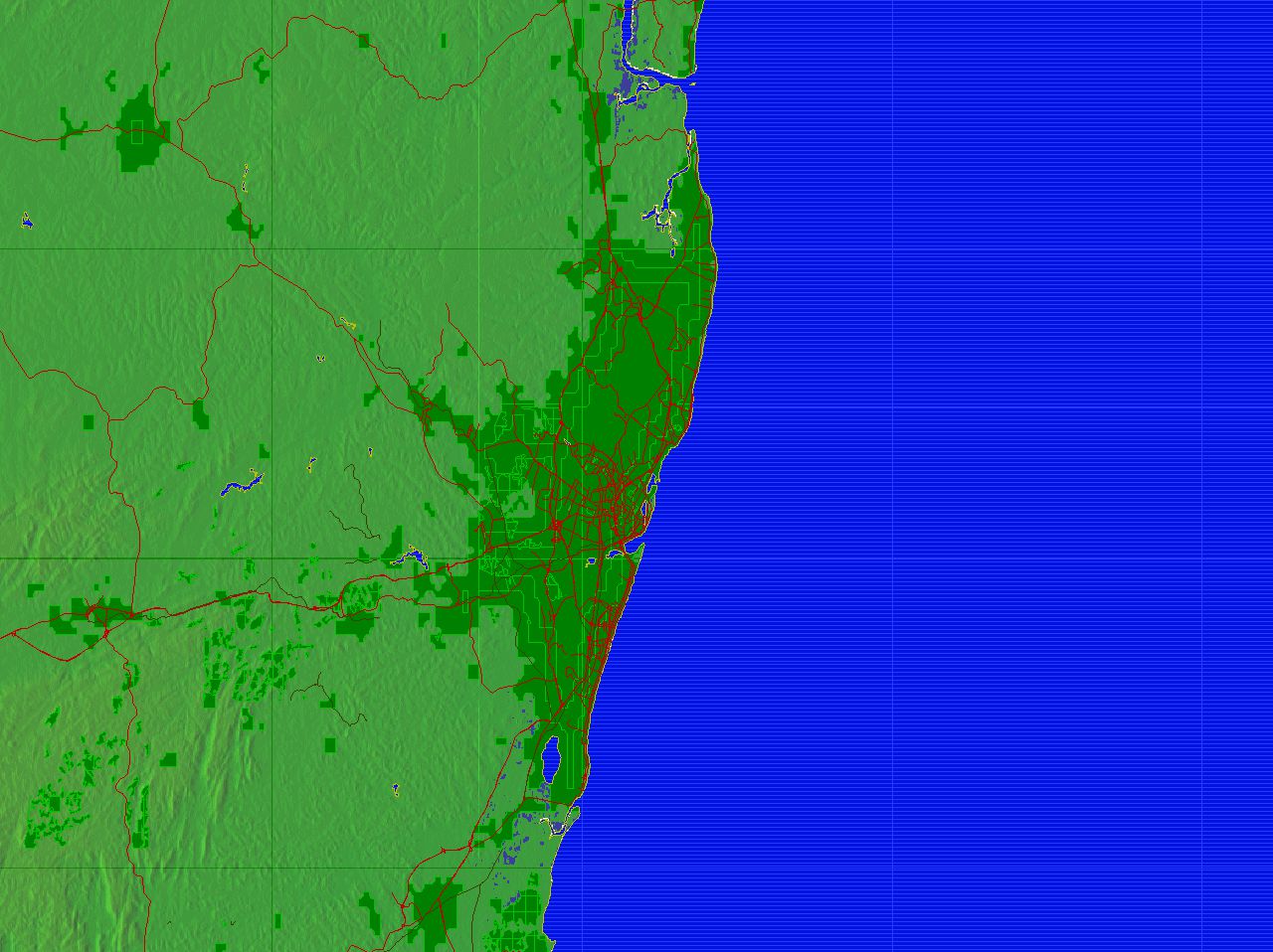
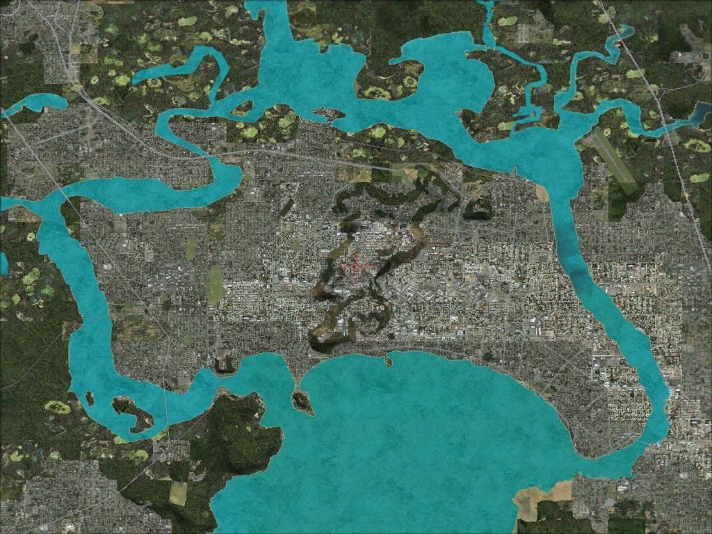
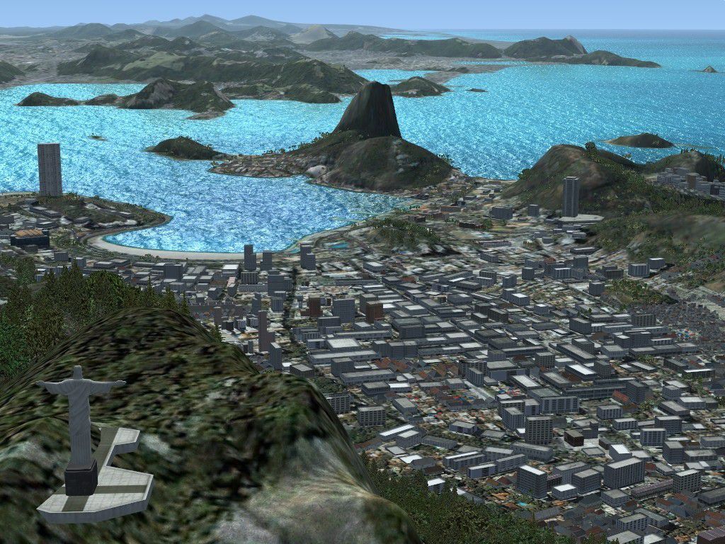
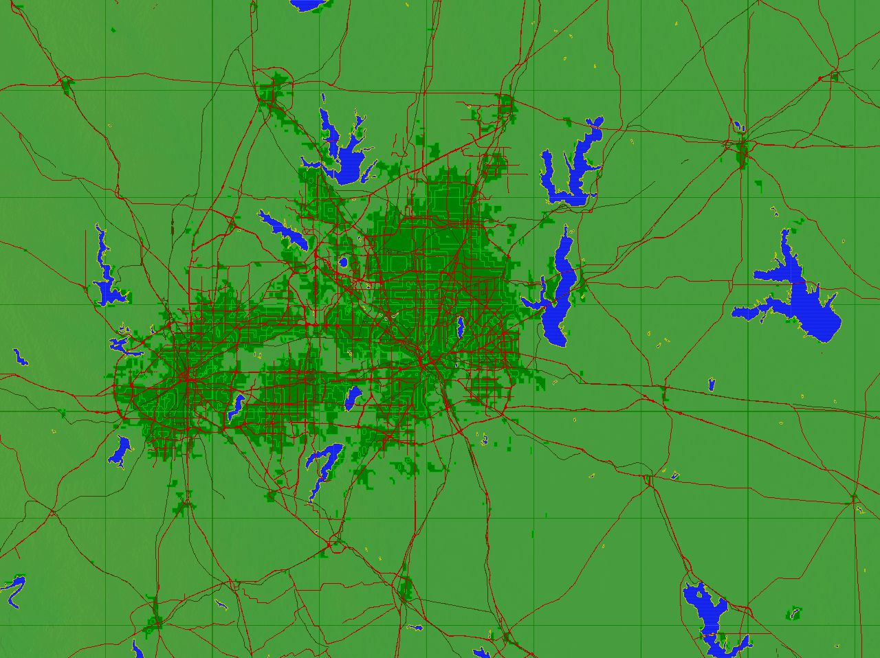
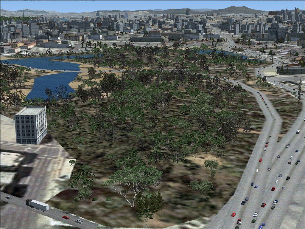
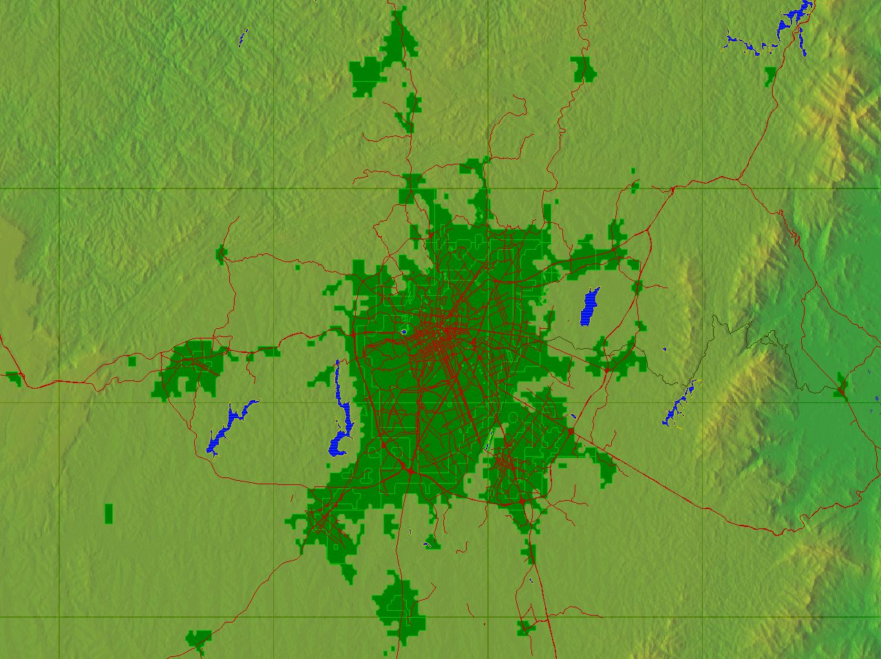
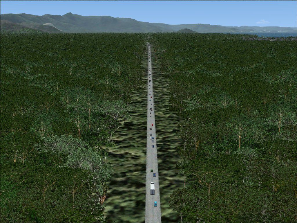
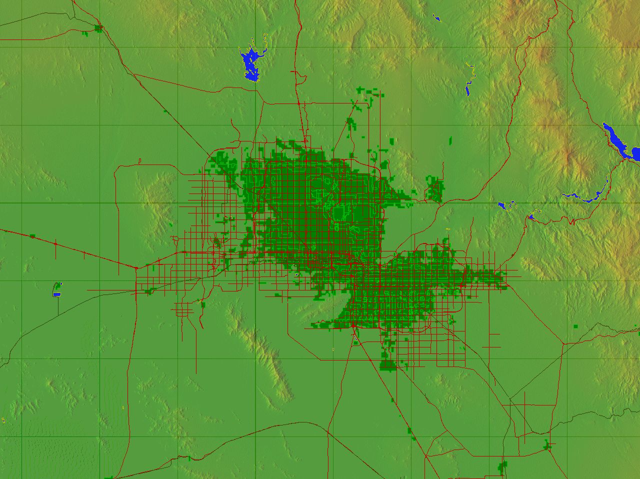
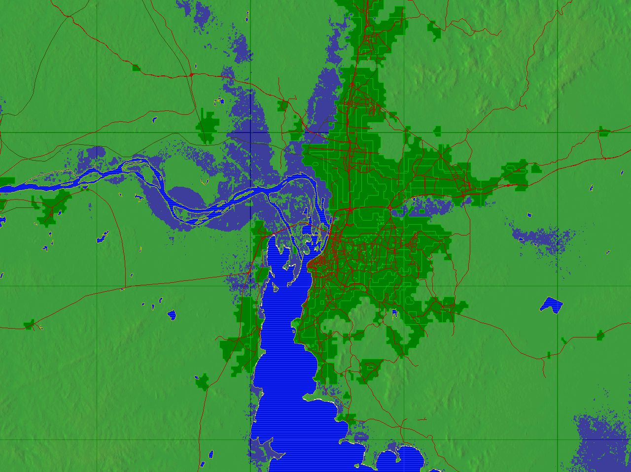
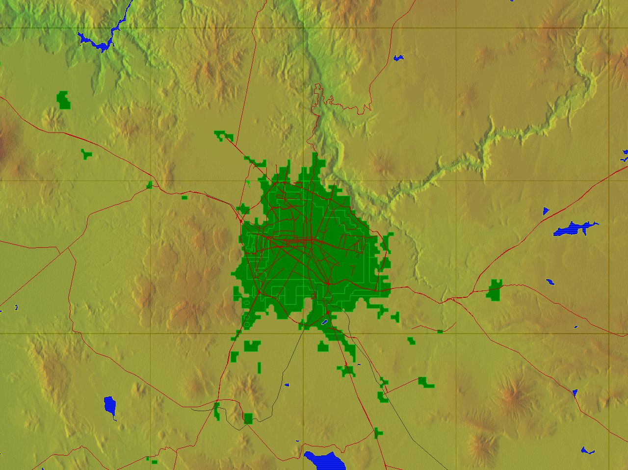
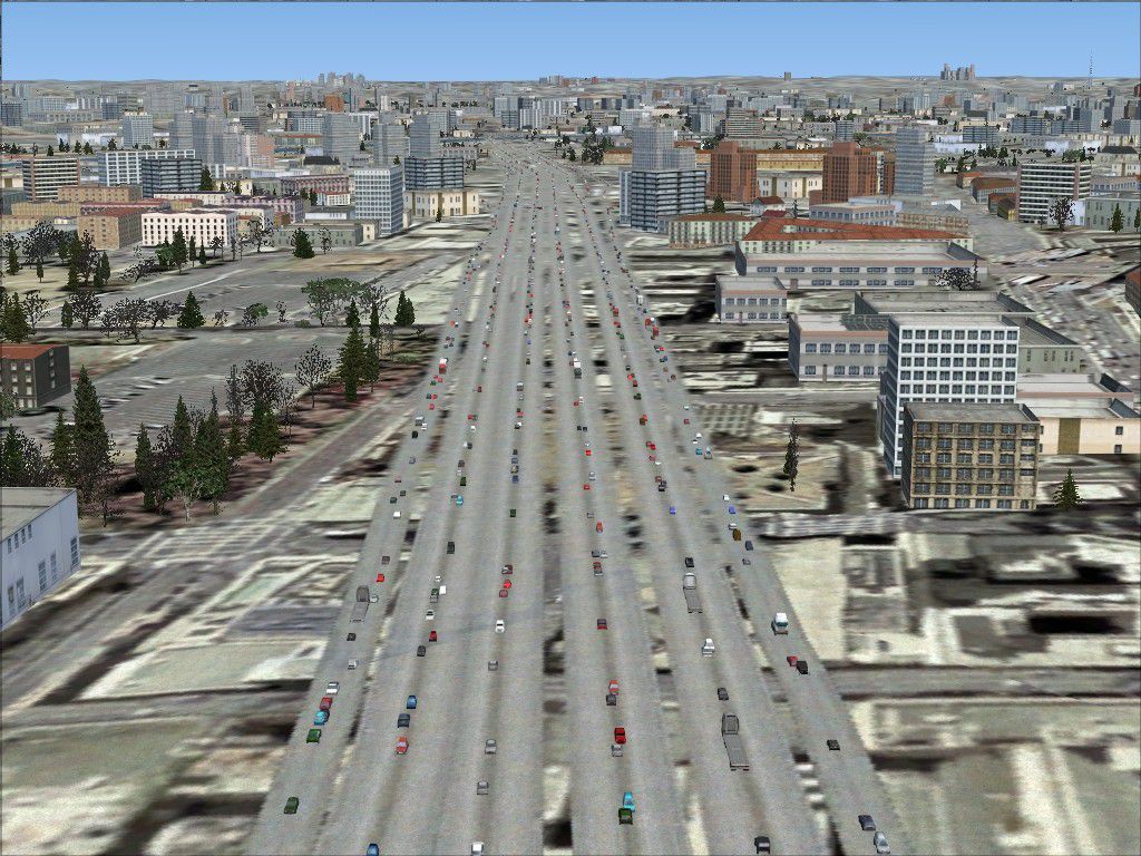
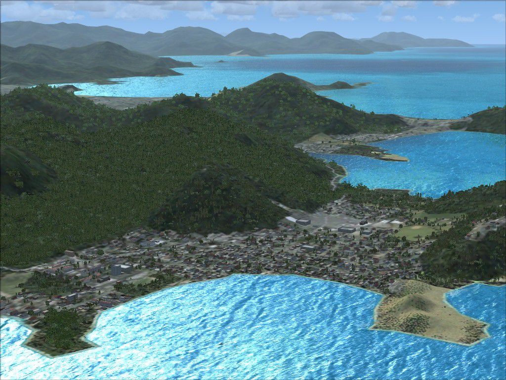
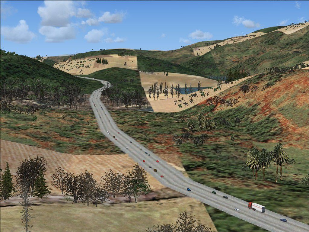
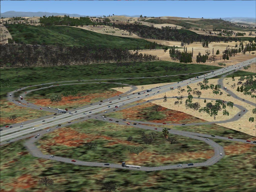
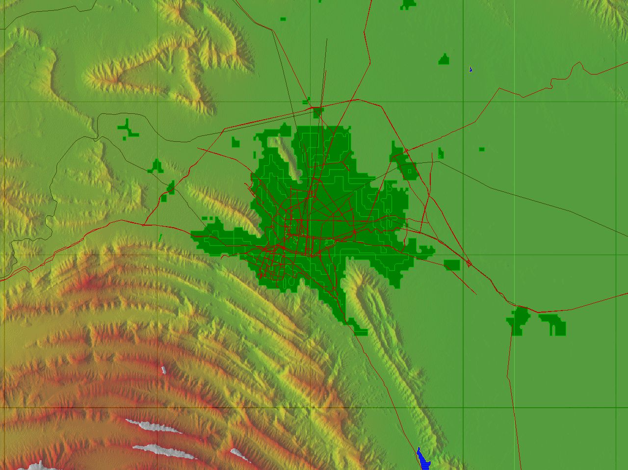
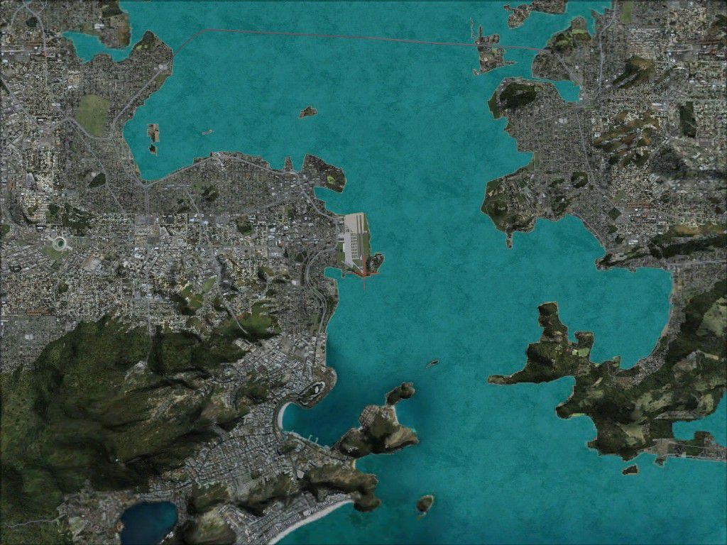
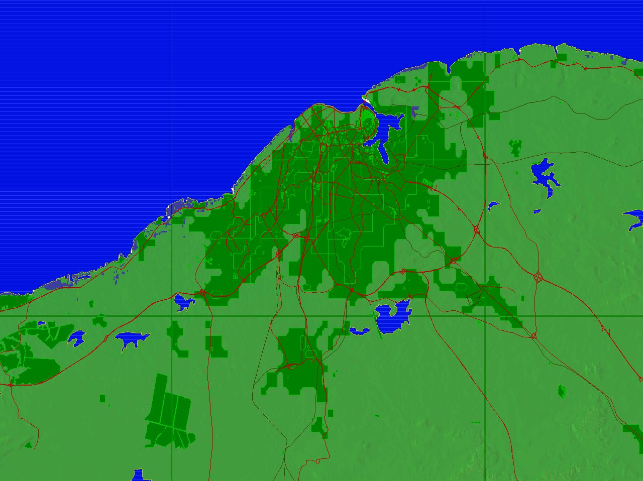
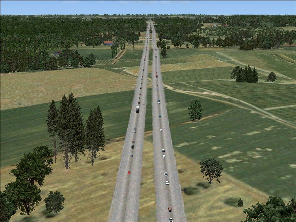
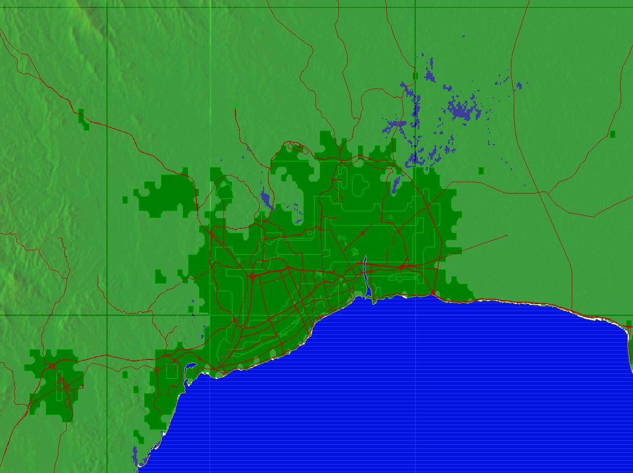
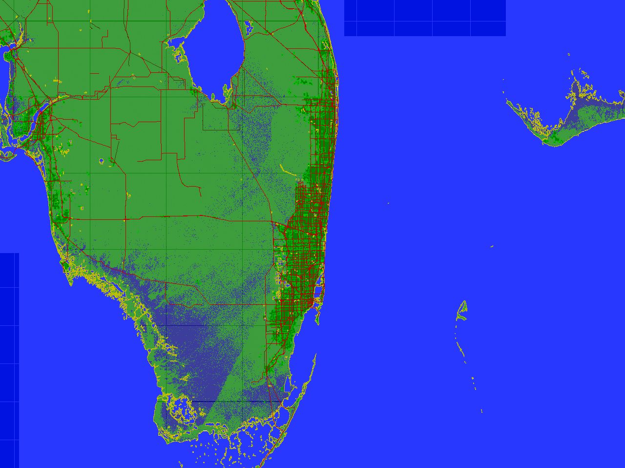
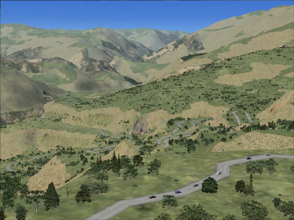
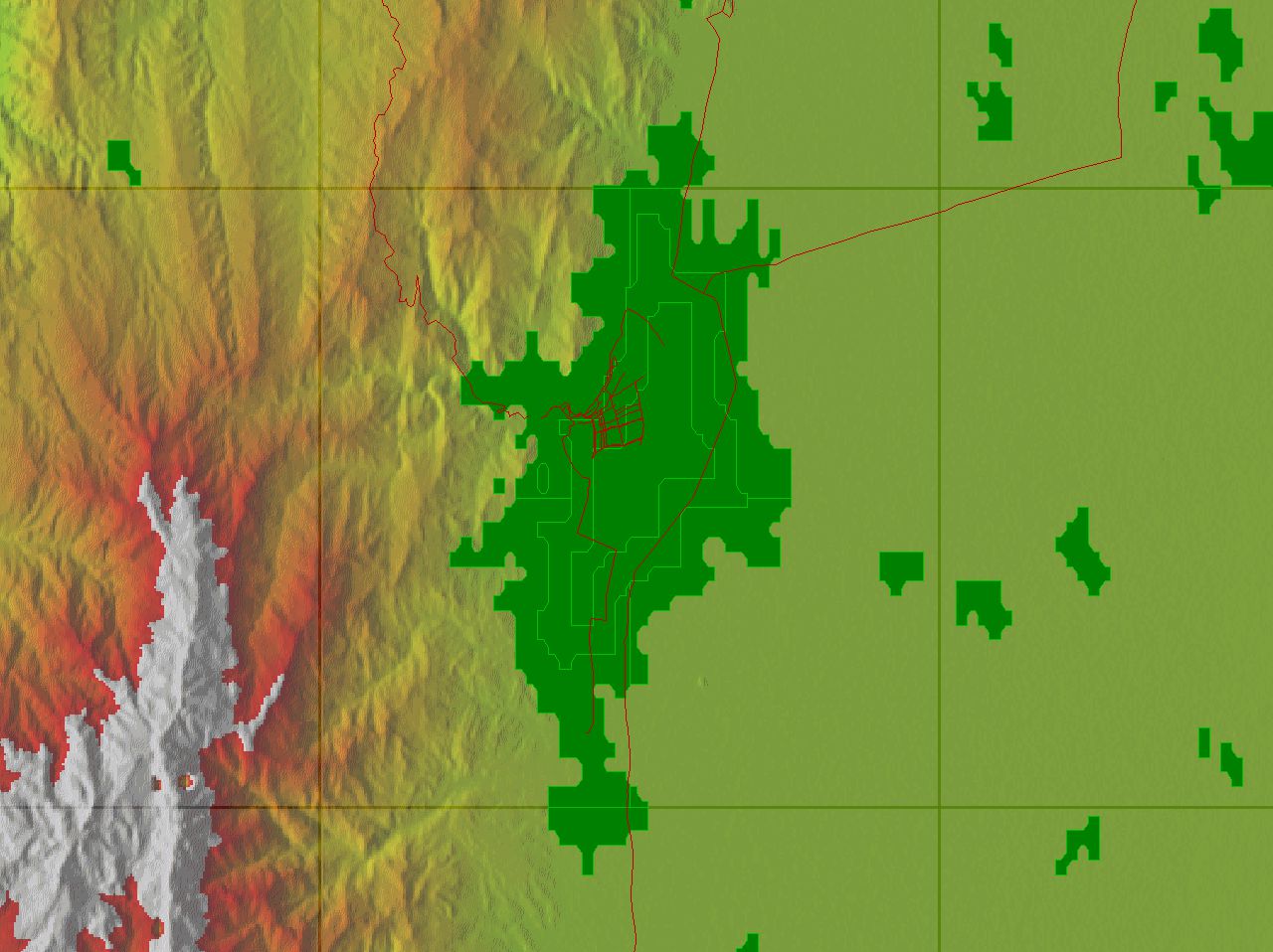
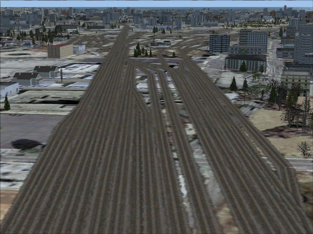
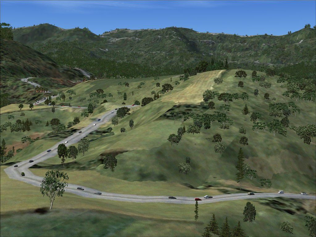
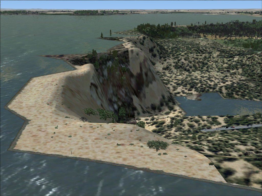
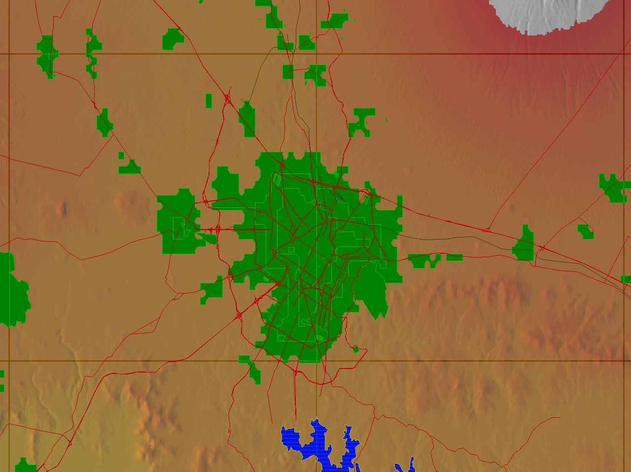
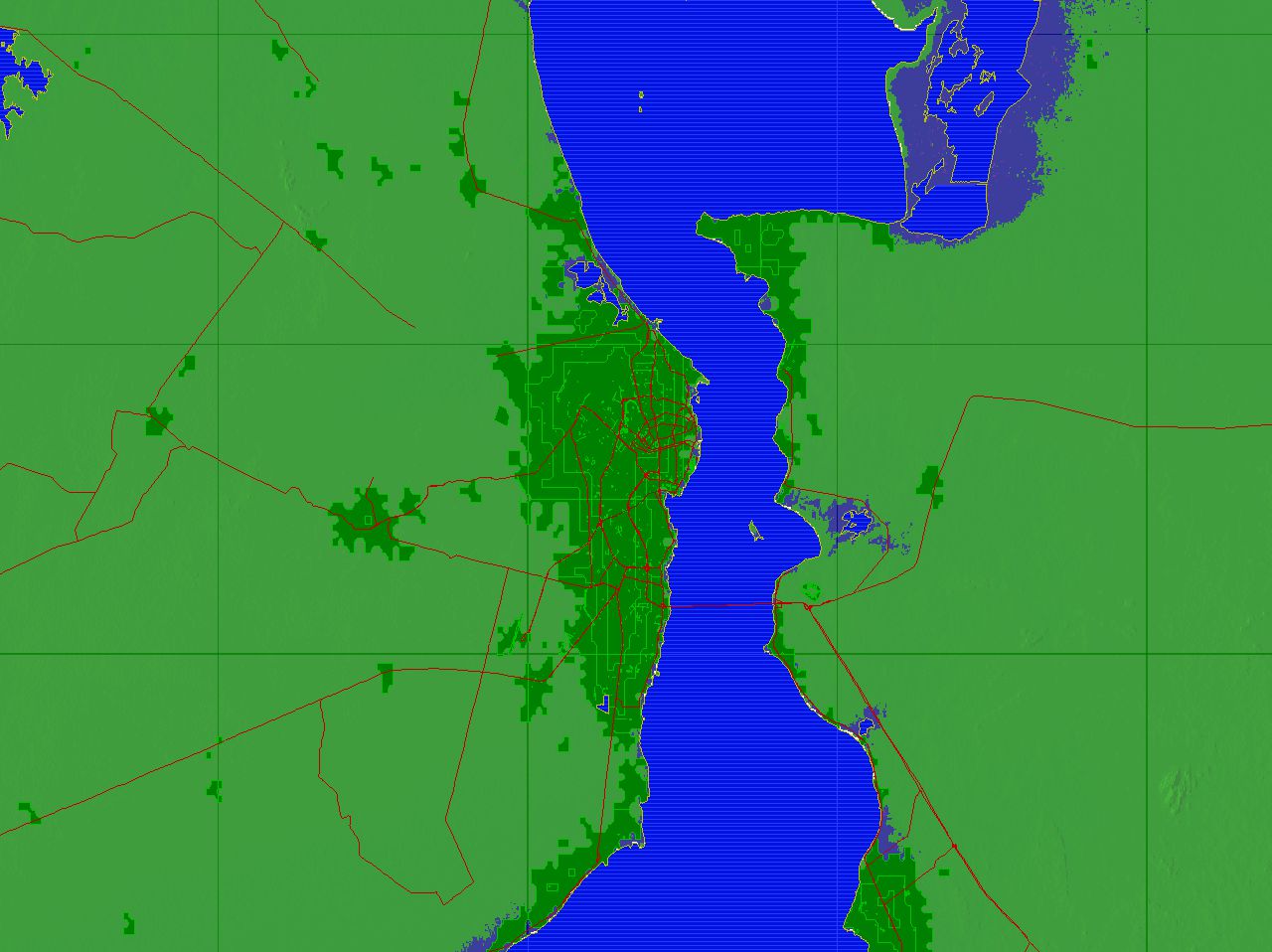
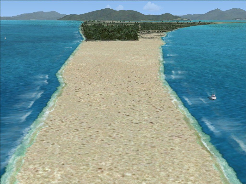
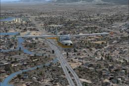
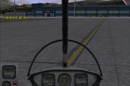
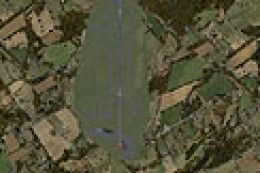
AGS 2010 America Giga Scenery brings North, Central, and South America to life in FSX with GPS-based terrain accuracy, SRTM relief, and GIS-driven vegetation. Detailed hydrography, beaches and islands, built-up urban areas, and dense transport networks with road and rail traffic create convincing VFR landmarks from villages to major cities.


 Prepar3D
- File: html_fsx_ags_2010_america_giga_scenery.zip
- Size:15.13 MB
- Scan:
Clean (20d)
- Access:Freeware
- Content:Everyone
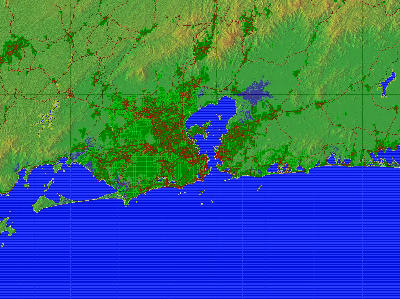
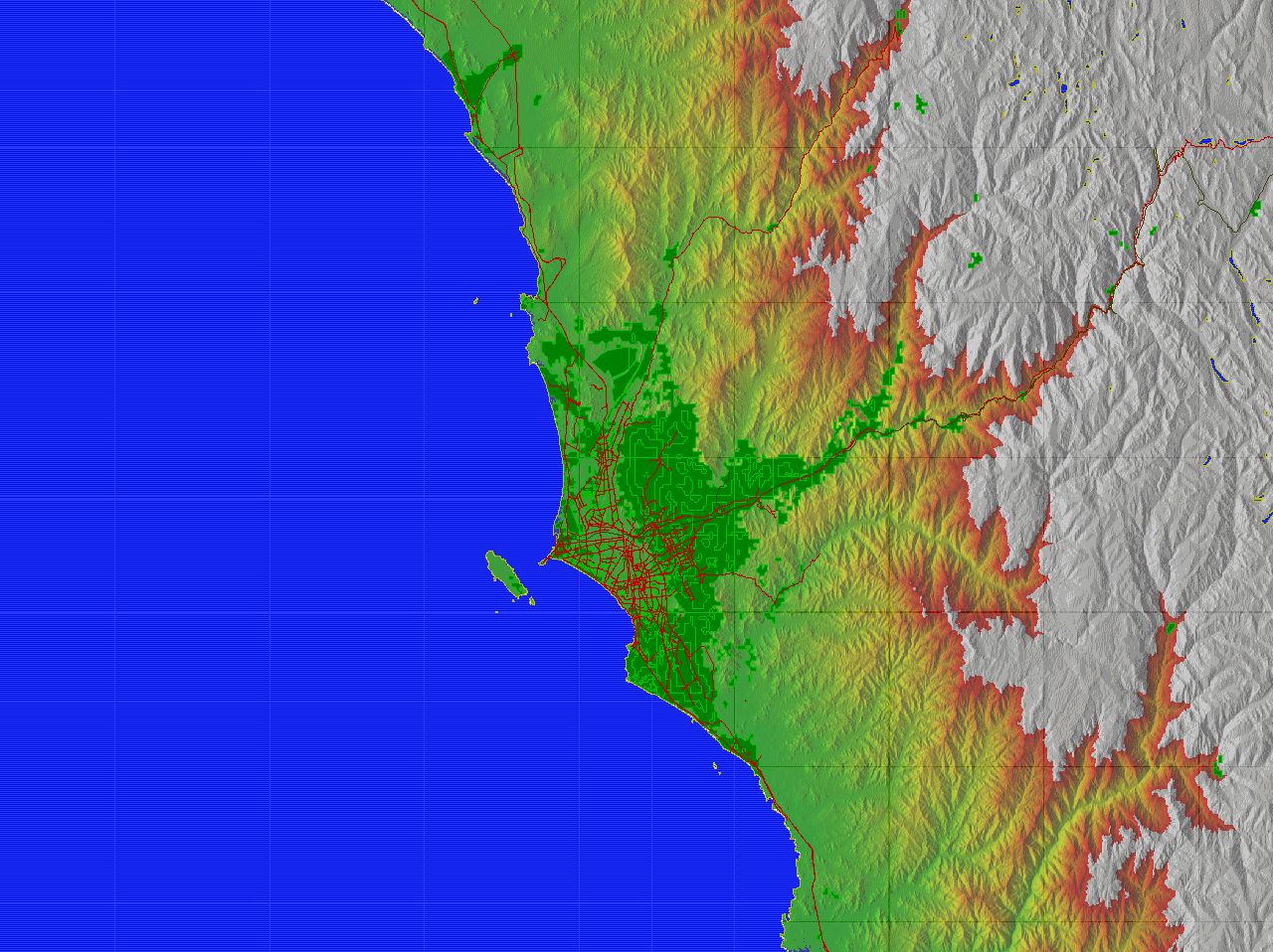
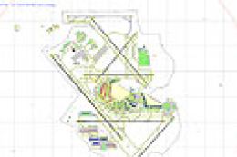
Scenery complement of North, Central and South Americas for FSX. Fully built with a database of high precision GPS. Complete relief SRTM with plains, plateaus, hills and mountains. Typical vegetation based in GIS high definition. Hydrography detailed with rivers, lakes, dams, oceans, islands and beaches. Built-up urban areas with parks, squares, villages, towns and cities. Highways, roads, streets, access roads and railroads with car traffic. By Wellington Gerhske da Camara Leal.
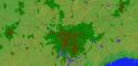
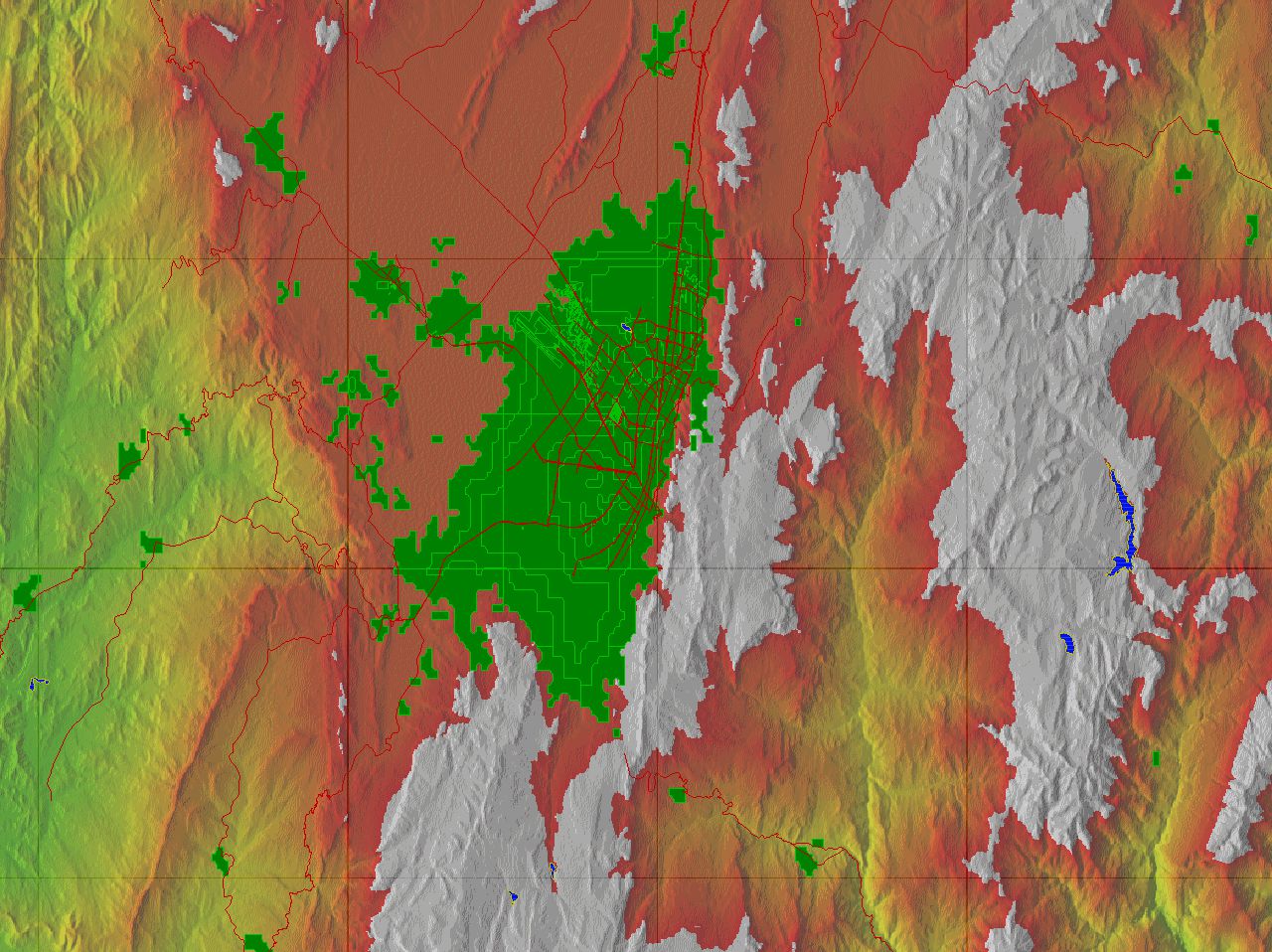
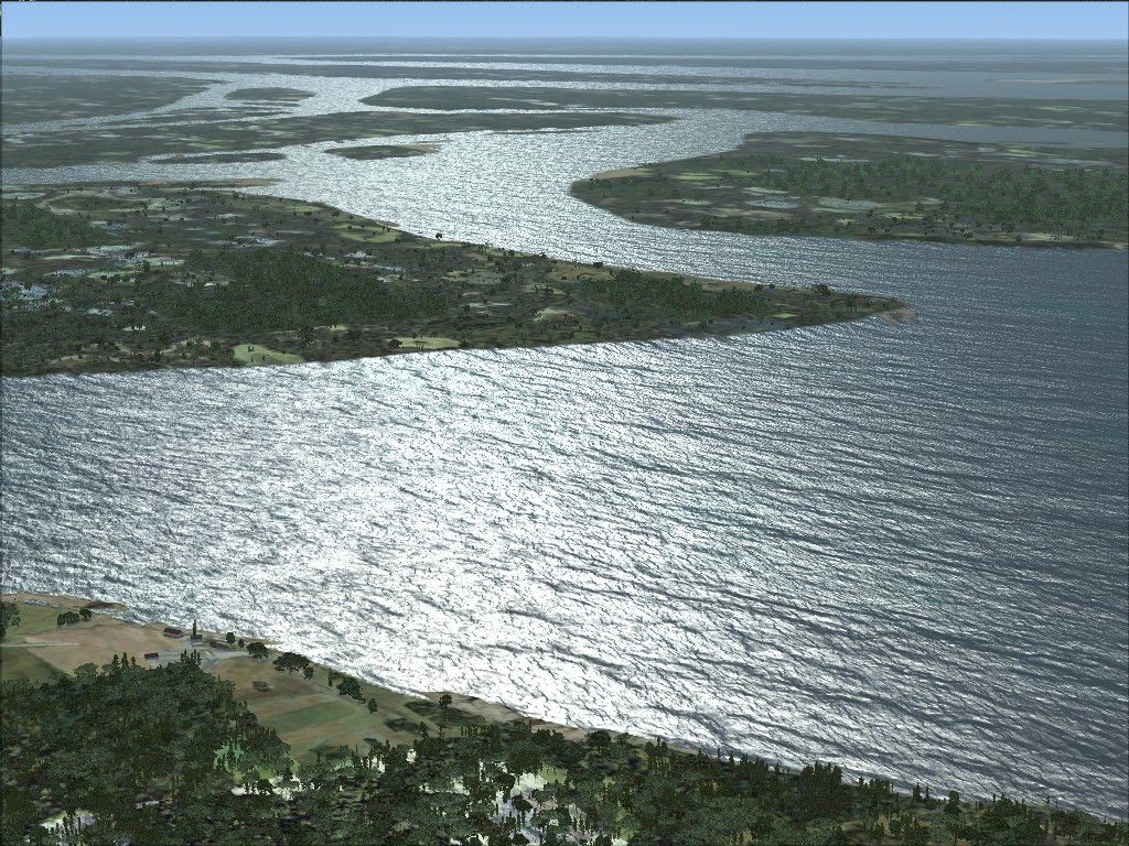
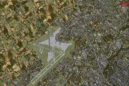
Overview of Atlanta scenery.
Images & Screenshots


The archive html_fsx_ags_2010_america_giga_scenery.zip has 59 files and directories contained within it.
File Contents
This list displays the first 500 files in the package. If the package has more, you will need to download it to view them.
| Filename/Directory | File Date | File Size |
|---|---|---|
| index.htm | 06.03.10 | 12.07 kB |
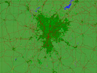
| atlanta.gif | 06.02.10 | 306.81 kB |
| belohorizonte.gif | 06.02.10 | 462.95 kB |
| bogota.gif | 06.02.10 | 463.81 kB |
| brasilia.gif | 06.02.10 | 343.08 kB |
| buenosaires.gif | 06.02.10 | 173.35 kB |
| cali.gif | 06.02.10 | 311.34 kB |
| caracas.gif | 06.02.10 | 386.47 kB |
| curitiba.gif | 06.02.10 | 397.92 kB |
| dallas.gif | 06.02.10 | 239.92 kB |
| fortaleza.gif | 06.02.10 | 132.20 kB |
| guadalajara.gif | 06.02.10 | 383.12 kB |
| guatemalacity.gif | 06.02.10 | 459.46 kB |
| houston.gif | 06.02.10 | 210.68 kB |
| lahabana.gif | 06.02.10 | 117.83 kB |
| lima.gif | 06.02.10 | 317.41 kB |
| losangeles.gif | 06.02.10 | 345.21 kB |
| maracaibo.gif | 06.02.10 | 159.35 kB |
| medellin.gif | 06.02.10 | 430.53 kB |
| mexicocity.gif | 06.02.10 | 414.42 kB |
| miami.gif | 06.02.10 | 107.59 kB |
| monterrey.gif | 06.02.10 | 341.38 kB |
| phoenix.gif | 06.02.10 | 338.05 kB |
| portoalegre.gif | 06.02.10 | 242.42 kB |
| puebla.gif | 06.02.10 | 269.87 kB |
| recife.gif | 06.02.10 | 191.90 kB |
| riodejaneiro.gif | 06.02.10 | 267.27 kB |
| salvador.gif | 06.02.10 | 224.34 kB |
| sandiego.gif | 06.02.10 | 263.12 kB |
| santiago.gif | 06.02.10 | 462.78 kB |
| santodomingo.gif | 06.02.10 | 153.99 kB |
| saopaulo.gif | 06.02.10 | 457.24 kB |
| tampa.gif | 06.02.10 | 205.93 kB |
| acessos.jpg | 06.03.10 | 251.91 kB |
| avenidas.jpg | 06.03.10 | 241.60 kB |
| background.jpg | 06.03.10 | 91.59 kB |
| cidades.jpg | 06.03.10 | 295.71 kB |
| cover.jpg | 06.03.10 | 291.70 kB |
| estradas.jpg | 06.03.10 | 294.54 kB |
| ferrovias.jpg | 06.03.10 | 208.42 kB |
| foreground 100%.jpg | 06.03.10 | 547.99 kB |
| foreground.jpg | 06.03.10 | 206.32 kB |
| ilhas.jpg | 06.03.10 | 245.85 kB |
| lagos.jpg | 06.03.10 | 205.93 kB |
| litoral.jpg | 06.03.10 | 265.12 kB |
| metropoles.jpg | 06.03.10 | 240.40 kB |
| montanhas.jpg | 06.03.10 | 224.11 kB |
| parques.jpg | 06.03.10 | 305.48 kB |
| planaltos.jpg | 06.03.10 | 253.32 kB |
| planicies.jpg | 06.03.10 | 229.68 kB |
| pracas.jpg | 06.03.10 | 289.86 kB |
| praias.jpg | 06.03.10 | 181.37 kB |
| represas.jpg | 06.03.10 | 197.49 kB |
| rios.jpg | 06.03.10 | 348.70 kB |
| rodovias.jpg | 06.03.10 | 261.83 kB |
| serras.jpg | 06.03.10 | 208.11 kB |
| vilas.jpg | 06.03.10 | 302.39 kB |
| flyawaysimulation.txt | 10.29.13 | 959 B |
| Go to Fly Away Simulation.url | 01.22.16 | 52 B |
Installation Instructions
Most of the freeware add-on aircraft and scenery packages in our file library come with easy installation instructions which you can read above in the file description. For further installation help, please see our Flight School for our full range of tutorials or view the README file contained within the download. If in doubt, you may also ask a question or view existing answers in our dedicated Q&A forum.


0 comments
Leave a Response