 FSX Scenery
Hawaii Complete Photoreal & Airports
A complete and fully featured photoreal, airport, building, and autogen scene…
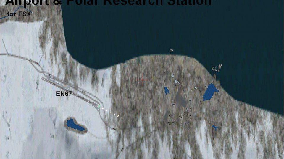
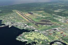
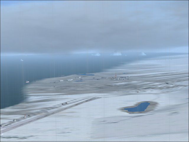
Svalbard/Spitzbergen Airports scenery refreshes Arctic operations in FSX with improved ENSB Longyearbyen and the nearby EN67 Brøggerhalvøya strip. Expect corrected default layouts plus added local detail including marina areas, radar and town objects, ships, an observatory, lakes, icebergs, and a small research settlement for richer high-latitude VFR flying.
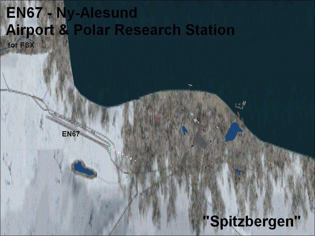
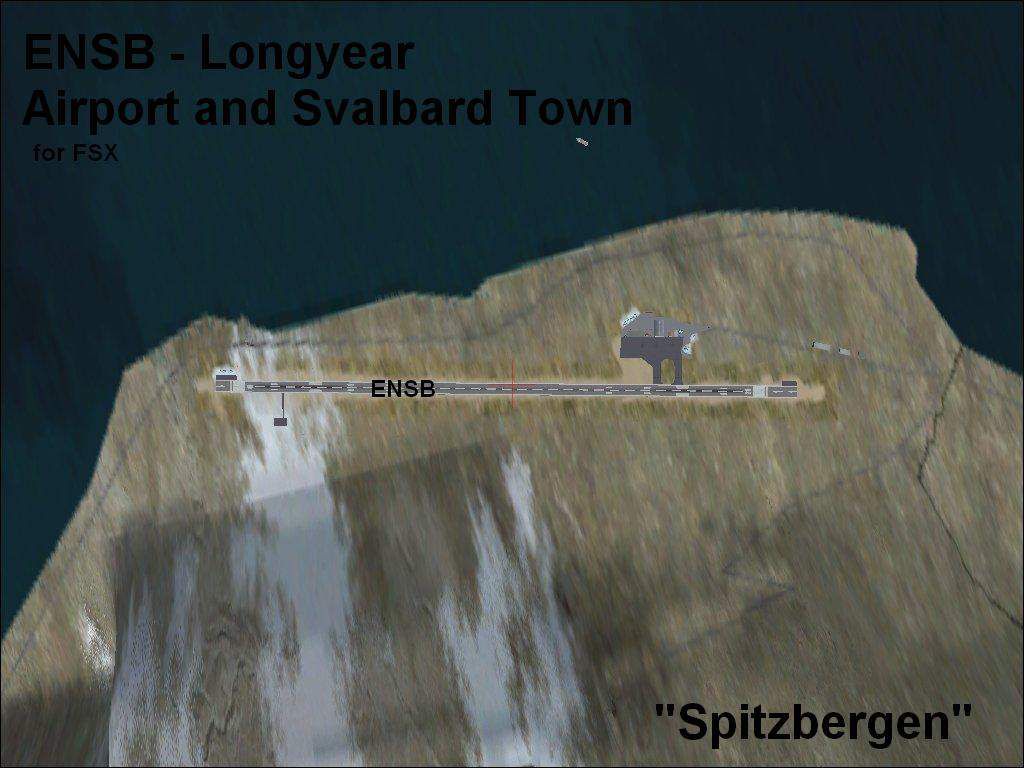
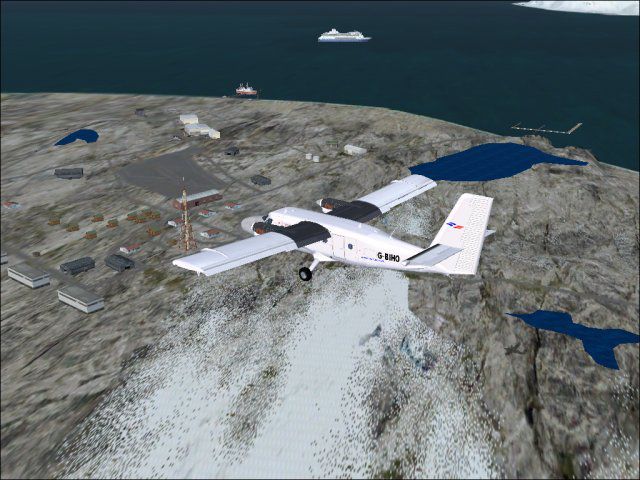
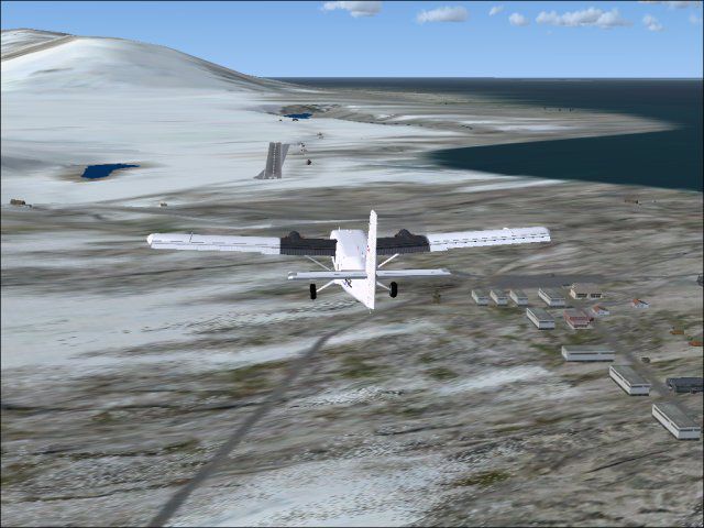

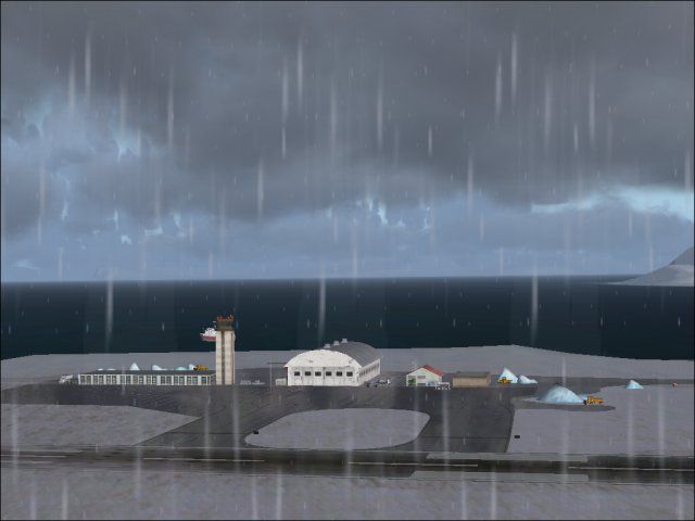

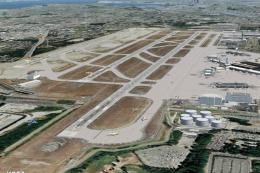
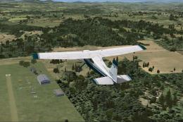
Svalbard/Spitzbergen Airports (ENSB, EN67), Norway (near the North Pole). This Svalbard/Spitzbergen package consists of two airports. ENSB is the Svalbard Longyear airport. It is only a correction/update of the default airport buildings and aprons but with more objects (marina, radar station, buildings and cars). EN67 is a small runway called Broggerhalvoya airport. Near EN67 are placed some additional objects like a marina, observatory, lakes and a small resarch station.

Svalbard/Spitzbergen Airports Scenery.
Install:
You will install this airport in any activated scenery directory as for example:
C:\Program Files\Microsoft Games\Microsoft Flight Simulator X\Addon Scenery\Svalbard_(Spitzbergen)_-_Norway\scenery
Note:
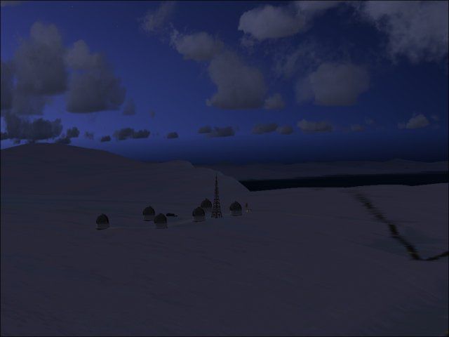
This Svalbard/Spitzbergen package consists of two airports. ENSB is the Svalbard Longyear airport. It is only a correction/update of the Standard FSX with buildings and aprons but with more objects (marina, radar station, buildings and cars). EN67 is a little small runway called Broggerhalvoya airport. Near EN67 I placed also some additional objects like a marina, observatory, lakes and a small resarch station (=town Ny-Alesund).
ENSB Info: One runway 10-28 / asphalt
One Heliport
ENSB Additional: Marina
Tourist Ships
Town
Radar Station
EN67 Info: one runway 12-30 / asphalt
EN67 Additional: Marina
Observatory
Iceberg and Ships
Lakes
I hope, that you will finde these airports better than the FSX standard airports. I hope it will work correctly. But only install it by your own risk! No warranty!
Designed with ADE 1.37
Svalbard/Spitzbergen Airports Scenery.
Free for all simmers · 481.8 KB · Scanned clean Jul 2026
Download speed: Free tier is capped at 0.5 Mbps. PRO members download at full line speed.
FSX\Addon Scenery\ containing scenery and texture sub-folders.readme.txt or README file. It tells you exactly where files go, what dependencies are needed, and any quirks specific to this add-on.Use these coordinates to fly directly to this location once the mod is installed.
78.24610000,15.46560000
Launch FSX or Prepar3D and use Flights → Load to open the downloaded .pln file. Your aircraft will be positioned at this location.
The archive svalsptz.zip has 21 files and directories contained within it.
This list displays the first 500 files in the package. If the package has more, you will need to download it to view them.
| Filename/Directory | File Date | File Size |
|---|---|---|
| EN67_Airport.jpg | 01.07.09 | 50.82 kB |
| EN67_and_Research_(Ny-Alesund).jpg | 01.07.09 | 29.50 kB |
| EN67_Map.jpg | 01.07.09 | 84.16 kB |
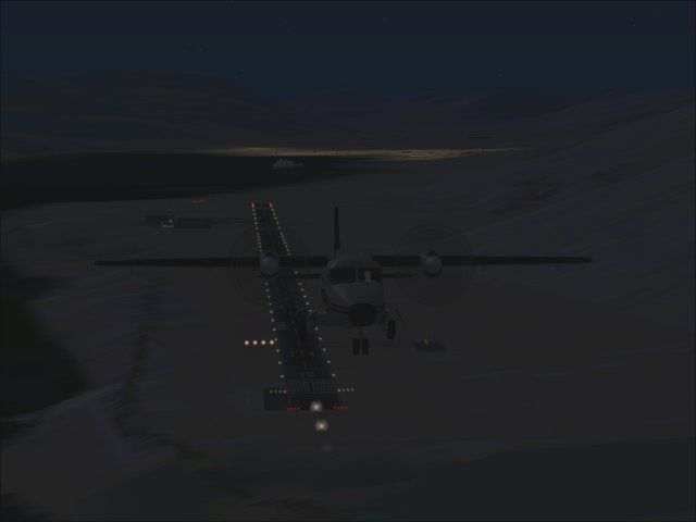
| EN67_Night_Landing.jpg | 01.07.09 | 9.86 kB |
| EN76_Day_Landing.jpg | 01.07.09 | 60.05 kB |
| EN76_Polar_Research_Station.jpg | 01.07.09 | 73.02 kB |
| ENSB_Longyear_Airport.jpg | 01.07.09 | 32.33 kB |
| ENSB_Map.jpg | 01.07.09 | 71.34 kB |
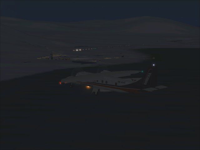
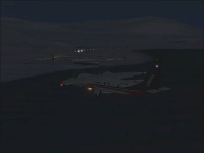
| ENSB_Night_Landing.jpg | 01.07.09 | 27.50 kB |
| ENSB_Night_Start.jpg | 01.07.09 | 11.19 kB |
| ENSB_Radar_Station.jpg | 01.07.09 | 16.64 kB |
| File_id.diz | 01.07.09 | 637 B |
| Svalbard_(Spitzbergen)_-_Norway | 01.07.09 | 0 B |
| README.TXT | 01.07.09 | 1.32 kB |
| Scenery | 01.07.09 | 0 B |
| EN67_ADE_BW.BGL | 01.06.09 | 15.84 kB |
| EN67_ADE_BW_CVX.bgl | 01.06.09 | 6.68 kB |
| ENSB_ADE_BW.BGL | 01.07.09 | 13.18 kB |
| ENSB_ADE_BW_CVX.bgl | 01.07.09 | 2.00 kB |
| flyawaysimulation.txt | 10.29.13 | 959 B |
| Go to Fly Away Simulation.url | 01.22.16 | 52 B |
Only PRO members can place votes.
More FSX & P3D add-ons hand-picked based on this download.
FSX Scenery
A complete and fully featured photoreal, airport, building, and autogen scene…
 FSX Scenery
Seattle Airports, Washington (WA). A revision of the default Seattle-Tacoma (…
 FSX Scenery
73 Airports And Airfields In South Africa. Enhanced airports based on Google …
 FSX Scenery
A package for Microsoft Flight Simulator X that brings 7 Swiss airports to r…
FSX Scenery
Scenery For 31 Airports In Iran, VOR approach and parking fixed. Includes Ema…
 FSX Scenery
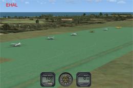
FSX Update For Dutch Airports (The Netherlands). Dutch airports EHAL, EHBD, E…
 FSX Scenery
Papua New Guinea Airports Part 1. PNG has more airfields and heliports than t…
FSX Scenery
Florida Airports (FL). AFCAD files made with Airport Design Editor to coordin…
Be the first to leave a comment on this download.
Be the first to share your thoughts on this download.