FSX East Midlands Airport Scenery
East Midlands Airport (EGNX) scenery rebuilds the UK field with corrected runway layout, taxiways, and airport positioning aligned to satellite imagery and certified NAT charts. Built with Airport Design Editor and default object libraries, it refreshes the entire airfield for smoother, more accurate operations in Microsoft Flight Simulator X.
 United Kingdom
 - File: emid_fsx_2010.zip
- Size:2.84 MB
- Scan:
Clean (27d)

- Access:Freeware
- Content:Everyone
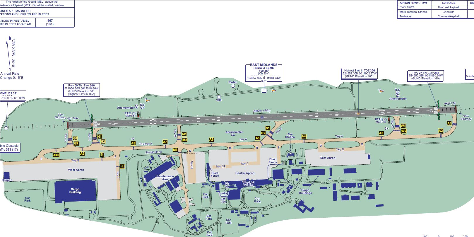
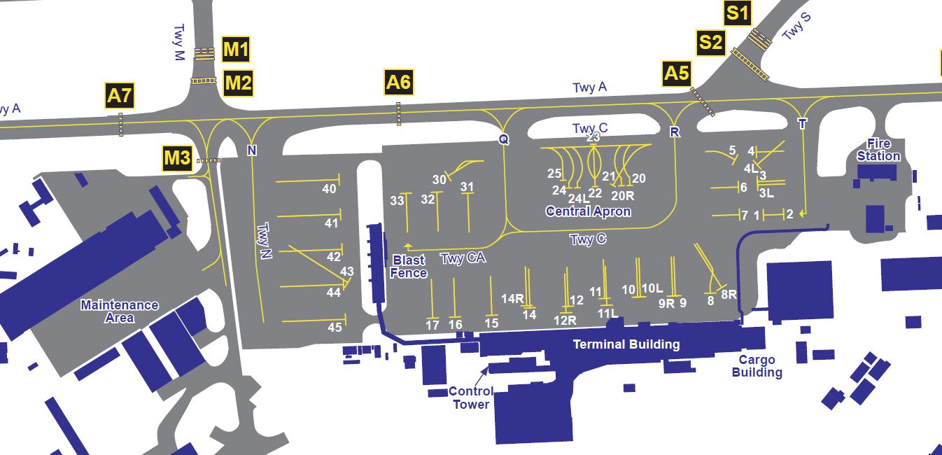
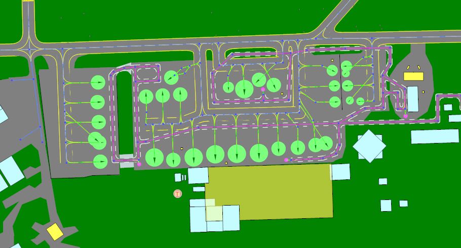
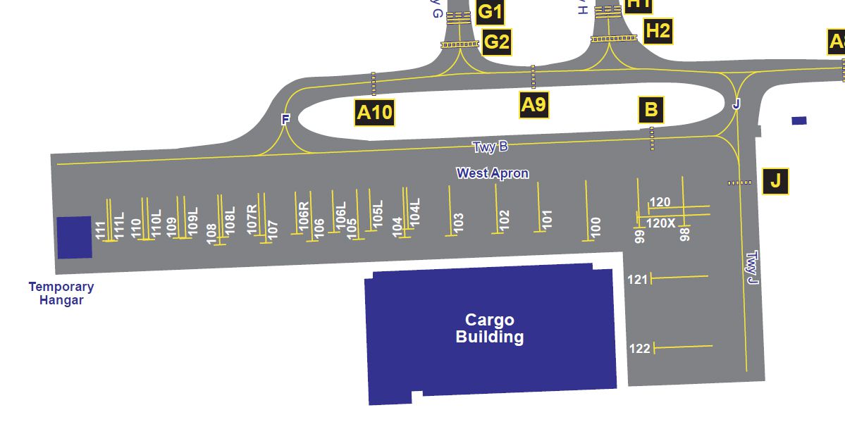
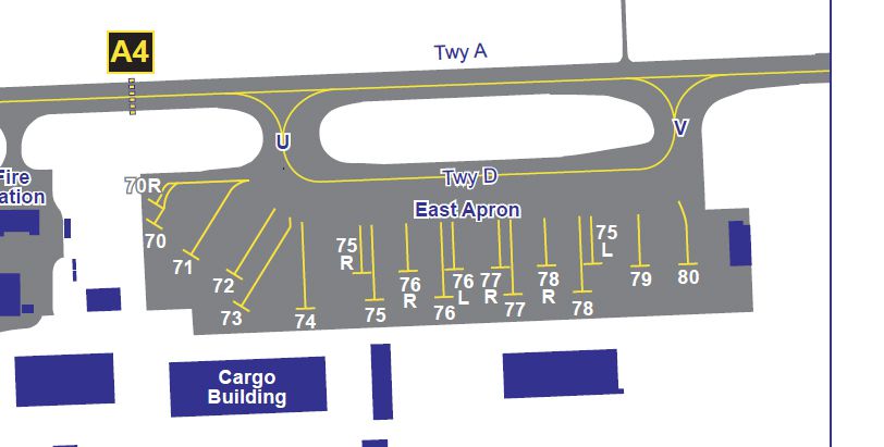
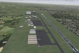
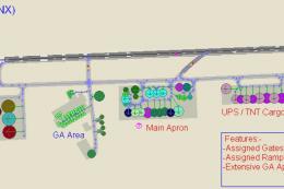
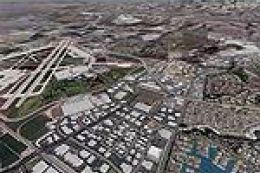
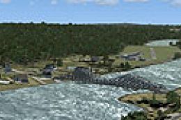
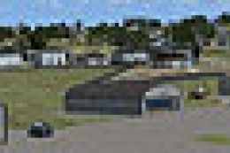
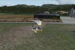
East Midlands Airport Scenery (EGNX), UK. This is a complete re-work of East Midlands Airport. The airport has been corrected to satelite images and certified maps. The whole airport has been done on ADE9x, showing the power of this product. It uses default buildings only. By Chris Barrott.
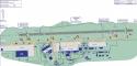
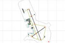
Overview of East Midlands Airport Scenery.
This is the first of a series of airport corrections, the default airports simply do not do the job!
This is East Midlands and it has only been tested in FSX. It will not work for FS2004.
The airport is correct to certified NAT maps.
The airport has been done on ADE (Airport Design Editor) and it uses default objects.
INSTALLATION:
1) Copy the files EGNX_ADEX_CJB and EGNX_ADEX_CJB_CVX into your Addon Scenery/Scenery directory in your FSX route folder.
2) Enjoy the scenery in FSX!
If you want to edit the scenery, the ADE files are there. You MAY NOT re-publish this airport with some changes that you have made.
THIS CAN NOT BE SOLD OR USED TO MAKE MONEY IN ANY WAY.
Images & Screenshots

Finding the Scenery
- FSX/Prepar3D Coordinates:
-
52.83110000,-1.32810000
Use the downloaded flight plan file by launching FSX/P3D, selecting "Load Flight Plan" in the flight planner, and choosing the .pln file. Your aircraft will be positioned directly at the add-on’s location. - Decimal Degrees (DD):
-
Latitude: 52.831100°
Longitude: -1.328100° - Degrees, Minutes, Seconds (DMS):
-
Latitude: 52° 49' 51.960" N
Longitude: 1° 19' 41.160" W
Map Location
The archive emid_fsx_2010.zip has 12 files and directories contained within it.
File Contents
This list displays the first 500 files in the package. If the package has more, you will need to download it to view them.
| Filename/Directory | File Date | File Size |
|---|---|---|
| East Midlands Airport ADE.jpg | 12.20.10 | 321.74 kB |
| East Midlands Airport Parking Cargo.jpg | 12.19.10 | 253.32 kB |
| East Midlands Airport Parking E.jpg | 12.19.10 | 152.71 kB |
| East Midlands Airport Parking Terminal.jpg | 12.19.10 | 411.53 kB |
| East Midlands Airport.jpg | 12.19.10 | 658.00 kB |
| EGNX_ADEX_CJB.ade | 12.20.10 | 3.05 MB |
| EGNX_ADEX_CJB.ade.bak | 12.20.10 | 2.87 MB |
| EGNX_ADEX_CJB.BGL | 12.20.10 | 27.68 kB |
| EGNX_ADEX_CJB_CVX.bgl | 12.20.10 | 628 B |
| Readme.txt | 12.20.10 | 701 B |
| flyawaysimulation.txt | 10.29.13 | 959 B |
| Go to Fly Away Simulation.url | 01.22.16 | 52 B |
Installation Instructions
Most of the freeware add-on aircraft and scenery packages in our file library come with easy installation instructions which you can read above in the file description. For further installation help, please see our Flight School for our full range of tutorials or view the README file contained within the download. If in doubt, you may also ask a question or view existing answers in our dedicated Q&A forum.


0 comments
Leave a Response