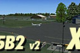
FSX Jasper County Airport Scenery
Jasper County Airport (KRZL) brings Rensselaer, Indiana to life with thoughtfully placed default objects, enhancing ramp detail and local atmosphere without straying from the stock look. Designed for FSX, it also adds the nearby county yard for a more complete view of the airport’s surroundings during taxi, pattern work, and approaches.

 United States of America
 - File: krzl.zip
- Size:899.73 KB
- Scan:
Clean (30d)

- Access:Freeware
- Content:Everyone
Jasper County Airport (KRZL), Rensselaer, Indiana (IN). Using default FSX objects to bring this airport alive for FSX. Includes county yard next to airport. By Jimmy R. Martin.
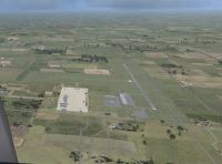
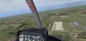
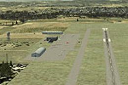
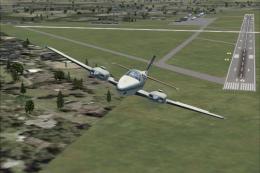
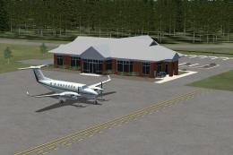
Aerial view of Jasper County Airport Scenery.
INSTRUCTIONS:
Simply put the scenery and texture folder into your ADDON SCENERY folder. Or another folder inside your addon scenery folder.
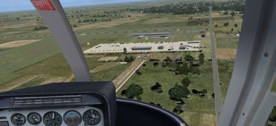
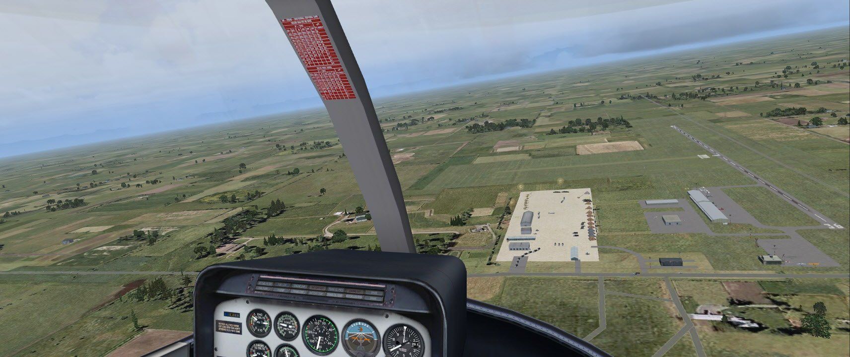
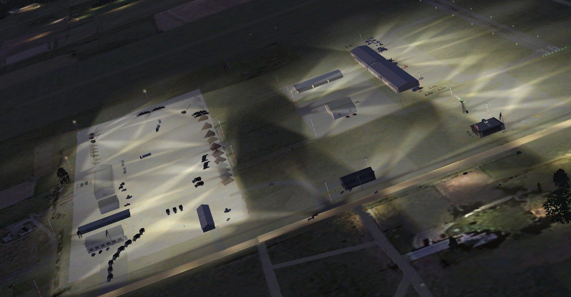
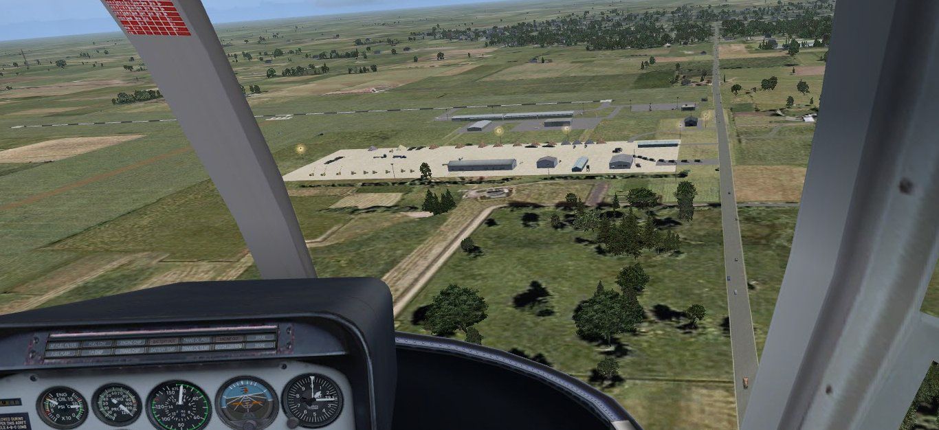
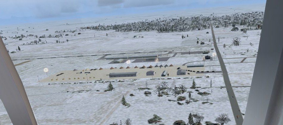
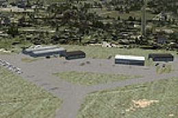
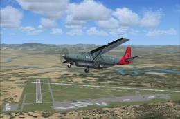
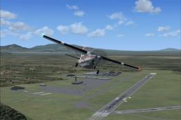
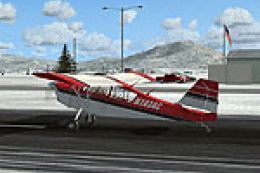
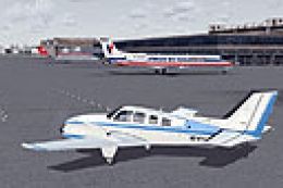
Screenshot of Jasper County Airport Scenery.
Images & Screenshots


Finding the Scenery
- FSX/Prepar3D Coordinates:
-
40.95000000,-87.18000000
Use the downloaded flight plan file by launching FSX/P3D, selecting "Load Flight Plan" in the flight planner, and choosing the .pln file. Your aircraft will be positioned directly at the add-on’s location. - Decimal Degrees (DD):
-
Latitude: 40.950000°
Longitude: -87.180000° - Degrees, Minutes, Seconds (DMS):
-
Latitude: 40° 57' 00.000" N
Longitude: 87° 10' 48.000" W
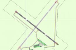
Map Location
The archive krzl.zip has 24 files and directories contained within it.
File Contents
This list displays the first 500 files in the package. If the package has more, you will need to download it to view them.
| Filename/Directory | File Date | File Size |
|---|---|---|
| 02149.gif | 01.07.11 | 3.72 kB |
| 02149.jpg | 01.07.11 | 3.96 kB |
| AirNav KRZL - Jasper County Airport.url | 01.07.11 | 123 B |
| Airport & FBO Info for KRZL JASPER COUNTY RENSSELAER IN.url | 01.07.11 | 138 B |
| file_id.diz | 01.07.11 | 157 B |
| INSTALLATION README.txt | 01.07.11 | 549 B |
| PS0101.jpg | 01.07.11 | 86.05 kB |
| PS0102.jpg | 01.07.11 | 163.96 kB |
| PS0103.jpg | 01.07.11 | 70.01 kB |
| PS0104.jpg | 01.07.11 | 219.09 kB |
| PS0105.jpg | 01.07.11 | 179.50 kB |
| RAMP LIGHT Acknowledgement ONLY.doc | 01.11.05 | 21.00 kB |
| scenery | 01.07.11 | 0 B |
| KRZL_ADEX_JRM.ad2.ad2 | 01.07.11 | 152.02 kB |
| KRZL_ADEX_JRM.BGL | 01.07.11 | 5.56 kB |
| KRZL_ADEX_JRM_CVX.bgl | 01.07.11 | 516 B |
| KRZL_objs_jRm.bgl | 01.07.11 | 7.42 kB |
| RampLight_Library.bgl | 01.11.05 | 30.63 kB |
| texture | 01.07.11 | 0 B |
| ESDG_ramp.BMP | 01.09.05 | 32.07 kB |
| ESDG_ramp_lm.BMP | 01.09.05 | 32.07 kB |
| KRZL | 01.07.11 | 0 B |
| flyawaysimulation.txt | 10.29.13 | 959 B |
| Go to Fly Away Simulation.url | 01.22.16 | 52 B |
Installation Instructions
Most of the freeware add-on aircraft and scenery packages in our file library come with easy installation instructions which you can read above in the file description. For further installation help, please see our Flight School for our full range of tutorials or view the README file contained within the download. If in doubt, you may also ask a question or view existing answers in our dedicated Q&A forum.

0 comments
Leave a Response