
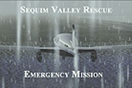
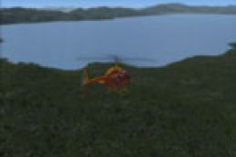
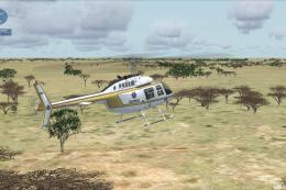
FSX White Mountains Rescue Mission
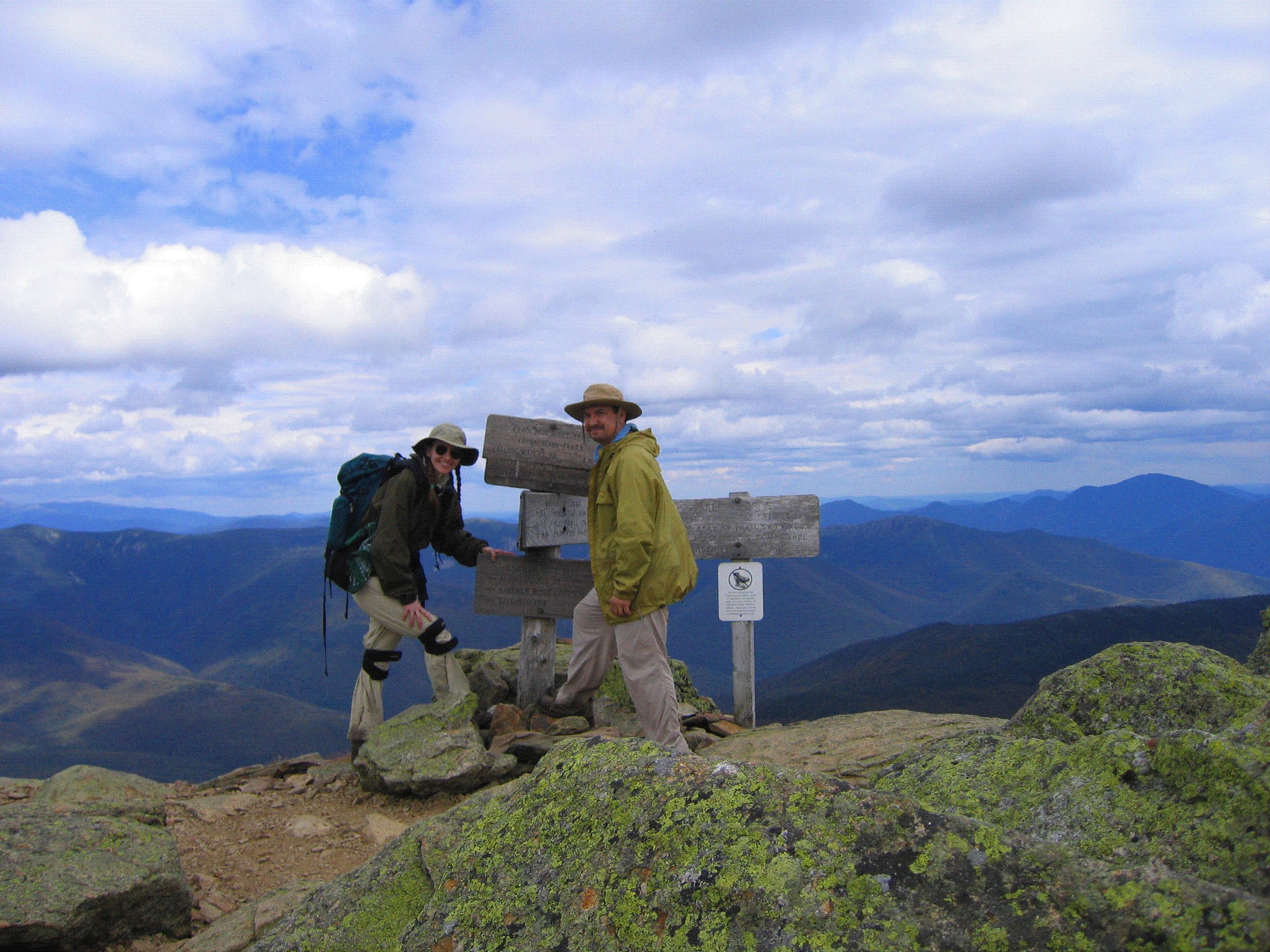
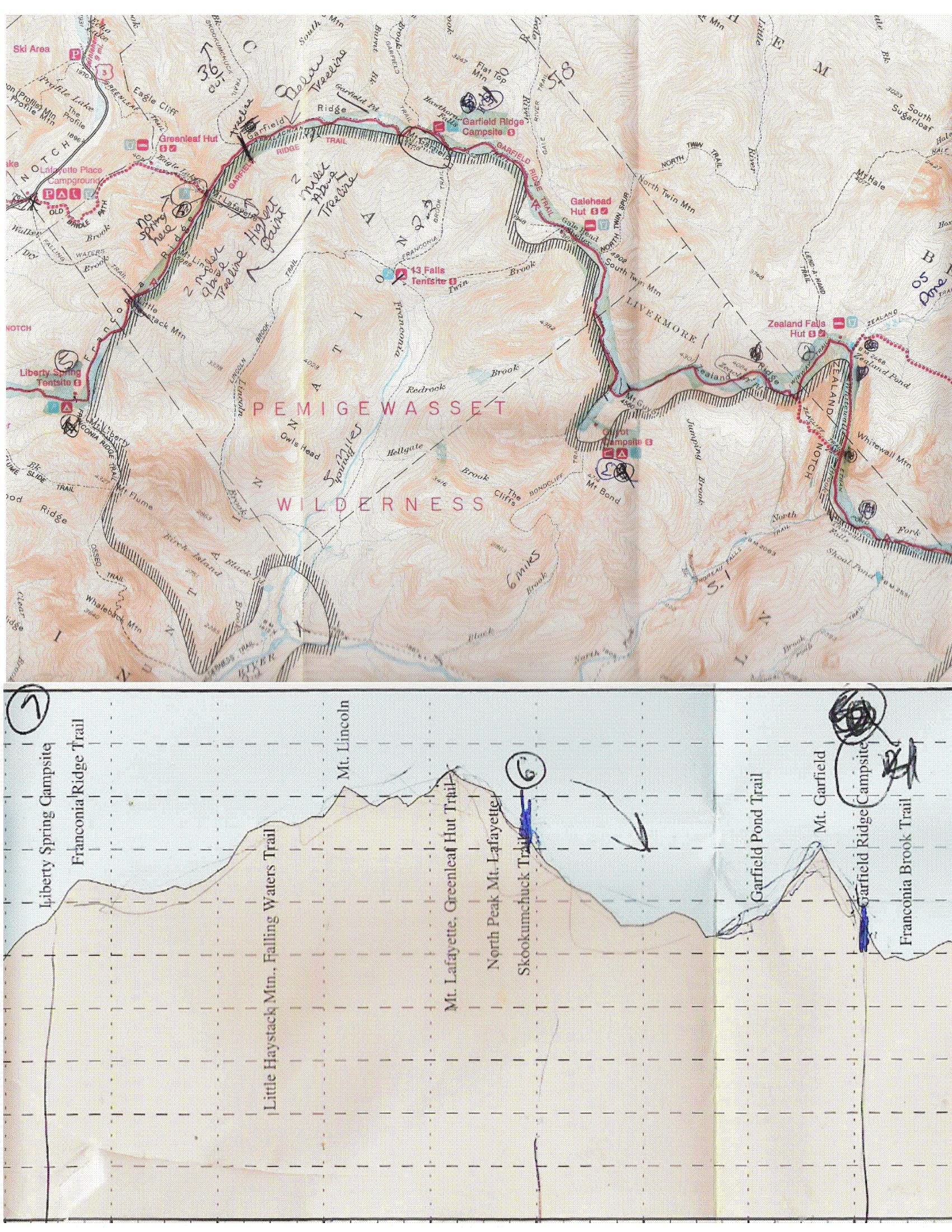
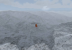
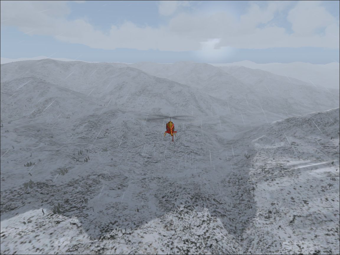
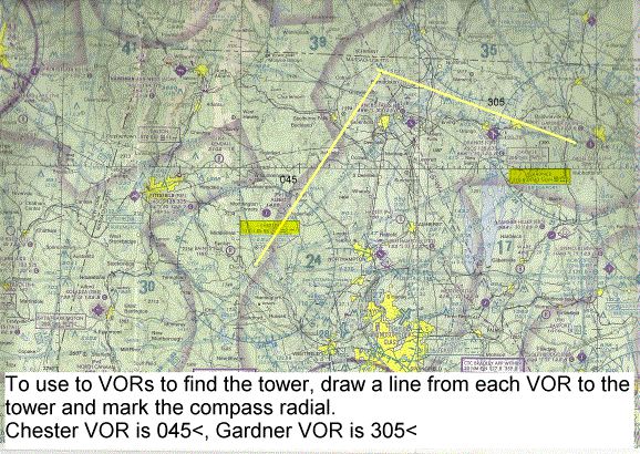
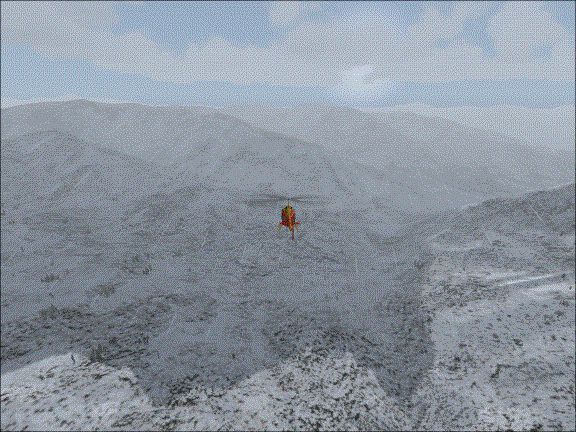
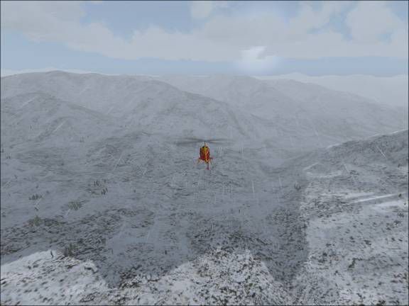
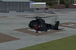
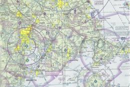
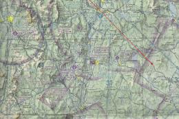
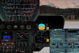
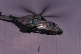
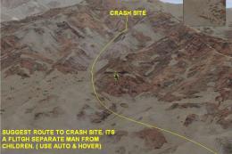
White Mountains Rescue Mission drops helicopter pilots into a winter search-and-rescue scenario over New Hampshire, tracking two lost hikers through a snowstorm using real-world sectional-chart skills. Built for FSX, it challenges expert navigation with VOR-based routing, precise hovering during the search, and a final hospital delivery under pressure.


 4/5
(3)
1.9K downloads
Flight Simulator X
4/5
(3)
1.9K downloads
Flight Simulator X  Prepar3D
- File: lostsnow.zip
- Size:22.73 MB
- Scan:
Clean (15d)
- Access:Freeware
- Content:Everyone
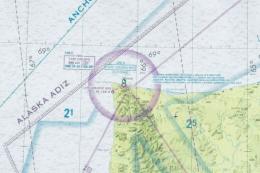
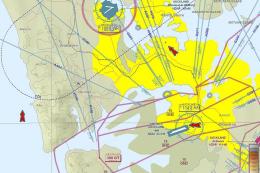
Images & Screenshots


The archive lostsnow.zip has 73 files and directories contained within it.
File Contents
This list displays the first 500 files in the package. If the package has more, you will need to download it to view them.
| Filename/Directory | File Date | File Size |
|---|---|---|
| Lost in the Snow | 04.23.07 | 0 B |
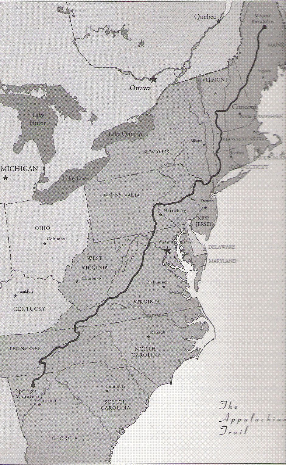
| AT Map.GIF | 03.20.07 | 916.45 kB |
| BGL | 04.23.07 | 0 B |
| Lafeyette cabin.bgl | 02.28.07 | 156 B |
| M3 Hiker 1.bgl | 02.19.07 | 89.54 kB |
| M3 Injured Hiker.bgl | 02.19.07 | 94.20 kB |
| M3 Rescue.bgl | 02.24.07 | 31.01 kB |
| Moultonburo.bgl | 02.24.07 | 307 B |
| Mountonboro Helipad.bgl | 02.24.07 | 156 B |
| Mt Lafeyette 2.bgl | 03.15.07 | 69.86 kB |
| Mt Lafeyette Range.bgl | 03.16.07 | 303 B |
| Mt Lafeyette.bgl | 03.15.07 | 69.62 kB |
| North Conway Hospital.bgl | 02.24.07 | 156 B |
| North Conway.bgl | 03.08.07 | 310 B |
| Chart.GIF | 03.20.07 | 1.60 MB |
| Lost in the Snow | 04.23.07 | 0 B |
| Lost.FLT | 04.12.07 | 8.40 kB |
| Lost.WX | 04.04.07 | 244.18 kB |
| LostInTheSnow.xml | 04.12.07 | 38.54 kB |
| M3_C.bmp | 02.20.07 | 87.15 kB |
| M3_I.bmp | 02.20.07 | 87.15 kB |
| Read Me.htm | 02.20.07 | 6.26 kB |
| Read Me_files | 04.23.07 | 0 B |
| filelist.xml | 02.20.07 | 230 B |
| image001.png | 02.20.07 | 1.11 MB |
| image002.jpg | 02.20.07 | 28.35 kB |
| oledata.mso | 02.20.07 | 2.79 MB |
| Sound | 04.23.07 | 0 B |
| Airborn.wav | 03.06.07 | 3.67 MB |
| At Hospital.bap | 04.05.07 | 110.31 kB |
| At Hospital.wav | 02.27.07 | 1.72 MB |
| Call in.bap | 04.05.07 | 384.26 kB |
| Call in.wav | 02.27.07 | 12.01 MB |
| door_small_close.wav | 05.12.06 | 55.99 kB |
| door_small_open.wav | 04.06.07 | 5.49 kB |
| Going down.wav | 04.06.07 | 34.33 kB |
| GreenLeaf Hut.wav | 04.06.07 | 154.90 kB |
| Hiker 1.wav | 04.06.07 | 884.07 kB |
| Hiker 2 Rescued.wav | 04.06.07 | 156.61 kB |
| Hiker 2 spotted.wav | 04.06.07 | 396.03 kB |
| Hiker 2 up.wav | 04.06.07 | 104.86 kB |
| Hover Here.wav | 04.06.07 | 65.82 kB |
| Introdution.wav | 04.06.07 | 282.81 kB |
| Move in as close as you can.wav | 04.06.07 | 112.71 kB |
| Out of time.wav | 02.27.07 | 1.94 MB |
| Pick up hiker 2.wav | 03.05.07 | 1.90 MB |
| Pickup 1.wav | 04.06.07 | 946.64 kB |
| Resuce 2 On Board.wav | 04.06.07 | 229.54 kB |
| Search South stay low.wav | 04.06.07 | 231.33 kB |
| Search.wav | 04.06.07 | 354.29 kB |
| siren.wav | 04.06.07 | 116.01 kB |
| Thats MtLafeyette south.wav | 04.06.07 | 110.58 kB |
| Thats MtLafeyette.wav | 04.06.07 | 329.60 kB |
| To Far away.wav | 04.06.07 | 47.03 kB |
| Mission Breifing.htm | 04.13.07 | 20.03 kB |
| Mission Breifing_files | 04.23.07 | 0 B |
| filelist.xml | 04.13.07 | 400 B |
| image001.gif | 04.13.07 | 176.40 kB |
| image002.gif | 04.13.07 | 94.52 kB |
| image003.gif | 04.13.07 | 458.82 kB |
| image004.gif | 04.13.07 | 9.17 kB |
| image005.gif | 04.13.07 | 1.13 MB |
| image006.gif | 04.13.07 | 20.36 kB |
| image007.gif | 04.13.07 | 1.42 MB |
| image008.gif | 04.13.07 | 108.14 kB |
| Texture | 04.23.07 | 0 B |
| Hiker.bmp | 02.19.07 | 65.05 kB |
| Rescue Truck.bmp | 01.28.07 | 65.05 kB |
| Rescue Truck_LM.bmp | 01.28.07 | 65.05 kB |
| sign.bmp | 03.15.07 | 65.05 kB |
| readme.txt | 04.13.07 | 1.33 kB |
| flyawaysimulation.txt | 10.29.13 | 959 B |
| Go to Fly Away Simulation.url | 01.22.16 | 52 B |
Installation Instructions
Most of the freeware add-on aircraft and scenery packages in our file library come with easy installation instructions which you can read above in the file description. For further installation help, please see our Flight School for our full range of tutorials or view the README file contained within the download. If in doubt, you may also ask a question or view existing answers in our dedicated Q&A forum.

0 comments
Leave a Response