FSX Make Photoreal Ground Textures Tutorial
Photoreal ground textures turn ordinary scenery into crisp, custom terrain with real aerial imagery in FSX. This tutorial breaks down the key concepts and walks through using SBuilderX to download high-resolution images, align them accurately, and compile them into usable scenery, with clear examples that make the workflow easy to repeat.
 Prepar3D
- File: mkprtx.zip
- Size:2.09 MB
- Scan:
Clean (12d)
- Access:Freeware
- Content:Everyone
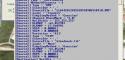
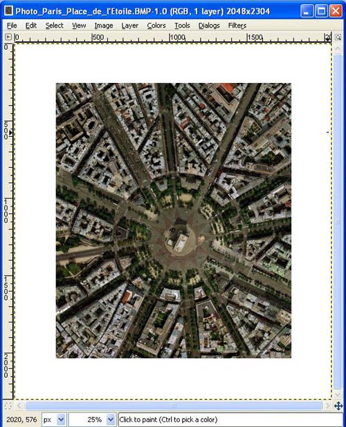
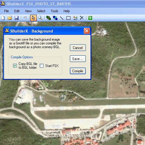
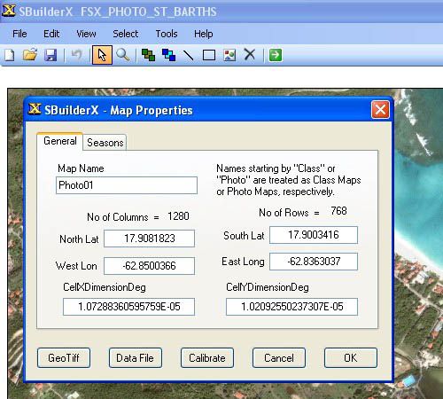
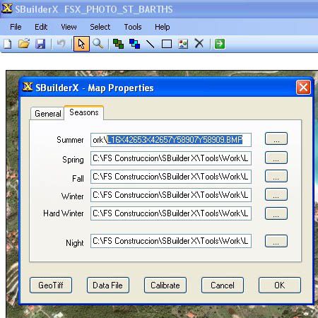
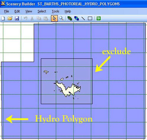
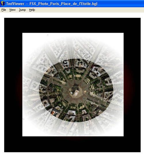
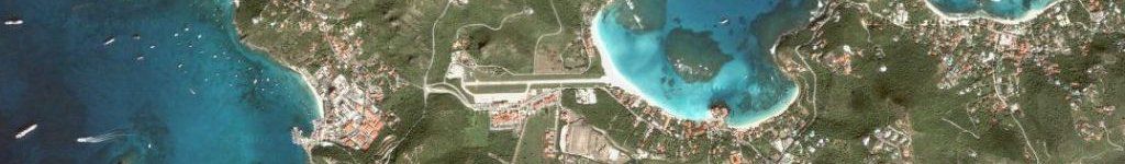
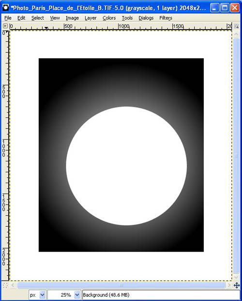
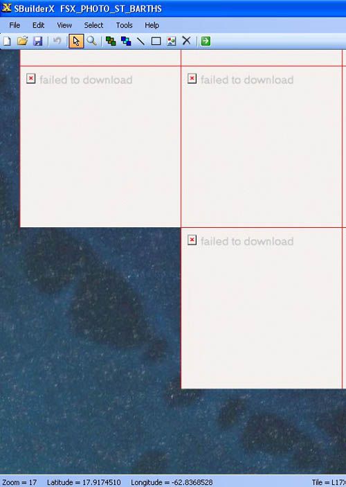
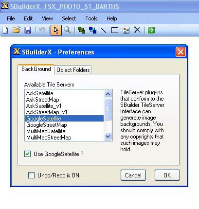
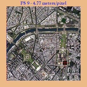
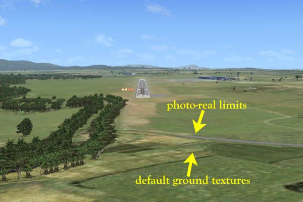
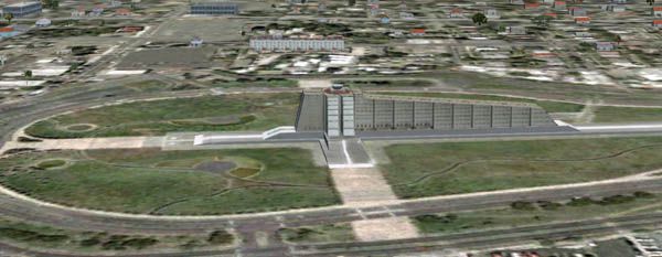
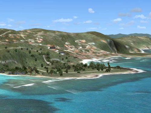
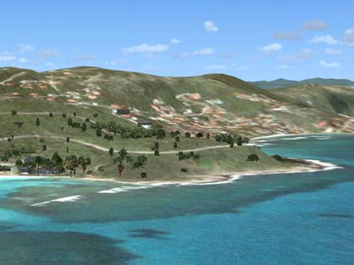
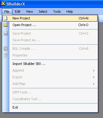
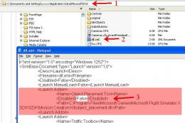
It is very easy to create your very own high-resolution, custom (photoreal) ground textures. This document explains the concepts and techniques and illustrates the use of SBuilderX with which you can quickly and easily download aerial images and make this type of scenery. By Luis Feliz-Tirado.

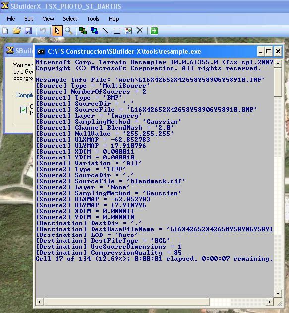
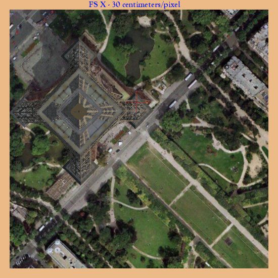
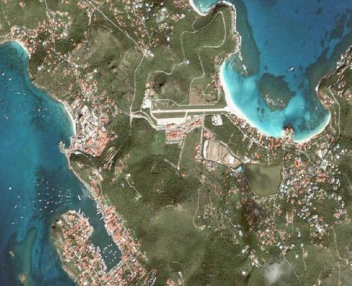
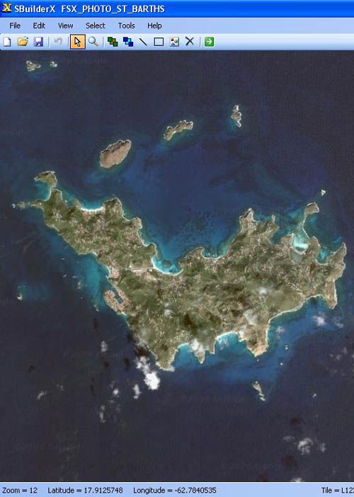
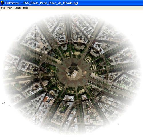
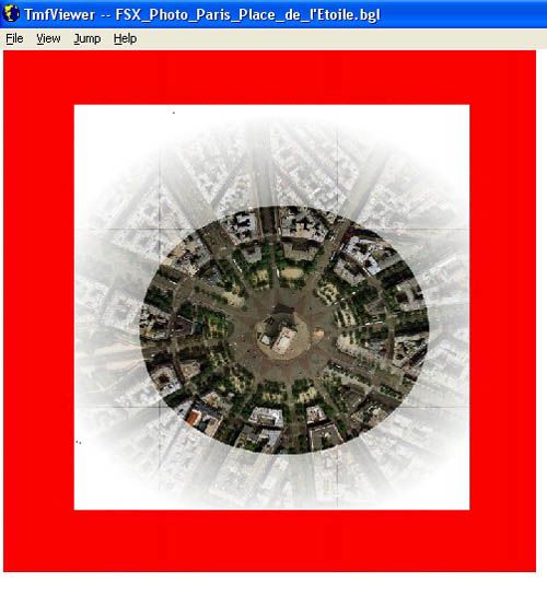
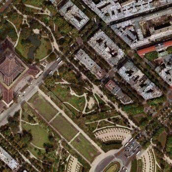
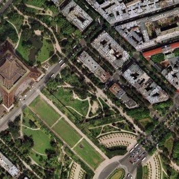
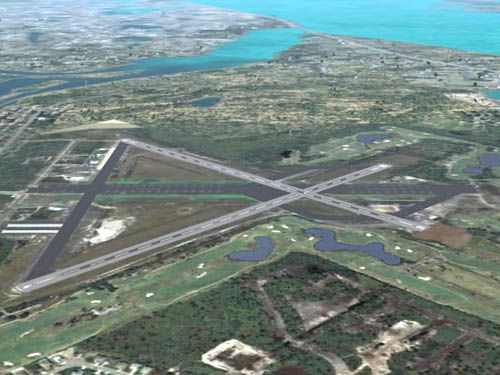
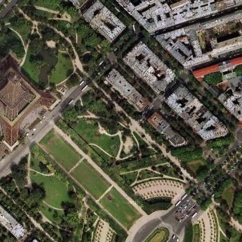
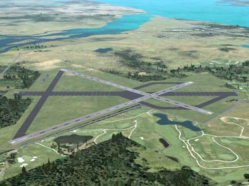
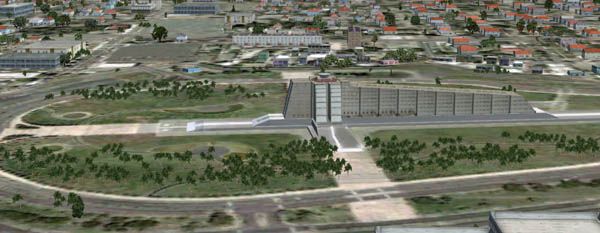
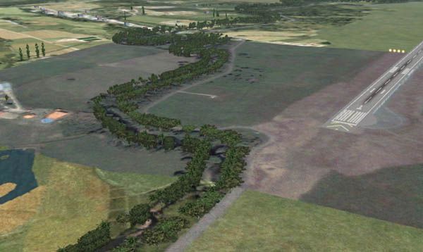
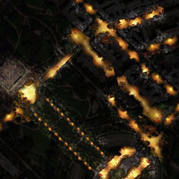
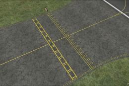
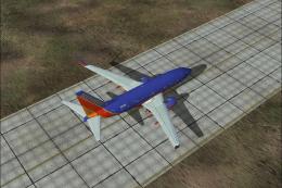
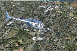
Example of photoreal ground textures.
Images & Screenshots


The archive mkprtx.zip has 51 files and directories contained within it.
File Contents
This list displays the first 500 files in the package. If the package has more, you will need to download it to view them.
| Filename/Directory | File Date | File Size |
|---|---|---|
| images | 11.17.07 | 0 B |
| background.jpg | 10.29.06 | 2.70 kB |
| banner_top.JPG | 10.29.07 | 43.69 kB |
| Fall.jpg | 11.17.07 | 45.52 kB |
| faro_autogen.JPG | 10.27.07 | 38.47 kB |
| faro_no_autogen.JPG | 10.27.07 | 35.18 kB |
| fs9_custom_ground.jpg | 10.24.07 | 40.73 kB |
| fsx_custom_ground.jpg | 10.24.07 | 76.54 kB |
| Hard_Winter.jpg | 11.17.07 | 66.64 kB |
| Higuero_correction.JPG | 10.27.07 | 36.84 kB |
| Higuero_no_correction.JPG | 05.02.07 | 36.83 kB |
| hydro_polygon_flatten_01.JPG | 10.28.07 | 56.02 kB |
| hydro_polygon_flatten_02.JPG | 10.28.07 | 57.91 kB |
| hydro_polygon_flatten_03.JPG | 10.28.07 | 32.23 kB |
| hydro_polygon_flatten_04.JPG | 10.29.07 | 59.62 kB |
| hydro_polygon_flatten_05.JPG | 10.28.07 | 31.71 kB |
| Night.jpg | 11.17.07 | 28.93 kB |
| null_value_blend_mask_01.JPG | 10.28.07 | 87.30 kB |
| null_value_blend_mask_02.JPG | 10.28.07 | 42.99 kB |
| null_value_blend_mask_03.JPG | 10.28.07 | 44.95 kB |
| null_value_blend_mask_04.JPG | 10.28.07 | 43.63 kB |
| null_value_blend_mask_05.JPG | 10.28.07 | 50.86 kB |
| null_value_blend_mask_06.JPG | 10.28.07 | 52.72 kB |
| SBuilderX_01.JPG | 11.14.07 | 24.14 kB |
| SBuilderX_02.JPG | 11.14.07 | 38.09 kB |
| SBuilderX_03.JPG | 11.14.07 | 36.80 kB |
| SBuilderX_04.JPG | 11.14.07 | 45.16 kB |
| SBuilderX_05.JPG | 11.14.07 | 53.48 kB |
| SBuilderX_06.JPG | 11.14.07 | 42.37 kB |
| SBuilderX_07.JPG | 11.14.07 | 63.68 kB |
| SBuilderX_08.JPG | 11.14.07 | 65.18 kB |
| SBuilderX_09.JPG | 11.14.07 | 112.95 kB |
| SBuilderX_10.JPG | 11.14.07 | 61.25 kB |
| SBuilderX_11.JPG | 11.14.07 | 87.79 kB |
| SBuilderX_12.JPG | 11.14.07 | 62.48 kB |
| SBuilderX_13.JPG | 11.14.07 | 60.77 kB |
| SBuilderX_14.JPG | 11.14.07 | 54.74 kB |
| Spring.jpg | 11.17.07 | 45.44 kB |
| Summer.jpg | 11.14.07 | 38.92 kB |
| Winter.jpg | 11.17.07 | 45.08 kB |
| x26_blend.JPG | 10.29.07 | 36.55 kB |
| x26_custom_final.JPG | 10.27.07 | 46.48 kB |
| x26_fsx_default.JPG | 10.27.07 | 45.48 kB |
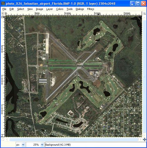
| x26_source1.jpg | 10.27.07 | 82.94 kB |
| x26_tmfviewer.JPG | 10.29.07 | 66.38 kB |
| x26_water.JPG | 10.27.07 | 34.14 kB |
| Make_photo-real_ground_textures_in_FS_X.html | 11.17.07 | 86.60 kB |
| notes.txt | 11.17.07 | 574 B |
| Make_photo-real_ground_textures_in_FS_X | 11.17.07 | 0 B |
| flyawaysimulation.txt | 10.29.13 | 959 B |
| Go to Fly Away Simulation.url | 01.22.16 | 52 B |
Installation Instructions
Most of the freeware add-on aircraft and scenery packages in our file library come with easy installation instructions which you can read above in the file description. For further installation help, please see our Flight School for our full range of tutorials or view the README file contained within the download. If in doubt, you may also ask a question or view existing answers in our dedicated Q&A forum.


0 comments
Leave a Response