FSX LakeSide Dirt Strip Scenery
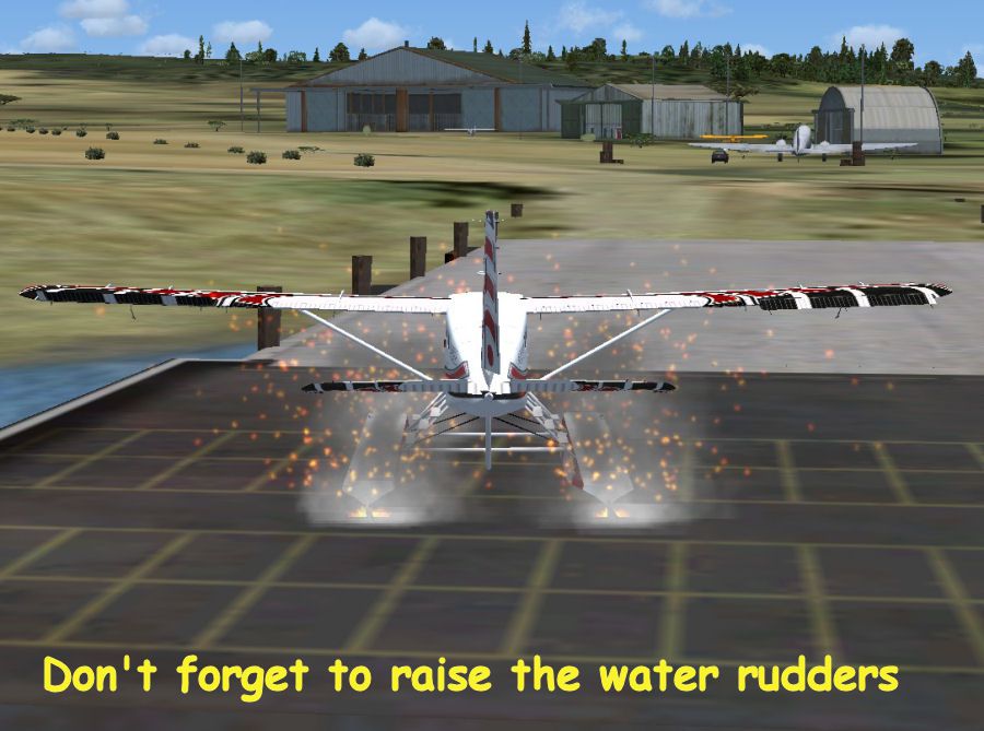
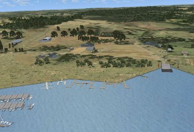
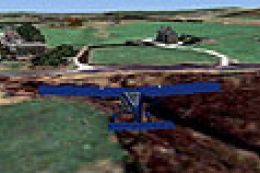
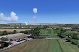
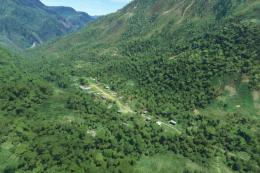
LakeSide Dirt Strip brings a fictitious Central Texas lakeside base to life in FSX, built for floatplanes with a ramp for amphibious aircraft. Dirt roads near the water and a lit northwest strip invite short-field STOL practice and after-dark approaches, while open hangars and scrub-brush taxi areas keep the atmosphere authentically rough and remote.


 United States of America
 - File: bslkdrt.zip
- Size:965.83 KB
- Scan:
Clean (25d)

- Access:Freeware
- Content:Everyone
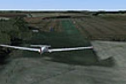
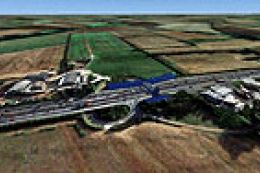
LakeSide Dirt Strip. This is a fictitious airbase located in central Texas with easy access to several major airports. (Austin, Dallas, San Antonio, Houston to name a few). With no actual runways this scenery is designed for float planes and has a ramp to accommodate amphibious aircraft. However, both dirt roads by the ramp area have been used for landing when no one was watching. By Bob Smith.
LakeSide Dirt Strip Scenery.
From 89TX fly 300 degrees for a couple miles across the lake.
This is a fictitious airbase located in Central Texas with easy access to several major airports. (Austin, Dallas, San Antonio, Houston to name a few).
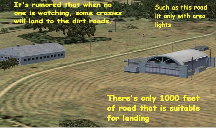
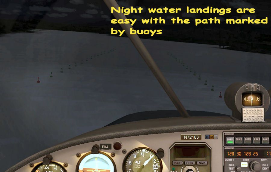
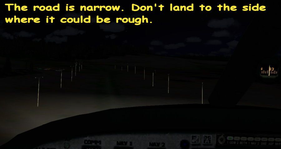
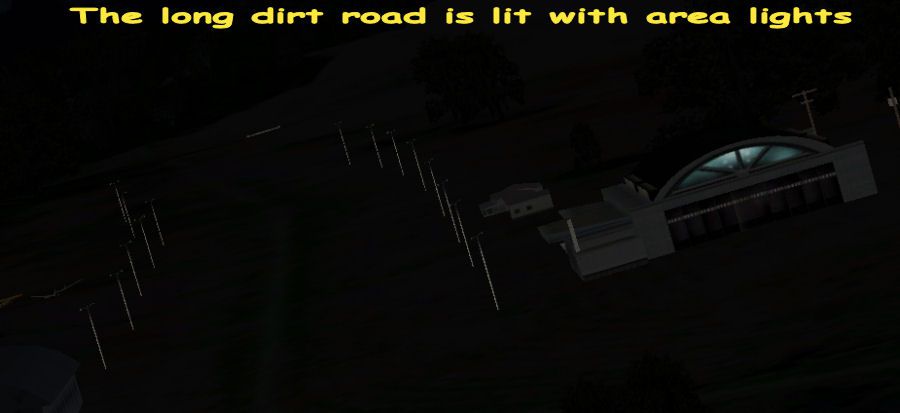
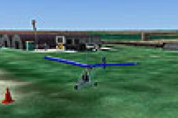
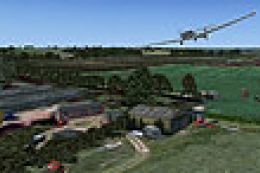
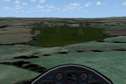
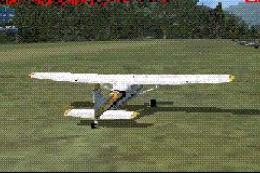
With no actual runways this scenery is designed for Float Planes and has a ramp to accommodate Amphibious aircraft. **HOWEVER**, both dirt roads by the ramp area have been used for landing when no one was watching. You have to be careful though, the roads are short. On the NW side of area there is another dirt road with large area lights on both sides so illegal night landings are easy. There is about 1000 feet of usable road to land on before the road slopes up-hill too much for landing so bring your Tundra tires on your STOL aircraft. Landing on that dirt road, regardless of wind, should be approximately 335 degrees. Take-off should be on a 155 degree heading. Landing 155 degrees or taking off 335 degrees could get exciting.
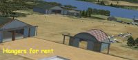
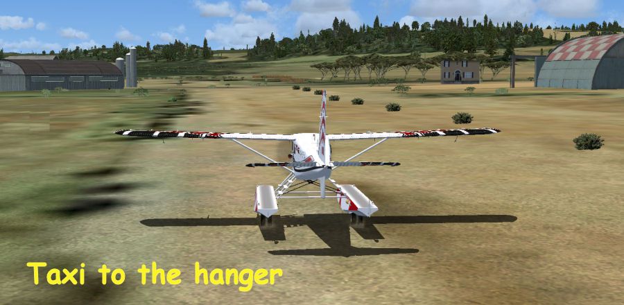
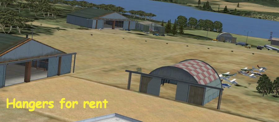
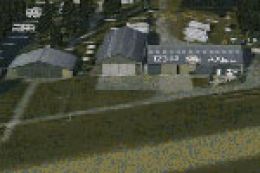
Only a couple hangers are occupied so jump in and set up shop in any of the vacant hangers.
This scenery was created with the included FSX Deluxe Object Placement Tool on FSX default texture and mesh. No flattening or excludes were used so taxi around the scrub brush. This scenery is FSX only and it's free. If you don't like it, delete it. :)
Installation:
Simply unzip the *.bgl file(s) into the Addon Scenery/scenery folder.
Uninstall:
Remove the file(s) from the Addon Scenery/scenery folder.
These files are distributed as FREEWARE.
DISCLAIMER: Scenery has been tested solely with FSX. Varying results might occur with FSX configuration other than FSX default mesh and textures.
Bob Smith.
LakeSide Dirt Strip Scenery.
Images & Screenshots


Finding the Scenery
- FSX/Prepar3D Coordinates:
-
30.30000000,-97.80000000
Use the downloaded flight plan file by launching FSX/P3D, selecting "Load Flight Plan" in the flight planner, and choosing the .pln file. Your aircraft will be positioned directly at the add-on’s location. - Decimal Degrees (DD):
-
Latitude: 30.300000°
Longitude: -97.800000° - Degrees, Minutes, Seconds (DMS):
-
Latitude: 30° 18' 00.000" N
Longitude: 97° 47' 60.000" W
Map Location
The archive bslkdrt.zip has 16 files and directories contained within it.
File Contents
This list displays the first 500 files in the package. If the package has more, you will need to download it to view them.
| Filename/Directory | File Date | File Size |
|---|---|---|
| bs_buoys.jpg | 01.23.08 | 78.12 kB |
| bs_dirt_road.jpg | 01.23.08 | 129.17 kB |
| bs_hanger_at_night.jpg | 01.23.08 | 78.35 kB |
| bs_hangers_4_rent.jpg | 01.23.08 | 74.86 kB |
| bs_lakeside_overview.jpg | 01.23.08 | 99.52 kB |
| bs_lsd1.gif | 01.23.08 | 10.99 kB |
| bs_lsd-9.BGL | 01.17.08 | 14.71 kB |
| bs_night-02.jpg | 01.23.08 | 42.93 kB |
| bs_night_dirt_road.jpg | 01.23.08 | 30.61 kB |
| bs_taxi_01.jpg | 01.23.08 | 87.86 kB |
| bs_taxi_02.jpg | 01.23.08 | 105.69 kB |
| bs_taxi_03.jpg | 01.23.08 | 83.96 kB |
| bs_water_landing.jpg | 01.23.08 | 154.73 kB |
| ReadMe.txt | 01.23.08 | 1.99 kB |
| flyawaysimulation.txt | 10.29.13 | 959 B |
| Go to Fly Away Simulation.url | 01.22.16 | 52 B |
Installation Instructions
Most of the freeware add-on aircraft and scenery packages in our file library come with easy installation instructions which you can read above in the file description. For further installation help, please see our Flight School for our full range of tutorials or view the README file contained within the download. If in doubt, you may also ask a question or view existing answers in our dedicated Q&A forum.

0 comments
Leave a Response