FSX V1.5 Lambert St. Louis International Scenery
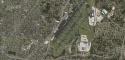
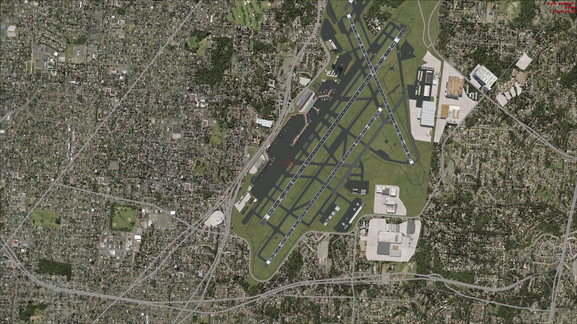
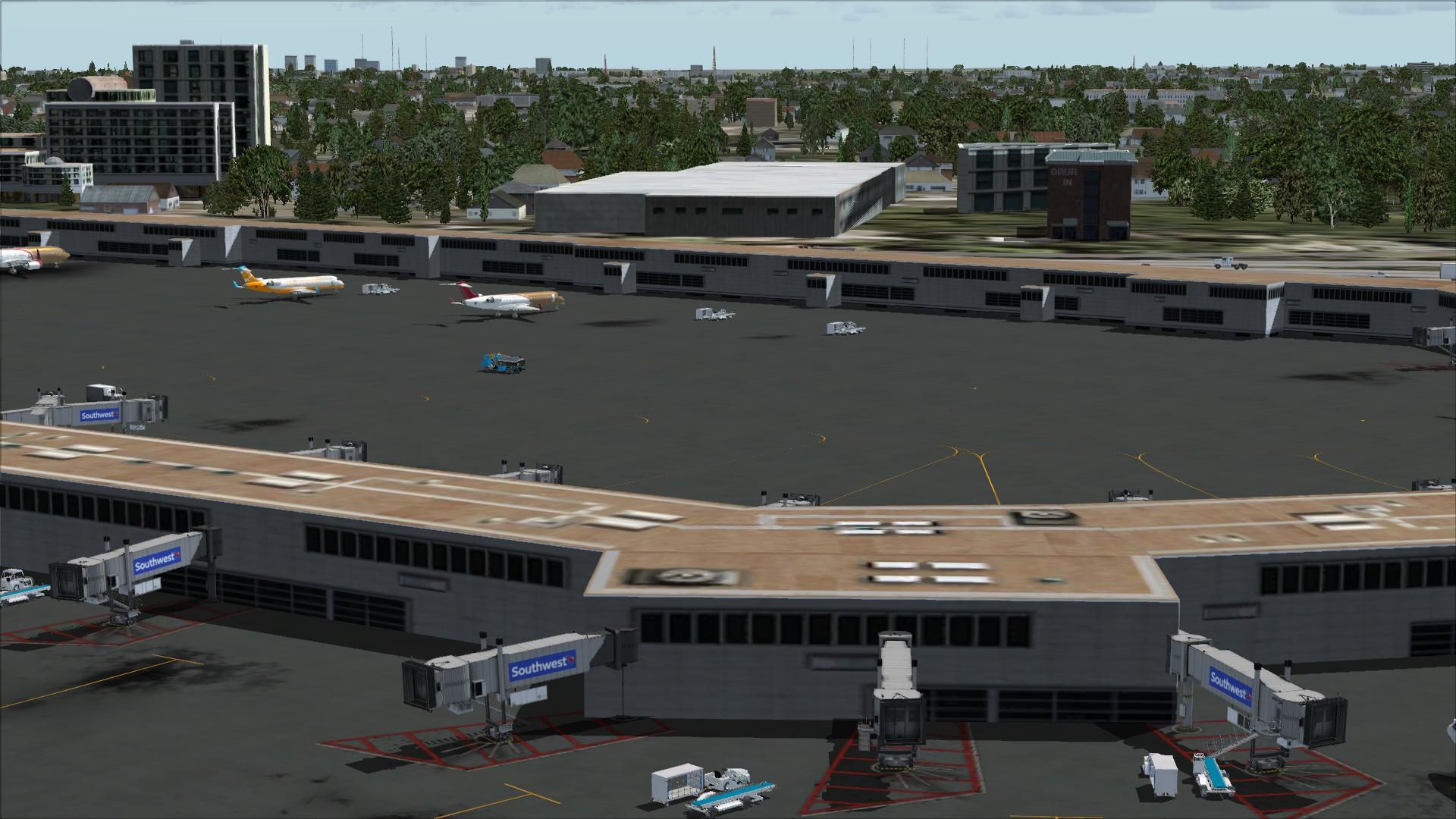
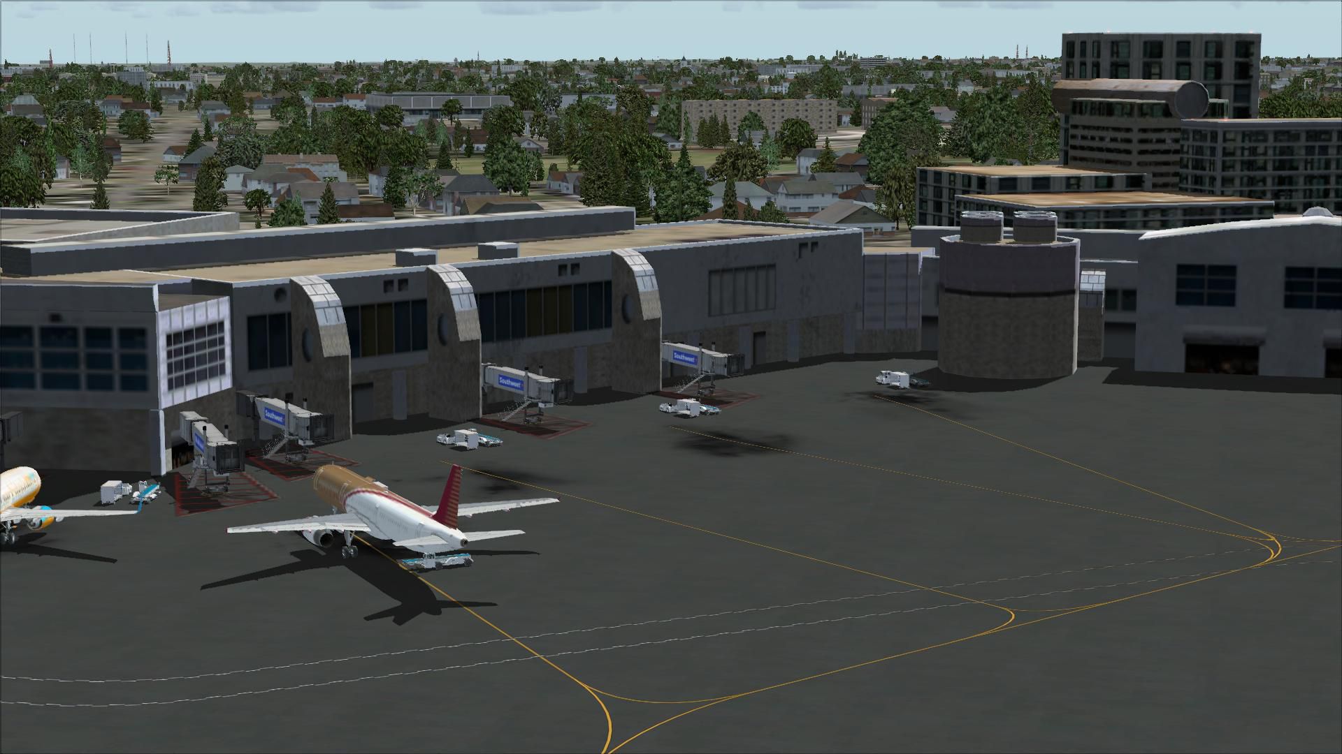
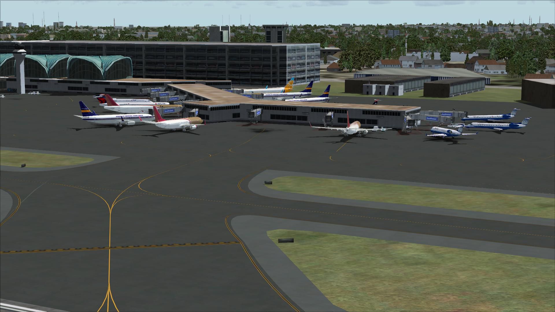
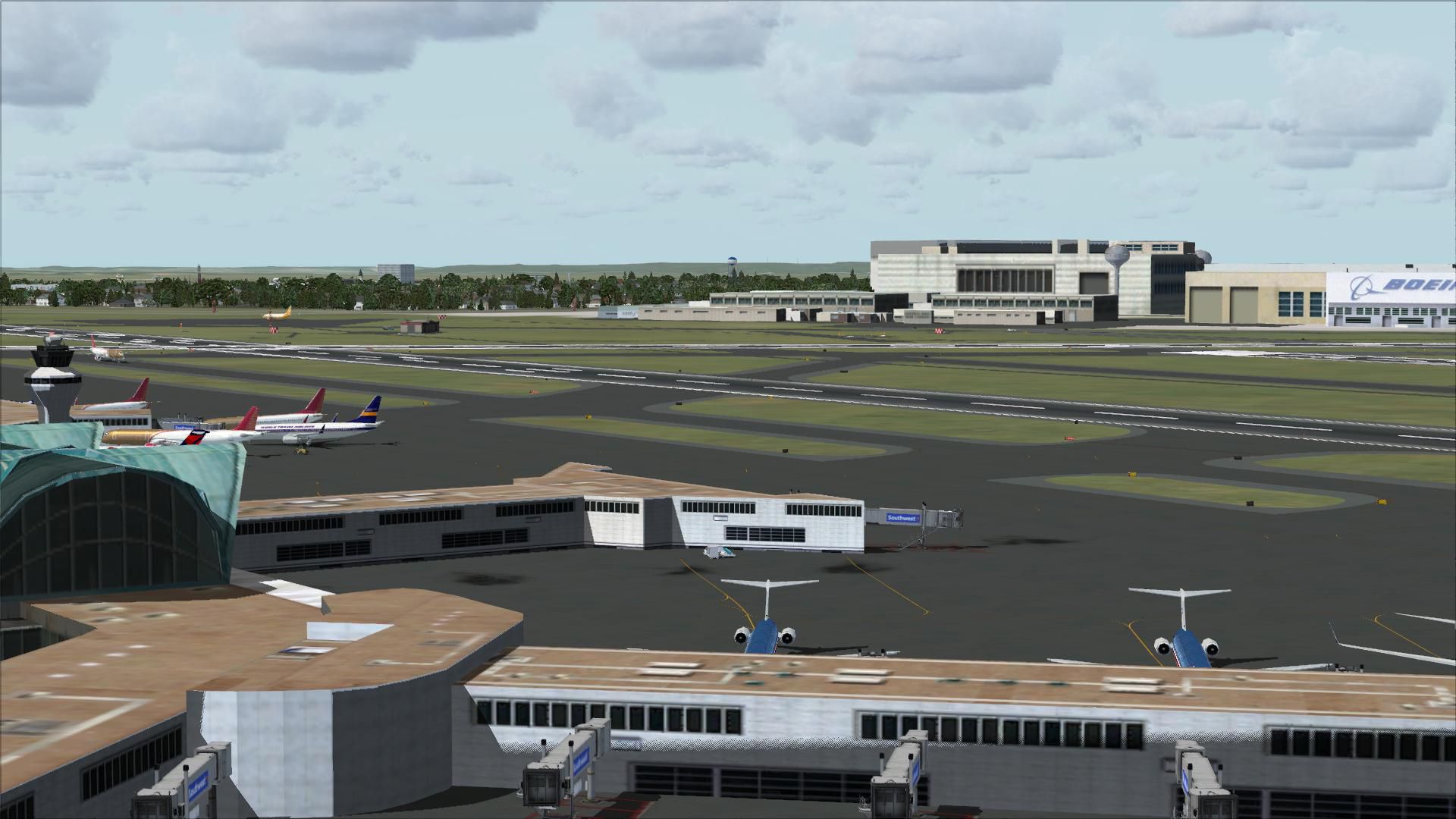
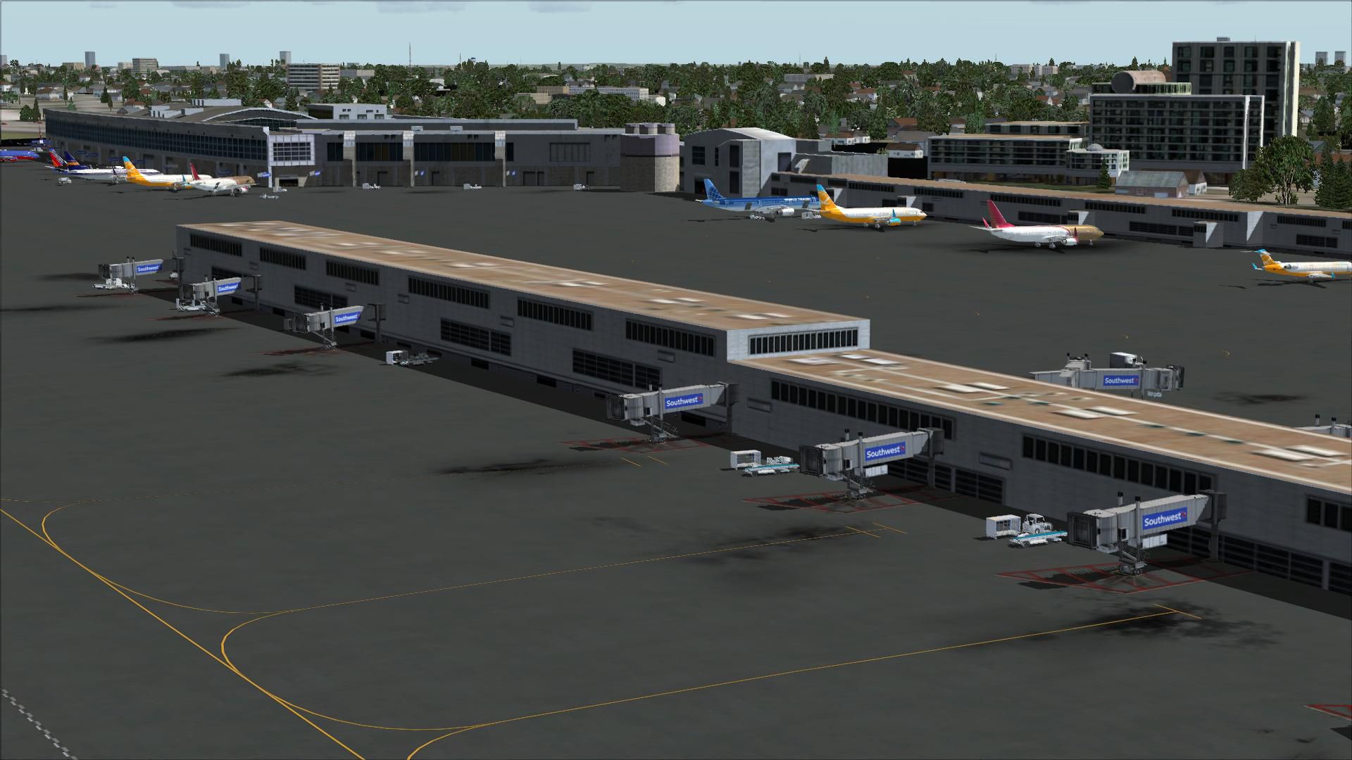
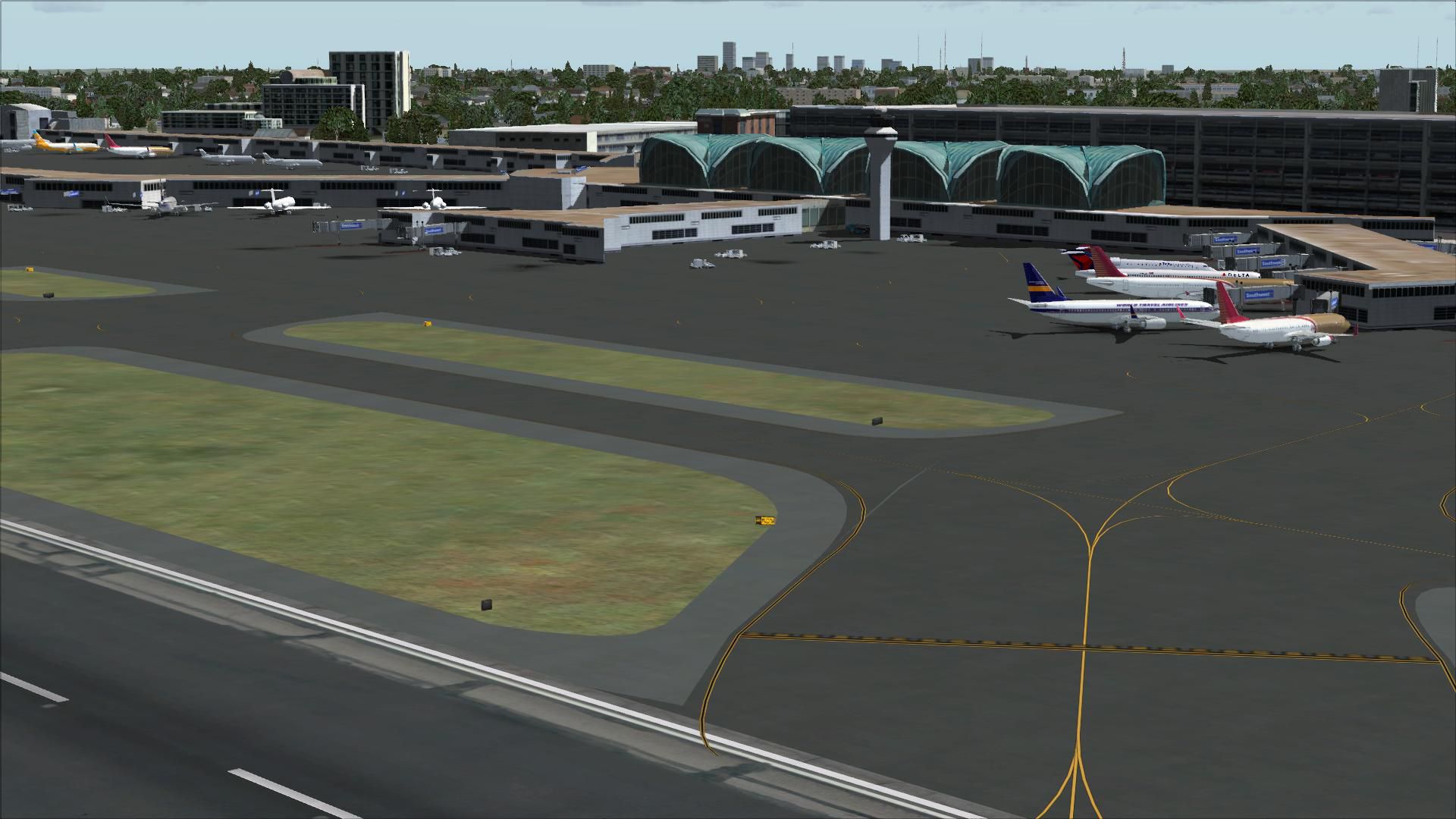
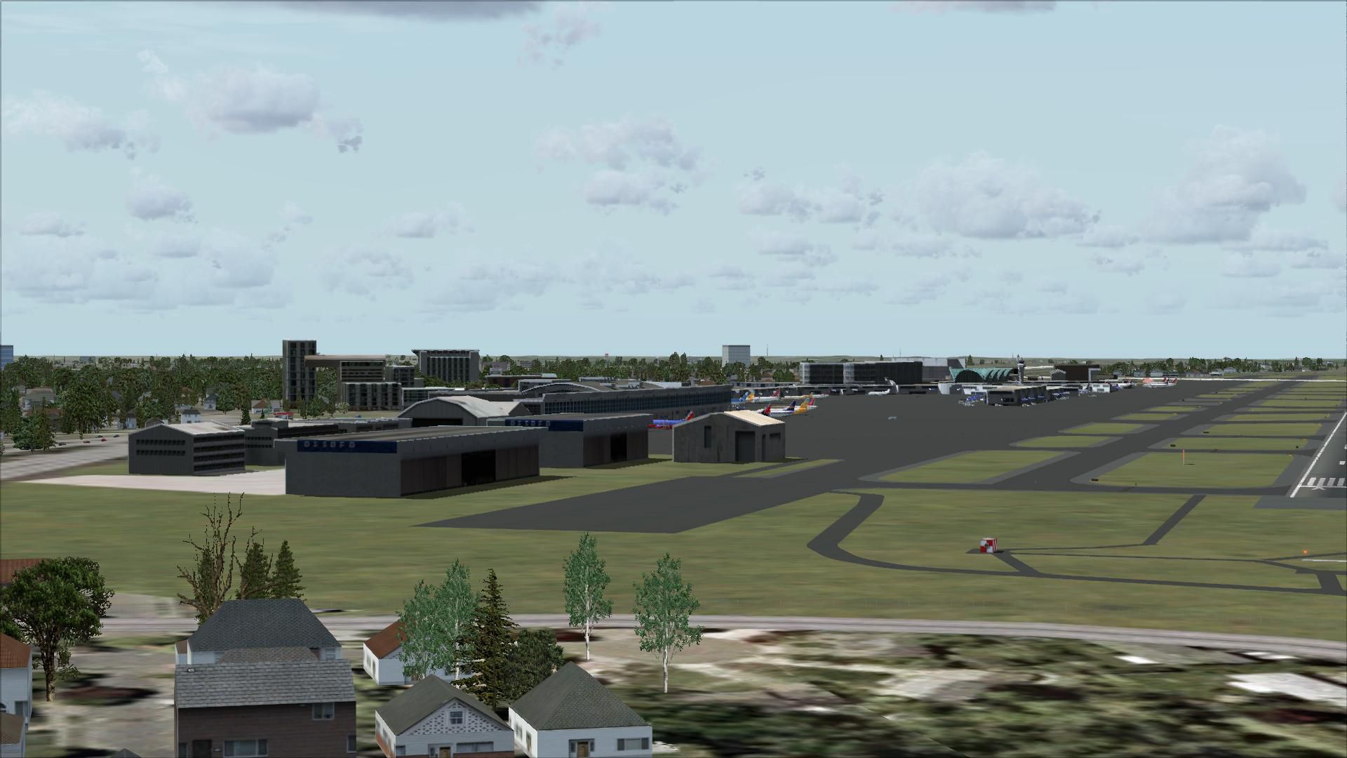
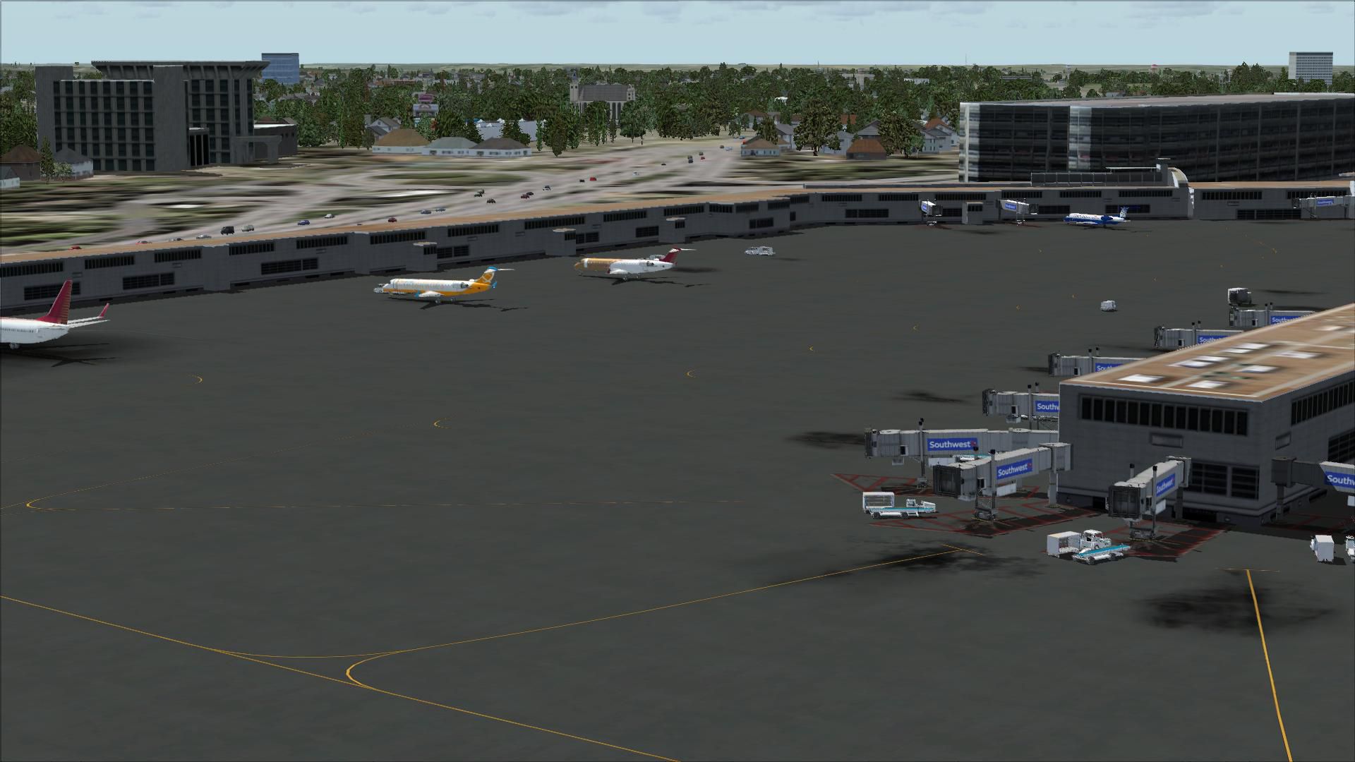
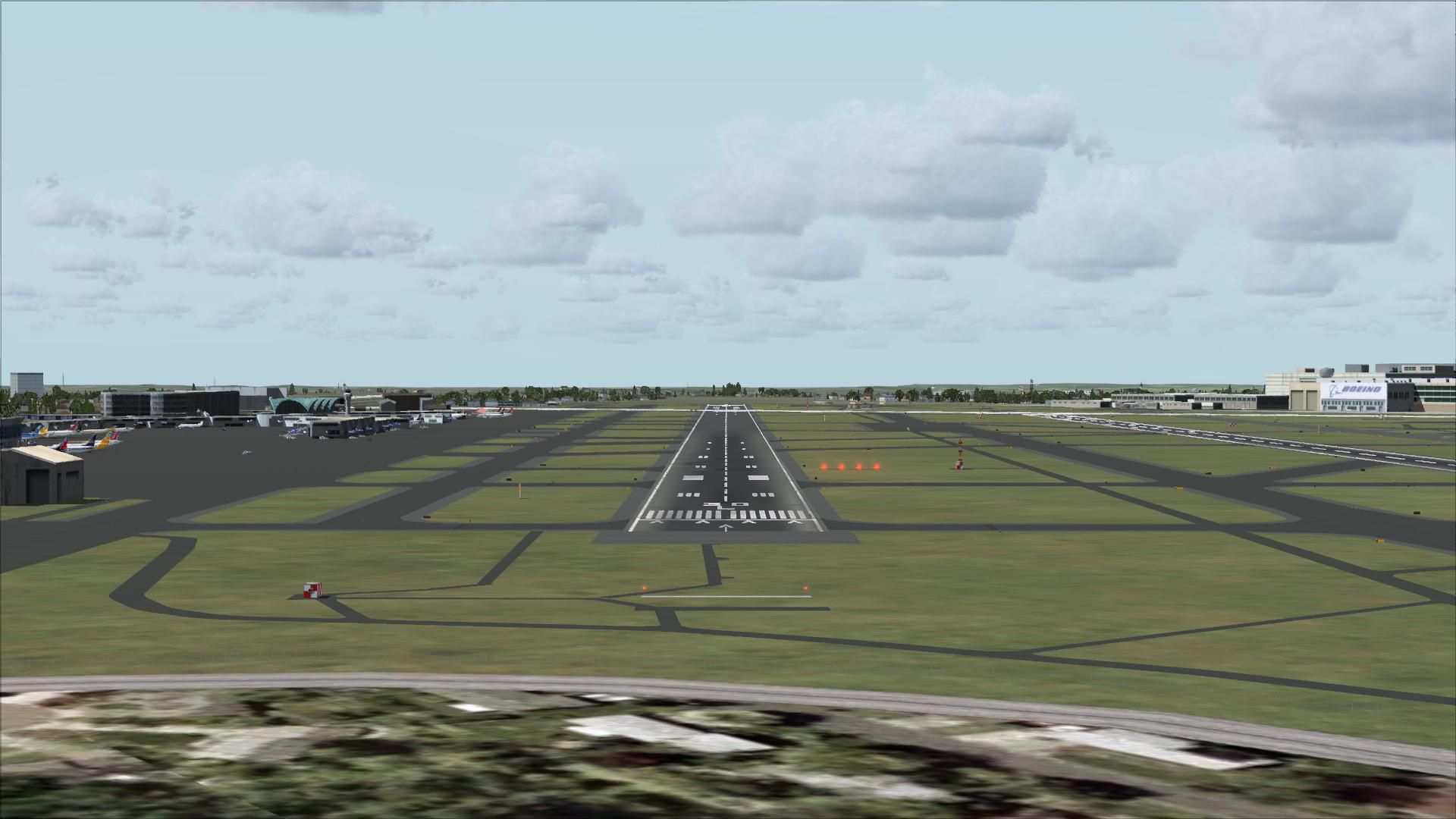
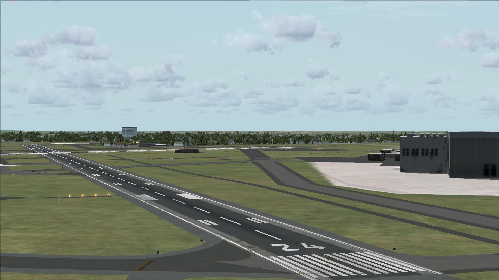
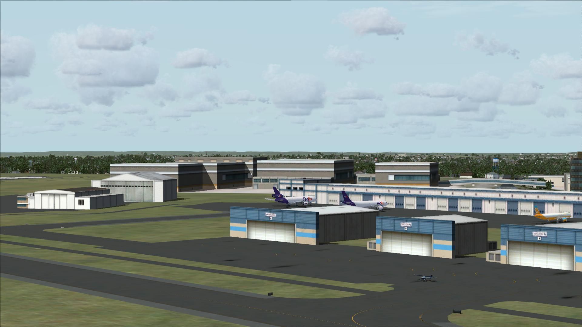
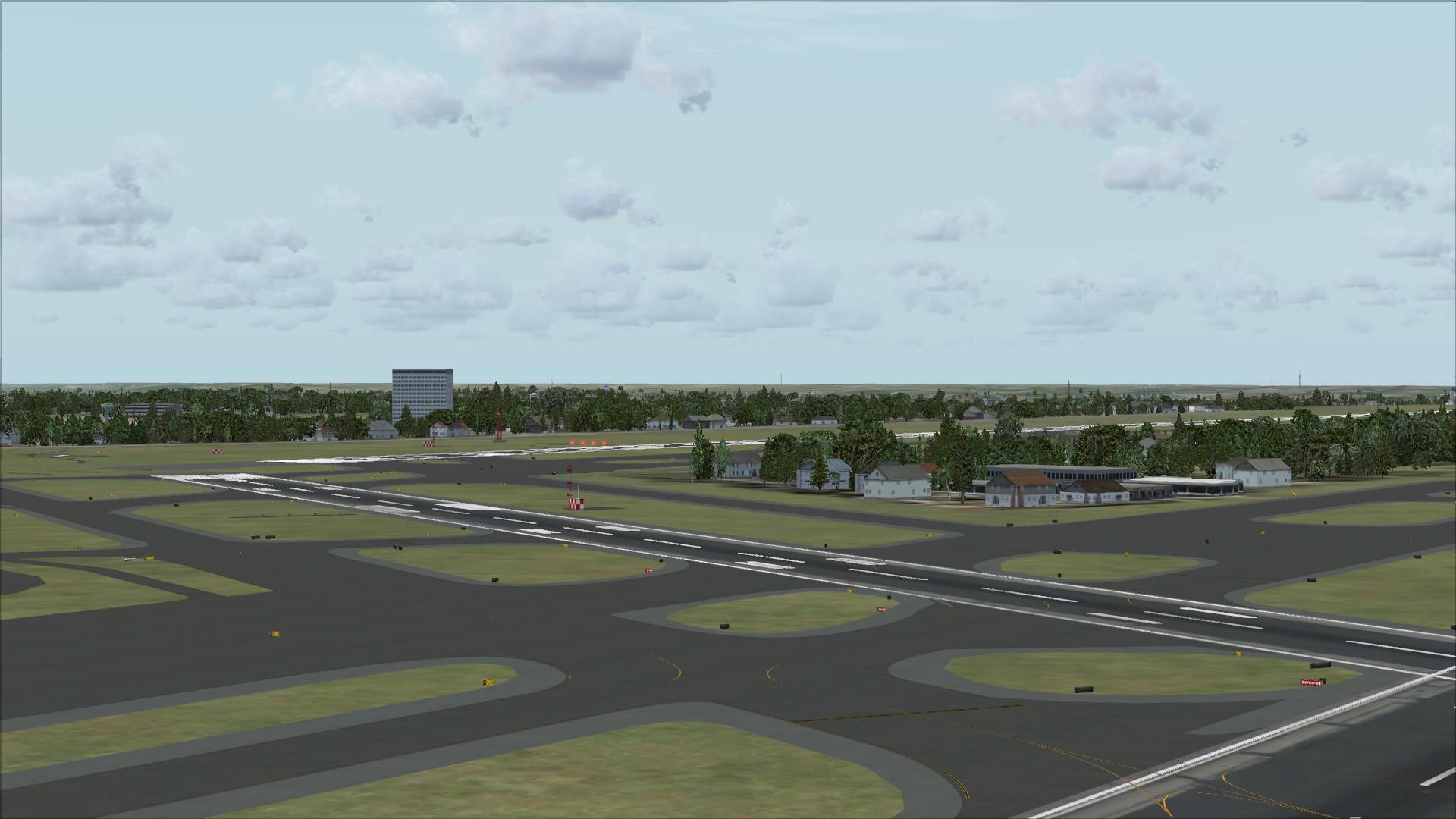
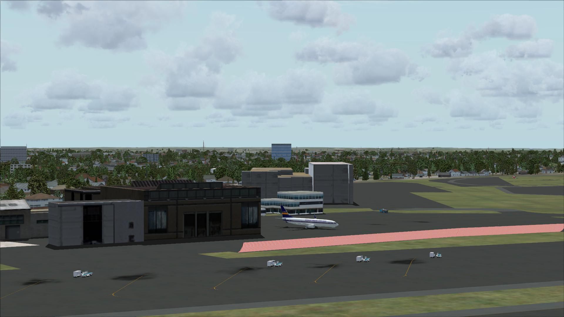
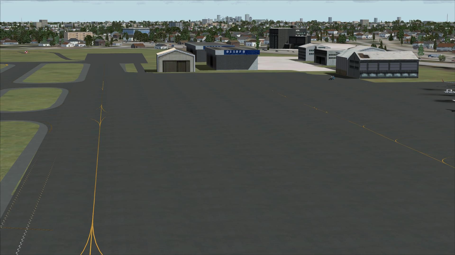
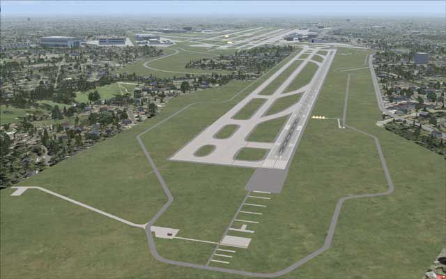
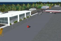
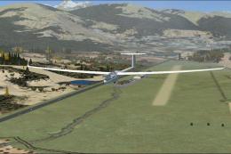
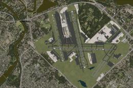
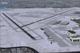
Lambert–St. Louis International Airport (KSTL) for FSX updates the field to its 2008 layout, including runway 11/29, refreshed taxiway markings, realistic PAPI and VASI placement, expanded parking, and improved ground vehicle routing. It also corrects ILS and LDA approach data, with tuned procedures and navaid adjustments for more accurate arrivals.

 United States of America
 - File: kstl_v15.zip
- Size:4.56 MB
- Scan:
Clean (17d)

- Access:Freeware
- Content:Everyone
Lambert St. Louis International (KSTL), Missouri (MO). This is version 1.5 of an airport scenery of Lambert-St. Louis International Airport. This scenery brings KSTL up to its 2008 configuration, in terms of navaid changes and of course the new runway 11/29 which existed in the earlier versions of this scenery as well. This version also fixes the approach to runway 30L, which in default FSX had incorrect freqencies assigned. Both visual and non-visual parts of this scenery have been updated. By Rhett Browning.

Lambert St. Louis International Scenery.
CHANGES/ADDITIONS, v1.5
-- fixed and adjusted LDA RWY 30L Approach
-- FSX Map View was displaying incorrect ILS info for runway 30L. This has been fixed.
-- tweaked the runway 11/29 approaches which I had added in v1.1
-- adjusted the new runway 11/29 based on new satellite photos
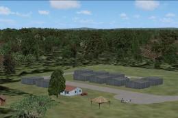
-- added more asphalt skirting as per the real KSTL
-- fixed taxiway designation at twy A6
-- tweaked VASI/PAPI positions to match reality
-- added concrete and asphalt highlights as per real airport
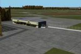
-- more vehicle paths to match real thing
-- added TeeOffsets, which I mistakenly omitted previously
-- added more overflow parking
-- can now park up to A380 if you have one (none fly there in real life, nor are expected to)
-- reworked approach code on several of the approaches to match current (2008) data
INSTALLATION
Installation is as with any airport scenery:
1. If you have older versions of my KSTL installed, please delete those files first.
2. Install the files to any folder of your choice, such as \Addon Scenery\KSTL\scenery.
3. Activate in scenery library.
APPROACHES
Between the time FSX navigational data was prepared (2004-05), and today (2008), there have been some changes to the approaches and navaids at KSTL. I have brought all of the approaches and navaids up to their current configuration. Also in the default airport, an incorrect frequency showed in FSX Map View navaid display window regarding runway 30L's ILS. This has ben fixed. With my scenery you can now fly all of the published approaches into KSTL and they will be in your GPS database. They should also match the Navigraph or other FMS data if you use that data. I have done quite a bit of testing with all of the approaches using both the PMDG MD-11 and also the default Cessna. Even so, if you find something wrong with any of the approaches I would like to know about it.
VERSION HISTORY
January 2007 v1.0 first release (had the new runway but no approach data for it)
March 2007 v1.1 test version for approaches, not released
April 2007 v1.2 another test ver, never released
August 2007 v1.3 second release, added all approaches for rwy 11/29
August 2008 v1.4 yet another test ver, not released
November 2008 v1.5 third release, minor tweaks, fixes, etc., new LDA 30L approach, removed LDA 12L approach
Rhett Browning
Images & Screenshots


Finding the Scenery
- FSX/Prepar3D Coordinates:
-
38.74870000,-90.37000000
Use the downloaded flight plan file by launching FSX/P3D, selecting "Load Flight Plan" in the flight planner, and choosing the .pln file. Your aircraft will be positioned directly at the add-on’s location. - Decimal Degrees (DD):
-
Latitude: 38.748700°
Longitude: -90.370000° - Degrees, Minutes, Seconds (DMS):
-
Latitude: 38° 44' 55.320" N
Longitude: 90° 22' 12.000" W
Map Location
The archive kstl_v15.zip has 32 files and directories contained within it.
File Contents
This list displays the first 500 files in the package. If the package has more, you will need to download it to view them.
| Filename/Directory | File Date | File Size |
|---|---|---|
| KSTL_ADE_RB.BGL | 10.12.08 | 171.28 kB |
| KSTL_CVX_RB.BGL | 09.21.08 | 1.24 kB |
| KSTL01.gif | 11.09.08 | 10.16 kB |
| KSTL01.jpg | 11.09.08 | 28.42 kB |
| KSTL_readme.txt | 11.09.08 | 3.25 kB |
| flyawaysimulation.txt | 10.29.13 | 959 B |
| Go to Fly Away Simulation.url | 01.22.16 | 52 B |
| Screenshots | 08.28.19 | 0 B |
| screen-1.jpg | 08.27.19 | 164.98 kB |
| screen-10.jpg | 08.27.19 | 168.79 kB |
| screen-11.jpg | 08.27.19 | 160.74 kB |
| screen-12.jpg | 08.27.19 | 157.46 kB |
| screen-13.jpg | 08.27.19 | 209.07 kB |
| screen-14.jpg | 08.27.19 | 193.82 kB |
| screen-15.jpg | 08.27.19 | 200.74 kB |
| screen-16.jpg | 08.27.19 | 240.54 kB |
| screen-17.jpg | 08.27.19 | 142.99 kB |
| screen-18.jpg | 08.27.19 | 200.35 kB |
| screen-19.jpg | 08.27.19 | 218.95 kB |
| screen-2.jpg | 08.27.19 | 188.52 kB |
| screen-20.jpg | 08.27.19 | 197.95 kB |
| screen-21.jpg | 08.27.19 | 177.61 kB |
| screen-22.jpg | 08.27.19 | 538.90 kB |
| screen-23.jpg | 08.27.19 | 231.34 kB |
| screen-24.jpg | 08.27.19 | 204.87 kB |
| screen-3.jpg | 08.27.19 | 173.77 kB |
| screen-4.jpg | 08.27.19 | 162.39 kB |
| screen-5.jpg | 08.27.19 | 181.66 kB |
| screen-6.jpg | 08.27.19 | 156.70 kB |
| screen-7.jpg | 08.27.19 | 163.19 kB |
| screen-8.jpg | 08.27.19 | 160.31 kB |
| screen-9.jpg | 08.27.19 | 156.25 kB |
Installation Instructions
Most of the freeware add-on aircraft and scenery packages in our file library come with easy installation instructions which you can read above in the file description. For further installation help, please see our Flight School for our full range of tutorials or view the README file contained within the download. If in doubt, you may also ask a question or view existing answers in our dedicated Q&A forum.


0 comments
Leave a Response