FSX St. Eustatius Scenery
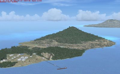
St. Eustatius scenery refreshes the Netherlands Antilles island with rebuilt coastlines, improved landclass, and a more coherent Oranjestad layout, plus an enhanced F. D. Roosevelt Airport (TNCE). Roads and traffic align with the updated terrain for more believable VFR navigation in FSX.


 Bonaire, Sint Eustatius and Saba
 - File: statiax.zip
- Size:3.25 MB
- Scan:
Clean (15d)

- Access:Freeware
- Content:Everyone
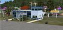
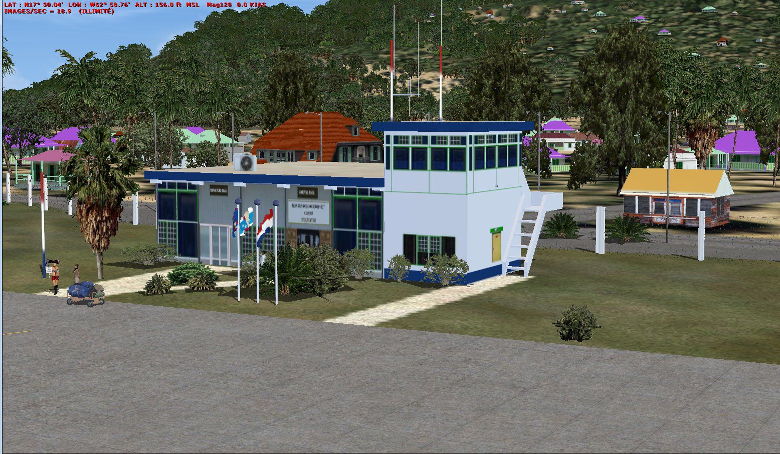
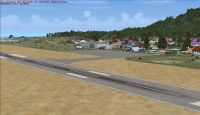
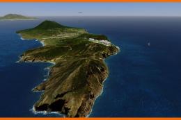
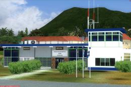
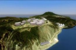
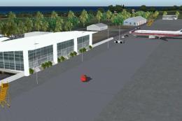
St. Eustatius, Netherlands Antilles. Redesign of all coasts and landclass. Includes F. D. Roosevelt airport (TNCE) and the city of Oranjestad. Roads and traffic adjust with land class. By Valladier Jean Louis.
St. Eustatius Scenery.
Redisign of all coasts and land class.
F.D. Roosevelt airport (TNCE).
City : Oranjestad
Roads and traffic adjust with land class.
It is running under FSX SP1 and SP2.
Installation:
Unzip the Statiax.ZIP into a work subfolder.
From your work subfolder:
Copy subfolder in <\Microsoft Flight Simulator X\Addon Scenery>
Run Simulator X.
Click
1-parameters
2-library of the scenery
3-add a zone
4-select Program Files\Microsoft Games\Microsoft Flight Simulator X\Addon
5-select: Statia
6-OK
This scene it is free to use for any simmor but it not to use for REGULAR COMMERCIAL PRACTICES.
Thank you with many persons which made it possible to know this new word and in particular for their programs articles or blogs and or councils.
Guy Nemos, Patrick RENAUDIN.
JL Valladier
St. Eustatius Scenery.
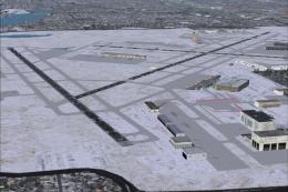
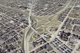
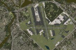
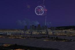
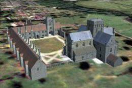
Images & Screenshots

Finding the Scenery
- FSX/Prepar3D Coordinates:
-
17.49650000,-62.97950000
Use the downloaded flight plan file by launching FSX/P3D, selecting "Load Flight Plan" in the flight planner, and choosing the .pln file. Your aircraft will be positioned directly at the add-on’s location. - Decimal Degrees (DD):
-
Latitude: 17.496500°
Longitude: -62.979500° - Degrees, Minutes, Seconds (DMS):
-
Latitude: 17° 29' 47.400" N
Longitude: 62° 58' 46.200" W
Map Location
The archive statiax.zip has 20 files and directories contained within it.
File Contents
This list displays the first 500 files in the package. If the package has more, you will need to download it to view them.
| Filename/Directory | File Date | File Size |
|---|---|---|
| lisezmoi.txt | 05.03.09 | 1.85 kB |
| readme.txt | 05.03.09 | 1.73 kB |
| sainteustatius | 05.01.09 | 0 B |
| scenery | 05.01.09 | 0 B |
| cvx_statia.BGL | 05.03.09 | 38.08 kB |
| statiawhisplacer.bgl | 05.02.09 | 1.79 MB |
| TNCE_ADE_JLV.BGL | 05.01.09 | 3.69 kB |
| texture | 05.01.09 | 0 B |
| corsaire.dds | 04.21.09 | 170.79 kB |
| maisonscreole1.dds | 04.08.09 | 682.79 kB |
| maisonscreole1nuit.dds | 04.20.09 | 682.79 kB |
| oldzi.dds | 12.09.08 | 682.79 kB |
| oldzinuit.dds | 04.20.09 | 682.79 kB |
| statia.dds | 04.20.09 | 682.79 kB |
| statianuit.dds | 04.20.09 | 682.79 kB |
| statia01.jpg | 05.01.09 | 299.62 kB |
| statia02.jpg | 05.01.09 | 179.22 kB |
| statia03.jpg | 05.01.09 | 393.43 kB |
| flyawaysimulation.txt | 10.29.13 | 959 B |
| Go to Fly Away Simulation.url | 01.22.16 | 52 B |
Installation Instructions
Most of the freeware add-on aircraft and scenery packages in our file library come with easy installation instructions which you can read above in the file description. For further installation help, please see our Flight School for our full range of tutorials or view the README file contained within the download. If in doubt, you may also ask a question or view existing answers in our dedicated Q&A forum.


0 comments
Leave a Response