FSX El Plumerillo/Aeropuerto Scenery
El Plumerillo/Aeropuerto Internacional Gabrielli FJ (SAME) brings Mendoza, Argentina to life with airport-specific scenery built around the sim’s original textures, including enhanced night ambiance via optional artificial lighting. Designed for Microsoft Flight Simulator X, it refreshes the field layout and runway environment for more believable departures and arrivals in the region.
 Argentina
 - File: same.zip
- Size:5.97 MB
- Scan:
Clean (23d)

- Access:Freeware
- Content:Everyone
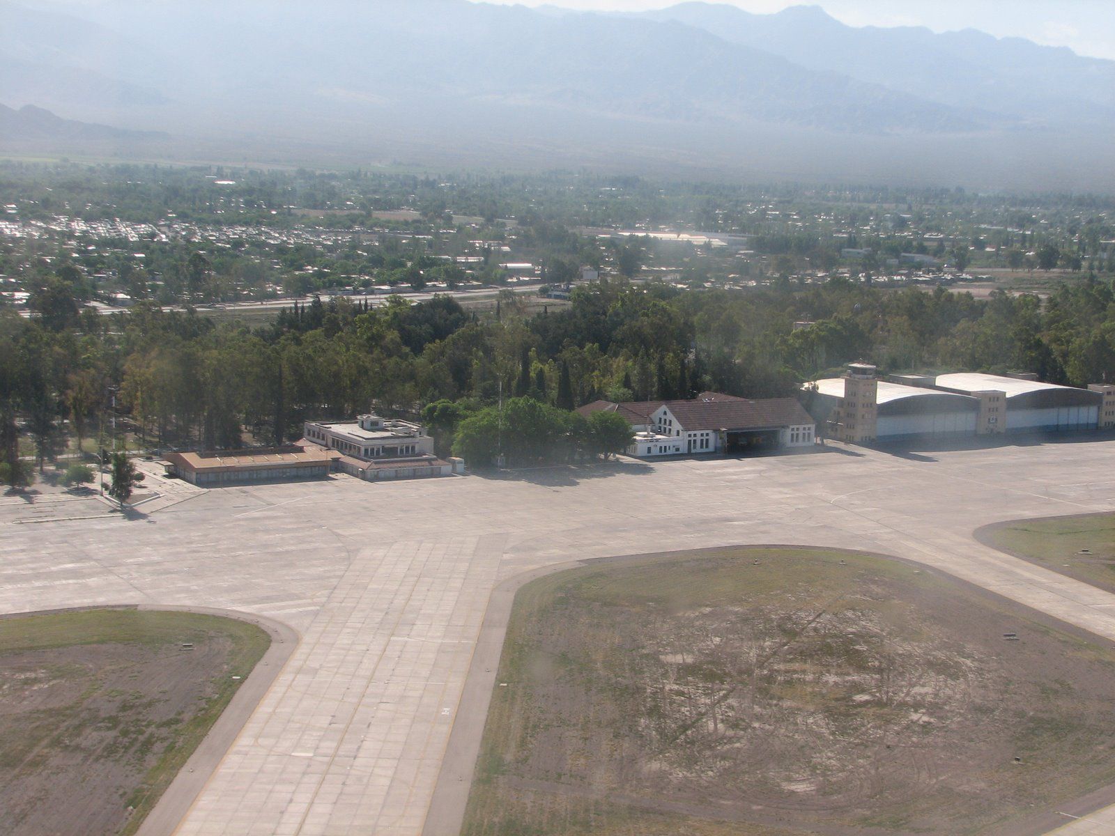
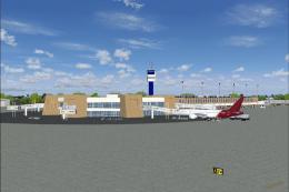
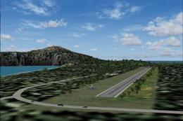
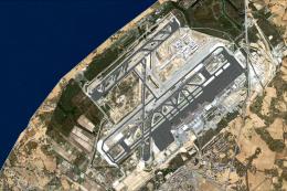
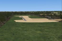
El Plumerillo/Aeropuerto Internacional Gabrielli FJ, Mendoza, Argentina (SAME). By Cristobal Laje.
El Plumerillo/Aeropuerto Scenery.
Locate the *.bgl files that are in the SAME folder, and paste in the "scenery", following the next Route: ... Microsoft Games \ Microsoft Flight Simulator X \ Addon Scenery \ scenery. This scenario has been built with the original textures and should be installed on your PC, why not included in this package. WARNING: We included artificial lighting for the stage, if you want to see it included, you must unzip the folder and fsx_lts continue with the installation procedure it includes.

El Plumerillo/Aeropuerto Scenery.
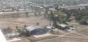
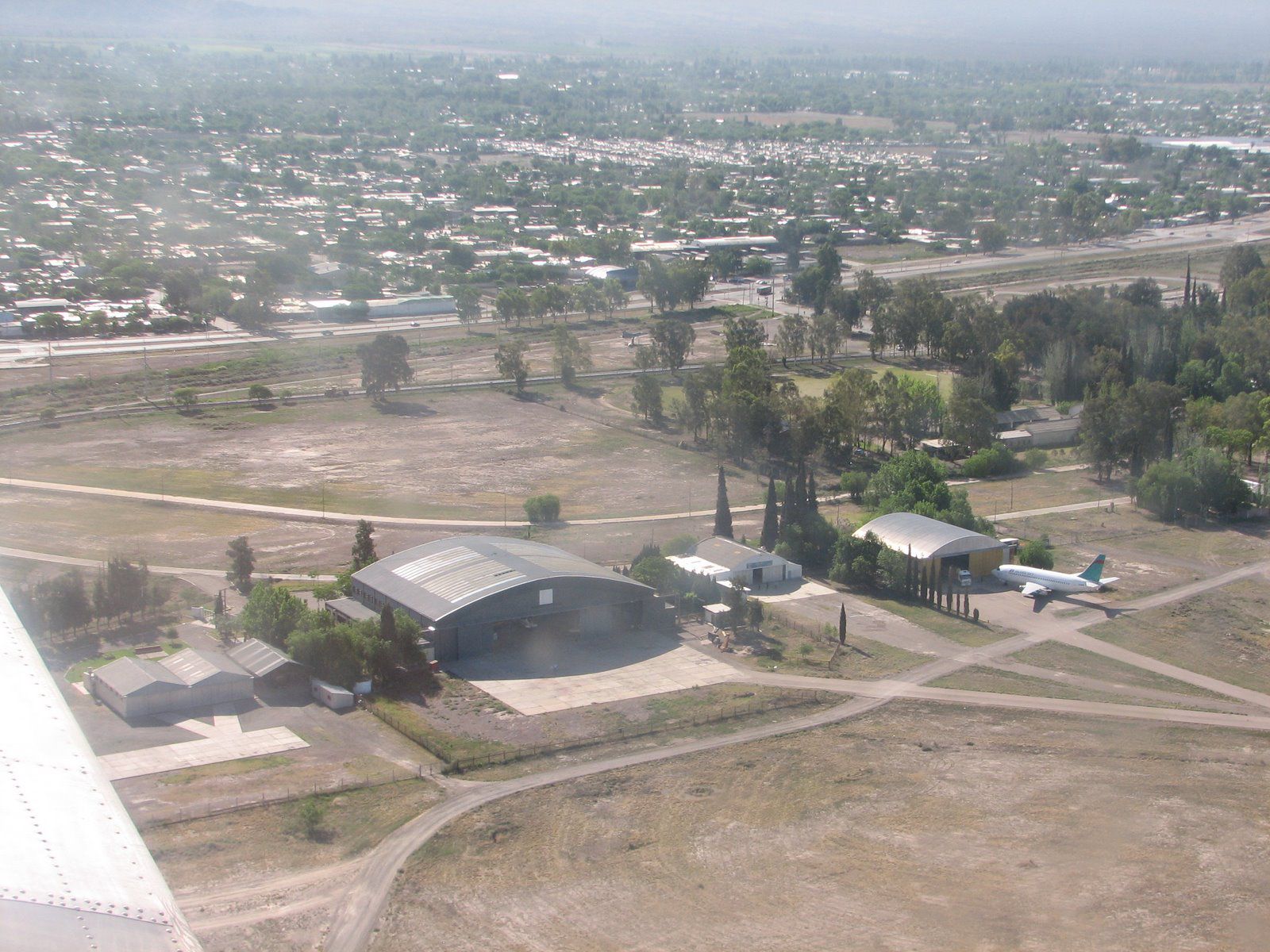
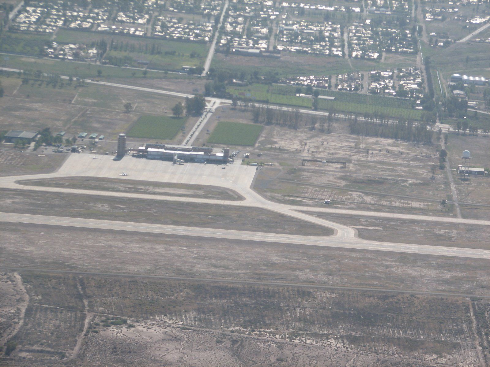
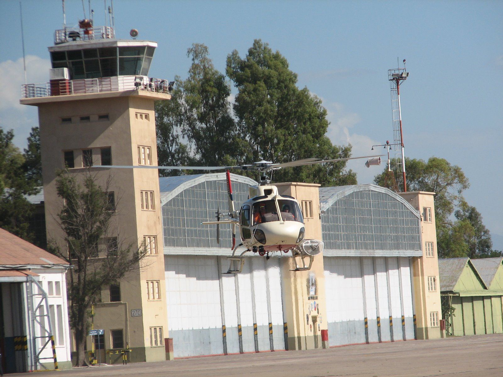
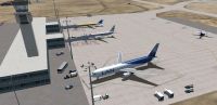
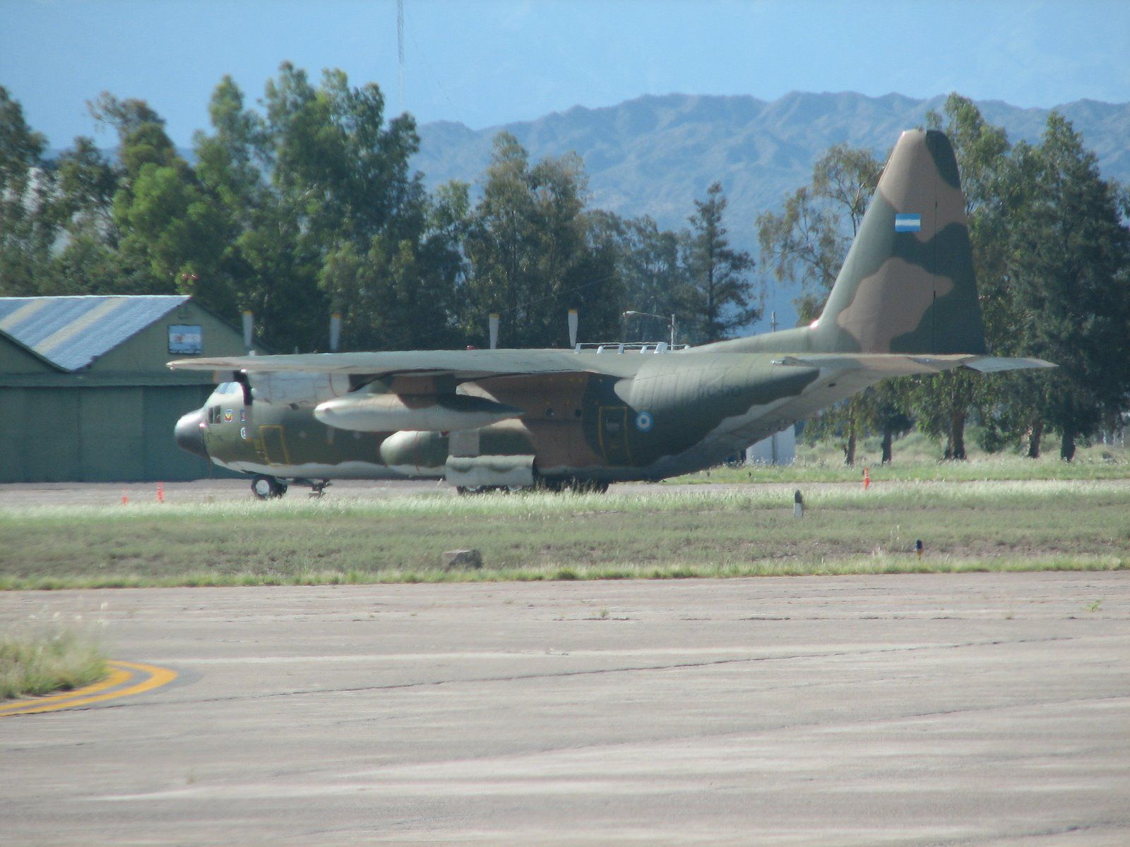
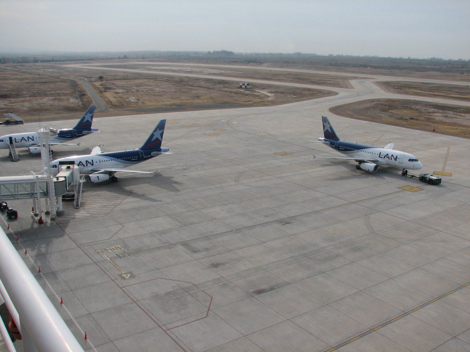
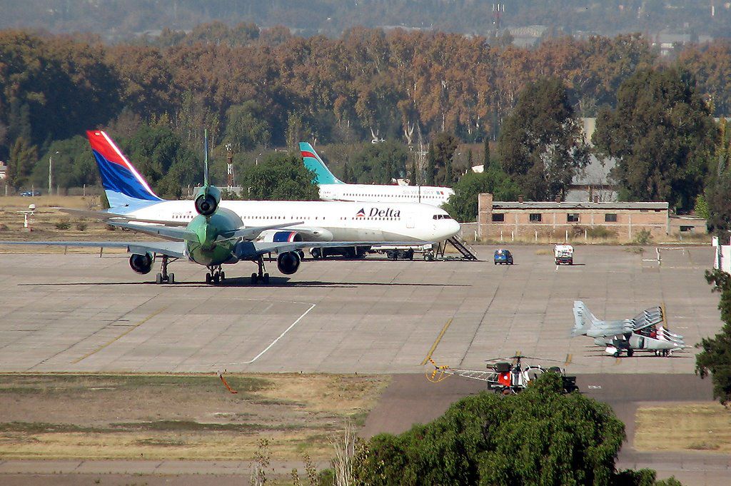
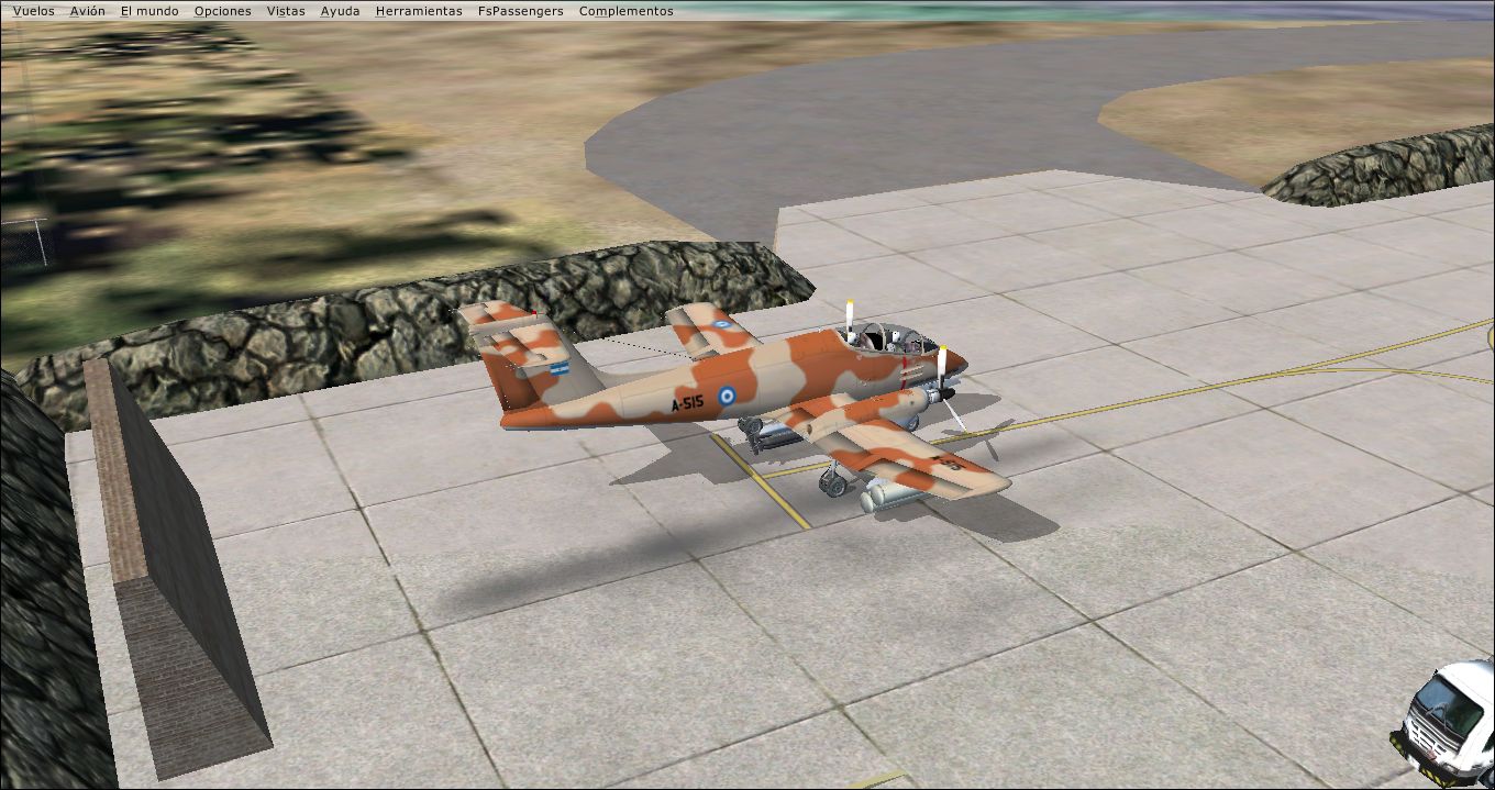
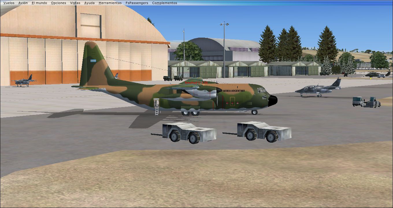
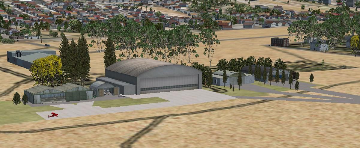
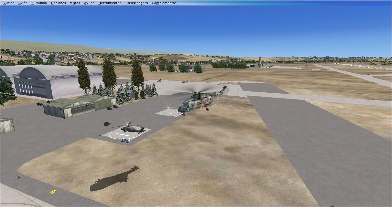
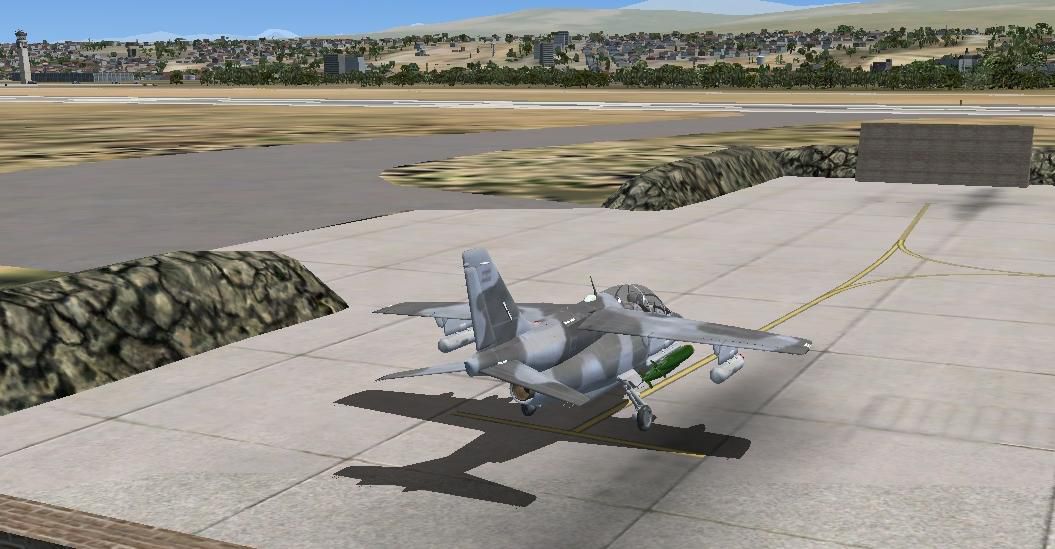
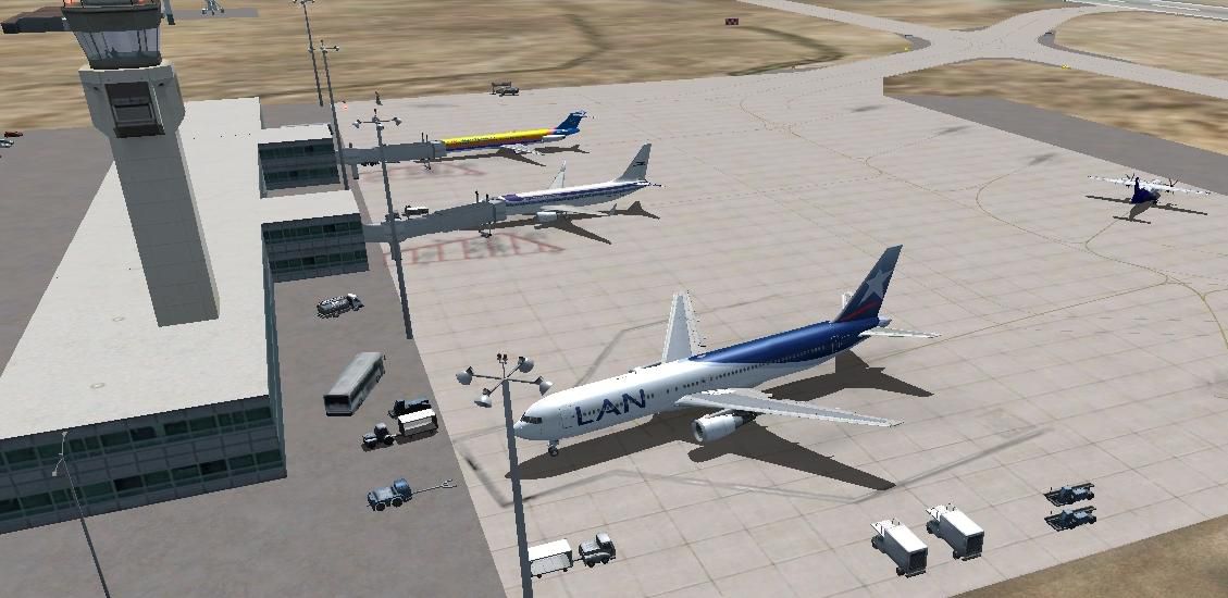
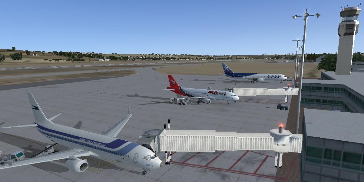
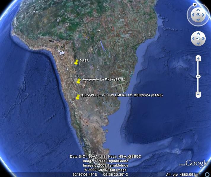
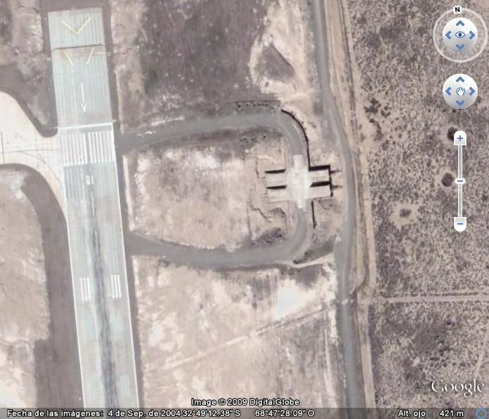
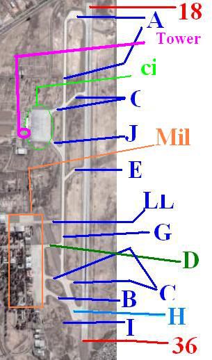
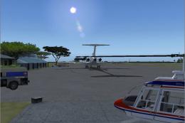
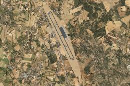
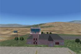
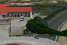
Images & Screenshots

Finding the Scenery
- FSX/Prepar3D Coordinates:
-
-32.83170000,-68.79290000
Use the downloaded flight plan file by launching FSX/P3D, selecting "Load Flight Plan" in the flight planner, and choosing the .pln file. Your aircraft will be positioned directly at the add-on’s location. - Decimal Degrees (DD):
-
Latitude: -32.831700°
Longitude: -68.792900° - Degrees, Minutes, Seconds (DMS):
-
Latitude: 32° 49' 54.120" S
Longitude: 68° 47' 34.440" W
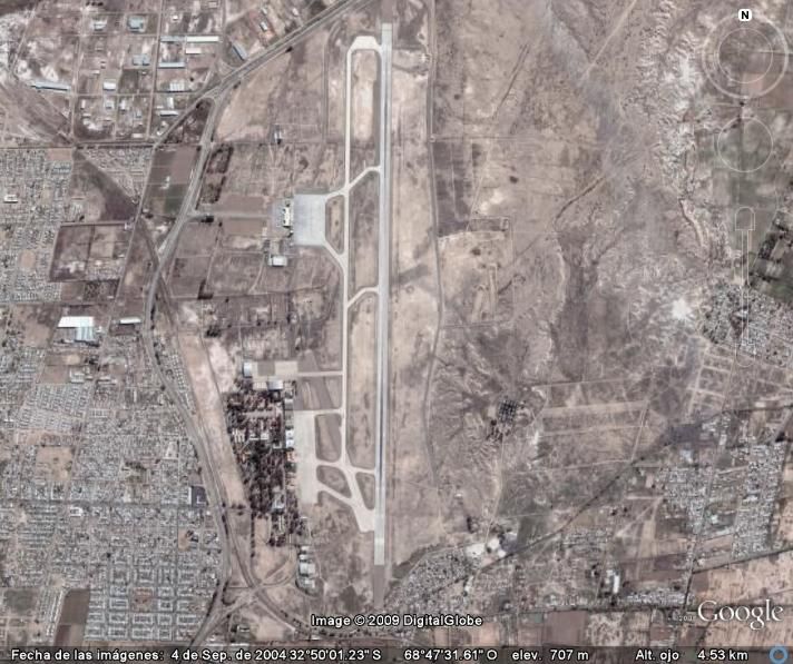
Map Location
The archive same.zip has 32 files and directories contained within it.
File Contents
This list displays the first 500 files in the package. If the package has more, you will need to download it to view them.
| Filename/Directory | File Date | File Size |
|---|---|---|
| fsx pics | 10.18.09 | 0 B |
| Airport1.JPG | 10.18.09 | 85.28 kB |
| Airport2.JPG | 10.18.09 | 84.93 kB |
| Map.JPG | 10.18.09 | 34.01 kB |
| Mil_18_1.JPG | 10.12.09 | 715.13 kB |
| MIL_18_2.JPG | 10.18.09 | 91.28 kB |
| MIL_cargo.JPG | 10.18.09 | 610.28 kB |
| Mil_Helipad.JPG | 10.12.09 | 121.38 kB |
| South_Hangar.JPG | 10.04.09 | 132.11 kB |
| Thumbs.db | 10.18.09 | 79.00 kB |
| fsx_lts.zip | 09.24.09 | 374.09 kB |
| How_Install.txt | 10.18.09 | 1.18 kB |
| Info.txt | 10.18.09 | 4.03 kB |
| real pics | 10.18.09 | 0 B |
| 1.JPG | 09.19.09 | 372.27 kB |
| 2.JPG | 09.19.09 | 292.09 kB |
| 3.JPG | 09.19.09 | 340.64 kB |
| 4.JPG | 09.19.09 | 331.92 kB |
| 5.JPG | 09.19.09 | 263.17 kB |
| 6.jpg | 09.19.09 | 189.74 kB |
| 7.JPG | 09.19.09 | 241.18 kB |
| RWY 18.jpg | 09.21.09 | 65.77 kB |
| SAME SAT.jpg | 09.17.09 | 89.03 kB |
| Space.jpg | 10.18.09 | 67.58 kB |
| Thumbs.db | 10.04.09 | 107.00 kB |
| SAME | 10.18.09 | 0 B |
| SAME.BGL | 10.18.09 | 63.56 kB |
| SAME_CVX.bgl | 10.18.09 | 4.83 kB |
| SAME.zip | 01.02.09 | 1.47 MB |
| SAME | 10.18.09 | 0 B |
| flyawaysimulation.txt | 10.29.13 | 959 B |
| Go to Fly Away Simulation.url | 01.22.16 | 52 B |
Installation Instructions
Most of the freeware add-on aircraft and scenery packages in our file library come with easy installation instructions which you can read above in the file description. For further installation help, please see our Flight School for our full range of tutorials or view the README file contained within the download. If in doubt, you may also ask a question or view existing answers in our dedicated Q&A forum.

0 comments
Leave a Response