FSX EBBZ Buzet Scenery
EBBZ Buzet brings Belgium’s ultralight-only airfield near Nivelles to life in FSX with detailed photoreal hangars and buildings, lively road traffic, animated windmills, and custom static aircraft. The scenery supports SP2 in both DX9 and DX10, with plenty of small touches to explore.
Images & Screenshots
6 total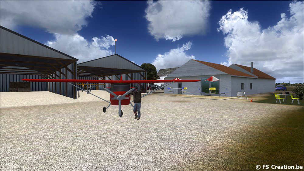
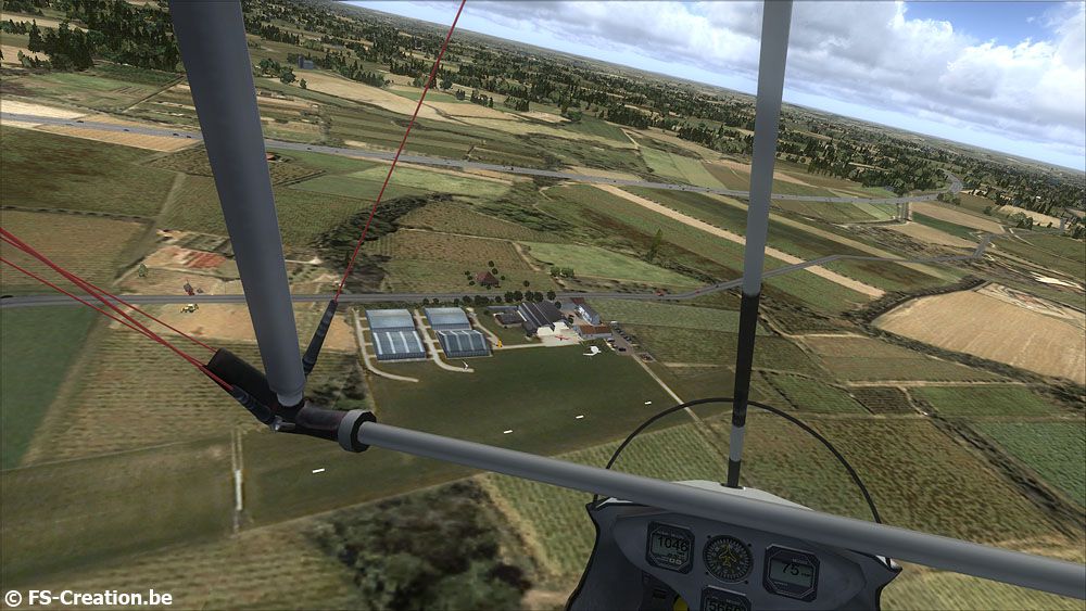
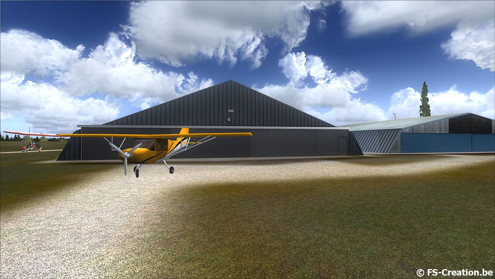

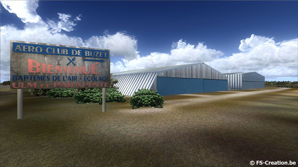
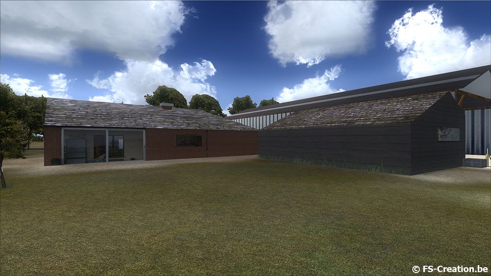
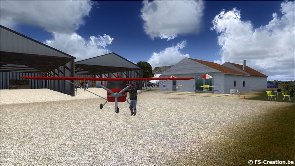
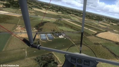
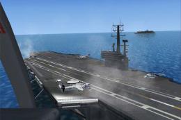
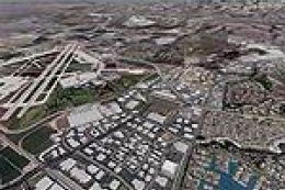
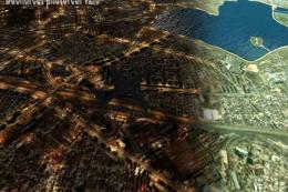
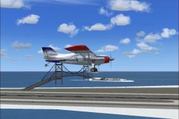
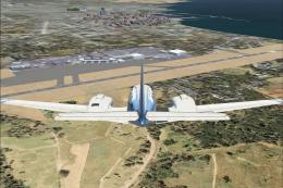
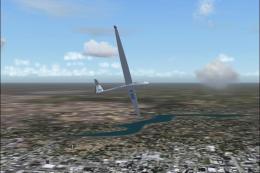
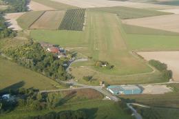
EBBZ Buzet Scenery. Buzet is a small airfield located near Nivelles in Belgium, used by ultralight aircraft only. Photoreal textures on hangars and buildings, road traffic included. Animated windmills, custom static aircraft and much more to discover. This scenery is compatible SP2 dx9 and dx10. By Jean-Philippe Pierard and Emmanuel Pierard.
EBBZ Buzet Scenery.
EBBZ Buzet airfield for FSX SP2.
Install:
Double click on setup.exe and follow the instructions.
Don't forget to add the scenery in the sceneries library.
Uninstall:
Remove the scenery in the sceneries library.
Delete the EBBZ folder located in ..\Addon Scenery\
Thanks to ...
Beta testers Eddy and Poletienne.
Michael Flahault from Flight Replicas for the static Minimax aircraft.
EBBZ Buzet Scenery.
Ready to download EBBZ Buzet Scenery?
Free for all simmers · 20.35 MB · Scanned clean
File information
Download speed: Free tier is capped at 0.5 Mbps (this file takes approximately 6 mins at the cap). PRO members download at full line speed.
How to install this mod
FSX / P3D
scenery
How to install this mod
-
Extract the downloaded archive
Use 7-Zip (free) or WinRAR to extract the ZIP to a temporary folder. Don't install while still zipped — the simulator can't read inside ZIP files. -
Place scenery in Addon Scenery
Create a folder underFSX\Addon Scenery\containingsceneryandtexturesub-folders. -
Activate in Scenery Library
In FSX, go to Settings → Scenery Library → Add Area. Higher priority means it overrides lower entries for the same location. -
Always read the included readme
Every mod ships with areadme.txtorREADMEfile. It tells you exactly where files go, what dependencies are needed, and any quirks specific to this add-on.
Finding the scenery
Use these coordinates to fly directly to this location once the mod is installed.
50.59000000,4.38000000
Launch FSX or Prepar3D and use Flights → Load to open the downloaded .pln file. Your aircraft will be positioned at this location.
What’s inside this archive
The archive ebbz.zip has 11 files and directories contained within it.
File Contents
This list displays the first 500 files in the package. If the package has more, you will need to download it to view them.
| Filename/Directory | File Date | File Size |
|---|---|---|
| EBBZ.exe | 05.24.10 | 19.59 MB |
| readme.txt | 05.24.10 | 924 B |
| screen1.jpg | 05.24.10 | 154.14 kB |
| screen2.jpg | 05.24.10 | 170.34 kB |
| screen3.jpg | 05.24.10 | 196.56 kB |
| screen4.jpg | 05.24.10 | 145.70 kB |
| screen5.jpg | 05.24.10 | 162.92 kB |
| screen6.jpg | 05.24.10 | 163.68 kB |
| thumbnail.gif | 05.24.10 | 13.86 kB |
| flyawaysimulation.txt | 10.29.13 | 959 B |
| Go to Fly Away Simulation.url | 01.22.16 | 52 B |


0 comments
Leave a Response