FSX Medellin Colombia Scenery
Medellín, Colombia scenery enriches the city with custom objects and landmark tweaks, refining corridors like Avenue 65 and Avenue 80, El Tesoro, the route to Santa Fe de Antioquia, Fourth Brigade, the MDE–BTA Palms Highway, and the Peñol stone dam for more convincing VFR sightseeing in FSX.

 Colombia
 - File: mde.zip
- Size:960.44 KB
- Scan:
Clean (6d)

- Access:Freeware
- Content:Everyone
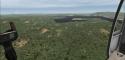
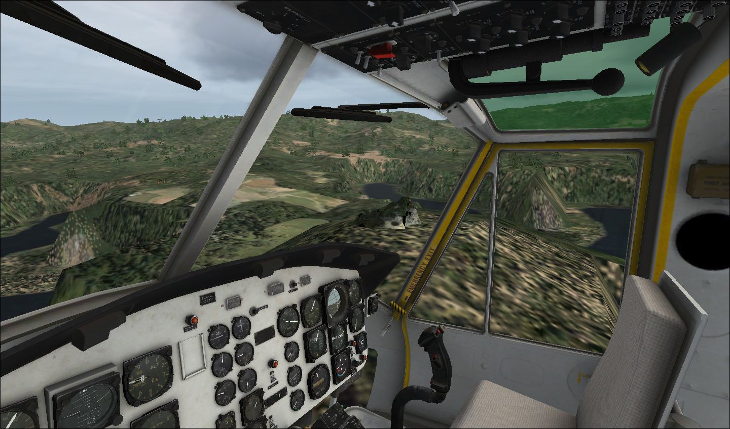
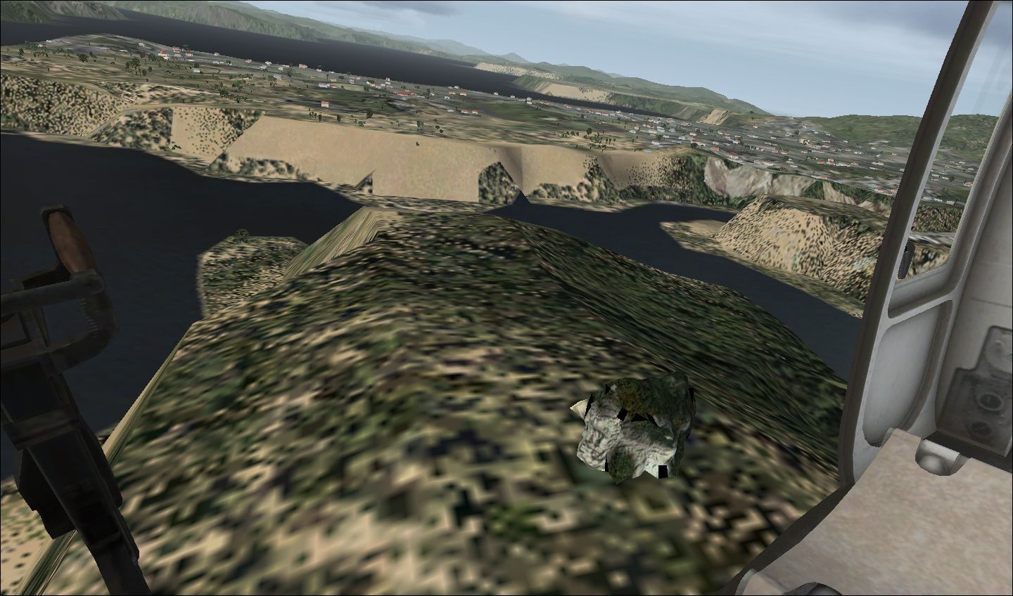
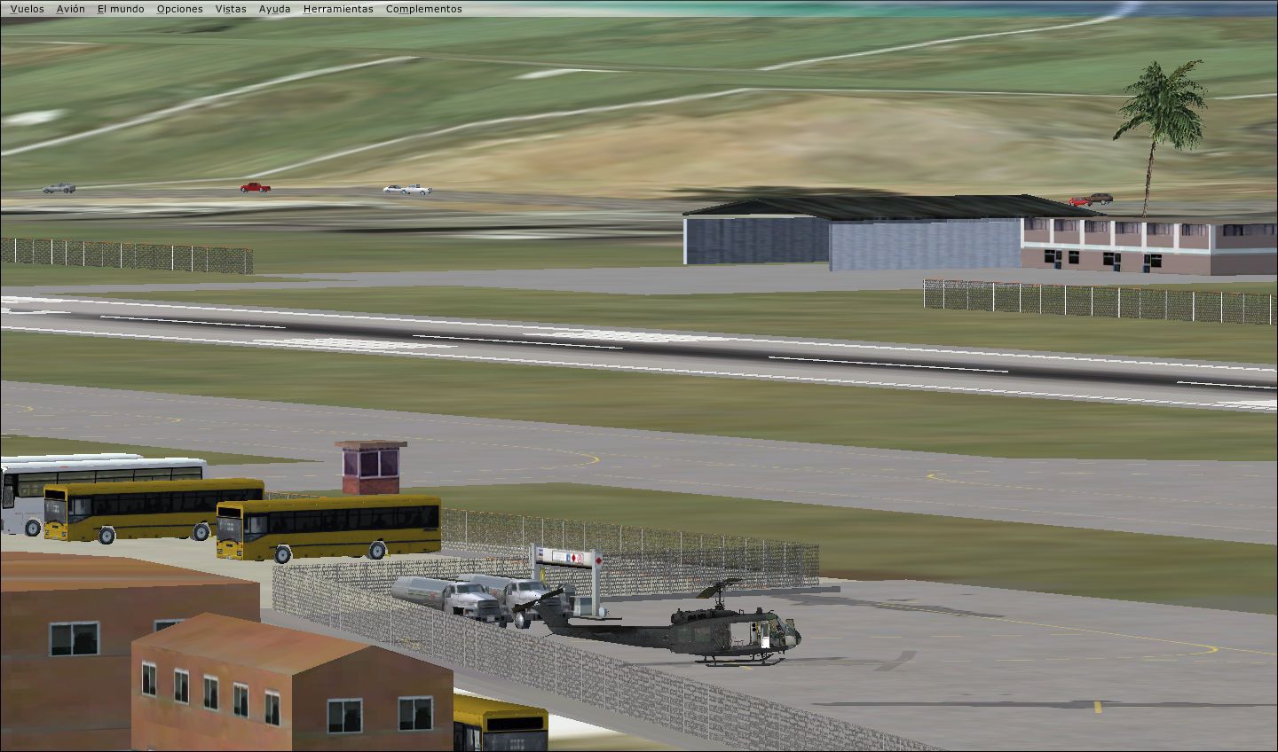
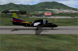
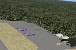
Medellin Colombia. Adding objects to the scenery of Medellin Colombia. Adjust Avenue 65, Avenue 80, El Tesoro, Walkout Santafe de Antioquia, fourth brigade, Palms Highway MDE-BTA, and stone dam Penol. By Miguel Calderon.
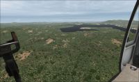
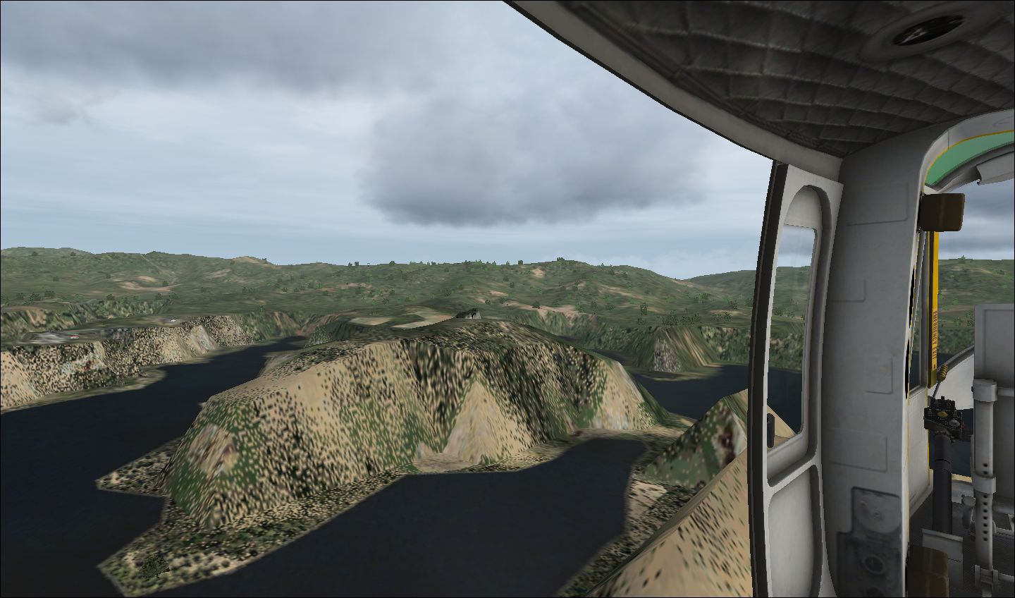
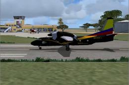
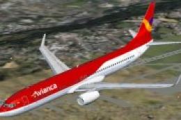
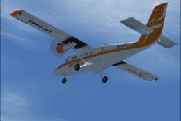
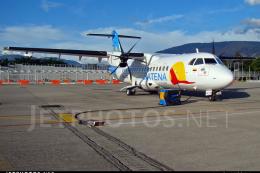
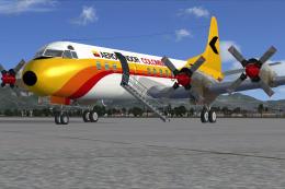
Aerial view of Medellin Colombia.
1. Unzip the file contents. Zip anywhere on your computer that you access.
2.Include Library folder to the FSX.

Aerial view of Medellin Colombia.
Images & Screenshots

Finding the Scenery
- FSX/Prepar3D Coordinates:
-
6.25180000,-75.56360000
Use the downloaded flight plan file by launching FSX/P3D, selecting "Load Flight Plan" in the flight planner, and choosing the .pln file. Your aircraft will be positioned directly at the add-on’s location. - Decimal Degrees (DD):
-
Latitude: 6.251800°
Longitude: -75.563600° - Degrees, Minutes, Seconds (DMS):
-
Latitude: 6° 15' 06.480" N
Longitude: 75° 33' 48.960" W
Map Location
The archive mde.zip has 15 files and directories contained within it.
File Contents
This list displays the first 500 files in the package. If the package has more, you will need to download it to view them.
| Filename/Directory | File Date | File Size |
|---|---|---|
| cvxEL PENOL.BGL | 11.26.10 | 2.88 kB |
| cvxMEDELLIN.BGL | 10.29.10 | 41.80 kB |
| EL PENOL_Scenery.BGL | 11.26.10 | 156 B |
| MEDELLIN_Scenery.BGL | 10.29.10 | 1.28 kB |
| 2010-11-26_17-13-24-329.jpg | 11.26.10 | 188.18 kB |
| 2010-11-26_17-14-49-116.jpg | 11.26.10 | 198.52 kB |
| 2010-11-26_17-17-50-672.jpg | 11.26.10 | 154.06 kB |
| 2010-11-26_8-37-15-199.jpg | 11.26.10 | 178.33 kB |
| 2010-11-26_12-40-44-285.jpg | 11.26.10 | 202.80 kB |
| FILE_ID.DIZ.DIZ | 11.26.10 | 455 B |
| Instrucciones.txt | 11.26.10 | 643 B |
| Copyright & Contact.txt | 11.05.10 | 1.47 kB |
| MDE.gif | 11.26.10 | 14.36 kB |
| flyawaysimulation.txt | 10.29.13 | 959 B |
| Go to Fly Away Simulation.url | 01.22.16 | 52 B |
Installation Instructions
Most of the freeware add-on aircraft and scenery packages in our file library come with easy installation instructions which you can read above in the file description. For further installation help, please see our Flight School for our full range of tutorials or view the README file contained within the download. If in doubt, you may also ask a question or view existing answers in our dedicated Q&A forum.
0 comments
Leave a Response