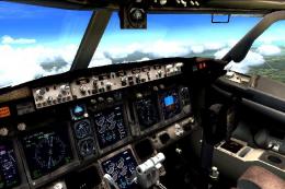
 FSX Misc
Airports Merged With ICAO Data Bases - Update 2
Here's a complete list of all airports in the FSX airports file with the adde…
Flight Simulator X airports and navaids appear in Google Earth as a complete, searchable reference, including communications and navigation frequencies, runway data, and ILS details pulled from the default BGL scenery set. The package maps global facilities in one place, helping flight planning and route review with accurate positional context.

Free for all simmers · 2.36 MB · Scanned clean
Download speed: Free tier is capped at 0.5 Mbps. PRO members download at full line speed.
SimObjects\Airplanes\, Addon Scenery\, Effects\, or Gauges\.readme.txt or README file. It tells you exactly where files go, what dependencies are needed, and any quirks specific to this add-on.The archive fsxge.zip has 9 files and directories contained within it.
This list displays the first 500 files in the package. If the package has more, you will need to download it to view them.
| Filename/Directory | File Date | File Size |
|---|---|---|
| fsxge.gif | 11.16.06 | 8.34 kB |
| airport.png | 08.22.06 | 2.74 kB |
| fsxge.kml | 11.16.06 | 25.04 MB |
| ndb.png | 08.22.06 | 2.34 kB |
| readme.txt | 11.16.06 | 764 B |
| vor.png | 08.22.06 | 2.19 kB |
| FILE_ID.DIZ | 11.16.06 | 291 B |
| flyawaysimulation.txt | 10.29.13 | 959 B |
| Go to Fly Away Simulation.url | 01.22.16 | 52 B |
More FSX & P3D add-ons hand-picked based on this download.
FSX Misc
Here's a complete list of all airports in the FSX airports file with the adde…
 FSX Misc
ENBSeries .dll And .ini file. After much searching, I find this one works. De…
FSX Misc
This file is a replacement for FSX's default situation file (which is droppin…
FSX Misc
This console program connects to FSX via SimConnect, and provides a three-axi…
FSX Misc
Nuclear bomb and missile effect packaged together for installation in any air…
 FSX Misc
Alternative aircraft viewer and loading screen. By Hugo Van Pelt. Alternative…
 FSX Misc
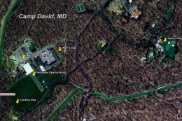
This scenery/AI package shuttles the presidential helicopter "Marine 1" among…
FSX Misc
A tutorial/checklist for FS2Crew Voice Commander Edition for PMDG's J41. Many…
Read what other simmers think, or add your own.
Extremely useful, great for exploring places you have never been, just make sure to check only the area you want and zoom in or else you'll have dots all over the place. Great for inventing your own adventures.
Great to see exactly where all the worlds airports are. I set google earth up on laptop besides my FSX computer and wow you can plan flights and missions with ease. Tks
One of the most useful downloads, makes it a-piece-of-cake to explore unfamilliar areas of the world. Extremely handy with the ability, for instance, to turn off VORs and NDBs and leave just the airports to scan through (by unchecking the proper boxes in Google Earth--something that a guy above didn't notice or discover). Keep up the good work! (I was actually wishing that someone would have done something like this!)
Works well and does what it is supposed to. Zoom in to a pretty small area or it takes forever to populate the world with vor's, etc.
Fully agree. World pilots should have something like this. It works very good. Gives much information about real frequencies and much more. 10/10.