 FS2004 Scenery
FS2002/FS2004 United Kingdom Pack2 Soaring
This file add some thermals to default Microsoft scenery for North Weald, Dun…
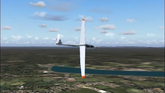
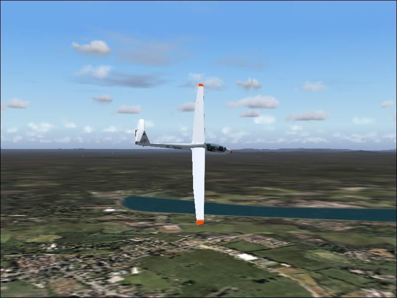
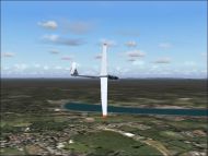
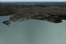
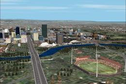
Queensland Coast soaring scenery enriches the default airport landscape with placed thermals along Australia’s Queensland corridor, turning local hops into lively glider and light-aircraft flights in FS2004. Uplift zones cover dozens of fields from Maroochydore and Bundaberg to Weipa and Bamaga, plus intermediate points for cross-country routing.
Free for all simmers · 93.38 KB · Scanned clean
Download speed: Free tier is capped at 0.5 Mbps. PRO members download at full line speed.
FS9\Aircraft\, FS9\Addon Scenery\, FS9\Gauges\, or FS9\Effects\.readme.txt or README file. It tells you exactly where files go, what dependencies are needed, and any quirks specific to this add-on.The archive squeensl.zip has 7 files and directories contained within it.
This list displays the first 500 files in the package. If the package has more, you will need to download it to view them.
| Filename/Directory | File Date | File Size |
|---|---|---|
| Soar_Queensland.JPG | 11.05.05 | 49.64 kB |
| Flight Simulator 9.zip | 11.05.05 | 44.79 kB |
| File_ID.diz | 11.05.05 | 1.72 kB |
| Readme.txt | 11.05.05 | 669 B |
| SQueensl | 11.05.05 | 0 B |
| flyawaysimulation.txt | 10.29.13 | 959 B |
| Go to Fly Away Simulation.url | 01.22.16 | 52 B |
More FS2004 add-ons hand-picked based on this download.
FS2004 Scenery
This file add some thermals to default Microsoft scenery for North Weald, Dun…
 FS2004 Scenery
Revamped coast, towns, islands, rivers & roads for the coastal strip of Queen…
 FS2004 Scenery
These files adds some thermals to default Microsoft over below Regions and al…
 FS2004 Scenery
These files adds some thermals to default Microsoft over below Regions and al…
 FS2004 Scenery
This is a complete and revised version of CCCOAST4.ZIP that was released on 1…
 FS2004 Scenery
August 2003 This scenery is an accurate representaiton of the Adelade CBD. It…
 FS2004 Scenery
Includes Pin Rivers scenry by Mal Lloyd THese are my latest versions of these…
 FS2004 Scenery
Saint-Michel-des-Saints is situated in the Laurentian mountains in Québec. Th…
Be the first to leave a comment on this download.
Be the first to share your thoughts on this download.