FS2004/FSCOF/FS2002/FS2000 Courseplanner 3.C.8, stand alone Flight Planner
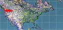
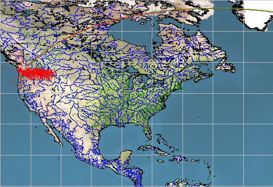
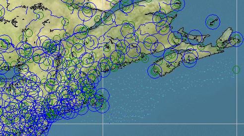
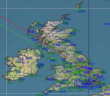
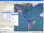
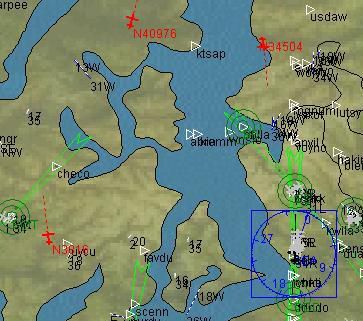
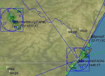
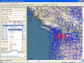
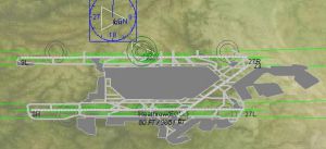
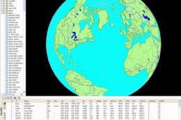
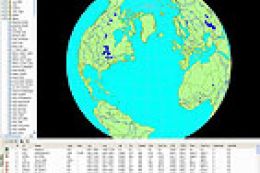
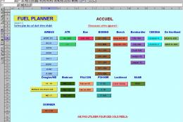
Courseplanner 3.C.8 delivers full flight planning and monitoring on a detailed world map for FS2004/FSCOF/FS2002/FS2000, with over 30,000 SID/STAR procedures and 60,000 fixes using installed scenery, airports, and navaids. It tracks AI and multiplayer traffic, supports VATSIM and IVAO, runs standalone or over a network, imports and exports plans, prints charts and briefings, and can even automate flight and pausing.

 3.8/5
(2)
2.3K downloads
FS2004
3.8/5
(2)
2.3K downloads
FS2004
- File: advdev3c8.zip
- Size:26.27 MB
- Scan:
Clean (20d)

- Access:Freeware
- Content:Everyone
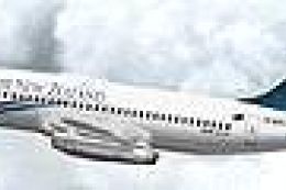
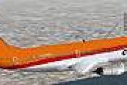
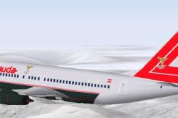
Images & Screenshots

The archive advdev3c8.zip has 14 files and directories contained within it.
File Contents
This list displays the first 500 files in the package. If the package has more, you will need to download it to view them.
| Filename/Directory | File Date | File Size |
|---|---|---|
| FILE_ID.DIZ | 08.13.05 | 935 B |
| ReadMe.txt | 08.13.05 | 648 B |
| setup.zip | 07.26.05 | 25.85 MB |
| closeup1.jpg | 07.09.05 | 43.63 kB |
| closeup2.jpg | 07.09.05 | 48.60 kB |
| closeup3.jpg | 07.09.05 | 25.11 kB |
| closeup4.jpg | 07.09.05 | 127.81 kB |
| closeup5.jpg | 07.09.05 | 31.93 kB |
| closeup5_1.jpg | 07.09.05 | 50.67 kB |
| cp_small2.jpg | 07.09.05 | 26.50 kB |
| cp_small3.jpg | 07.09.05 | 28.14 kB |
| cp_3c_taxi.jpg | 07.09.05 | 48.79 kB |
| flyawaysimulation.txt | 10.29.13 | 959 B |
| Go to Fly Away Simulation.url | 01.22.16 | 52 B |
Installation Instructions
Most of the freeware add-on aircraft and scenery packages in our file library come with easy installation instructions which you can read above in the file description. For further installation help, please see our Flight School for our full range of tutorials or view the README file contained within the download. If in doubt, you may also ask a question or view existing answers in our dedicated Q&A forum.


1 comments
Leave a ResponseThe content of the comments below are entirely the opinions of the individual posting the comment and do not always reflect the views of Fly Away Simulation. We moderate all comments manually before they are approved.