FSX Raleigh Exec Jetport
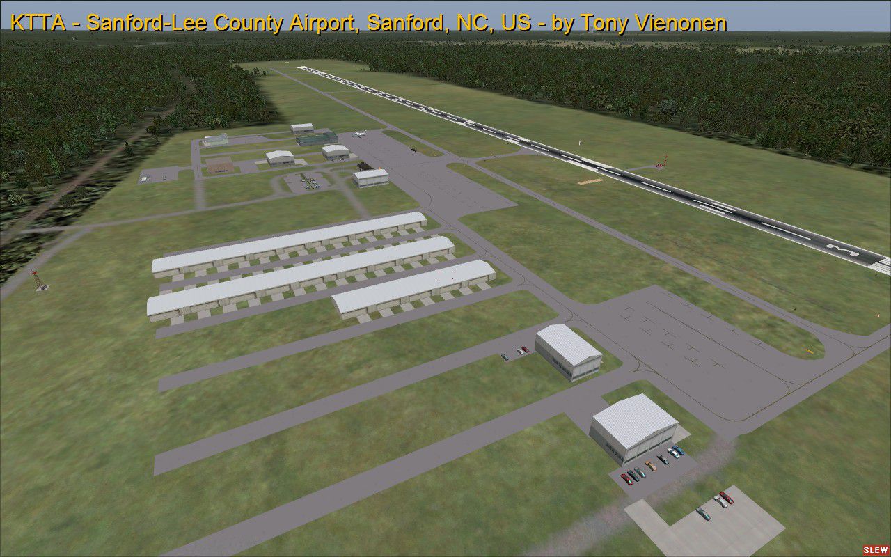
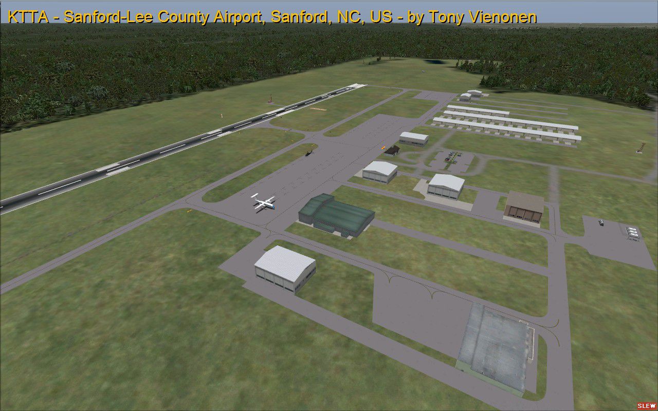
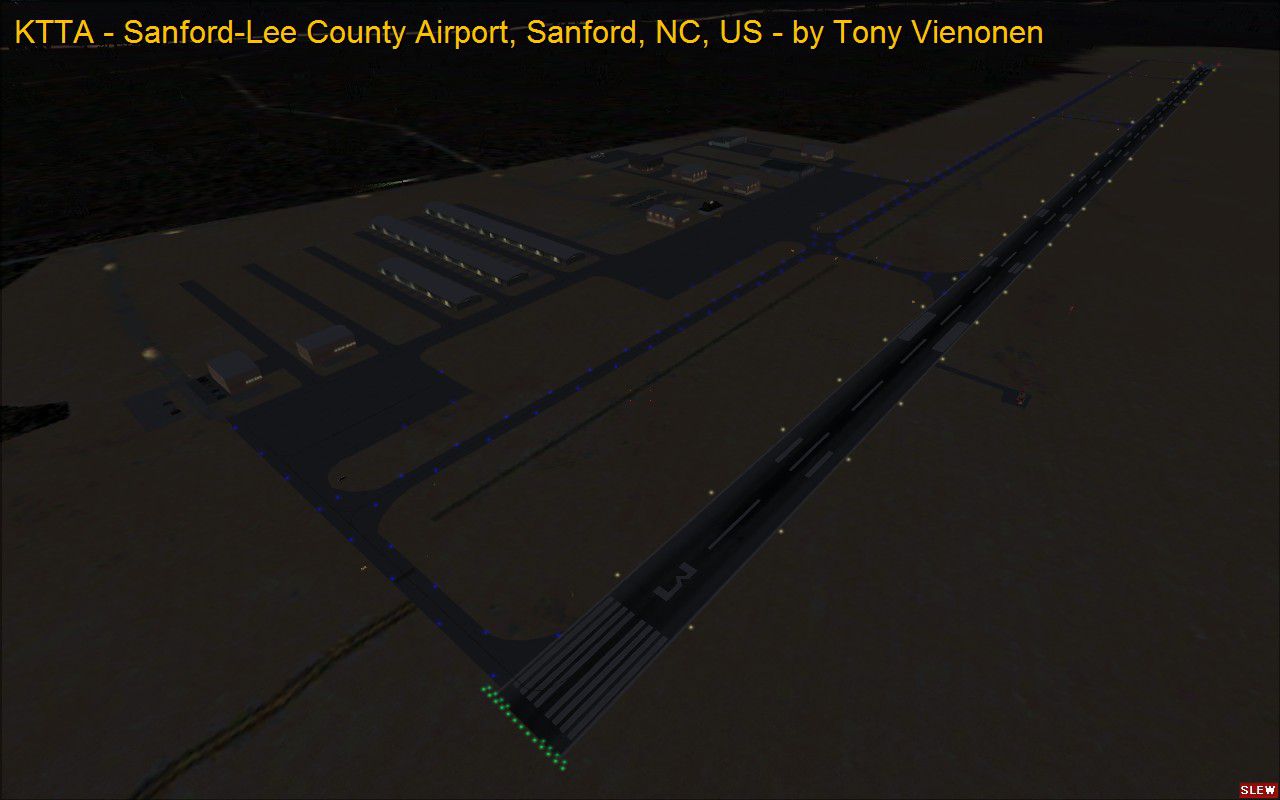
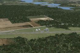
Raleigh Exec Jetport scenery updates KTTA at Sanford-Lee County Regional Airport near Sanford, North Carolina, bringing more convincing ground layout and local context. For Microsoft Flight Simulator X, it adds parking and apron areas, labeled taxiways, extra airport buildings, and nearby lake and road features for a richer approach, taxi, and ramp experience.


 United States of America
 - File: ktta_fsx_tav.zip
- Size:1.45 MB
- Scan:
Clean (2d)

- Access:Freeware
- Content:Everyone
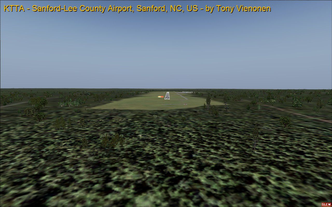
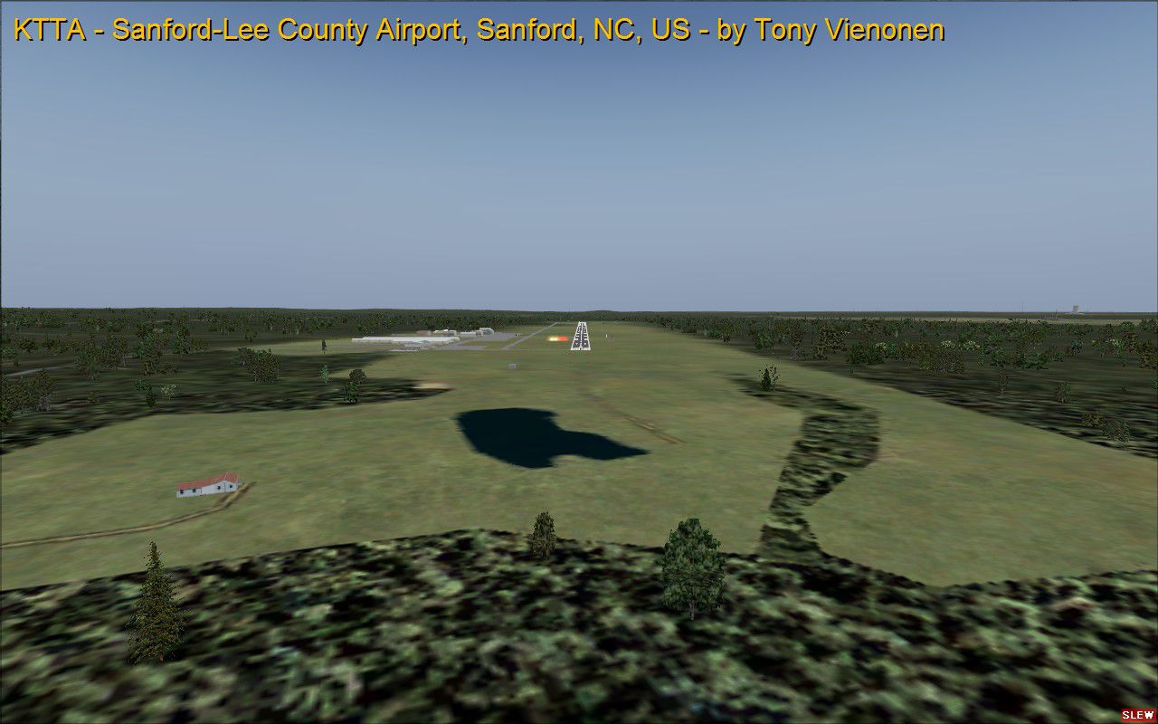
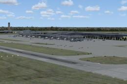
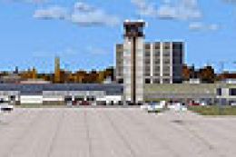
Raleigh Exec Jetport at Sanford-Lee County, Sanford, North Carolina, United States. KTTA is a public use airport located northeast of Sanford, NC, USA. It is owned by the Sanford-Lee County Regional Airport Authority and was previously known as Sanford-Lee County Regional Airport. By Tony Vienonen.
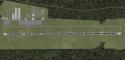
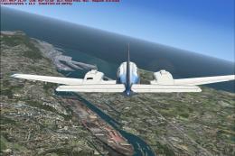
Screenshot of runway 3 at Raleigh Exec Jetport.
Changes include:
- Added parking and aprons.
- Labeled taxiways.
- Added buildings.
- Changed Name to Raleigh Exec Jetport at Sanford-Lee County.
- Added nearby lake and roads.
Add-on Scenery Instructions for FSX:
- Unzip the scenery in a temporary folder. I recommend making a folder on the desktop.
- Copy the contents of the Microsoft Flight Simulator X folder into your Microsoft Flight Simulator folder.
- Click the Yes Button to merge the folders.
Activating the Scenery:
- Start Flight Simulator.
- From the menu bar in Free Flight, click World > Scenery Library.
- Click on Addon Scenery. If it is already checked, leave it alone.
If you had followed these instructions, your new scenery should be installed and ready to use.
Images & Screenshots

Finding the Scenery
- FSX/Prepar3D Coordinates:
-
35.58390000,-79.10160000
Use the downloaded flight plan file by launching FSX/P3D, selecting "Load Flight Plan" in the flight planner, and choosing the .pln file. Your aircraft will be positioned directly at the add-on’s location. - Decimal Degrees (DD):
-
Latitude: 35.583900°
Longitude: -79.101600° - Degrees, Minutes, Seconds (DMS):
-
Latitude: 35° 35' 02.040" N
Longitude: 79° 06' 05.760" W
Map Location
The archive ktta_fsx_tav.zip has 21 files and directories contained within it.
File Contents
This list displays the first 500 files in the package. If the package has more, you will need to download it to view them.
| Filename/Directory | File Date | File Size |
|---|---|---|
| Microsoft Flight Simulator X | 02.05.13 | 0 B |
| Addon Scenery | 02.05.13 | 0 B |
| Scenery | 02.05.13 | 0 B |
| CVX_KTTAroads.BGL | 02.05.13 | 800 B |
| KTTA_ADEX_TAV.BGL | 02.05.13 | 41.96 kB |
| KTTA_ADEX_TAV_CVX.bgl | 02.05.13 | 1.82 kB |
| Scenery | 02.05.13 | 0 B |
| World | 02.05.13 | 0 B |
| Scenery | 02.05.13 | 0 B |
| KTTA_ADEX_TAV_ALT.BGL | 02.05.13 | 475 B |
| on final rwy21.jpg | 02.05.13 | 195.67 kB |
| on final rwy 03.jpg | 02.05.13 | 167.81 kB |
| topdown.jpg | 02.05.13 | 330.56 kB |
| night rwy 03.jpg | 02.05.13 | 102.66 kB |
| readme.txt | 02.05.13 | 3.72 kB |
| rwy03.jpg | 02.05.13 | 224.22 kB |
| thumbnail.jpg | 02.05.13 | 235.38 kB |
| looking west.jpg | 02.05.13 | 224.89 kB |
| file_id.diz | 02.05.13 | 320 B |
| flyawaysimulation.txt | 10.29.13 | 959 B |
| Go to Fly Away Simulation.url | 01.22.16 | 52 B |
Installation Instructions
Most of the freeware add-on aircraft and scenery packages in our file library come with easy installation instructions which you can read above in the file description. For further installation help, please see our Flight School for our full range of tutorials or view the README file contained within the download. If in doubt, you may also ask a question or view existing answers in our dedicated Q&A forum.


0 comments
Leave a Response