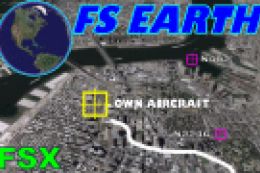
FSX Yet Another Google Earth Tool
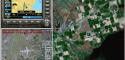
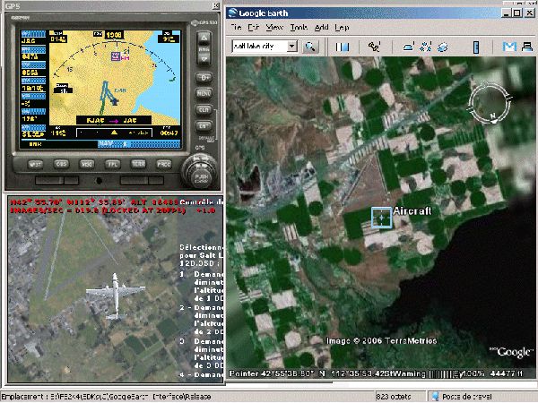
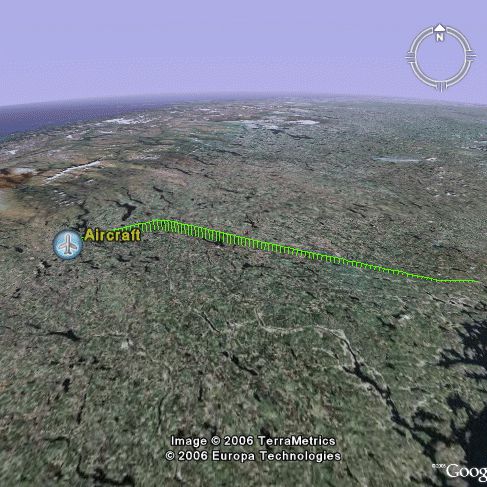
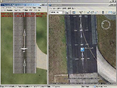
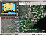
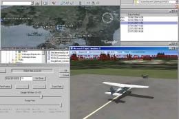
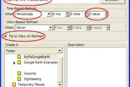
Yet Another Google Earth Tool (YAGET) bridges classic FS2004 scenery data with Google Earth, letting flights export a single position or an entire route for clear map playback. In FSX, it can also track the aircraft live, offering an easy way to review navigation, turns, and progress from above.
 3.7/5
(3)
4K downloads
Flight Simulator X
3.7/5
(3)
4K downloads
Flight Simulator X  Prepar3D
- File: yagfsx93.zip
- Size:945.83 KB
- Scan:
Clean (13d)
- Access:Freeware
- Content:Everyone
Images & Screenshots
The archive yagfsx93.zip has 15 files and directories contained within it.
File Contents
This list displays the first 500 files in the package. If the package has more, you will need to download it to view them.
| Filename/Directory | File Date | File Size |
|---|---|---|
| 3w.gif | 09.16.06 | 189.66 kB |
| examples | 10.18.06 | 0 B |
| test_.kml | 09.07.06 | 735 B |
| test_path.kml | 09.07.06 | 4.02 kB |
| install_files | 10.18.06 | 0 B |
| mfc42.dll | 08.19.04 | 1004.00 kB |
| SimConnect.dll | 10.14.06 | 37.00 kB |
| test_earth_link.kml | 09.08.06 | 342 B |
| YAGET_X_v0.9.exe | 10.18.06 | 64.00 kB |
| picture.gif | 09.07.06 | 166.17 kB |
| picture_small.gif | 09.16.06 | 12.87 kB |
| ReadMePlease.txt | 10.18.06 | 4.46 kB |
| sidetoside.gif | 09.09.06 | 86.61 kB |
| flyawaysimulation.txt | 10.29.13 | 959 B |
| Go to Fly Away Simulation.url | 01.22.16 | 52 B |
Installation Instructions
Most of the freeware add-on aircraft and scenery packages in our file library come with easy installation instructions which you can read above in the file description. For further installation help, please see our Flight School for our full range of tutorials or view the README file contained within the download. If in doubt, you may also ask a question or view existing answers in our dedicated Q&A forum.


0 comments
Leave a Response