
MSFS Bayonne/Biarritz Photogrammetry Scenery
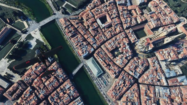
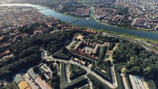
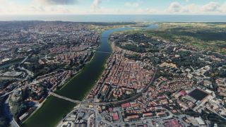
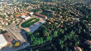
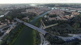
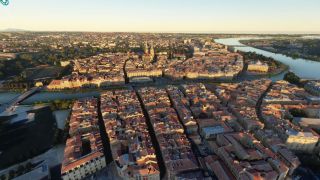
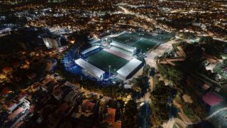
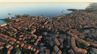
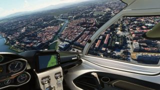
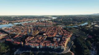
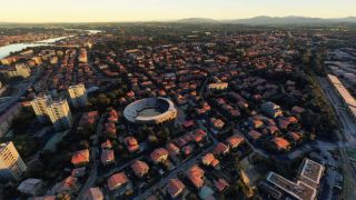
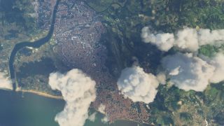
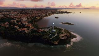
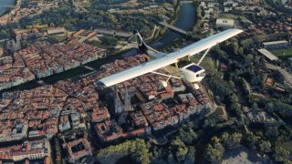
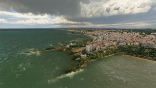
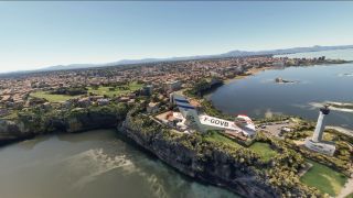
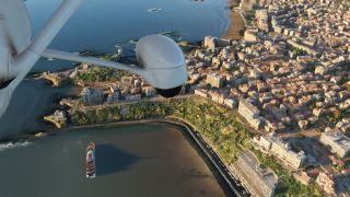
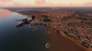
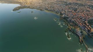
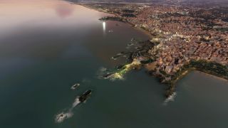
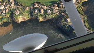
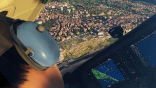
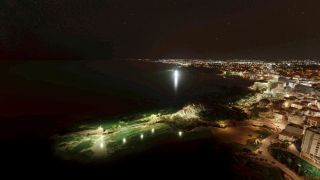
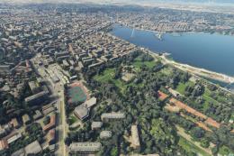
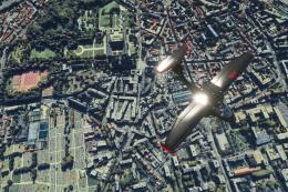
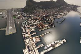
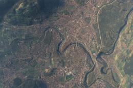
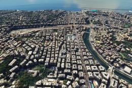
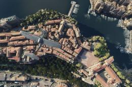
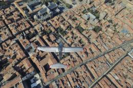
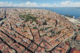
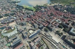
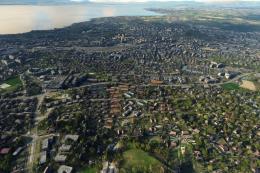
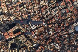
Bayonne and Biarritz come alive with detailed coastal and urban photogrammetry that adds convincing depth, color, and landmark definition for low-and-slow sightseeing or approach practice in Microsoft Flight Simulator. Built from Google Maps 3D data via Google Earth Decoder, it also uses the EDHK Lights & Objects Developers Pack for extra scene elements.
- File: bayonne-biarritz-photo-msfs.zip
- Size:2.73 GB
- Scan:
Clean (18d)
- Access:Freeware
- Content:Everyone

Expert Overview
This high-resolution photogrammetry mod brings the coastal cities of Bayonne and Biarritz to life in Microsoft Flight Simulator, offering an immersive blend of urban landscapes, rich cultural landmarks, and scenic coastlines. By leveraging Google Earth Decoder with the EDHK Lights & Objects Developers Pack, the add-on ensures detailed, realistic 3D environments and vivid color accuracy that enhance any virtual flight above southwest France.
Continual updates have refined its visual fidelity through improved colorimetry, removal of stray vegetation, and resolution of terrain anomalies near the airport. As someone who has tested it extensively, I find its seamless integration and stunning realism a standout among freeware offerings. The careful attention to detail makes this mod an essential addition for those seeking a truly authentic flying experience over these historic French locales.
This mod was installed, tested and reviewed by Adam McEnroe for Fly Away Simulation. Adam is an FS mod expert. Read his bio here.
Introducing a meticulously crafted scenery mod for Microsoft Flight Simulator, featuring the picturesque regions of Bayonne and Biarritz. This freeware enhancement is designed to elevate your virtual flight experience by integrating high-resolution, three-dimensional photogrammetry data directly from Google Maps.
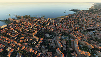 Scenery Overview
- Geographic span: Encompasses the cities of Bayonne and Biarritz located at GPS coordinates 43°29?24?N, 1°28?48?W.
- Scenery type: High-fidelity photogrammetry data ensures an immersive, true-to-life flying experience over these historic cities.
- Development credits: Utilizes Google Earth Decoder technology for realistic 3D renderings, with enhancements provided by the EDHK Lights & Objects Developers Pack.
Version Updates
Since its initial release, the scenery package has undergone several enhancements:
- v1.1: Improved colorimetry for more vivid visuals.
- v1.2 to v1.4: Continuous improvements by removing extraneous vegetation, enhancing the natural coastal landscapes.
- v1.5: Correction of a terrain anomaly near the airport, enhancing both aesthetics and usability.
Technical Insight: Photogrammetry in Simulation
Photogrammetry in flight simulation involves capturing real-world environments using photography and scanning techniques to create detailed and accurate 3D models. These models are then integrated into simulation platforms, providing pilots with an environment that mirrors the real world in remarkable detail and accuracy. This technique significantly enhances the realism of the simulator, providing users with an unparalleled immersive experience.
Nearby Airports
To fully enjoy this scenic mod, here are a few airports within the vicinity you might consider starting or concluding your flights:
- Biarritz Airport (BIQ): Located just minutes away from Biarritz, this airport offers a perfect gateway to explore the Bayonne region.
- San Sebastián Airport (EAS): Situated across the border in Spain, it provides an interesting international flight option.
- Pau Pyrénées Airport (PUF): Offers a scenic approach through the foothills of the Pyrenees, adding a challenging yet beautiful aspect to your flight simulation.
Explore Real-World Connections
The Bayonne and Biarritz regions, steeped in rich history and cultural heritage, offer a vibrant backdrop to this virtual scenery. From the renowned Biarritz beaches to the historical significance of Bayonne's old town, pilots can experience a slice of southwest France's charm, all from the comfort of their cockpit.
Installation
Simply extract the archive and copy the two folders, thalixte-bayonne and thalixte-biarritz into your MSFS community folder.

Finding the Scenery
- MSFS Format:
-
43.49294900,-1.47484100
You can copy and paste these coordinates into Microsoft Flight Simulator's search bar when starting a flight or the Developer Mode "Teleport" window to navigate directly to the center of this scenery area, airport, or landmark after you have installed this addon. - Decimal Degrees (DD):
-
Latitude: 43.492949°
Longitude: -1.474841° - Degrees, Minutes, Seconds (DMS):
-
Latitude: 43° 29' 34.616" N
Longitude: 1° 28' 29.428" W
Map Location

About the Developer: Thalixte
This mod was developed by Thalixte.
Thalixte is a developer that has focused on creating photogrammetry and scenery packs for the latest Microsoft Flight Simulator (MSFS) 2020 release. All of this developer's releases have received fantastic feedback from many users on various flight sim websites including Fly Away Simulation.
Based in France, the developer tends to focus on creation of European packs however some "further afield" packs have also been created.
Donate
The developer of this mod/add-on (Thalixte) has worked hard in order to produce this freeware creation. If you enjoy and make use of this release, why not donate to the developer to help support their projects?
Installation Instructions
Most of the freeware add-on aircraft and scenery packages in our file library come with easy installation instructions which you can read above in the file description. For further installation help, please see our Flight School for our full range of tutorials or view the README file contained within the download. If in doubt, you may also ask a question or view existing answers in our dedicated Q&A forum.


 France
0 comments
Leave a Response