
MSFS Carcassonne (Walled City) Photogrammetry Scenery
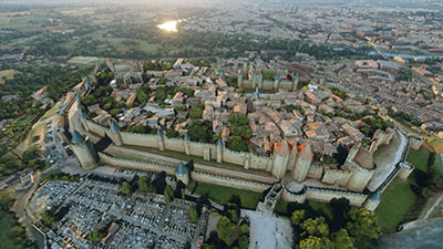
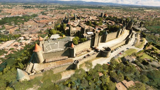
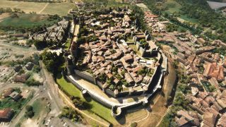
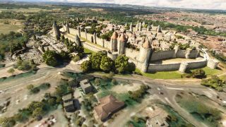
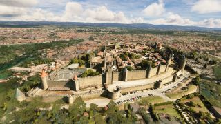
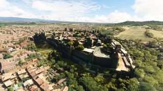
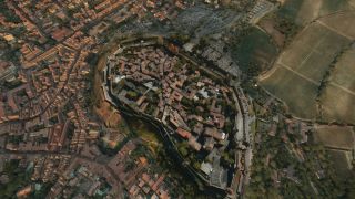
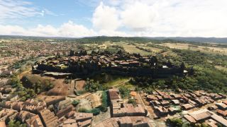
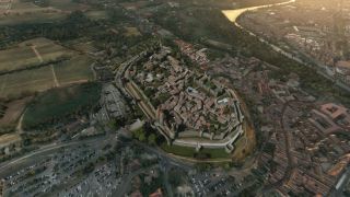
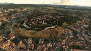
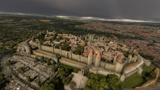
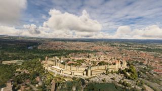
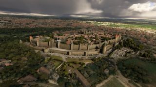
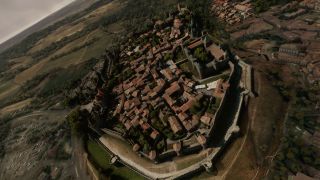
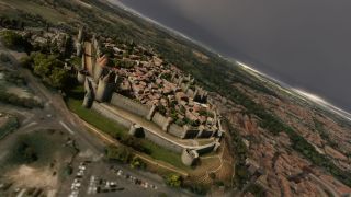
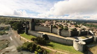
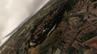
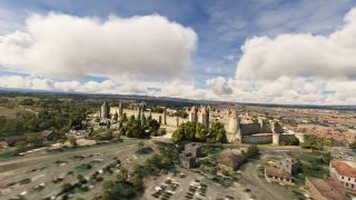
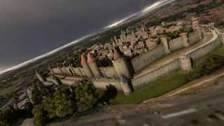
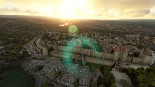
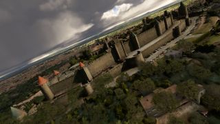
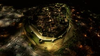
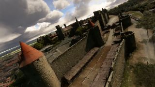
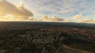
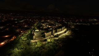
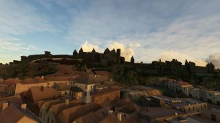
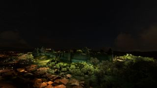
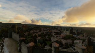
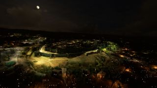
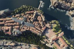
Carcassonne’s medieval walled city comes alive with high-resolution photogrammetry scenery that captures the fortress, streets, and surrounding landscape in faithful 3D detail for Microsoft Flight Simulator. Optimized textures, carefully tuned LODs, and atmospheric night lighting keep the landmark sharp from low passes to higher overflights while supporting smooth performance.
- File: msfs-carcassonne-photo.zip
- Size:424.94 MB
- Scan:
Clean (23d)
- Access:Freeware
- Content:Everyone

Expert Overview
The Carcassonne (Walled City) Photogrammetry Scenery mod for Microsoft Flight Simulator brings centuries of French heritage to life with high-resolution 3D modeling. As someone who has worked extensively with photoreal scenery, I can confirm that its fine-tuned approach seamlessly captures the fortified citadel, delivering mesmerizing architecture, lifelike textures, and fluid performance through optimized LODs and carefully balanced memory usage. Even at varying altitudes, the mod retains remarkable clarity and realism, creating a captivating vantage point for any virtual aviator.
What truly stands out is how this package leverages photogrammetry to mirror the intertwined layers of Roman and medieval influences. When combined with immersive lighting effects, the resulting experience showcases Carcassonne’s grand fortifications both day and night. Supported by nearby airports like Salvaza (LFMK), this scenery transforms routine flights into historical adventures, making it an essential addition for simmers who appreciate an authentic window into Europe’s medieval past.
This mod was installed, tested and reviewed by Adam McEnroe for Fly Away Simulation. Adam is an FS mod expert. Read his bio here.
Step into a world of historical authenticity and stunning detail with the Carcassonne (Walled City) Photogrammetry Scenery add-on for Microsoft Flight Simulator. This enhancement utilizes state-of-the-art photogrammetry technology to recreate the fortified city of Carcassonne with unparalleled accuracy.
 Scenery Overview
Located in the heart of the Aude plain, between key historical trade routes, Carcassonne's strategic importance is underscored by centuries of history. From the Romans to the Visigoths, each era has left its mark on this city. Now, flight simulation enthusiasts can explore these layers of history in Microsoft Flight Simulator, experiencing the ancient citadel as it stands today.
Key Features
- High-Resolution Photogrammetry: Delivers an exact digital duplicate of the present-day Carcassonne, including its iconic medieval fortress, the Cité de Carcassonne, restored and digitized with exquisite detail.
- Optimized Performance: The scenery package is designed with a reduced memory footprint, employing a single texture for the entire model to enhance frame rates and decrease loading times.
- Detailed LODs: Levels of Detail (LOD) ensure that the visual fidelity of the scenery is maintained from various altitudes without compromising performance.
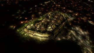
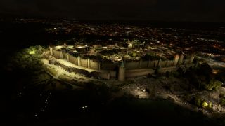
- Atmospheric Lighting: Custom light configurations that mimic real-world conditions, enhancing the realism of night flights and dusk scenarios.
Photogrammetry in Scenery Design
Photogrammetry refers to the art and science of making measurements from photographs. In the context of scenery design for flight simulators, it involves using photographic data to create 3D models of buildings and landscapes, achieving high levels of realism that traditional digital design methods cannot match.
Exploring Nearby Airfields
To fully enjoy the scenic vistas of Carcassonne, consider taking off or landing at the following nearby airports:
- Salvaza Airport (LFMK): Located just a few kilometers from the city center, it's perfect for starting or concluding your scenic flights.
- Pamiers Les Pujols Airport (LFDJ): Situated to the southwest, this airfield offers a different approach and departure route, showcasing the diverse landscapes of the region.
Installation and Credits
This scenery mod, extracted from Google Maps, brings you the most refined and accurate depiction of Carcassonne to date. All 3D modeling credits go to Google, with specific optimizations and enhancements tailored for MSFS by our dedicated team of developers.
Version 1.1 includes a critical update that resolves previously noted LOD issues, ensuring a seamless integration into your flight simulation experience.
Simply extract the archive and copy the carcassonne folder into your MSFS community folder.
Conclusion
Whether you're a history buff, a flight sim enthusiast, or a virtual tourist, the MSFS Carcassonne (Walled City) Photogrammetry Scenery mod provides an immersive and educational flying experience. Discover the richness of Carcassonne's past, right from your cockpit.
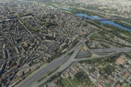
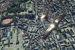
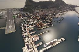
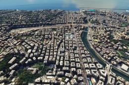
Images & Screenshots

Finding the Scenery
- MSFS Format:
-
43.20668200,2.36269700
You can copy and paste these coordinates into Microsoft Flight Simulator's search bar when starting a flight or the Developer Mode "Teleport" window to navigate directly to the center of this scenery area, airport, or landmark after you have installed this addon. - Decimal Degrees (DD):
-
Latitude: 43.206682°
Longitude: 2.362697° - Degrees, Minutes, Seconds (DMS):
-
Latitude: 43° 12' 24.055" N
Longitude: 2° 21' 45.709" E
Map Location

About the Developer: Thalixte
This mod was developed by Thalixte.
Thalixte is a developer that has focused on creating photogrammetry and scenery packs for the latest Microsoft Flight Simulator (MSFS) 2020 release. All of this developer's releases have received fantastic feedback from many users on various flight sim websites including Fly Away Simulation.
Based in France, the developer tends to focus on creation of European packs however some "further afield" packs have also been created.
Donate
The developer of this mod/add-on (Thalixte) has worked hard in order to produce this freeware creation. If you enjoy and make use of this release, why not donate to the developer to help support their projects?
Installation Instructions
Most of the freeware add-on aircraft and scenery packages in our file library come with easy installation instructions which you can read above in the file description. For further installation help, please see our Flight School for our full range of tutorials or view the README file contained within the download. If in doubt, you may also ask a question or view existing answers in our dedicated Q&A forum.


 France
0 comments
Leave a Response