
MSFS Reykjavik Complete Photogrammetry Scenery
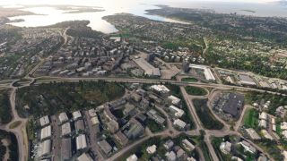
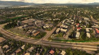
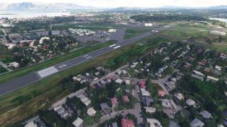
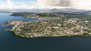
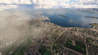
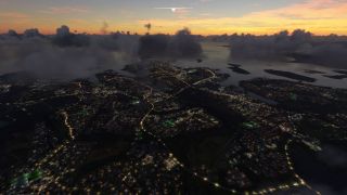
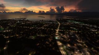
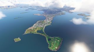
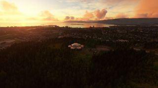
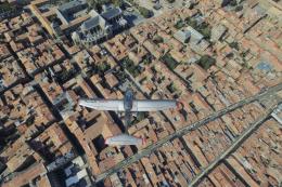
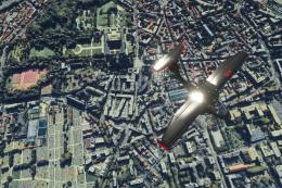
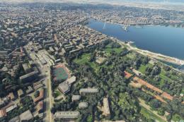
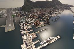
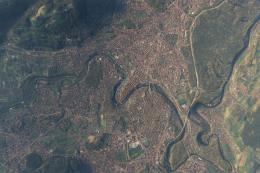
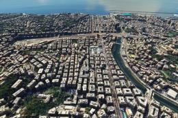
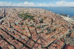
Reykjavik Complete Photogrammetry Scenery recreates Iceland’s capital with high-resolution 3D city coverage, authentic building textures, and smooth day-to-night lighting for immersive VFR sightseeing around BIRK and nearby Keflavík. Built for Microsoft Flight Simulator, it stays performance-friendly on mid-range PCs and requires Google Earth Decoder with Google Maps data.
- File: msfs-Reykjavik-photogram.zip
- Size:2.81 GB
- Scan:
Clean (17d)
- Access:Freeware
- Content:Everyone

Expert Overview
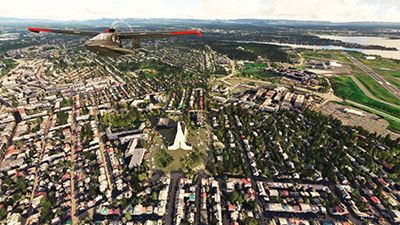
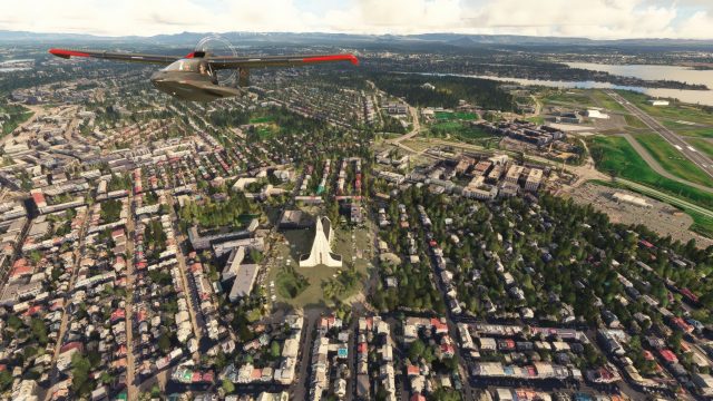
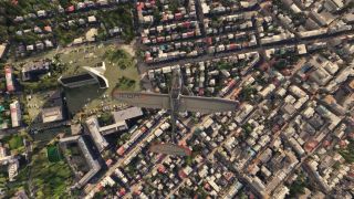
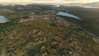
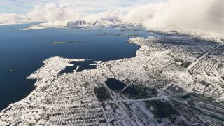
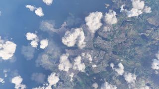
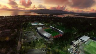
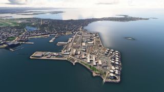
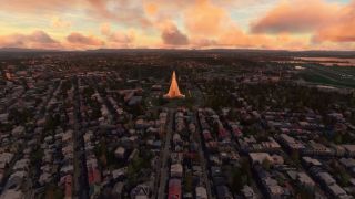
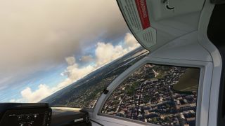
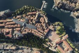
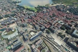
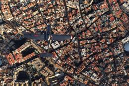
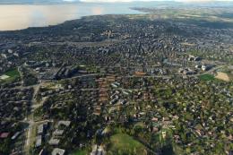
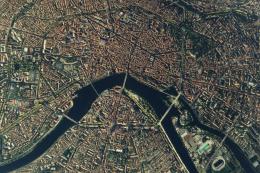
Experience a breathtaking transformation of Iceland's capital with this complete Reykjavik Photogrammetry scenery mod for Microsoft Flight Simulator. From my extensive tests, the city’s vibrant architecture, iconic landmarks, and rugged surrounding landscapes truly come alive thanks to cutting-edge photogrammetry data. Every building, street, and shoreline is accurately captured in 3D detail, while smart optimization keeps performance steady even on mid-range systems.
The attention to authenticity doesn’t stop at the city limits: Reykjavik’s close proximity to scenic airports like Keflavík (BIKF) and Vestmannaeyjar (BIVM) makes for dramatic flights showcasing shifting light conditions, diverse terrain, and the mod’s advanced geometry. Built upon Google’s impressive imagery, it offers a deeply immersive world that any serious flight simmer will appreciate. After decades in the PC flight industry, I find it a standout addition that delivers a superb blend of visual fidelity and smooth performance.
This mod was installed, tested and reviewed by Adam McEnroe for Fly Away Simulation. Adam is an FS mod expert. Read his bio here.
Immerse yourself in the rugged beauty of Iceland's capital with the Reykjavik Photogrammetry Scenery. This meticulously crafted add-on brings the vibrant cityscape and surrounding landscape of Reykjavik to life, making it a must-have for virtual pilots seeking to explore the northernmost capital of a sovereign state.
 Key Features
- High-resolution photogrammetry: Experience Reykjavik in stunning detail thanks to advanced photogrammetry technology, which constructs 3D spaces from photographic data.
- Realistic textures and models: All buildings, streets, and landmarks are represented with authentic textures, providing a lifelike virtual environment.
- Dynamic lighting effects: Enjoy a realistic day-to-night transition and see how different lighting conditions dramatically change the look and feel of the city.
- Optimized for performance: While rich in detail, the scenery is designed to be efficient, ensuring a smooth flying experience even on mid-range systems.
What is Photogrammetry?
Photogrammetry is a technique that uses photography to measure and record the exact positions of surface points. In the context of flight simulation, this means capturing high-quality images from various angles and using them to create precise and photorealistic 3D models of geographic areas and objects.
About Reykjavik
Reykjavik, the heart of Iceland's cultural, economic, and governmental life, offers more than just scenic views; it is a hub of activity and history. Established by the first permanent settlers in 874 AD, its rich history contrasts beautifully with its modern Nordic architecture and vibrant cultural scene.
Explore Nearby Airports
Maximize your flying experience by starting or ending your journey at one of the following nearby airports:
- Keflavík International Airport (BIKF) - The largest airport in Iceland, located about 50 km southwest of the capital, serves as the perfect gateway for international virtual flights.
- Reykjavík Airport (BIRK) - Located just a few kilometers from the city center, it is ideal for domestic flights and offers challenging approaches due to its proximity to mountainous terrain.
- Vestmannaeyjar Airport (BIVM) - Experience the challenge of flying to this beautiful island airport, known for its short runway and stunning approach over rugged terrain.
Credits & Acknowledgements
This scenery has been possible thanks to the fantastic foundation provided by Microsoft Flight Simulator and the innovative use of Google Maps data, extracted using the Google Earth Decoder tool. All 3D rendering credits are attributed to Google.
Installation
Simply extract the archive and copy the two folders, thalixte-reykjavik1 and thalixte-reykjavik2 into your MSFS Community folder.

Finding the Scenery
- MSFS Format:
-
64.12828800,-21.82777400
You can copy and paste these coordinates into Microsoft Flight Simulator's search bar when starting a flight or the Developer Mode "Teleport" window to navigate directly to the center of this scenery area, airport, or landmark after you have installed this addon. - Decimal Degrees (DD):
-
Latitude: 64.128288°
Longitude: -21.827774° - Degrees, Minutes, Seconds (DMS):
-
Latitude: 64° 07' 41.837" N
Longitude: 21° 49' 39.986" W
Map Location

About the Developer: Thalixte
This mod was developed by Thalixte.
Thalixte is a developer that has focused on creating photogrammetry and scenery packs for the latest Microsoft Flight Simulator (MSFS) 2020 release. All of this developer's releases have received fantastic feedback from many users on various flight sim websites including Fly Away Simulation.
Based in France, the developer tends to focus on creation of European packs however some "further afield" packs have also been created.
Donate
The developer of this mod/add-on (Thalixte) has worked hard in order to produce this freeware creation. If you enjoy and make use of this release, why not donate to the developer to help support their projects?
Installation Instructions
Most of the freeware add-on aircraft and scenery packages in our file library come with easy installation instructions which you can read above in the file description. For further installation help, please see our Flight School for our full range of tutorials or view the README file contained within the download. If in doubt, you may also ask a question or view existing answers in our dedicated Q&A forum.


 Iceland
1 comments
Leave a ResponseThe content of the comments below are entirely the opinions of the individual posting the comment and do not always reflect the views of Fly Away Simulation. We moderate all comments manually before they are approved.
I have been waiting for something to put a smile on my face coming out of msfs 24 since installing it.
This is my first scenery mod and man.... what a view :)
I usually just fly around and look at the countryside and POI, but the views from Reykjavik are just incredible.
The author mentioned in the description about optimizing the way the mod was created to provide smoother flights (always wanted to see the landscape without stuttering).
I hope there are more Icelandic scenery from this same guy so I can check out the rest of the island. Maybe get an update on this mod to include that active volcano....