FSX Deenethrope Scenery
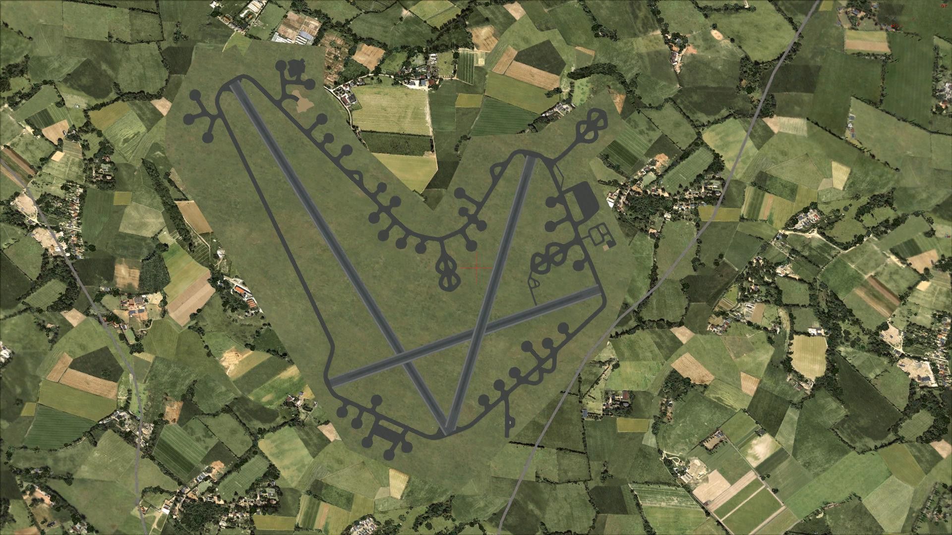
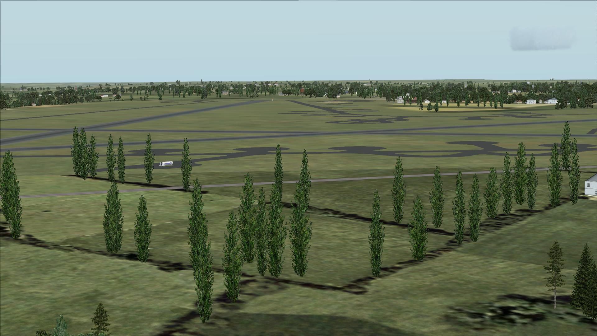
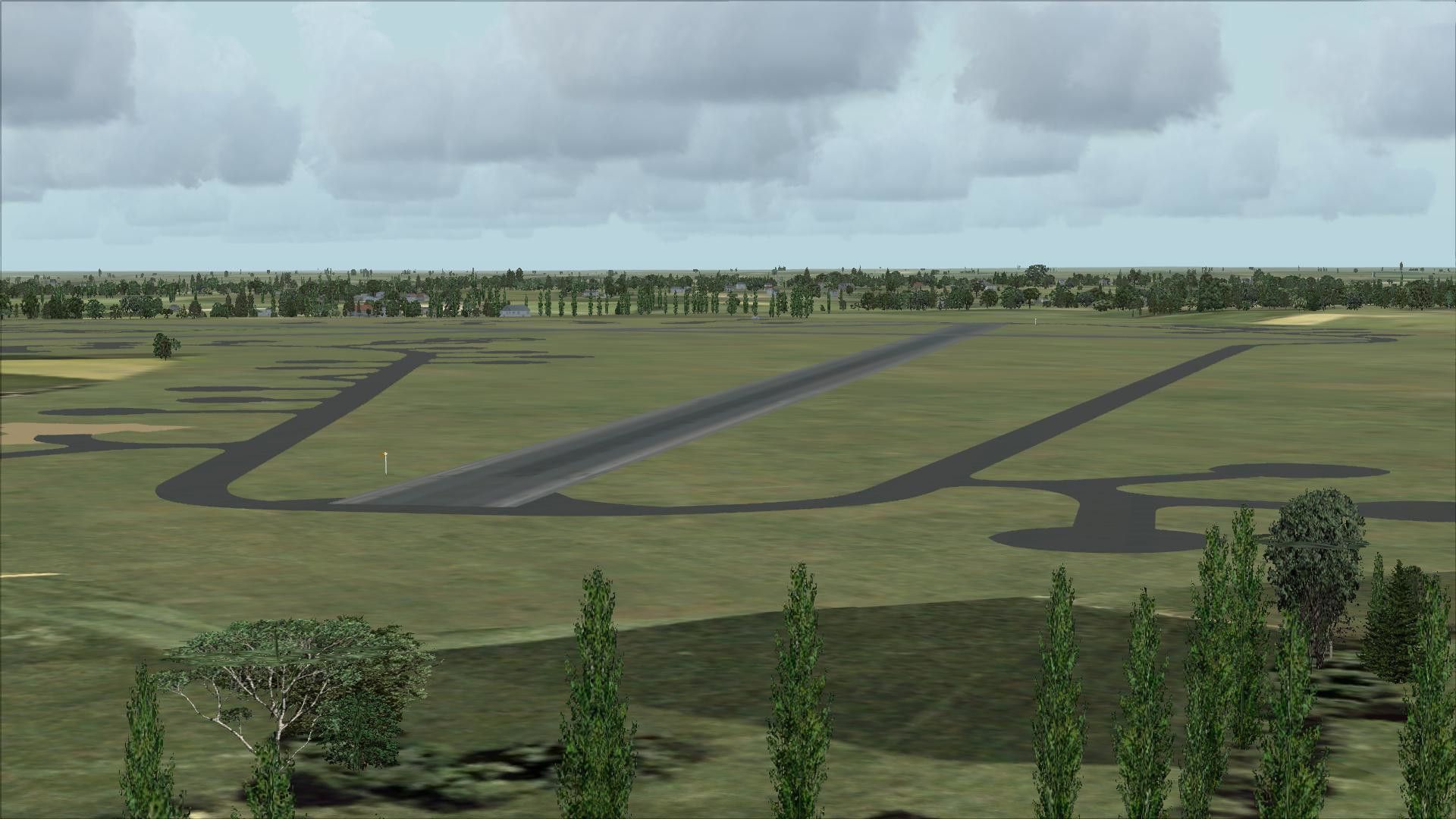
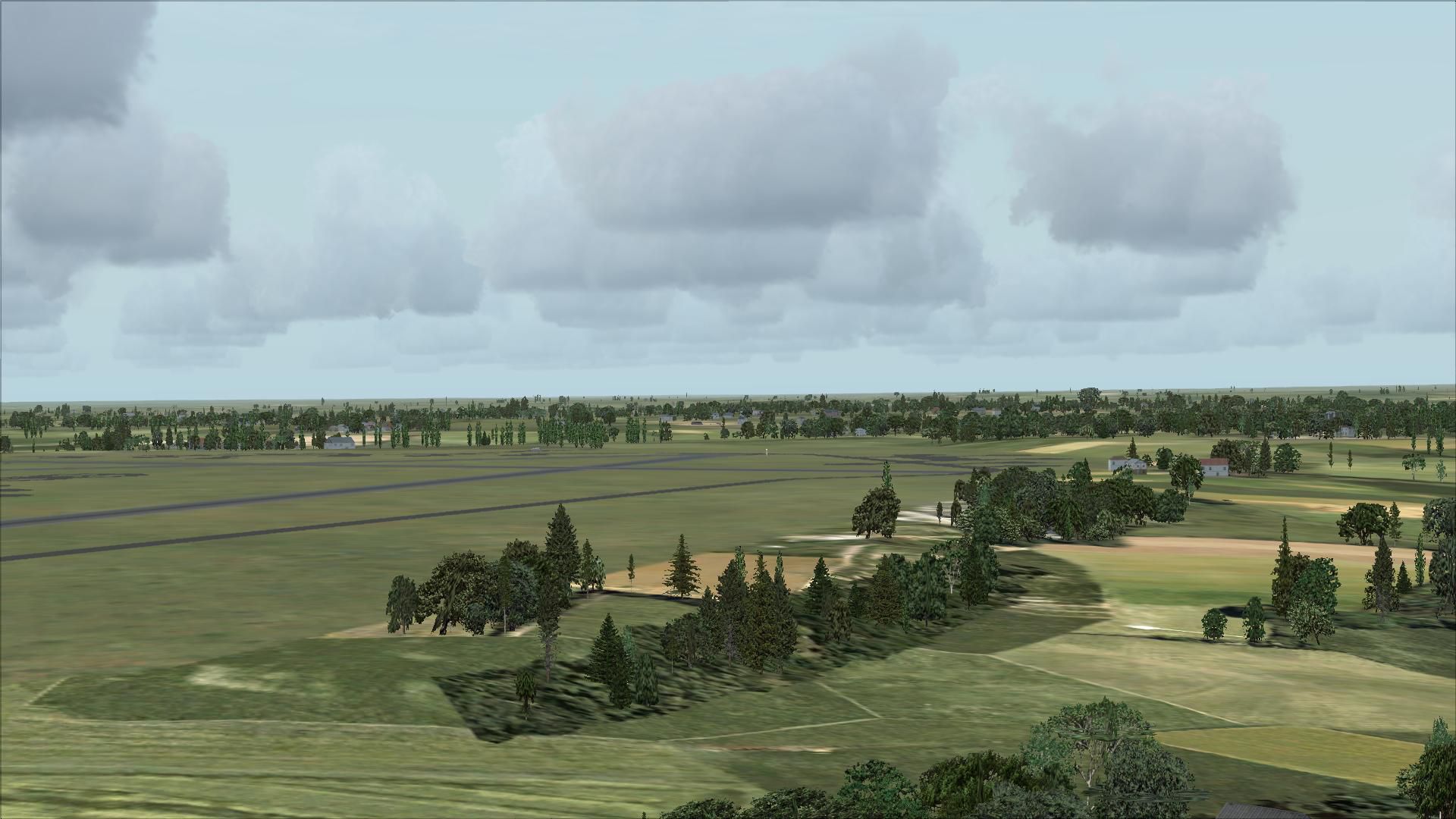
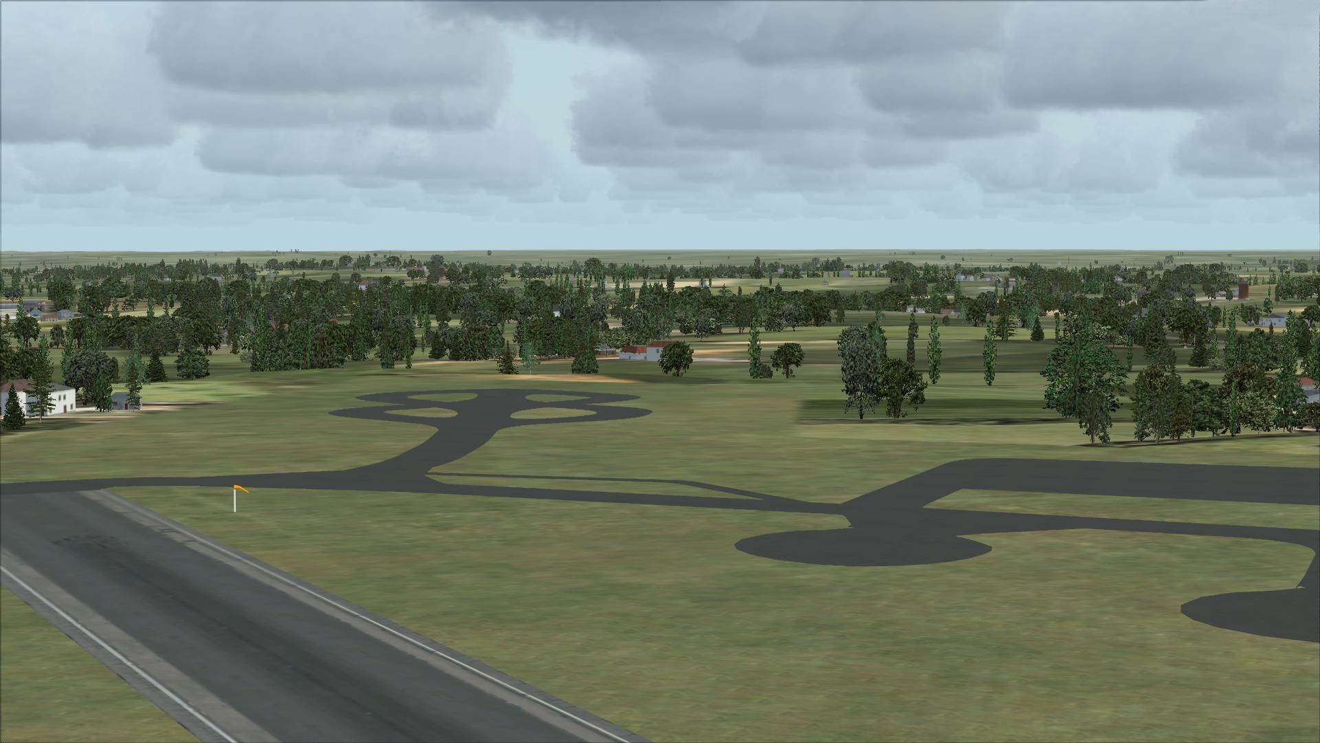
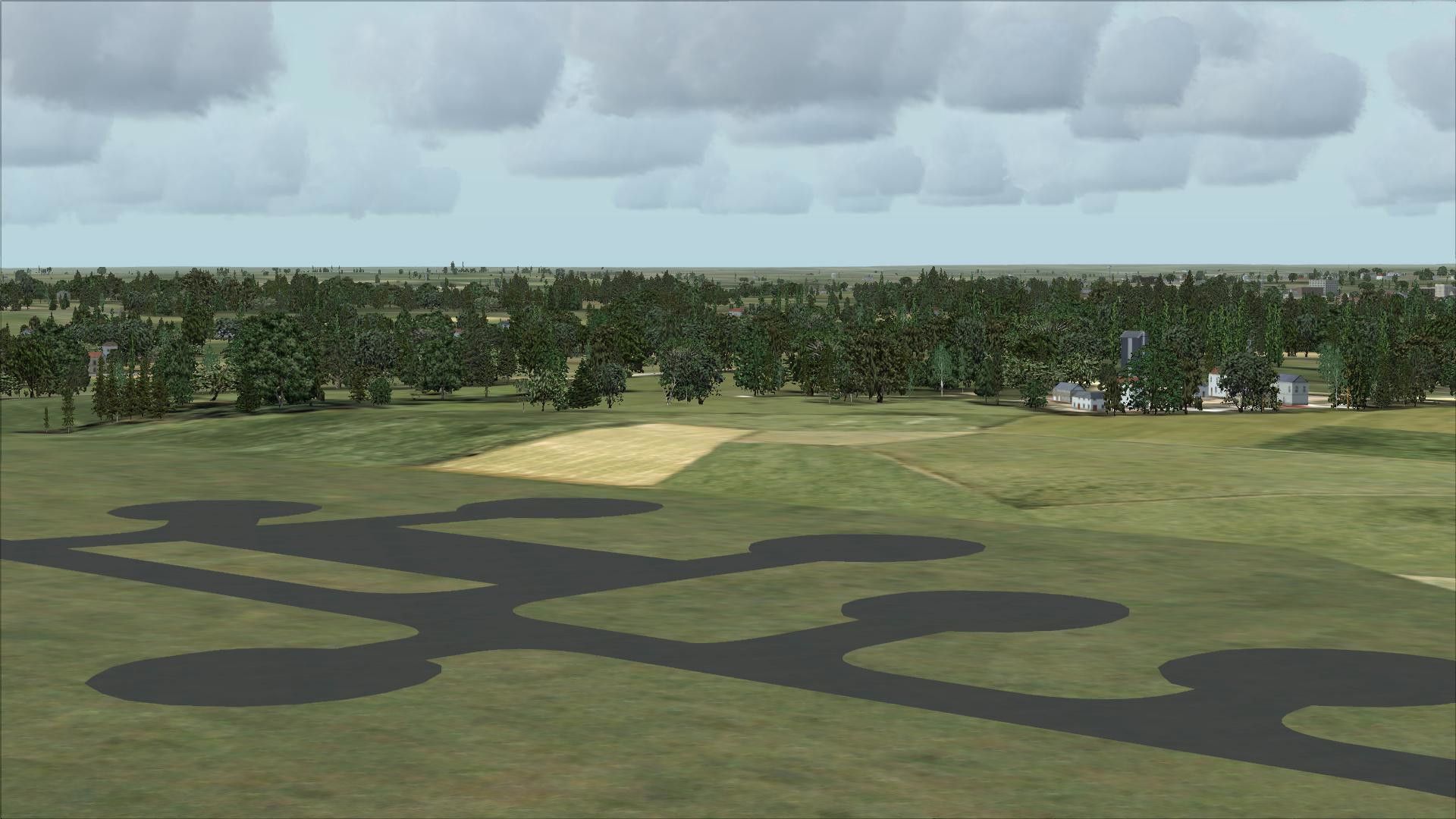
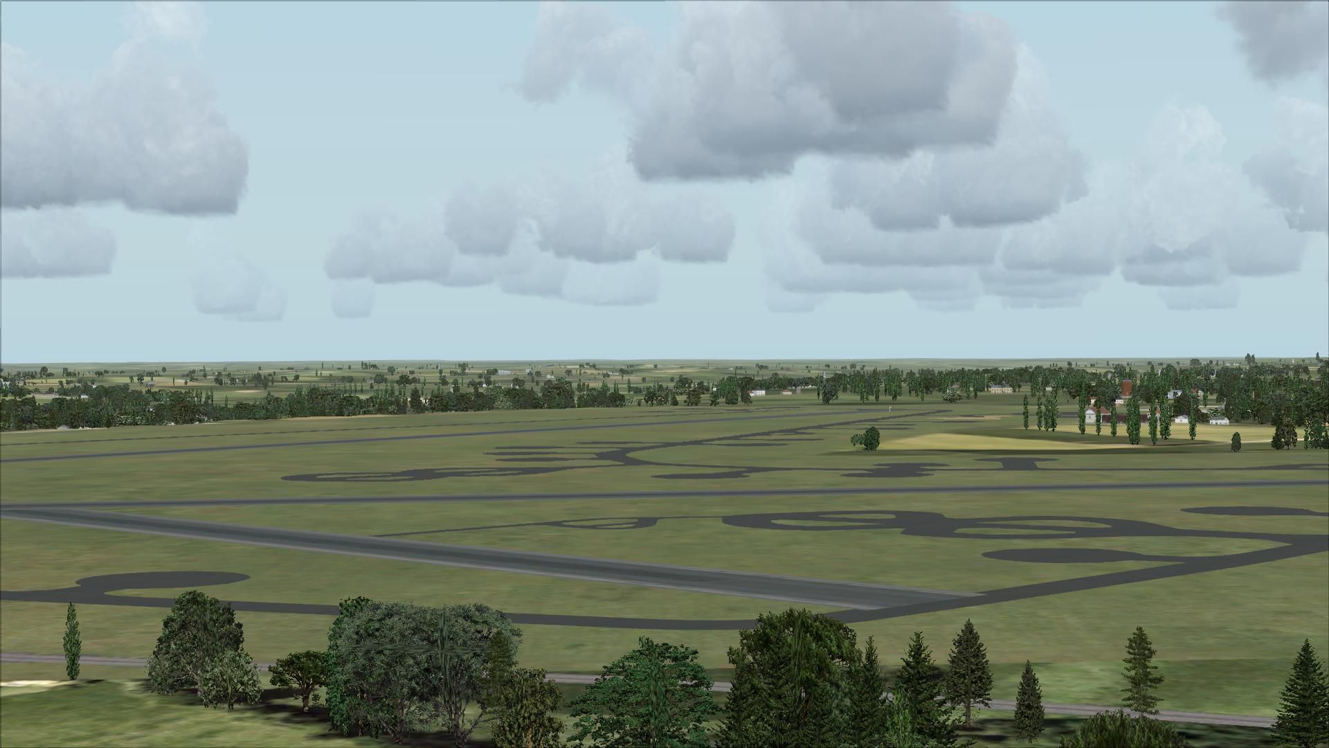
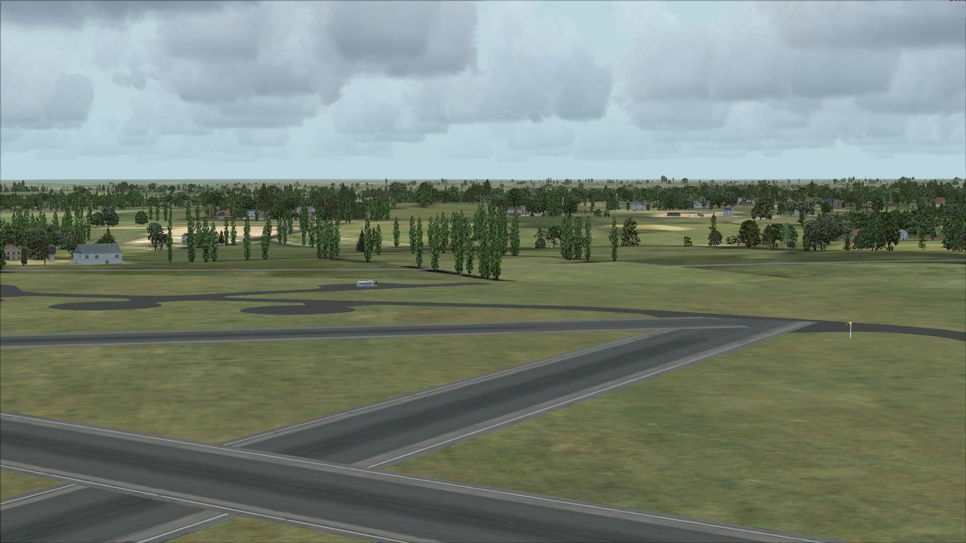
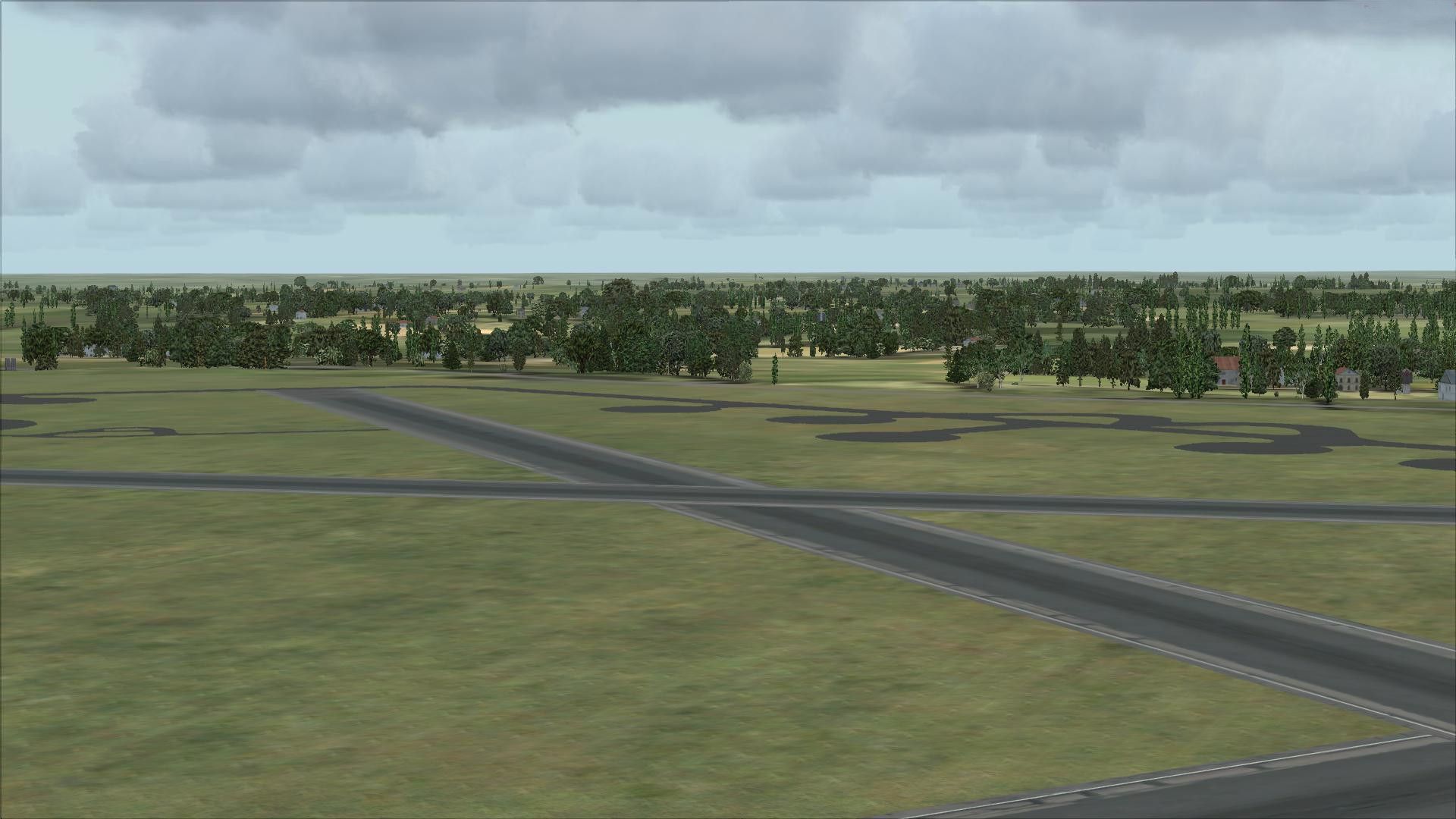
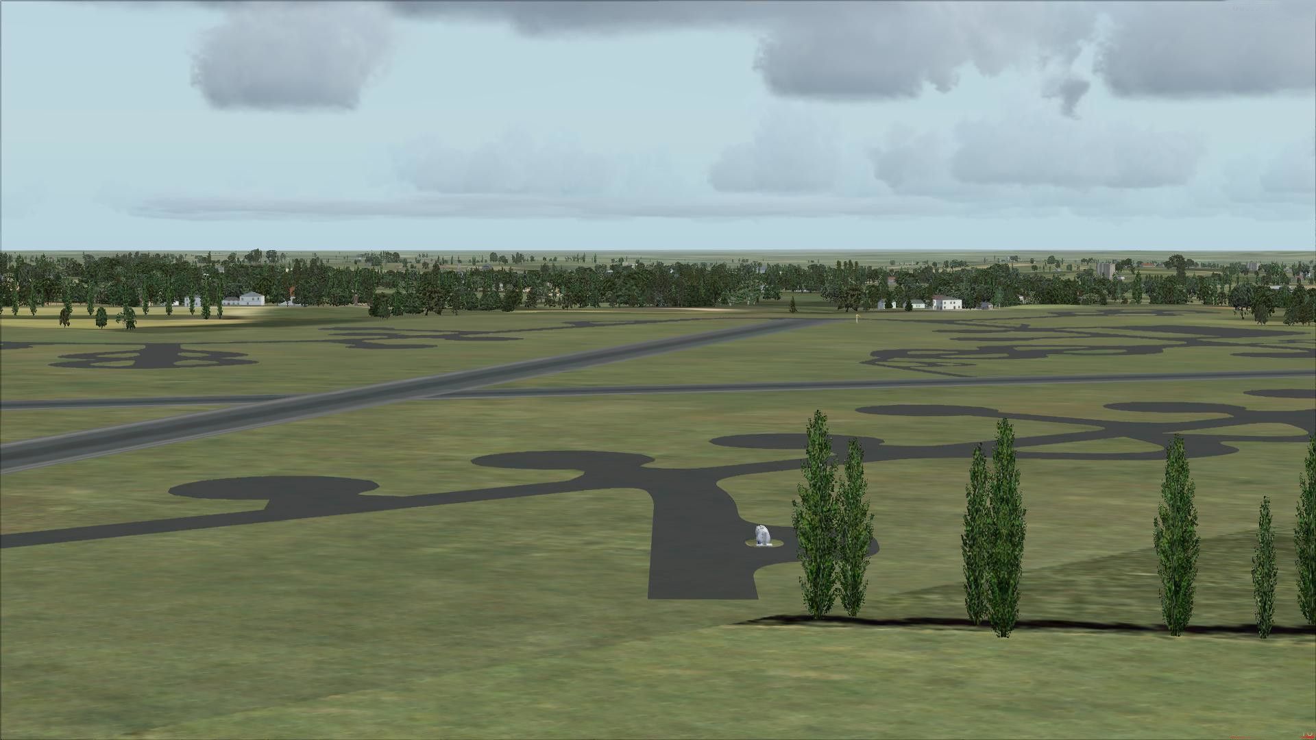
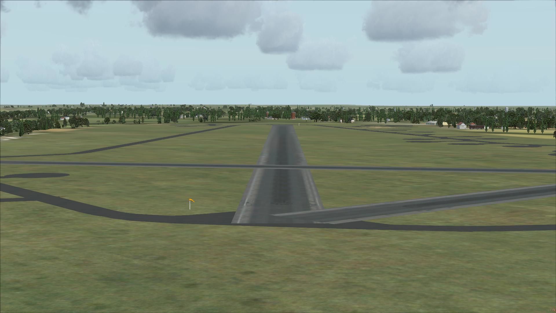
Deenethorpe airfield scenery recreates the 1943 USAAF Station 128 in Northamptonshire, home to the 401st Bombardment Group’s B-17 operations, with period-appropriate layout and buildings placed to match real-world positioning. Built with Airport Design Editor for FSX, it requires Ted Andrews’s RAF Hangars Library and RAF Buildings objects.

 United Kingdom
 - File: uk01ades.zip
- Size:4.77 MB
- Scan:
Clean (30d)

- Access:Freeware
- Content:Everyone
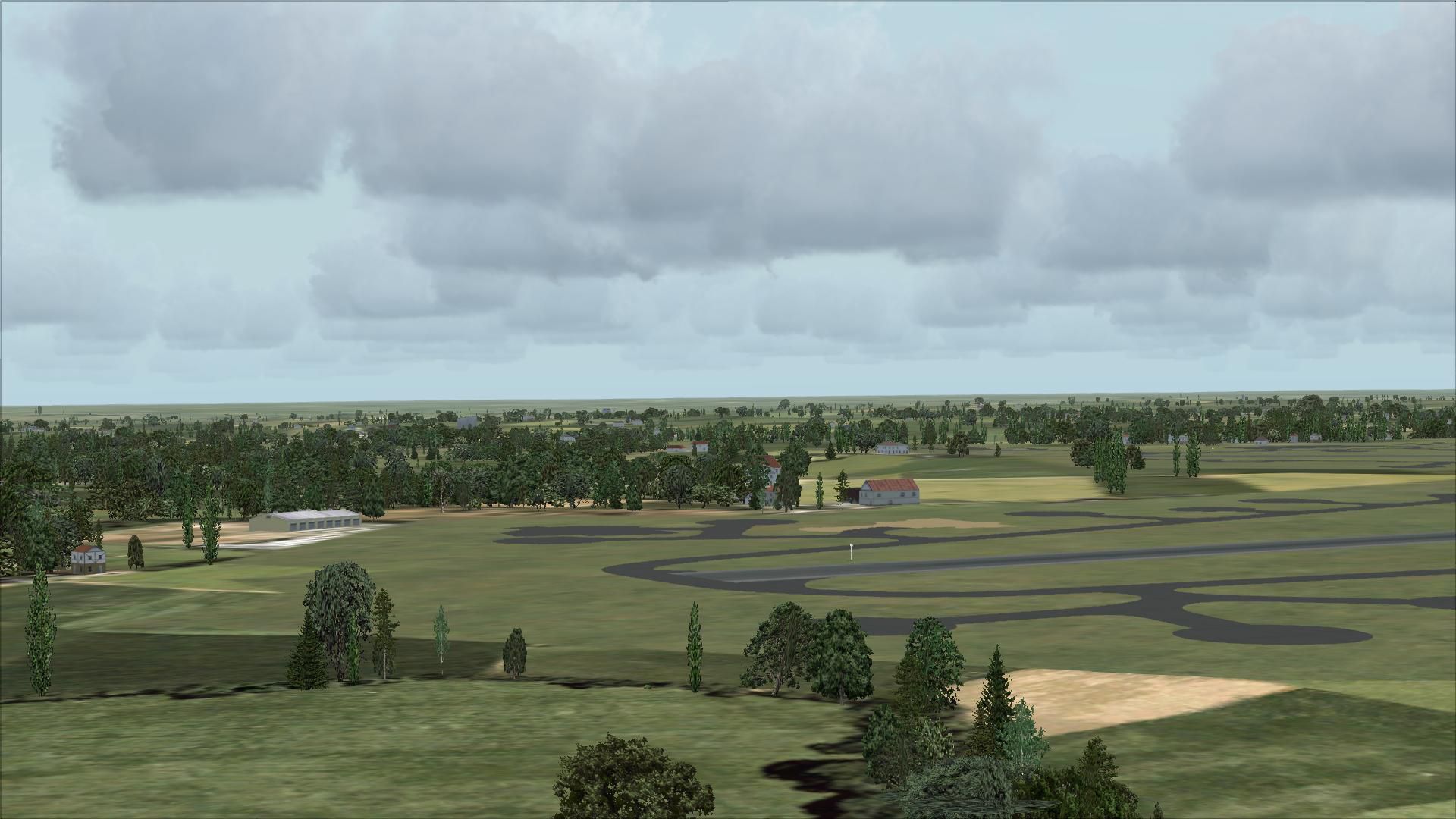
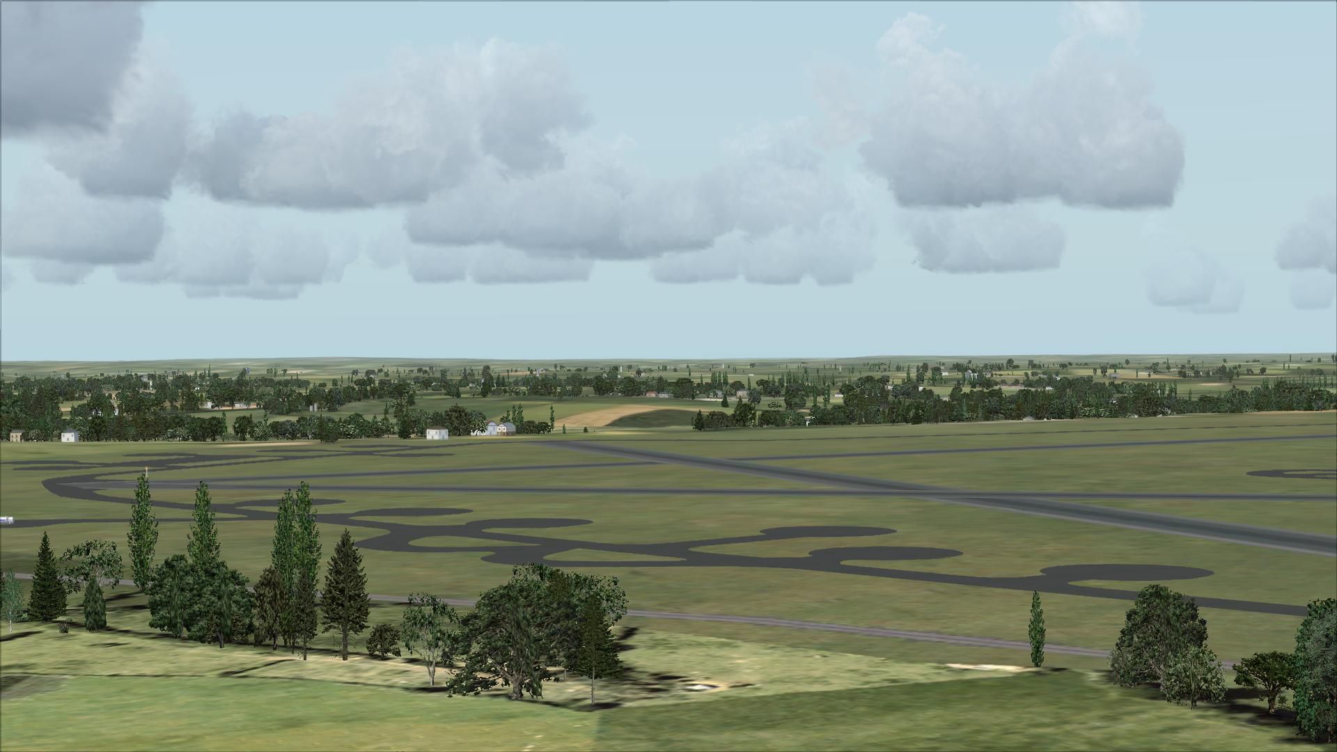
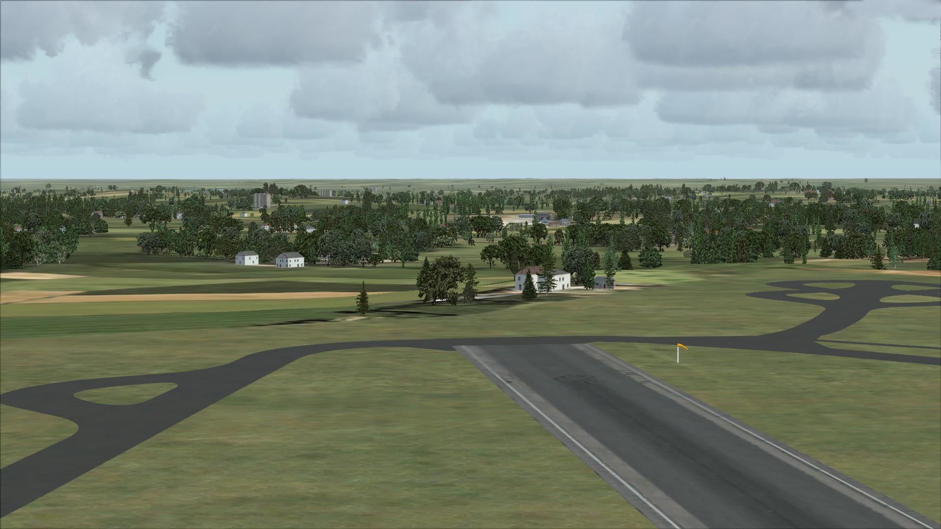
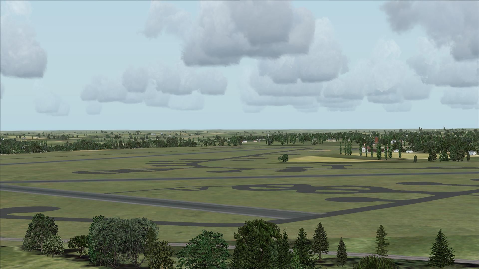
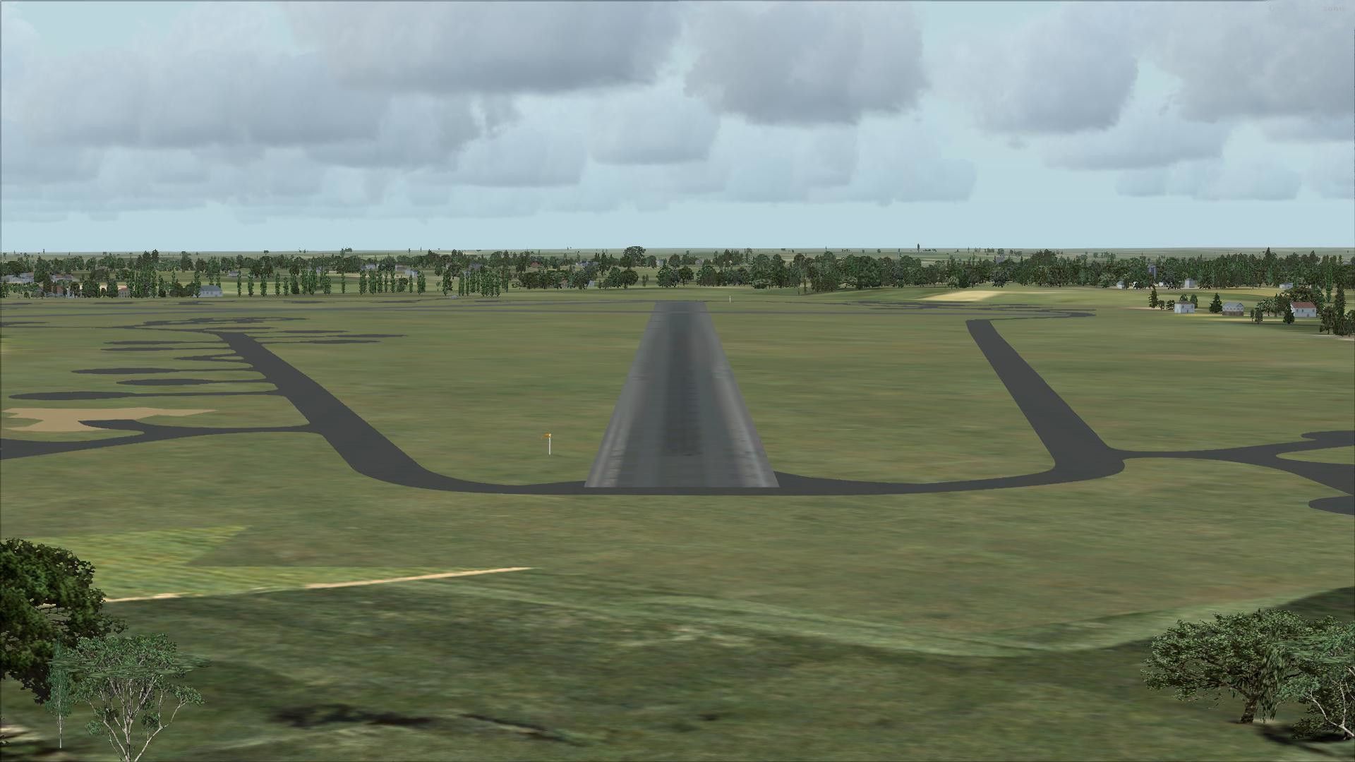
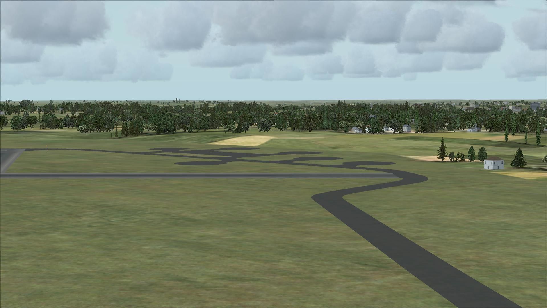
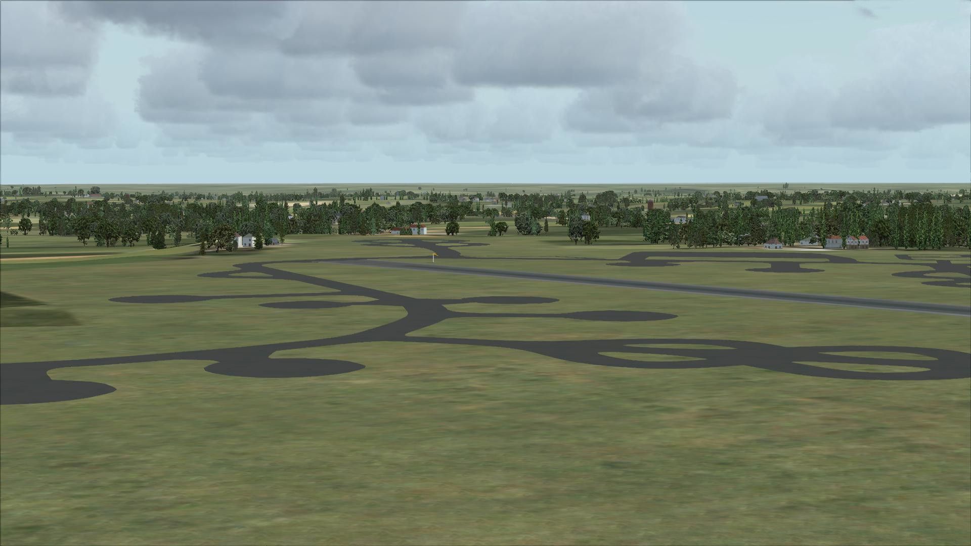
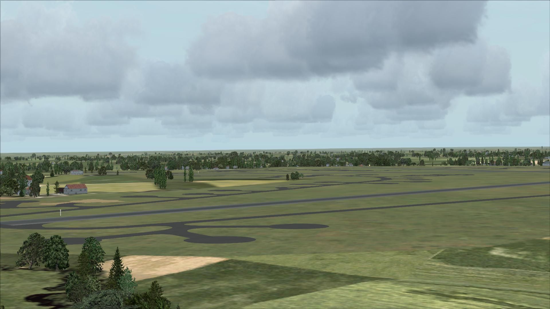
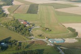
Deenethrope, UK, a WWII airfield constructed in 1943 and allocated to the USAAF Eighth Air Force and given USAAF designation Station 128. By Scotty Berge.
Thank you for downloading my second attempt at a WWII airfield. Deenethorpe was constructed in 1943 and was allocated to the United States Army Air Force Eighth Air Force. It was assigned USAAF designation Station 128. With the opening of the airfield in October 1943, the 401st Bombardment Group (Heavy), arrived from Great Falls AAB, Montana, in November. The 401st was assigned to the 94th Combat Bombardment Wing of the 1st Bombardment Division. Its tail code was Triangle-S.
The 401st Bomb Group consisted of the following operational squadrons flying B-17s :
612th Bomb Squadron (SC)
613th Bomb Squadron (IN)
614th Bomb Squadron (IW)
615th Bomb Squadron (IY)
The 401st BG operated chiefly against strategic targets, bombing industries, submarine facilities, shipyards, missile sites, marshalling yards, and airfields; beginning in October 1944, concentrated on oil reserves. The Group received a Distinguished Unit Citation for striking telling blows against German aircraft production on 11 January and 20 February 1944.
This is for FSX and you will need to have Ted Andrews's RAF Hangars Library and his other great RAF Buildings. Search the FSX section for "Ted Andrews" - you'll find loads of his scenery object files for RAF airfields. Follow his instructions on how to install them.
First after you unzip this folder you will see 2 files called:
UK01_ADE_SCOTTY.BGL
UK01_ADE_SCOTTY_CVX.bgl
Move these 2 files into your addon scenery scenery folder. The path will look like this:
C:\Program Files\Microsoft Games\Microsoft Flight Simulator X\Addon Scenery\scenery.
Start up FSX and then go into your settings, Scenery Library then once the scenery window pops up just click ok. The scenery will load automaticly.
This scenery was created by me using the great program Airport Desing Editor (ADE) and with help from Ian P.
I used the scenery from just flights VFR Scenery volume 1 and 2 to get the right positioning of the field.
Scotty Berge
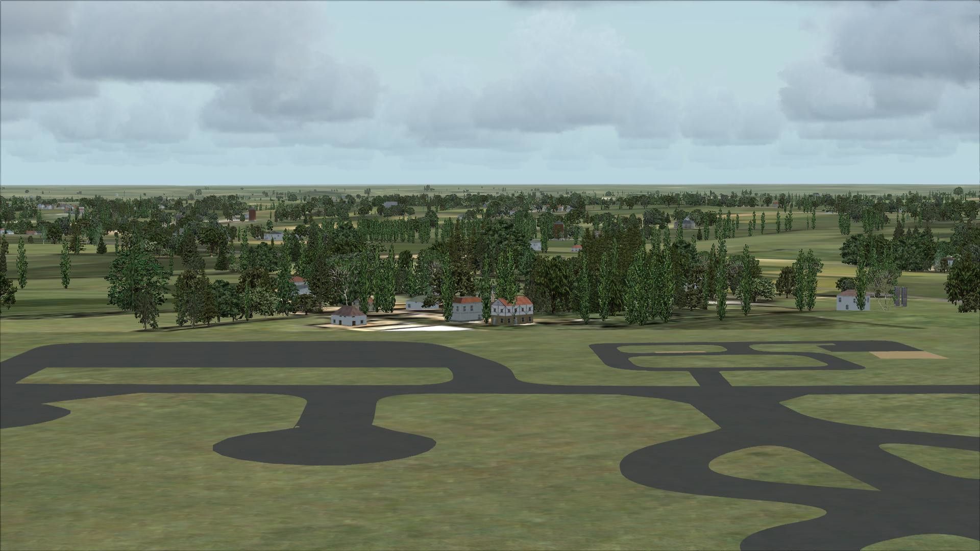
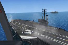
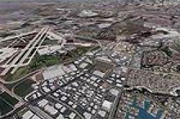
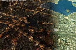
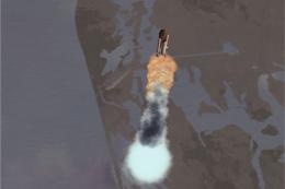
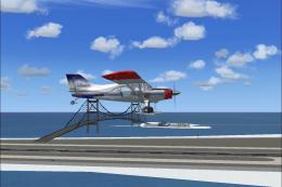
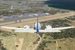
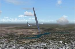
Images & Screenshots

Finding the Scenery
- FSX/Prepar3D Coordinates:
-
52.50527800,-0.52833300
Use the downloaded flight plan file by launching FSX/P3D, selecting "Load Flight Plan" in the flight planner, and choosing the .pln file. Your aircraft will be positioned directly at the add-on’s location. - Decimal Degrees (DD):
-
Latitude: 52.505278°
Longitude: -0.528333° - Degrees, Minutes, Seconds (DMS):
-
Latitude: 52° 30' 19.001" N
Longitude: 0° 31' 41.999" E
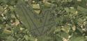
Map Location
The archive uk01ades.zip has 26 files and directories contained within it.
File Contents
This list displays the first 500 files in the package. If the package has more, you will need to download it to view them.
| Filename/Directory | File Date | File Size |
|---|---|---|
| UK01_ADE_SCOTTY.BGL | 01.15.09 | 40.21 kB |
| UK01_ADE_SCOTTY_CVX.bgl | 01.15.09 | 284 B |
| readme.txt | 01.15.09 | 2.14 kB |
| flyawaysimulation.txt | 10.29.13 | 959 B |
| Go to Fly Away Simulation.url | 01.22.16 | 52 B |
| Screenshots | 08.21.19 | 0 B |
| screen-1.jpg | 08.20.19 | 250.50 kB |
| screen-10.jpg | 08.20.19 | 261.15 kB |
| screen-11.jpg | 08.20.19 | 277.68 kB |
| screen-12.jpg | 08.20.19 | 243.82 kB |
| screen-13.jpg | 08.20.19 | 298.02 kB |
| screen-14.jpg | 08.20.19 | 178.16 kB |
| screen-15.jpg | 08.20.19 | 204.72 kB |
| screen-16.jpg | 08.20.19 | 213.67 kB |
| screen-17.jpg | 08.20.19 | 199.57 kB |
| screen-18.jpg | 08.20.19 | 204.02 kB |
| screen-19.jpg | 08.20.19 | 198.47 kB |
| screen-2.jpg | 08.20.19 | 211.62 kB |
| screen-20.jpg | 08.20.19 | 254.84 kB |
| screen-3.jpg | 08.20.19 | 254.85 kB |
| screen-4.jpg | 08.20.19 | 501.07 kB |
| screen-5.jpg | 08.20.19 | 269.01 kB |
| screen-6.jpg | 08.20.19 | 274.25 kB |
| screen-7.jpg | 08.20.19 | 295.73 kB |
| screen-8.jpg | 08.20.19 | 237.13 kB |
| screen-9.jpg | 08.20.19 | 254.15 kB |
Installation Instructions
Most of the freeware add-on aircraft and scenery packages in our file library come with easy installation instructions which you can read above in the file description. For further installation help, please see our Flight School for our full range of tutorials or view the README file contained within the download. If in doubt, you may also ask a question or view existing answers in our dedicated Q&A forum.


0 comments
Leave a Response