FSX Mohawk Valley Airport Scenery
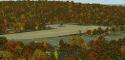
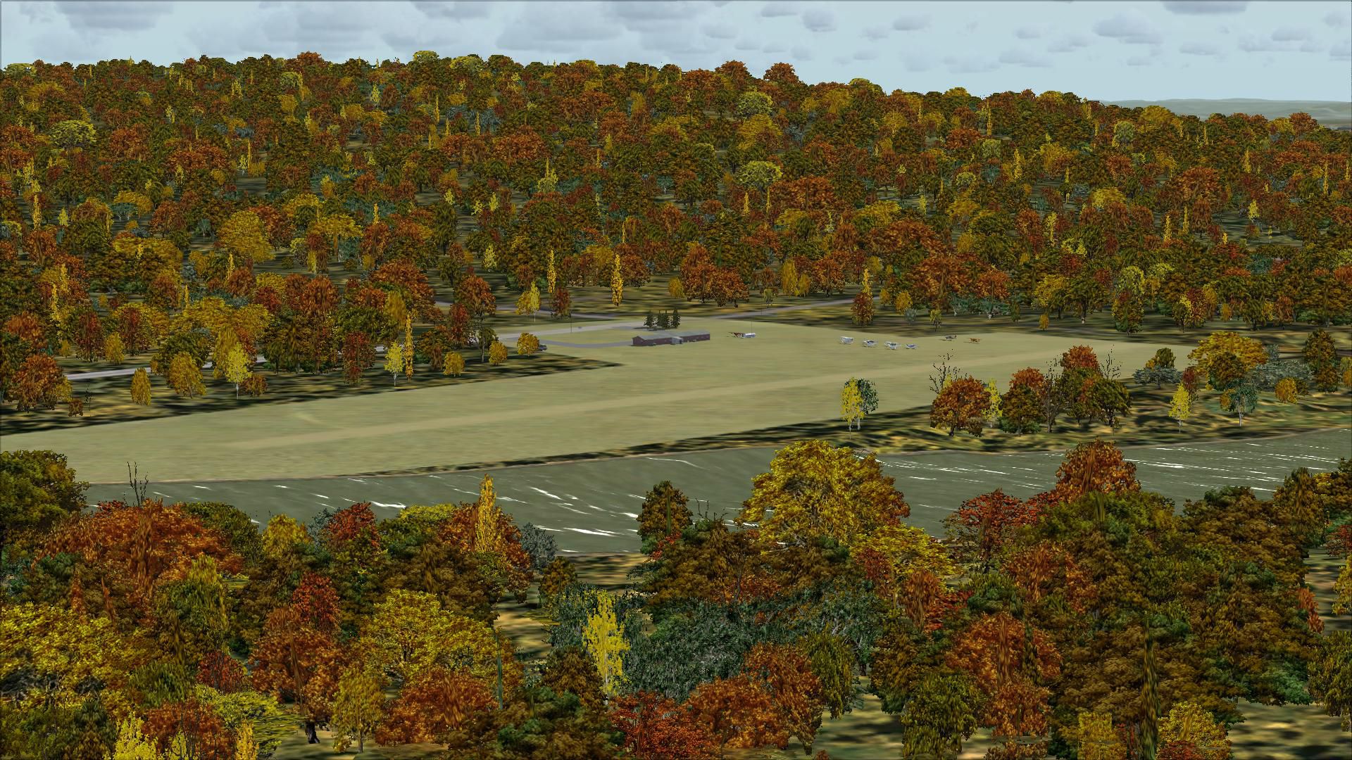
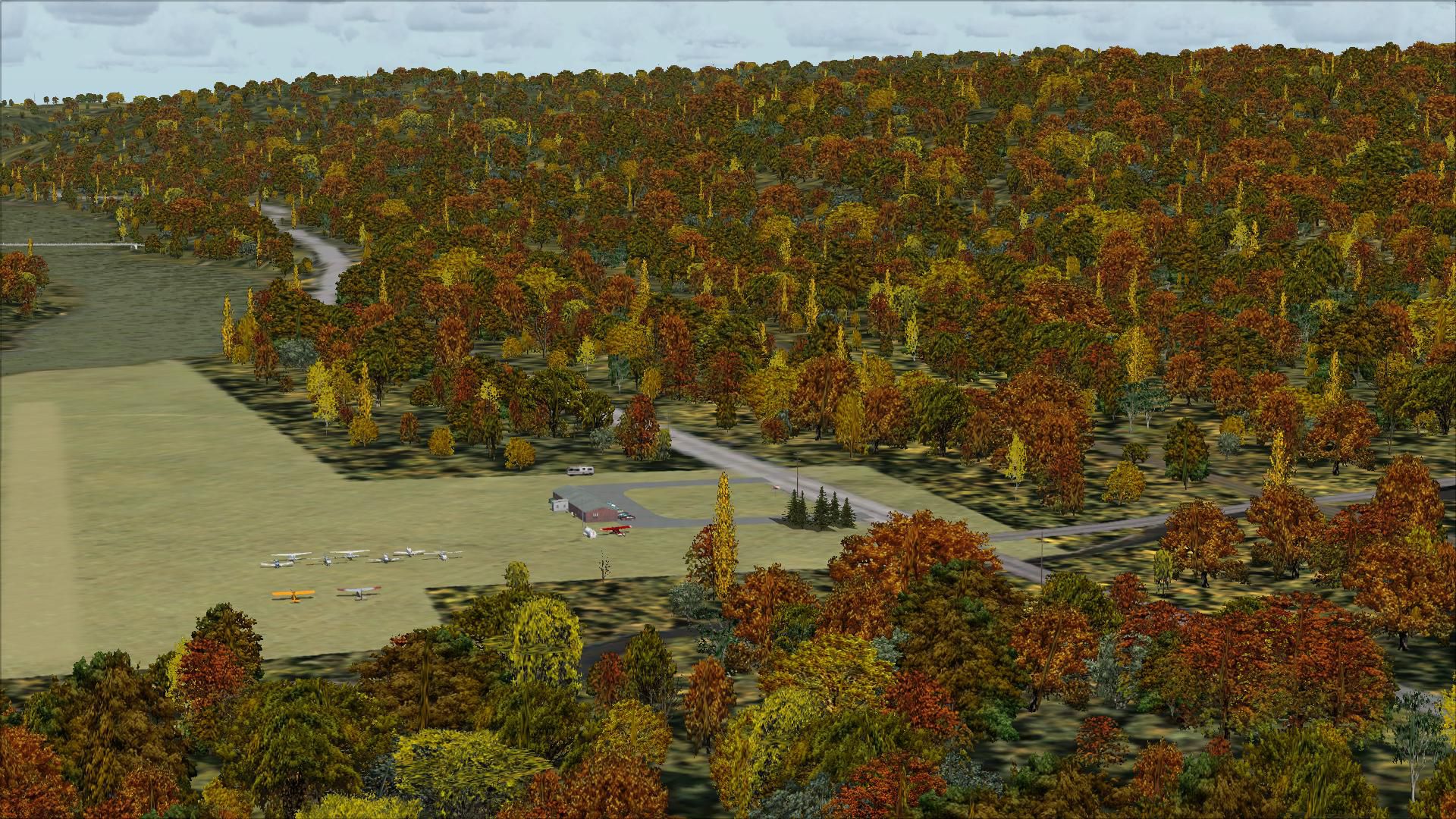
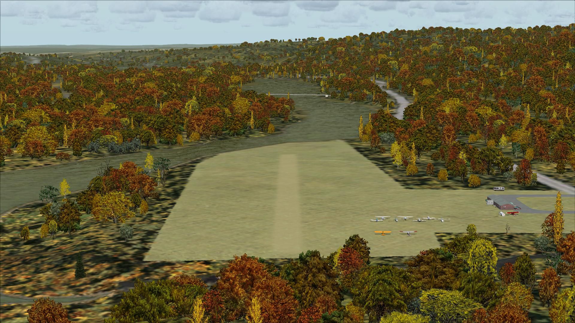
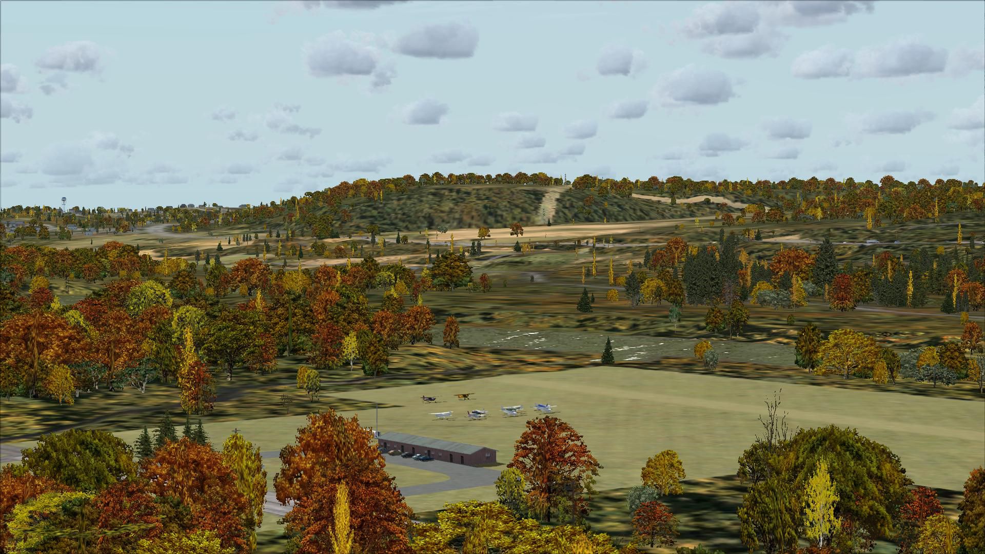
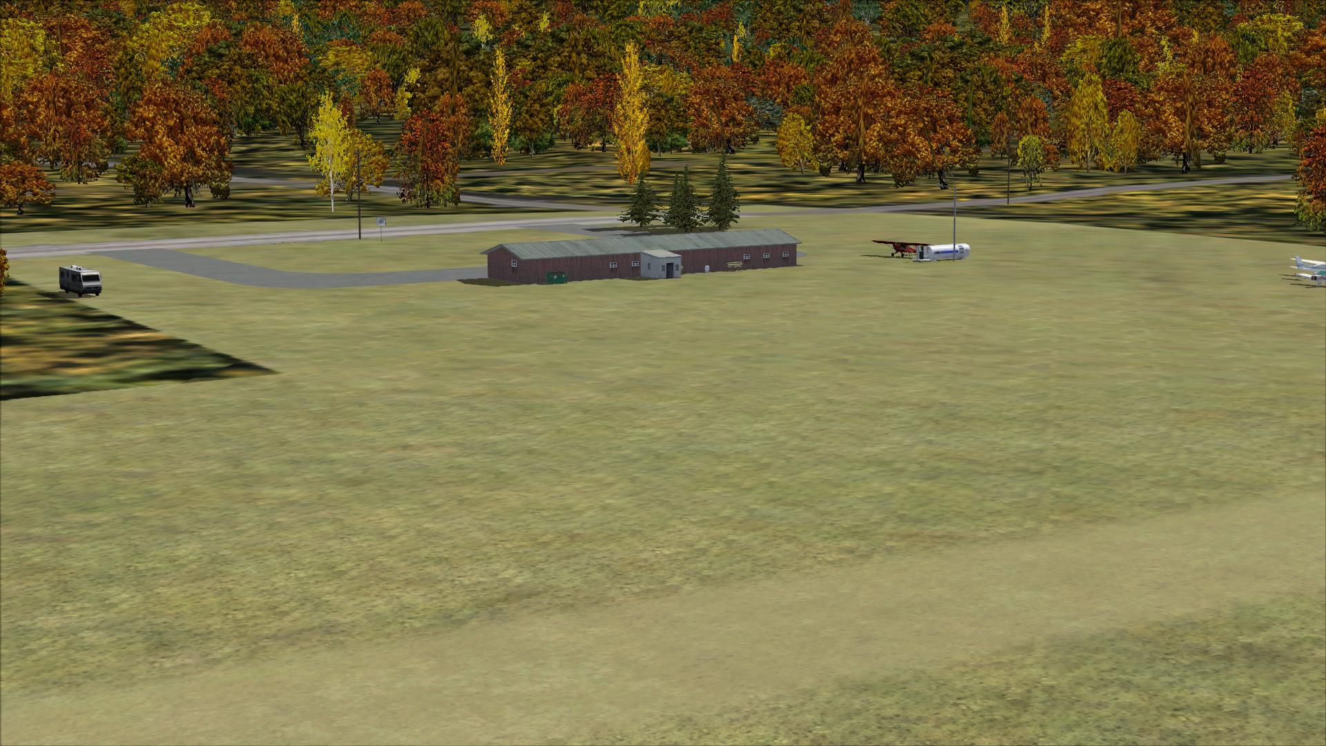
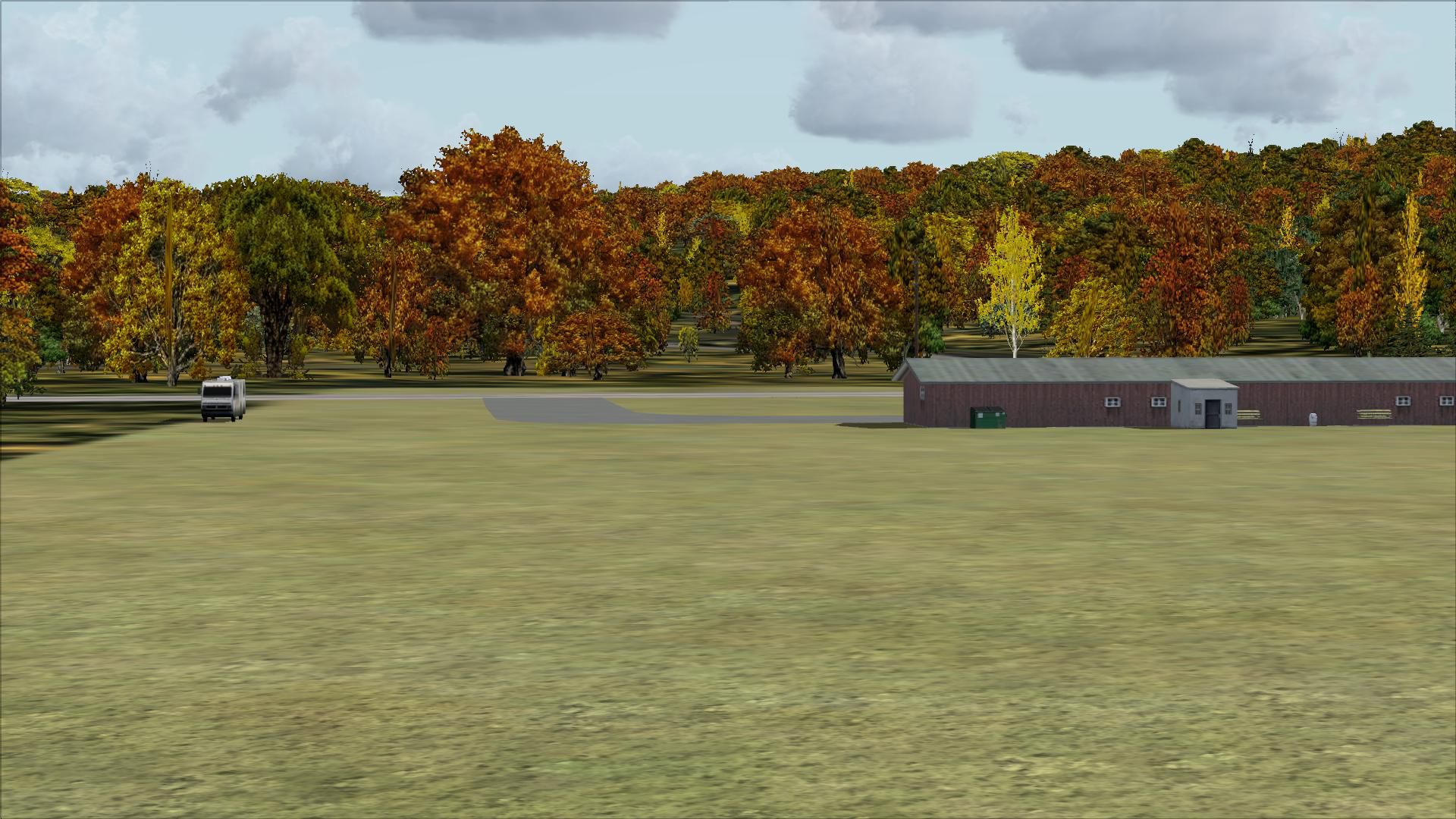
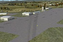
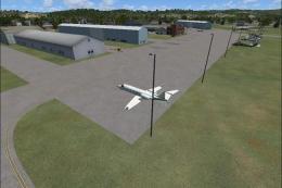
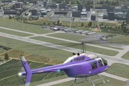
Mohawk Valley Airport (K13) scenery for FSX refreshes the Scotia, New York strip with a corrected runway alignment, improved building modeling, gravel driveways and parking, fuel station details, signage, and stock-object static aircraft and vehicles. The layout suits Ultimate Terrain X but requires no extra libraries, delivering a more believable Mohawk River departure environment.

 United States of America
 - File: mohawkv.zip
- Size:7.87 MB
- Scan:
Clean (14d)

- Access:Freeware
- Content:Everyone
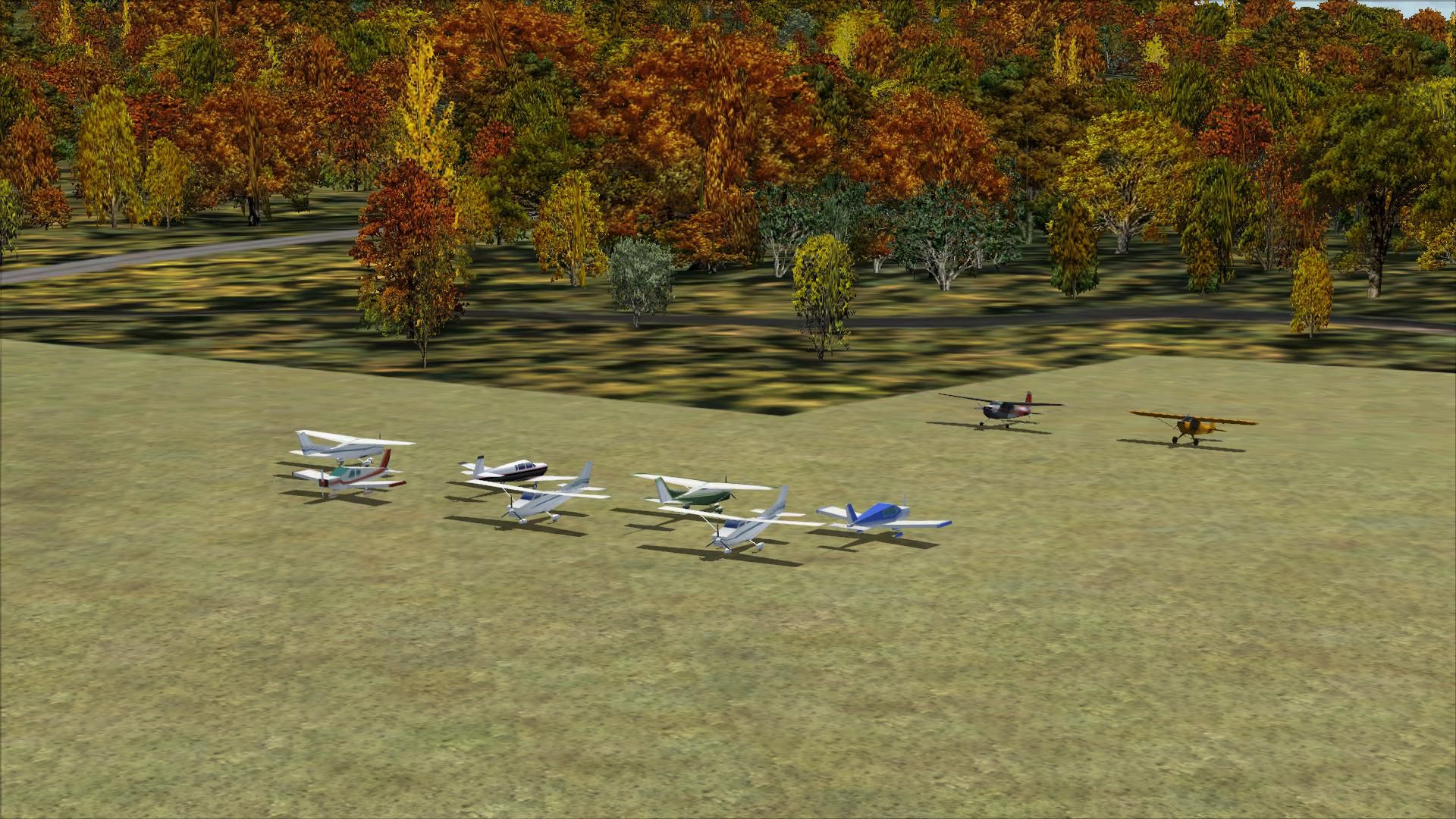
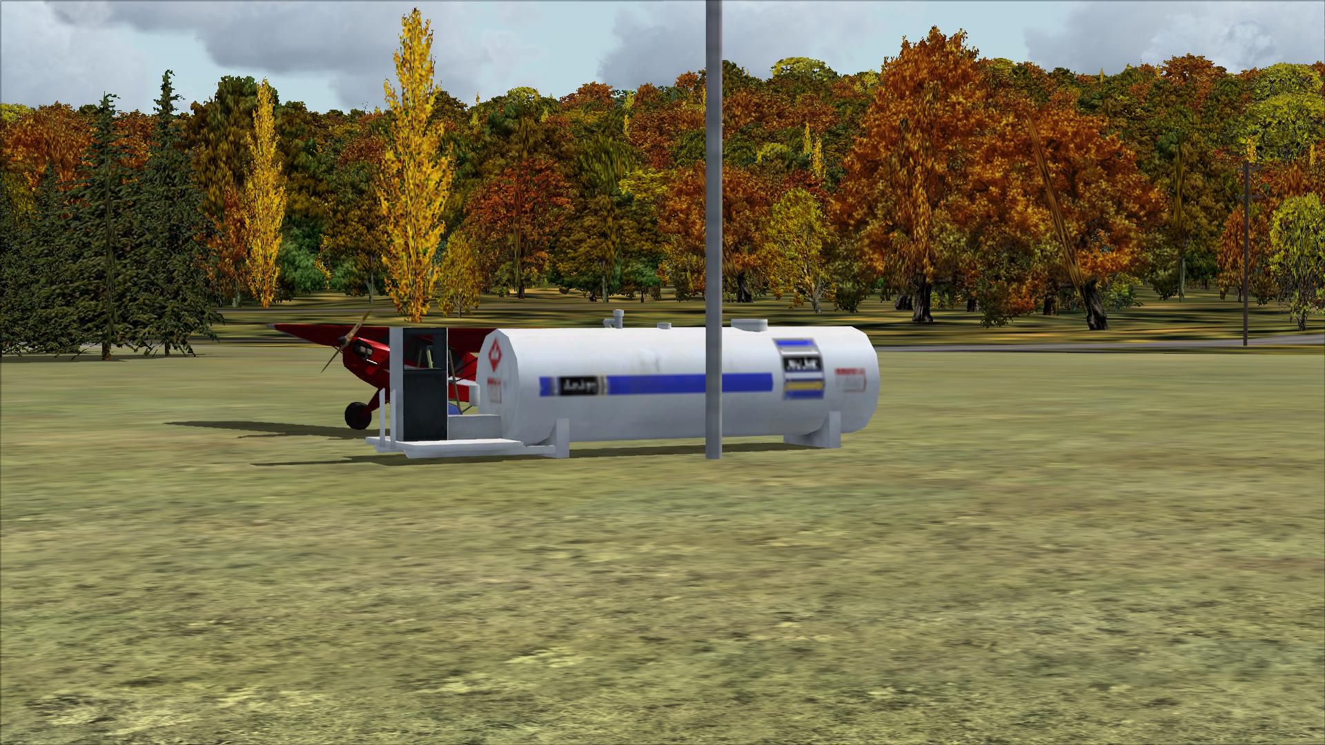
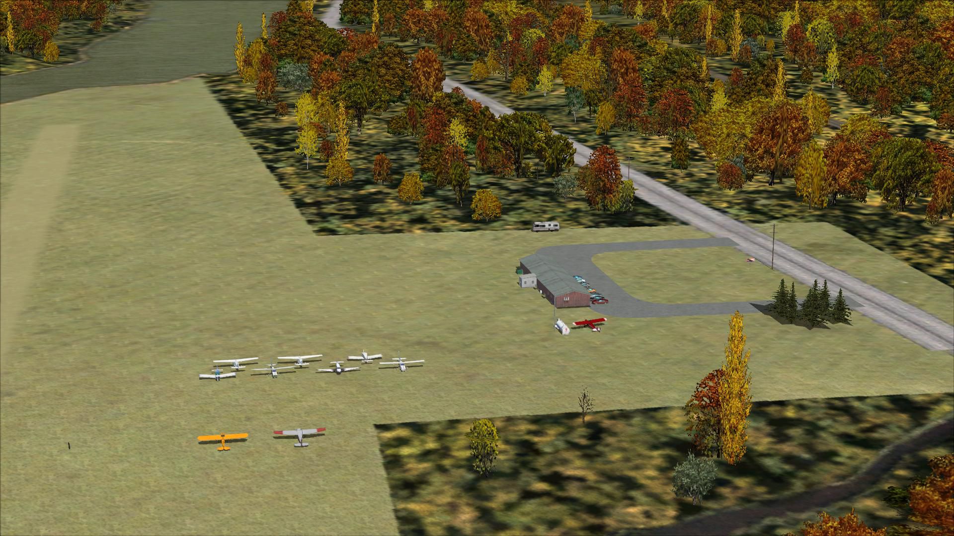
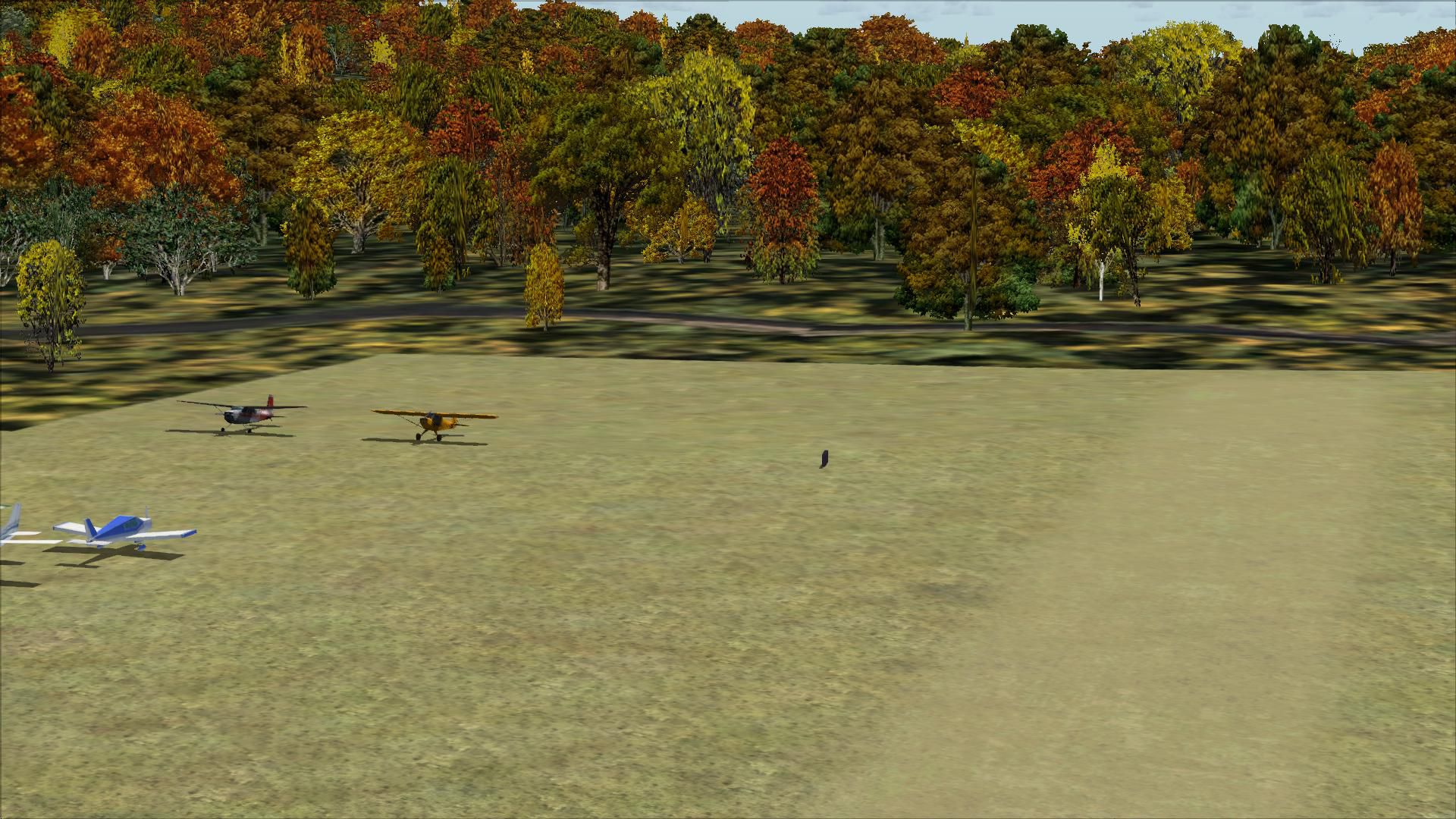
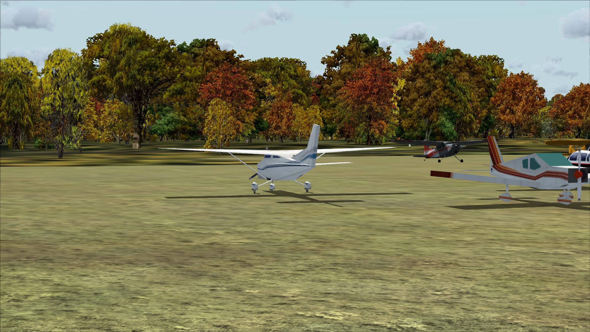
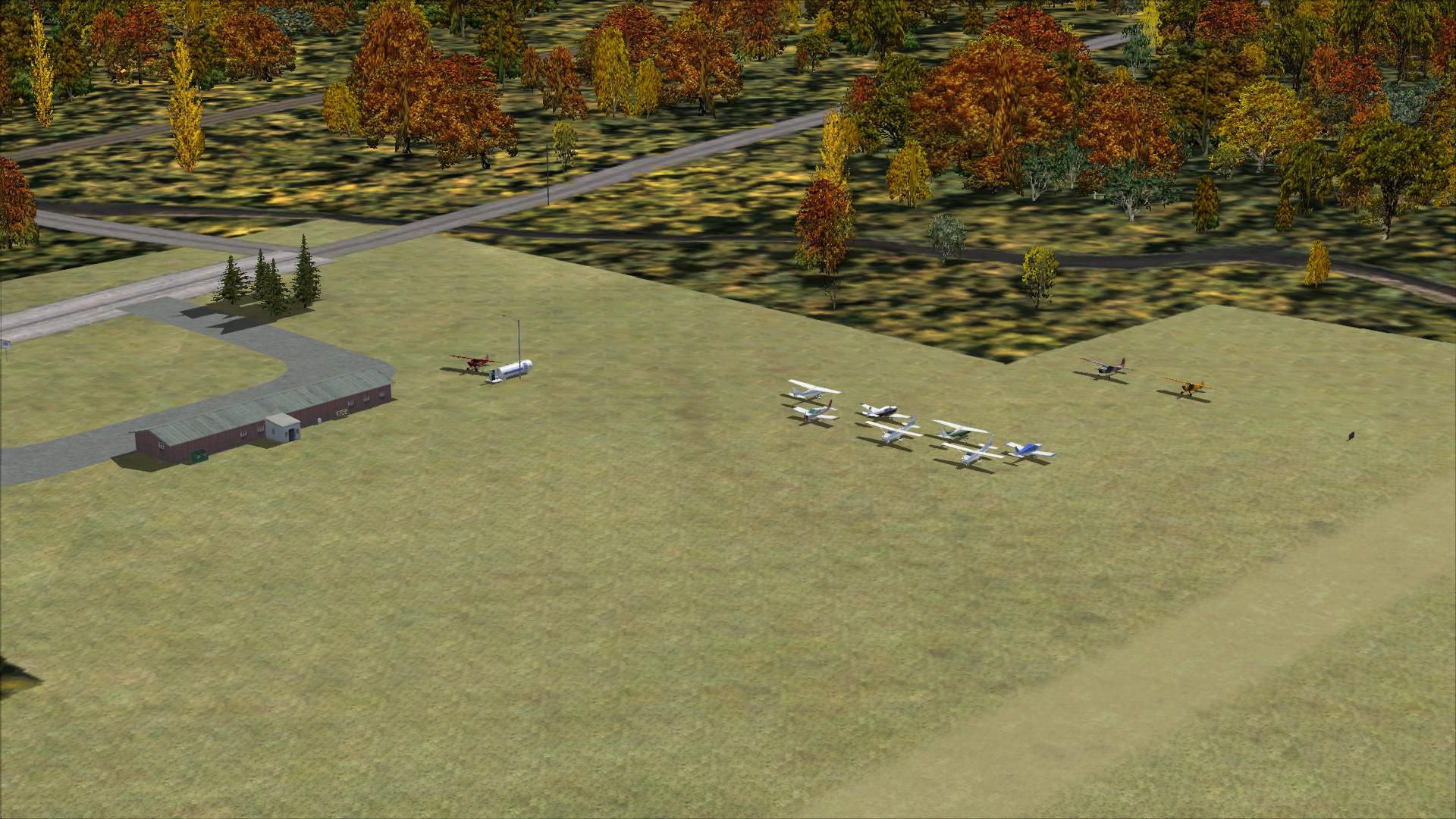
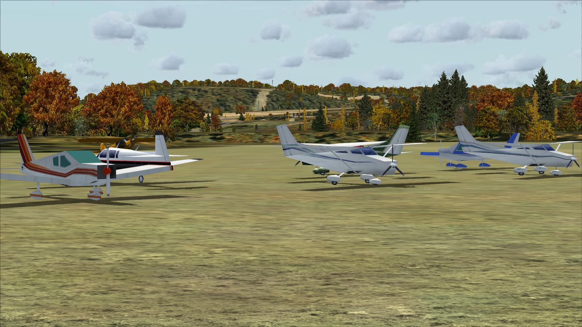
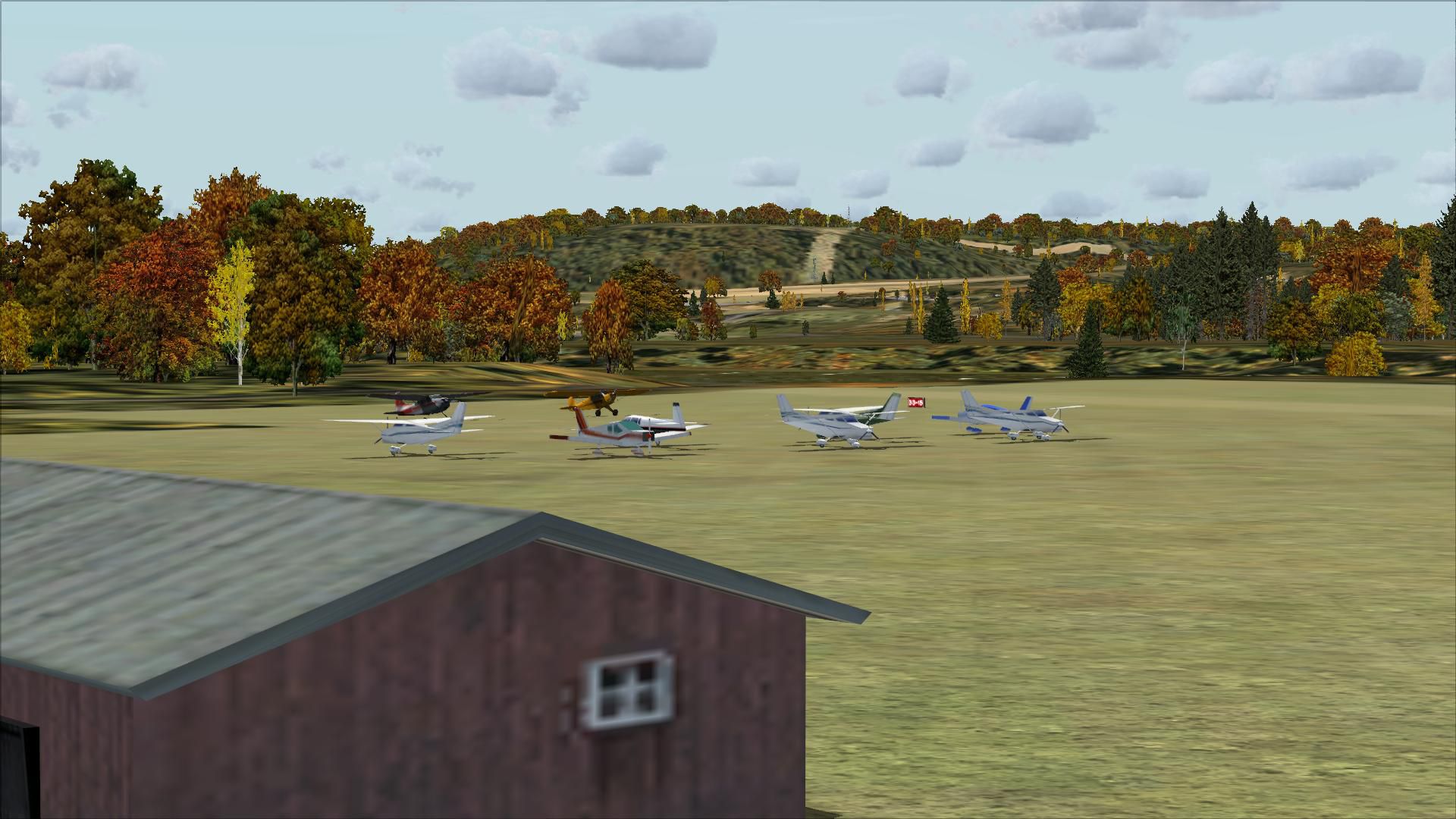
Mohawk Valley Airport (K13), Scotia, New York (NY). An improved version with a more accurate runway, added driveways and parking area, more accurate building, static vehicles and more.
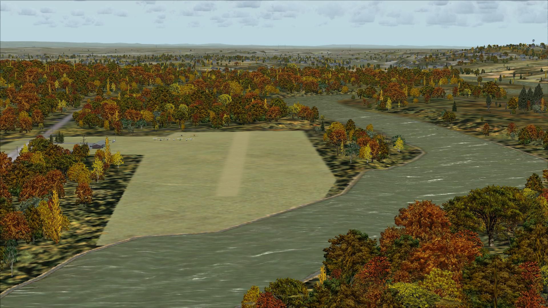
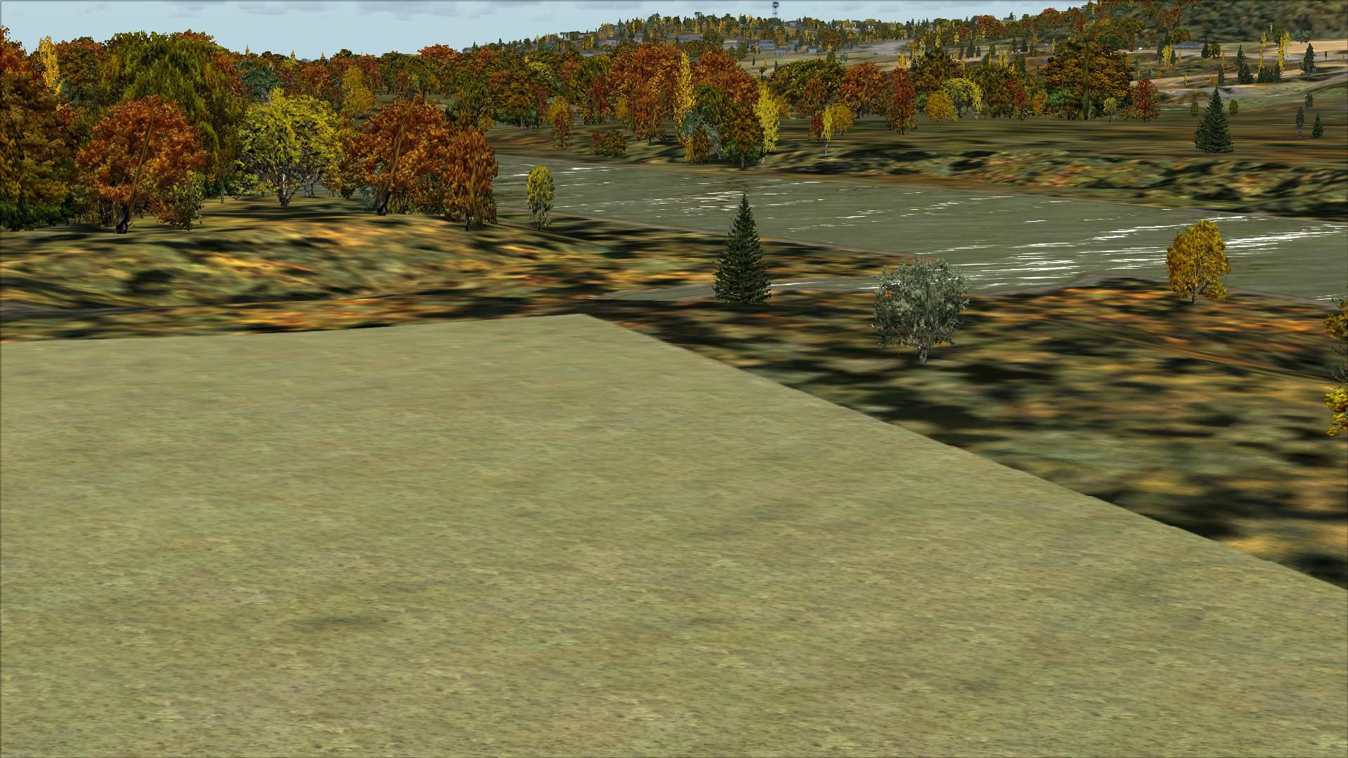
 Here is an improved version of the stock Mohawk Valley Airport. I moved the runway to be compatible with Ultimate Terrain X. It originally ran into the Mohawk River.
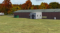
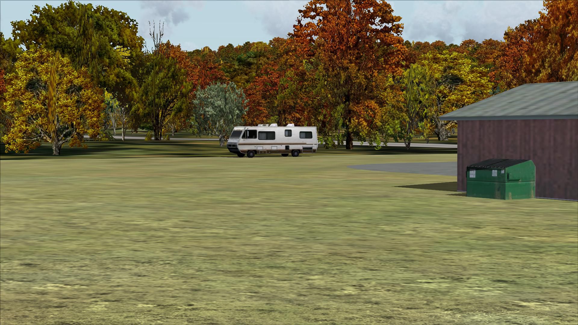
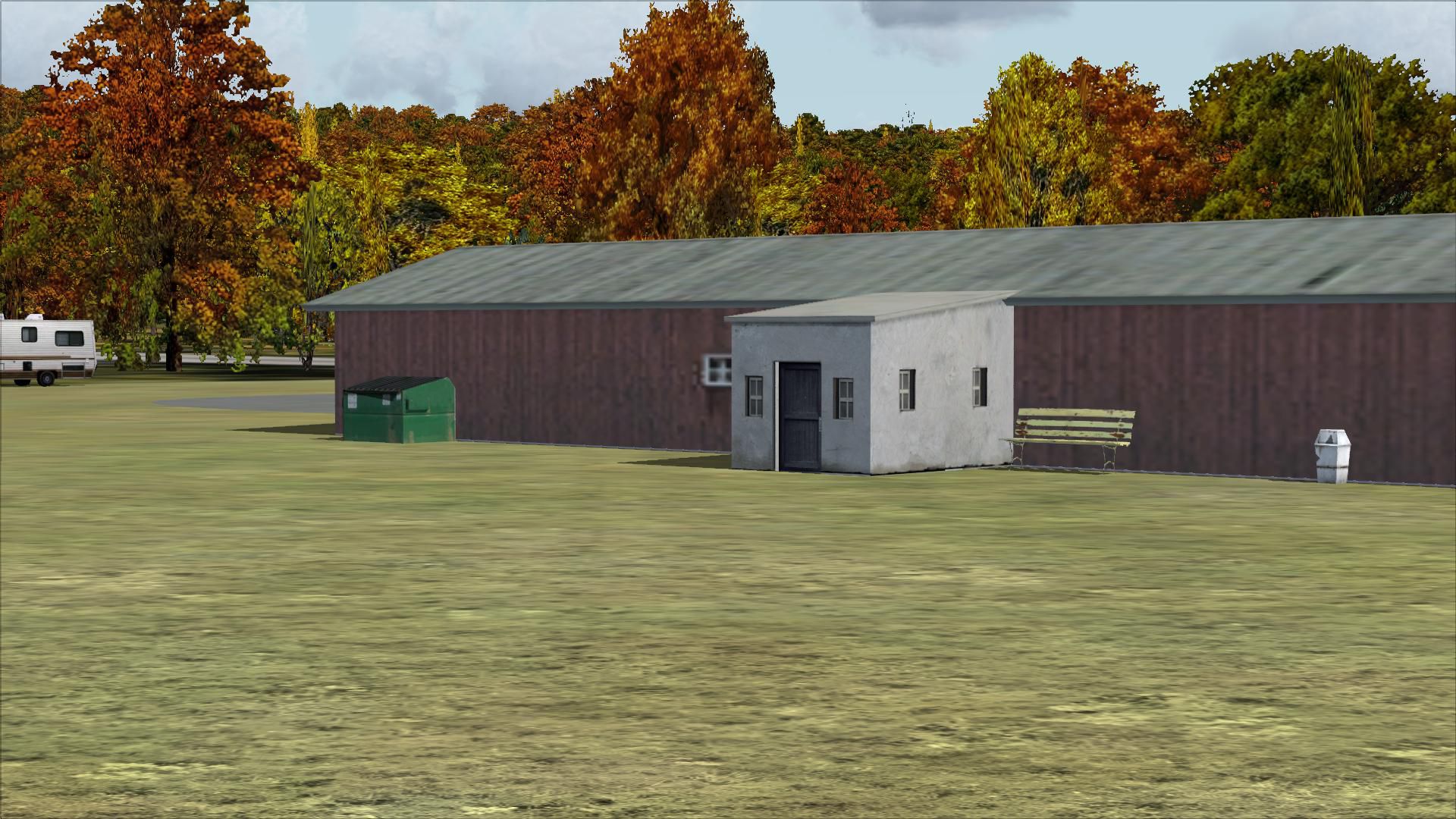
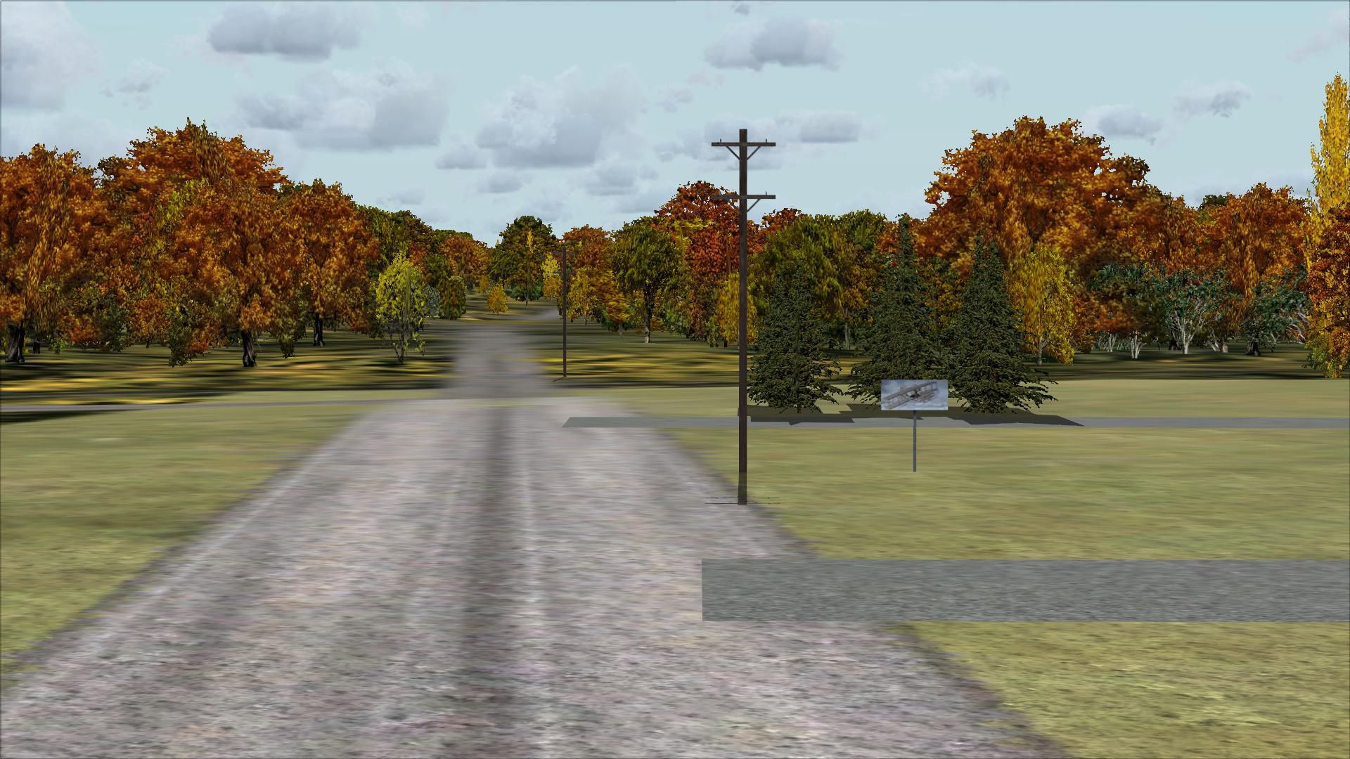
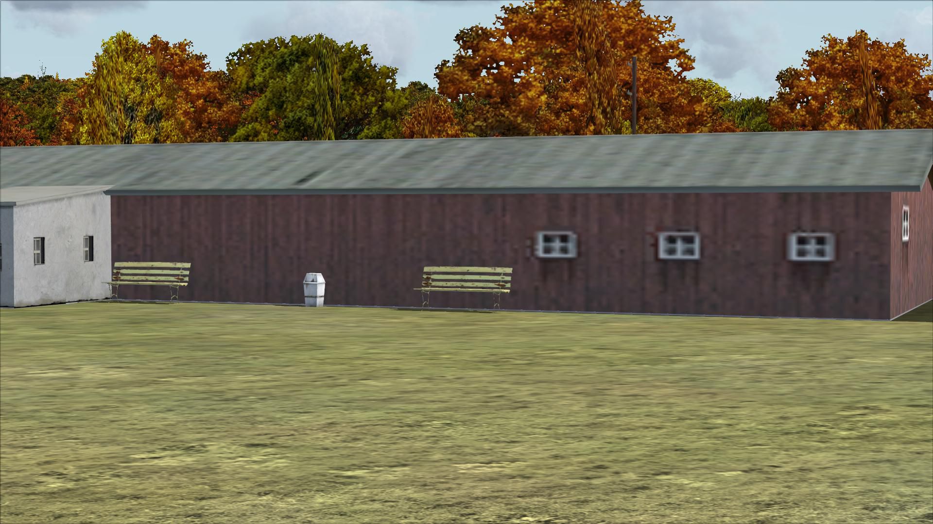
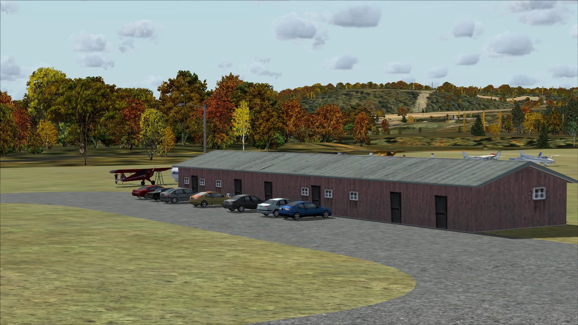
Like most small strips there was nothing there but an inaccurate building. I added the gravel driveways and parking area, a more accurate building, a fuel station, some static vehicles and airplanes, telephone poles and the sign out front.
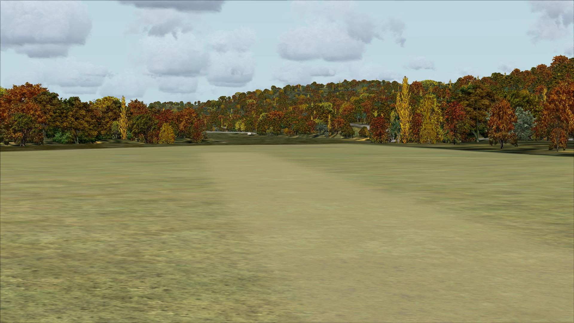
If you take off on Runway 33 you will head up the Mohawk River and over a bridge that is also a set of locks in real life.
I use Ultimate Terrain and FSGenesis landclass but they are not required.
All objects are stock FSX so no additional object libraries are needed. Updates made using AirNav diagrams and Google Earth to be as accurate as possible. All work is done with Flight 1's AFX program and Instant Scenery.
INSTALLATION:
Extract the file K13_AFX_JC.bgl and K13_JC.bgl into your Addon Scenery/Scenery folder, restart FSX and enjoy.
Developer: Jim Cook
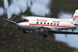
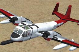
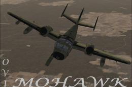
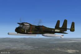
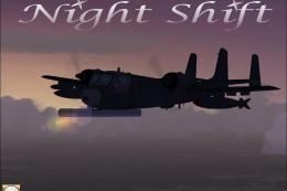
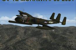
Images & Screenshots

Finding the Scenery
- FSX/Prepar3D Coordinates:
-
42.83000000,-73.96000000
Use the downloaded flight plan file by launching FSX/P3D, selecting "Load Flight Plan" in the flight planner, and choosing the .pln file. Your aircraft will be positioned directly at the add-on’s location. - Decimal Degrees (DD):
-
Latitude: 42.830000°
Longitude: -73.960000° - Degrees, Minutes, Seconds (DMS):
-
Latitude: 42° 49' 48.000" N
Longitude: 73° 57' 36.000" W
Map Location
The archive mohawkv.zip has 29 files and directories contained within it.
File Contents
This list displays the first 500 files in the package. If the package has more, you will need to download it to view them.
| Filename/Directory | File Date | File Size |
|---|---|---|
| K13_AFX_JC.bgl | 04.09.09 | 3.24 kB |
| K13_JC.bgl | 04.08.09 | 1.12 kB |
| mohawk_valley_readme.txt | 04.09.09 | 1.04 kB |
| flyawaysimulation.txt | 10.29.13 | 959 B |
| Go to Fly Away Simulation.url | 01.22.16 | 52 B |
| Screenshots | 09.13.19 | 0 B |
| screen-1.jpg | 09.10.19 | 443.20 kB |
| screen-10.jpg | 09.10.19 | 341.14 kB |
| screen-11.jpg | 09.10.19 | 241.10 kB |
| screen-12.jpg | 09.10.19 | 314.88 kB |
| screen-13.jpg | 09.10.19 | 313.16 kB |
| screen-14.jpg | 09.10.19 | 282.41 kB |
| screen-15.jpg | 09.10.19 | 245.07 kB |
| screen-16.jpg | 09.10.19 | 368.60 kB |
| screen-17.jpg | 09.10.19 | 354.92 kB |
| screen-18.jpg | 09.10.19 | 303.66 kB |
| screen-19.jpg | 09.10.19 | 378.53 kB |
| screen-2.jpg | 09.10.19 | 522.97 kB |
| screen-20.jpg | 09.10.19 | 294.38 kB |
| screen-21.jpg | 09.10.19 | 338.78 kB |
| screen-22.jpg | 09.10.19 | 382.45 kB |
| screen-23.jpg | 09.10.19 | 322.48 kB |
| screen-3.jpg | 09.10.19 | 364.17 kB |
| screen-4.jpg | 09.10.19 | 381.36 kB |
| screen-5.jpg | 09.10.19 | 525.20 kB |
| screen-6.jpg | 09.10.19 | 340.96 kB |
| screen-7.jpg | 09.10.19 | 331.85 kB |
| screen-8.jpg | 09.10.19 | 393.71 kB |
| screen-9.jpg | 09.10.19 | 361.08 kB |
Installation Instructions
Most of the freeware add-on aircraft and scenery packages in our file library come with easy installation instructions which you can read above in the file description. For further installation help, please see our Flight School for our full range of tutorials or view the README file contained within the download. If in doubt, you may also ask a question or view existing answers in our dedicated Q&A forum.


0 comments
Leave a Response