FSX McAllen Miller Int'l Airport Scenery
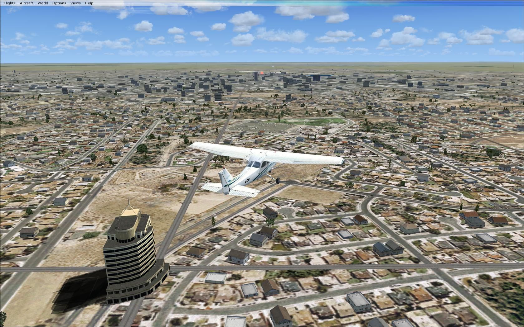
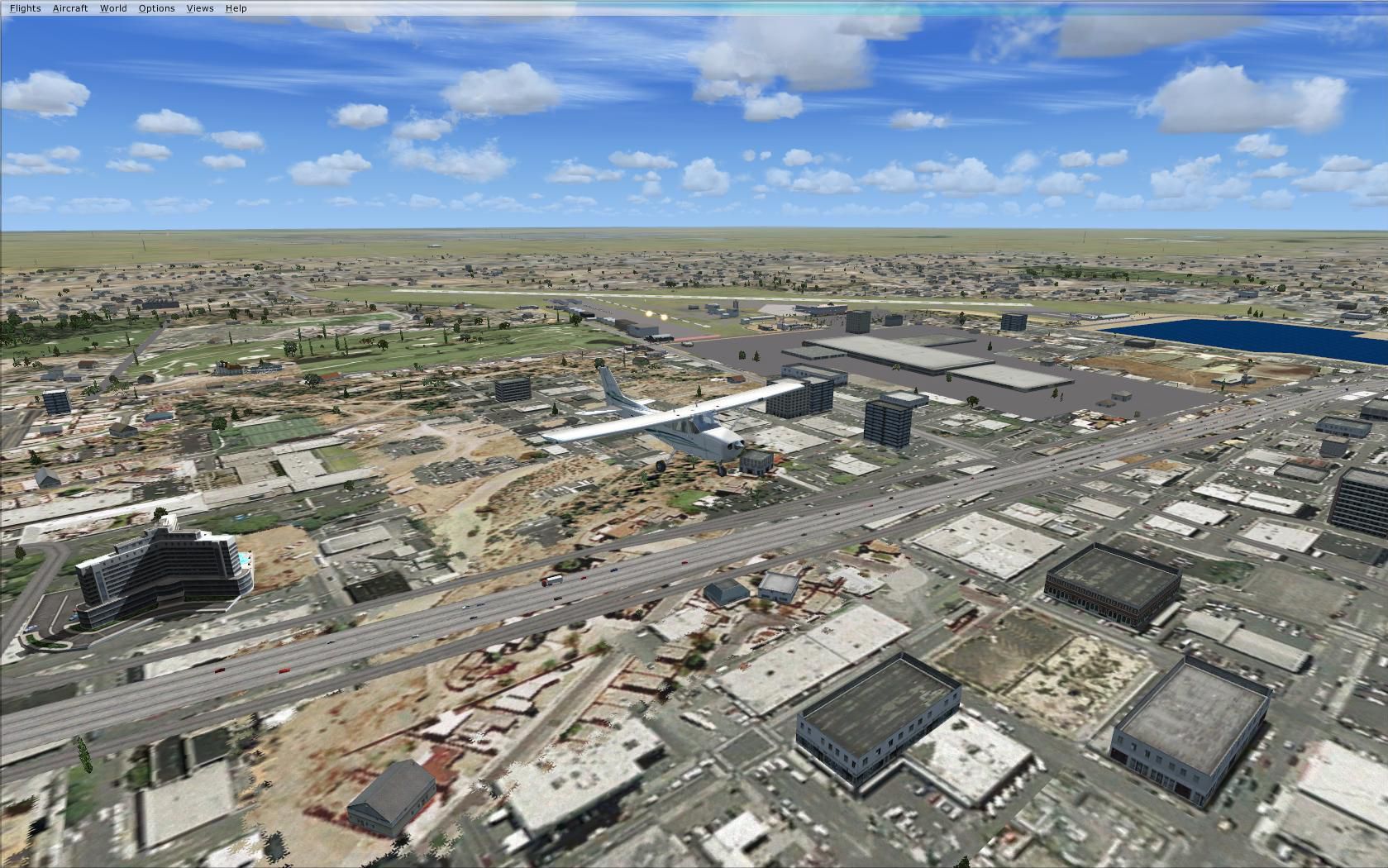
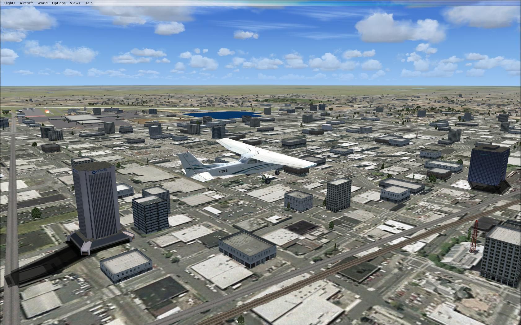
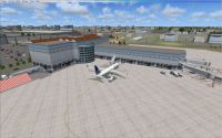
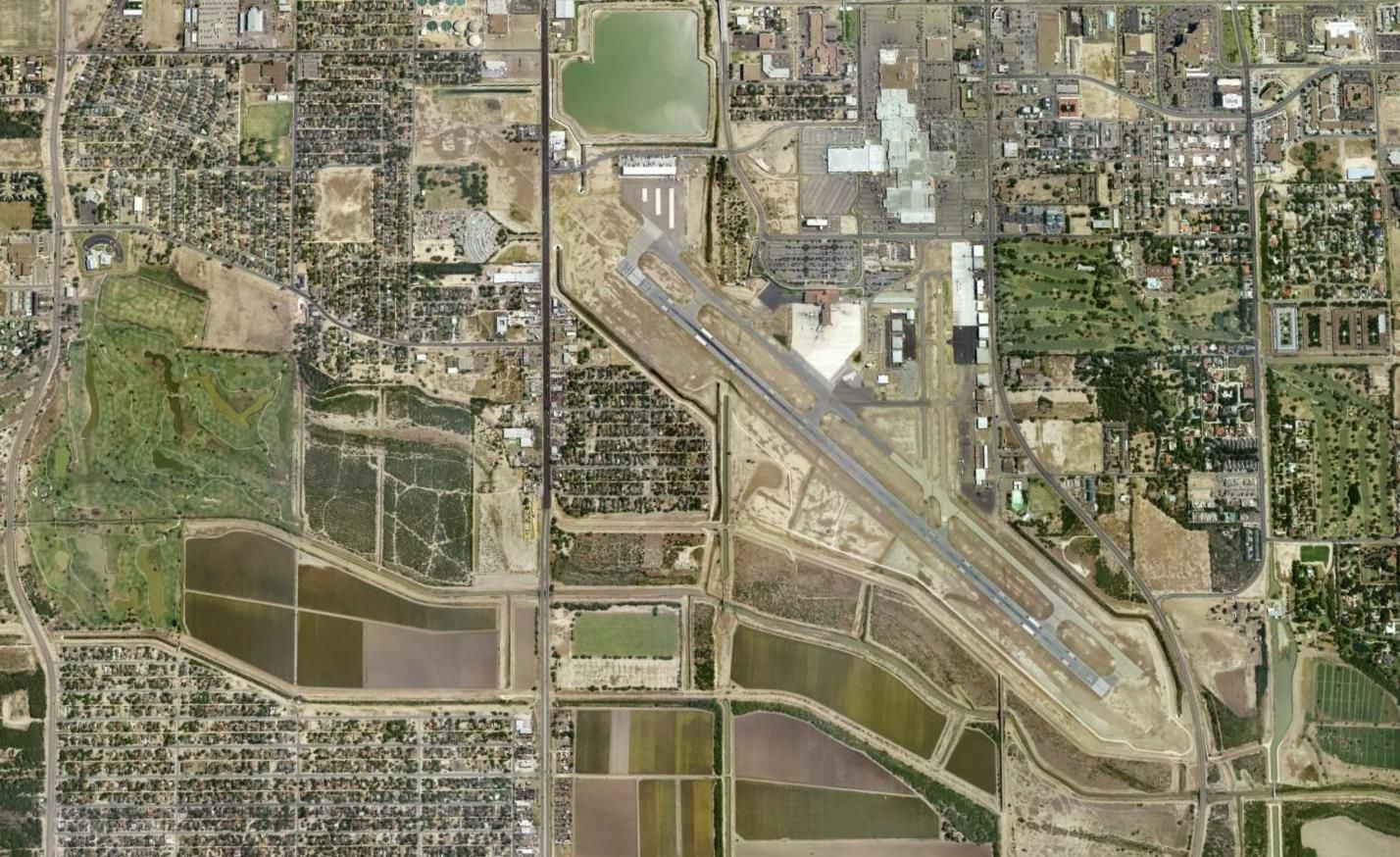
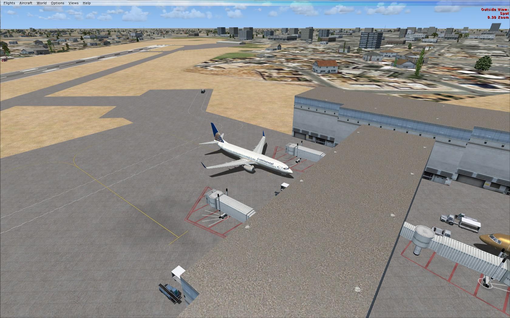
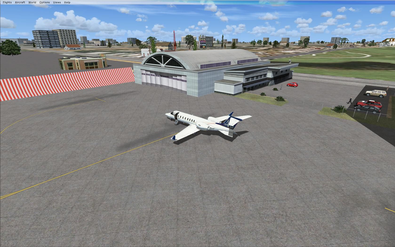
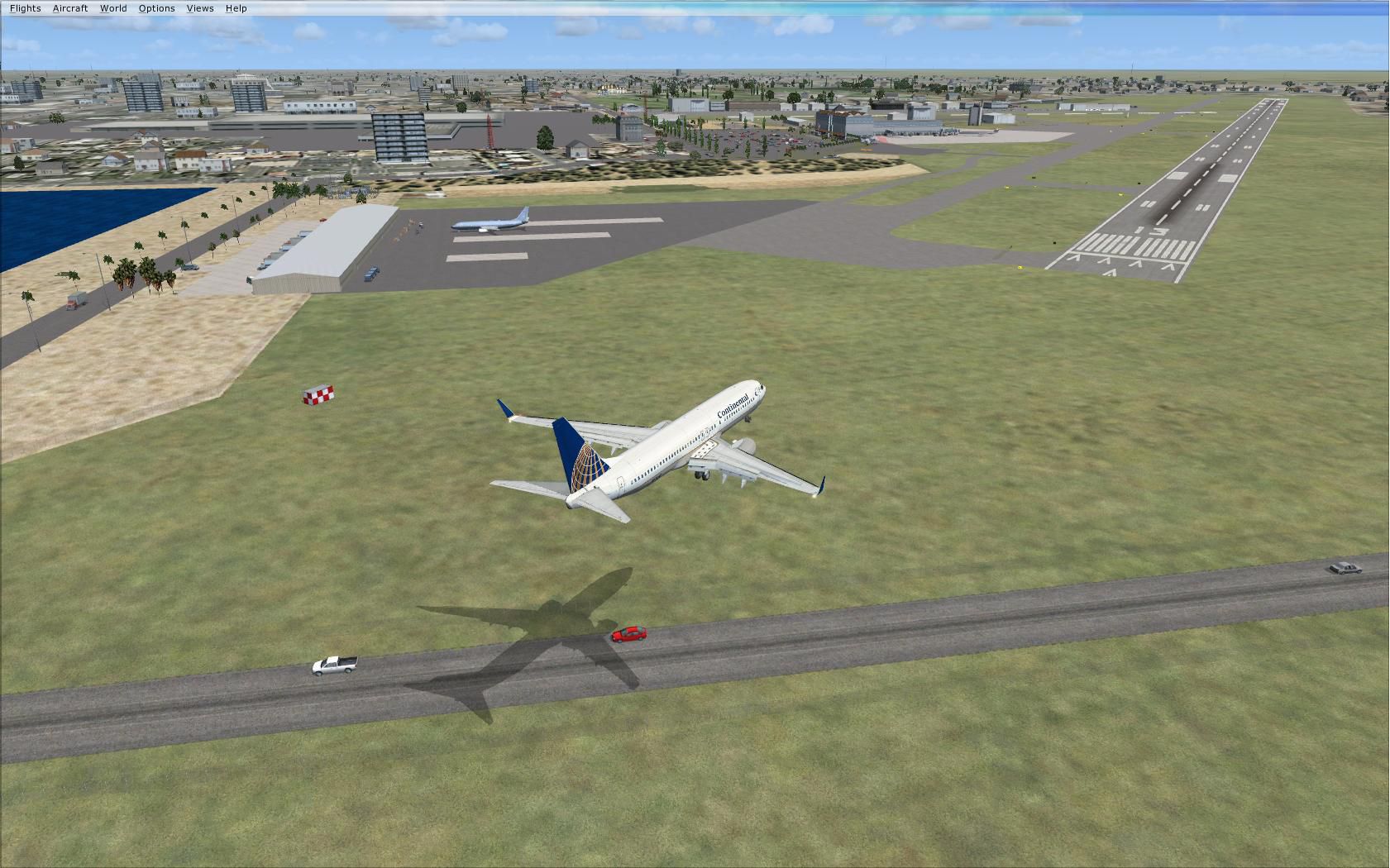
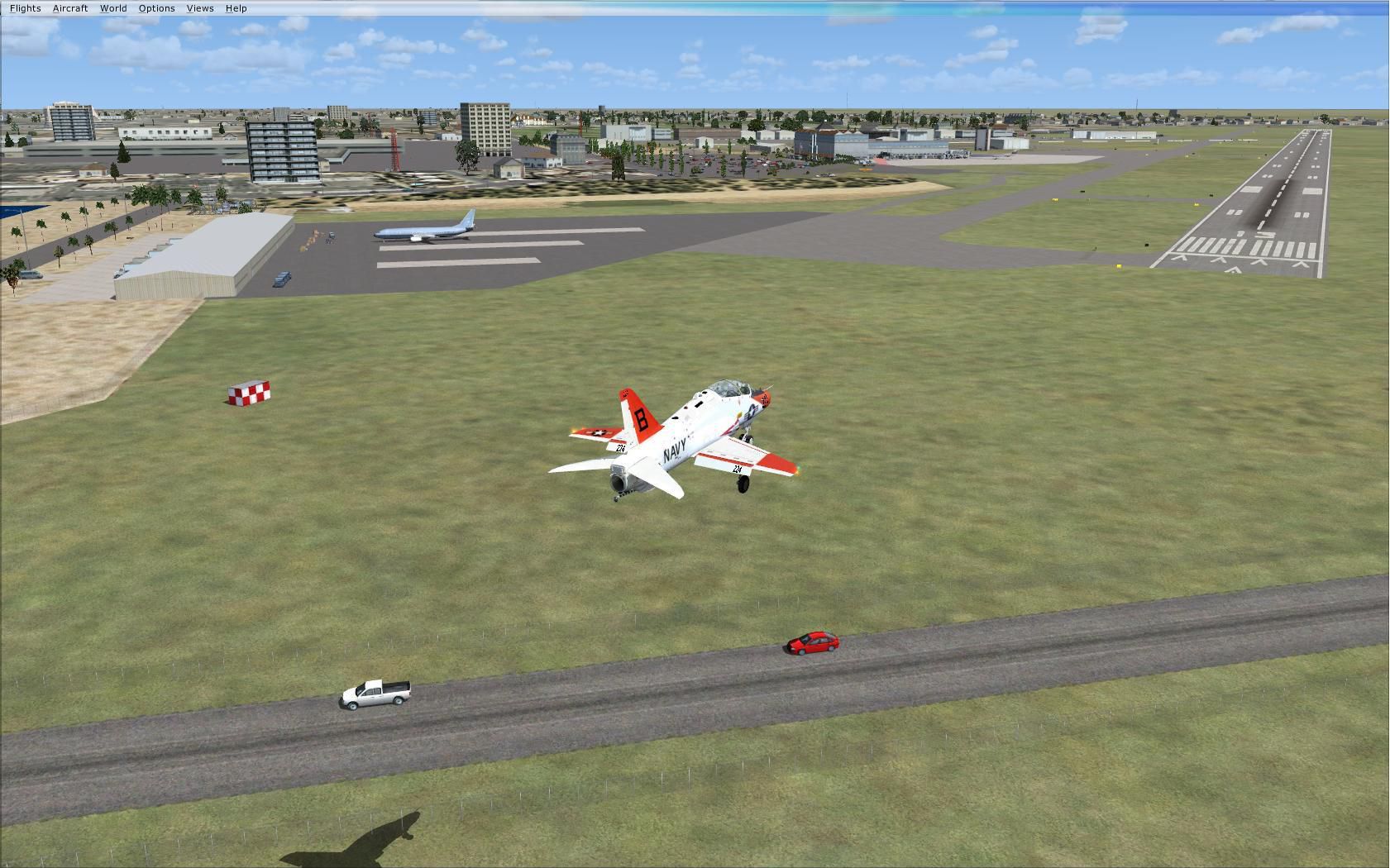
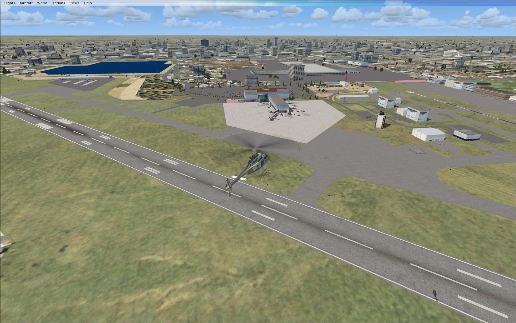
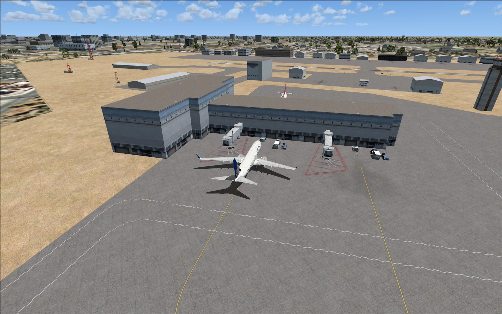
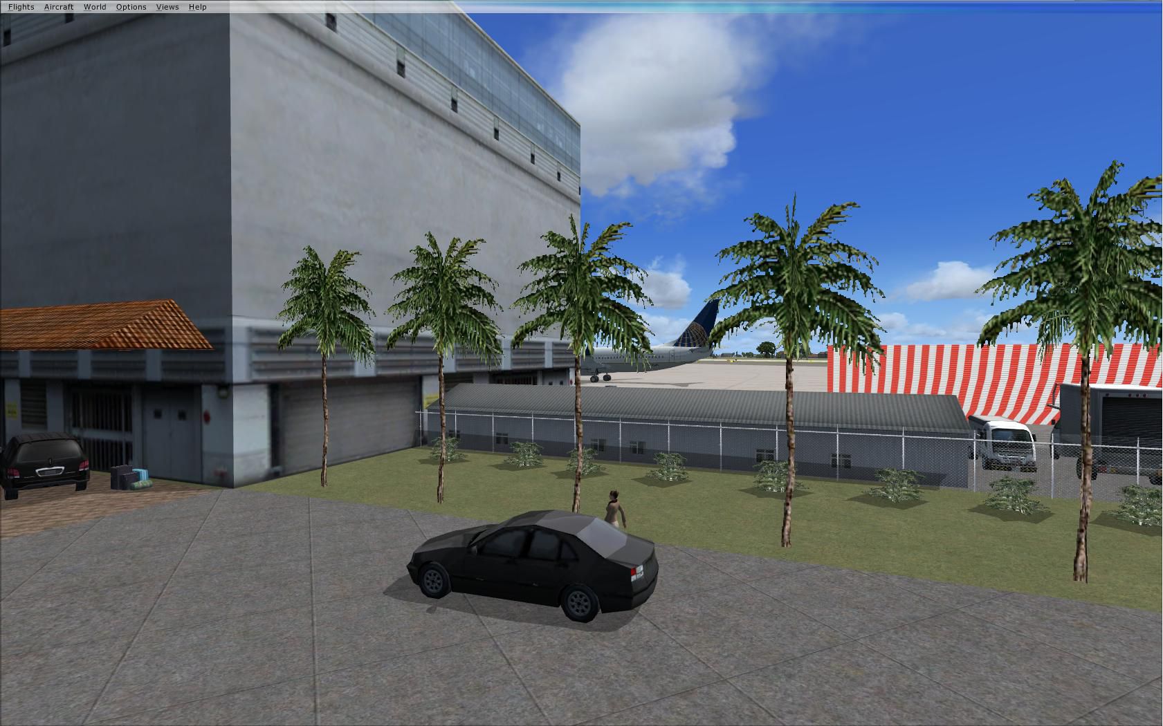
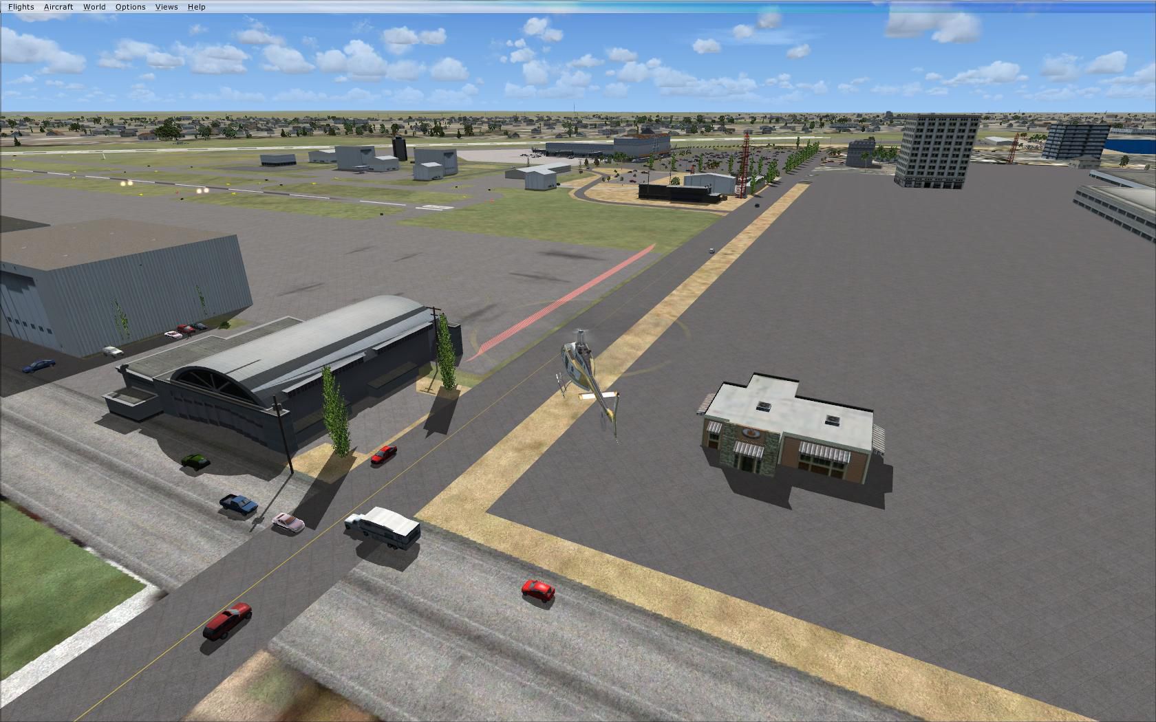
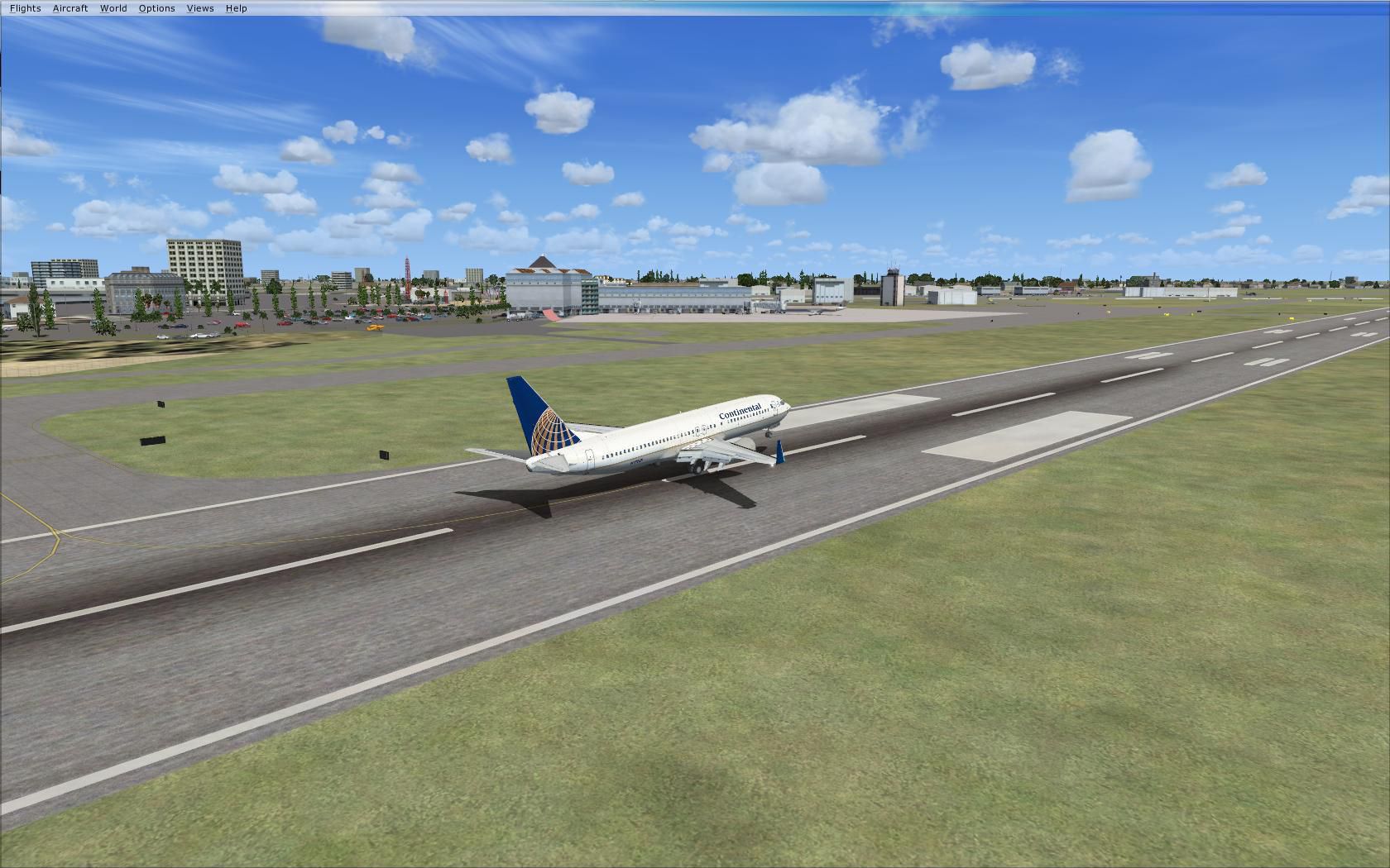
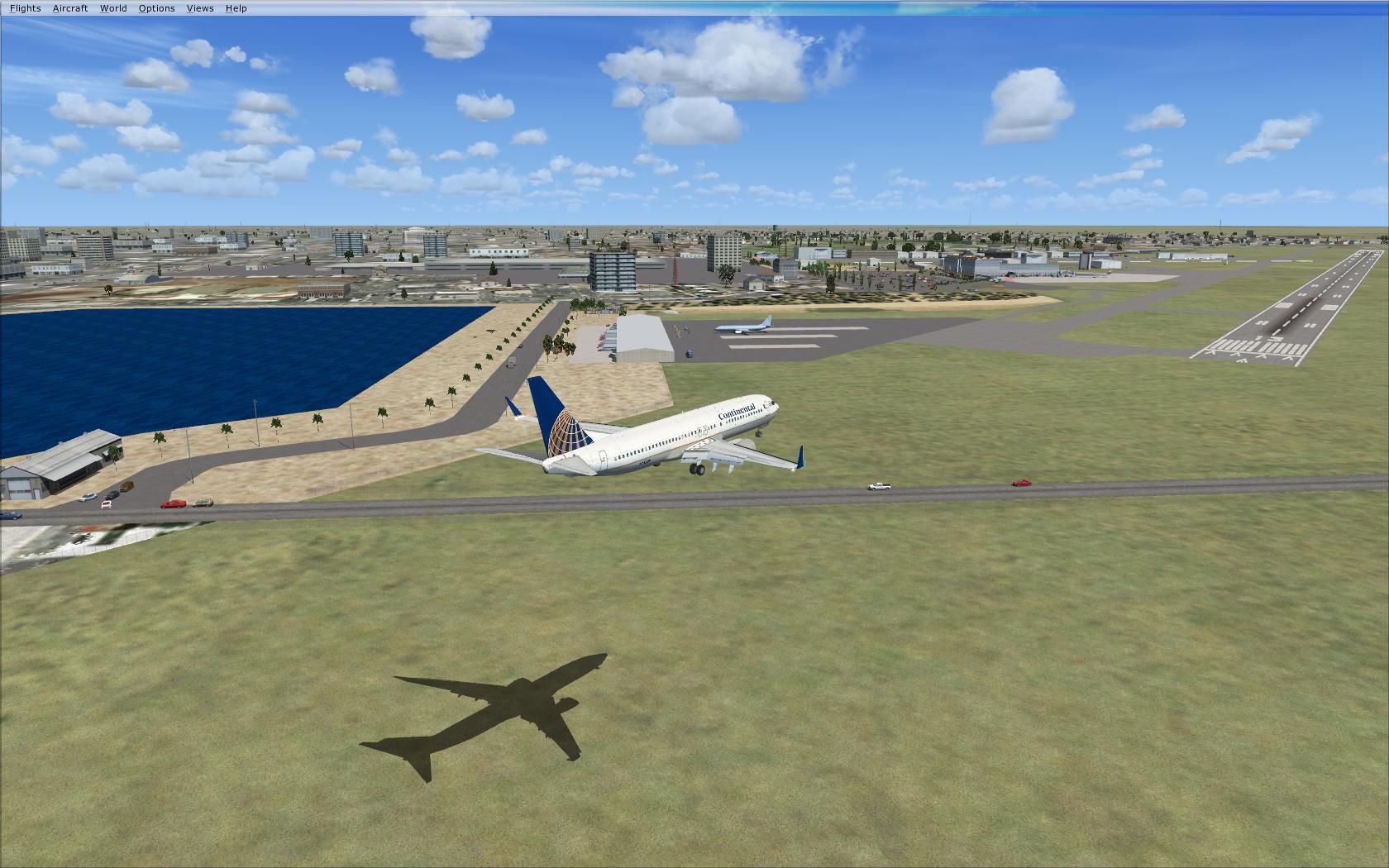
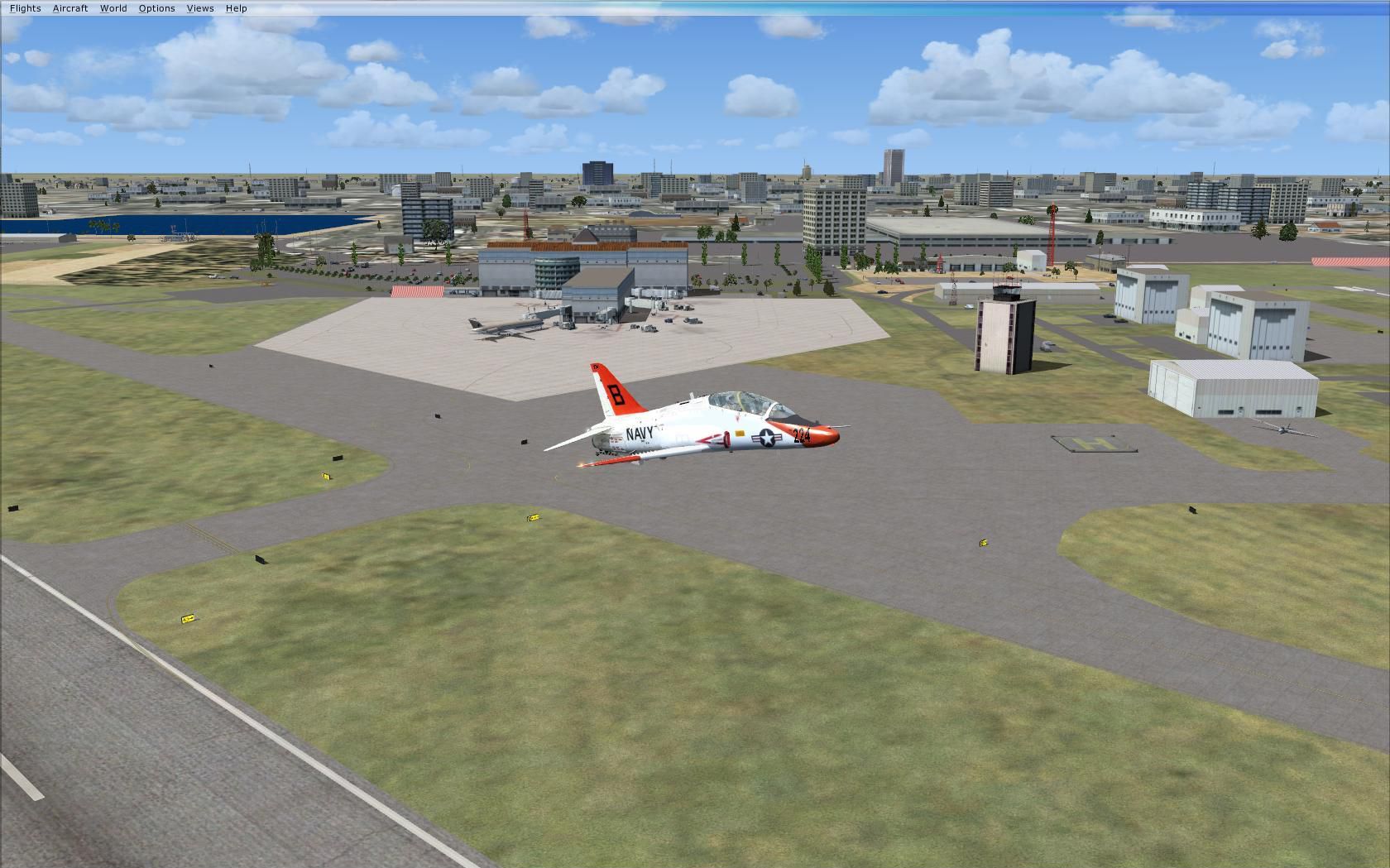
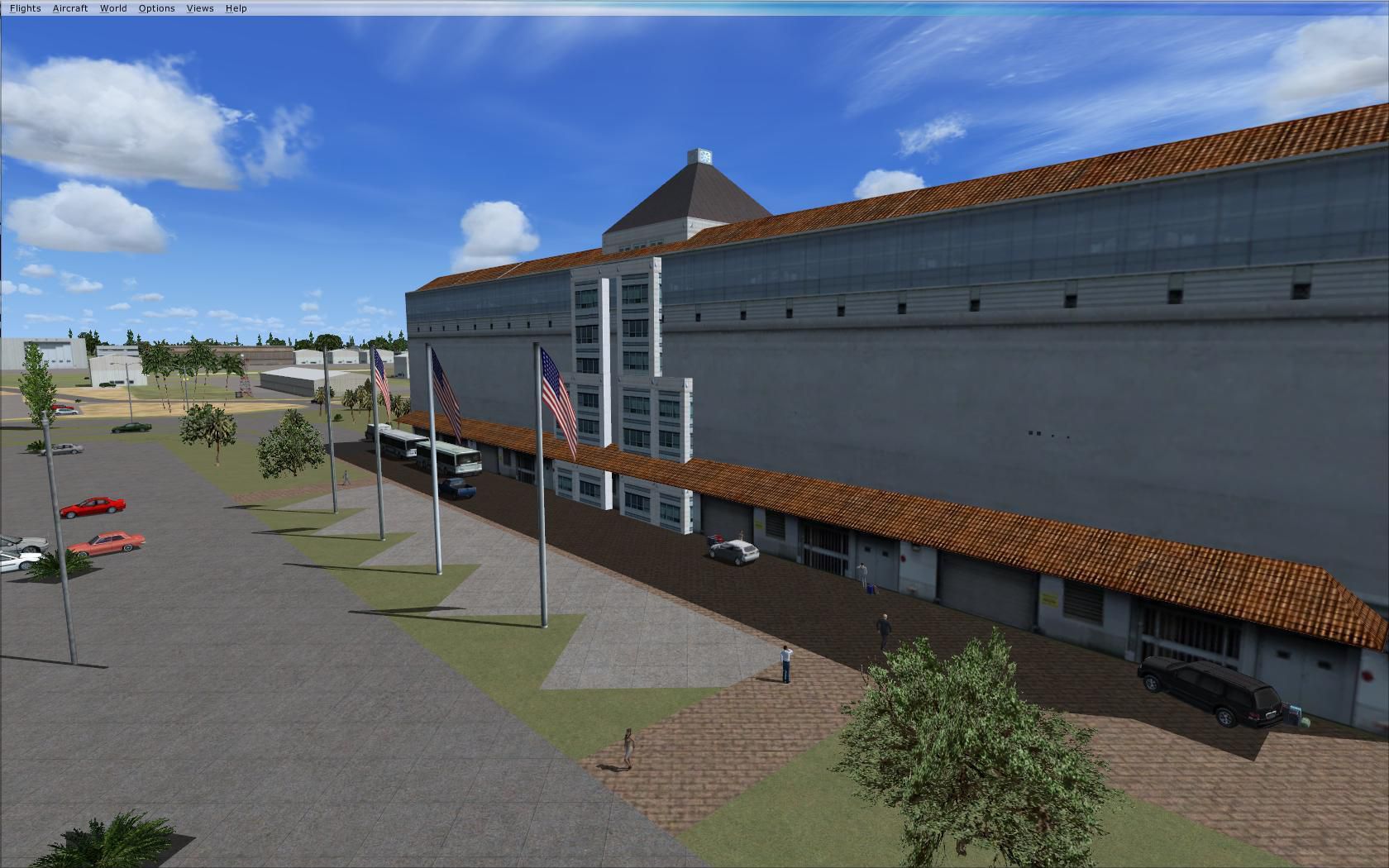
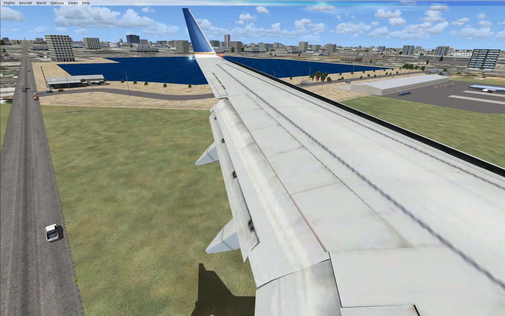
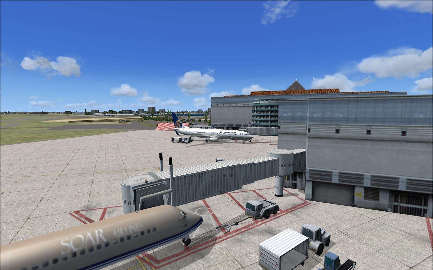
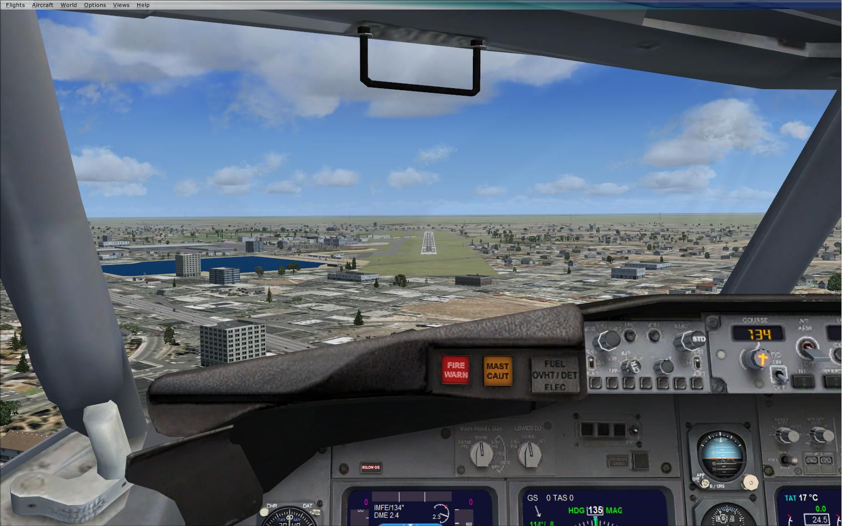
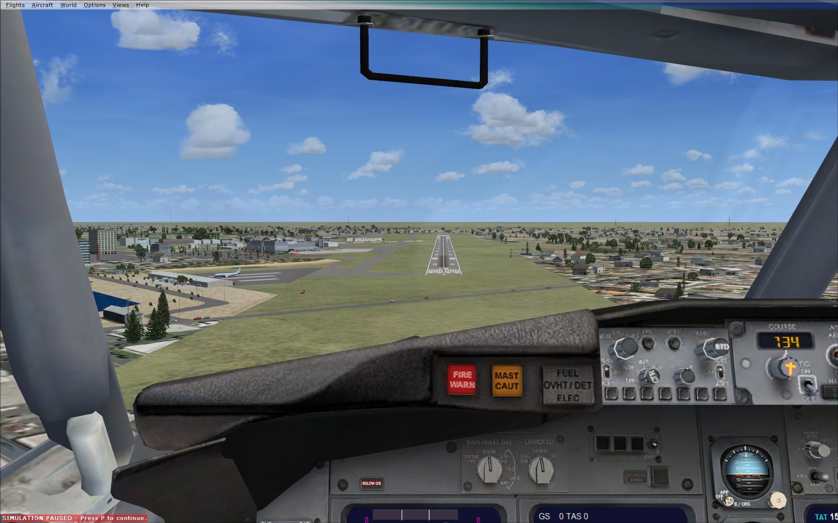
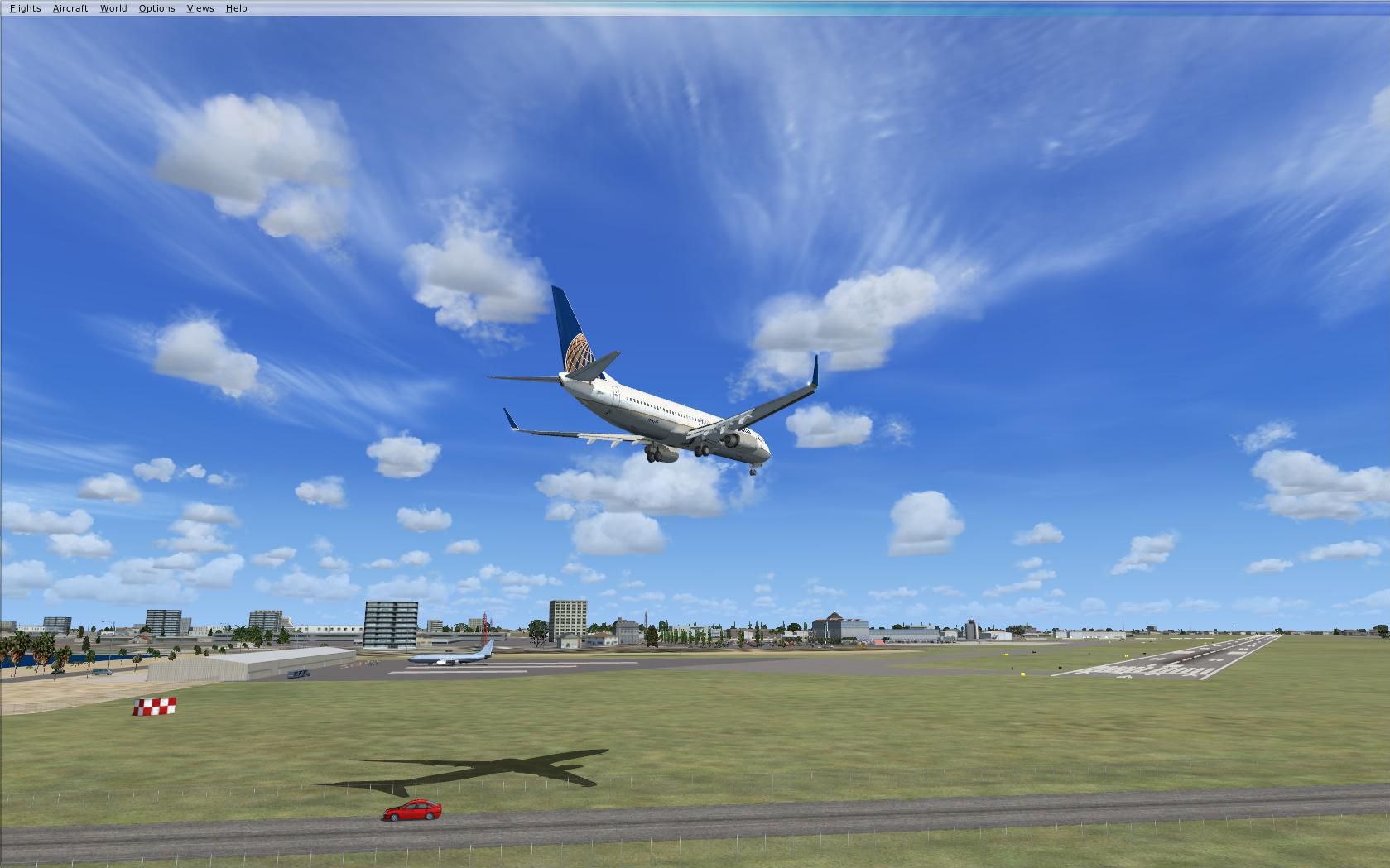
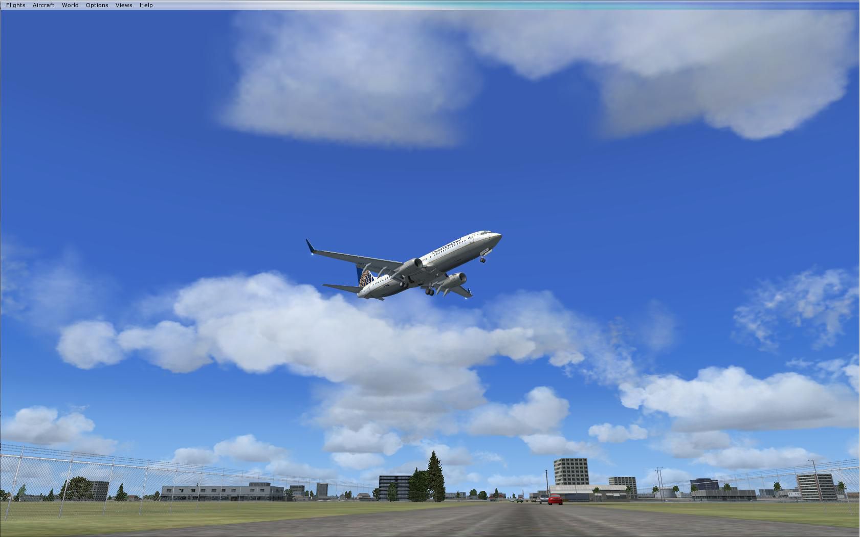
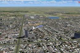
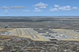
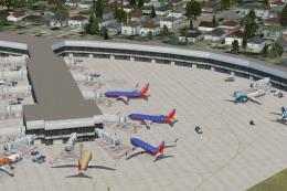
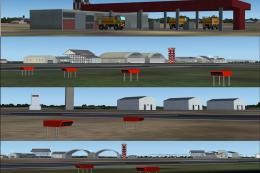
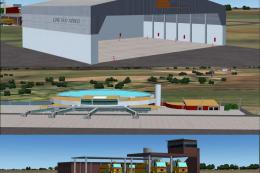
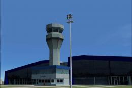
McAllen Miller International Airport (KMFE) gets a sharper, more accurate layout for FSX, with corrected taxiways and satellite-based apron and taxi textures that better match real-world dimensions. The update adds local landmarks including the McAllen Convention Center, Border Patrol station, Dodge Arena, FBO details, plus nearby mall, golf courses, and hotels, and requires FSX Acceleration for full object coverage.

 United States of America
 - File: xkmfe3_2.zip
- Size:7.39 MB
- Scan:
Clean (6d)

- Access:Freeware
- Content:Everyone
McAllen Miller Int'l Airport, Texas, v3.2. Scenery update of McAllen Miller International Airport (KMFE) in McAllen, TX. This update addresses some taxiway mistakes in previous version. Based on satellite imagery to near exact dimensions and textures for more realistic look. Includes the new McAllen Convention Center, the Border Patrol Station at the airport, the Dodge Arena south of the airport, the nearby mall, golf courses, hotels, etc. This version 3. 2 of KMFE does NOT have exemptions on autogen buildings and cannot be used with Toni Hiltunen's FS2004 McAllen scenery. If you would like to have local buildings (Chase building, Bentson Tower, and Nolana bank) and wish to use Toni's McAllen scenery, please download Toni Hiltunen's FS2004 McAllen scenery (MCALLNTX.ZIP, MCALLNFX.ZIP) and version 2. 2 of this scenery (XKMFE2_2.ZIP). By Brian Carlin.
McAllen Miller Int'l Airport Scenery.
This is an improved version of the FSX default KMFE airport. These modifications were made using ADE 1.37 and Stock FSX and FSX Acceleration Expansion Pack library objects. If you do not have the Expansion Pack installed some library objects will not display.
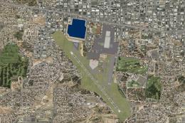
My modifications to the scenery are simple, but are based on first hand knowledge of the airport, and satellite photos, and bring much needed realism to the Rio Grande Valley.
INSTALLATION:
Place the two extracted BGL files (KMFE_ADE_BCCRWe3_CVX, KMFE_ADE_BCCRWe3) in your FSX/Addon Scenery/Scenery folder. After that, you can restart FSX and start flying. Enjoy! In addition to the mall, golf courses, and hotels, this update includes some taxiway fixes as well as more realistic taxi and apron textures based on satellite images. I have also added the new McAllen Convention Center, the Border Patrol station at the airport, the Dodge Arena to the south of the airport, McCreery Aviation FBO, McAllen Country Club, and a few other extras.
**PLEASE READ**
If you take a look at the screenshots I have included, you will notice I am using scenery from FS2004 that I would also highly recommend by Toni Hiltunen. You can follow the links or search either FS2004 Scenery/mcallen, or file mcallnfx.zip & mcallntx.zip. This version of McAllen airport scenery does NOT have the exclusions of autogen buildings that is needed for Toni Hiltunen's local buildings to show properly. If you would like to add Toni's McAllen Scenery, you must also download my McAllen Airport scenery Version 2.2 (XKMFE2_2.ZIP)
Brian Carlin
I am just learning, but I am having a lot of fun, if you have any suggestions or Comments, they would be greatly appreciated.
Acknowledgements
ADE Utility (freeware) Jon Masterson.
Thanks to Tony Hiltunen for his great add-on scenery of McAllen.

McAllen Miller Int'l Airport Scenery.
Images & Screenshots


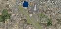
Finding the Scenery
- FSX/Prepar3D Coordinates:
-
26.17580000,-98.23860000
Use the downloaded flight plan file by launching FSX/P3D, selecting "Load Flight Plan" in the flight planner, and choosing the .pln file. Your aircraft will be positioned directly at the add-on’s location. - Decimal Degrees (DD):
-
Latitude: 26.175800°
Longitude: -98.238600° - Degrees, Minutes, Seconds (DMS):
-
Latitude: 26° 10' 32.880" N
Longitude: 98° 14' 18.960" W
Map Location
The archive xkmfe3_2.zip has 40 files and directories contained within it.
File Contents
This list displays the first 500 files in the package. If the package has more, you will need to download it to view them.
| Filename/Directory | File Date | File Size |
|---|---|---|
| KMFE_ADE_BCCRWe3.BGL | 04.20.09 | 94.63 kB |
| KMFE_ADE_BCCRWe3_CVX.bgl | 04.20.09 | 1.95 kB |
| ReadMe.txt | 04.19.09 | 2.17 kB |
| Screenshots | 04.20.09 | 0 B |
| 01.jpg | 04.12.09 | 274.63 kB |
| 02.jpg | 04.12.09 | 194.50 kB |
| 03.jpg | 04.12.09 | 232.41 kB |
| 04.jpg | 04.02.09 | 213.02 kB |
| 05.jpg | 04.12.09 | 201.81 kB |
| 06.jpg | 04.12.09 | 153.30 kB |
| 07.jpg | 04.12.09 | 191.62 kB |
| 08.jpg | 04.12.09 | 228.27 kB |
| 09.jpg | 04.02.09 | 172.67 kB |
| 10.jpg | 04.02.09 | 223.67 kB |
| 11.jpg | 04.12.09 | 114.68 kB |
| 12.jpg | 04.12.09 | 248.33 kB |
| 13.jpg | 04.02.09 | 205.32 kB |
| 14.jpg | 04.02.09 | 147.92 kB |
| 15.jpg | 04.02.09 | 227.32 kB |
| 16.jpg | 04.02.09 | 274.43 kB |
| 17.jpg | 04.12.09 | 245.16 kB |
| 18.jpg | 04.02.09 | 247.26 kB |
| 19.jpg | 04.02.09 | 223.26 kB |
| 20.jpg | 04.02.09 | 319.32 kB |
| 21.jpg | 04.02.09 | 304.61 kB |
| 22.jpg | 04.02.09 | 365.82 kB |
| 23.jpg | 04.02.09 | 179.70 kB |
| 24.jpg | 04.02.09 | 229.83 kB |
| 25.jpg | 04.02.09 | 244.38 kB |
| 26.jpg | 04.12.09 | 144.42 kB |
| Before1.jpg | 03.31.09 | 240.76 kB |
| Before2.jpg | 03.31.09 | 277.09 kB |
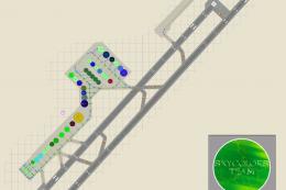
| DiagramKMFE.pdf | 11.06.08 | 119.10 kB |
| FSXOverview.jpg | 04.02.09 | 531.10 kB |
| KMFE.jpg | 03.29.09 | 302.69 kB |
| McAllengoogleearth.jpg | 11.21.08 | 278.00 kB |
| Side.jpg | 04.02.09 | 77.41 kB |
| thumbnail.jpg | 04.02.09 | 27.53 kB |
| flyawaysimulation.txt | 10.29.13 | 959 B |
| Go to Fly Away Simulation.url | 01.22.16 | 52 B |
Complementing Files & Dependencies
This add-on mentions the following files below in its description. It may be dependent on these files in order to function properly. It's possible that this is a repaint and the dependency below is the base package.
You may also need to download the following files:
Installation Instructions
Most of the freeware add-on aircraft and scenery packages in our file library come with easy installation instructions which you can read above in the file description. For further installation help, please see our Flight School for our full range of tutorials or view the README file contained within the download. If in doubt, you may also ask a question or view existing answers in our dedicated Q&A forum.

0 comments
Leave a Response