FSX Caracas VFR - Venezuela Scenery
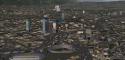
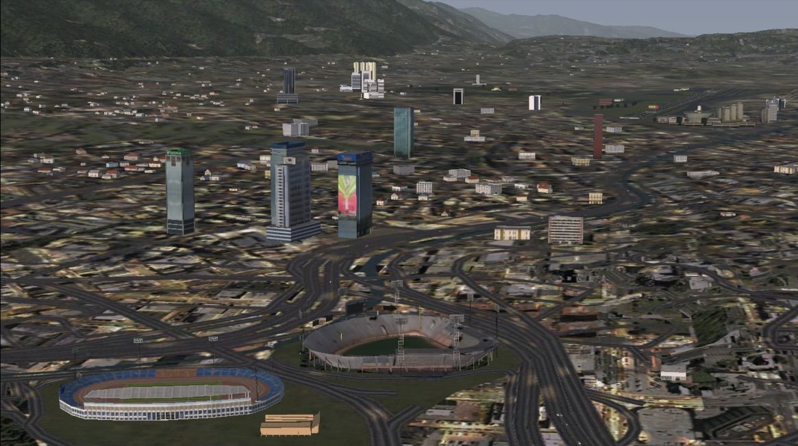
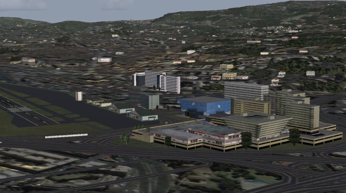
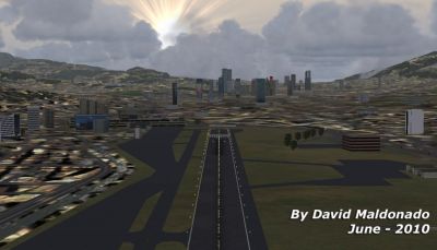
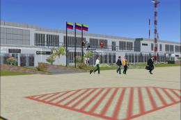
Caracas VFR scenery enriches Venezuela’s capital with accurately placed 100m-plus skyscrapers and signature landmarks, plus highways with moving traffic, detailed avenues and streets, and enhanced rivers, lakes, parks, and golf courses. It also realigns the SVFM runway to real-world coordinates for more faithful approaches in FSX.


 Venezuela (Bolivarian Republic of)
 - File: ccs_fsx.zip
- Size:24.37 MB
- Scan:
Clean (27d)

- Access:Freeware
- Content:Everyone
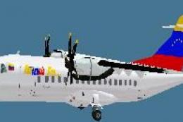
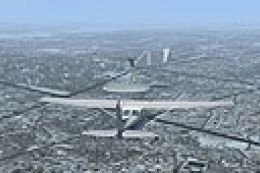
Scenery Caracas VFR - Venezuela. This scenery adds the tallest skyscrapers (over 100m) and most representative buildings, to Caracas city. Also adds highways (with vehicular traffic), avenues and streets, as well as rivers, streams,lakes, parks and golf courses. The SVFM runway was repositioned to the real coordinates. With a friendly auto-install. By David Maldonado.
Caracas VFR - Venezuela Scenery.
Caracas VFR - Venezuela Scenery.
Images & Screenshots

Finding the Scenery
- FSX/Prepar3D Coordinates:
-
10.48060000,-66.90360000
Use the downloaded flight plan file by launching FSX/P3D, selecting "Load Flight Plan" in the flight planner, and choosing the .pln file. Your aircraft will be positioned directly at the add-on’s location. - Decimal Degrees (DD):
-
Latitude: 10.480600°
Longitude: -66.903600° - Degrees, Minutes, Seconds (DMS):
-
Latitude: 10° 28' 50.160" N
Longitude: 66° 54' 12.960" W
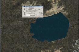
Map Location
The archive ccs_fsx.zip has 10 files and directories contained within it.
File Contents
This list displays the first 500 files in the package. If the package has more, you will need to download it to view them.
| Filename/Directory | File Date | File Size |
|---|---|---|
| CCS_04.jpg | 06.02.10 | 502.97 kB |
| Manual Caracas VFR para FSX.pdf | 06.03.10 | 1.10 MB |
| FILE_ID.diz | 06.04.10 | 405 B |
| CCS_VFR.gif | 06.01.10 | 10.25 kB |
| CCS_00.jpg | 06.02.10 | 392.86 kB |
| CCS_02.jpg | 06.02.10 | 550.09 kB |
| CCS_03.jpg | 06.02.10 | 490.36 kB |
| ccs_vfr_fsx.exe | 06.04.10 | 21.64 MB |
| flyawaysimulation.txt | 10.29.13 | 959 B |
| Go to Fly Away Simulation.url | 01.22.16 | 52 B |
Installation Instructions
Most of the freeware add-on aircraft and scenery packages in our file library come with easy installation instructions which you can read above in the file description. For further installation help, please see our Flight School for our full range of tutorials or view the README file contained within the download. If in doubt, you may also ask a question or view existing answers in our dedicated Q&A forum.

0 comments
Leave a Response