FSX Grand Forks Int'l Airport Scenery
Grand Forks International Airport (KGFK) scenery refreshes the North Dakota field in FSX with the newly constructed runway, cleaner taxiway signage, and corrected airport objects. Updated local terrain adds water landmarks for VFR checkpoints, while instrument procedures include current waypoint names plus added and refreshed approaches, built with Airport Design Editor.
 United States of America
 - File: kgfk11.zip
- Size:344.6 KB
- Scan:
Clean (10d)

- Access:Freeware
- Content:Everyone
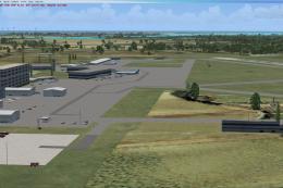
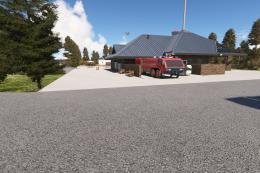
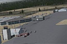
Scenery Grand Forks Int'l Airport. This scenery updates Grand Forks International Airport (KGFK), North Dakota (ND). This is an updated version of the original scenery addon KGFK10 that contained the newly constructed runway. This update includes several bug fixes, such as removal of duplicate taxiway signs and other objects. It also includes updated local scenery to more closely match the actual airport. Local bodies of water used as visual checkpoints have also been added. All instrument approaches have been updated for currency, to include correct waypoint names and procedures. Several missing instrument approaches have also been added. The airport was updated using Airport Design Editor. By Raymond Mills.
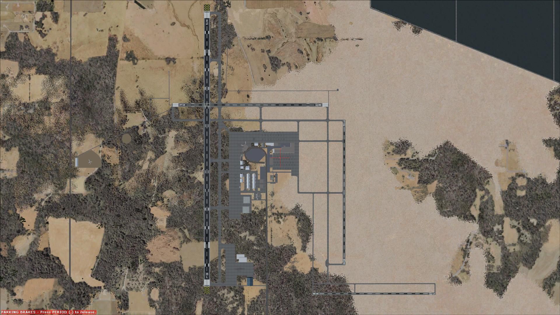
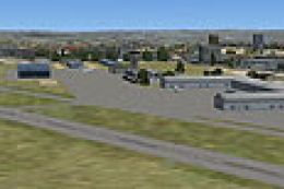
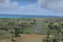
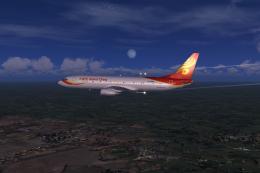
Overview of Grand Forks Int'l Airport.
Installation:
Extract both files to your Addon Scenery/scenery folder.
This scenery addon is realesed as Freeware. USE AT YOUR OWN RISK. The author makes no warranty expressed or implied as to the fitness of this addon and takes no responsibility for harm caused to the user's computer.
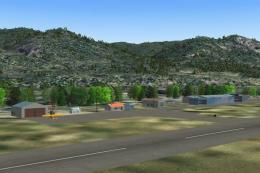
Images & Screenshots

Finding the Scenery
- FSX/Prepar3D Coordinates:
-
47.94930000,-97.17610000
Use the downloaded flight plan file by launching FSX/P3D, selecting "Load Flight Plan" in the flight planner, and choosing the .pln file. Your aircraft will be positioned directly at the add-on’s location. - Decimal Degrees (DD):
-
Latitude: 47.949300°
Longitude: -97.176100° - Degrees, Minutes, Seconds (DMS):
-
Latitude: 47° 56' 57.480" N
Longitude: 97° 10' 33.960" W
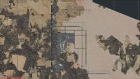
Map Location
The archive kgfk11.zip has 7 files and directories contained within it.
File Contents
This list displays the first 500 files in the package. If the package has more, you will need to download it to view them.
| Filename/Directory | File Date | File Size |
|---|---|---|
| FILE_ID.DIZ | 10.20.10 | 692 B |
| KGFK11.jpg | 10.20.10 | 328.18 kB |
| KGFK_ADEX_RDM.BGL | 10.20.10 | 37.05 kB |
| KGFK_ADEX_RDM_CVX.bgl | 10.20.10 | 2.76 kB |
| ReadMe.txt | 10.20.10 | 1.06 kB |
| flyawaysimulation.txt | 10.29.13 | 959 B |
| Go to Fly Away Simulation.url | 01.22.16 | 52 B |
Installation Instructions
Most of the freeware add-on aircraft and scenery packages in our file library come with easy installation instructions which you can read above in the file description. For further installation help, please see our Flight School for our full range of tutorials or view the README file contained within the download. If in doubt, you may also ask a question or view existing answers in our dedicated Q&A forum.

0 comments
Leave a Response