FSX Manton Airfield Scenery
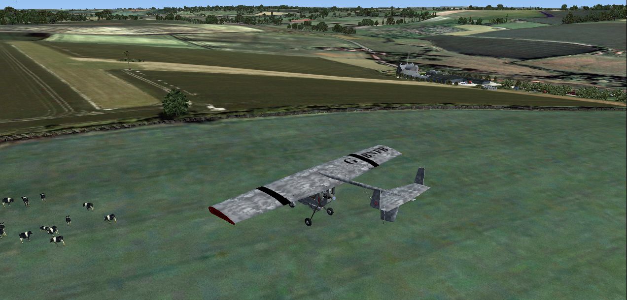
Manton Airfield in the UK brings a distinctive short, undulating strip and steep 1-in-6 taxiway down to the hangars, turning microlight operations into a precision exercise with rewarding climbs back up. Built for Microsoft Flight Simulator X, it requires Neil’s Microlights South-West and complements Horizon VFR terrain.


 United Kingdom
 - File: manton.zip
- Size:17.25 MB
- Scan:
Clean (24d)

- Access:Freeware
- Content:Everyone
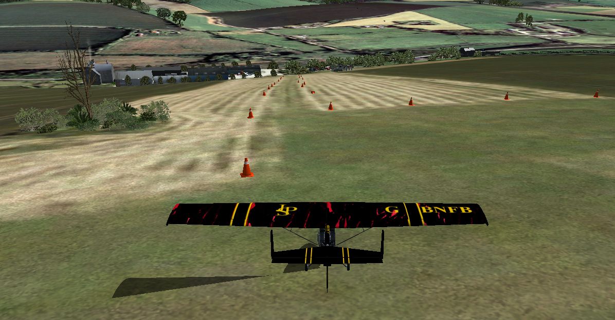
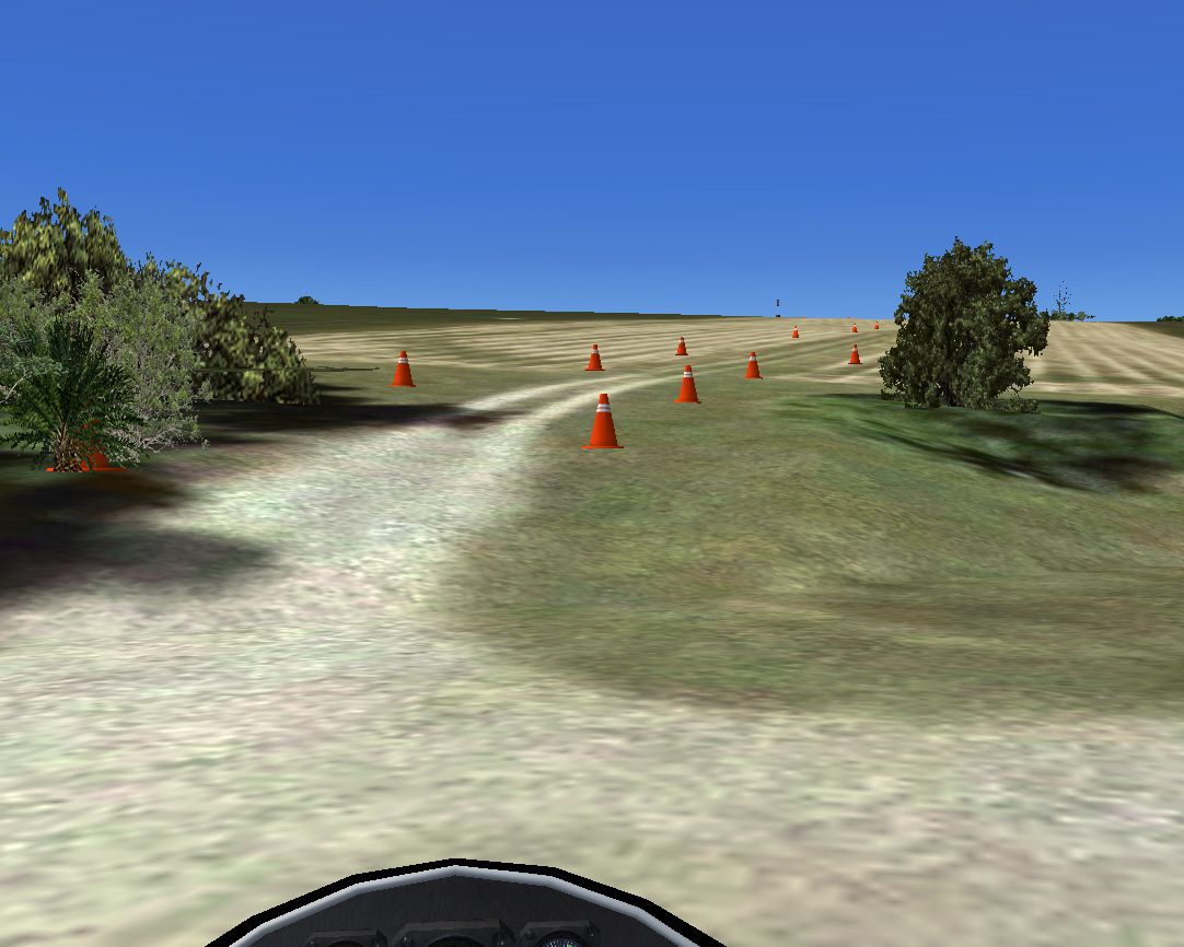
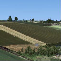
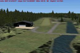
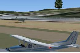
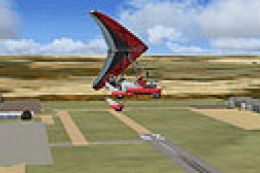
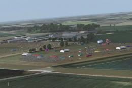
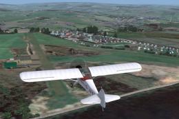
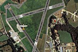
Manton Airfield, UK. For users of Neil's Microlights South-West although it can be used with the default Horizon VFR sceneries as well although the scenery will not be visible. Quite a short strip but with a hump in the middle (courtesy of Horizon's terrain model) the most challenging part is the taxi down the 1 in 6 taxiway to the hangars/factory, the trip back up is something else but can easily be accomplished by the default ultralight--a very challenging ride. By Neil Birch.
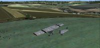
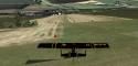
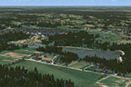
Aerial view of Manton Airfield.

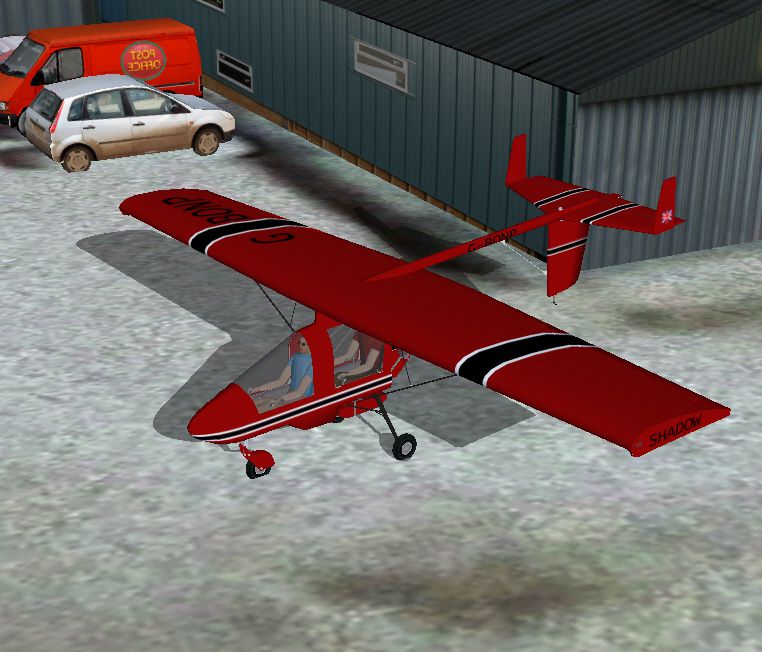
Screenshot of Manton Airfield.
Images & Screenshots

Finding the Scenery
- FSX/Prepar3D Coordinates:
-
51.41000000,-1.77000000
Use the downloaded flight plan file by launching FSX/P3D, selecting "Load Flight Plan" in the flight planner, and choosing the .pln file. Your aircraft will be positioned directly at the add-on’s location. - Decimal Degrees (DD):
-
Latitude: 51.410000°
Longitude: -1.770000° - Degrees, Minutes, Seconds (DMS):
-
Latitude: 51° 24' 36.000" N
Longitude: 1° 46' 12.000" W
Map Location
The archive manton.zip has 20 files and directories contained within it.
File Contents
This list displays the first 500 files in the package. If the package has more, you will need to download it to view them.
| Filename/Directory | File Date | File Size |
|---|---|---|
| approach.jpg | 12.19.10 | 581.69 kB |
| Manton.DIZ | 12.19.10 | 572 B |
| read-me.rtf | 12.19.10 | 1.26 kB |
| scenery | 12.19.10 | 0 B |
| CVX_Manton.BGL | 12.19.10 | 275 B |
| is-manton.bgl | 12.19.10 | 6.89 kB |
| Manton.bgl | 12.18.10 | 160 B |
| Manton2004.BGL | 12.18.10 | 549 B |
| Manton-p.bgl | 12.19.10 | 13.70 MB |
| sounds-manton.BGL | 12.19.10 | 467 B |
| South-East-Airport-Buildings.bgl | 12.18.10 | 184.23 kB |
| screen-shot.jpg | 12.19.10 | 46.94 kB |
| steep taxiway.jpg | 12.19.10 | 469.92 kB |
| streak.jpg | 12.19.10 | 298.49 kB |
| texture | 12.19.10 | 0 B |
| hangar-76.dds | 12.18.10 | 5.33 MB |
| the long way back up.jpg | 12.19.10 | 403.11 kB |
| the long way down.jpg | 12.19.10 | 537.42 kB |
| flyawaysimulation.txt | 10.29.13 | 959 B |
| Go to Fly Away Simulation.url | 01.22.16 | 52 B |
Installation Instructions
Most of the freeware add-on aircraft and scenery packages in our file library come with easy installation instructions which you can read above in the file description. For further installation help, please see our Flight School for our full range of tutorials or view the README file contained within the download. If in doubt, you may also ask a question or view existing answers in our dedicated Q&A forum.


0 comments
Leave a Response