FSX Fowl Cay Scenery
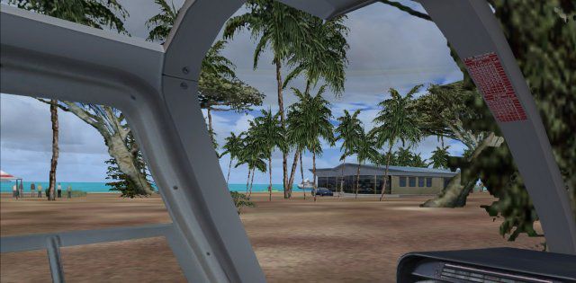
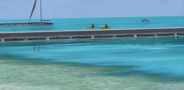
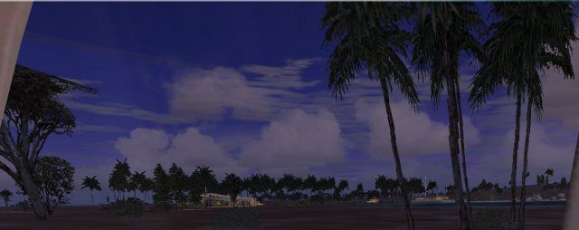
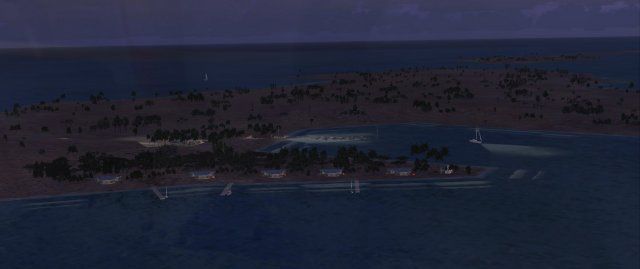
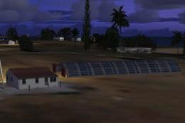
Fowl Cay brings a private resort island in the Bahamas to life with detailed shoreline scenery, lively resort touches, animated people, circling seagulls, and playful dolphins to enrich low-and-slow approaches and seaplane fly-bys in FSX. It requires Flight Simulator Gold Acceleration for full compatibility and effects.


 Bahamas
 - File: myxa_fsxp.zip
- Size:399.37 KB
- Scan:
Clean (29d)

- Access:Freeware
- Content:Everyone
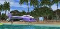
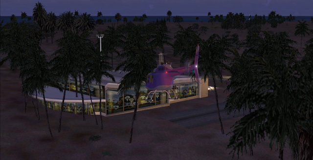
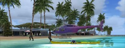
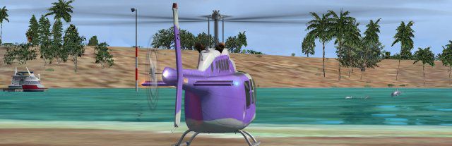
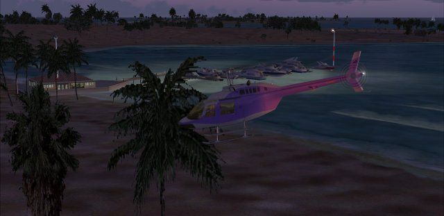
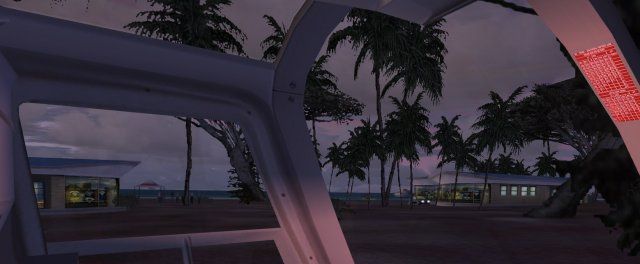
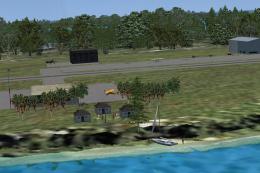
MYXA Fowl Cay private resort island with expensive rentals. FSX Gold Acceleration required. Includes people, flying sea gulls, dolphins playing and much more. By Jimmy R. Martin.
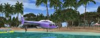
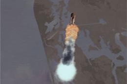
Screenshot of Fowl Cay Scenery.
FLIGHT SIMULATOR GOLD REQUIRED.
Place the two folders into your addon scenery folder.
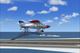
Screenshot of Fowl Cay Scenery.
Images & Screenshots

Finding the Scenery
- FSX/Prepar3D Coordinates:
-
24.20840000,-76.44990000
Use the downloaded flight plan file by launching FSX/P3D, selecting "Load Flight Plan" in the flight planner, and choosing the .pln file. Your aircraft will be positioned directly at the add-on’s location. - Decimal Degrees (DD):
-
Latitude: 24.208400°
Longitude: -76.449900° - Degrees, Minutes, Seconds (DMS):
-
Latitude: 24° 12' 30.240" N
Longitude: 76° 26' 59.640" W
Map Location
The archive myxa_fsxp.zip has 27 files and directories contained within it.
File Contents
This list displays the first 500 files in the package. If the package has more, you will need to download it to view them.
| Filename/Directory | File Date | File Size |
|---|---|---|
| file_id.diz | 01.16.12 | 186 B |
| Fowl Cay.txt | 01.16.12 | 571 B |
| installation.txt | 01.16.12 | 342 B |
| PS0366..jpg | 01.16.12 | 16.82 kB |
| PS0368..jpg | 01.16.12 | 53.88 kB |
| PS0369..jpg | 01.16.12 | 46.86 kB |
| PS0370..jpg | 01.16.12 | 45.53 kB |
| PS0371..jpg | 01.16.12 | 28.49 kB |
| PS0372..jpg | 01.16.12 | 25.97 kB |
| PS0373..jpg | 01.16.12 | 29.06 kB |
| PS0374..jpg | 01.16.12 | 35.98 kB |
| PS0376..jpg | 01.16.12 | 28.59 kB |
| PS0377..jpg | 01.16.12 | 32.92 kB |
| pspbrwse.jbf | 01.16.12 | 12.41 kB |
| Ramp Lighting.txt | 12.04.11 | 1.46 kB |
| scenery | 01.16.12 | 0 B |
| MYXA_ADEX_ADE.BGL | 01.16.12 | 1.13 kB |
| MYXA_ADEX_ADE.xml | 01.16.12 | 6.78 kB |
| MYXA_ADEX_XXX.ad2.ad2 | 01.16.12 | 26.23 kB |
| MYXA_FSXP_JRM.bgl | 01.16.12 | 7.51 kB |
| RampLight_Library.bgl | 01.11.05 | 30.63 kB |
| texture | 01.16.12 | 0 B |
| ESDG_ramp.BMP | 01.09.05 | 32.07 kB |
| ESDG_ramp_lm.BMP | 01.09.05 | 32.07 kB |
| MYXA_FSXP | 01.16.12 | 0 B |
| flyawaysimulation.txt | 10.29.13 | 959 B |
| Go to Fly Away Simulation.url | 01.22.16 | 52 B |
Installation Instructions
Most of the freeware add-on aircraft and scenery packages in our file library come with easy installation instructions which you can read above in the file description. For further installation help, please see our Flight School for our full range of tutorials or view the README file contained within the download. If in doubt, you may also ask a question or view existing answers in our dedicated Q&A forum.


0 comments
Leave a Response