AFCAD File For FVKB
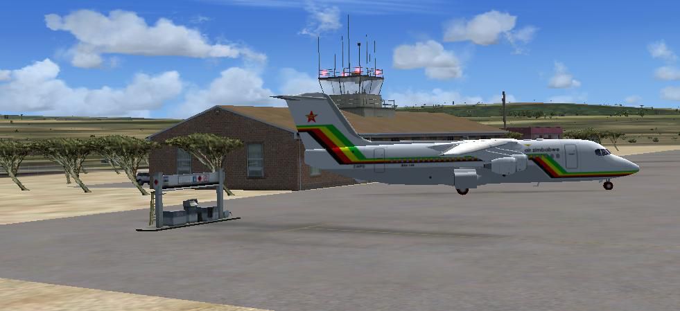
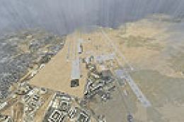
Kariba Airport (FVKB) in northern Zimbabwe gets a more realistic AFCAD that refines runway layout, parking, and airside operations for smoother traffic flow and navigation. Built for Microsoft Flight Simulator X, it reflects the 1,650-meter by 18-meter runway and core services suited to regional jets such as the BAe 146.

 Zimbabwe
 - File: fvkb.zip
- Size:517.65 KB
- Scan:
Clean (12d)

- Access:Freeware
- Content:Everyone
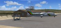
Kariba Airport, Kariba, Zimbabwe. A more realistic AFCAD File for Kariba Airport than the default airport. Created by Bashir Ismail.
Kariba Airport scenery.
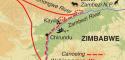
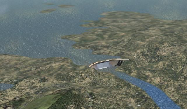
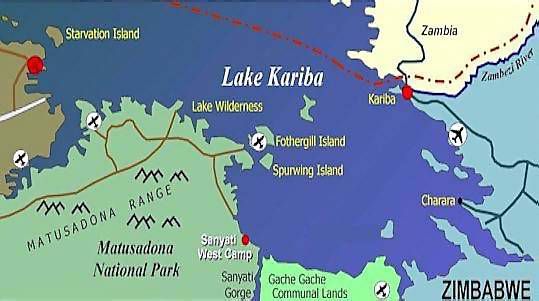
Kariba Airport is located in northern Zimbabwe close to the Kariba Dam, the largest man-made lake in the world, which provides a significant proportion of the country's electricity requirements. It is also a wildlife haven popular with nature loving tourists and venue for international tiger fishing contests.
The runway is 1650 meters long and 18 meters wide and can accommodate Bae146, or equivalent. The airport operates 12 hours per day. It offers air traffic services, customs and immigration control and aircraft parking.
Installation:
- Drop the FVKB.bgl and FVKB_cvx.BGL into your FSX/Addon scenery/scenery folder and away you go!
I have tried to make it close to realistic as possible using Airport Scenery Creator v1.40.07 and the objects that are available for use from FSX SP2 - Acceleration.
Images & Screenshots

Finding the Scenery
- FSX/Prepar3D Coordinates:
-
-16.51980000,28.88400000
Use the downloaded flight plan file by launching FSX/P3D, selecting "Load Flight Plan" in the flight planner, and choosing the .pln file. Your aircraft will be positioned directly at the add-on’s location. - Decimal Degrees (DD):
-
Latitude: -16.519800°
Longitude: 28.884000° - Degrees, Minutes, Seconds (DMS):
-
Latitude: 16° 31' 11.280" S
Longitude: 28° 53' 02.400" E
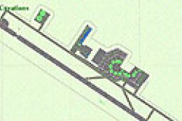
Map Location
The archive fvkb.zip has 13 files and directories contained within it.
File Contents
This list displays the first 500 files in the package. If the package has more, you will need to download it to view them.
| Filename/Directory | File Date | File Size |
|---|---|---|
| File_ID.diz | 05.16.09 | 258 B |
| FVKB Readme.txt | 05.16.09 | 2.11 kB |
| FVKB.BGL | 05.16.09 | 9.36 kB |
| FVKB_CVX.bgl | 05.16.09 | 484 B |
| Kariba Airport.jpg | 05.15.09 | 50.50 kB |
| Kariba Photo | 05.16.09 | 0 B |
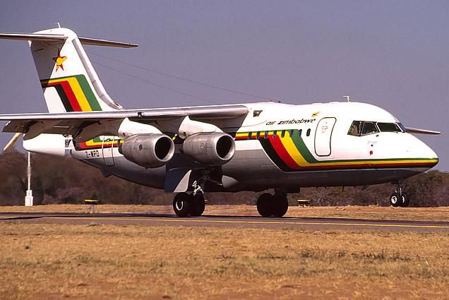
| Bae 146 at Kariba Airport.jpg | 05.16.09 | 46.79 kB |
| Kariba Dam in FSX.jpg | 05.15.09 | 41.44 kB |
| kariba-matusadona.jpg | 05.14.09 | 28.65 kB |
| Lake kariba.jpg | 05.14.09 | 320.53 kB |
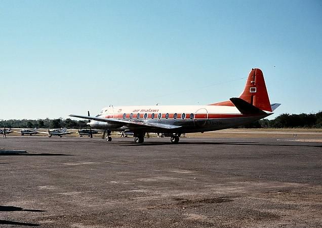
| Viscount at Kariba Airport.jpg | 05.16.09 | 47.52 kB |
| flyawaysimulation.txt | 10.29.13 | 959 B |
| Go to Fly Away Simulation.url | 01.22.16 | 52 B |
Installation Instructions
Most of the freeware add-on aircraft and scenery packages in our file library come with easy installation instructions which you can read above in the file description. For further installation help, please see our Flight School for our full range of tutorials or view the README file contained within the download. If in doubt, you may also ask a question or view existing answers in our dedicated Q&A forum.


0 comments
Leave a Response