FSX Scenery--CanarFsX
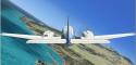
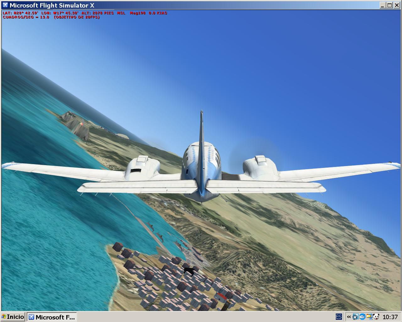
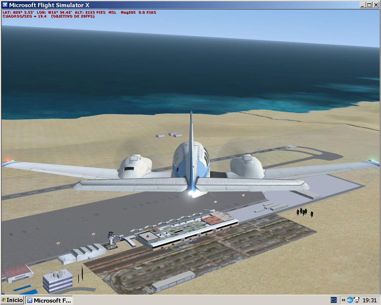
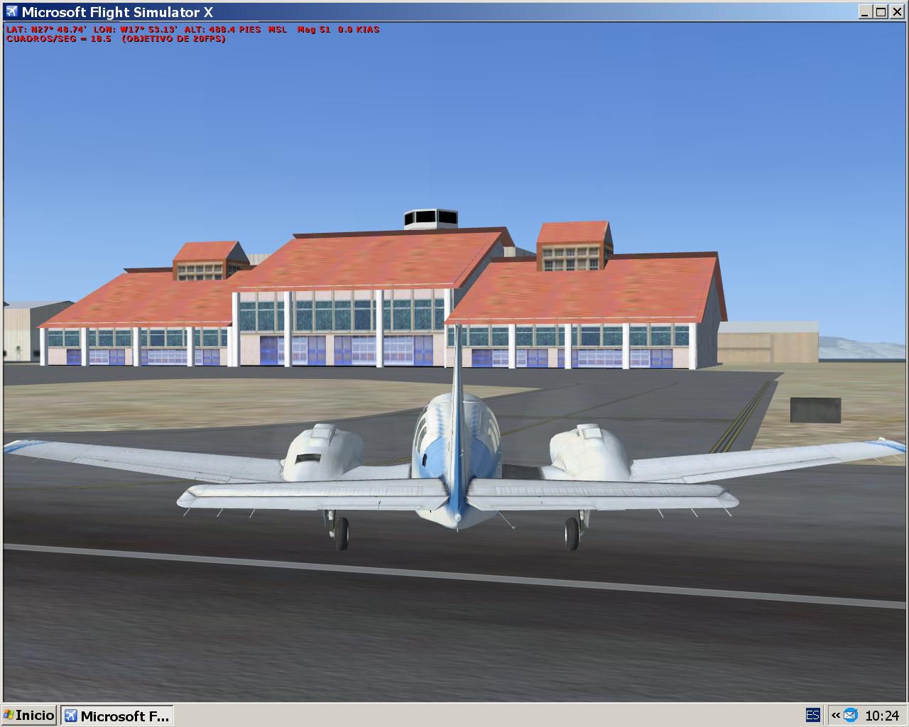
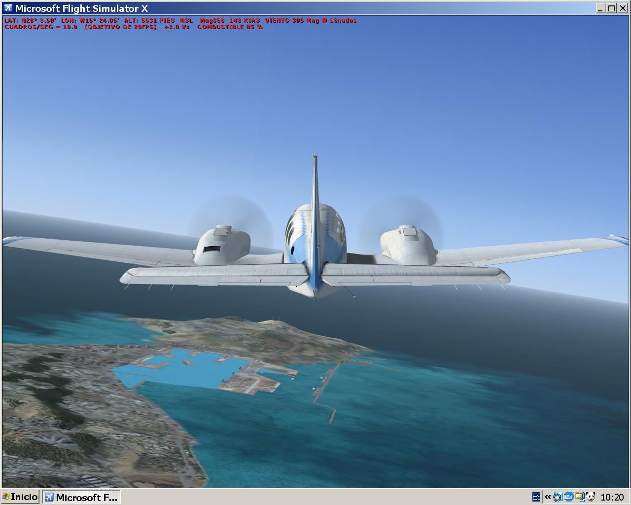
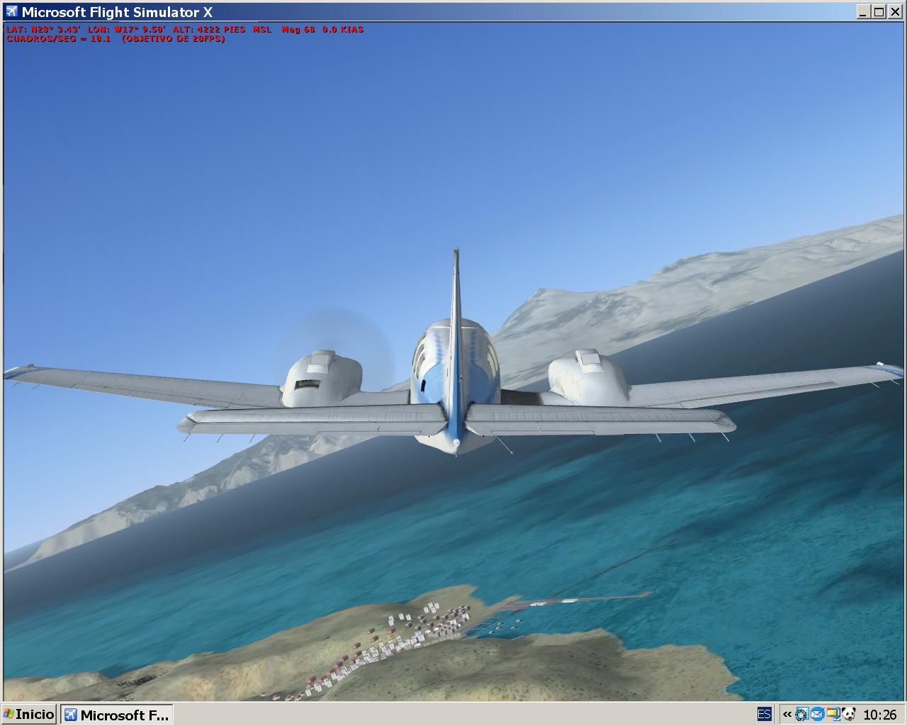
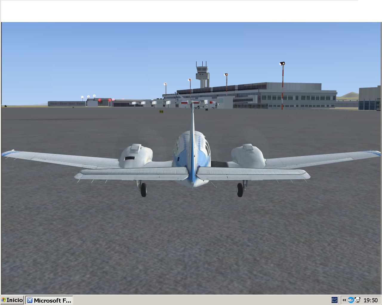
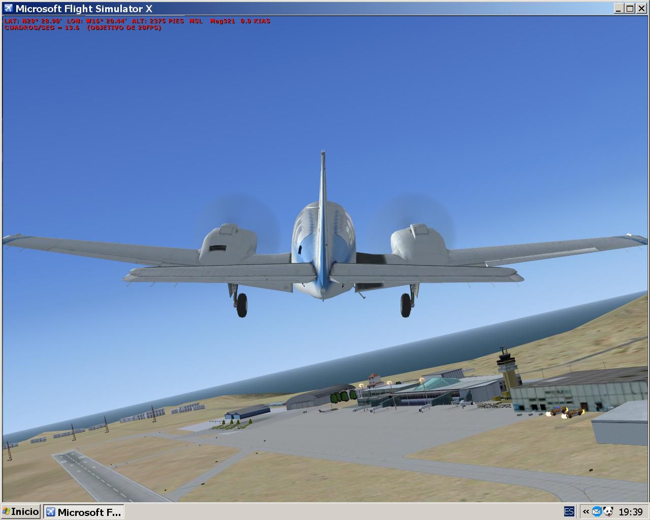
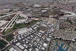
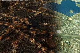
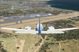
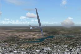
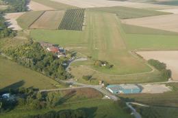
CanarFsX brings the Canary Islands to life with detailed VFR and IFR scenery that emphasizes real-world terrain, coastlines, and landmark features for more confident island-hopping and approaches. Built for Microsoft Flight Simulator X, it enhances situational awareness from cruise to final with region-focused visual cues and a cohesive look across the archipelago.

 Spain
Spain - File: canarfsx.zip
- Size:31.44 MB
- Scan:
Clean (27d)

- Access:Freeware
- Content:Everyone
Images & Screenshots


Finding the Scenery
- FSX/Prepar3D Coordinates:
-
28.29160000,-16.62910000
Use the downloaded flight plan file by launching FSX/P3D, selecting "Load Flight Plan" in the flight planner, and choosing the .pln file. Your aircraft will be positioned directly at the add-on’s location. - Decimal Degrees (DD):
-
Latitude: 28.291600°
Longitude: -16.629100° - Degrees, Minutes, Seconds (DMS):
-
Latitude: 28° 17' 29.760" N
Longitude: 16° 37' 44.760" W
Map Location
The archive canarfsx.zip has 20 files and directories contained within it.
File Contents
This list displays the first 500 files in the package. If the package has more, you will need to download it to view them.
| Filename/Directory | File Date | File Size |
|---|---|---|
| GCHI.JPG | 11.11.06 | 123.78 kB |
| GCLA.JPG | 11.12.06 | 158.25 kB |
| GCRR.JPG | 11.10.06 | 106.21 kB |
| GCXO.JPG | 11.10.06 | 99.39 kB |
| HarborPalmaGC.JPG | 11.12.06 | 106.66 kB |
| Leame.txt | 11.12.06 | 4.33 kB |
| NDB.TXT | 09.28.03 | 1.38 kB |
| Readme.txt | 11.12.06 | 4.43 kB |
| Scenery.zip | 11.12.06 | 3.52 MB |
| TeideVolcano.JPG | 11.12.06 | 106.42 kB |
| Texture.zip | 11.12.06 | 26.99 MB |
| VOR.TXT | 09.28.03 | 1.03 kB |
| AIRPORTS.TXT | 09.28.03 | 1.63 kB |
| CanarFsX.JPG | 11.10.06 | 137.12 kB |
| Candelaria.JPG | 09.27.03 | 85.33 kB |
| Configuration1.JPG | 11.12.06 | 75.17 kB |
| Configuration.JPG | 11.12.06 | 74.20 kB |
| File_ID.DIZ | 11.12.06 | 247 B |
| flyawaysimulation.txt | 10.29.13 | 959 B |
| Go to Fly Away Simulation.url | 01.22.16 | 52 B |
Installation Instructions
Most of the freeware add-on aircraft and scenery packages in our file library come with easy installation instructions which you can read above in the file description. For further installation help, please see our Flight School for our full range of tutorials or view the README file contained within the download. If in doubt, you may also ask a question or view existing answers in our dedicated Q&A forum.


0 comments
Leave a Response