


 MSFS Scenery
Italy 20 M Terrain Mesh (DEM)
This pack by the developer who simply goes by the name of Chris brings the me…
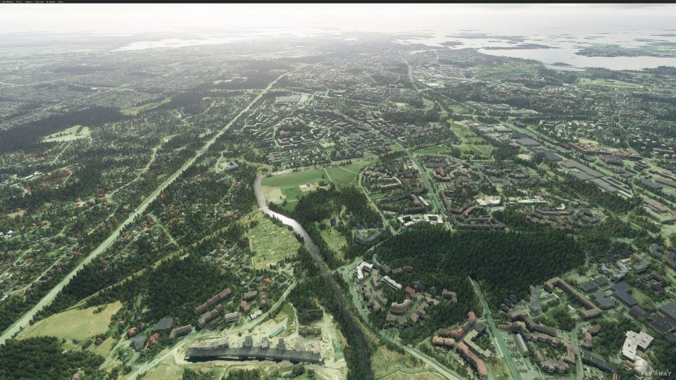
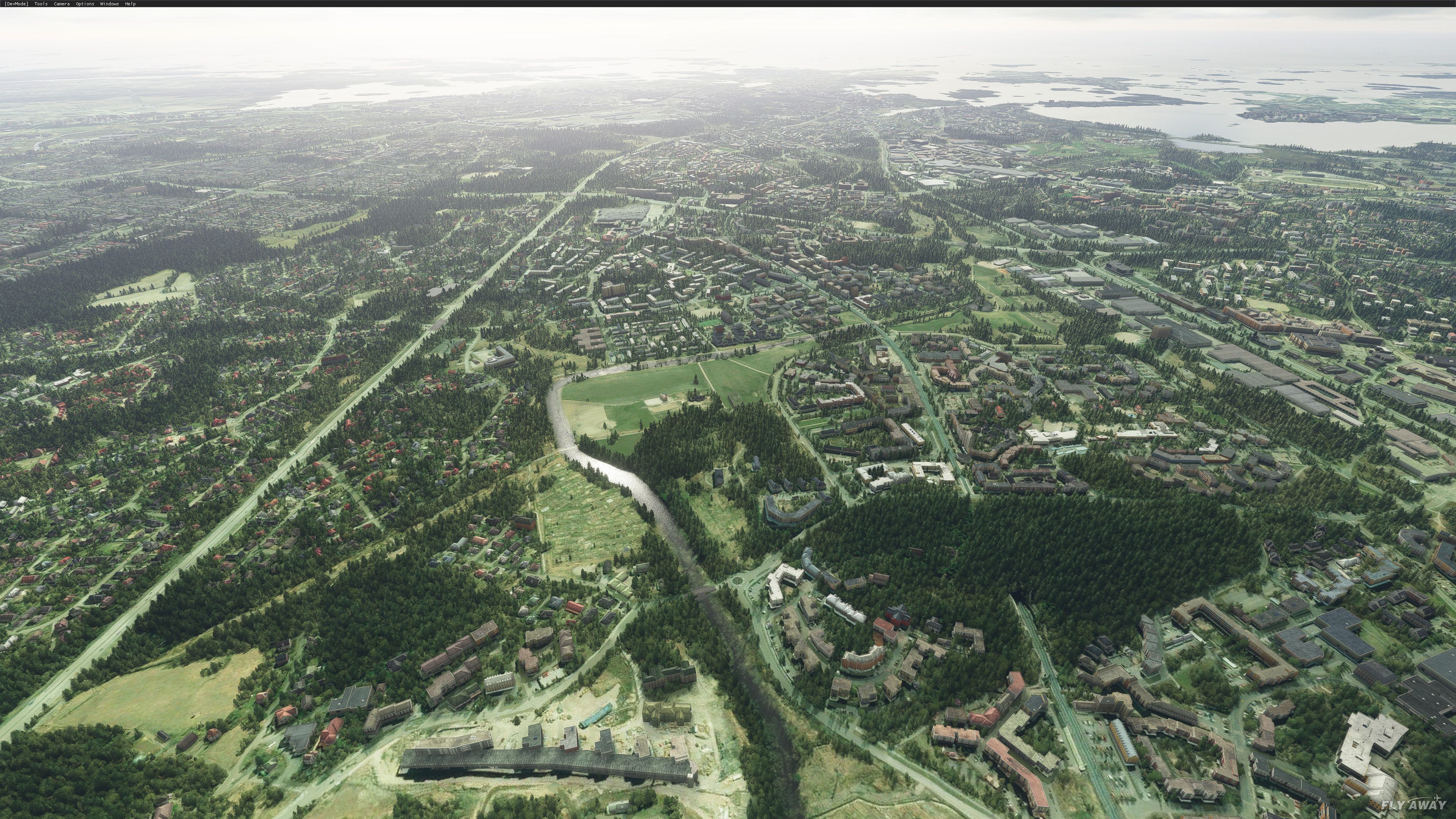
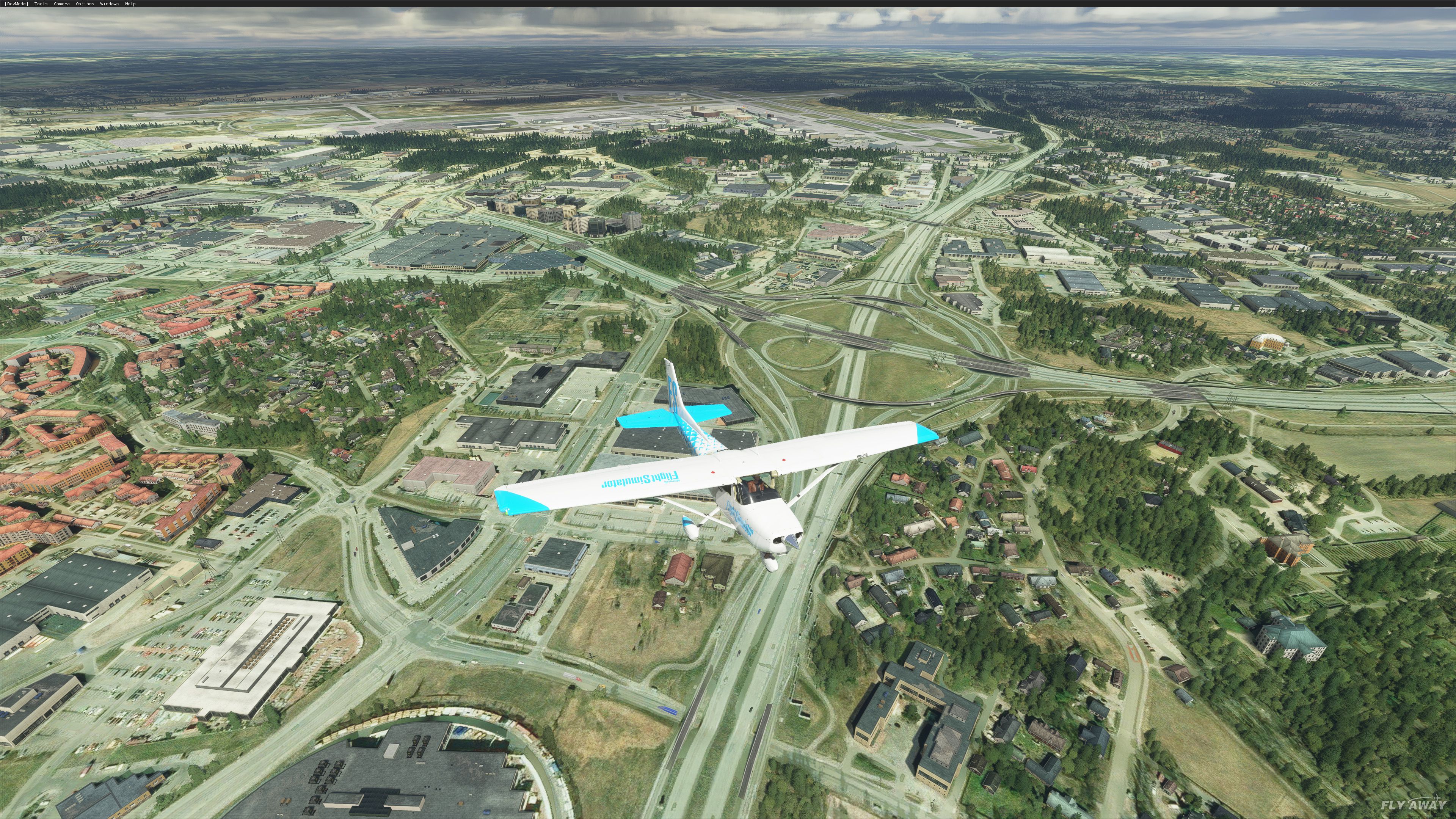
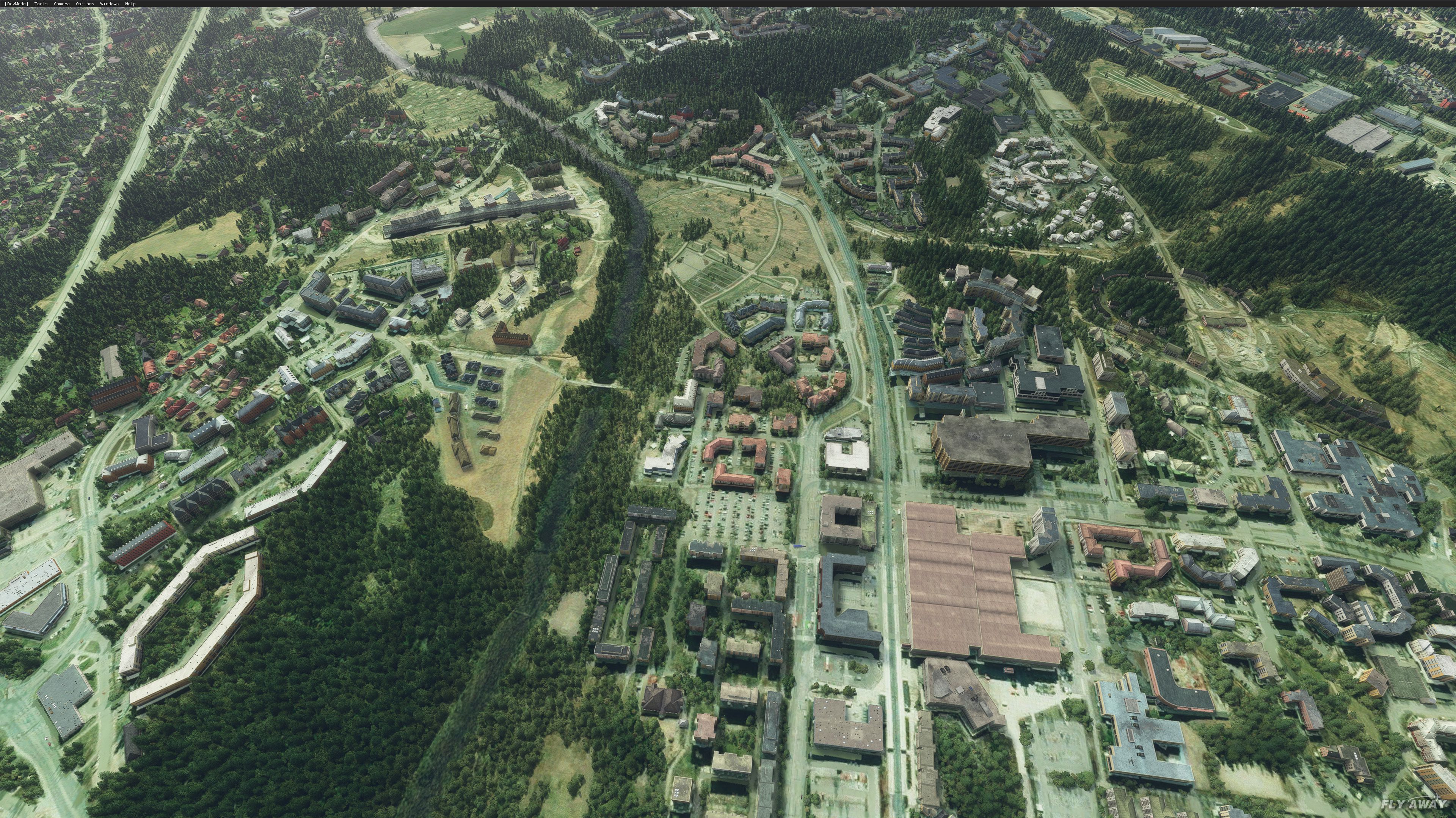
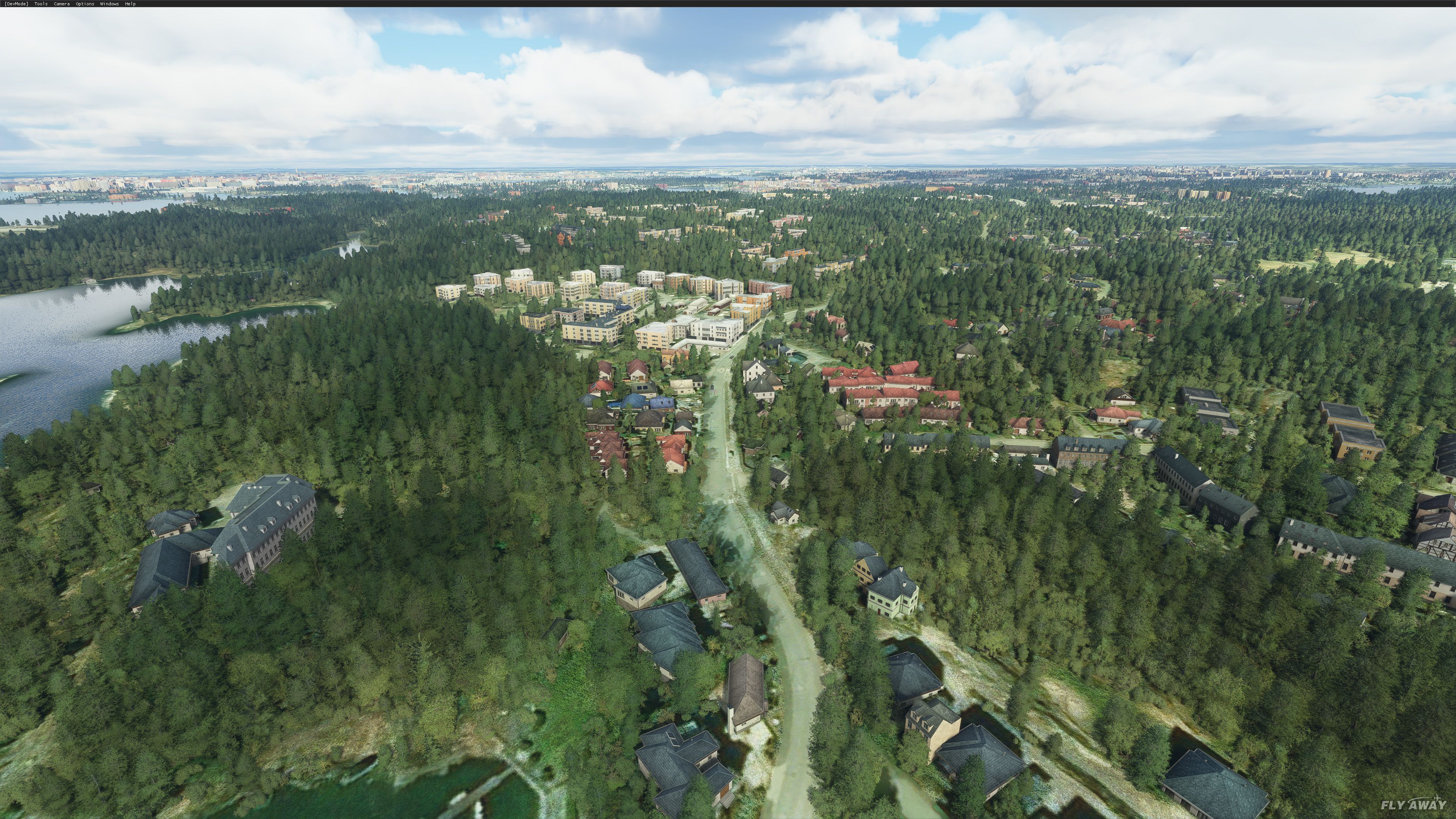
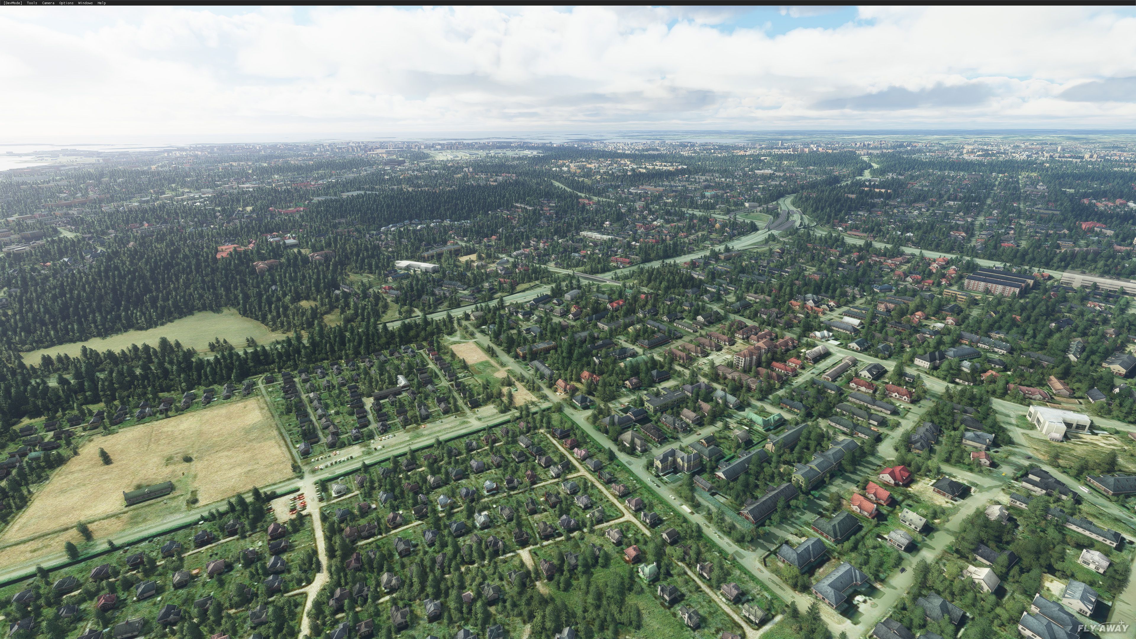
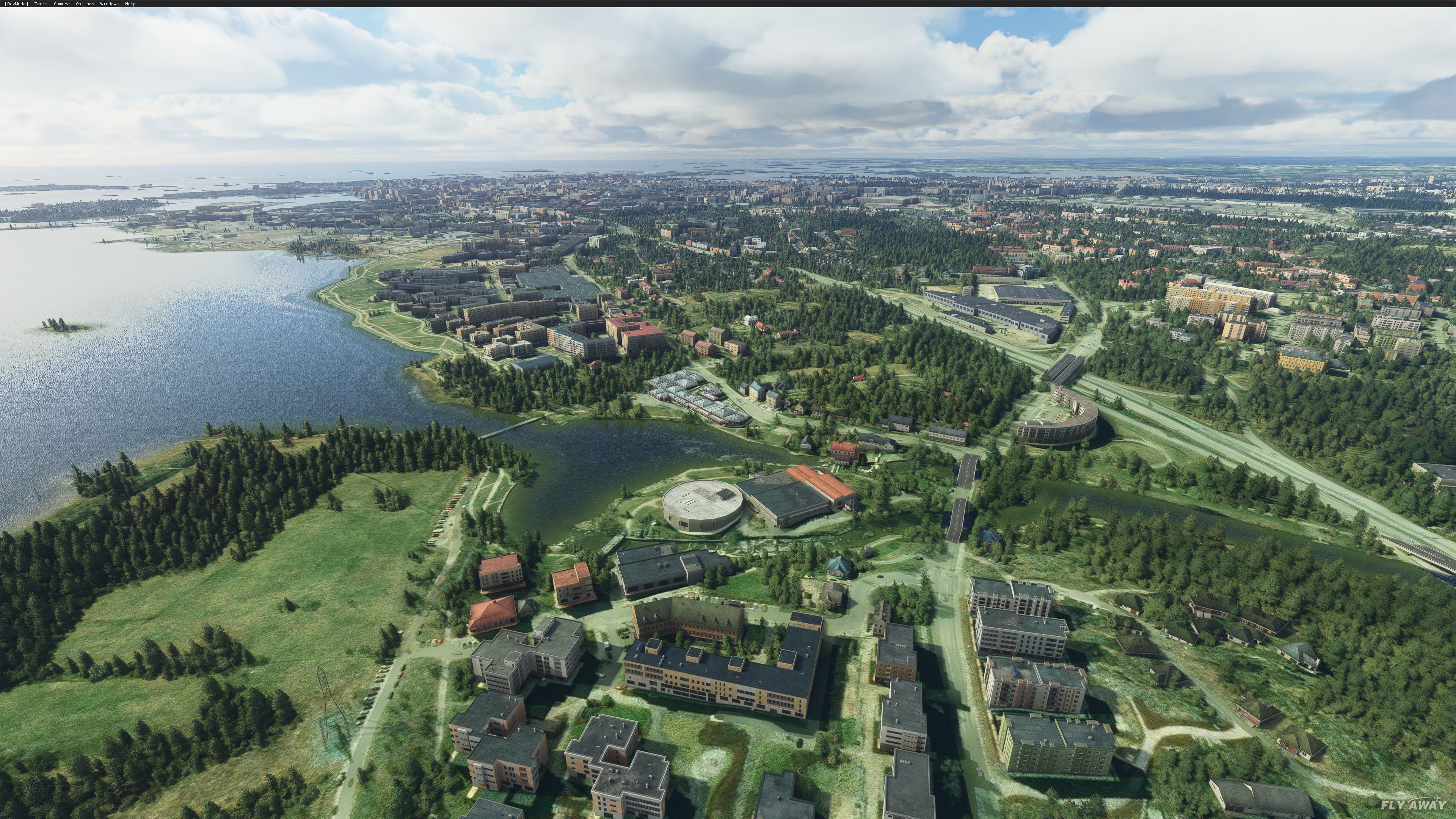
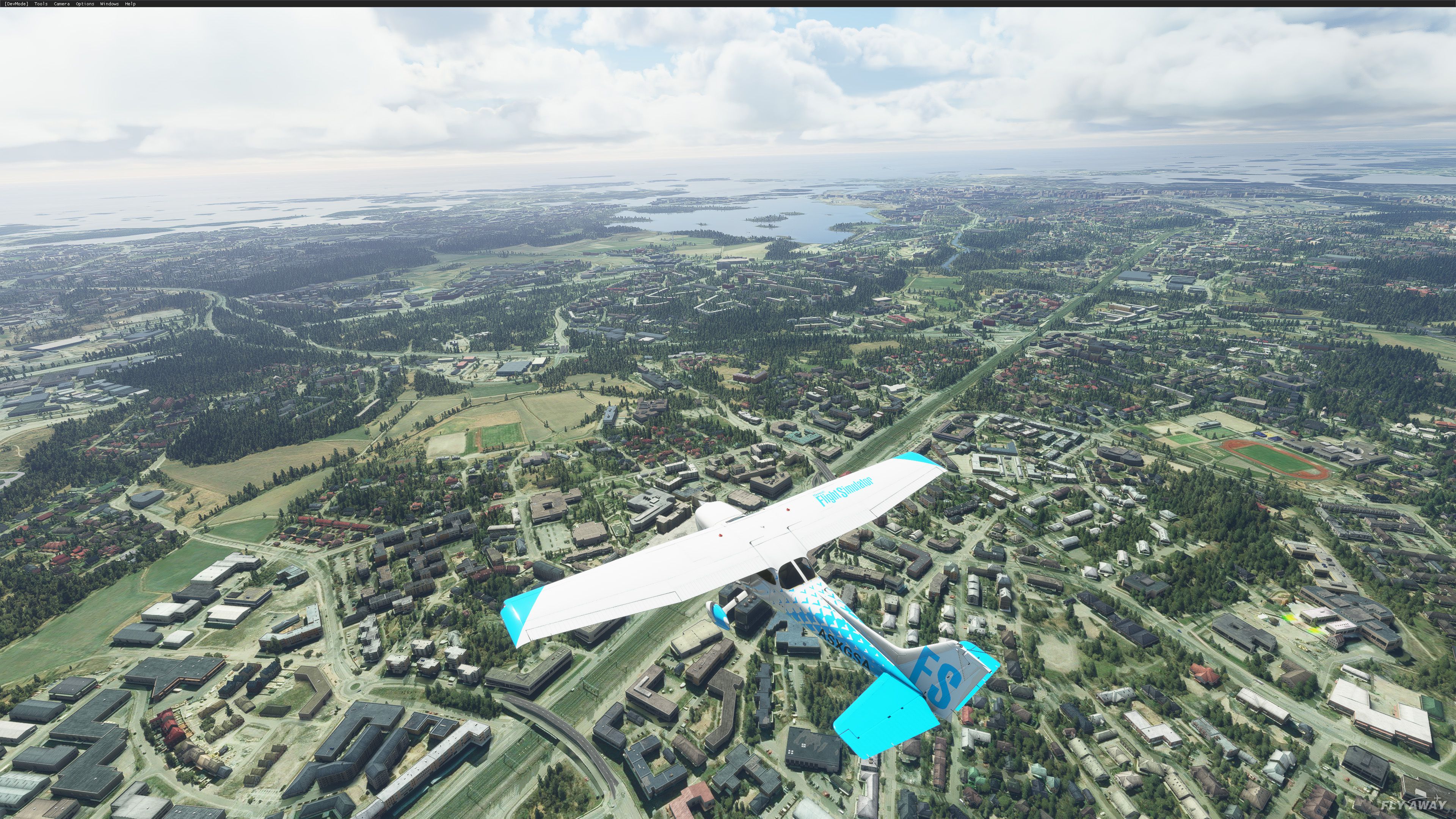
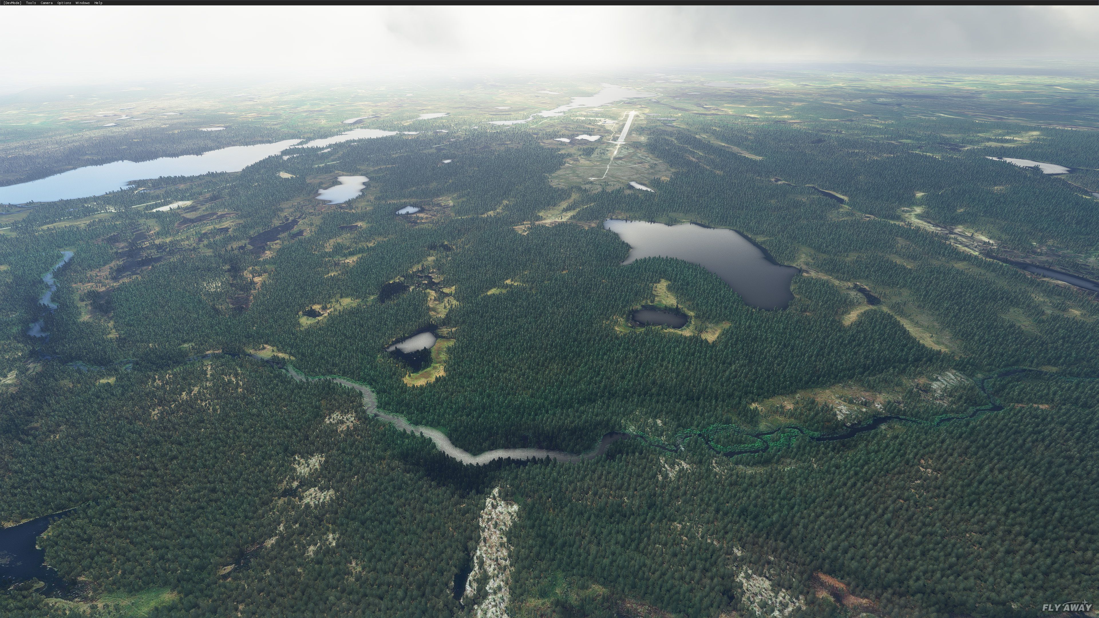
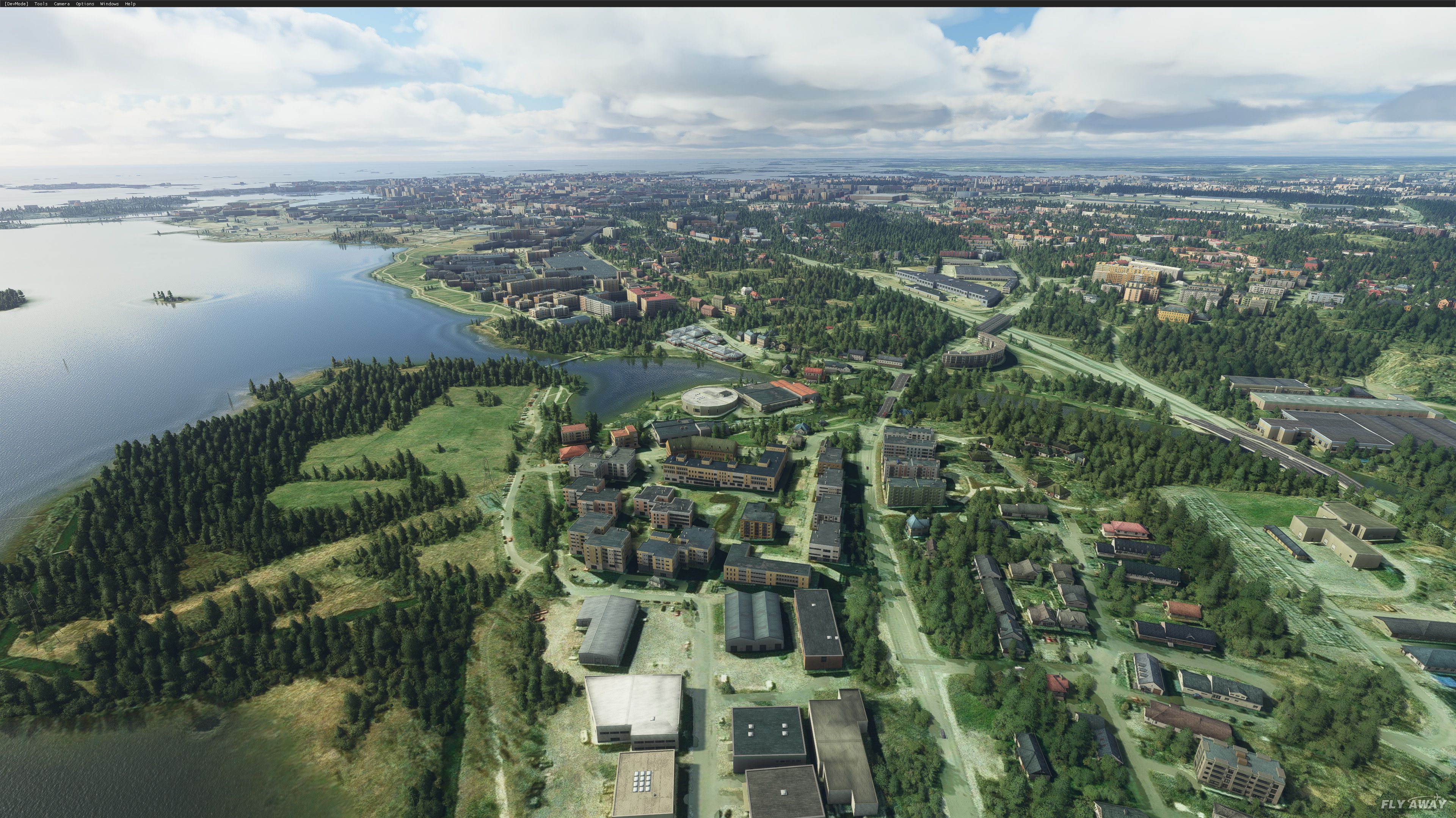
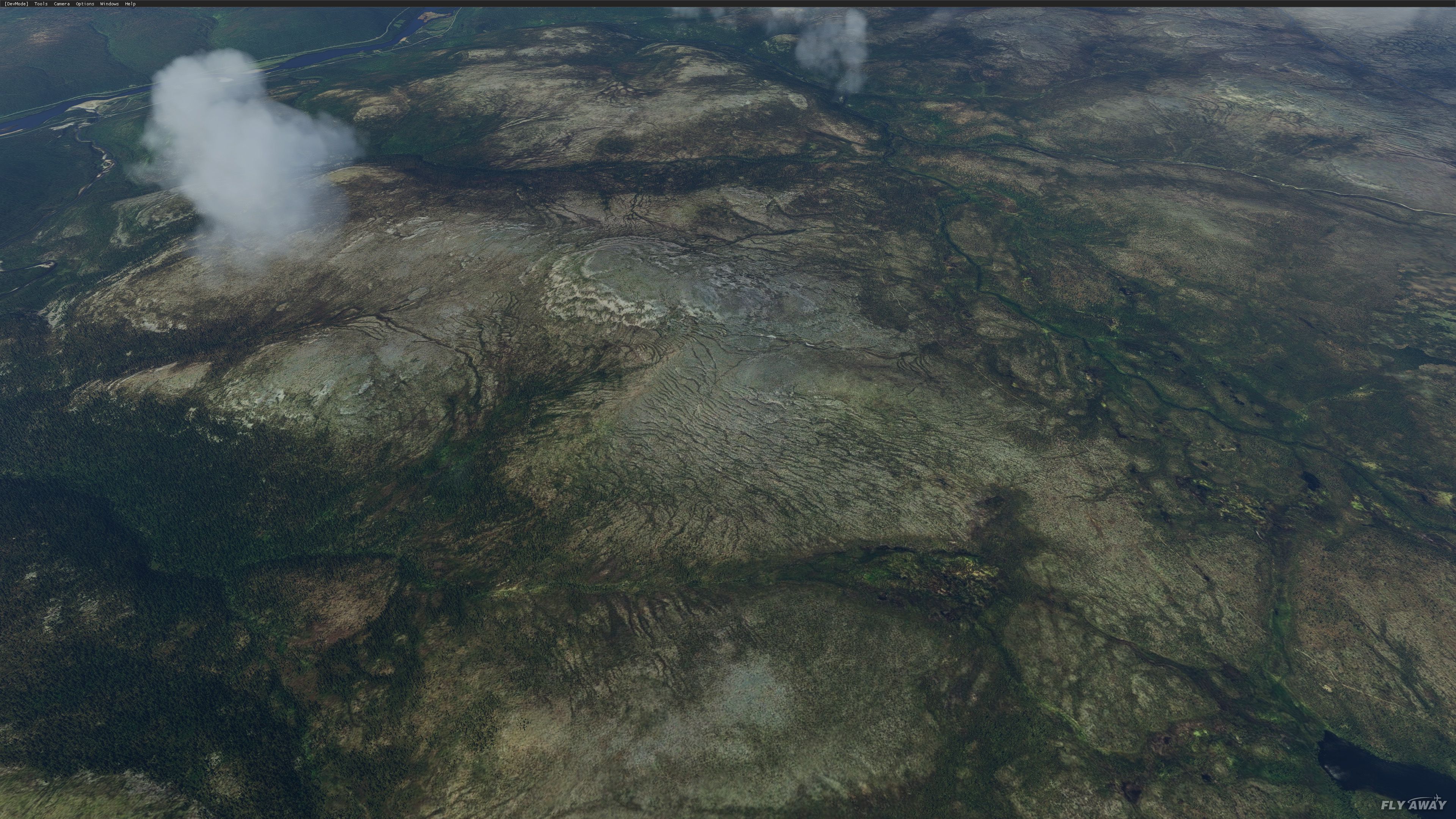
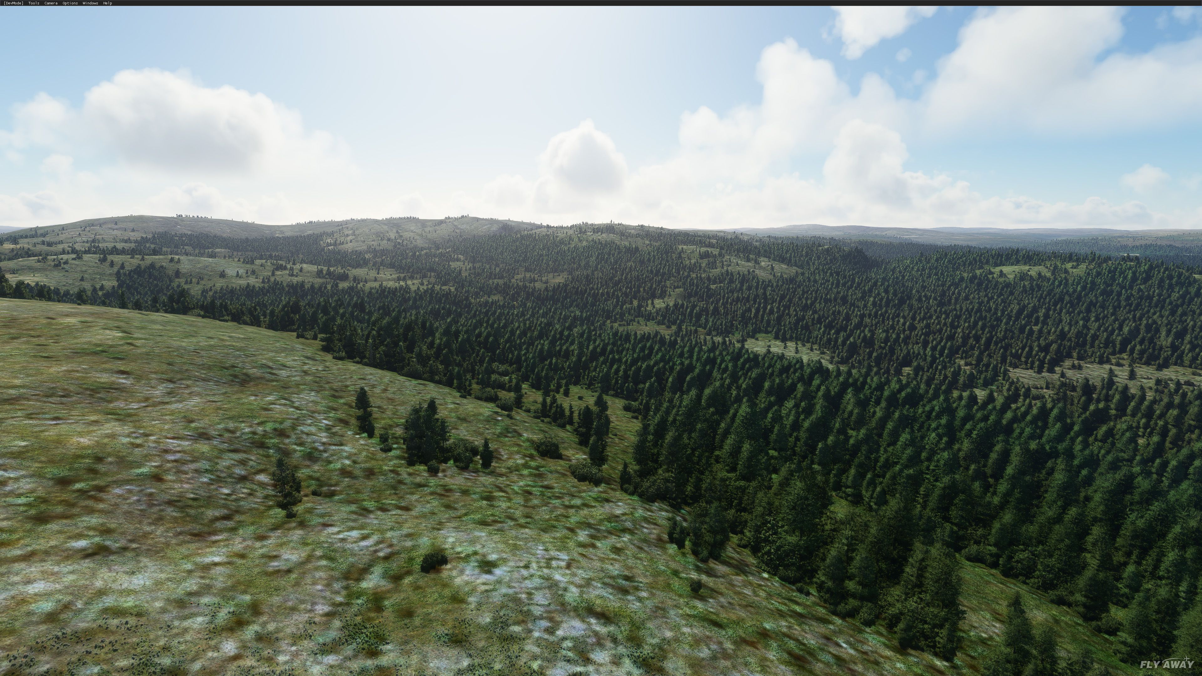
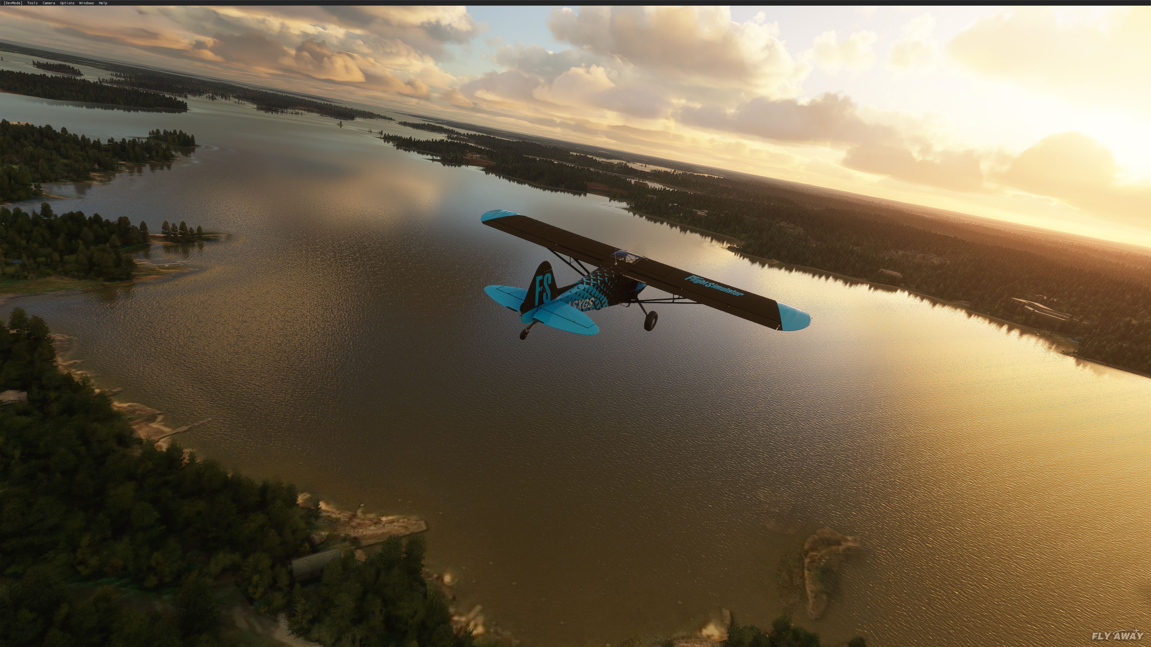
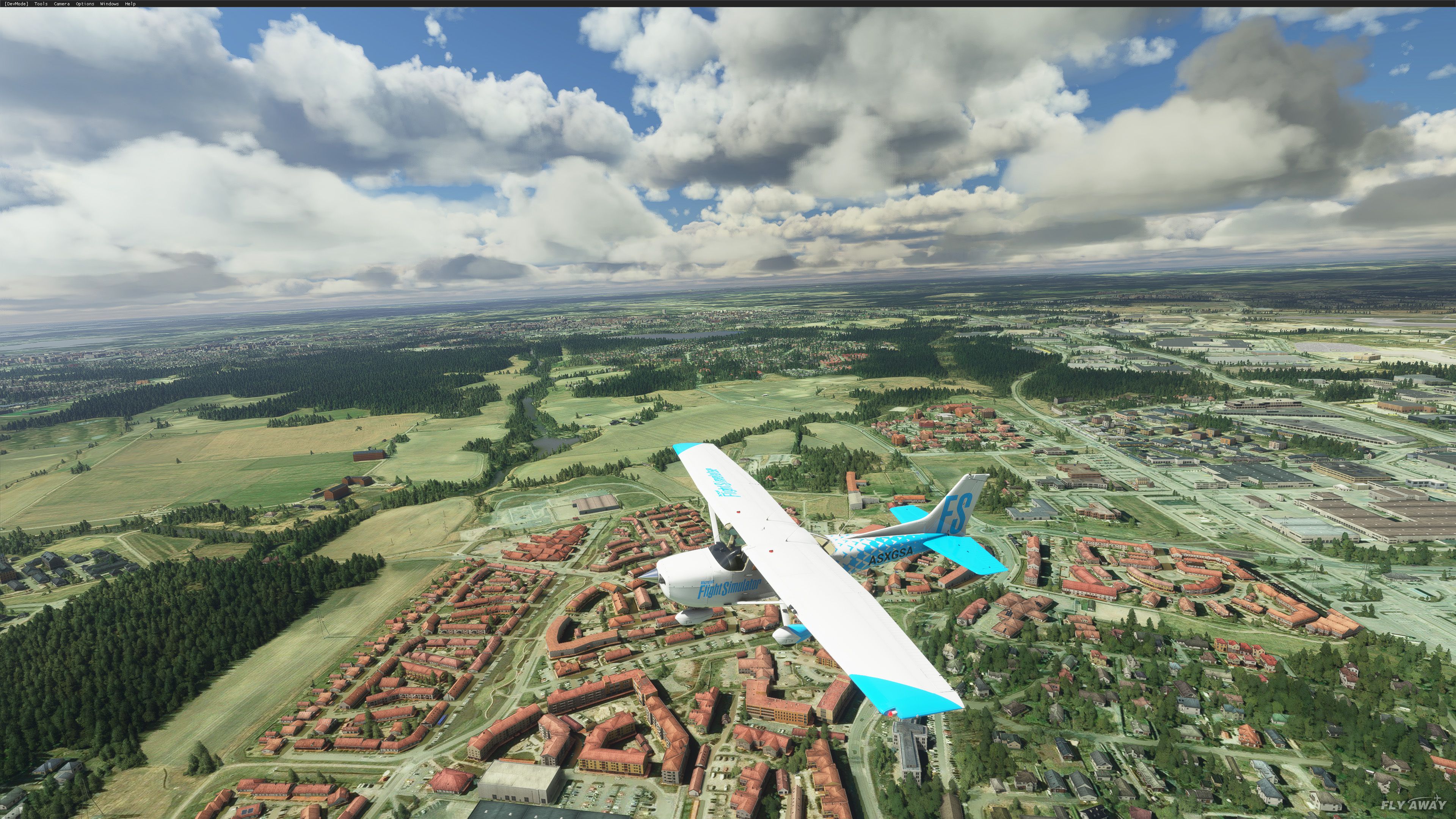
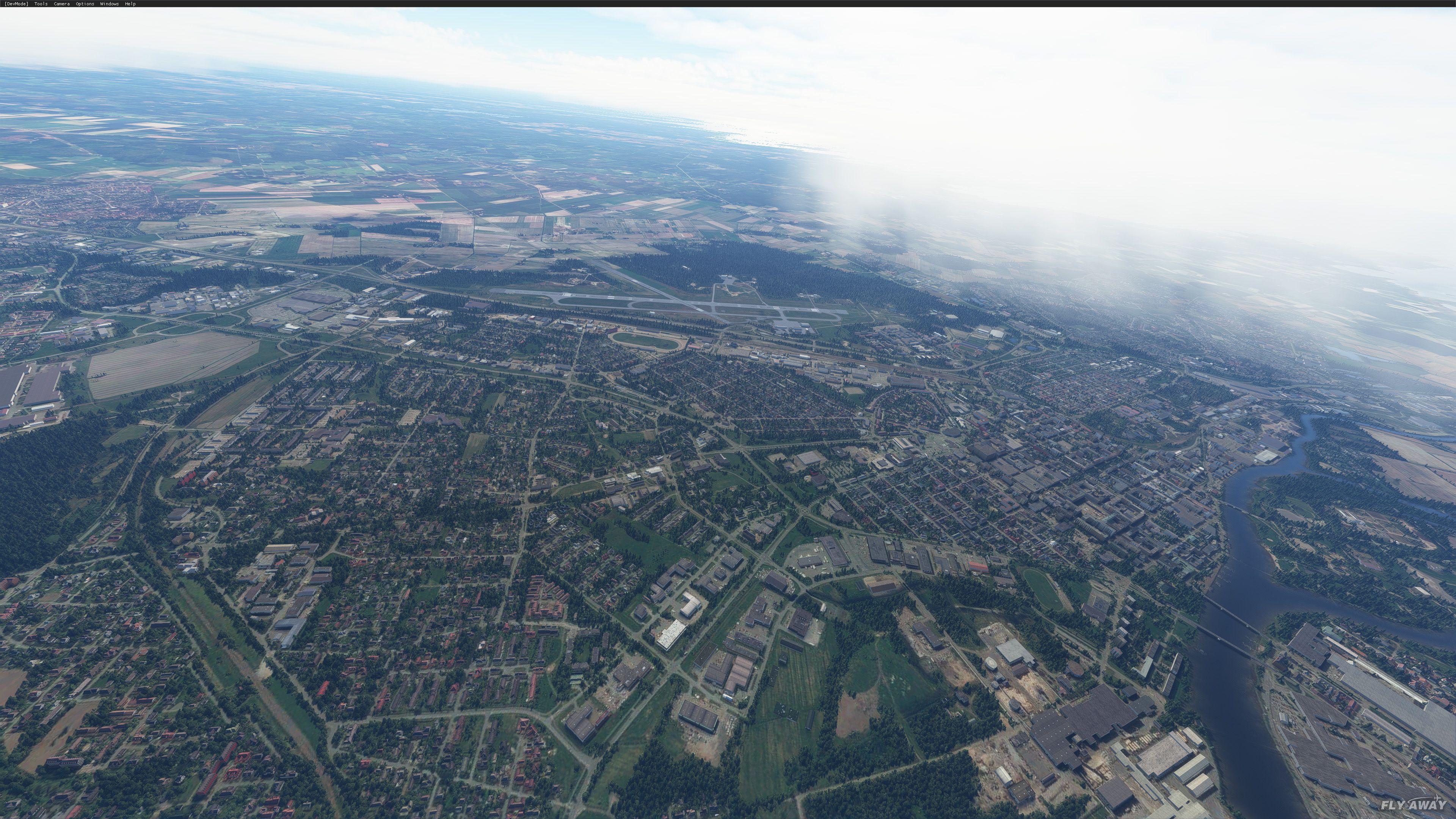
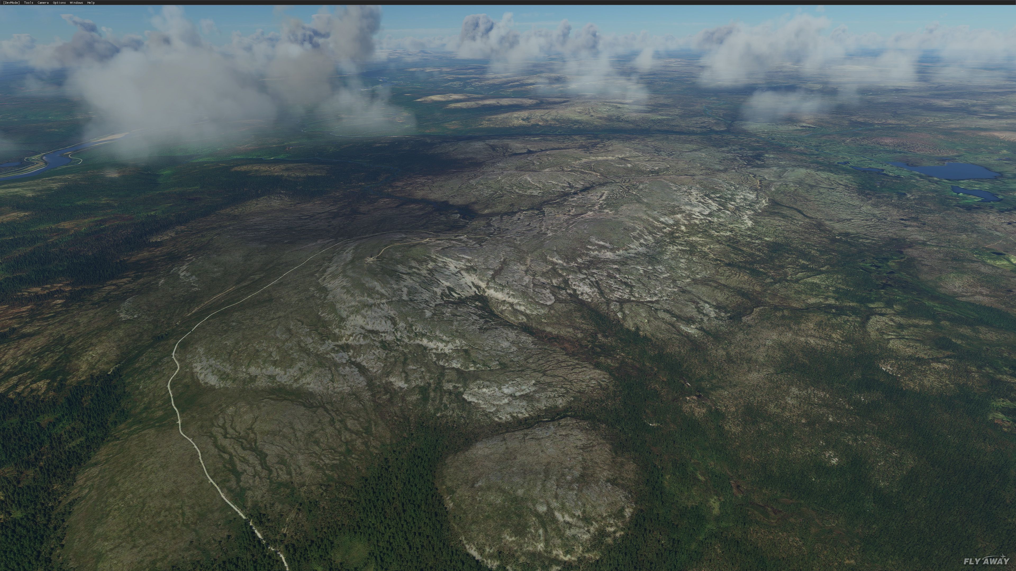
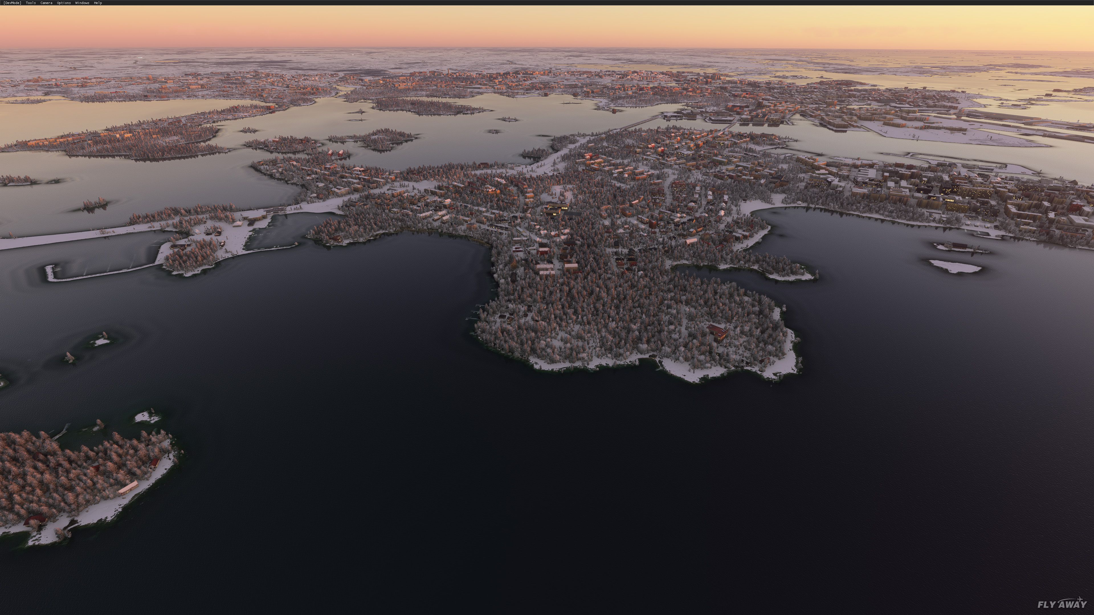
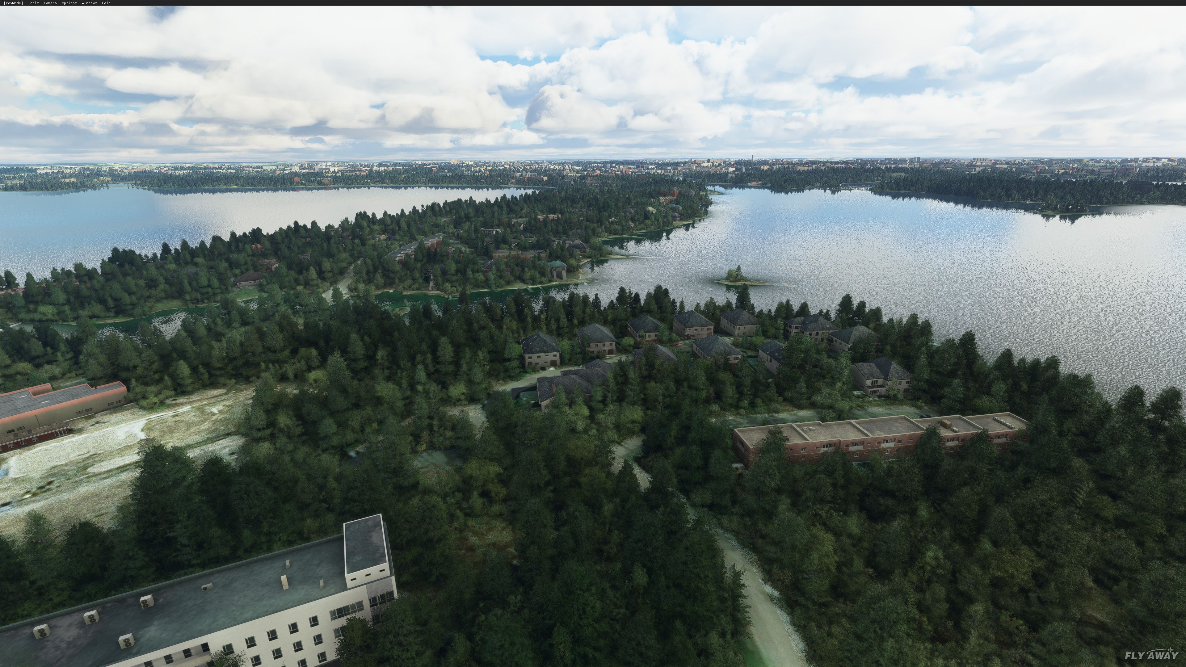
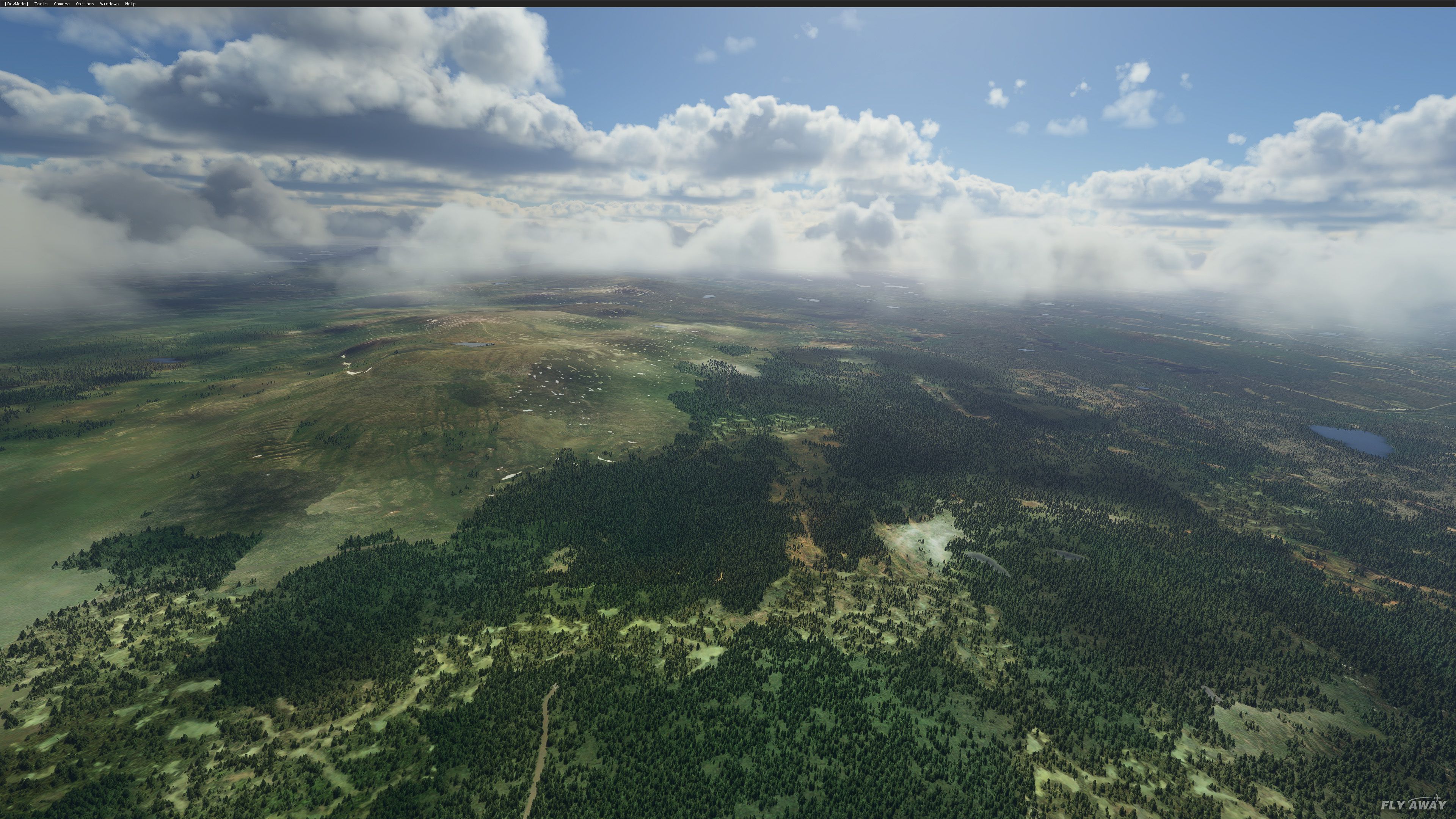
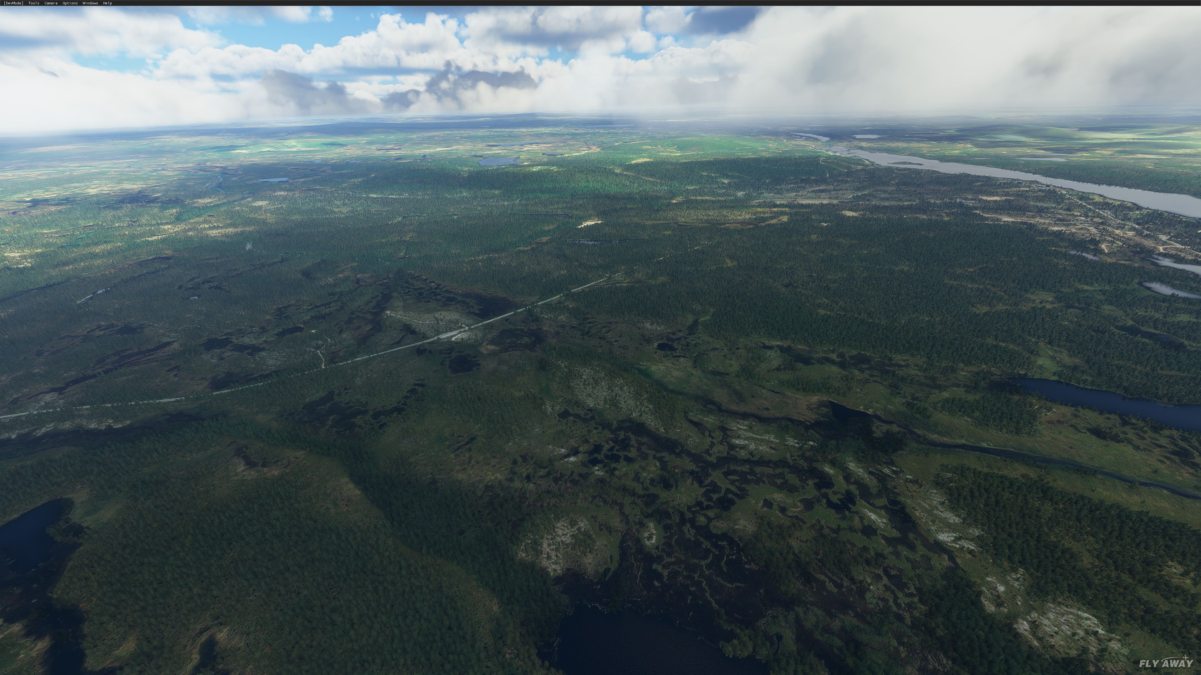
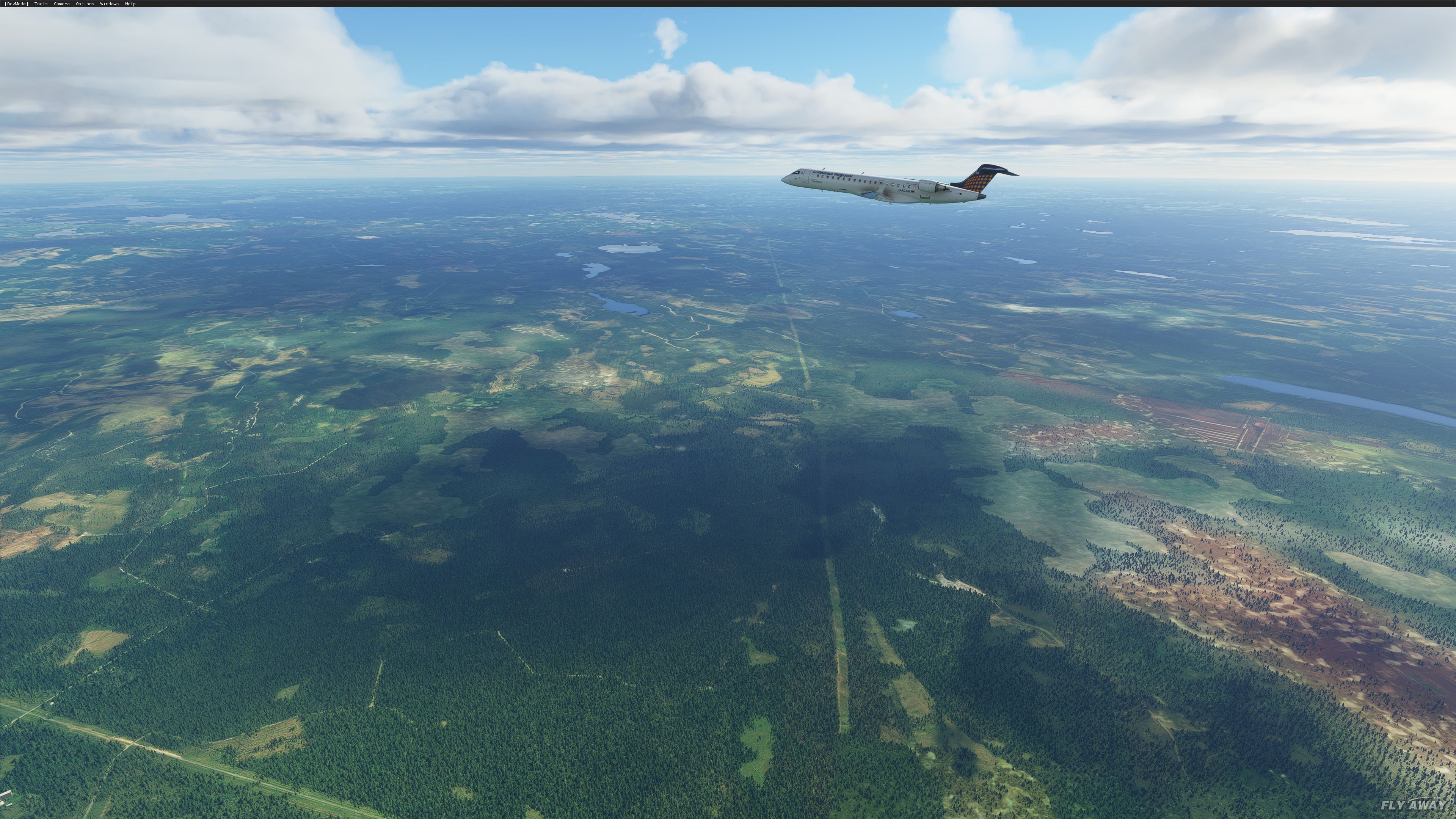
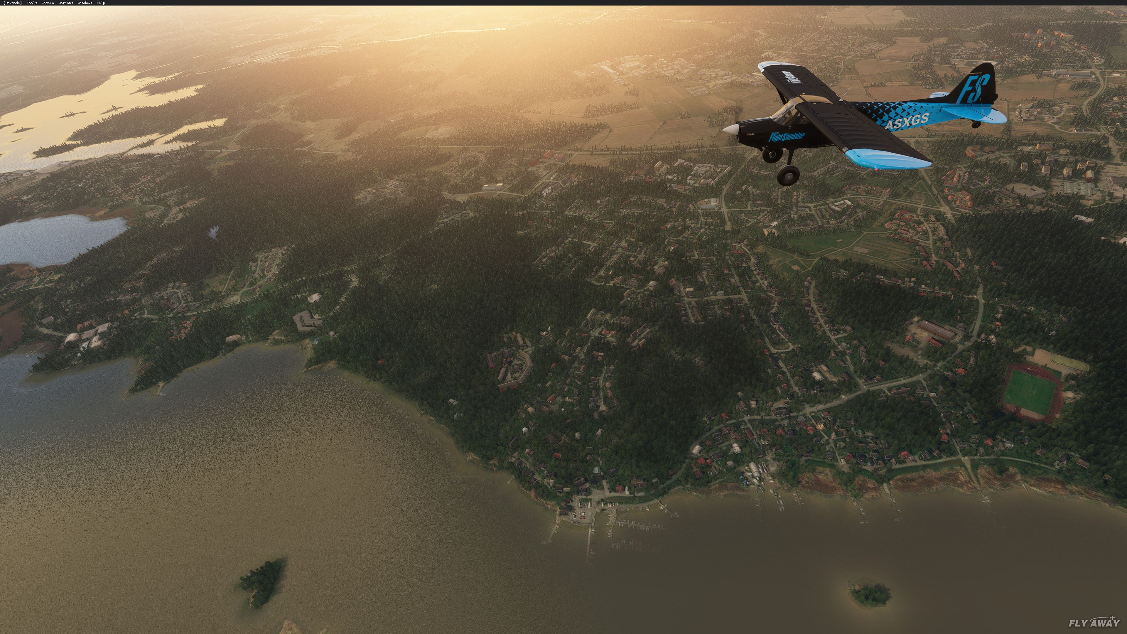
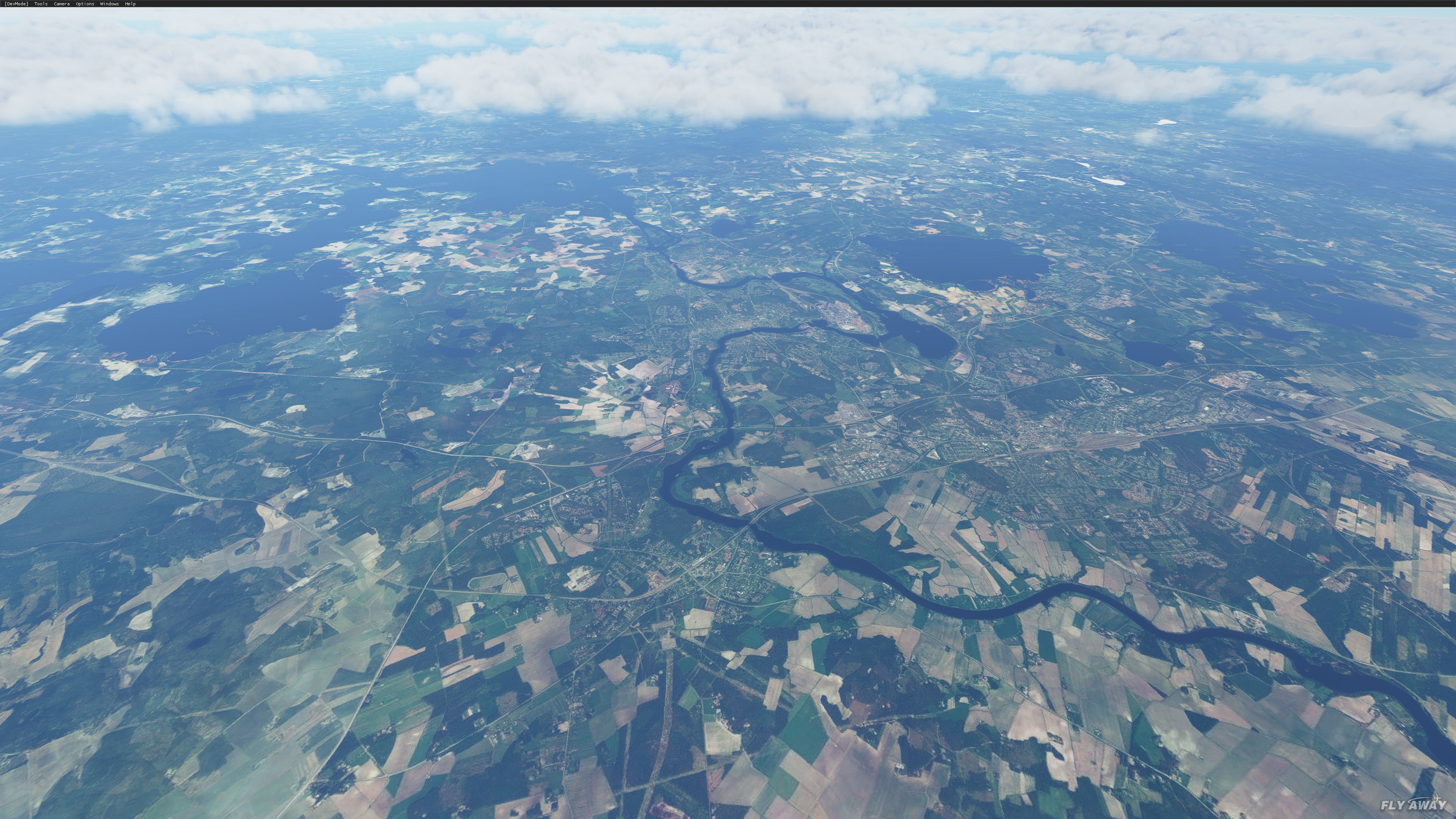
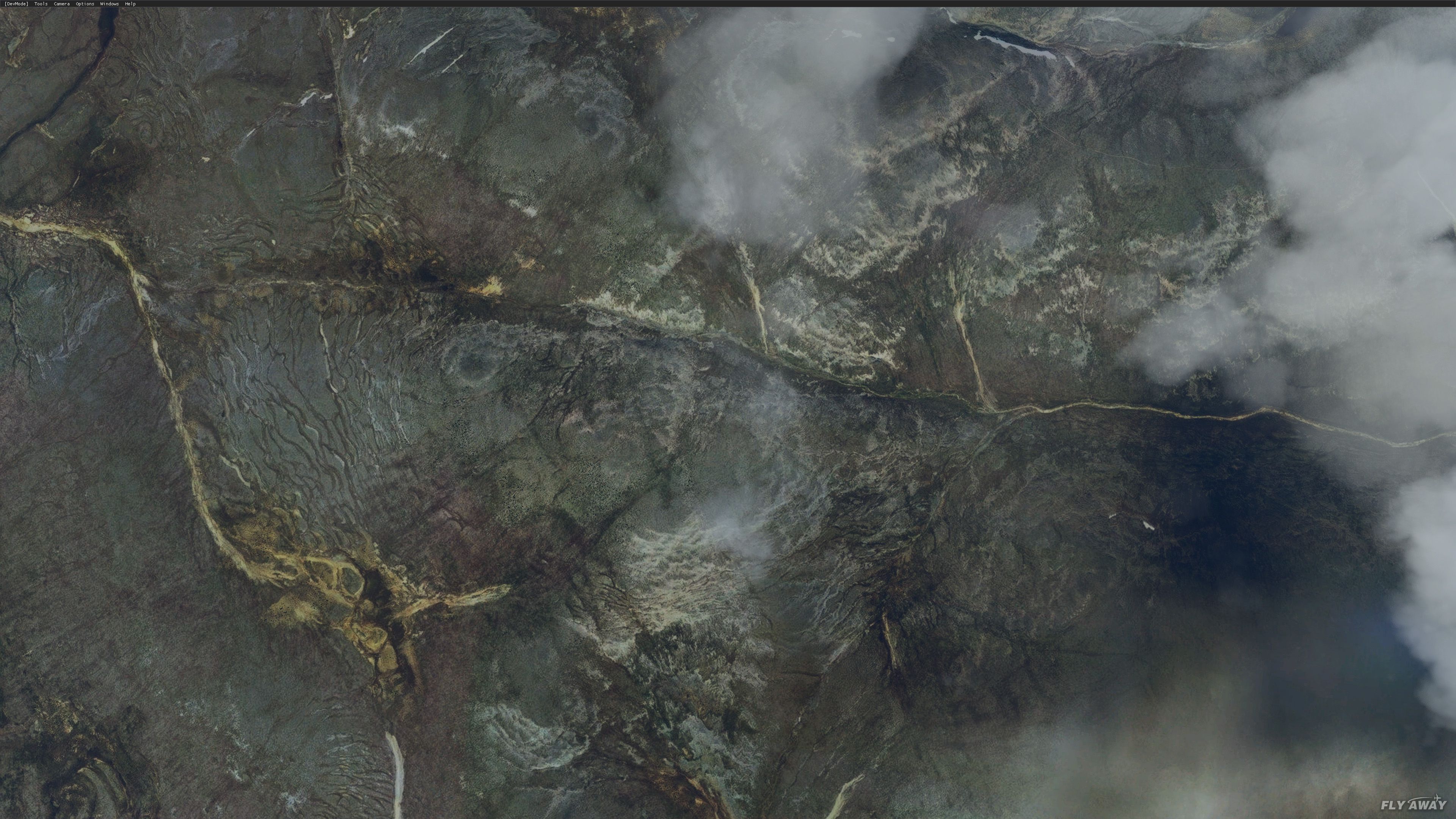
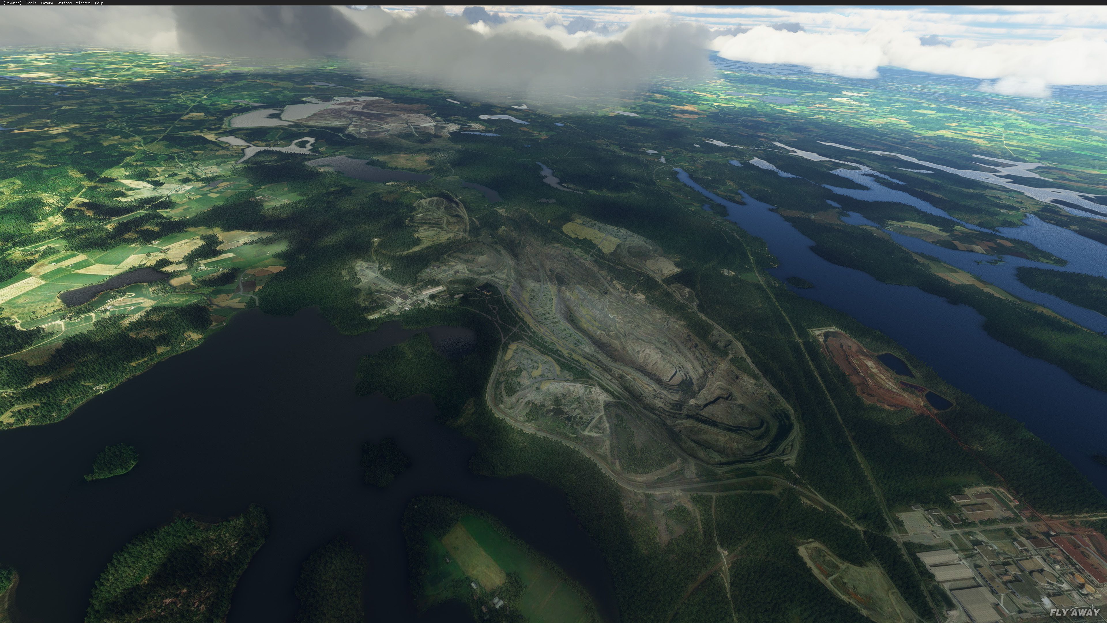
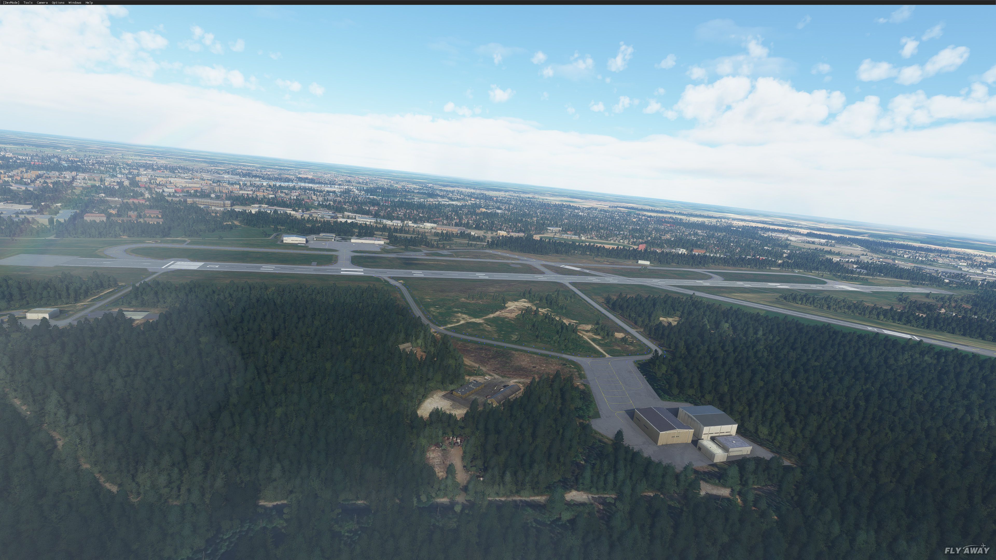
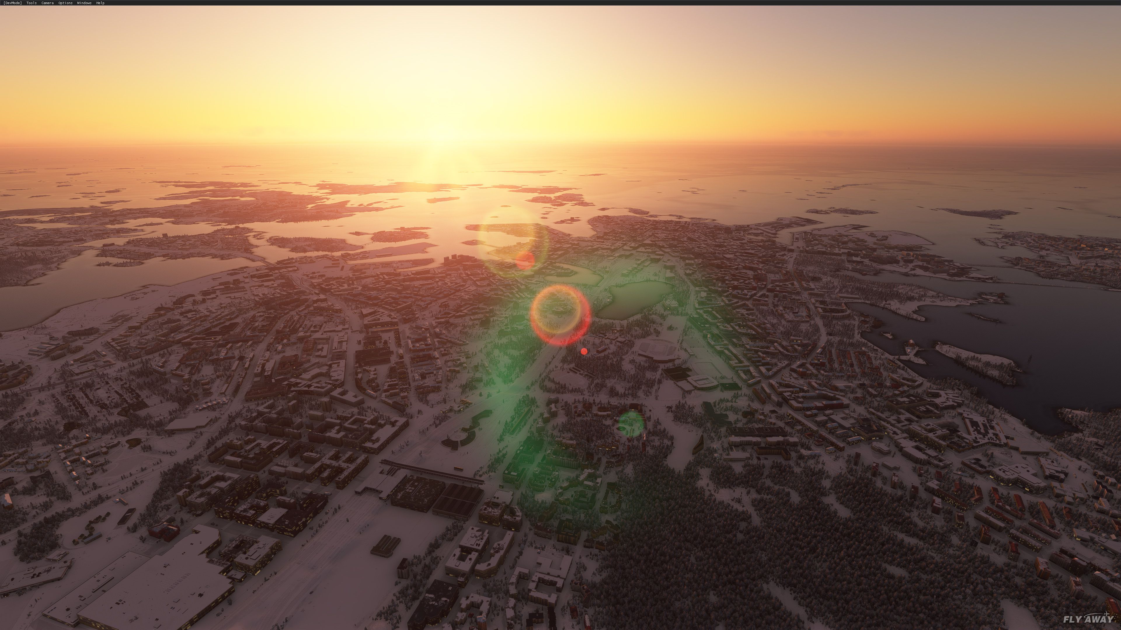
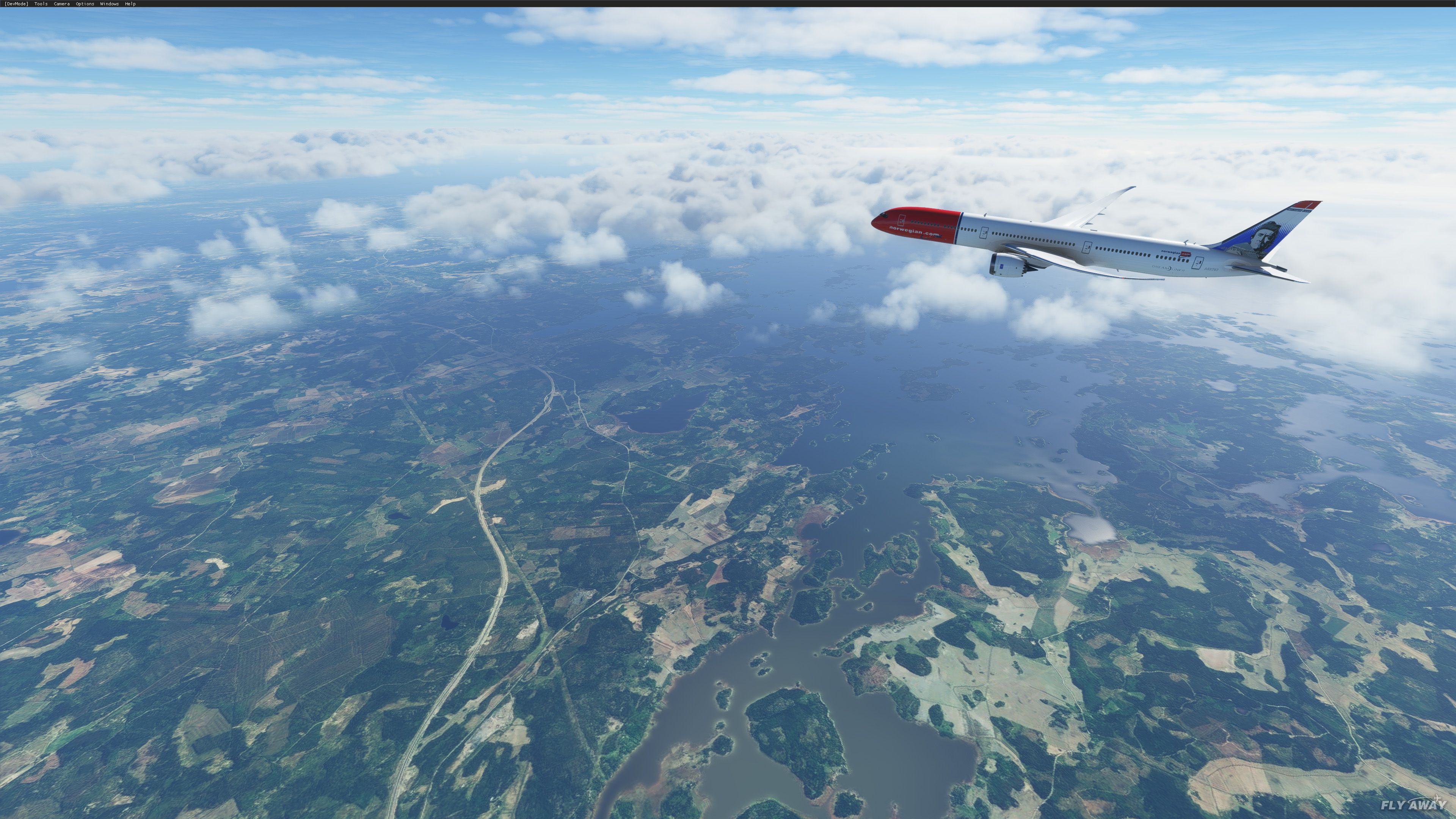
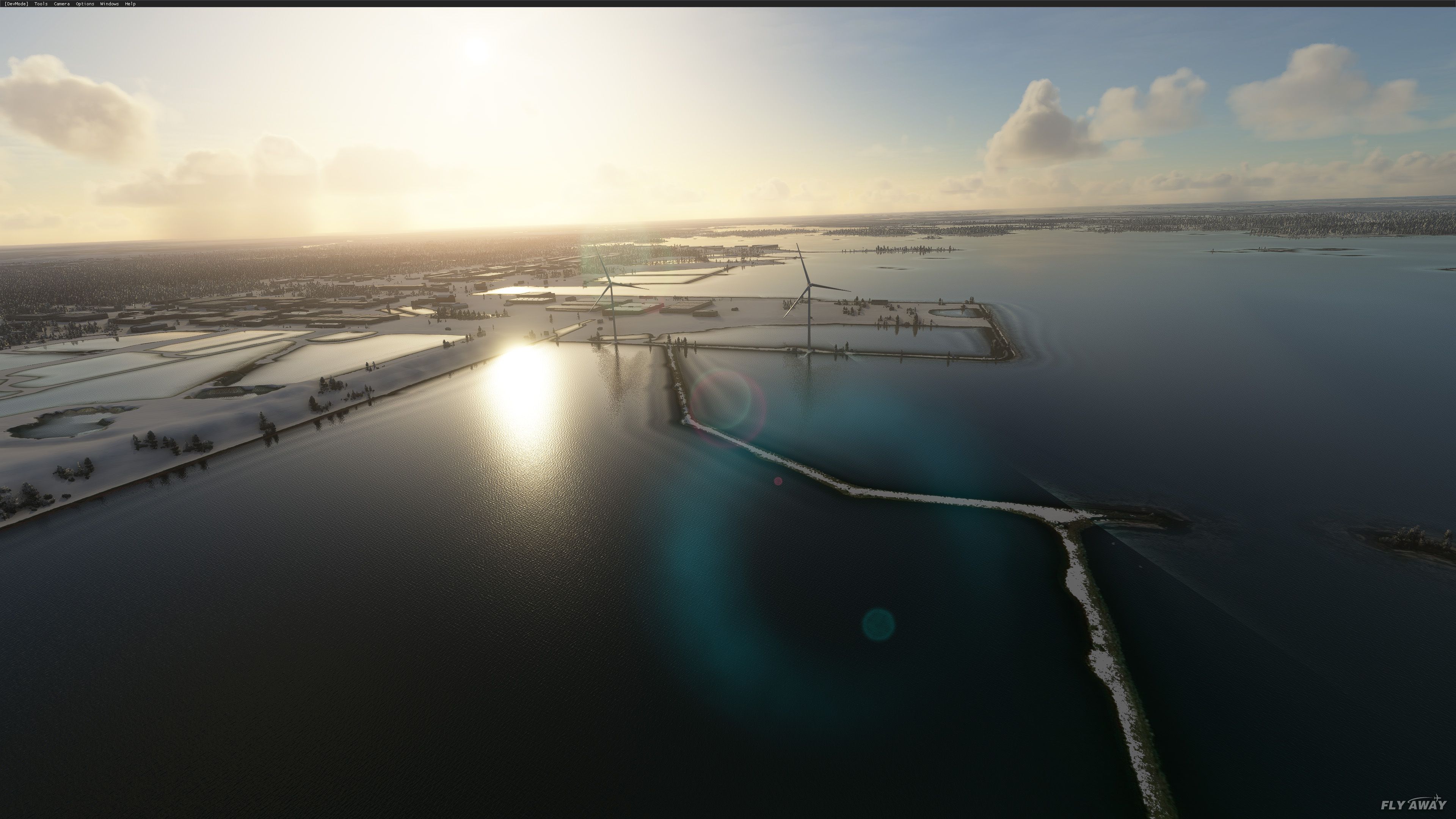
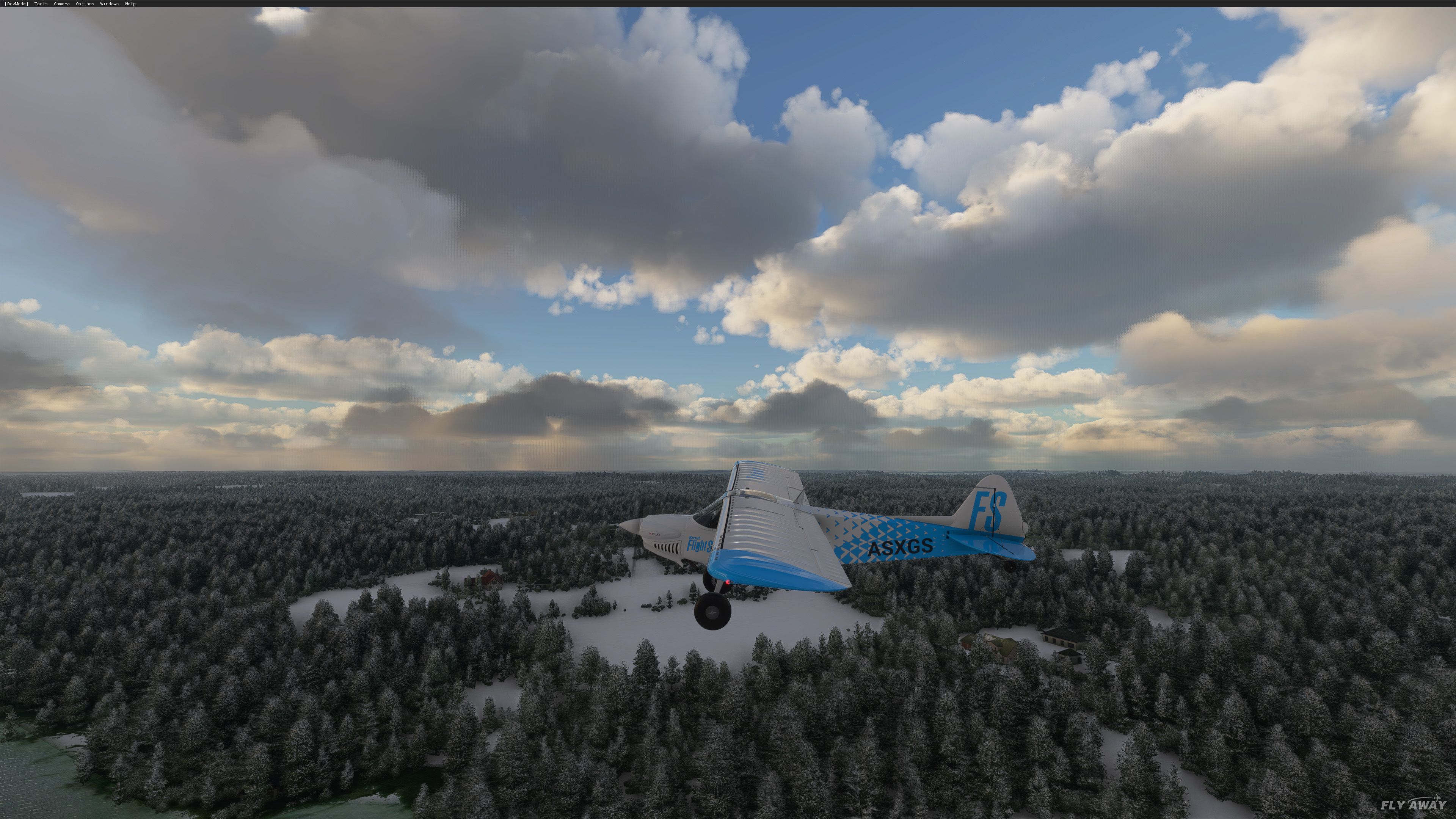
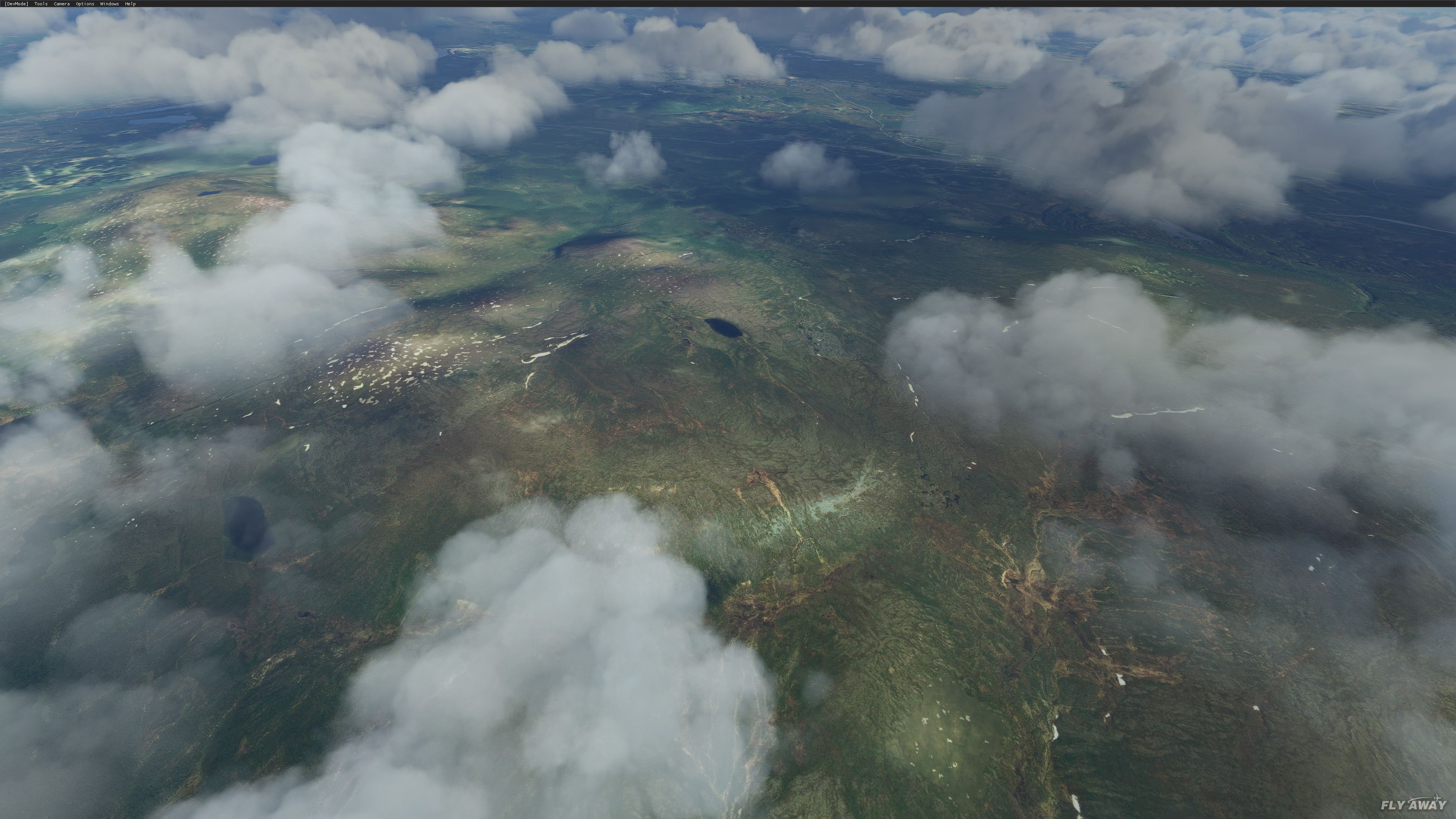
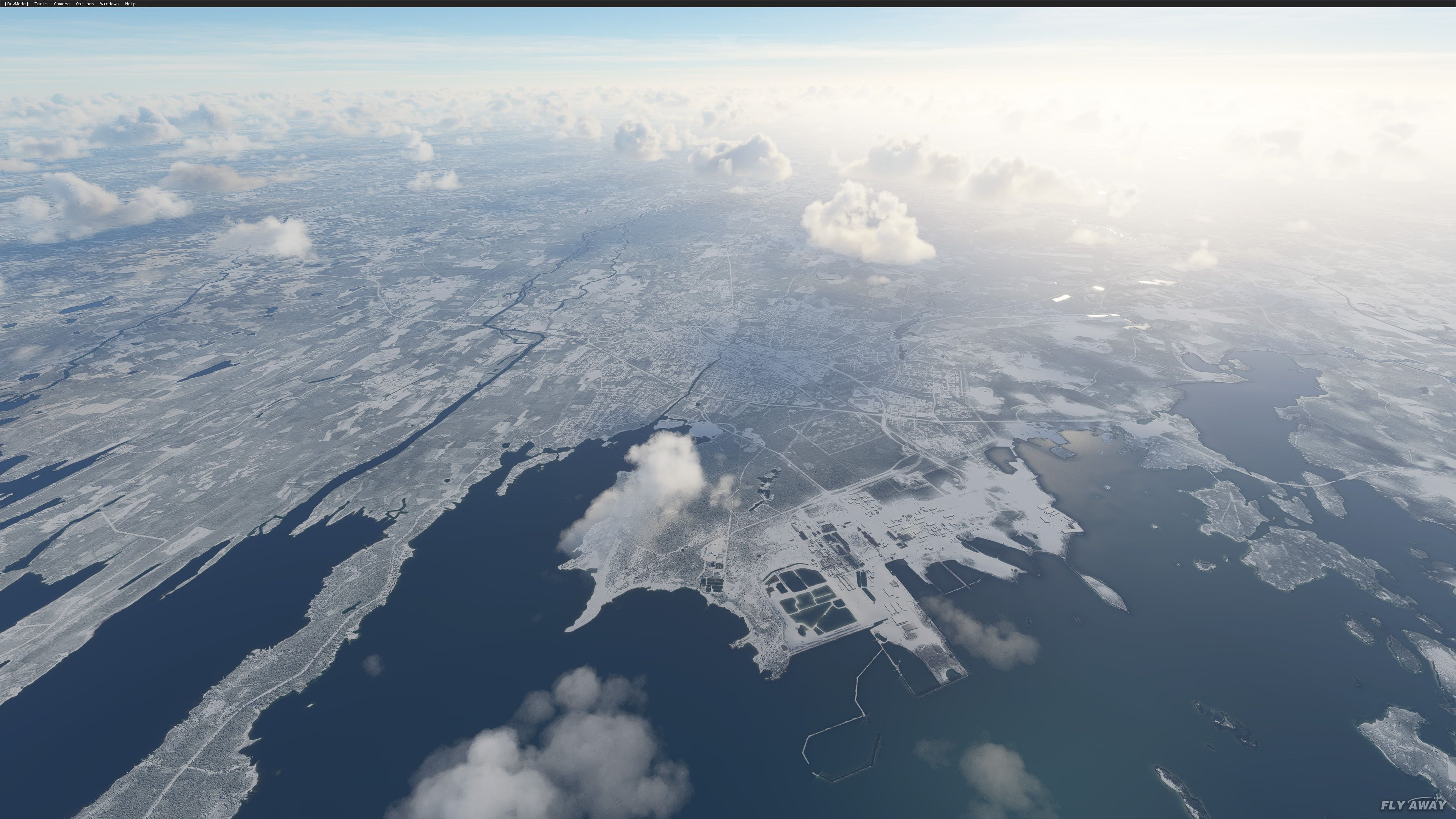
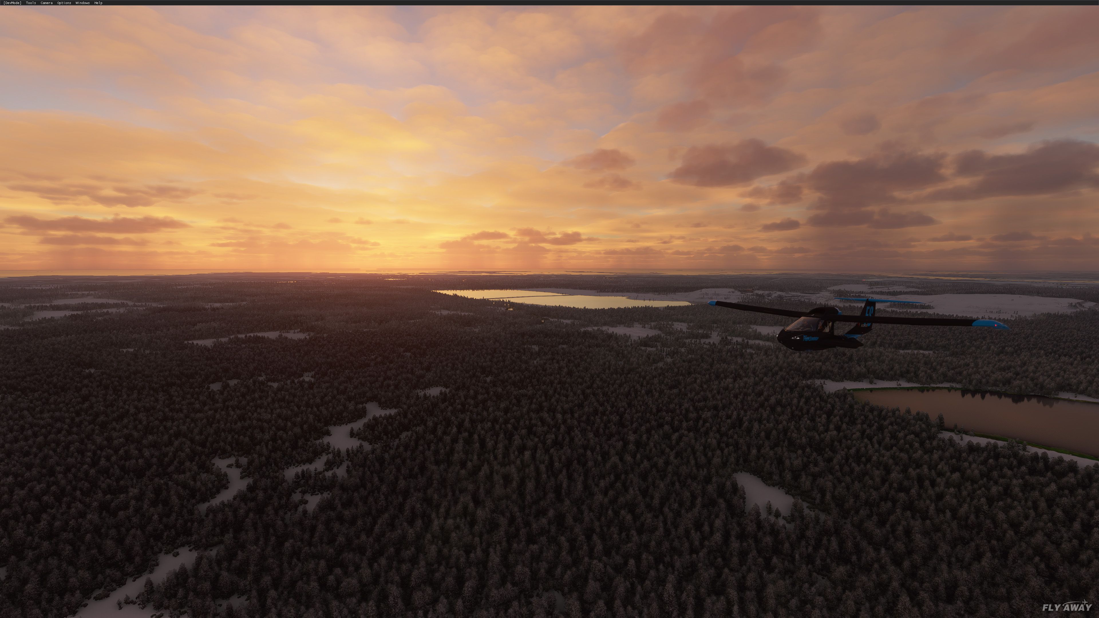
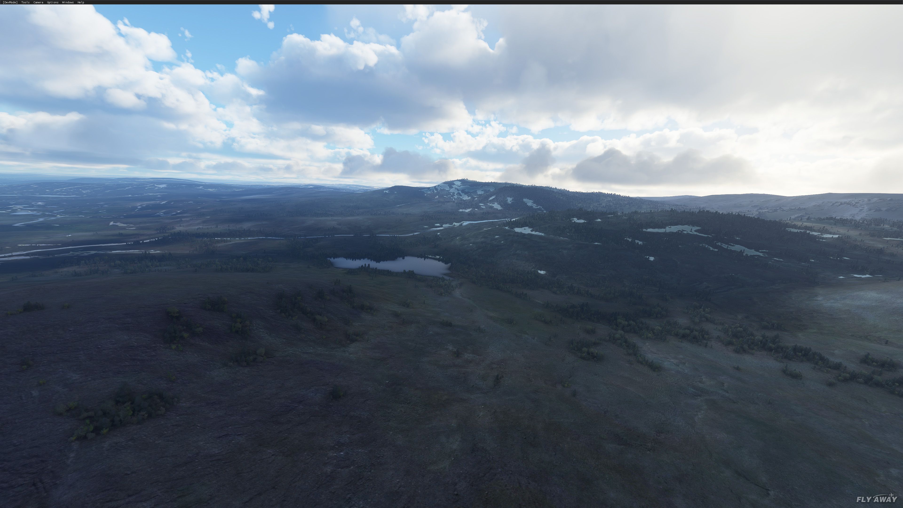
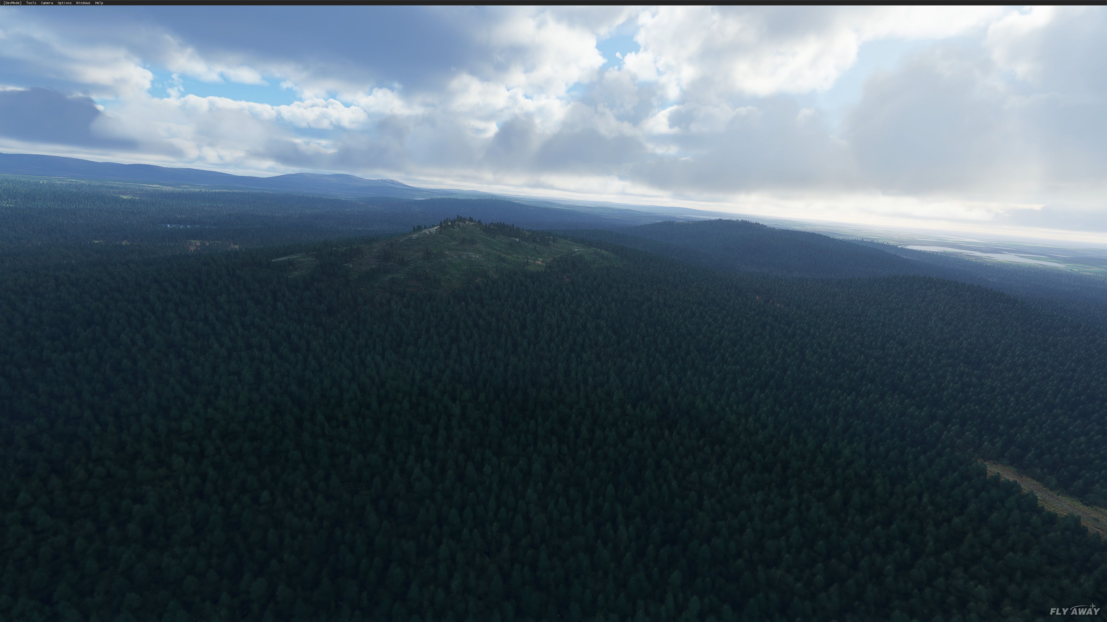
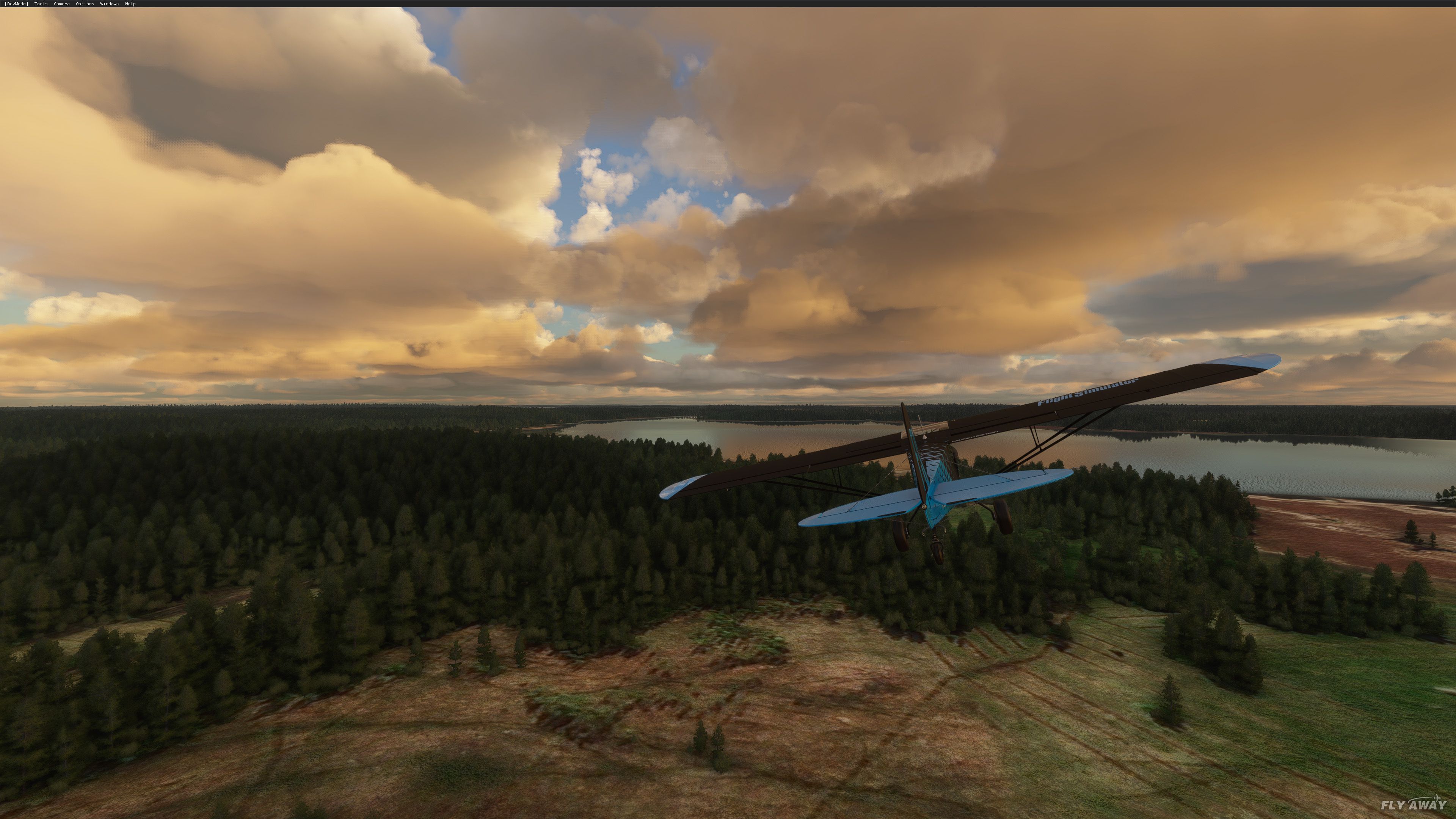
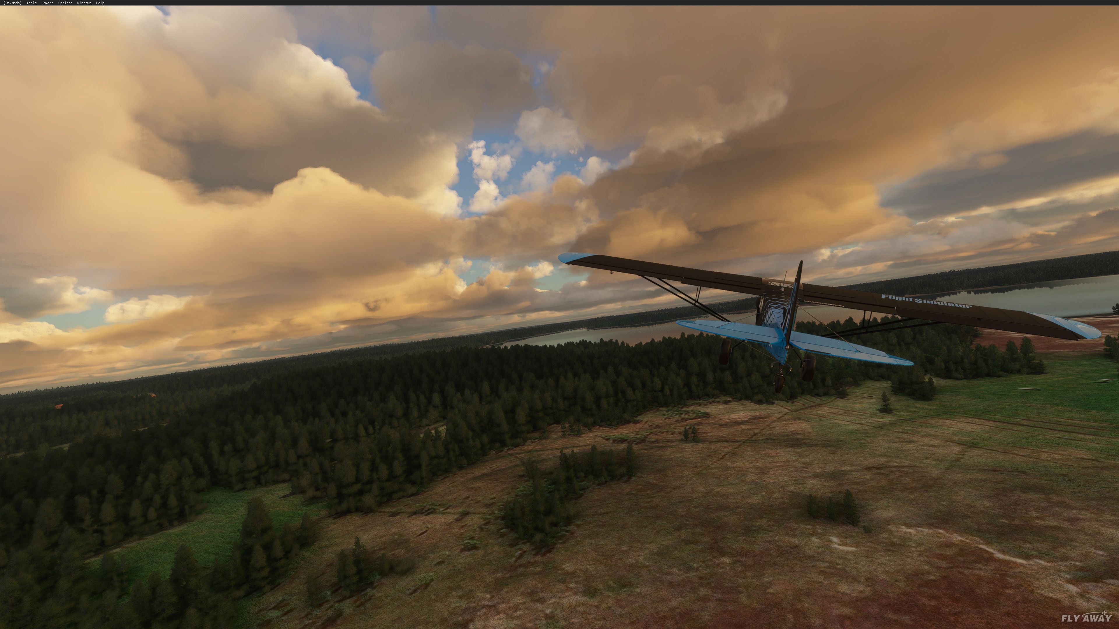
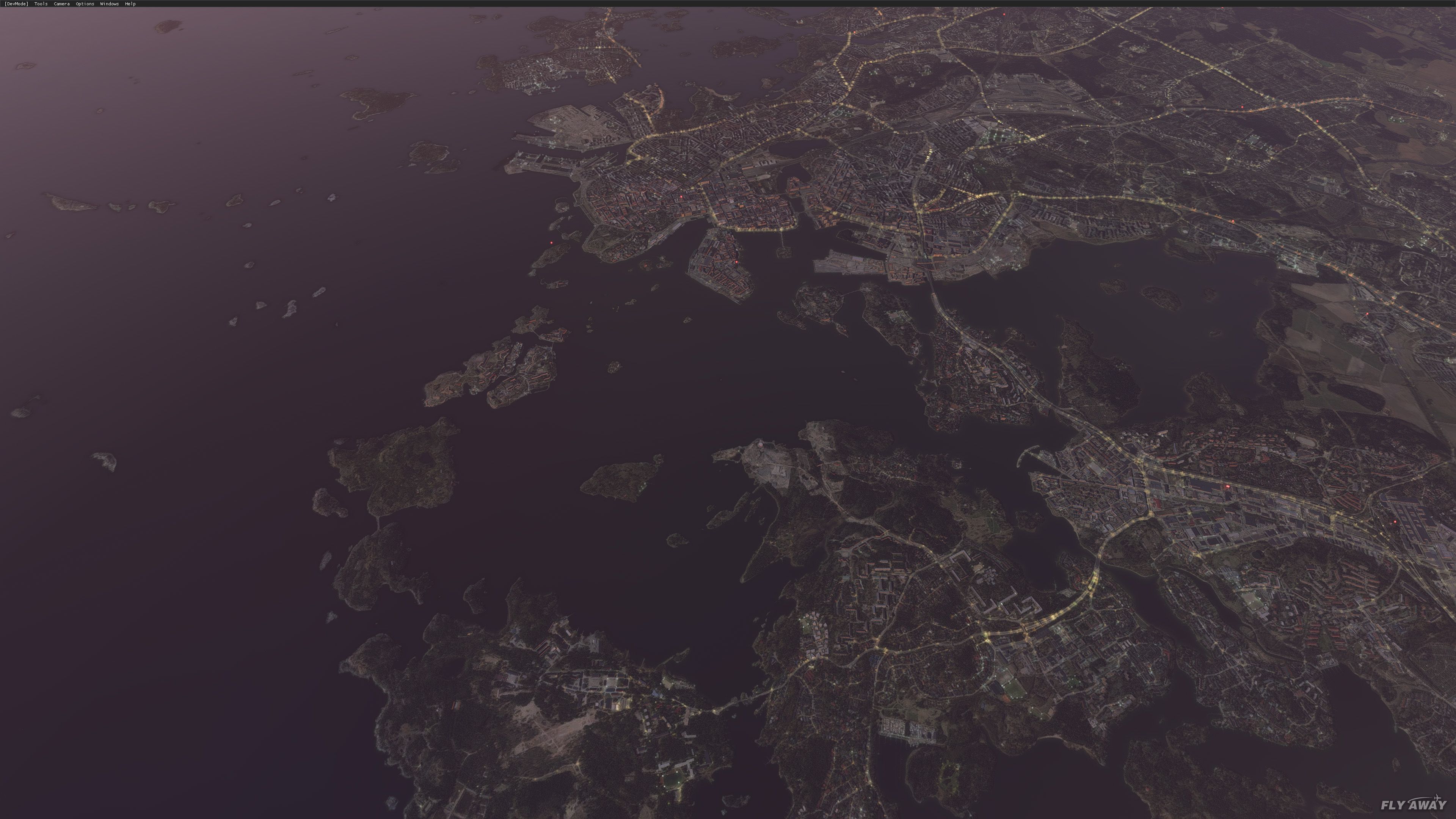
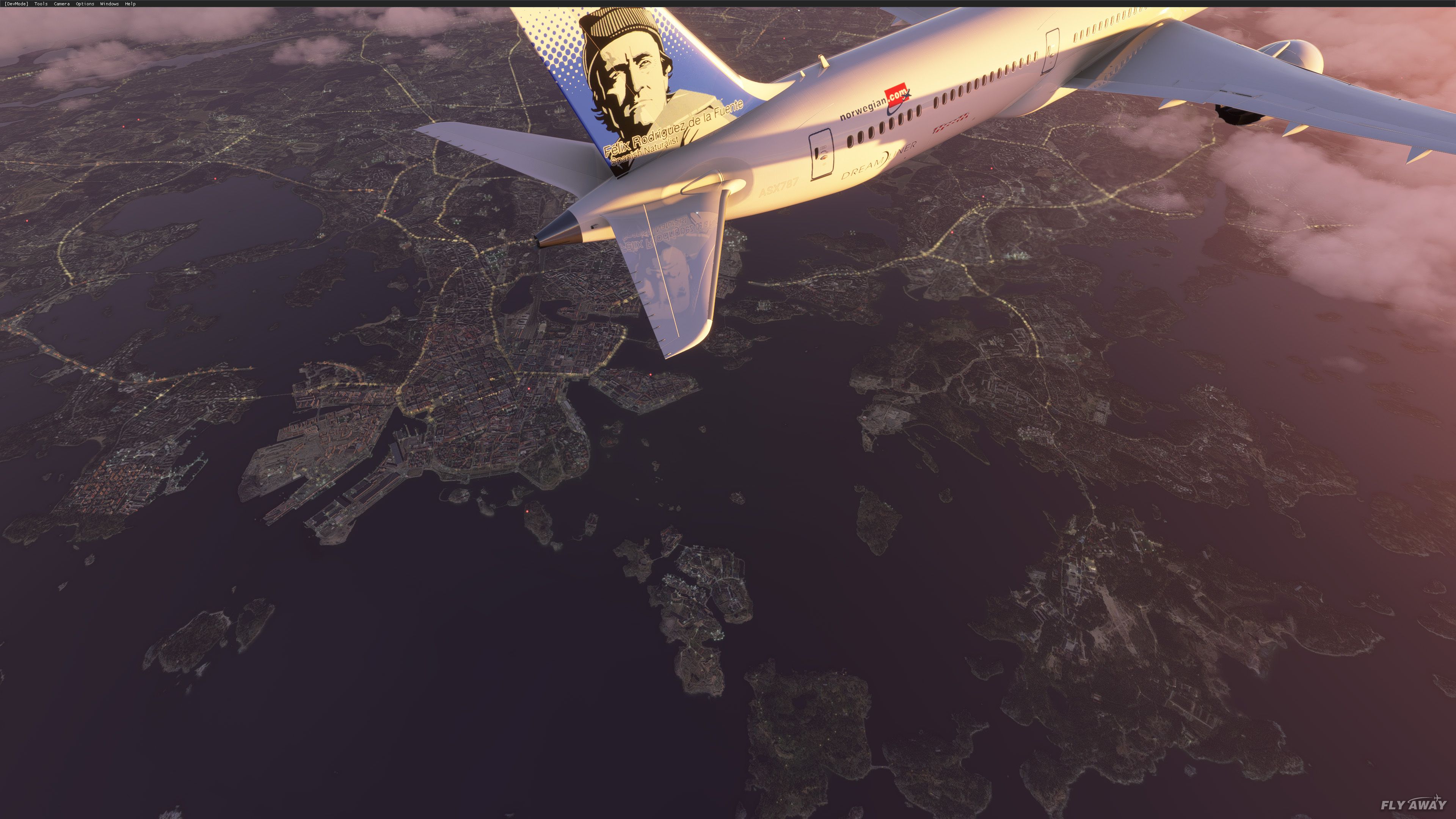
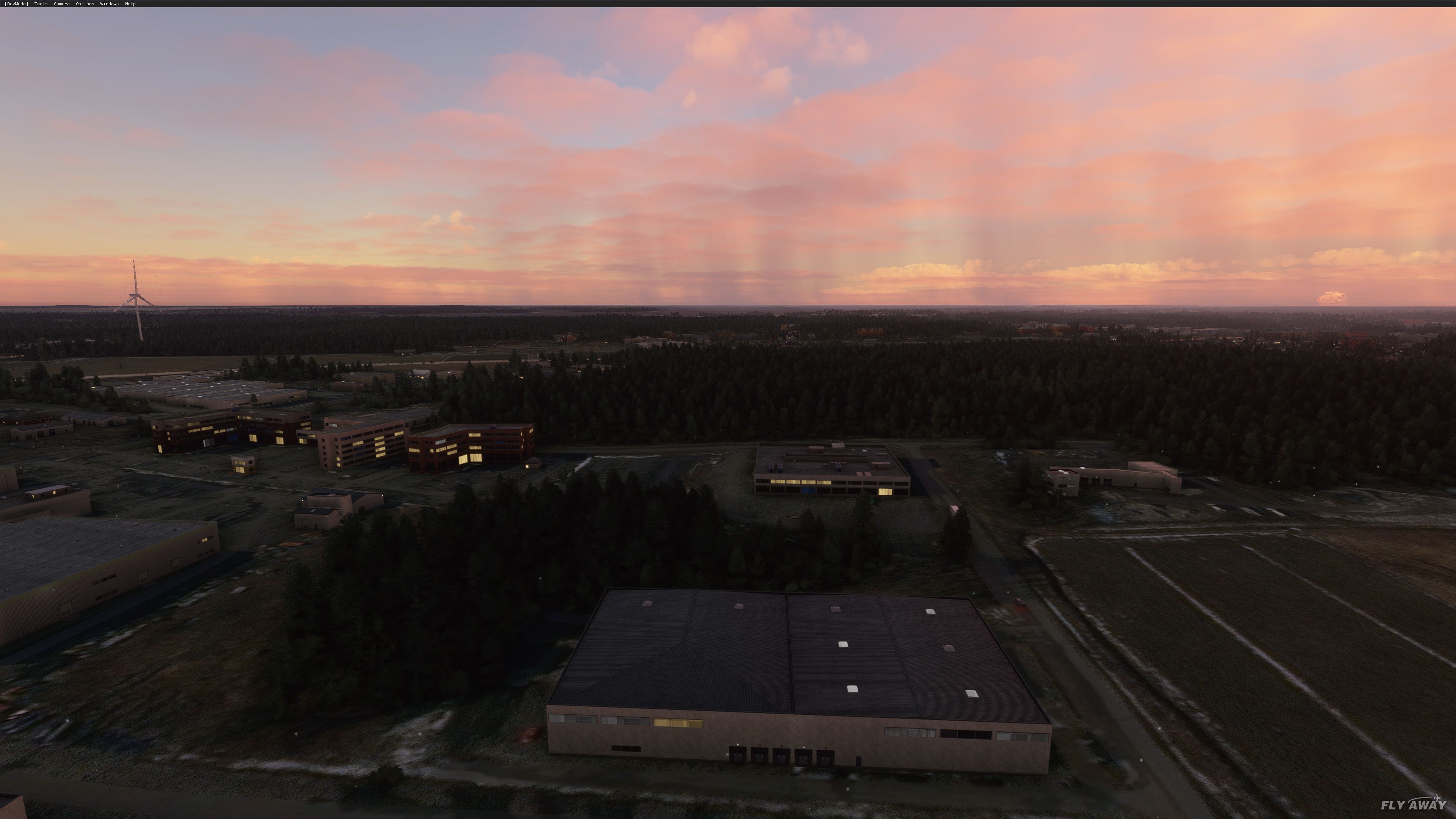
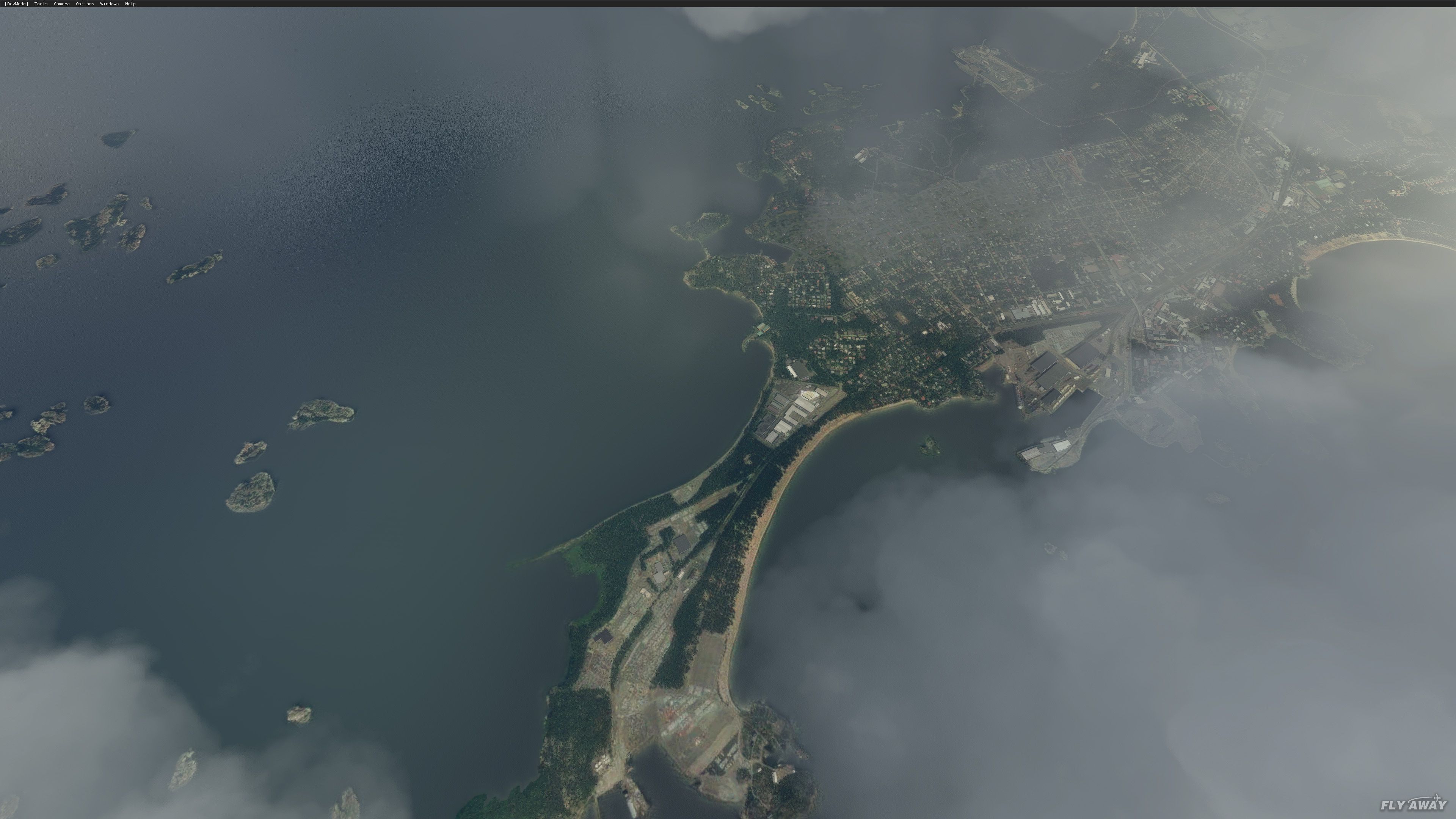
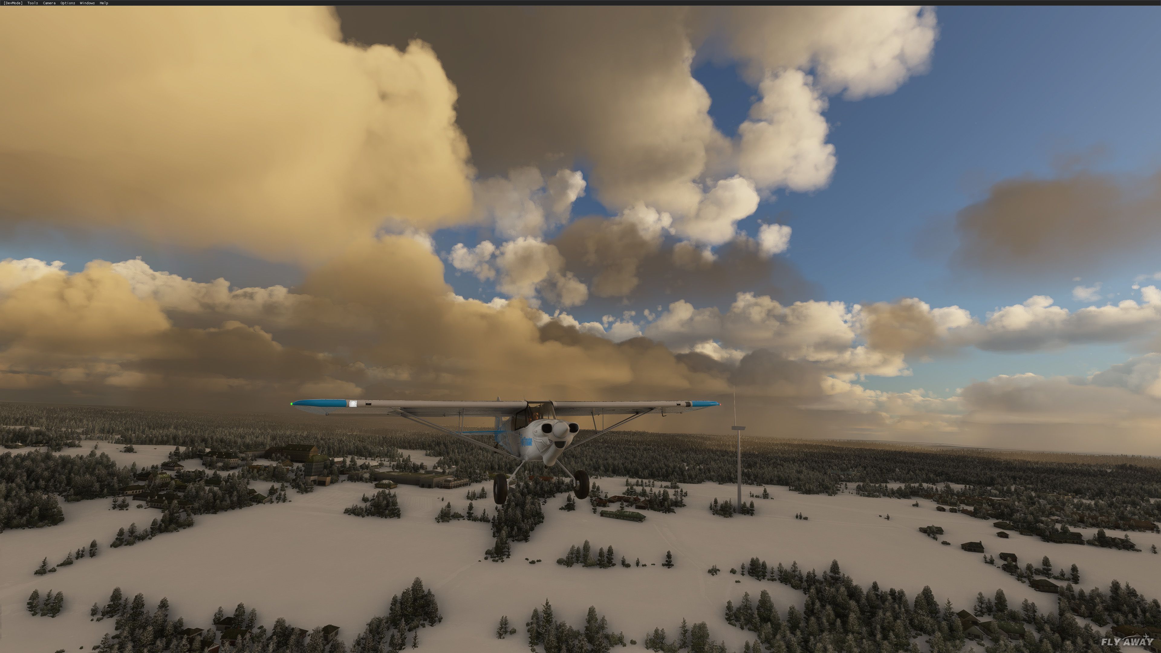
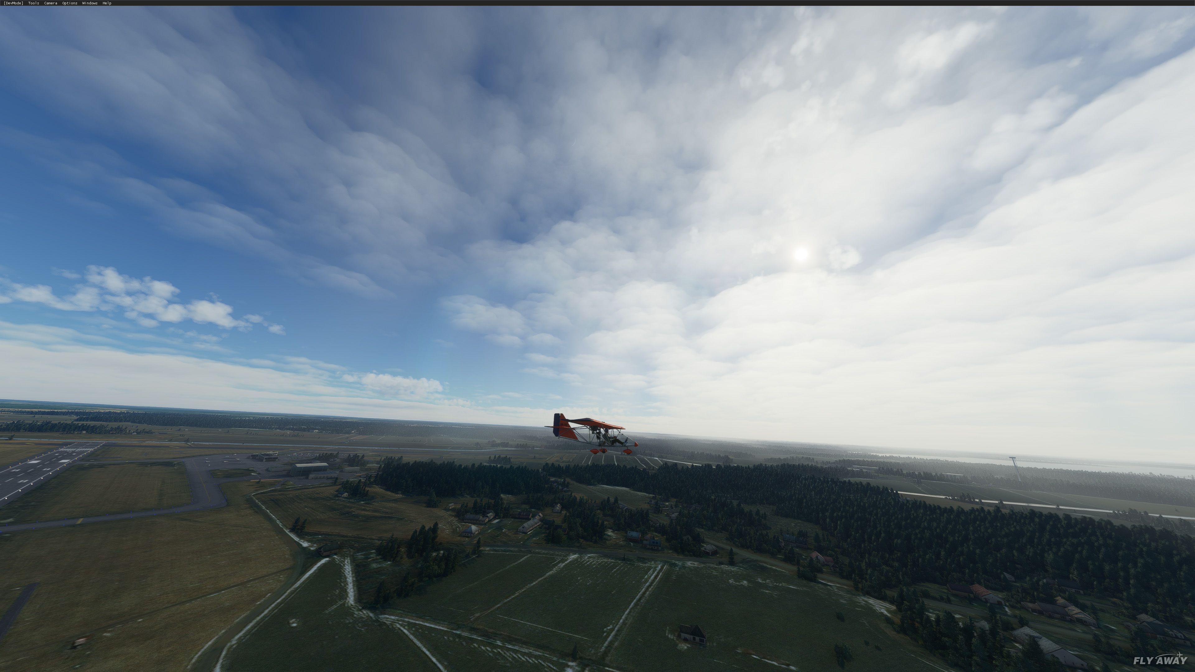
Finland’s terrain gains sharper relief with a 20‑meter digital elevation mesh that reshapes hills, ridges, valleys, and lake country across most of the nation, giving photoreal ground textures more convincing contours. Built from public survey and satellite sources, it updates the underlying landform data in Microsoft Flight Simulator.

This innovative enhancement supplies a 20-meter resolution digital elevation model for Finland, offering meticulously refined terrain contours that vividly capture the nation’s varied landscape. Drawing on resources like the National Land Survey of Finland and Copernicus data, this add-on reinvents your MSFS flights with more defined cliffs, peaks, and valleys that seamlessly merge beneath the simulator’s photoreal textures. Despite the occasional peak “spikes” and border transitions, the leap in fidelity is remarkable and delivers new depth for both recreational and professional sim pilots.
Created by developer Morko, the mod encompasses extensive coverage across Finland, showcasing a detailed representation of the region’s distinctive topography. The data, licensed under CC BY-NC-SA 4.0, ensures it remains both accessible and responsibly sourced, while its detailed coverage map outlines exactly how much of Finland benefits from this elevation overhaul. After extensive testing in the industry, I can confidently say it substantially elevates immersion for those who love exploring Finland’s stunning scenery in Microsoft Flight Simulator.
A brand-new, replacement terrain mesh (DEM) scenery covering most of Finland in Northern Europe created by developer Morko.
 Terrain mesh - or DEM (Digital Elevation Model) - data, as it's become more well known in the new community with the release of MSFS, is essentially the ups-and-downs of the terrain below you. It's the definition of mountains, cliffs, hills, and valleys. Essentially a higher resolution mesh will provide more definition to the ground below that the photorealistic scenery "wraps" around.
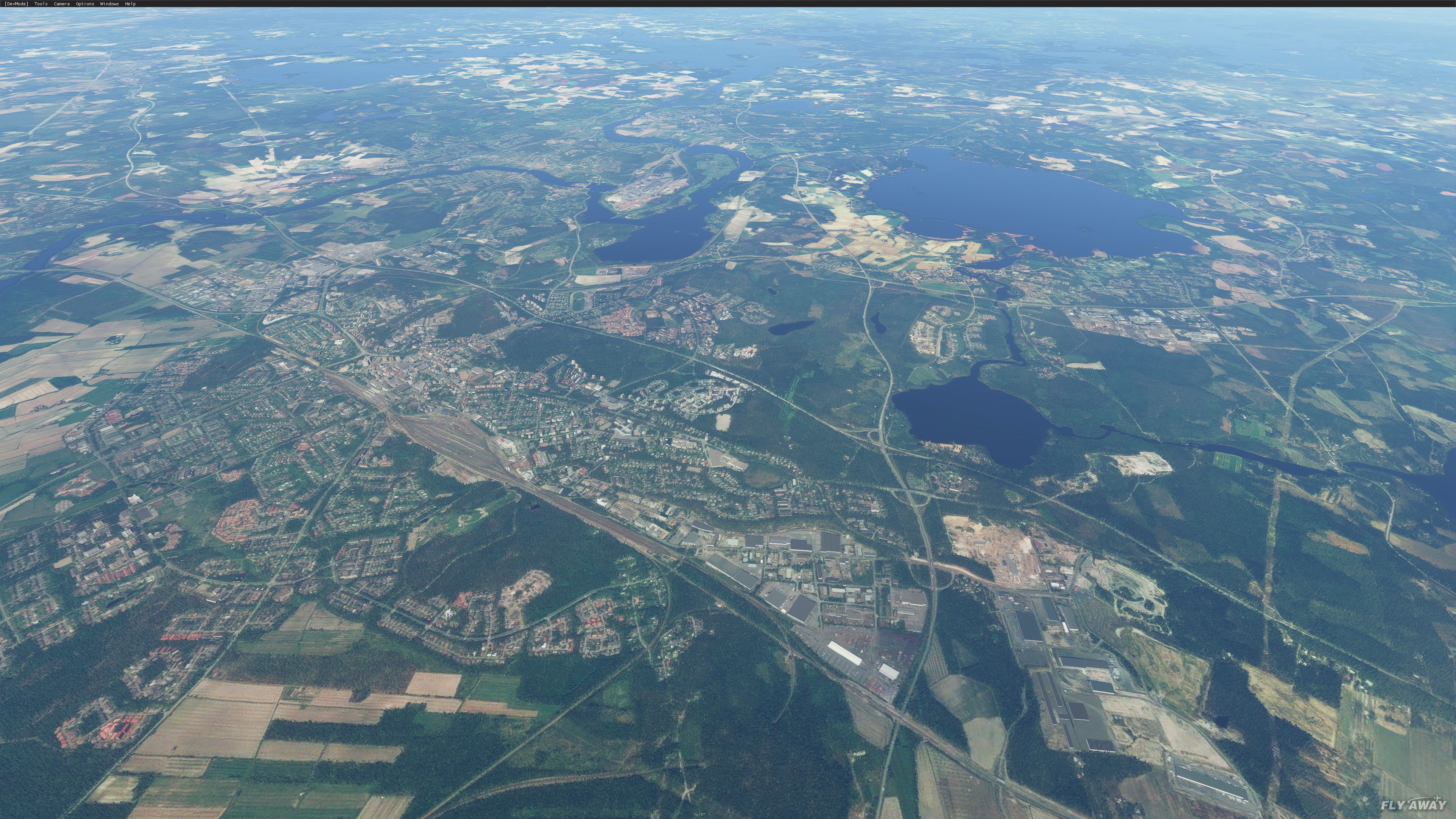
This pack brings 20-meter depth resolution terrain for most of Finland as can be seen in the coverage map below.
Coverage Map
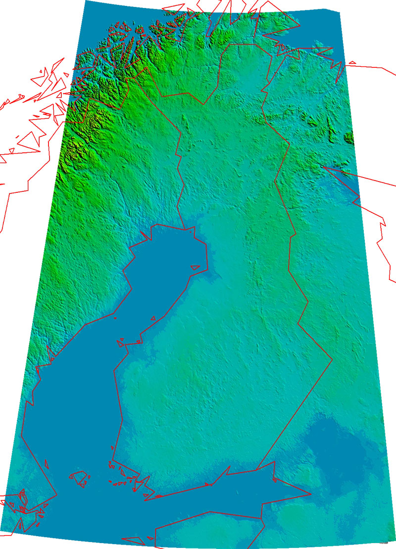
The terrain leveling data has been sourced from various free-to-use sources including the National Land Survey of Finland, Copernicus data, and information funded by the European Union - EU-DEM layers, Earth Observation Research Center (Japan Aerospace Exploration Agency).
Installation
Copy the folder finland-20m-dem that resides inside the root folder of the extracted archive into your MSFS community folder.
The developer has also provided information and documentation on how to create your own DEM packs for MSFS. More information is available over at the GitHub page here.
Known issues
Credits for the source of terrain mesh data included in the scenery package
License
The developer has released this pack under CC BY-NC-SA 4.0.
Developer: Morko.
Free for all simmers · 2.01 GB · Scanned clean Jul 2026
Download speed: Free tier is capped at 2 Mbps (this file takes approximately 2h 24m at the cap). PRO members download at full line speed.
%LOCALAPPDATA%\Packages\Microsoft.FlightSimulator_8wekyb3d8bbwe\LocalCache\Packages\Community\. Steam version: %APPDATA%\Microsoft Flight Simulator\Packages\Community\. Tip: enable Developer Mode in MSFS to see your exact Community folder path.readme.txt or README file. It tells you exactly where files go, what dependencies are needed, and any quirks specific to this add-on.Only PRO members can place votes.
More MSFS add-ons hand-picked based on this download.
MSFS Scenery
This pack by the developer who simply goes by the name of Chris brings the me…
 MSFS Scenery
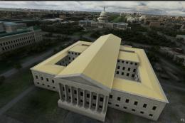
A large freeware scenery add-on pack put together by the developer who goes b…
 MSFS Scenery
A quick rework of several Swiss cities and landmarks such as the Matterhorn u…
 MSFS Scenery
Enhance your Microsoft Flight Simulator experience with the Downtown Los Ange…
 MSFS Scenery
A massive freeware pack created by the developer Srinivasman containing over …
 MSFS Scenery
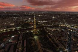
A new, easy-to-install, and accurate replacement of the default Paris photore…
 MSFS Scenery
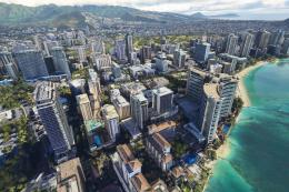
This is a complete replacement scenery pack covering the entire city of Honol…
 MSFS Scenery
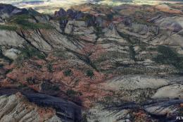
A complete overhaul of Zion Canyon National Park in Utah, the USA for Microso…
Be the first to leave a comment on this download.
Be the first to share your thoughts on this download.