
MSFS Avignon Pujaut Airport (LFNT) Scenery
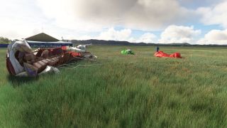
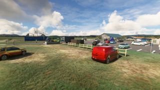
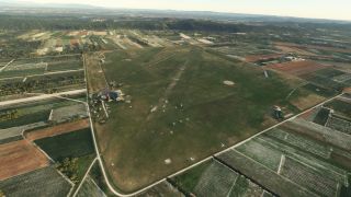
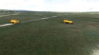
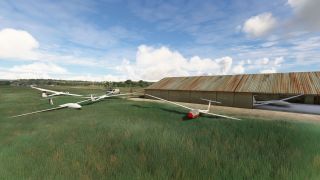
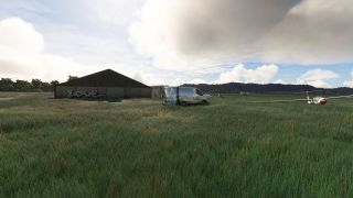
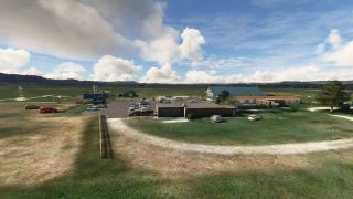
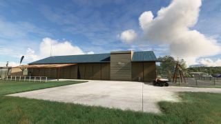
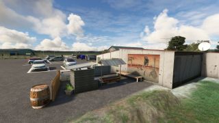
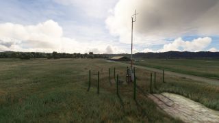
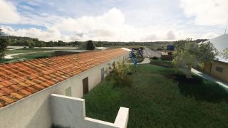
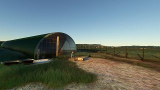
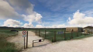
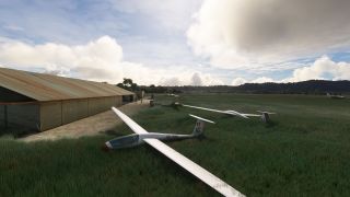
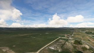
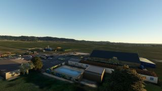
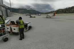
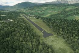
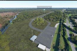
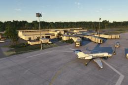
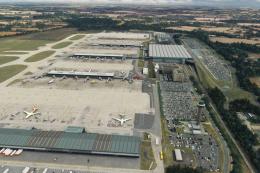
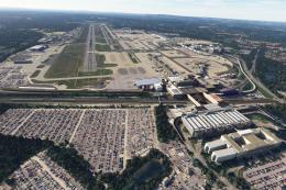
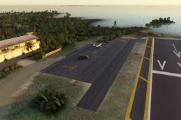
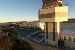
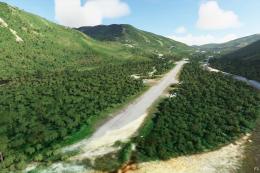
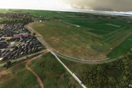
Avignon Pujaut Airport (LFNT) scenery recreates the historic grass-field aerodrome northwest of Avignon with three accurately modeled runways, PBR texturing, lively ambient details, and animated elements that bring the platform to life. Built for Microsoft Flight Simulator 2020, it reflects real-world daytime VFR operations and local activity zones.
- File: LFNT-msfs.zip
- Size:427.12 MB
- Scan:
Clean (18d)
- Access:Freeware
- Content:Everyone

Expert Overview
Avignon Pujaut Airport (LFNT) Scenery transforms a modest Southern France airfield into a richly detailed environment within MSFS 2020. From the trio of authentic grass runways (17R/35L, 17L/35R, and 12/30) to realistic PBR textures and animated touches, this add-on perfectly captures the aerodrome’s historic essence. Daylight-only operations pay homage to its real-world constraints, preserving the traditional feel of visual flight rules across Provence’s skies.
Having put this mod to the test, I found it immersive in both visuals and performance. The attention to detail—complete with historical references to early French parachuting—truly enhances each takeoff and landing. Whether exploring the surroundings or appreciating the creative elements such as animated aircraft models and local wildlife, virtual pilots can enjoy a uniquely atmospheric departure from the standard MSFS offerings in this storied region of France.
This mod was installed, tested and reviewed by Adam McEnroe for Fly Away Simulation. Adam is an FS mod expert. Read his bio here.
Explore the rich history and scenic beauty of Southern France with the Avignon Pujaut Airport (LFNT) Scenery. This meticulously crafted add-on brings the charming LFNT aerodrome to life in Microsoft Flight Simulator 2020, offering both an accurate and immersive flying experience.
 Key Features
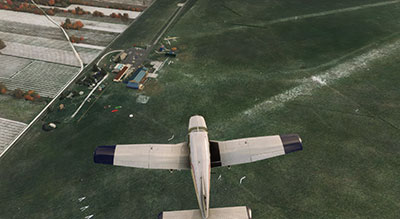
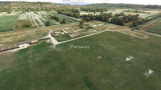
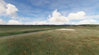
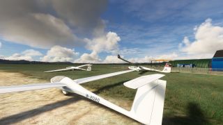
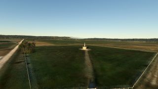
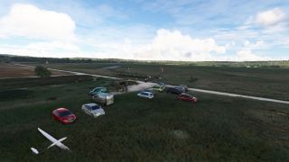
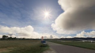
- Highly Detailed Runways: The scenery includes all three grass runways (17R/35L, 17L/35R, and 12/30), each authentically recreated to reflect their real-world specifications and limitations.
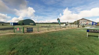
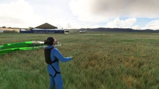
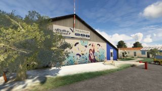
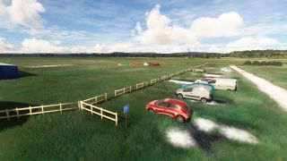
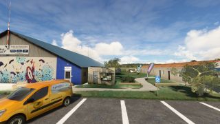
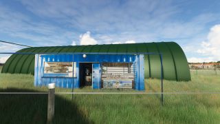
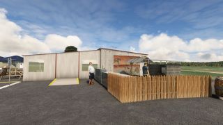
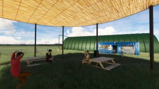
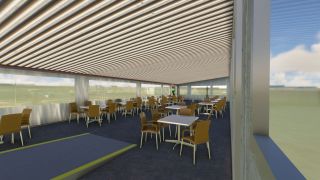
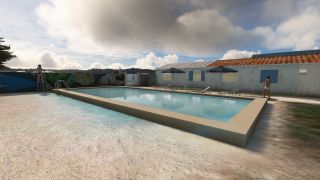
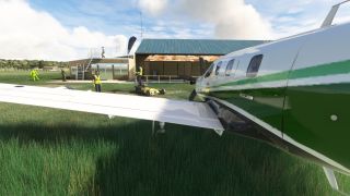
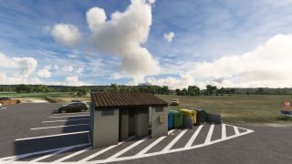
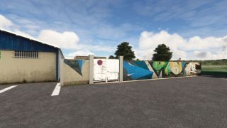
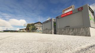
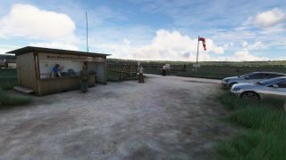
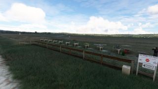
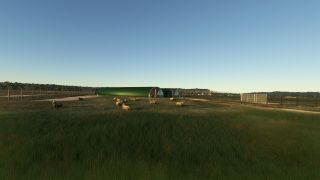
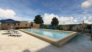
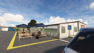
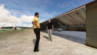
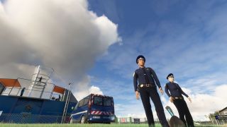
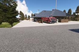
- Realistic Airport Environment: From animated characters and wildlife to detailed paneling and PBR (Physically Based Rendering) textures, every element enhances the realism of the aerodrome.
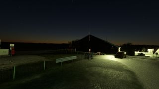
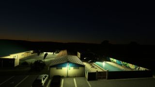
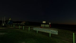
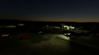
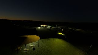
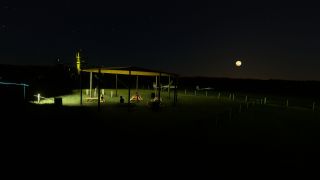
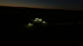
- Nocturnal Constraints: Accurately modeled to represent its real-life counterpart, the airfield lacks lighting, necessitating daylight operations for VFR (Visual Flight Rules) flights.
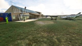
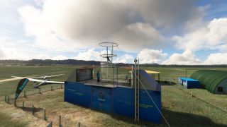
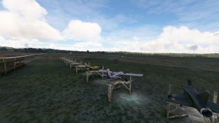
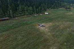
- Animated Elements: Discover animated air conditioners, missing textures on the flowerpot in a nod to version history, and lively static PC6 aircraft sourced from MilViz, adding depth and interactivity to your simulation.
About LFNT - Avignon Pujaut Aerodrome
LFNT, nestled in the commune of Pujaut just 6 km northwest of Avignon, is a restricted-use aerodrome primarily engaged in light aviation and leisure activities such as parachuting and model aircraft flying. Established in 1919 and serving as an emergency airfield by 1929, LFNT was later entrusted to the French Air Force in 1935 and became the cradle of French military parachuting. This historical backdrop provides a unique atmosphere that enriches the simulation experience.
Technical Specifications and User Information
- Communication and Navigation: Operates on a self-information frequency of 123.350 MHz within FSS areas. Compliance with the Provence Approach is mandatory within certain airspace layers.
- Daylight Operations Only: Reflecting its real-world limitations, the airfield operates from sunrise to sunset.
- Activity Zones: A designated area for glider winching extends from the ground to 2,300 feet. This feature is complemented by model aircraft operations to the west of the platform, providing diverse flying activities.
Community Contributions
Acknowledgments to Filipo and Antoine Comolas for their contributions from the older LFNT P3D version which helped shape this scenery. Additionally, thanks to Mouss d'Occitania for the French vehicles, along with ColinJ, Totof, EOL, and Superspud for their extensive libraries that enrich the scene.
Installation and Usage
This freeware scenery can be easily installed into your MSFS 2020 directory. After installation, the airfield will be ready to explore, promising a blend of historic charm and scenic flights in the heart of France’s Occitanie region.
Simply extract the archive and copy the laserjet-pujaut-lfnt folder into your MSFS Community folder.
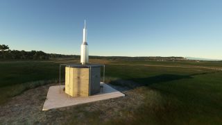
Images & Screenshots

Finding the Scenery
- MSFS Format:
-
43.99689870,4.75555990
You can copy and paste these coordinates into Microsoft Flight Simulator's search bar when starting a flight or the Developer Mode "Teleport" window to navigate directly to the center of this scenery area, airport, or landmark after you have installed this addon. - Decimal Degrees (DD):
-
Latitude: 43.996899°
Longitude: 4.755560° - Degrees, Minutes, Seconds (DMS):
-
Latitude: 43° 59' 48.835" N
Longitude: 4° 45' 20.016" E
Map Location
About the Developer: Pascal Ricq (laserjet34)
This mod was developed by Pascal Ricq (laserjet34).
Pascal Ricq, known in the MSFS community as laserjet34. At 65 years young, Pascal blends his passion for music and technology into his late-found hobby of modding for Microsoft Flight Simulator 2020. After picking up Blender and the MSFS SDK (Software Development Kit) two years ago, Pascal has focused on crafting detailed airport scenery and regional scenery packs, with a particular emphasis on French locales.
His contributions, available for free on Fly Away Simulation, bring enhanced realism to familiar surroundings. For those who enjoy his work, Pascal accepts donations via PayPal, aiding his continual investment in new Blender add-ons.
Donate
The developer of this mod/add-on (Pascal Ricq (laserjet34)) has worked hard in order to produce this freeware creation. If you enjoy and make use of this release, why not donate to the developer to help support their projects?
Installation Instructions
Most of the freeware add-on aircraft and scenery packages in our file library come with easy installation instructions which you can read above in the file description. For further installation help, please see our Flight School for our full range of tutorials or view the README file contained within the download. If in doubt, you may also ask a question or view existing answers in our dedicated Q&A forum.


 France

0 comments
Leave a Response