
MSFS Tours City Photogrammetry Scenery
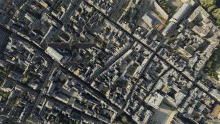
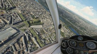
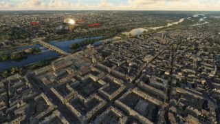
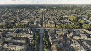
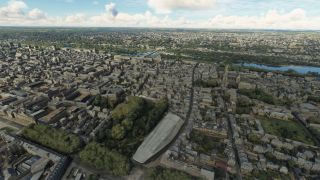
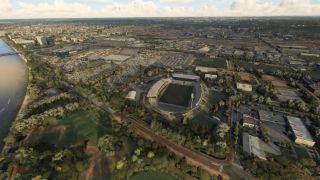
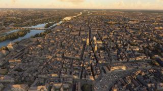
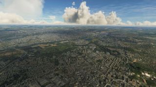
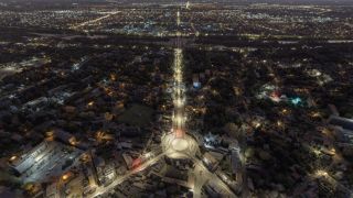
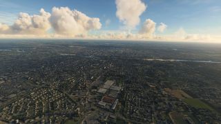
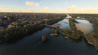
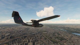
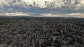
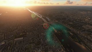
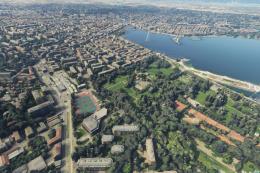
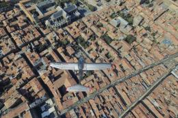
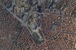
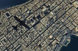
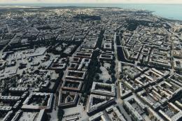
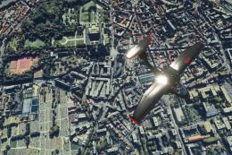
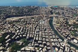
Tours, France receives expanded photogrammetry coverage with refined color matching, added points of interest, and smoother Level of Detail tuning for stable performance in Microsoft Flight Simulator. Updated collision meshes and lighting tweaks improve dusk and dawn visuals, while smarter exclusions prevent conflicts with autogenerated buildings for a clean, immersive Loire Valley cityscape.
- File: tours-msfs-photo.zip
- Size:2.56 GB
- Scan:
Clean (24d)
- Access:Freeware
- Content:Everyone

Expert Overview
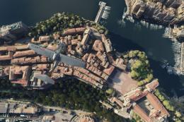
The MSFS Tours City Photogrammetry Scenery elevates the historic French city of Tours by seamlessly blending photogrammetric modeling and high-fidelity textures within Microsoft Flight Simulator. Detailed buildings, landmarks, and points of interest pop into focus with accurate colorimetry, while refined LOD settings and collision meshes boost overall performance for a smoother, more immersive flight experience. Notably, Version 3.1 resolves conflicts with Blackshark AI buildings in the Saint-Pierre-des-Corps suburb, ensuring that every neighborhood confidently represents its real-world counterpart.
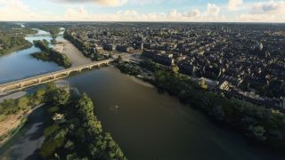
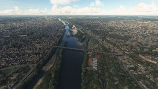
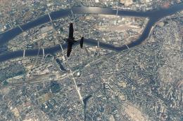
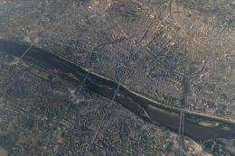
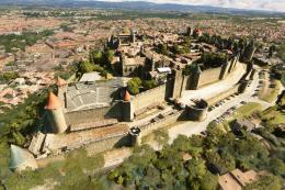
Capturing the charm of the Loire River and the “Garden of France,” the mod offers photoreal vistas of Roman-era architecture, châteaux, and UNESCO-recognized historic districts. Recommended departure points include the conveniently located Tours Val de Loire Airport, as well as Loire Valley Airfield for a more intimate general aviation journey. With its blend of realism and stable performance, this city photogrammetry scenery offers a deeply rewarding exploration of Tours’s iconic skyline and timeless heritage.
This mod was installed, tested and reviewed by Adam McEnroe for Fly Away Simulation. Adam is an FS mod expert. Read his bio here.
Enhance your virtual flight experience with the Tours City Photogrammetry Scenery, a meticulously crafted mod for the enthusiasts of Microsoft Flight Simulator. This scenery overlay brings the vibrant and historical city of Tours, France, into your simulator, with unmatched realism and detail through the advanced use of photogrammetry.
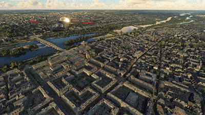 Introduction to Photogrammetry Scenery
Photogrammetry is a technique where photography is used to survey and map a location from multiple photographs. This process captures the fine details and textures of the scene, which are then reconstructed in three dimensions. In flight simulation, this translates into extremely realistic and immersive environments, as every building, tree, and landmark mirrors its real-world counterpart with precise accuracy.
Main Features
- Expanded photogrammetry coverage that encapsulates the city in remarkable detail, improving both visual fidelity and realism.
- Enhanced colorimetry ensures the scenery blends seamlessly with adjacent tiles, providing a consistent and engaging visual experience throughout different times of day and lighting conditions.
- Optimized Level of Detail (LOD) settings reduce framerate drops and improve performance, ensuring a smooth simulation even on moderate systems.
- Added points of interest (POIs) and city landmarks to enhance navigational experience and enjoyment.
- Specific collision meshes added to reduce CPU load, thereby ensuring better simulation stability and reduced risk of crashes to desktop (CTD).
Technical Enhancements
- Version 3.1 features a crucial fix for the exclusion of Blackshark AI-generated buildings in the suburb of Saint-Pierre-des-Corps, ensuring no conflicts with autogenerated content.
- Procedural lighting adjustments correct the visual discrepancies on flat surfaces, particularly noticeable during dusk and dawn, enhancing realism.
- Continuous improvements in texture management to mitigate flickering issues and improve the overall visual clarity of surfaces.
Exploring Tours, France in MSFS
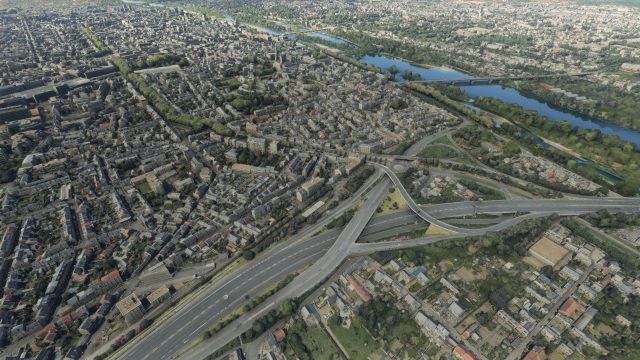
The city of Tours, positioned along the scenic Loire River, boasts a rich history from its Roman roots to its pivotal role throughout French history. The mod captures both the architectural splendor and the lush, verdant landscapes that have earned it the nickname "Garden of France." Virtual pilots will appreciate navigating above this historically rich landscape, experiencing its famed sites like the massive Roman amphitheater and the picturesque old town, Vieux-Tours, a UNESCO World Heritage site.
Recommended Airports for Departure and Arrival
- Tours Val de Loire Airport (LFOT): Conveniently located just northeast of the city, this airport offers the perfect gateway for starting or concluding your scenic flights over the Tours area.
- Loire Valley Airfield (LFEF): Ideal for general aviation enthusiasts, this smaller airfield is situated to the east of Tours, providing a quaint but well-equipped starting point for regional explorations.
Installation and Compatibility
This mod has been developed using the Google Earth Decoder tool, ensuring high fidelity and compatibility with existing MSFS architecture. Installation is straightforward, following the standard mod installation procedures for MSFS, ensuring that even novice simmers can easily enhance their flight simulation experience.
Simply extract the archive and copy the thalixte-tours folder into your MSFS community folder.
The MSFS Tours City Photogrammetry Scenery is not just a visual enhancement; it's a deep dive into the heart of France's storied past, rendered with an eye for detail and a commitment to performance. Whether you're soaring over the rooftops of Tours or navigating the complex river landscapes of the Loire Valley, this mod brings unparalleled depth to your virtual flights.

Finding the Scenery
- MSFS Format:
-
47.39424100,0.68473600
You can copy and paste these coordinates into Microsoft Flight Simulator's search bar when starting a flight or the Developer Mode "Teleport" window to navigate directly to the center of this scenery area, airport, or landmark after you have installed this addon. - Decimal Degrees (DD):
-
Latitude: 47.394241°
Longitude: 0.684736° - Degrees, Minutes, Seconds (DMS):
-
Latitude: 47° 23' 39.268" N
Longitude: 0° 41' 05.050" E
Map Location

About the Developer: Thalixte
This mod was developed by Thalixte.
Thalixte is a developer that has focused on creating photogrammetry and scenery packs for the latest Microsoft Flight Simulator (MSFS) 2020 release. All of this developer's releases have received fantastic feedback from many users on various flight sim websites including Fly Away Simulation.
Based in France, the developer tends to focus on creation of European packs however some "further afield" packs have also been created.
Donate
The developer of this mod/add-on (Thalixte) has worked hard in order to produce this freeware creation. If you enjoy and make use of this release, why not donate to the developer to help support their projects?
Installation Instructions
Most of the freeware add-on aircraft and scenery packages in our file library come with easy installation instructions which you can read above in the file description. For further installation help, please see our Flight School for our full range of tutorials or view the README file contained within the download. If in doubt, you may also ask a question or view existing answers in our dedicated Q&A forum.


 France
0 comments
Leave a Response