FSX Chiayi AFB Scenery
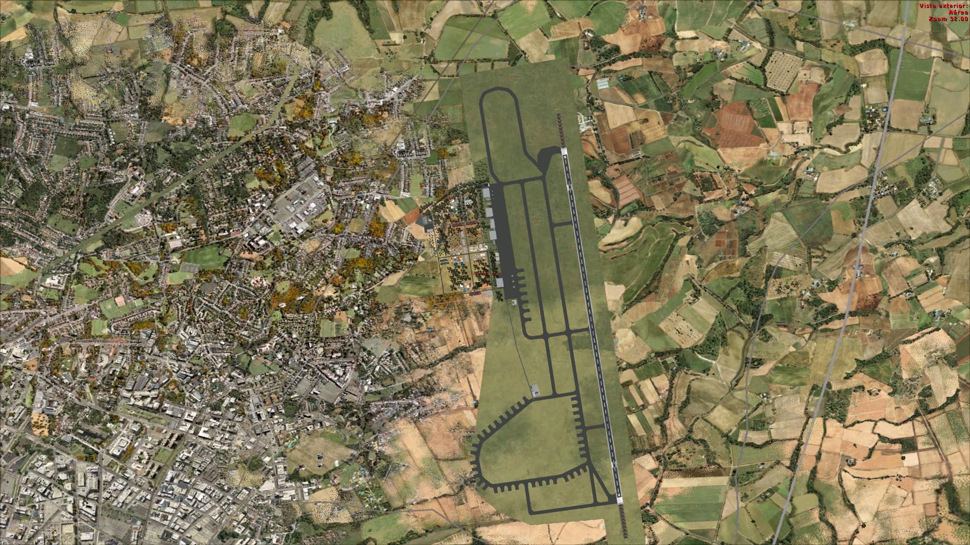
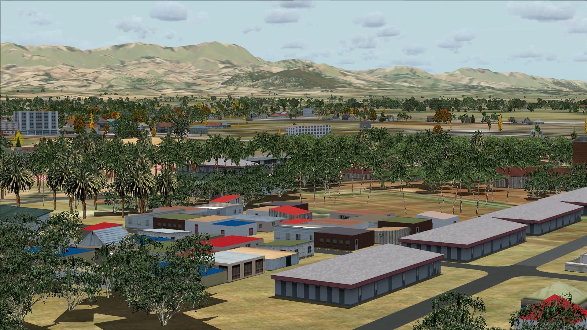
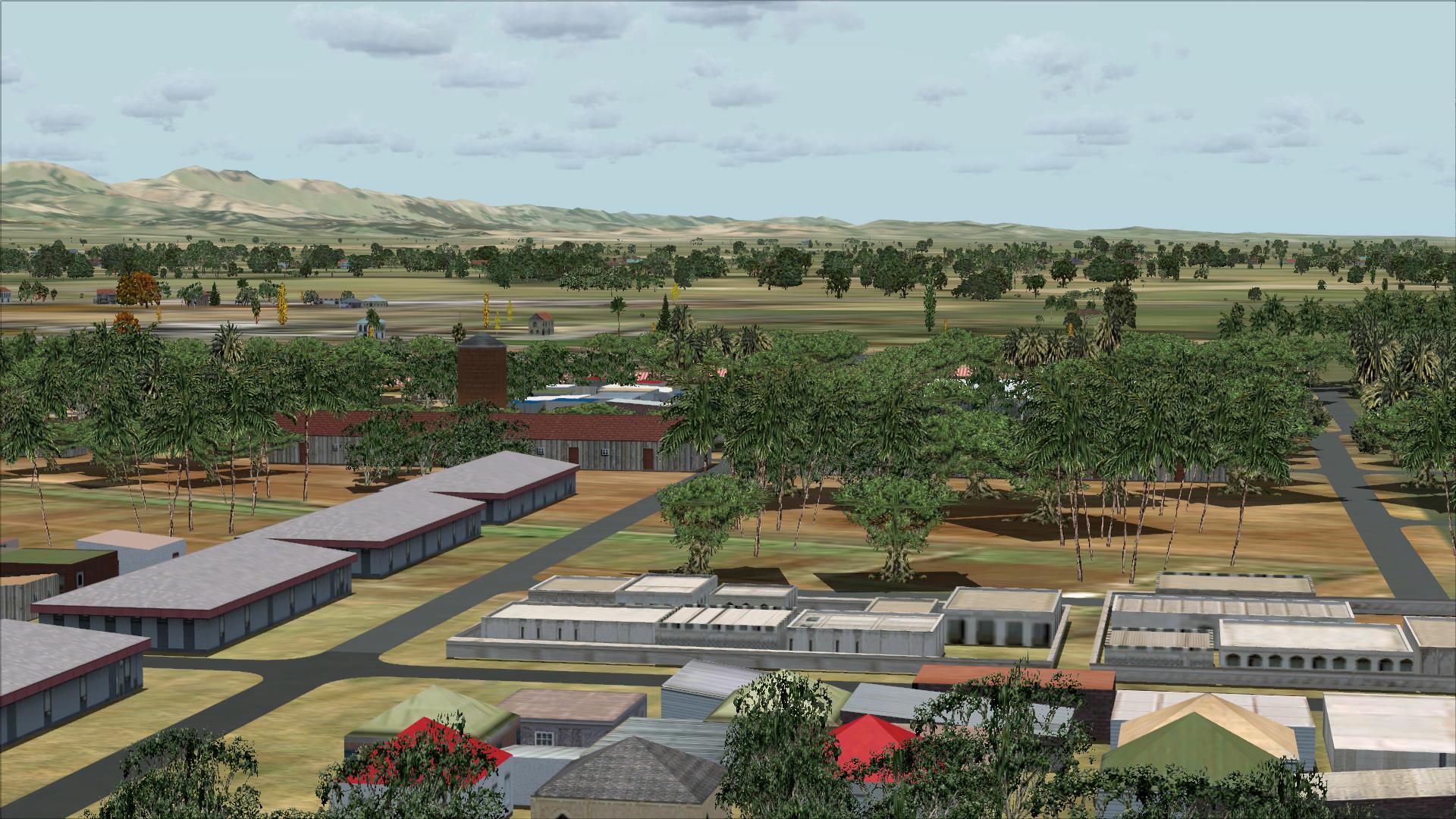
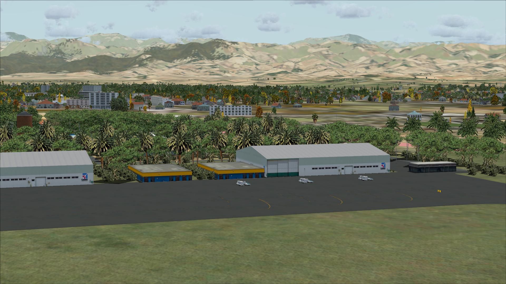
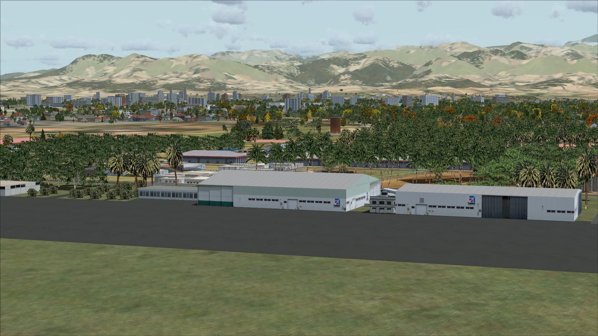
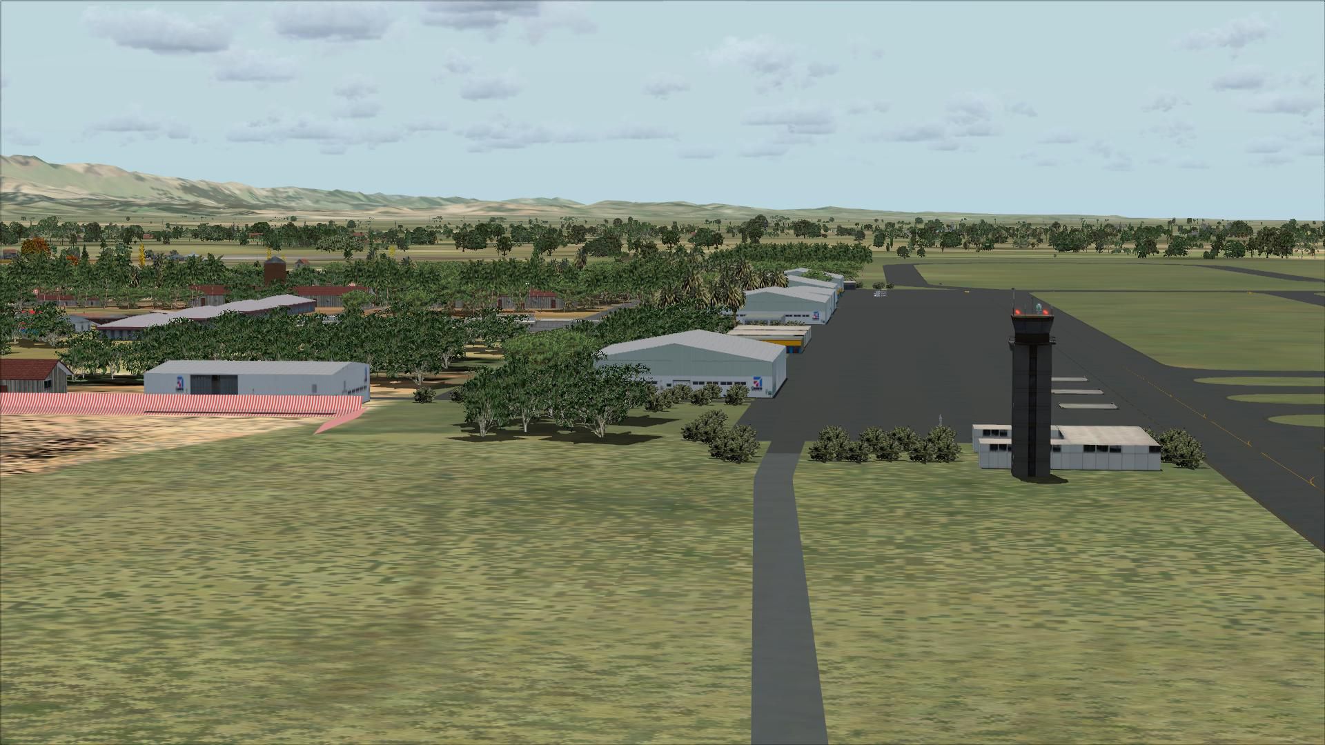
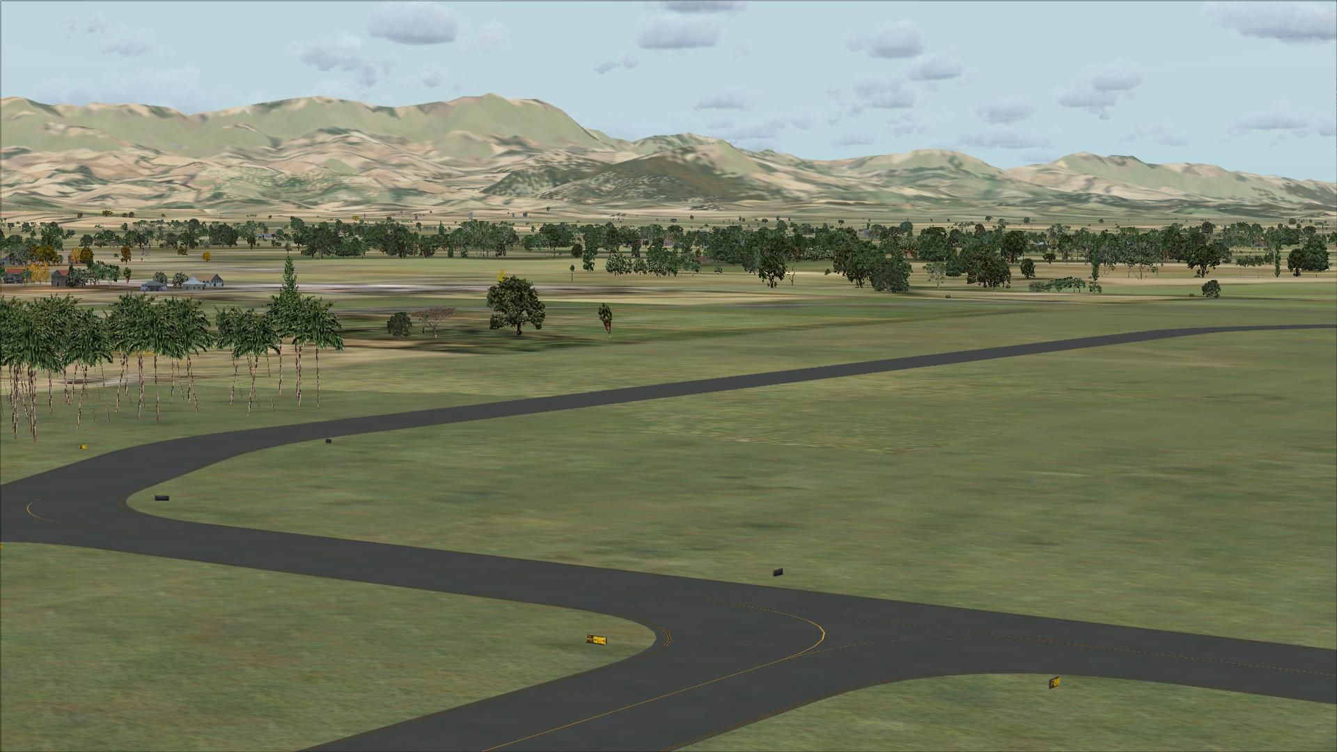
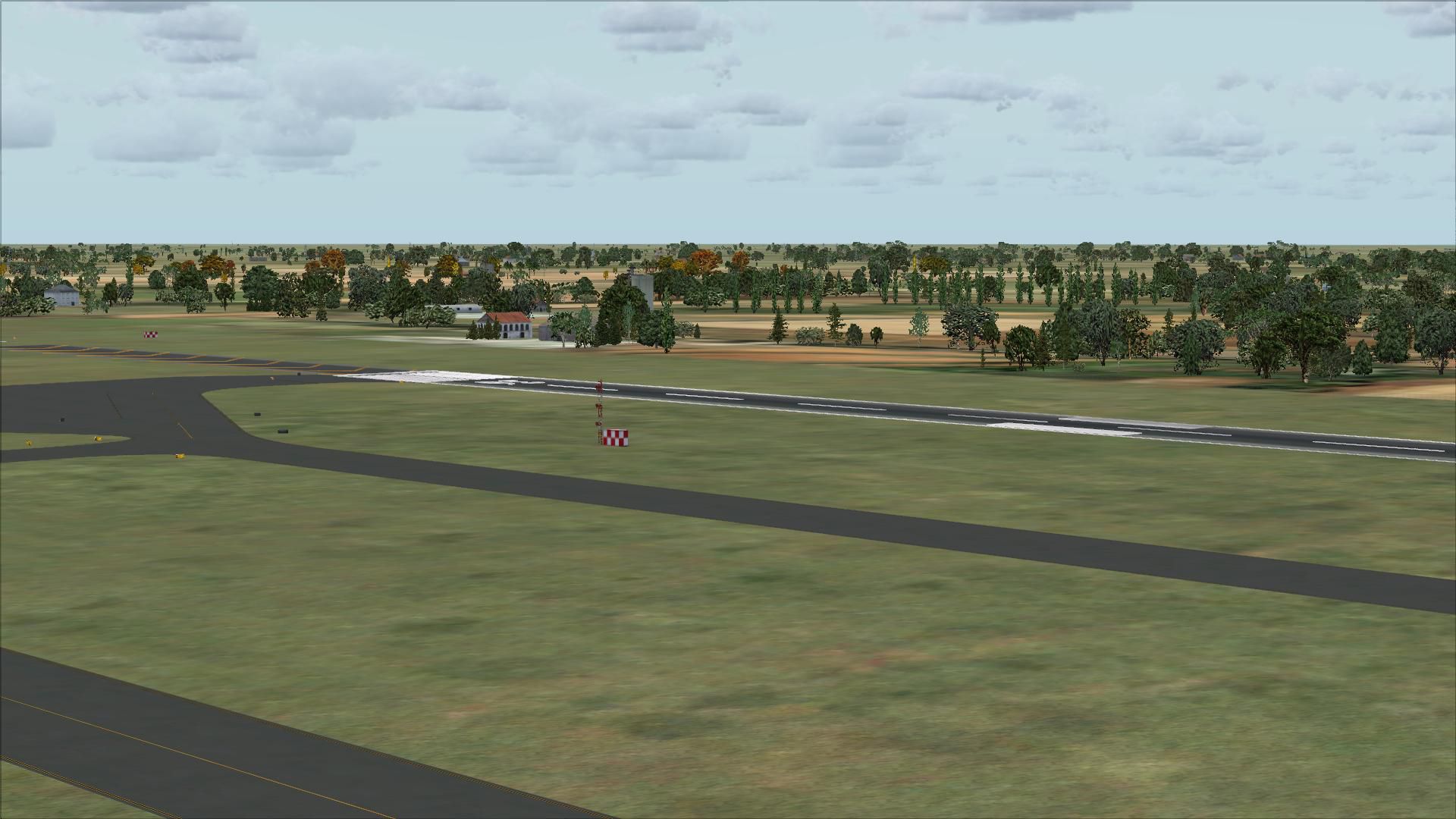
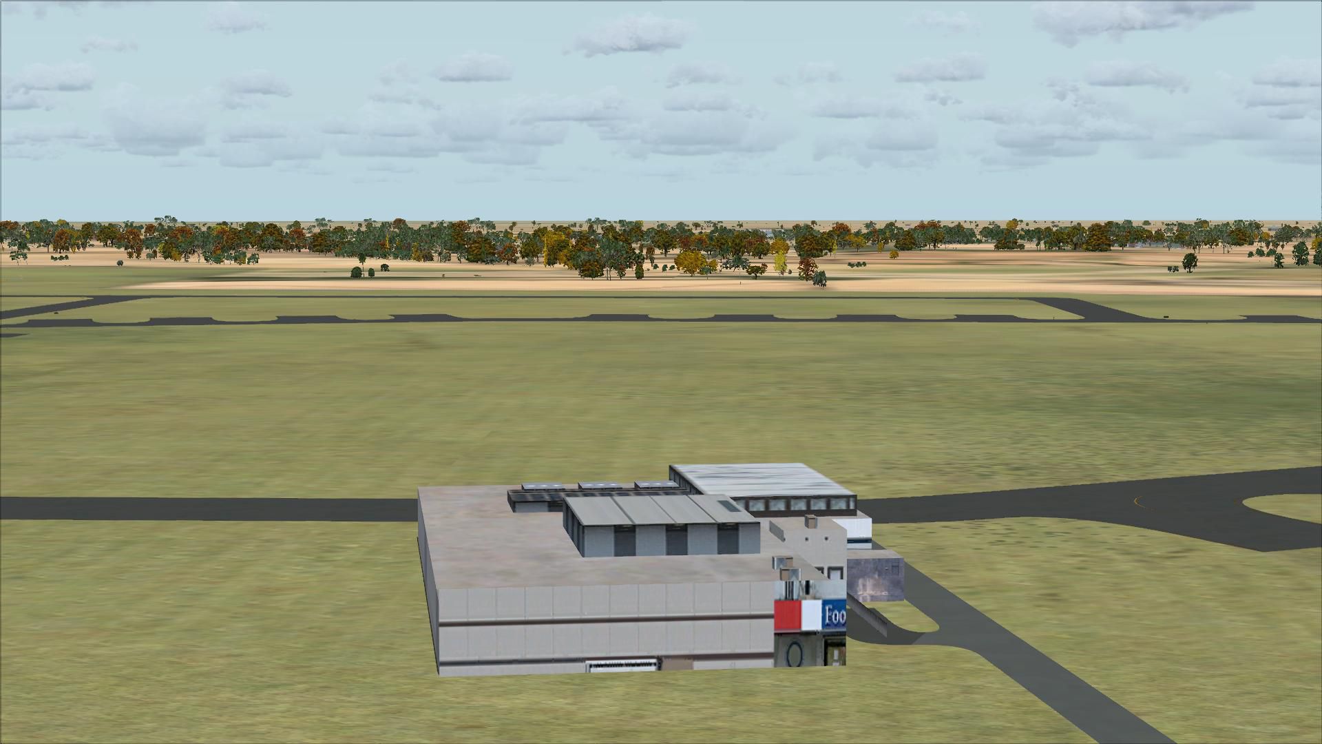
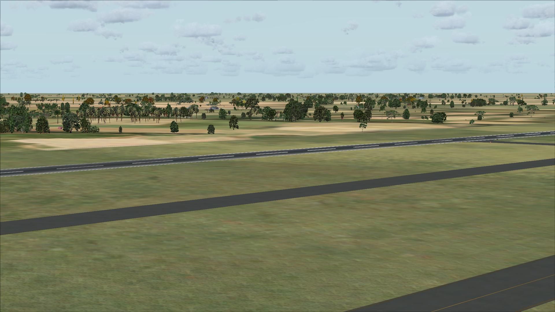
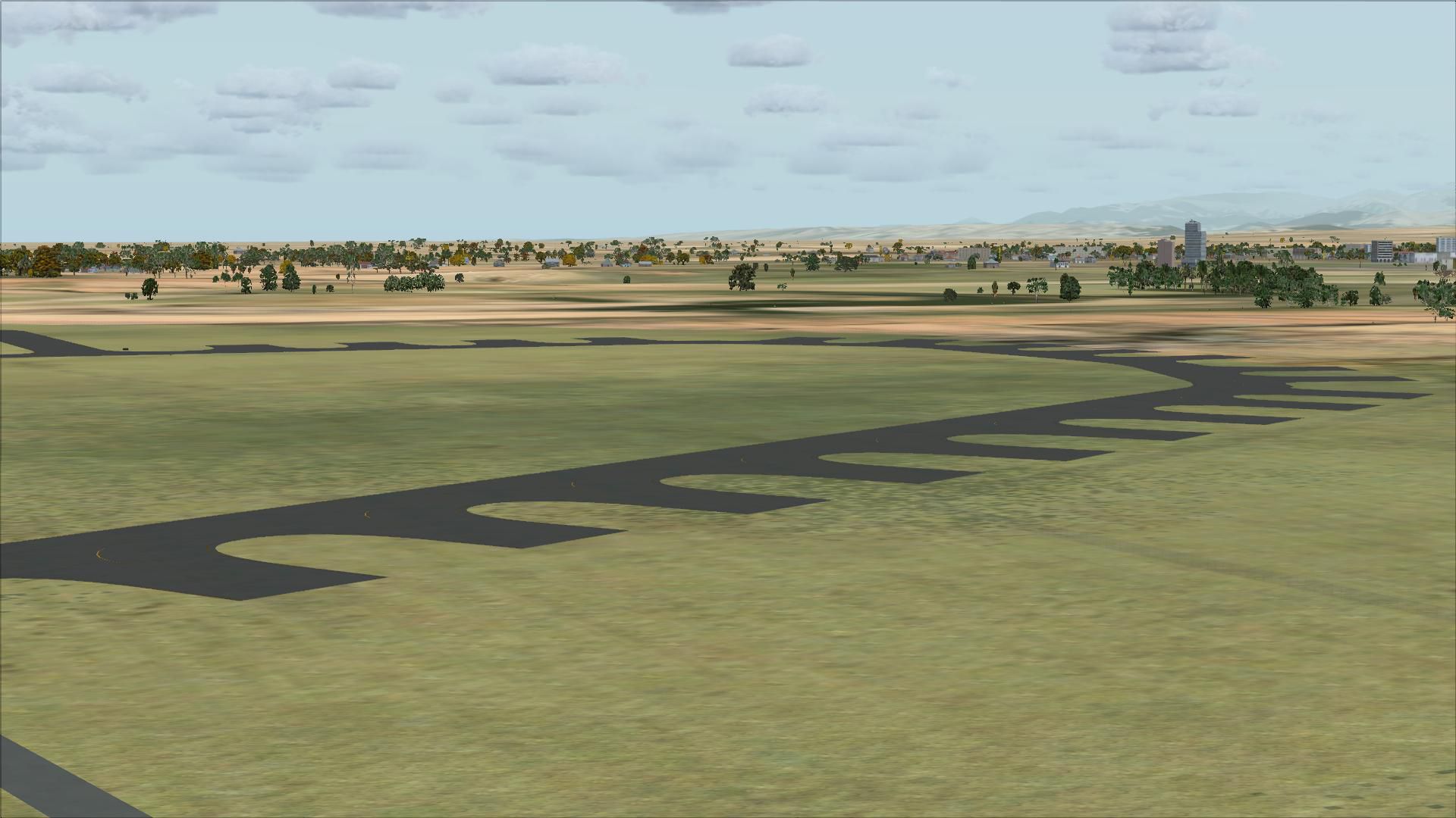
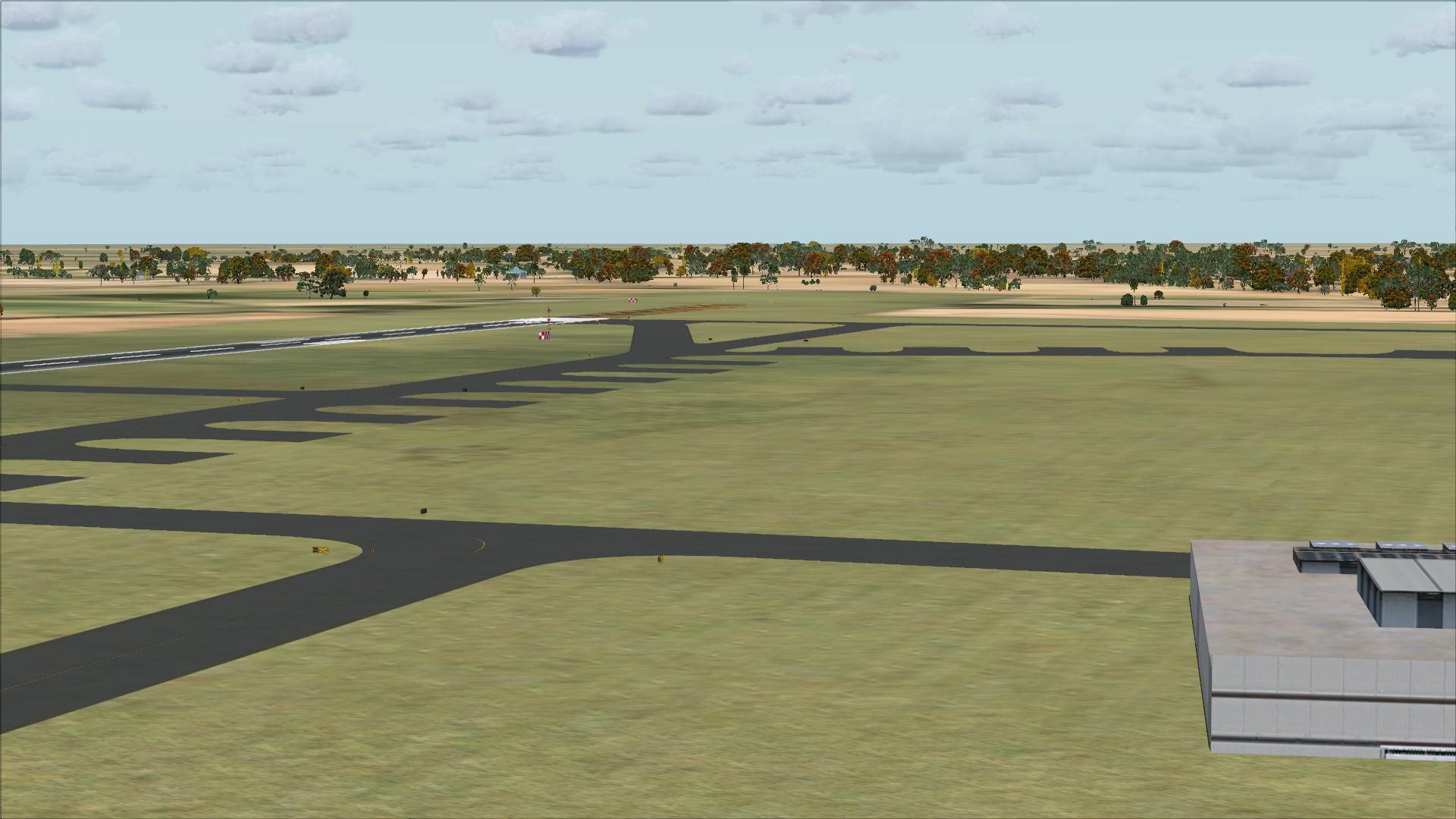
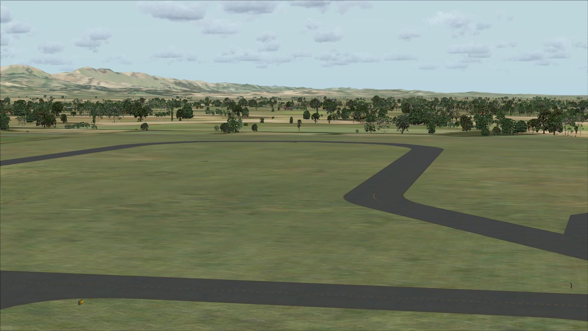
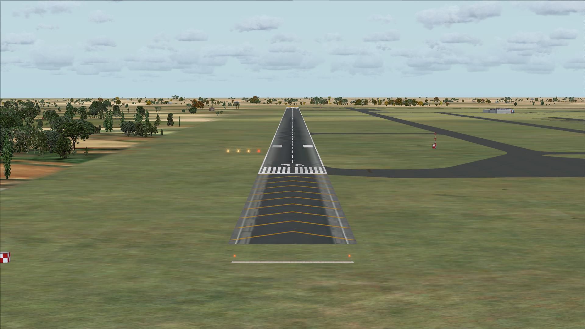
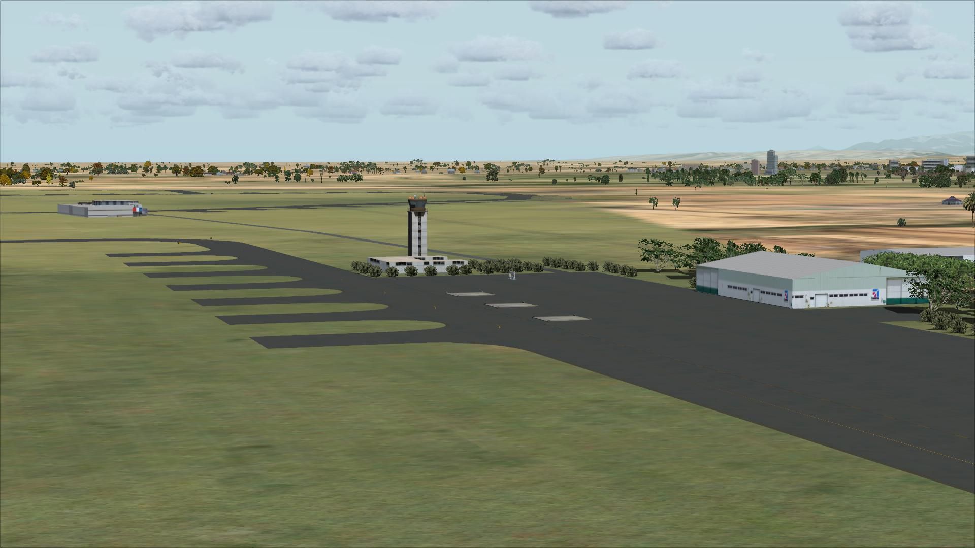
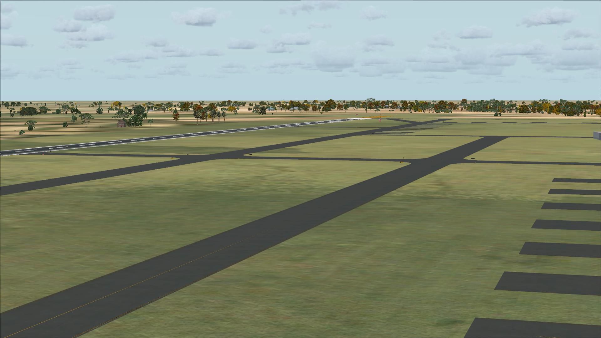
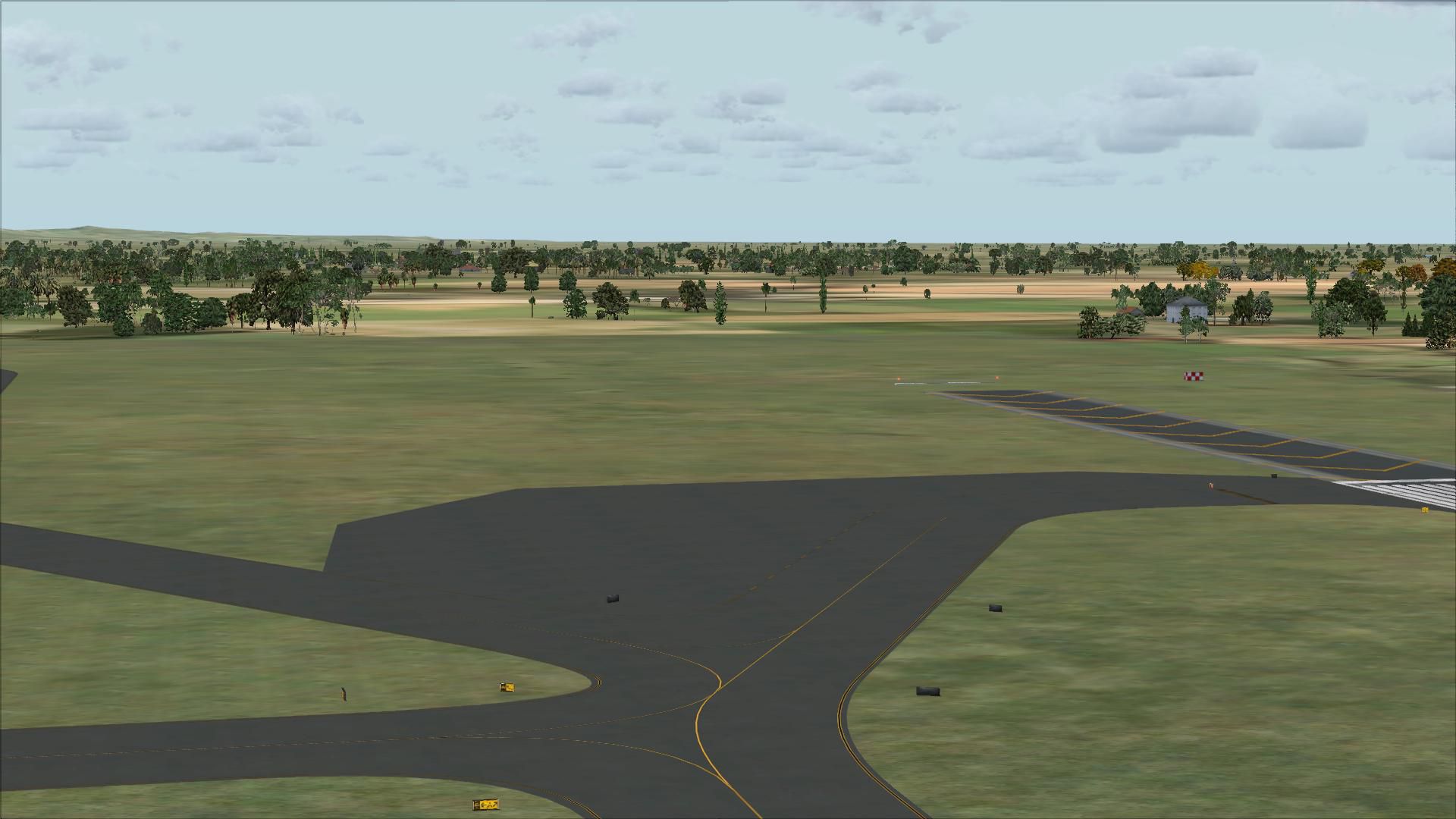
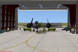
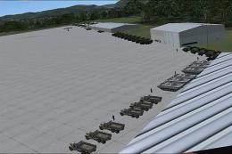
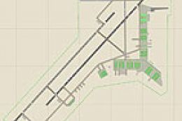
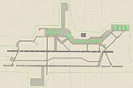
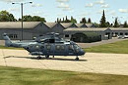
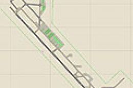
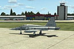
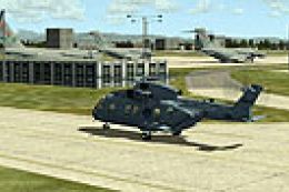
Chiayi Air Force Base (RCKU) in Taiwan comes to life with an enhanced airfield layout for sharper military operations and realistic departures in Microsoft Flight Simulator X. The package installs as a compiled RCKU.BGL scenery file and requires the FSX SDK to build and place the airport environment correctly.

 Taiwan, Province of China
 - File: rcku.zip
- Size:5.85 MB
- Scan:
Clean (3d)

- Access:Freeware
- Content:Everyone
 Chiayi AFB (RCKU), Taiwan scenery. RCKU Enhanced.
- You have to install the FSX SDK first.
- Put the file "RCKU.BGL" into \Microsoft Flight Simulator X\Addon Scenery\scenery folder.
- Done, and fly!
Developer: Paul Ting
Images & Screenshots


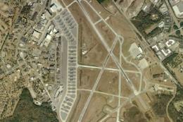
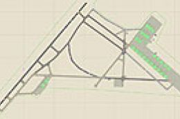
Finding the Scenery
- FSX/Prepar3D Coordinates:
-
23.46100000,120.39280000
Use the downloaded flight plan file by launching FSX/P3D, selecting "Load Flight Plan" in the flight planner, and choosing the .pln file. Your aircraft will be positioned directly at the add-on’s location. - Decimal Degrees (DD):
-
Latitude: 23.461000°
Longitude: 120.392800° - Degrees, Minutes, Seconds (DMS):
-
Latitude: 23° 27' 39.600" N
Longitude: 120° 23' 34.080" E
Map Location
The archive rcku.zip has 29 files and directories contained within it.
File Contents
This list displays the first 500 files in the package. If the package has more, you will need to download it to view them.
| Filename/Directory | File Date | File Size |
|---|---|---|
| RCKU.BGL | 02.21.09 | 60.44 kB |
| read me.txt | 02.28.09 | 274 B |
| flyawaysimulation.txt | 10.29.13 | 959 B |
| Go to Fly Away Simulation.url | 01.22.16 | 52 B |
| Screenshots | 09.13.19 | 0 B |
| screen-1.jpg | 09.11.19 | 179.99 kB |
| screen-10.jpg | 09.11.19 | 181.06 kB |
| screen-11.jpg | 09.11.19 | 170.96 kB |
| screen-12.jpg | 09.11.19 | 203.93 kB |
| screen-13.jpg | 09.11.19 | 221.77 kB |
| screen-14.jpg | 09.11.19 | 195.42 kB |
| screen-15.jpg | 09.11.19 | 172.12 kB |
| screen-16.jpg | 09.11.19 | 197.33 kB |
| screen-17.jpg | 09.11.19 | 190.95 kB |
| screen-18.jpg | 09.11.19 | 194.75 kB |
| screen-19.jpg | 09.11.19 | 271.91 kB |
| screen-2.jpg | 09.11.19 | 168.72 kB |
| screen-20.jpg | 09.11.19 | 405.36 kB |
| screen-21.jpg | 09.11.19 | 368.04 kB |
| screen-22.jpg | 09.11.19 | 405.97 kB |
| screen-23.jpg | 09.11.19 | 323.64 kB |
| screen-24.jpg | 09.11.19 | 501.84 kB |
| screen-3.jpg | 09.11.19 | 177.47 kB |
| screen-4.jpg | 09.11.19 | 248.60 kB |
| screen-5.jpg | 09.11.19 | 288.32 kB |
| screen-6.jpg | 09.11.19 | 299.02 kB |
| screen-7.jpg | 09.11.19 | 290.38 kB |
| screen-8.jpg | 09.11.19 | 266.69 kB |
| screen-9.jpg | 09.11.19 | 217.79 kB |
Installation Instructions
Most of the freeware add-on aircraft and scenery packages in our file library come with easy installation instructions which you can read above in the file description. For further installation help, please see our Flight School for our full range of tutorials or view the README file contained within the download. If in doubt, you may also ask a question or view existing answers in our dedicated Q&A forum.


0 comments
Leave a Response