 FSX Scenery
Meigs Field
Meigs Field Chicago, Illinois (IL). Restores the greatly missed one-time Flig…
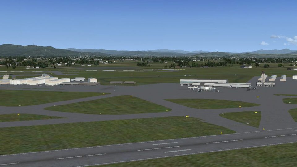
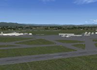
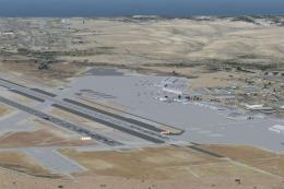
Eugene’s KEUG Mahlon Sweet Field gets a faithful, updated layout for FSX, reflecting real-world runway changes by removing 3–21 and adding 34R–16L. Version 2 also fixes runway end identifiers, refines taxiways and signage, realigns part of the terminal, and adds airport detail with jetways plus static service vehicles.
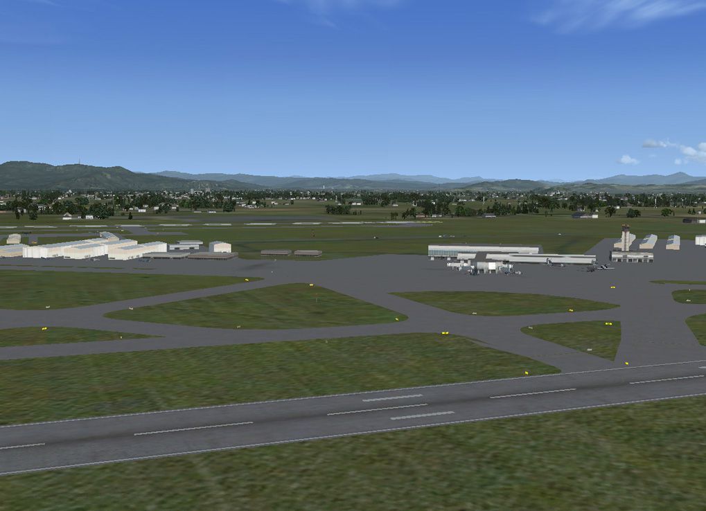
Mahlon Sweet Field OR, v2. This is an improved rendition of the stock KEUG (Mahlon Sweet Field Airport) located in Eugene, Oregon, USA. Two major changes have been made: (1) runway 3-21 has been removed and (2) runway 34R-16L has been added. Both of these changes were made to the airport several years ago but have not been reflected in Flight Simulator. Version 2 includes corrections of the 34L-16R end runway descriptors, repair of some taxiways and signs, re-alignment of a portion of the terminal building and the addition of several static objects including fuel trucks. By Dan Reynolds.
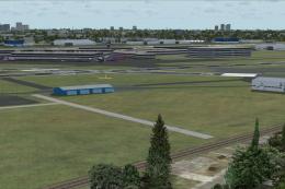
Mahlon Sweet Field Scenery.
Airport Design Editor (ADE), version 1.37.05 was used for the entire project. Thanks to Jon (Scruffyduck) for a great product. Also, a special thanks to Mal in Eugene for his help. The project has been tested with World of AI, FSGenesis terrain mesh and land class, Ultimate Terrain X (UTX) and Ground Environment X (GTX).
Several complexity settings have been made. In FSX, go to Options>Settings>Display...>Settings-Display>Scenery>Scenery objects>scenery complexity.
Very Sparse – terminal building, control tower and fire station.
Dense – remaining buildings.
Very Dense – jetways and static objects.
INSTALLATION:
Without Ultimate Terrain X Installed:
Extract and place the two bgl files (KEUG_ADE_DKR.BGL and KEUG_ADE_DKR_CVX.bgl) into the Addon Scenery>Scenery folder and restart FSX.
With Ultimate Terrain X Installed:
Several exclusions have been made so that the UTX roads and traffic do not interfere with the new runway and taxiways. For these exclusions to work properly, the KEUG_ADE_DKR.BGL and KEUG_ADE_DKR_CVX.bgl files must be placed above the Ultimate Terrain X files in the FSX Scenery Library. In FSX, please refer to Learning Center>Help>S>Scenery for instructions.
Dan Reynolds
Free for all simmers · 196.61 KB · Scanned clean
Download speed: Free tier is capped at 0.5 Mbps. PRO members download at full line speed.
FSX\Addon Scenery\ containing scenery and texture sub-folders.readme.txt or README file. It tells you exactly where files go, what dependencies are needed, and any quirks specific to this add-on.Use these coordinates to fly directly to this location once the mod is installed.
44.12420000,-123.21190000
Launch FSX or Prepar3D and use Flights → Load to open the downloaded .pln file. Your aircraft will be positioned at this location.
The archive keug2.zip has 7 files and directories contained within it.
This list displays the first 500 files in the package. If the package has more, you will need to download it to view them.
| Filename/Directory | File Date | File Size |
|---|---|---|
| KEUG_ADE_DKR_CVX.bgl | 03.26.09 | 1.45 kB |
| KEUG.gif | 03.26.09 | 11.76 kB |
| KEUG.jpg | 03.26.09 | 193.13 kB |
| KEUG_ver2_readme.txt | 03.26.09 | 1.81 kB |
| KEUG_ADE_DKR.BGL | 03.26.09 | 27.43 kB |
| flyawaysimulation.txt | 10.29.13 | 959 B |
| Go to Fly Away Simulation.url | 01.22.16 | 52 B |
More FSX & P3D add-ons hand-picked based on this download.
FSX Scenery
Meigs Field Chicago, Illinois (IL). Restores the greatly missed one-time Flig…
 FSX Scenery
1n 1996, The USMC abandoned the cramped quarters of MCAS El Toro and MCAS Tus…
 FSX Scenery
Dallas Love Field v1.5. Dallas Love Field (KDAL), Texas (TX) is home for Sout…
 FSX Scenery
Eppley Field (KOMA), Omaha, Nebraska (NE). This scenery is for FSX SP2 only. …
 FSX Scenery
Ellington Field (KEFD), Houston, Texas (TX). Aside from being a civil airport…
 FSX Scenery
Scenery Adams Field (KLIT), Little Rock, Arkansas (AR). This scenery is for F…
 FSX Scenery
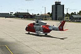
Floyd Bennett Field and CGAS Brooklyn (CGAS). Author: Jim Dhaenens (jdhaenens…
 FSX Scenery
Scenery Dallas Love Field (KDAL), Texas (TX). Includes versions with the cros…
Be the first to leave a comment on this download.
Be the first to share your thoughts on this download.