FSX Camilo Daza International Airport Scenery
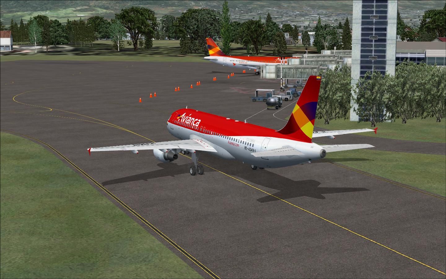
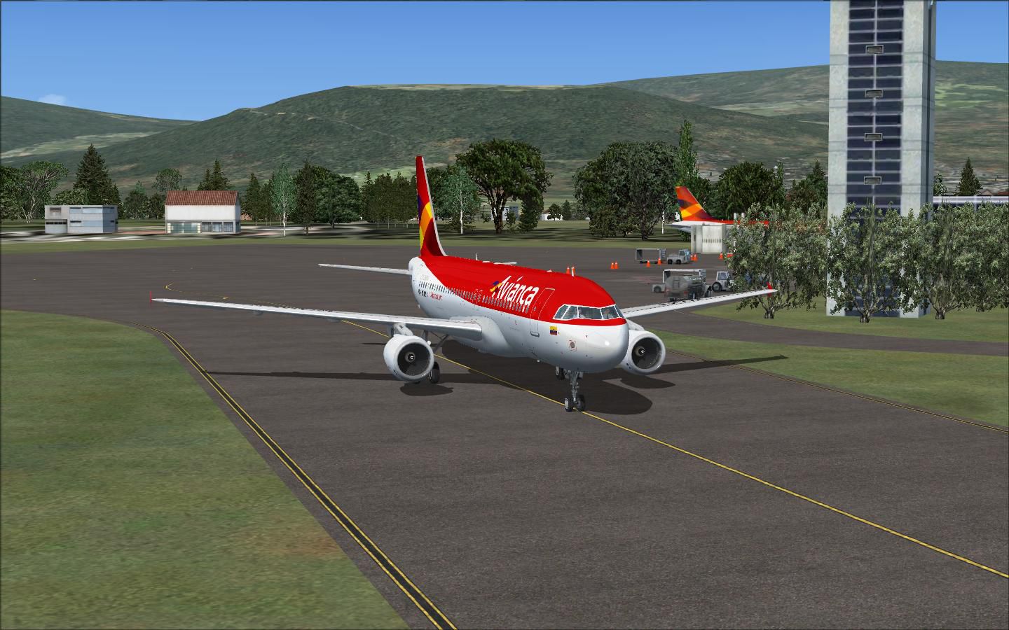
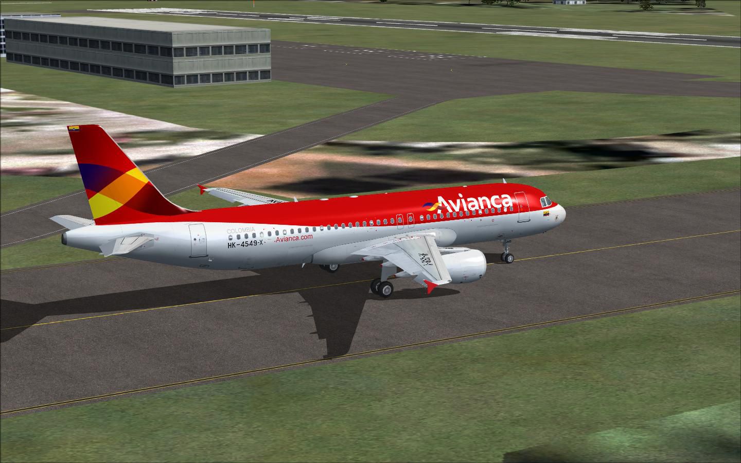
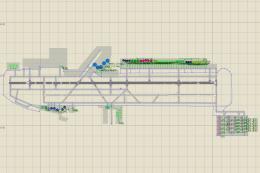
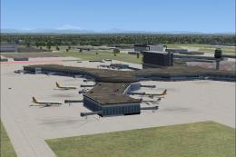
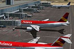
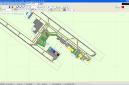
Camilo Daza International Airport (SKCC) scenery refreshes Cúcuta, Colombia with an upgraded terminal area, expanded parking on the north and south aprons, and dedicated helipads for more varied operations in FSX. The layout suits regional airline traffic and adds extra ramp capacity for smoother arrivals, turnarounds, and departures.

 Colombia
 - File: camilodazaintl.zip
- Size:848.16 KB
- Scan:
Clean (24d)

- Access:Freeware
- Content:Everyone
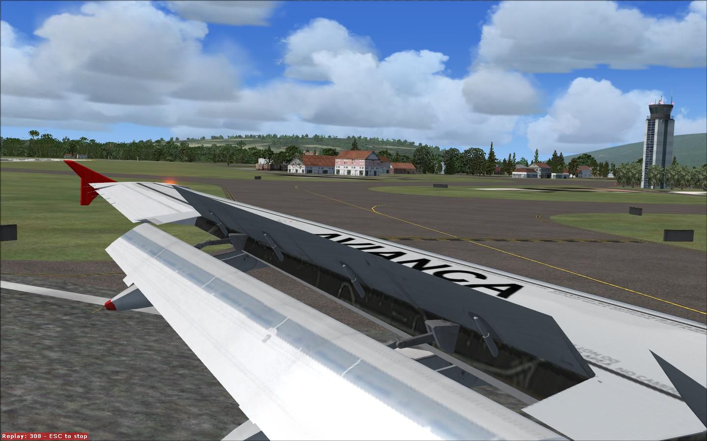
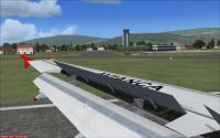
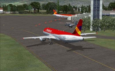
Scenery Camilo Daza International Airport. Upgrade Camilo Daza Int'l (SKCC) in Cucuta, Colombia. Added more parking north and south of main terminal, as well as heli pads. Note: This is Avianca's A320 HK-4549-X route stops. The A32O HK-4549-X will always fly back to Eldorado for next destination. By Shanard Letang.
Camilo Daza International Airport Scenery.
Camilo Daza International Airport Scenery.
Images & Screenshots


Finding the Scenery
- FSX/Prepar3D Coordinates:
-
7.92757000,-72.51150000
Use the downloaded flight plan file by launching FSX/P3D, selecting "Load Flight Plan" in the flight planner, and choosing the .pln file. Your aircraft will be positioned directly at the add-on’s location. - Decimal Degrees (DD):
-
Latitude: 7.927570°
Longitude: -72.511500° - Degrees, Minutes, Seconds (DMS):
-
Latitude: 7° 55' 39.252" N
Longitude: 72° 30' 41.400" W
Map Location
The archive camilodazaintl.zip has 8 files and directories contained within it.
File Contents
This list displays the first 500 files in the package. If the package has more, you will need to download it to view them.
| Filename/Directory | File Date | File Size |
|---|---|---|
| SKCC_ADEX_SEL.BGL | 04.24.10 | 10.19 kB |
| SKCC1.JPG | 04.24.10 | 218.09 kB |
| SKCC2.JPG | 04.24.10 | 138.36 kB |
| SKCC3.JPG | 04.24.10 | 139.26 kB |
| SKCC4.JPG | 04.24.10 | 193.61 kB |
| SKCC5.JPG | 04.24.10 | 166.83 kB |
| flyawaysimulation.txt | 10.29.13 | 959 B |
| Go to Fly Away Simulation.url | 01.22.16 | 52 B |
Installation Instructions
Most of the freeware add-on aircraft and scenery packages in our file library come with easy installation instructions which you can read above in the file description. For further installation help, please see our Flight School for our full range of tutorials or view the README file contained within the download. If in doubt, you may also ask a question or view existing answers in our dedicated Q&A forum.


0 comments
Leave a Response