FSX Wings & Wheels Airshow Scenery
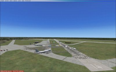
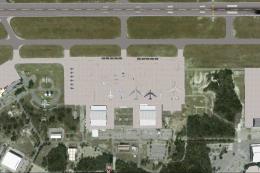
Wings & Wheels Airshow scenery transforms KMIV Millville Municipal Airport in New Jersey into a show-ready field with crowd areas, static displays, and featured aircraft placed along the flight line. Designed with Airport Design Editor, it recreates the event atmosphere for FSX with recognizable performer presence and ramp-side detail.
 United States of America
 - File: kmiv.zip
- Size:364.11 KB
- Scan:
Clean (26d)

- Access:Freeware
- Content:Everyone
Scenery Wings & Wheels Airshow. KMIV (Millville Municipal Airport) - Wheels & Wings Airshow FSX Scenery, New Jersey (NJ). This show includes lots of performers such as Greg Poe, Rob Holland, Dr. Smoke Airshows, Flying Farmer, Blue Angels, Thunderbirds, Snowbirds, F-15, A-10, P-51, and its host, David Schultz Airshows LLC. This scenery was built with Airport Design Editor and built by Holden Smith.
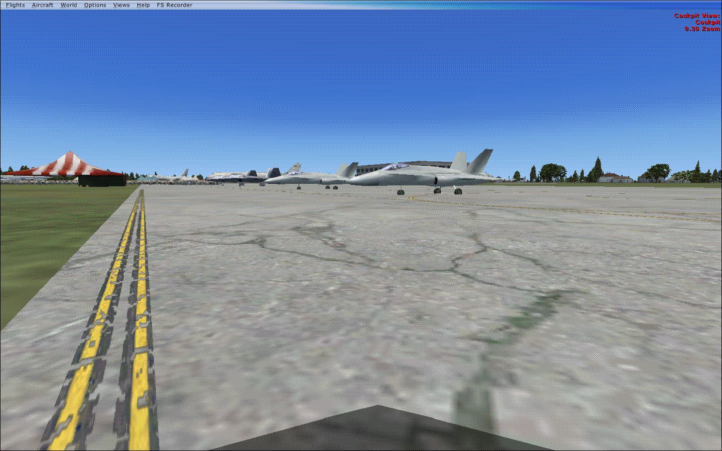
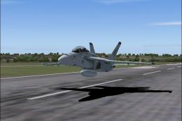
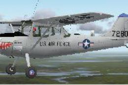
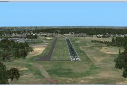
Screenshot of Jets on the ground.
This is the airshow scenery for Millville Municipal Airport's Wheels & Wings Airshow. This show includes lots of performers such as, Greg Poe, Rob Holland, Dr. Smoke Airshows, Flying Farmer, Blue Angels, Thunderbirds, Snowbirds, F-15, A-10, P-51, and its host, David Schultz Airshows LLC. This scenery was built with Airport Design Editor and built by Holden Smith. The instruction for installation are below:
INSTALLATION:
You can do this of 1 or 2 ways. (1) add the Blues.bgl and Crowd.bgl files in your FSX Addon Scenery/Scenery Folder. (2) place the KMIV zip folder in the Addon Scenery Folder. Start FSX. Go to settings and Scenery Library. Click Add Area, and click on the KMIV folder, and check the box.
You can remove some of the scenery in a different folder such as, you can remove the crowd and static displays or can remove the Blue Angels sitting on the flight line.
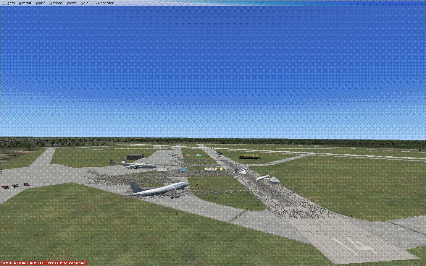
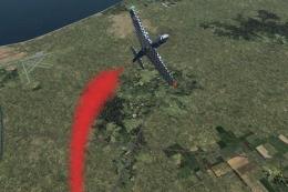
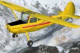
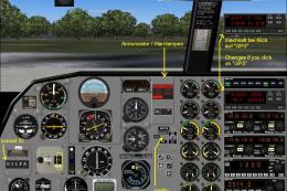
Screenshot of a crashed plane.
Images & Screenshots

Finding the Scenery
- FSX/Prepar3D Coordinates:
-
39.36780000,-75.07220000
Use the downloaded flight plan file by launching FSX/P3D, selecting "Load Flight Plan" in the flight planner, and choosing the .pln file. Your aircraft will be positioned directly at the add-on’s location. - Decimal Degrees (DD):
-
Latitude: 39.367800°
Longitude: -75.072200° - Degrees, Minutes, Seconds (DMS):
-
Latitude: 39° 22' 04.080" N
Longitude: 75° 04' 19.920" W
Map Location
The archive kmiv.zip has 7 files and directories contained within it.
File Contents
This list displays the first 500 files in the package. If the package has more, you will need to download it to view them.
| Filename/Directory | File Date | File Size |
|---|---|---|
| Blues.BGL | 07.13.10 | 19.01 kB |
| Crowd.BGL | 07.13.10 | 21.27 kB |
| Readme.txt | 07.13.10 | 1.19 kB |
| pic1.gif | 07.15.10 | 174.73 kB |
| pic2.gif | 07.15.10 | 170.28 kB |
| flyawaysimulation.txt | 10.29.13 | 959 B |
| Go to Fly Away Simulation.url | 01.22.16 | 52 B |
Installation Instructions
Most of the freeware add-on aircraft and scenery packages in our file library come with easy installation instructions which you can read above in the file description. For further installation help, please see our Flight School for our full range of tutorials or view the README file contained within the download. If in doubt, you may also ask a question or view existing answers in our dedicated Q&A forum.

0 comments
Leave a Response