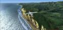
FSX Abel Tasman National Park Scenery
Abel Tasman National Park comes alive with photoreal terrain across roughly 320 square miles on New Zealand’s South Island, delivering convincing coastline, beaches, and native landscape detail for low-and-slow sightseeing and VFR navigation. Designed for FSX, it blends smoothly into the surrounding region to enhance scenic flights.


 New Zealand
 - File: abel-tasman-fsx.zip
- Size:94.09 MB
- Scan:
Clean (21d)

- Access:Freeware
- Content:Everyone
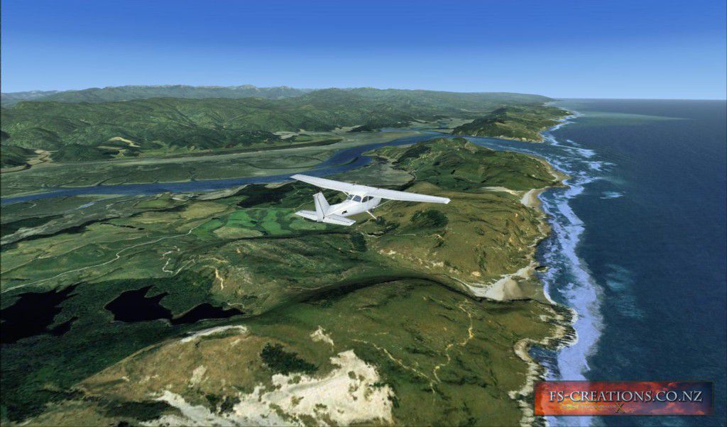
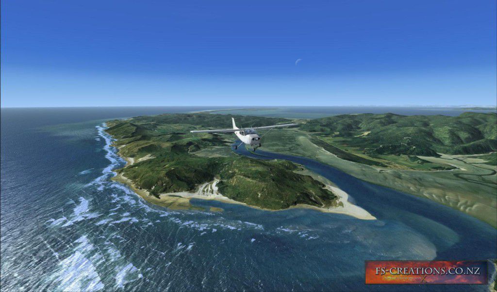
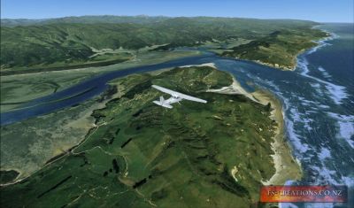
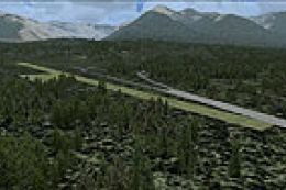
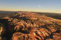
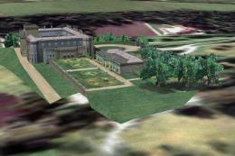
Scenery Abel Tasman National Park photoreal scenery, New Zealand. This freeware version of "Abel Tasman National Park" covers approx 320 sq miles of the Abel Tasman National Park on the northern tip of the South Island of New Zealand. By Micheal Allen-Andrews.
Screenshot of Abel Tasman National Park Scenery.
Install Instructions:
Extract the Zip file into your "addon scenery" Folder of FSX and then Activate as you would any other new scenery.
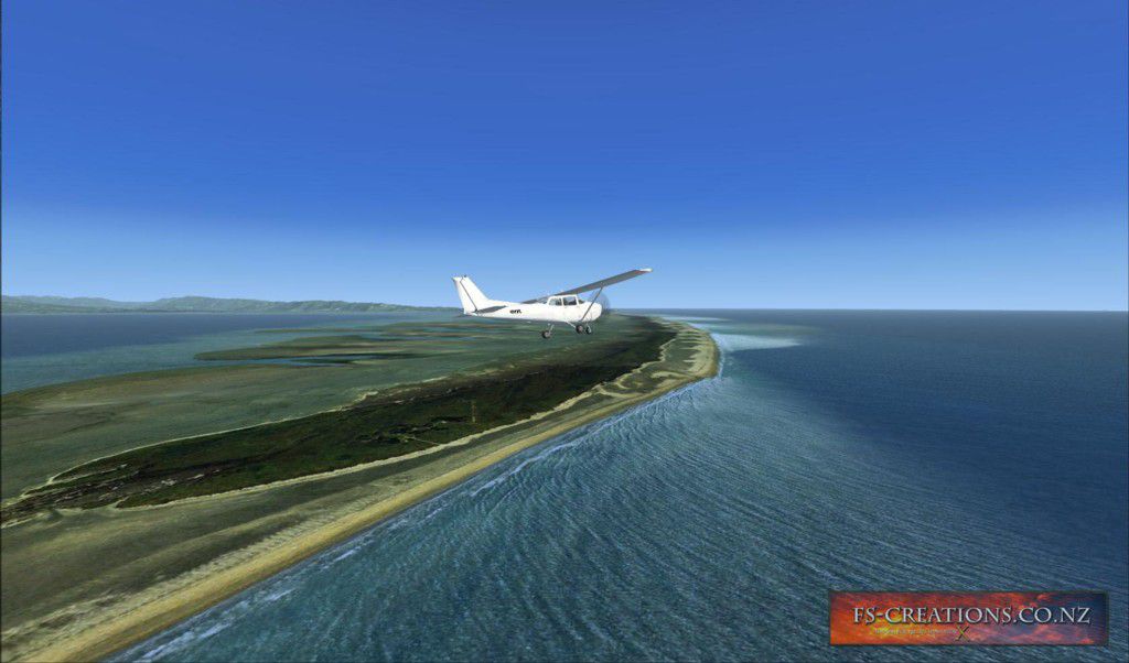
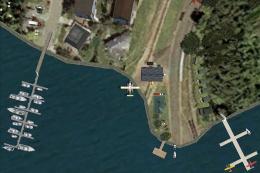
Screenshot of Abel Tasman National Park Scenery.
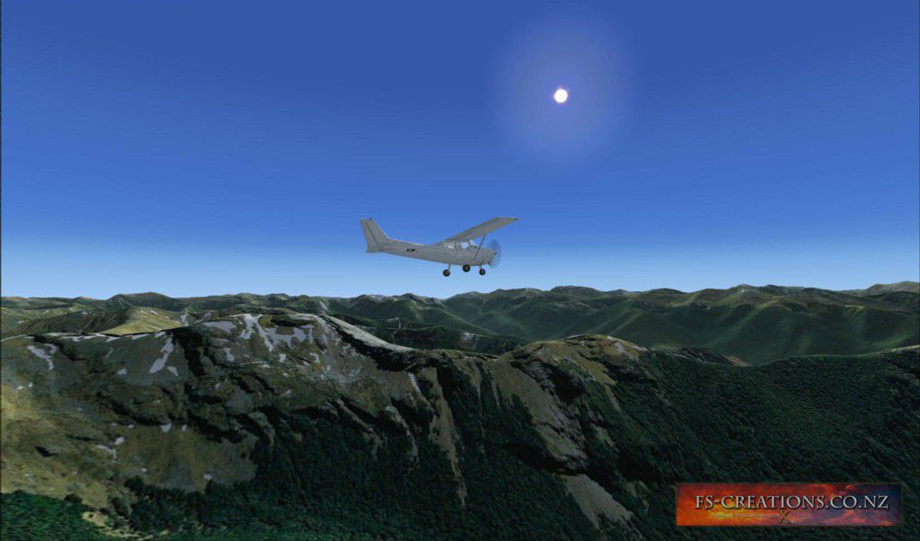
Images & Screenshots

Finding the Scenery
- FSX/Prepar3D Coordinates:
-
-40.90000000,172.90000000
Use the downloaded flight plan file by launching FSX/P3D, selecting "Load Flight Plan" in the flight planner, and choosing the .pln file. Your aircraft will be positioned directly at the add-on’s location. - Decimal Degrees (DD):
-
Latitude: -40.900000°
Longitude: 172.900000° - Degrees, Minutes, Seconds (DMS):
-
Latitude: 40° 53' 60.000" S
Longitude: 172° 54' 00.000" E
Map Location
The archive abel-tasman-fsx.zip has 13 files and directories contained within it.
File Contents
This list displays the first 500 files in the package. If the package has more, you will need to download it to view them.
| Filename/Directory | File Date | File Size |
|---|---|---|
| readme1st.txt | 07.24.10 | 1.05 kB |
| scenery | 07.20.10 | 0 B |
| AB1_2.bgl | 07.19.10 | 95.09 MB |
| AB1_5.bgl | 07.19.10 | 514.10 kB |
| abeltasman.pdf | 07.21.10 | 891.31 kB |
| 6.jpg | 07.24.10 | 167.88 kB |
| 20.jpg | 07.24.10 | 95.95 kB |
| 1.jpg | 07.24.10 | 190.59 kB |
| 14.jpg | 07.24.10 | 102.62 kB |
| 3.jpg | 07.24.10 | 129.48 kB |
| 8.jpg | 07.24.10 | 146.35 kB |
| flyawaysimulation.txt | 10.29.13 | 959 B |
| Go to Fly Away Simulation.url | 01.22.16 | 52 B |
Installation Instructions
Most of the freeware add-on aircraft and scenery packages in our file library come with easy installation instructions which you can read above in the file description. For further installation help, please see our Flight School for our full range of tutorials or view the README file contained within the download. If in doubt, you may also ask a question or view existing answers in our dedicated Q&A forum.
0 comments
Leave a Response