FSX Mont-Louis la Quillane Airport Scenery
Mont-Louis la Quillane Airport (LFNQ) scenery for FSX recreates a rugged Pyrenees glider field near La Llagonne and a large lake, set in a thermal-rich region ideal for soaring. The package uses default simulator objects to keep performance smooth and positions the airfield within easy reach of LFYS and LFMP for regional flights.


 France
 - File: lfnq.zip
- Size:606.71 KB
- Scan:
Clean (6d)

- Access:Freeware
- Content:Everyone
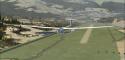
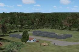
Scenery Mont-Louis la Quillane Airport (LFNQ), France. A magnificent airfield for gliders, at the edge of the Pyrenees Mountains, between France and Spain, close to the village of La Llagonne, on a rough terrain near a large lake in a region full of thermals, very appropriate for soaring around. By Dominique M. L. Donzelot.
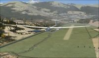
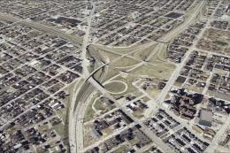
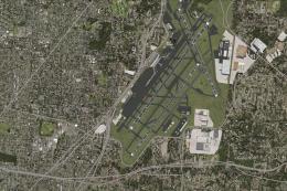
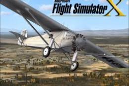
Screenshot of Mont-Louis la Quillane Airport Scenery.
A magnificent airfield for gliders, at the edge of the Pyrenees mountains, close to the village of La Llagonne, on a rough terrain near a large lake in a region full of thermals, very appropriate for soaring around.Not far from Ste Leocadie (LFYS - 8 NM on 40 degr) or Perpignan (LFMP 35 NM on 271 degr).
Thanks to the authors of FSX planner and SbuilderX for those superbes development tools. Using only existing elements of FSX, this should not hit too much your FPS.
Thanks, a lot, to Bruno (BLB) and Patrick (Pat93) from the France Aviation Virtuelle for helping with the testing of the scenery.
There is nothing there which could possibly damage your computer or your FS, so I am not taking any responsibility in any possible incident on your machines.
- unzip the files and folders under your add-on scenery directory.
- declare the scenery.
That's it.
Unfortunatly, as far as I know, this scenery is not compatible with previous versions of FS.
Enjoy flying in that amazing area !
Dominique M.L. Donzelot

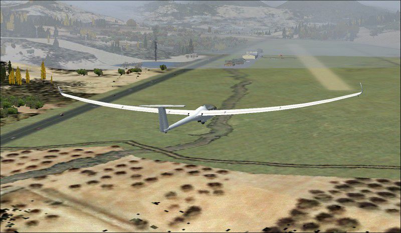
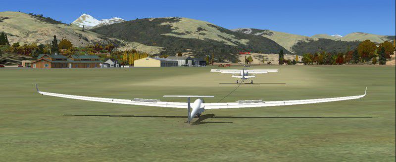
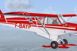
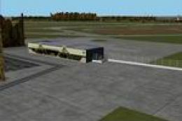
Screenshot of glider on the ground at Mont-Louis la Quillane Airport.
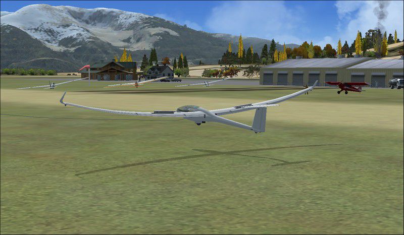
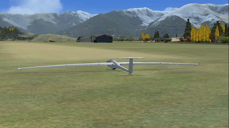
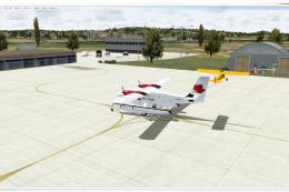
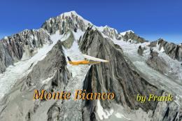
Images & Screenshots

Finding the Scenery
- FSX/Prepar3D Coordinates:
-
42.51000000,2.12000000
Use the downloaded flight plan file by launching FSX/P3D, selecting "Load Flight Plan" in the flight planner, and choosing the .pln file. Your aircraft will be positioned directly at the add-on’s location. - Decimal Degrees (DD):
-
Latitude: 42.510000°
Longitude: 2.120000° - Degrees, Minutes, Seconds (DMS):
-
Latitude: 42° 30' 36.000" N
Longitude: 2° 07' 12.000" E
Map Location
The archive lfnq.zip has 16 files and directories contained within it.
File Contents
This list displays the first 500 files in the package. If the package has more, you will need to download it to view them.
| Filename/Directory | File Date | File Size |
|---|---|---|
| scenery | 10.16.10 | 0 B |
| CVX_LFNQ_Mont-Louis flatten.BGL | 10.16.10 | 685 B |
| CVX_LFNQ_Mont-Louis.BGL | 10.18.10 | 1.53 kB |
| LFNQ_Mont-Louis_LOBX.BGL | 10.18.10 | 2.36 kB |
| LFNQ_Mont-Louis_OBX.BGL | 10.18.10 | 2.79 kB |
| Mont-Louis LFNQ.bgl | 10.17.10 | 1.03 kB |
| Texture | 10.16.10 | 0 B |
| read_me lisez_moi.txt | 10.18.10 | 3.03 kB |
| 1010_AD-2.LFNQ.pdf | 09.22.10 | 194.07 kB |
| MTL1.jpg | 10.18.10 | 62.30 kB |
| MTL2.jpg | 10.18.10 | 92.81 kB |
| MTL3.jpg | 10.18.10 | 100.04 kB |
| MTL4.jpg | 10.18.10 | 87.85 kB |
| MTL5.jpg | 10.18.10 | 74.75 kB |
| flyawaysimulation.txt | 10.29.13 | 959 B |
| Go to Fly Away Simulation.url | 01.22.16 | 52 B |
Installation Instructions
Most of the freeware add-on aircraft and scenery packages in our file library come with easy installation instructions which you can read above in the file description. For further installation help, please see our Flight School for our full range of tutorials or view the README file contained within the download. If in doubt, you may also ask a question or view existing answers in our dedicated Q&A forum.

0 comments
Leave a Response