FSX Aran Islands And Connemara Scenery
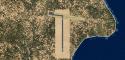
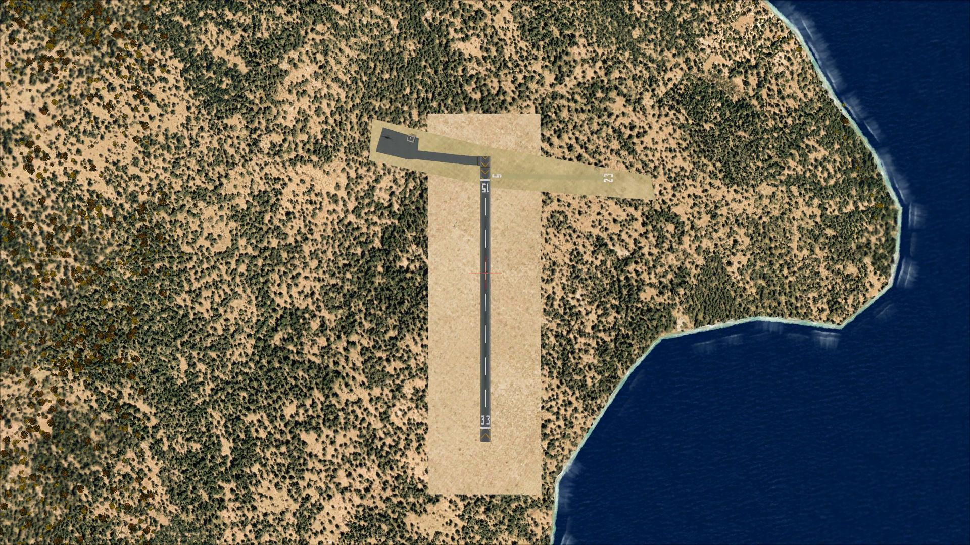
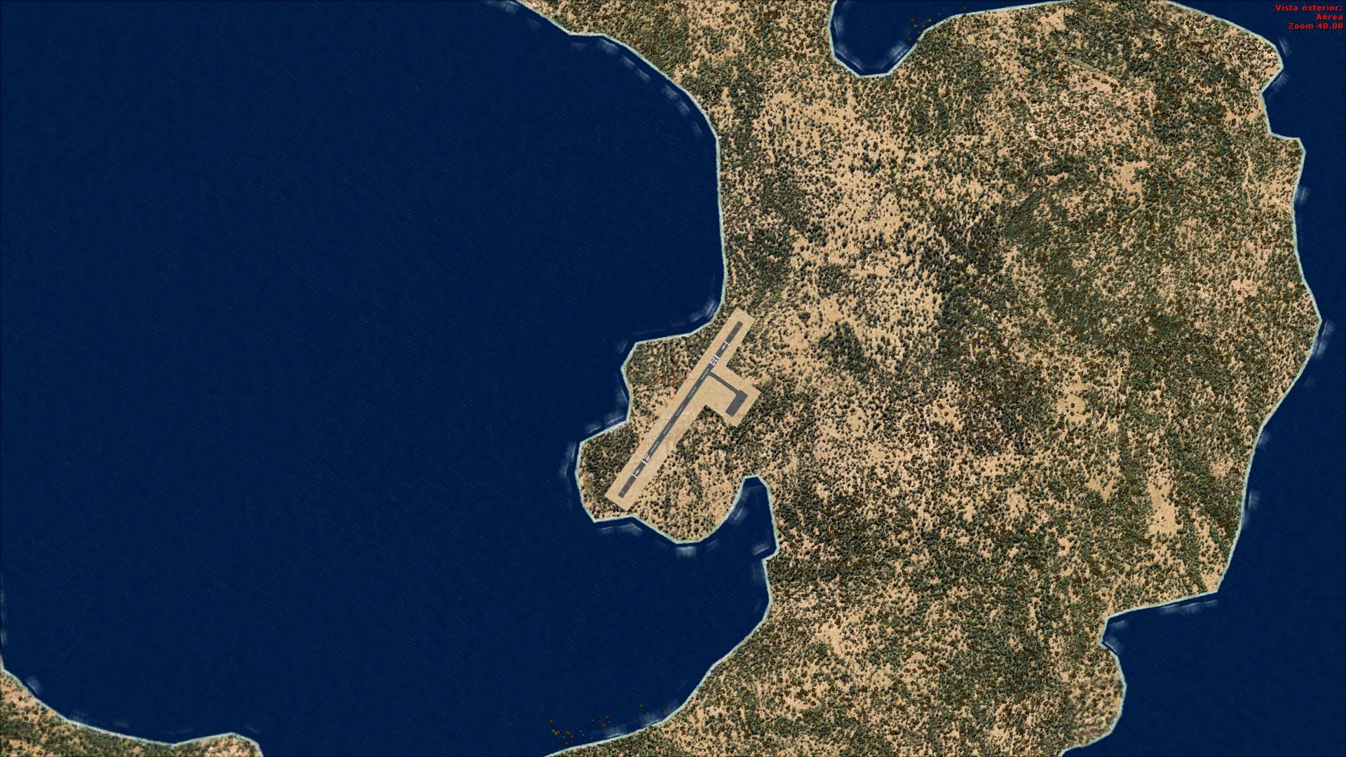
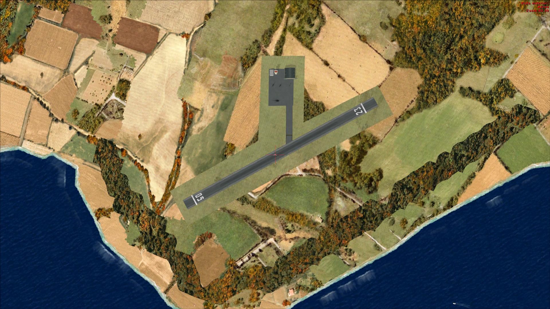
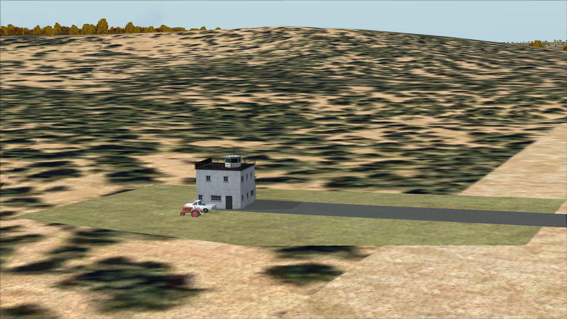
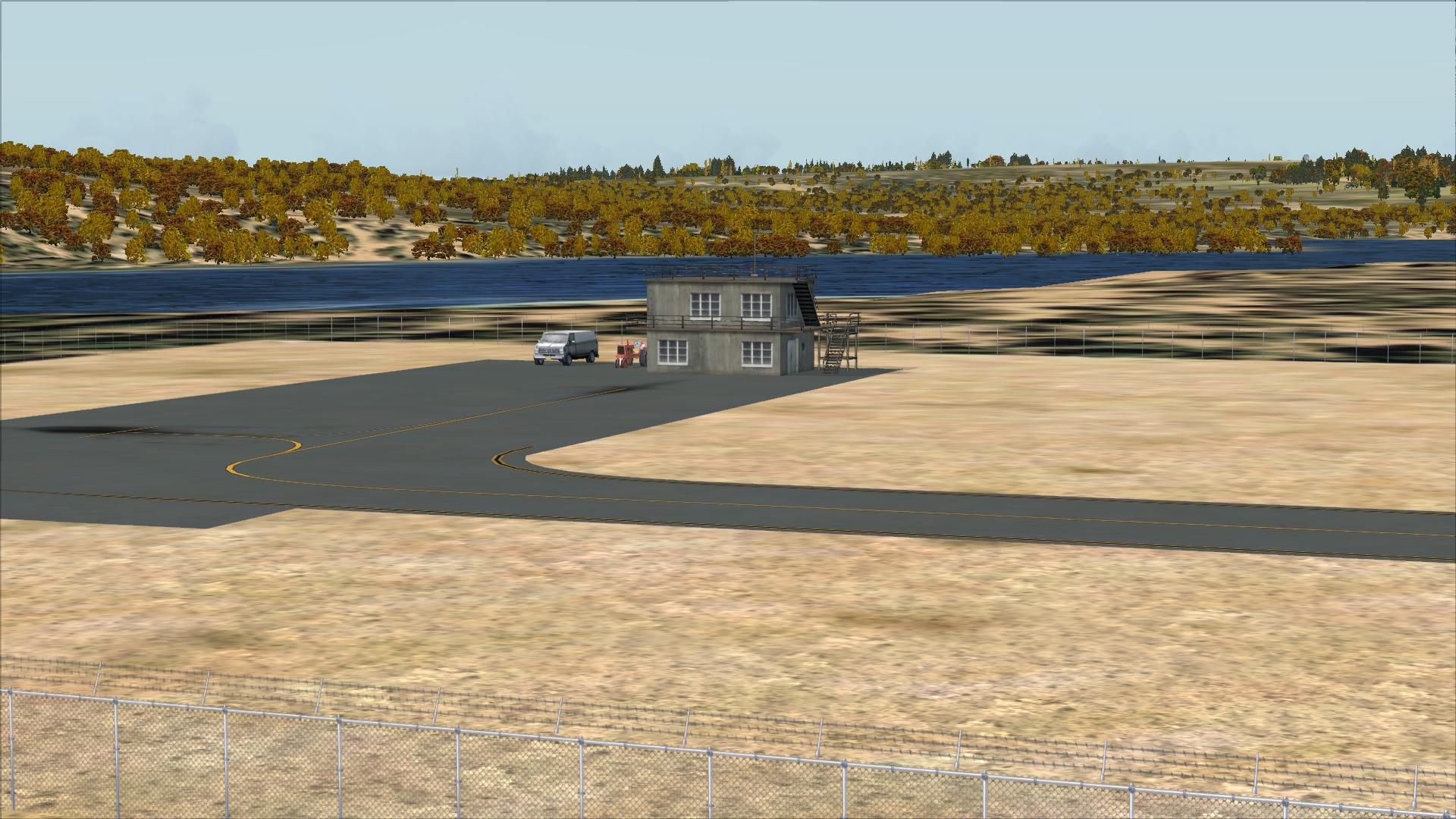
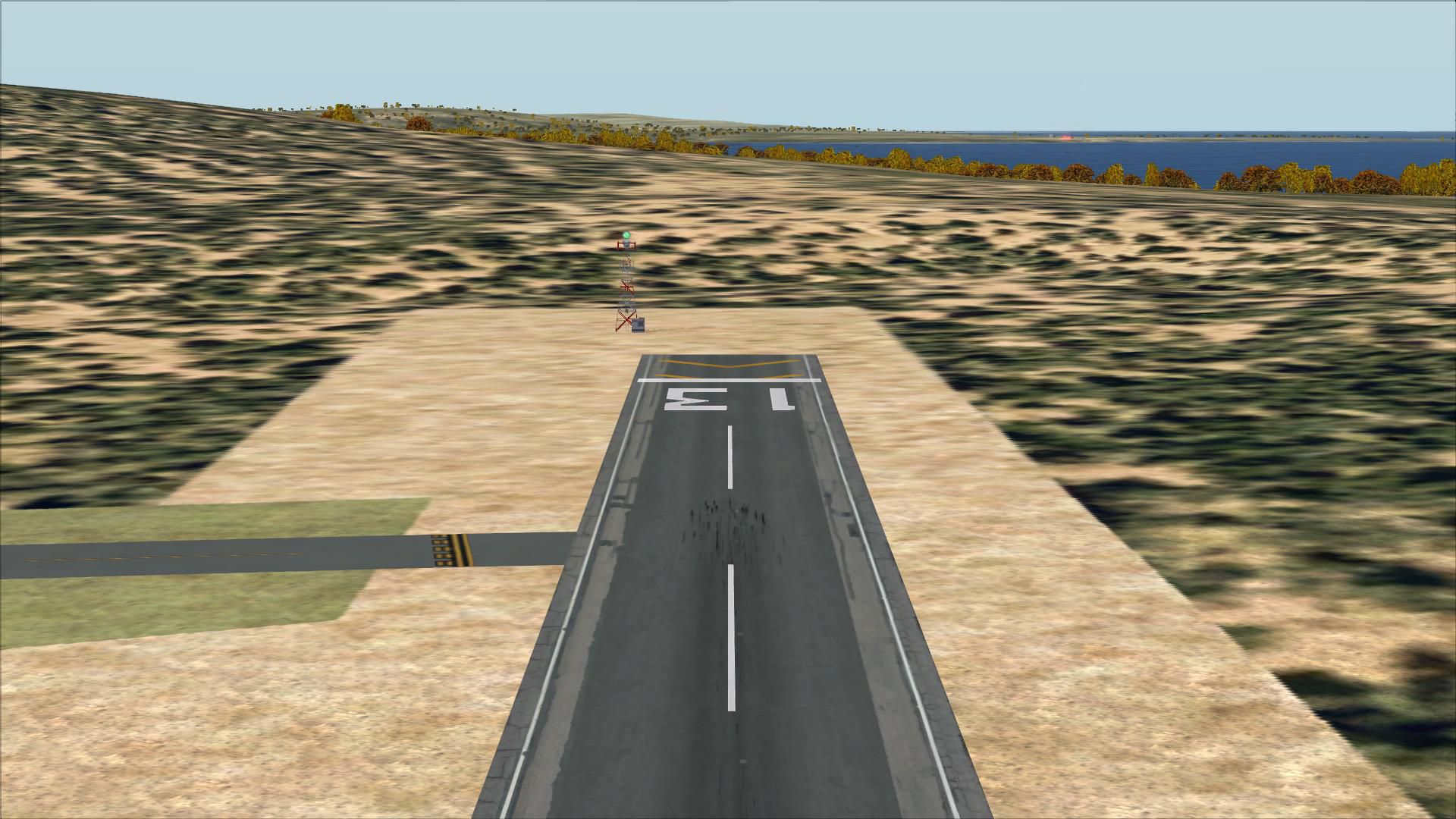
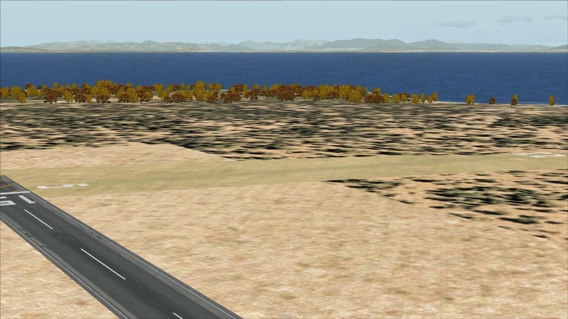
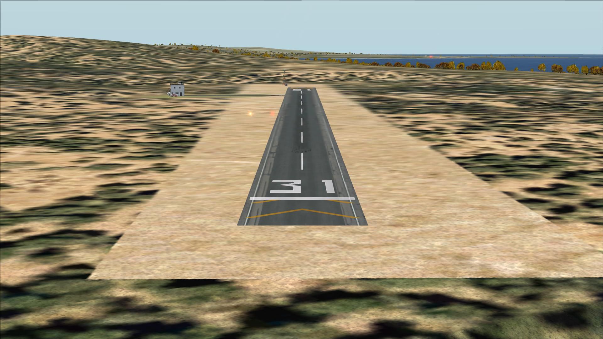
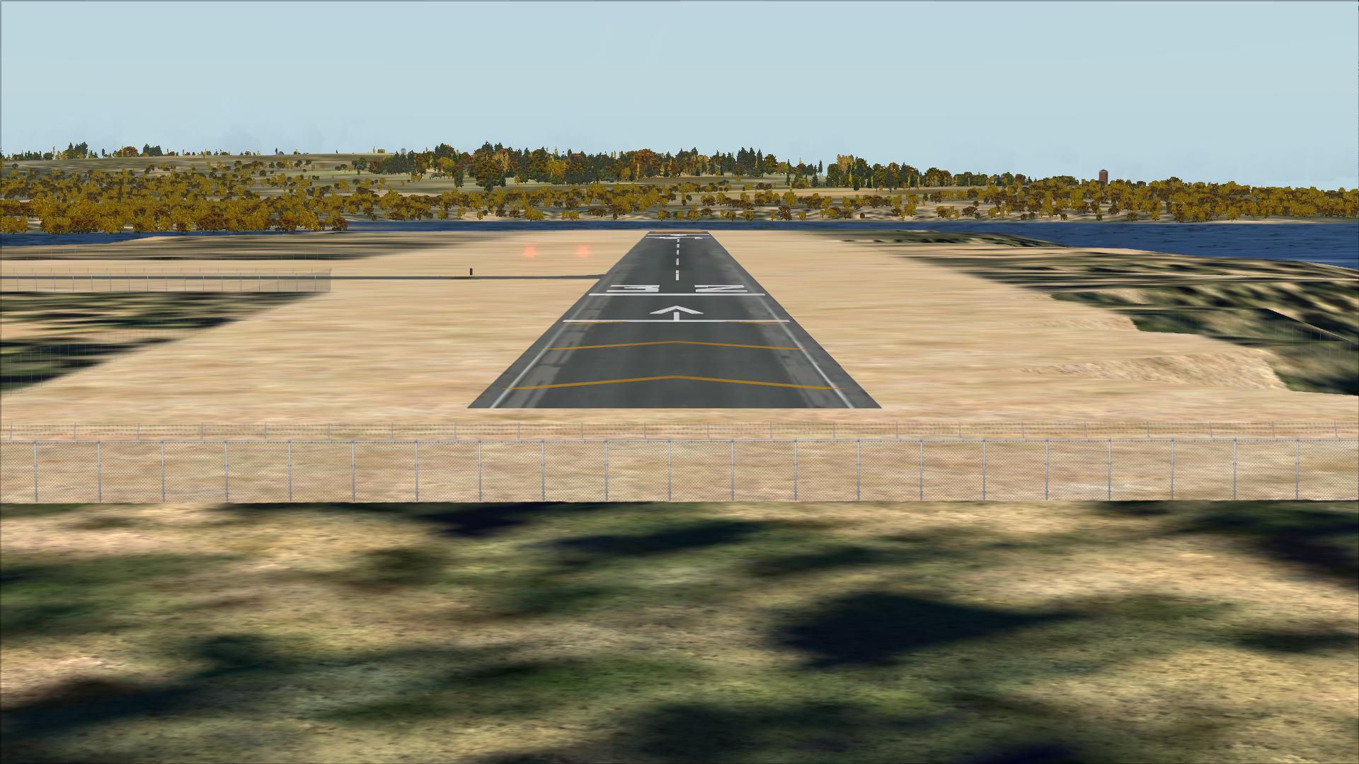
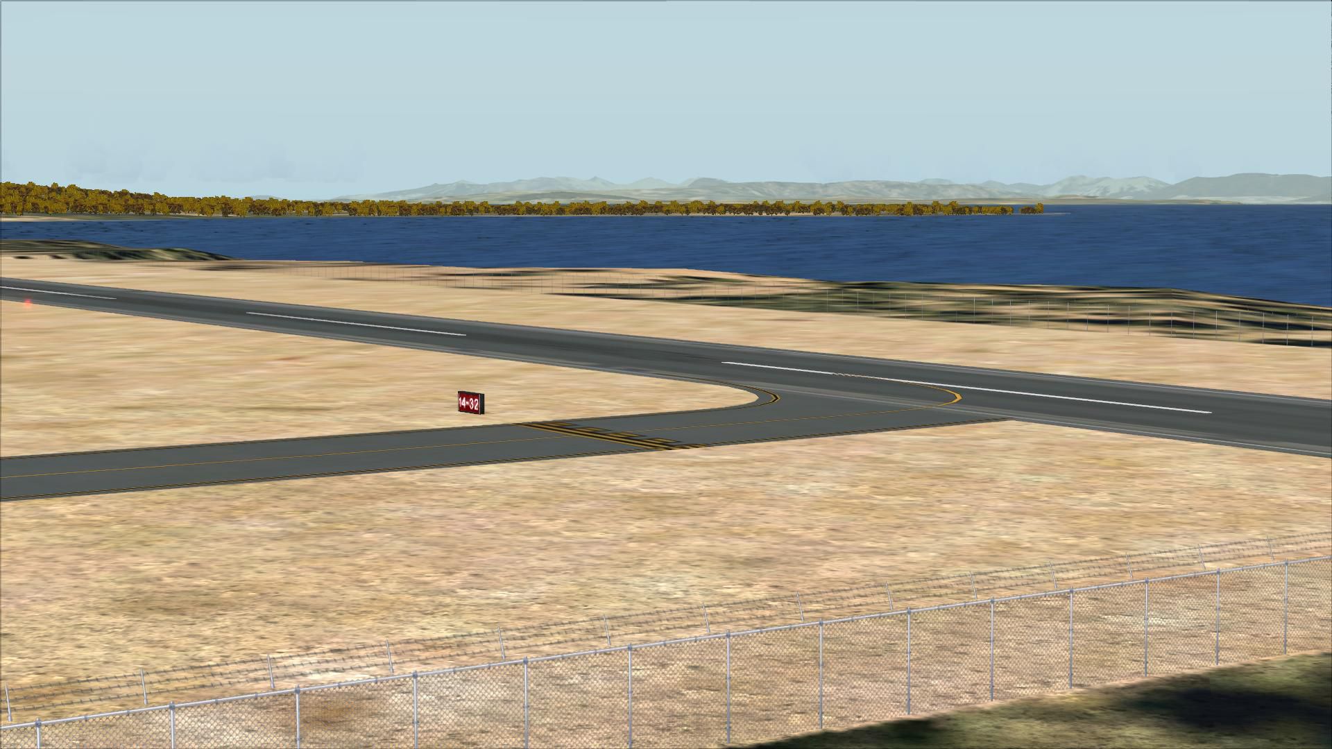
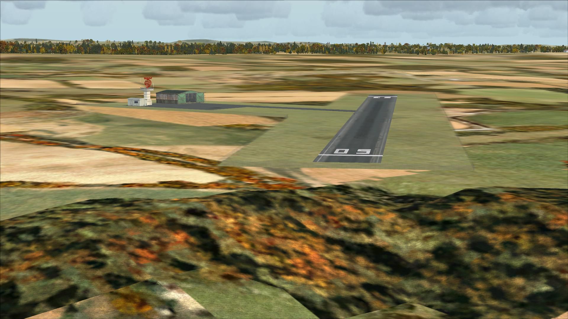
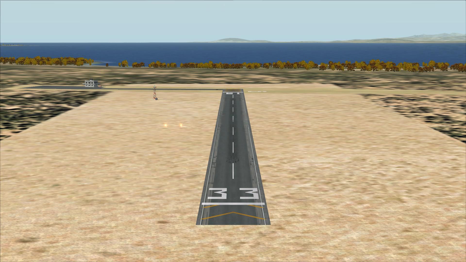
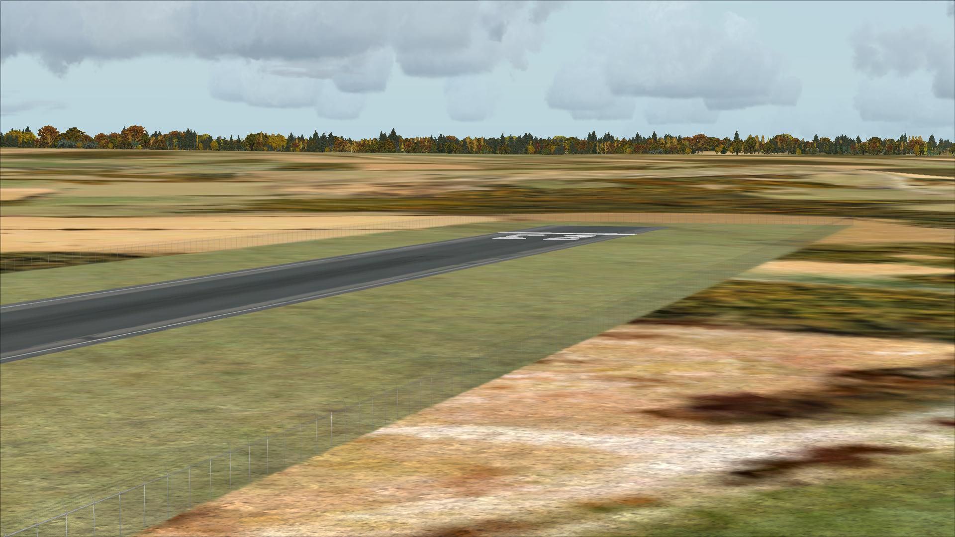
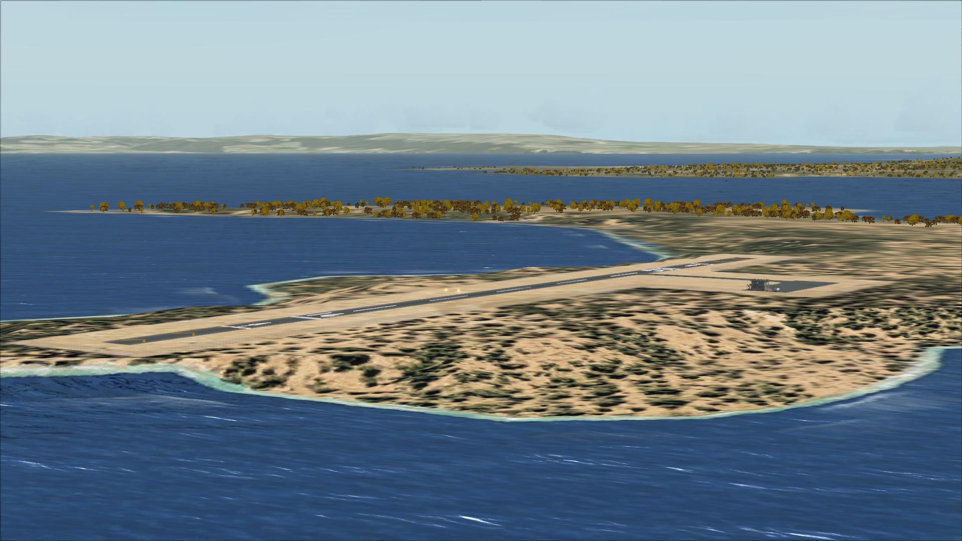
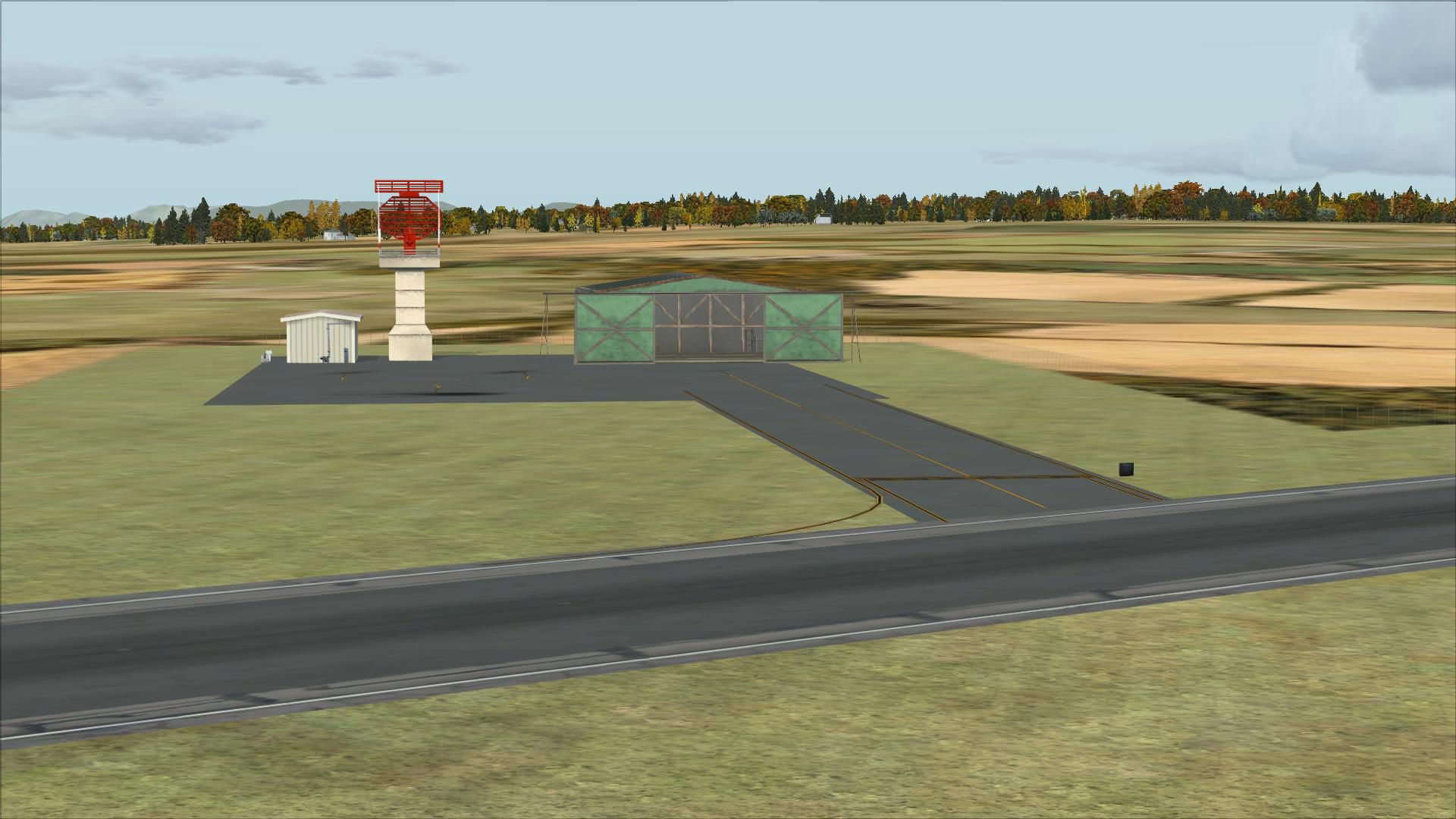
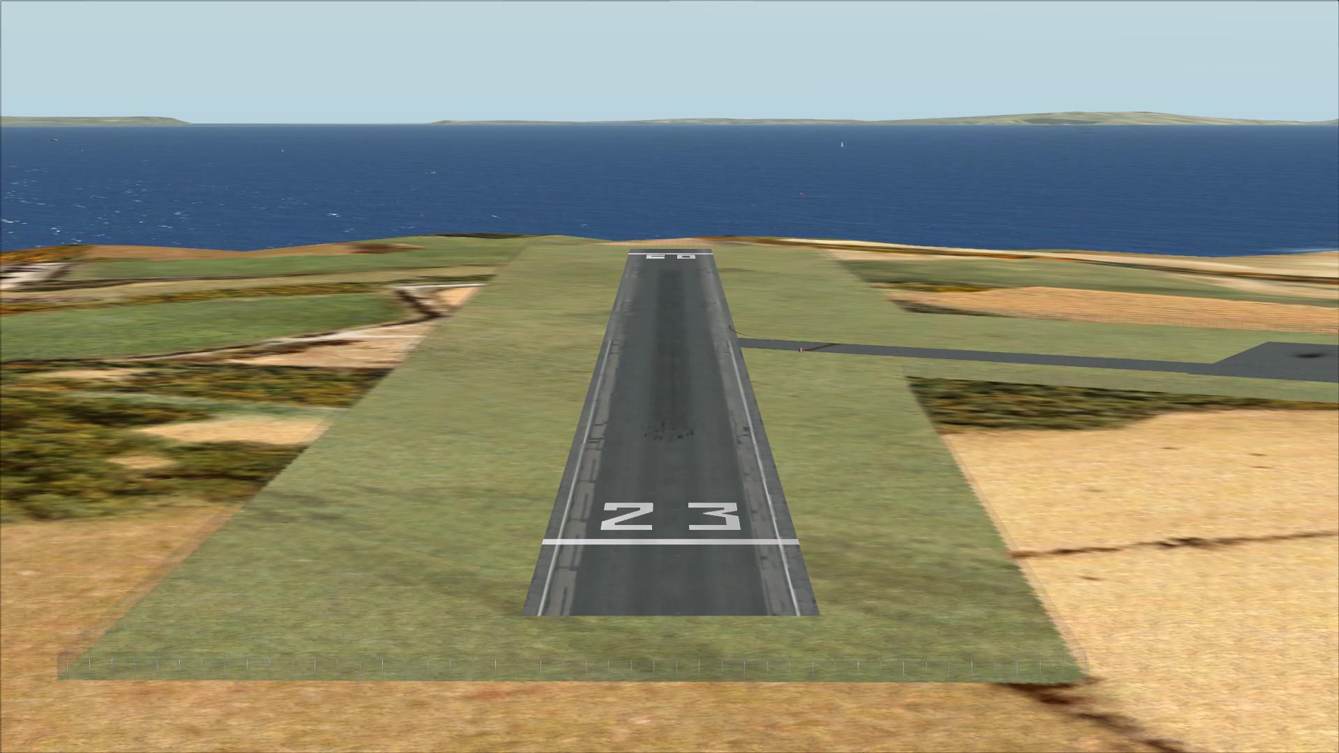
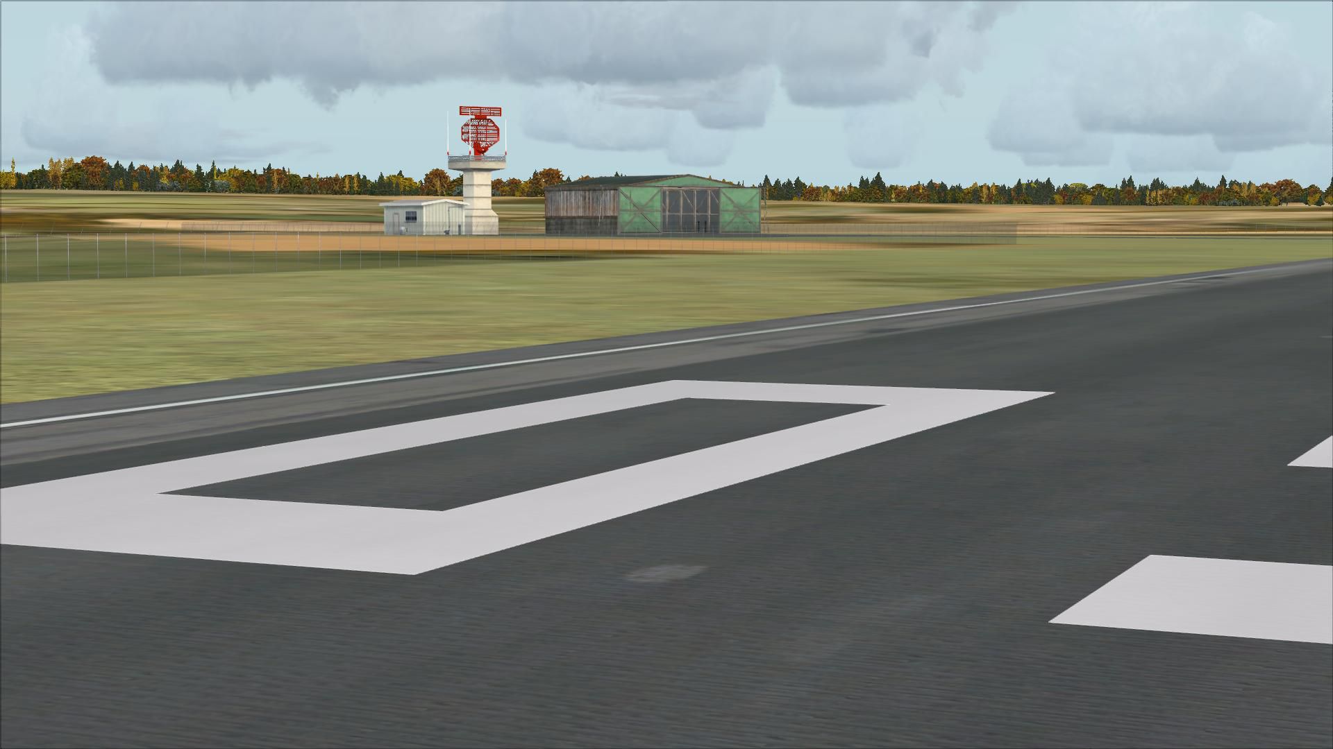
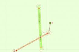
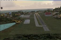
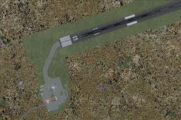
Aran Islands airports and Connemara Regional scenery refresh brings the four fields to life with updated parking, accurate tower frequencies, and custom objects such as tractors, hangars, and small terminals. Included flight plans cover three Aer Arann Islands BN2 routes, built from the default layout for Microsoft Flight Simulator X.

 Ireland
 - File: aranconnemara.zip
- Size:17.96 MB
- Scan:
Clean (21d)

- Access:Freeware
- Content:Everyone
Aran Island Airports and Connemara Regional with flight plans.
 Includes flight plans for the three Aer Arann Islands BN2s, changes to parking in all four airports, tower frequency for all four airports, objects including tractors, hangars, and small terminals.
FSX compatible only. Created using ADEX v01.47.07. Created from default scenery.
INSTALLATION:
Just copy and paste the file into your Microsoft Flight Simulator X\Addon scenery\scenery folder.
This file should not damage your computer, but in the unlikely case that they do, I accept no liability.
These files are freeware.
Images & Screenshots


Finding the Scenery
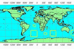
- FSX/Prepar3D Coordinates:
-
53.23030000,-9.46780000
Use the downloaded flight plan file by launching FSX/P3D, selecting "Load Flight Plan" in the flight planner, and choosing the .pln file. Your aircraft will be positioned directly at the add-on’s location. - Decimal Degrees (DD):
-
Latitude: 53.230300°
Longitude: -9.467800° - Degrees, Minutes, Seconds (DMS):
-
Latitude: 53° 13' 49.080" N
Longitude: 9° 28' 04.080" W
Map Location
The archive aranconnemara.zip has 43 files and directories contained within it.
File Contents
This list displays the first 500 files in the package. If the package has more, you will need to download it to view them.
| Filename/Directory | File Date | File Size |
|---|---|---|
| Aircraft_Aran.txt | 11.27.10 | 68 B |
| Airports_Aran.txt | 11.27.10 | 128 B |
| Flightplans_Aran.txt | 11.27.10 | 1.76 kB |
| Connemara1.BMP | 11.27.10 | 3.52 MB |
| EICA.BMP | 11.27.10 | 3.52 MB |
| EICA_ADEX_PAD_CVX.bgl | 11.27.10 | 251 B |
| EICA_ADEX_PAD.BGL | 11.27.10 | 1.78 kB |
| EIIM_ADEX_PAD_CVX.bgl | 11.27.10 | 232 B |
| EIIM_ADEX_PAD.BGL | 11.27.10 | 1.70 kB |
| EIIM.BMP | 11.27.10 | 3.52 MB |
| Inishmore1.BMP | 11.27.10 | 3.52 MB |
| EIMN_ADEX_PAD_CVX.bgl | 11.27.10 | 489 B |
| EIMN_ADEX_PAD.BGL | 11.27.10 | 1.91 kB |
| Readme.txt | 11.27.10 | 1.06 kB |
| EIIR_ADEX_PAD.BGL | 11.27.10 | 1.62 kB |
| EIIR_ADEX_PAD_CVX.bgl | 11.27.10 | 355 B |
| FILE_ID.DIZ.txt | 11.27.10 | 350 B |
| Inishmaan1.BMP | 11.27.10 | 3.52 MB |
| EIMN.BMP | 11.27.10 | 3.52 MB |
| Inisheer1.BMP | 11.27.10 | 3.52 MB |
| flyawaysimulation.txt | 10.29.13 | 959 B |
| Go to Fly Away Simulation.url | 01.22.16 | 52 B |
| Screenshots | 09.13.19 | 0 B |
| screen-1.jpg | 09.10.19 | 189.46 kB |
| screen-10.jpg | 09.10.19 | 258.26 kB |
| screen-11.jpg | 09.10.19 | 221.12 kB |
| screen-12.jpg | 09.10.19 | 414.50 kB |
| screen-13.jpg | 09.10.19 | 545.95 kB |
| screen-14.jpg | 09.10.19 | 240.85 kB |
| screen-15.jpg | 09.10.19 | 271.57 kB |
| screen-16.jpg | 09.10.19 | 268.16 kB |
| screen-17.jpg | 09.10.19 | 267.68 kB |
| screen-18.jpg | 09.10.19 | 269.28 kB |
| screen-19.jpg | 09.10.19 | 304.50 kB |
| screen-2.jpg | 09.10.19 | 254.10 kB |
| screen-20.jpg | 09.10.19 | 248.12 kB |
| screen-3.jpg | 09.10.19 | 160.03 kB |
| screen-4.jpg | 09.10.19 | 209.07 kB |
| screen-5.jpg | 09.10.19 | 227.34 kB |
| screen-6.jpg | 09.10.19 | 323.60 kB |
| screen-7.jpg | 09.10.19 | 179.96 kB |
| screen-8.jpg | 09.10.19 | 260.67 kB |
| screen-9.jpg | 09.10.19 | 300.87 kB |
Installation Instructions
Most of the freeware add-on aircraft and scenery packages in our file library come with easy installation instructions which you can read above in the file description. For further installation help, please see our Flight School for our full range of tutorials or view the README file contained within the download. If in doubt, you may also ask a question or view existing answers in our dedicated Q&A forum.


0 comments
Leave a Response