 FSX Scenery
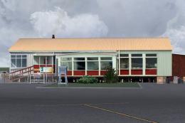
Chatham Islands New Zealand
Chatham Islands New Zealand. This is a basic photoreal upgrade to default NZC…
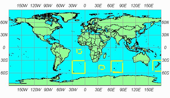
SRTM 3 Version 2 terrain mesh brings New Zealand and its surrounding islands to life in FSX with sharper elevation data, improved ridgelines, and more convincing coast-to-mountain transitions for VFR and IFR flying alike. It delivers full regional coverage as part of the worldwide SRTM 3 v2 freeware mesh project.
Free for all simmers · 15.43 MB · Scanned clean Jul 2026
Download speed: Free tier is capped at 0.5 Mbps (this file takes approximately 4 mins at the cap). PRO members download at full line speed.
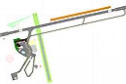
FSX\Addon Scenery\ containing scenery and texture sub-folders.readme.txt or README file. It tells you exactly where files go, what dependencies are needed, and any quirks specific to this add-on.Use these coordinates to fly directly to this location once the mod is installed.
-41.28650000,174.77620000
Launch FSX or Prepar3D and use Flights → Load to open the downloaded .pln file. Your aircraft will be positioned at this location.
The archive srt2isls.zip has 5 files and directories contained within it.
This list displays the first 500 files in the package. If the package has more, you will need to download it to view them.
| Filename/Directory | File Date | File Size |
|---|---|---|
| ilands.bgl | 11.18.06 | 16.47 MB |
| coverage.gif | 12.13.06 | 12.96 kB |
| README.txt | 12.13.06 | 587 B |
| flyawaysimulation.txt | 10.29.13 | 959 B |
| Go to Fly Away Simulation.url | 01.22.16 | 52 B |
Only PRO members can place votes.
More FSX & P3D add-ons hand-picked based on this download.
FSX Scenery
Chatham Islands New Zealand. This is a basic photoreal upgrade to default NZC…
 FSX Scenery
New Zealand Terrain Mesh. These files have had extensive work done on them to…
 FSX Scenery
Scenery Queenstown, New Zealand. Improvements to base FSX version. ILS added,…
FSX Scenery
Landclass Scenery For New Zealand. Best used in spring, summer and fall. This…
 FSX Scenery
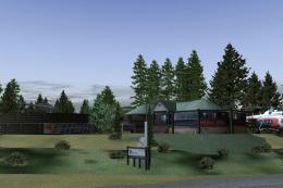
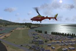
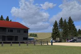
Taupo Extras New Zealand. Includes photoreal Hukafalls / Helistar helibase / …
 FSX Scenery
Raglan New Zealand. This is a basic photoreal upgrade to default NZRA Raglan …
 FSX Scenery
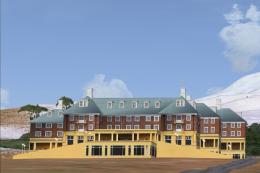
Chateau New Zealand. Package contains custom photoreal 3D buildings for New Z…
 FSX Scenery
Te Kuiti New Zealand. This is a basic photoreal upgrade to default NZTT Te Ku…
Be the first to leave a comment on this download.
Be the first to share your thoughts on this download.