
FSX Regina Airpors Scenery
Regina Airpors (SOOR) brings the remote riverside airstrip at Regina, French Guiana to life with a detailed layout and atmosphere that suits dawn departures and bush flying. Built using only default objects for smooth performance, the scenery integrates cleanly into FSX and highlights the Approuague valley setting.

 French Guiana
 - File: soor.zip
- Size:575.51 KB
- Scan:
Clean (15d)

- Access:Freeware
- Content:Everyone
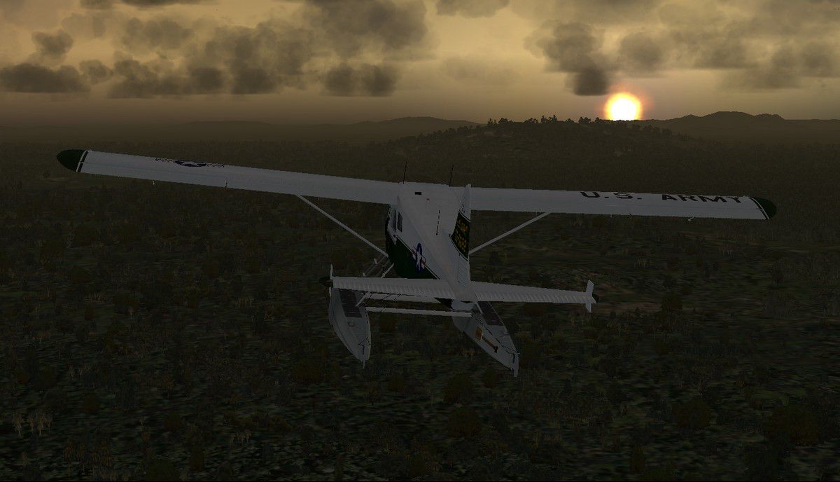
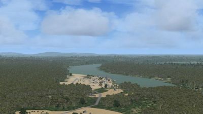
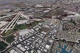
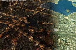
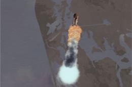
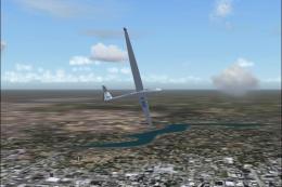
Regina Airpors (SOOR), French Guiana. Regina is a little French village in French Guiana on the river Approuague, and located 63 km north west of the city of Oiapoque. This vital airfield deserve the 12,130 square km and the 839 inhabitants of the place. Try a take-off on the early hours of the morning, this is really magnificent and give an idea of FSX possibilities. By Dominique M. L. Donzelot.
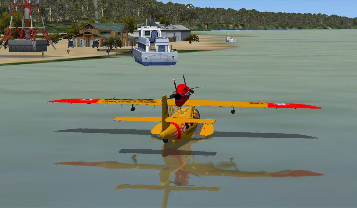
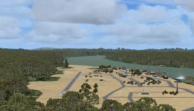
Screenshot of Regina Airpors Scenery.
N 4° 19' 0'', W 52° 7' 60''.
Thanks to the authors of FSX planner and SbuilderX for those superbes development tools. Using only existing elements of FSX, this should not hit too much your FPS.
Thanks, a lot, to Bruno "BLB" and "Arnaud520" from the France Aviation Virtuelle for helping with the testing of the scenery.
Its under my copyright, and should be only freely distributed and in any case never be part of a commercial package.
There is nothing there which could possibly damage your computer or your FS, so I am not taking any responsibility in any possible incident on your machines.
- Unzip the files and folders under your add-on scenery directory
- Declare the scenery
That's it.
Unfortunatly, as far as I know, this scenery is not compatible with previous versions of FS.
Enjoy flying in that amazing area !
Dominique M.L. Donzelot
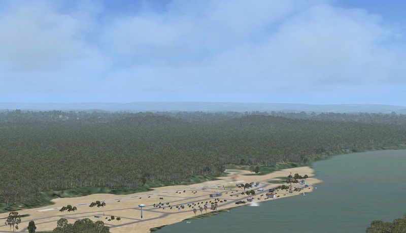
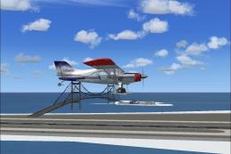
Screenshot of Regina Airpors Scenery.
Images & Screenshots


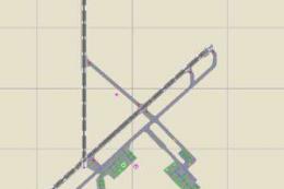
Finding the Scenery
- FSX/Prepar3D Coordinates:
-
4.31667000,-52.13333000
Use the downloaded flight plan file by launching FSX/P3D, selecting "Load Flight Plan" in the flight planner, and choosing the .pln file. Your aircraft will be positioned directly at the add-on’s location. - Decimal Degrees (DD):
-
Latitude: 4.316670°
Longitude: -52.133330° - Degrees, Minutes, Seconds (DMS):
-
Latitude: 4° 19' 00.012" N
Longitude: 52° 07' 59.988" W
Map Location
The archive soor.zip has 17 files and directories contained within it.
File Contents
This list displays the first 500 files in the package. If the package has more, you will need to download it to view them.
| Filename/Directory | File Date | File Size |
|---|---|---|
| scenery | 01.06.11 | 0 B |
| CVX_SOOR flatten.BGL | 01.06.11 | 812 B |
| CVX_SOOR.BGL | 01.11.11 | 8.57 kB |
| LC_3430.bgl | 01.06.11 | 326 B |
| Regina SOOR.bgl | 01.07.11 | 634 B |
| SOOR_LOBX.BGL | 01.11.11 | 7.21 kB |
| SOOR_OBX.BGL | 01.11.11 | 5.53 kB |
| Texture | 01.05.11 | 0 B |
| read_me lisez_moi.txt | 01.11.11 | 3.58 kB |
| soor 1.jpg | 01.11.11 | 60.50 kB |
| soor 2.jpg | 01.11.11 | 71.21 kB |
| soor 3.jpg | 01.11.11 | 86.18 kB |
| soor 4.jpg | 01.11.11 | 92.22 kB |
| Amaz.jpg | 01.11.11 | 119.08 kB |
| Amaz2.jpg | 01.11.11 | 136.35 kB |
| flyawaysimulation.txt | 10.29.13 | 959 B |
| Go to Fly Away Simulation.url | 01.22.16 | 52 B |
Installation Instructions
Most of the freeware add-on aircraft and scenery packages in our file library come with easy installation instructions which you can read above in the file description. For further installation help, please see our Flight School for our full range of tutorials or view the README file contained within the download. If in doubt, you may also ask a question or view existing answers in our dedicated Q&A forum.


0 comments
Leave a Response