FSX Tenerife North - Los Rodeos GCXO Scenery
Tenerife North–Los Rodeos (GCXO) scenery update refines the Sim-Giants airport in FSX with a new platform, added Taxiway E1, updated control tower viewpoints, and realistic airline-coded parking assignments. Built with Airport Facilitator X v1.08, it refreshes ground layout and airport operations for more accurate taxiing and gate use.


 Spain
Spain - File: chafes_gcxo_sg_fsx.zip
- Size:6.27 MB
- Scan:
Clean (11d)

- Access:Freeware
- Content:Everyone
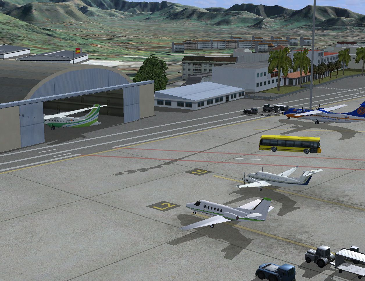
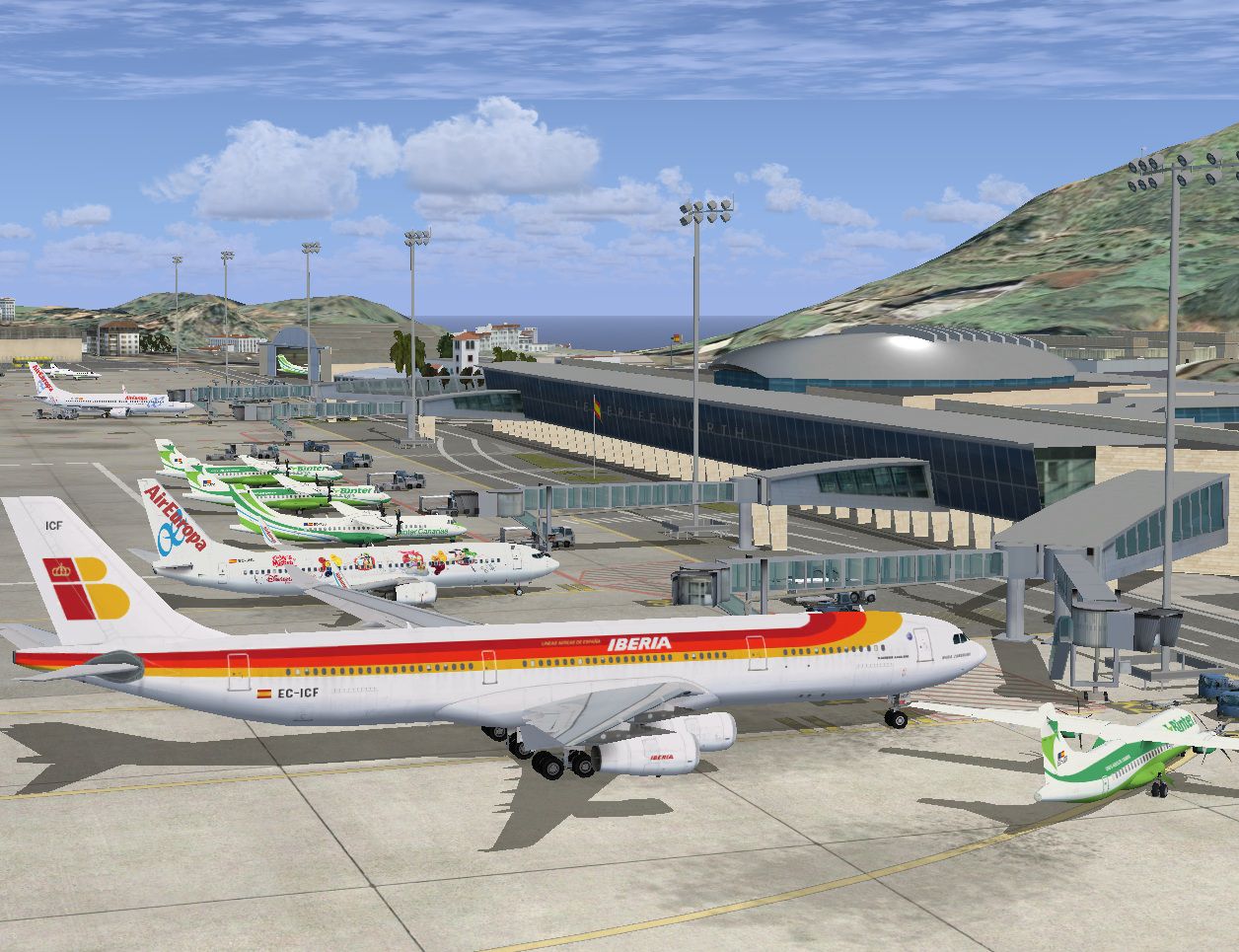
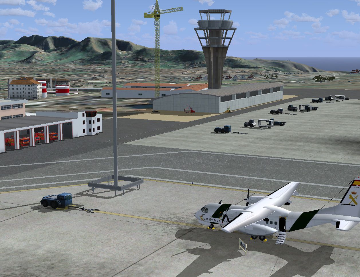
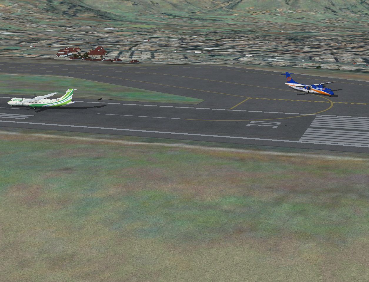
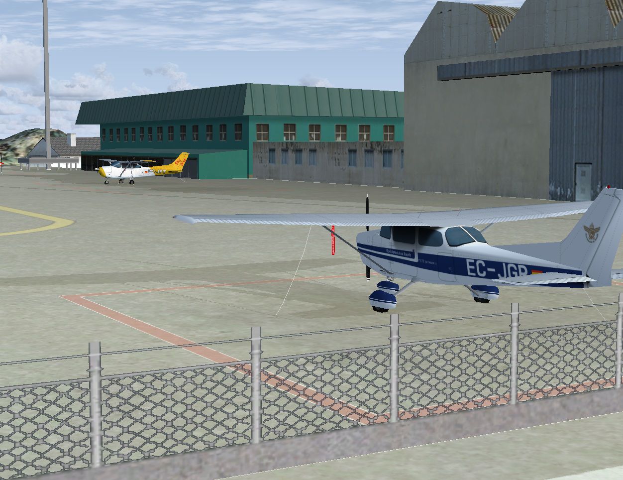
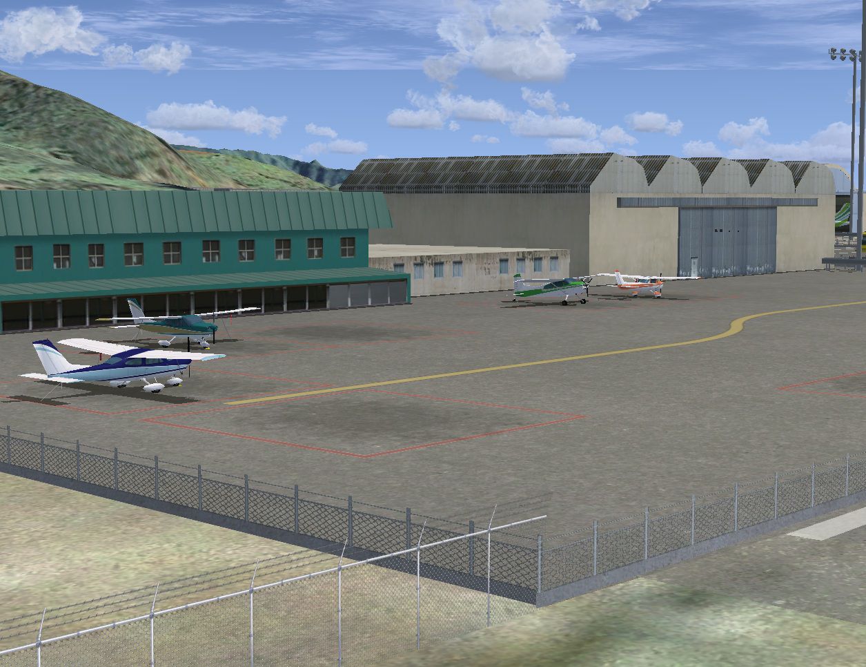
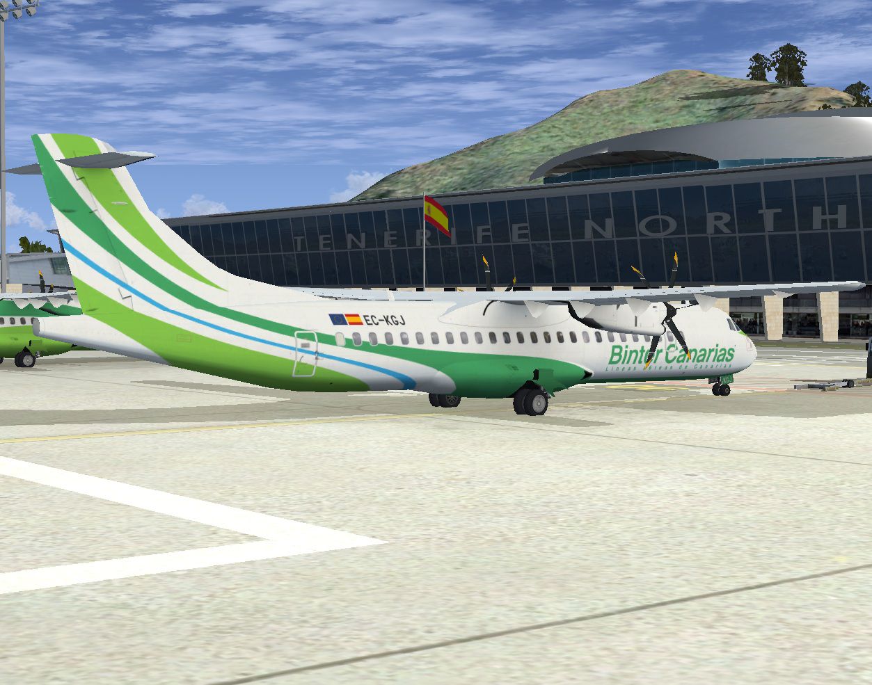
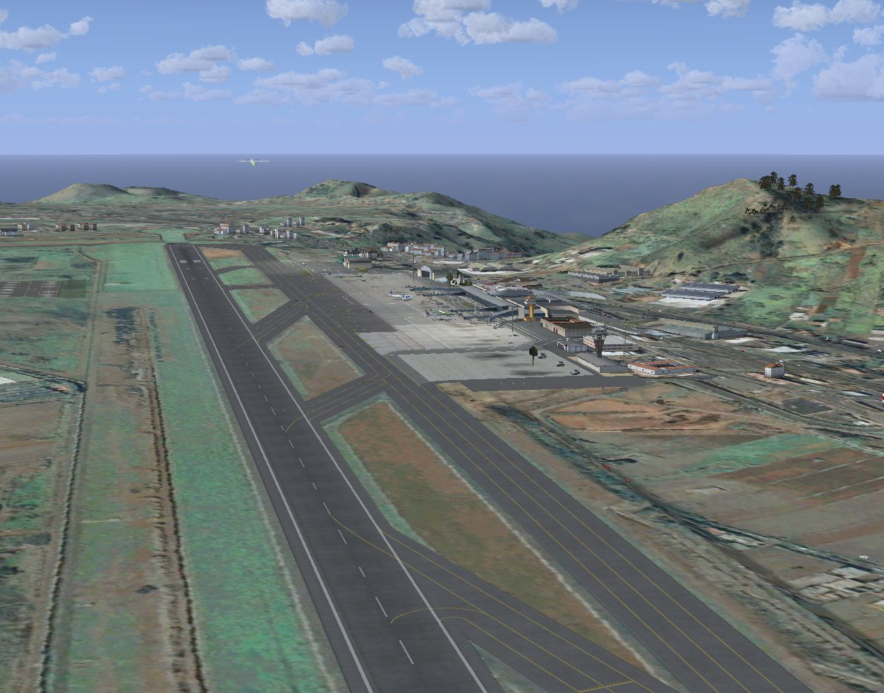
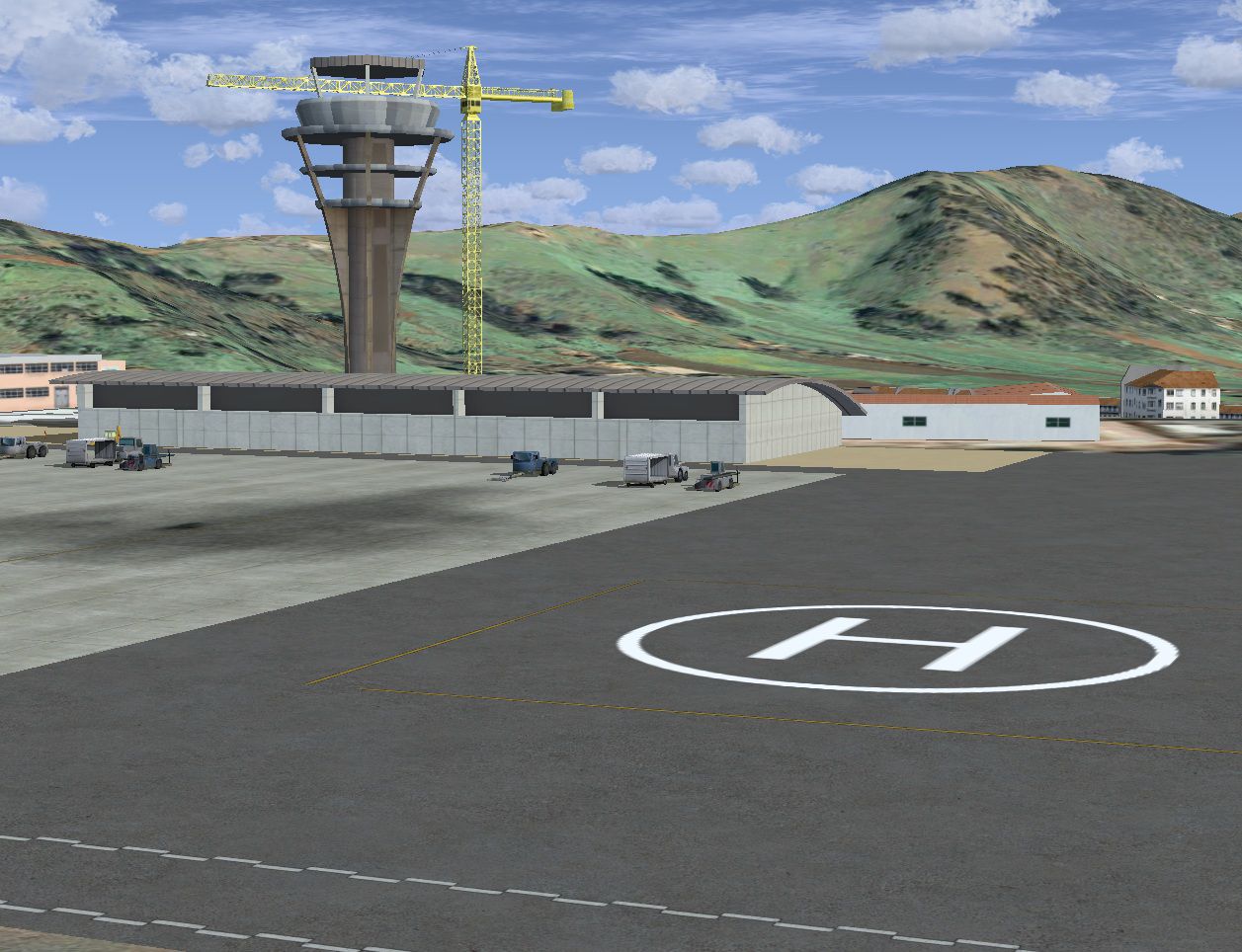
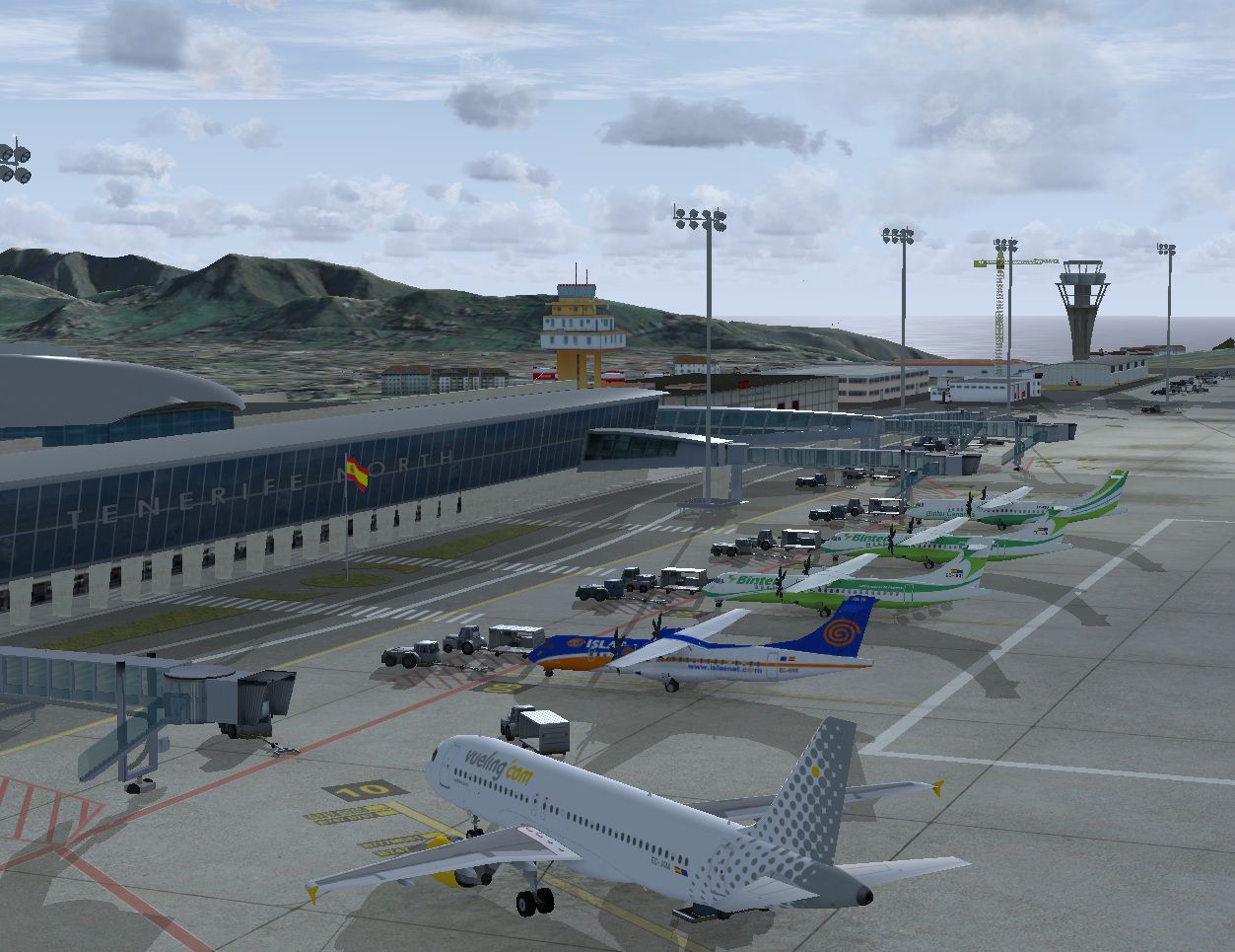
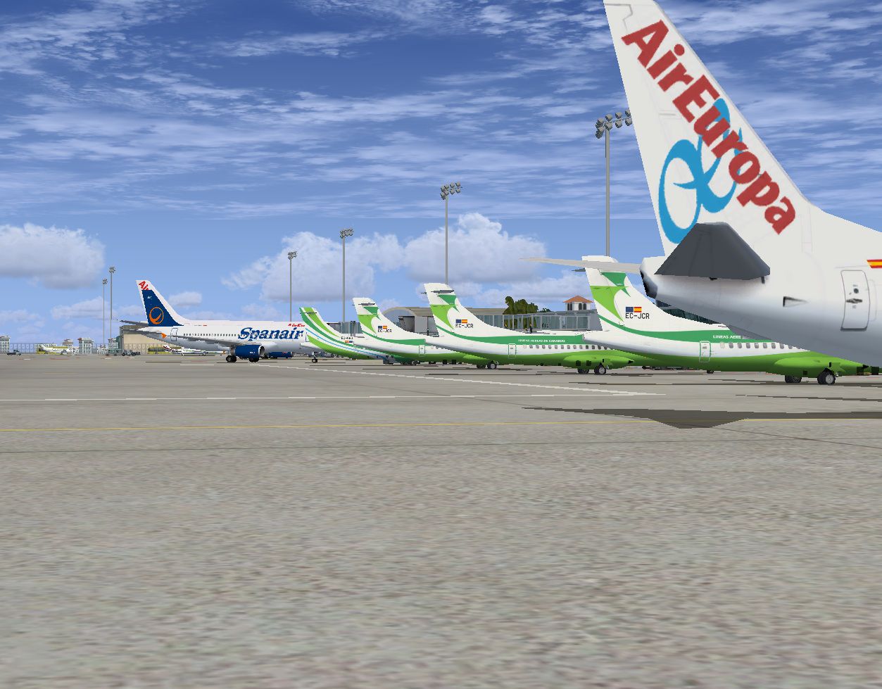
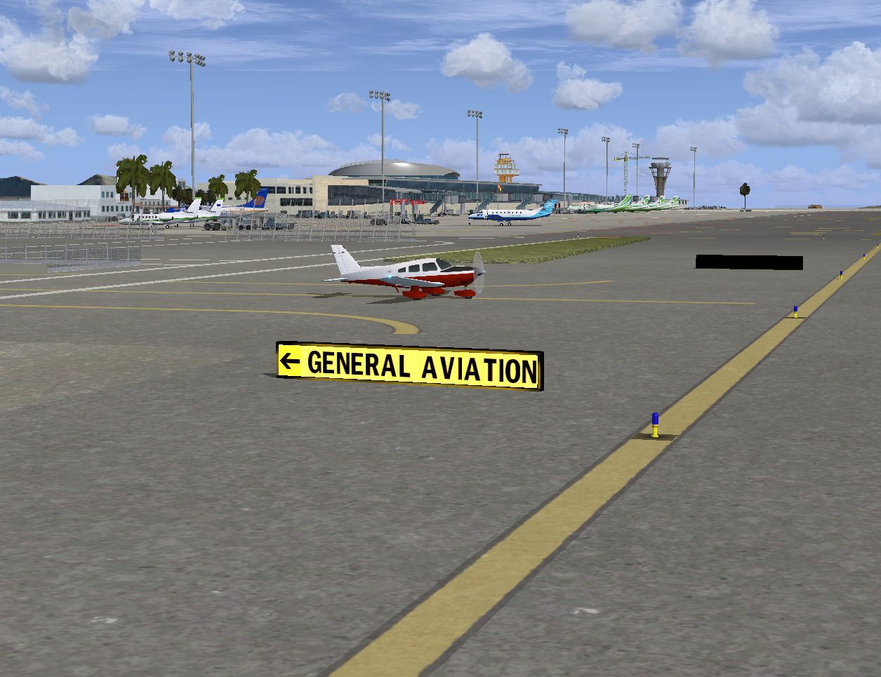
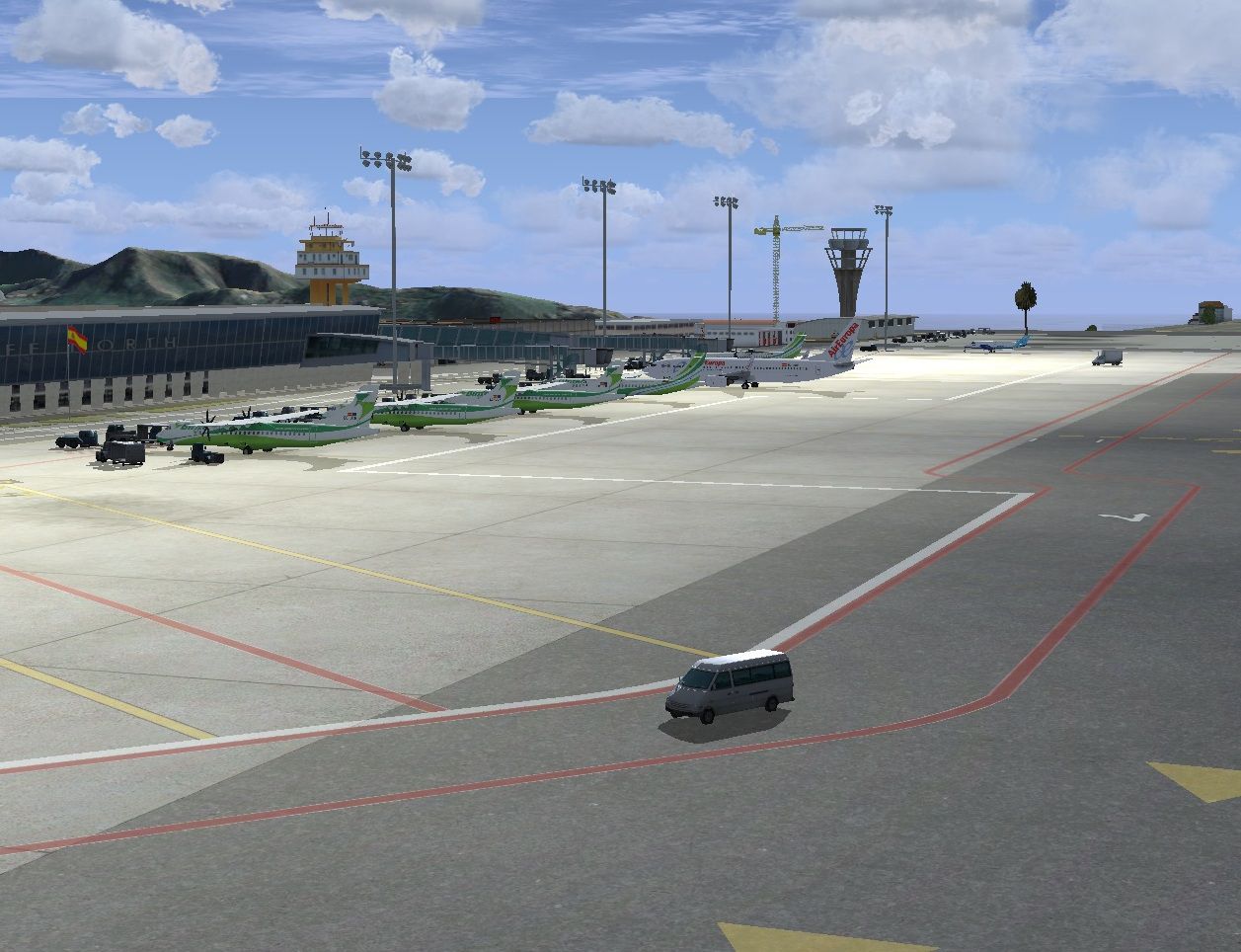
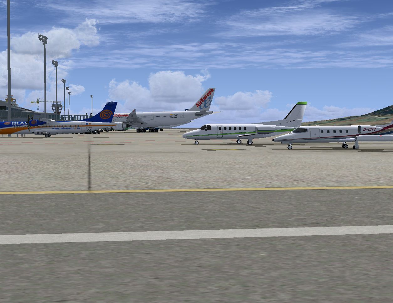
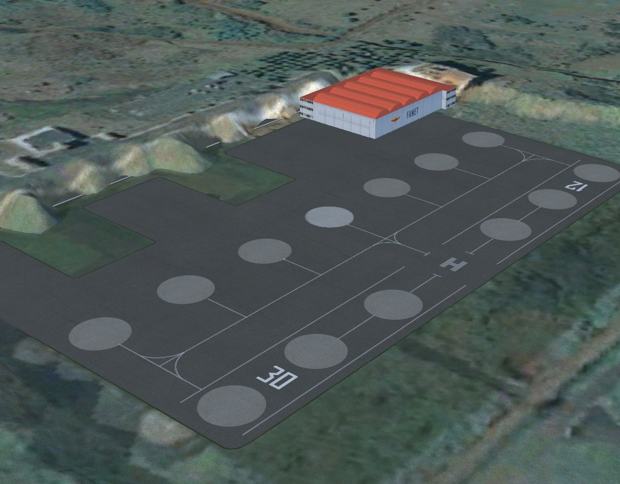
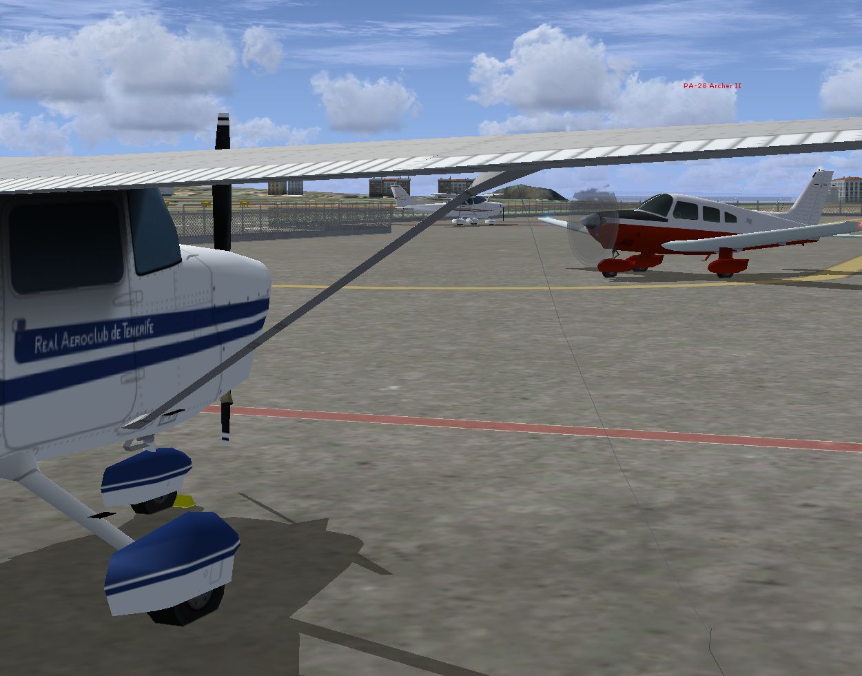
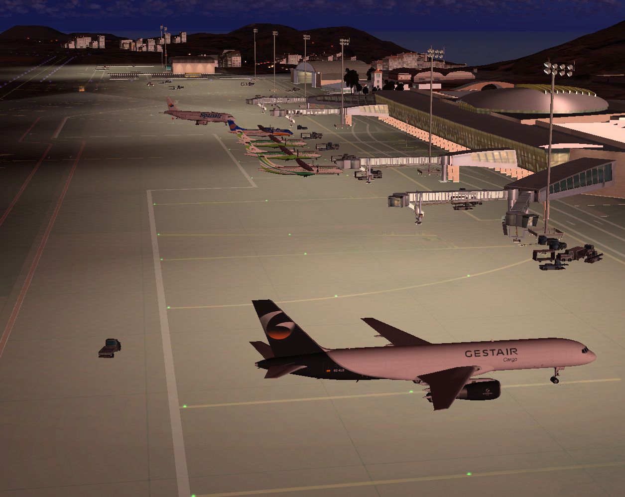
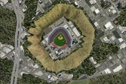
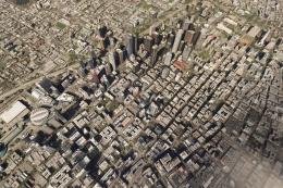
Tenerife North - Los Rodeos GCXO. This update has been designed with the version 1.08 of Airport Facilitator X only for the Sim-Giants airport and FSX. This includes the new platform, new taxiway E1, view from the new control tower, parking airlines with assigned codes as currently used, and many more improvements. By Javier Chafes.
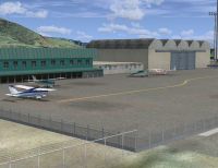
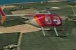
Screenshot of Los Rodeos GCXO Scenery.
INSTALLATION:
1. Extract the SGXO001.BGL
2. Copying the folder where you installed the airport. Usually: Program Files / Microsoft Games / Microsoft Flight Simulator X / Sim-Giants / Tenerife North GCXO / Tenerife North GCXO / Scenery.
3. Replace the file extension SGXO041.BGL and SGXO026.BGL by SGXO026.off and SGXO041.off.
SUGGESTION:
We recommend that you backup the original file.
NOTE:
This file is free to be modified by anyone whenever they share with all who enjoy this hobby. Thanks.
Happy flight.
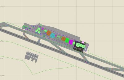
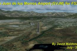
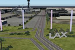
Overview of Los Rodeos GCXO Scenery.
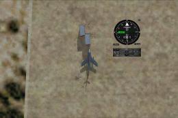
Images & Screenshots


Finding the Scenery
- FSX/Prepar3D Coordinates:
-
28.48270000,-16.34150000
Use the downloaded flight plan file by launching FSX/P3D, selecting "Load Flight Plan" in the flight planner, and choosing the .pln file. Your aircraft will be positioned directly at the add-on’s location. - Decimal Degrees (DD):
-
Latitude: 28.482700°
Longitude: -16.341500° - Degrees, Minutes, Seconds (DMS):
-
Latitude: 28° 28' 57.720" N
Longitude: 16° 20' 29.400" W
Map Location
The archive chafes_gcxo_sg_fsx.zip has 26 files and directories contained within it.
File Contents
This list displays the first 500 files in the package. If the package has more, you will need to download it to view them.
| Filename/Directory | File Date | File Size |
|---|---|---|
| LeeMe.txt | 09.18.11 | 1.10 kB |
| ReadMe.txt | 09.18.11 | 969 B |
| ScreenShots | 09.18.11 | 0 B |
| GCXO1.jpg | 09.18.11 | 155.74 kB |
| GCXO10.jpg | 09.18.11 | 369.24 kB |
| GCXO11.jpg | 09.18.11 | 255.39 kB |
| GCXO12.jpg | 09.18.11 | 315.38 kB |
| GCXO13.jpg | 09.18.11 | 360.83 kB |
| GCXO14.jpg | 09.18.11 | 338.89 kB |
| GCXO15.jpg | 09.18.11 | 405.21 kB |
| GCXO16.jpg | 09.18.11 | 347.10 kB |
| GCXO17.jpg | 09.18.11 | 402.01 kB |
| GCXO18.jpg | 09.18.11 | 342.79 kB |
| GCXO19.jpg | 09.18.11 | 455.97 kB |
| GCXO2.jpg | 09.18.11 | 264.15 kB |
| GCXO3.jpg | 09.18.11 | 305.55 kB |
| GCXO4.jpg | 09.18.11 | 324.19 kB |
| GCXO5.jpg | 09.18.11 | 345.22 kB |
| GCXO6.jpg | 09.18.11 | 446.83 kB |
| GCXO7.jpg | 09.18.11 | 414.08 kB |
| GCXO8.jpg | 09.18.11 | 307.62 kB |
| GCXO9.jpg | 09.18.11 | 276.08 kB |
| SGXO001.BGL | 09.18.11 | 37.04 kB |
| GCXO1.png | 09.18.11 | 12.01 kB |
| flyawaysimulation.txt | 10.29.13 | 959 B |
| Go to Fly Away Simulation.url | 01.22.16 | 52 B |
Installation Instructions
Most of the freeware add-on aircraft and scenery packages in our file library come with easy installation instructions which you can read above in the file description. For further installation help, please see our Flight School for our full range of tutorials or view the README file contained within the download. If in doubt, you may also ask a question or view existing answers in our dedicated Q&A forum.


0 comments
Leave a Response