FSX Shahid Hasheminejad Scenery
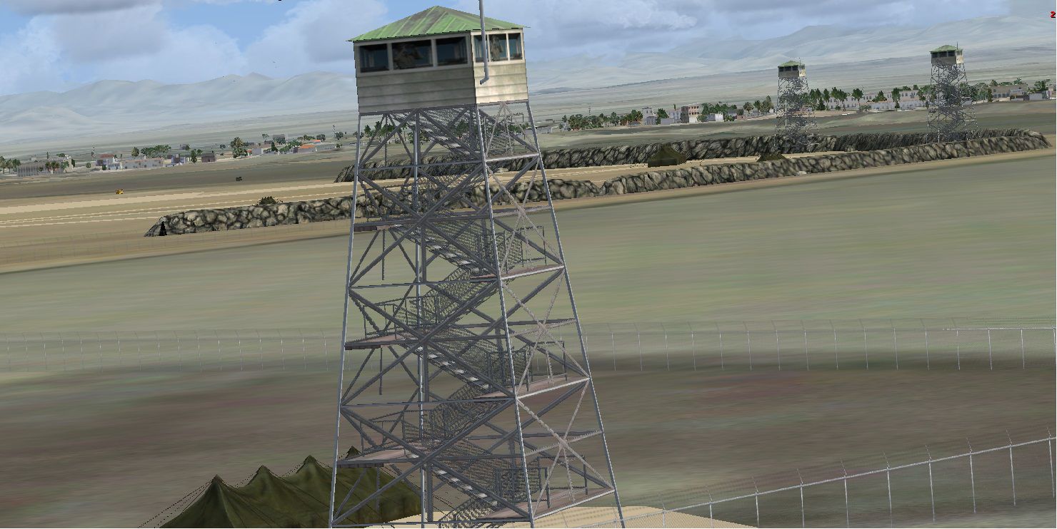
Shahid Hasheminejad International Airport (OIMM) scenery refreshes the field in Iran with updated parking, gates, hangars, and taxiways, plus added military units and corrected real-world latitude and longitude for more accurate positioning. Working fuel tankers enhance ramp activity and day-to-day operations in Microsoft Flight Simulator X.
 Iran (Islamic Republic of)
 - File: oimm_iran-mashhad.zip
- Size:1.91 MB
- Scan:
Clean (23d)

- Access:Freeware
- Content:Everyone
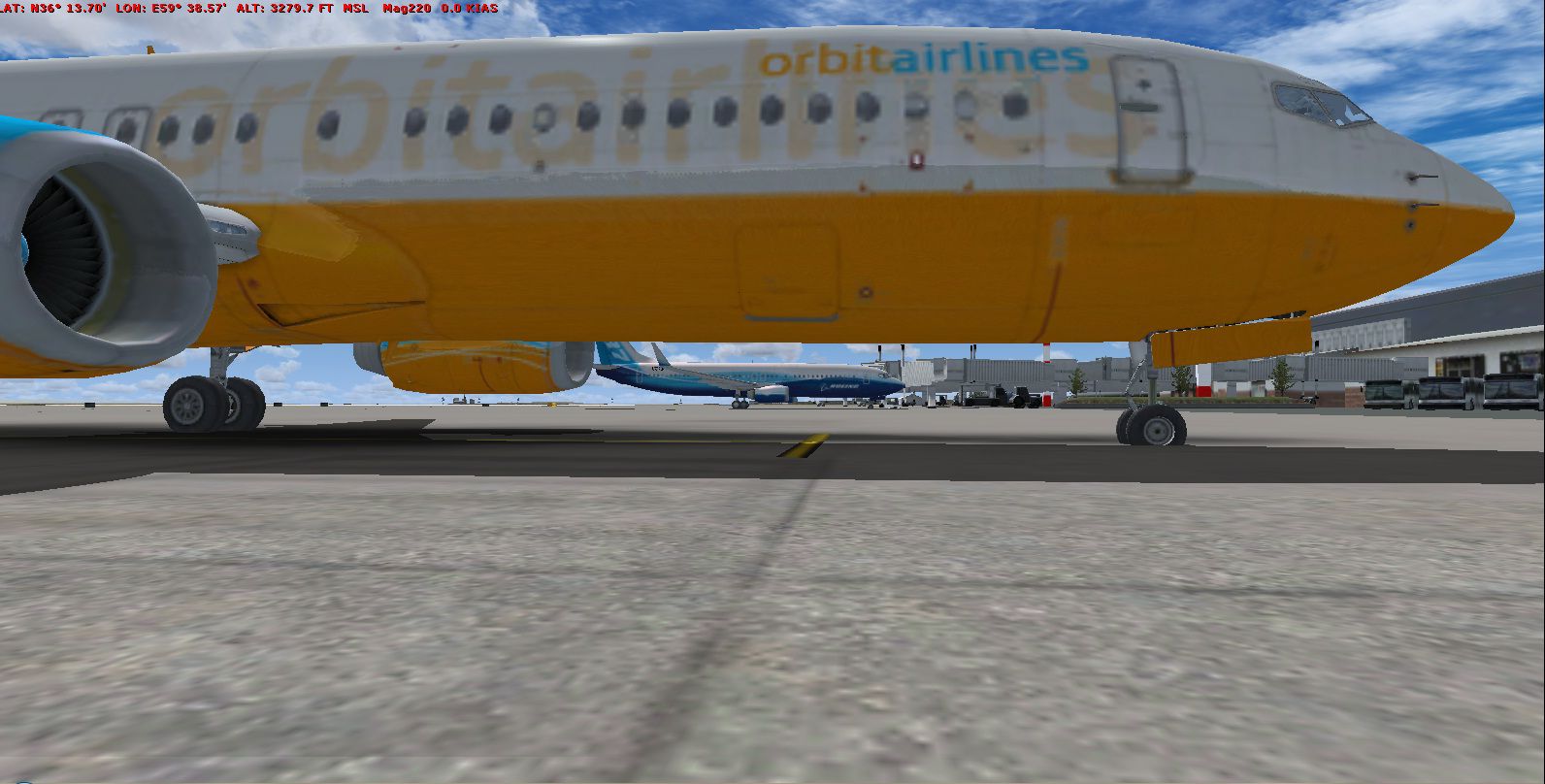
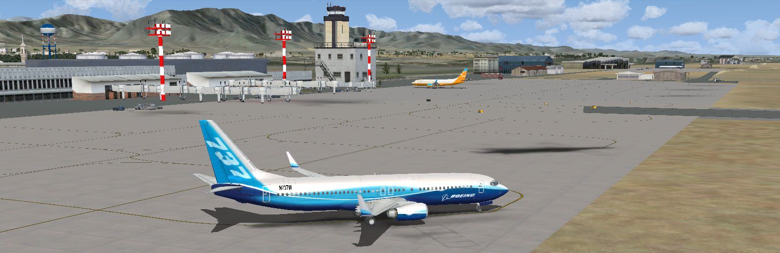
Shahid Hasheminejad (OIMM), Iran, v1. Features: parking, gates, hangars, taxiways have been changed; military units added; lat and long changed to real world; fuel tankers are working. By Usof Kalantari.
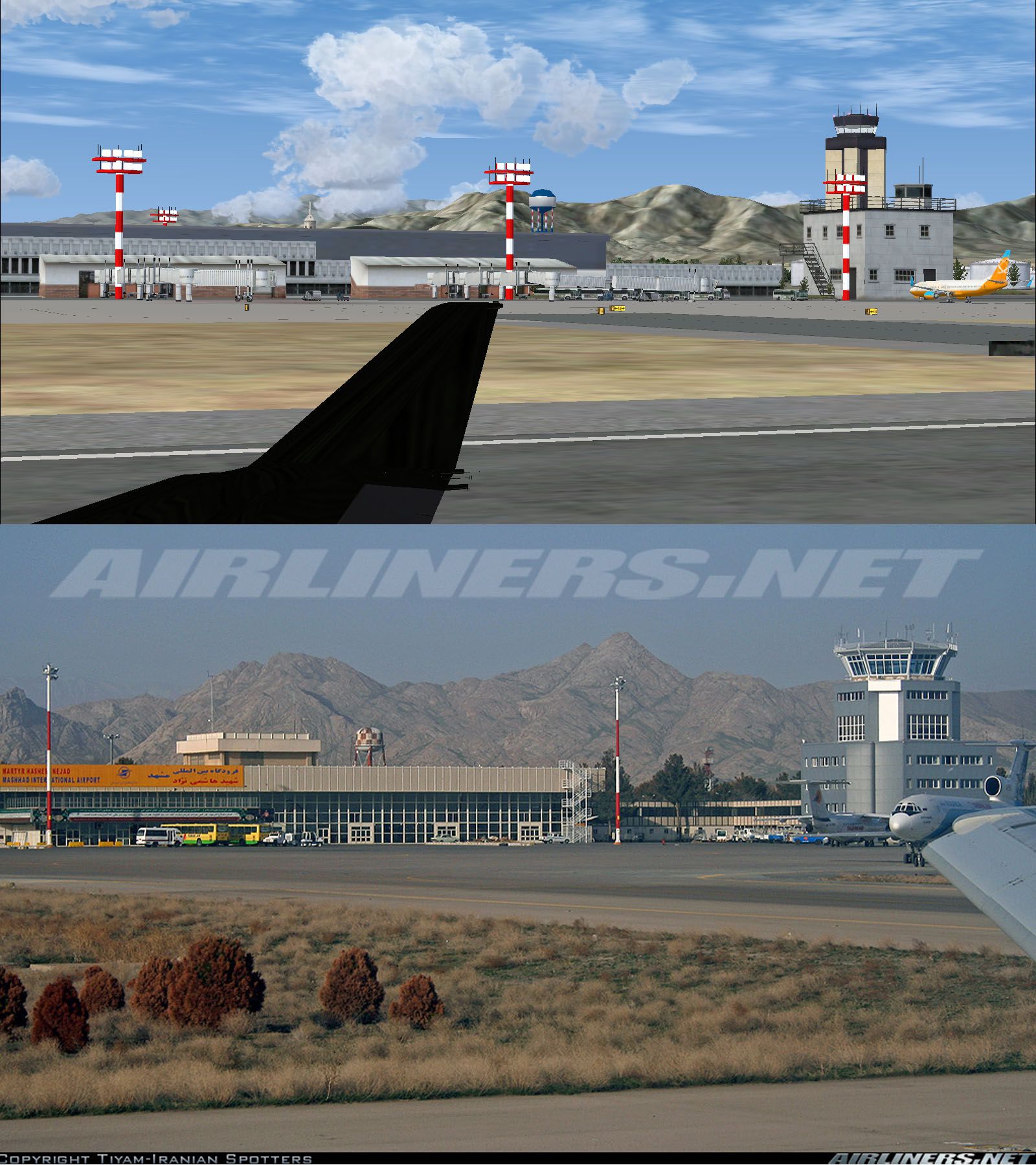
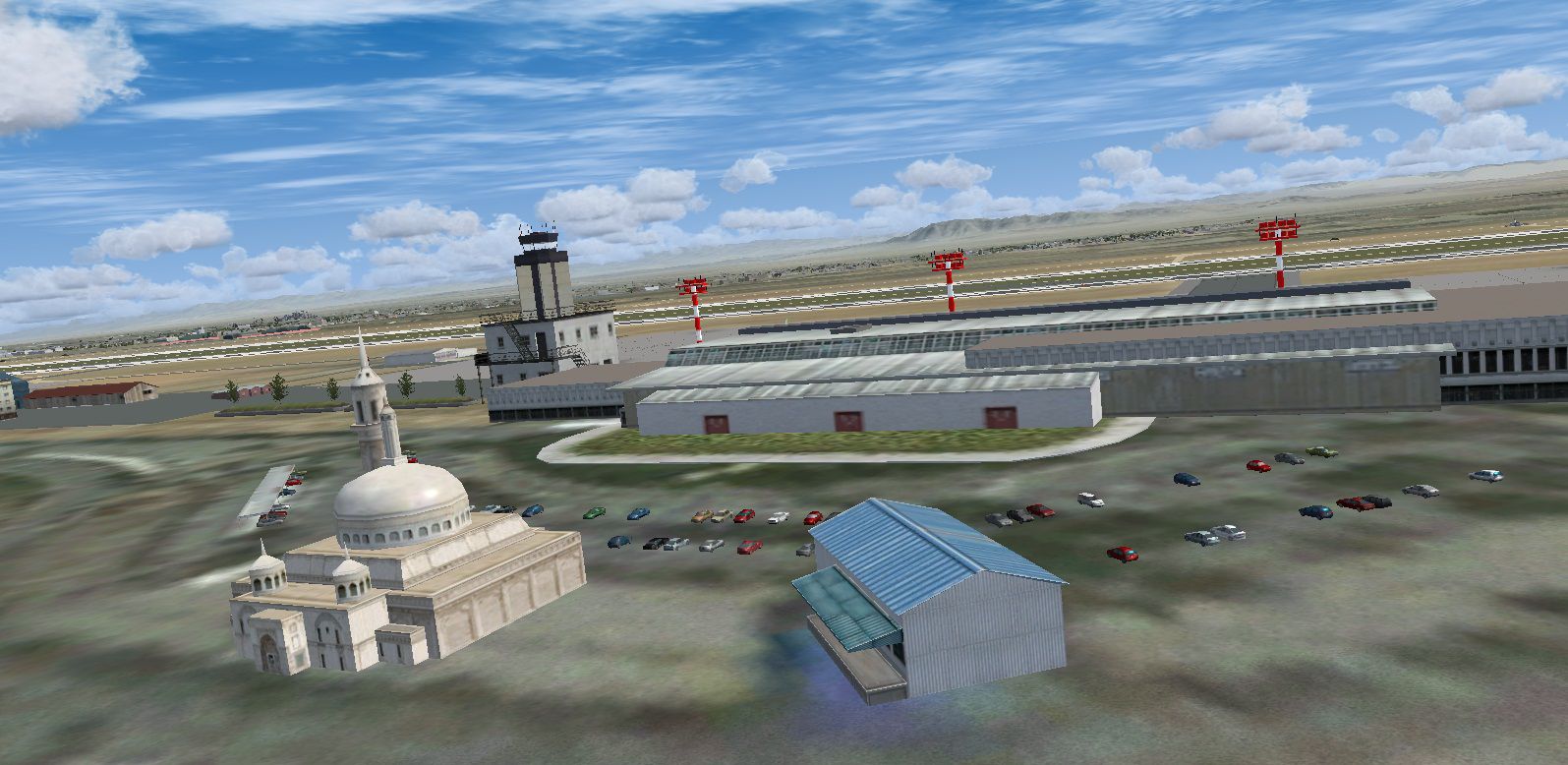
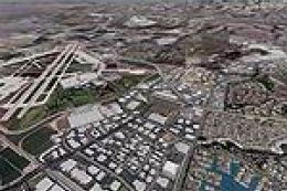
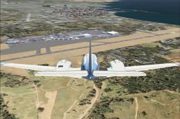
Screenshot of Shahid Hasheminejad Scenery.
Copy two BGL files to "...\Microsoft Games\Microsoft Flight Simulator X\Addon Scenery\scenery". You'll have OIMM near to real.

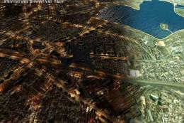
Screenshot of Shahid Hasheminejad Scenery.
Images & Screenshots


Finding the Scenery
- FSX/Prepar3D Coordinates:
-
36.23429500,59.64096500
Use the downloaded flight plan file by launching FSX/P3D, selecting "Load Flight Plan" in the flight planner, and choosing the .pln file. Your aircraft will be positioned directly at the add-on’s location. - Decimal Degrees (DD):
-
Latitude: 36.234295°
Longitude: 59.640965° - Degrees, Minutes, Seconds (DMS):
-
Latitude: 36° 14' 03.462" N
Longitude: 59° 38' 27.474" E
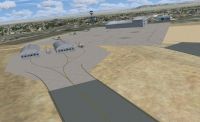
Map Location
The archive oimm_iran-mashhad.zip has 12 files and directories contained within it.
File Contents
This list displays the first 500 files in the package. If the package has more, you will need to download it to view them.
| Filename/Directory | File Date | File Size |
|---|---|---|
| Difference.jpg | 02.20.12 | 448.89 kB |
| FILE_ID.DIZ | 02.20.12 | 246 B |
| Gate.jpg | 02.20.12 | 280.61 kB |
| Install.txt | 02.20.12 | 127 B |
| Mil.jpg | 02.20.12 | 281.84 kB |
| MilTower.jpg | 02.20.12 | 325.43 kB |
| OIMM.BGL | 02.18.12 | 10.15 kB |
| OIMM_AFX.bgl | 02.20.12 | 102.10 kB |
| Out.jpg | 02.20.12 | 361.93 kB |
| Ramp.jpg | 02.20.12 | 234.43 kB |
| flyawaysimulation.txt | 10.29.13 | 959 B |
| Go to Fly Away Simulation.url | 01.22.16 | 52 B |
Installation Instructions
Most of the freeware add-on aircraft and scenery packages in our file library come with easy installation instructions which you can read above in the file description. For further installation help, please see our Flight School for our full range of tutorials or view the README file contained within the download. If in doubt, you may also ask a question or view existing answers in our dedicated Q&A forum.


0 comments
Leave a Response