FSX Kish Island Scenery
Kish Island Airport (OIBK) scenery brings Iran’s Persian Gulf hub closer to real-world layout in FSX with upgraded aerial photo ground textures, improved approach lighting, and refined taxiway lighting for convincing night operations. Version 2 also resolves the disappearing taxiway issue, supporting smoother taxiing and reliable runway access.


 Iran (Islamic Republic of)
 - File: oibk_iran-kishisland_v2.zip
- Size:32.44 MB
- Scan:
Clean (17d)

- Access:Freeware
- Content:Everyone
Kish Island (OIBK), Iran, v2. Taxiway disappearing bug has been resolved. Photo upgraded. Approach light and taxiway lights developed. By Usof Kalantari.
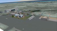
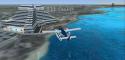
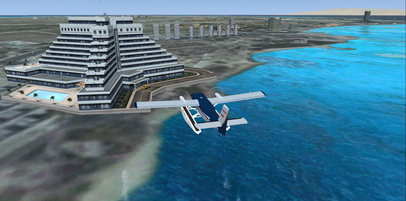
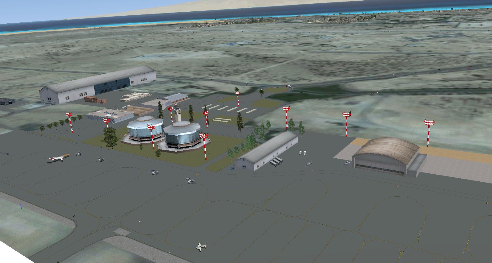
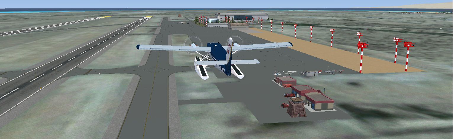
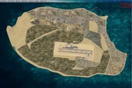
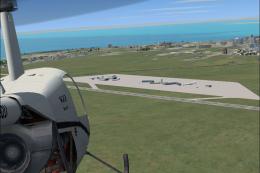
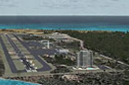
Screenshot of Kish Island Scenery.
Copy "Scenery" folder to "...\Microsoft Games\Microsoft Flight Simulator X\Addon Scenery". You'll have OIBK near to real.
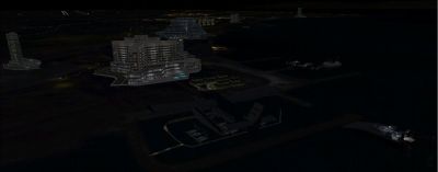
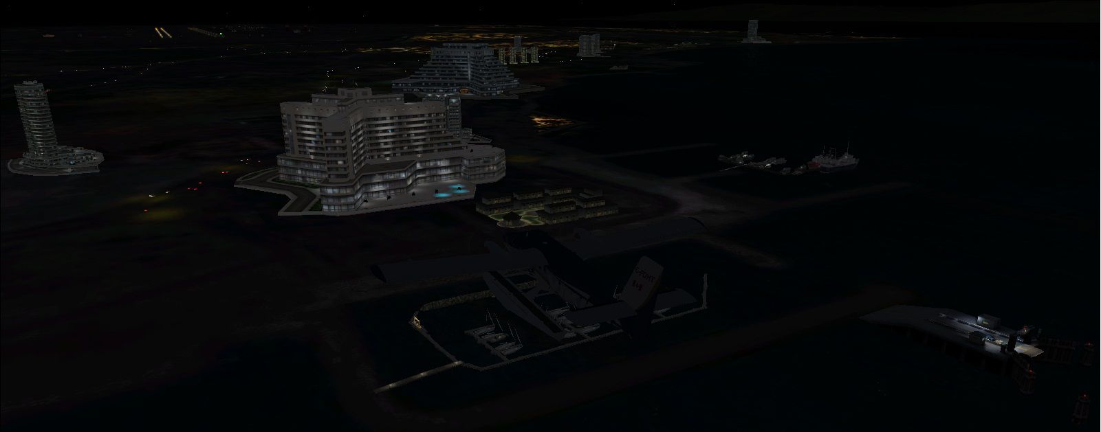
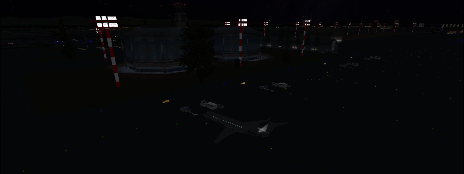
Screenshot of Kish Island Scenery at night.
Images & Screenshots

Finding the Scenery
- FSX/Prepar3D Coordinates:
-
26.53000000,53.98000000
Use the downloaded flight plan file by launching FSX/P3D, selecting "Load Flight Plan" in the flight planner, and choosing the .pln file. Your aircraft will be positioned directly at the add-on’s location. - Decimal Degrees (DD):
-
Latitude: 26.530000°
Longitude: 53.980000° - Degrees, Minutes, Seconds (DMS):
-
Latitude: 26° 31' 48.000" N
Longitude: 53° 58' 48.000" E
Map Location
The archive oibk_iran-kishisland_v2.zip has 18 files and directories contained within it.
File Contents
This list displays the first 500 files in the package. If the package has more, you will need to download it to view them.
| Filename/Directory | File Date | File Size |
|---|---|---|
| Scenery | 03.19.12 | 0 B |
| kishelev.bgl | 03.02.12 | 5.45 MB |
| KishIsland.bgl | 03.19.12 | 28.39 MB |
| KishLC.bgl | 03.06.12 | 398 B |
| Kishtraff.BGL | 03.10.12 | 20.21 kB |
| KishWC.bgl | 03.06.12 | 454 B |
| OIBK_AFX.BGL | 03.19.12 | 56.71 kB |
| OIBK_OPT.BGL | 03.16.12 | 4.04 kB |
| Airport.jpg | 03.16.12 | 209.97 kB |
| FILE_ID.DIZ | 03.19.12 | 209 B |
| Hotels&Marines.jpg | 03.16.12 | 335.07 kB |
| Hotels.jpg | 03.16.12 | 364.61 kB |
| Install.txt | 03.16.12 | 122 B |
| Main.jpg | 03.16.12 | 321.58 kB |
| Night.jpg | 03.16.12 | 126.54 kB |
| Ramp.jpg | 03.16.12 | 74.00 kB |
| flyawaysimulation.txt | 10.29.13 | 959 B |
| Go to Fly Away Simulation.url | 01.22.16 | 52 B |
Installation Instructions
Most of the freeware add-on aircraft and scenery packages in our file library come with easy installation instructions which you can read above in the file description. For further installation help, please see our Flight School for our full range of tutorials or view the README file contained within the download. If in doubt, you may also ask a question or view existing answers in our dedicated Q&A forum.

0 comments
Leave a Response