 FSX Scenery
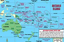
Oceania - Asia SRTM Terrain (All Parts)
Oceania - Asia SRTM Terrain Mesh. Covers Australia, New Zealand (including Au…
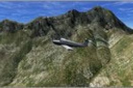
Alaska’s mountains, valleys, and coastlines gain sharper definition with a high-resolution 38 m terrain mesh replacement covering the entire state, improving elevation accuracy for low-level VFR routes and demanding approaches. Designed for Microsoft Flight Simulator X, it enhances the default landscape with smoother ridgelines, more convincing slopes, and better terrain-driven realism.
Alaska 38 Terrain Mesh Part 1 & 2.
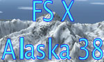
FSX Alaska 38 Terrain Mesh
Replacement terrain mesh file for the whole of Alaska.
Extract bgl file in any activated scenery folder as for example:
C:Program FilesMicrosoft GamesMicrosoft Flight Simulator XAddon Sceneryscenery
or any activated scenery folder of your choice.
assembled by Raimondo Taburet
this files are donated to the friendly flight simulation fans!
Free for all simmers · 268.69 MB · Scanned clean
Download speed: Free tier is capped at 0.5 Mbps (this file takes approximately 1h 15m at the cap). PRO members download at full line speed.
FSX\Addon Scenery\ containing scenery and texture sub-folders.readme.txt or README file. It tells you exactly where files go, what dependencies are needed, and any quirks specific to this add-on.Use these coordinates to fly directly to this location once the mod is installed.
58.30190000,-134.41970000
Launch FSX or Prepar3D and use Flights → Load to open the downloaded .pln file. Your aircraft will be positioned at this location.
The archive xalas.zip has 7 files and directories contained within it.
This list displays the first 500 files in the package. If the package has more, you will need to download it to view them.
| Filename/Directory | File Date | File Size |
|---|---|---|
| xalas38.zip | 04.14.12 | 101.46 MB |
| __MACOSX | 04.14.12 | 0 B |
| xalas382.zip | 04.14.12 | 167.15 MB |
| flyawaysimulation.txt | 10.29.13 | 959 B |
| Go to Fly Away Simulation.url | 01.22.16 | 52 B |
More FSX & P3D add-ons hand-picked based on this download.
FSX Scenery
Oceania - Asia SRTM Terrain Mesh. Covers Australia, New Zealand (including Au…
 FSX Scenery
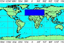
FSX World Wide Coverage SRTM 3, version 2, mesh of Europe. Includes the compl…
 FSX Scenery
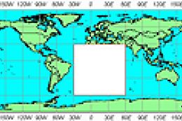
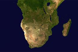
FSX World Wide Coverage SRTM 3, version 2, mesh of Africa. Includes the compl…
 FSX Scenery
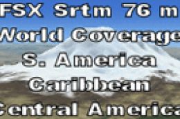
FSX SRTM 76 m South America, Central America and the Caribbean. Designed with…
 FSX Scenery
A complete package containing all parts and files of the highly detailed 76m …
 FSX Scenery
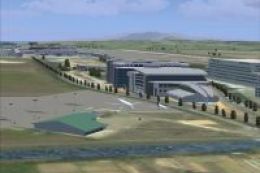
Formosa X, RCTP Taiwan Taoyuan Int'l Airport 1. This project improves the def…
 FSX Scenery
This amazing all-in-one package includes all parts (1-5) of the series. All o…
 FSX Scenery
Victoria, Canada Area, including the Southern Gulf Islands and the San Juan I…
Read what other simmers think, or add your own.
Wonderful work for us who cannot afford the MSFS2020 and the equipment run it satisfactorily, but I do wish there were some scenery upgrades for Canada.
Thanks to all of you who makes freeware to let us enjoy our hobby.
Best whishes.
João