FSX Queenstown Scenery
Queenstown Airport (FAQT) scenery recreates the small GA field in South Africa’s Eastern Cape with upgraded airport layout, localized ground details, and extra visual enhancements for richer approaches and circuits. Designed for Microsoft Flight Simulator X, it requires Acceleration for the fullest “eye candy” while remaining compatible with SP2.
 South Africa
 - File: queenstown.zip
- Size:7.06 MB
- Scan:
Clean (17d)

- Access:Freeware
- Content:Everyone
Queenstown is a small GA airfield in South Africa's Eastern Cape region. FSX Acceleration will give the best results (also SP2 compatible). Acceleration users will have more eye candy. By Jacques Botha.
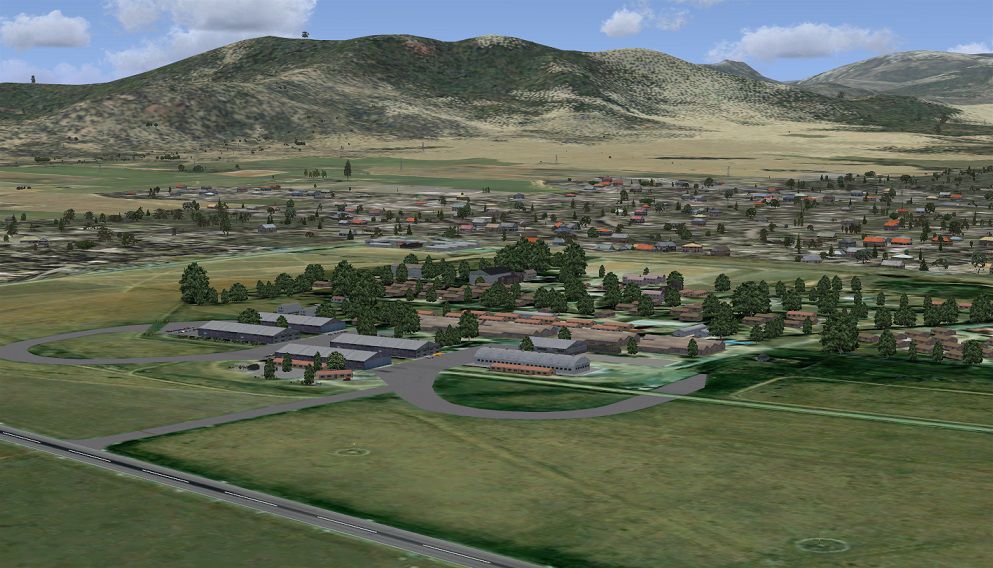
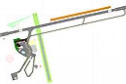
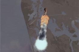
Aerial view of Queenstown scenery.
Windows 7 users follow the following instructions:
- Unzip "Queenstown.zip" to a temp folder.
- Copy the "FAQT_Queenstown" folder to your "FSX/scenery" folder.
- Copy the "AFX_FAQT_ALT.bgl" file to your "FSX/scenery/world/scenery" folder.
- Run FSX
- On the main page go to "settings"
- Now click on "scenery library"
- Now click on "Add area" and search for the scenery folder.
- Double click on the scenery folder and look for the"FAQT_Queenstown" folder.
- Double click on this folder and then you shall see a texture and a scenery folder. Click on the open area outside the two folders.
- The scenery will now load!
- Go to free flight and choose "FAQT" to start your flight! Enjoy.
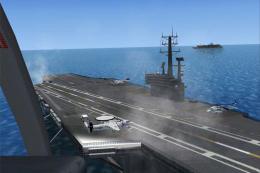
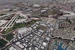
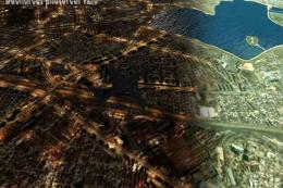
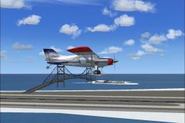
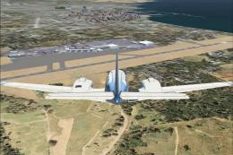
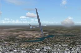
Images & Screenshots

Finding the Scenery
- FSX/Prepar3D Coordinates:
-
-31.89700000,26.88400000
Use the downloaded flight plan file by launching FSX/P3D, selecting "Load Flight Plan" in the flight planner, and choosing the .pln file. Your aircraft will be positioned directly at the add-on’s location. - Decimal Degrees (DD):
-
Latitude: -31.897000°
Longitude: 26.884000° - Degrees, Minutes, Seconds (DMS):
-
Latitude: 31° 53' 49.200" S
Longitude: 26° 53' 02.400" E
Map Location
The archive queenstown.zip has 26 files and directories contained within it.
File Contents
This list displays the first 500 files in the package. If the package has more, you will need to download it to view them.
| Filename/Directory | File Date | File Size |
|---|---|---|
| Queenstown | 08.28.12 | 0 B |
| AFX_FAQT_ALT.bgl | 08.28.12 | 435 B |
| FAQT.jpg | 08.28.12 | 218.33 kB |
| FAQT_Queenstown | 08.28.12 | 0 B |
| scenery | 08.28.12 | 0 B |
| 001_AFX_FAQT.bgl | 08.28.12 | 7.20 kB |
| cvxFAQT_EXCLD_BCGR.BGL | 08.28.12 | 247 B |
| cvxFAQT_EXCLD_FLTN.BGL | 08.28.12 | 228 B |
| FAQT_EXCLD_FLTN_Scenery.BGL | 08.28.12 | 112 B |
| FAQT_ez_scenery.bgl | 08.28.12 | 15.65 kB |
| FAQT_libr.bgl | 08.28.12 | 13.92 kB |
| FAQT_Photo.bgl | 08.28.12 | 6.77 MB |
| FAQT_windsock.bgl | 05.08.12 | 119.59 kB |
| texture | 08.28.12 | 0 B |
| FAQT_Admin.dds | 08.28.12 | 170.80 kB |
| FAQT_Admin_LM.dds | 08.28.12 | 170.80 kB |
| FAQT_groothangars.dds | 08.31.12 | 170.80 kB |
| FAQT_groothangars_2.dds | 08.28.12 | 170.80 kB |
| FAQT_groothangars_2_LM.dds | 08.28.12 | 170.80 kB |
| FAQT_groothangars_LM.dds | 08.28.12 | 170.80 kB |
| windsock.bmp | 10.12.06 | 42.75 kB |
| windsock_LM.bmp | 10.20.06 | 42.75 kB |
| FAQT_Readme.txt | 08.28.12 | 1.58 kB |
| thumbnail.jpg | 08.28.12 | 17.00 kB |
| flyawaysimulation.txt | 10.29.13 | 959 B |
| Go to Fly Away Simulation.url | 01.22.16 | 52 B |
Installation Instructions
Most of the freeware add-on aircraft and scenery packages in our file library come with easy installation instructions which you can read above in the file description. For further installation help, please see our Flight School for our full range of tutorials or view the README file contained within the download. If in doubt, you may also ask a question or view existing answers in our dedicated Q&A forum.


0 comments
Leave a Response