FSX Baie James Hydroelectric Complex Scenery
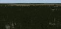
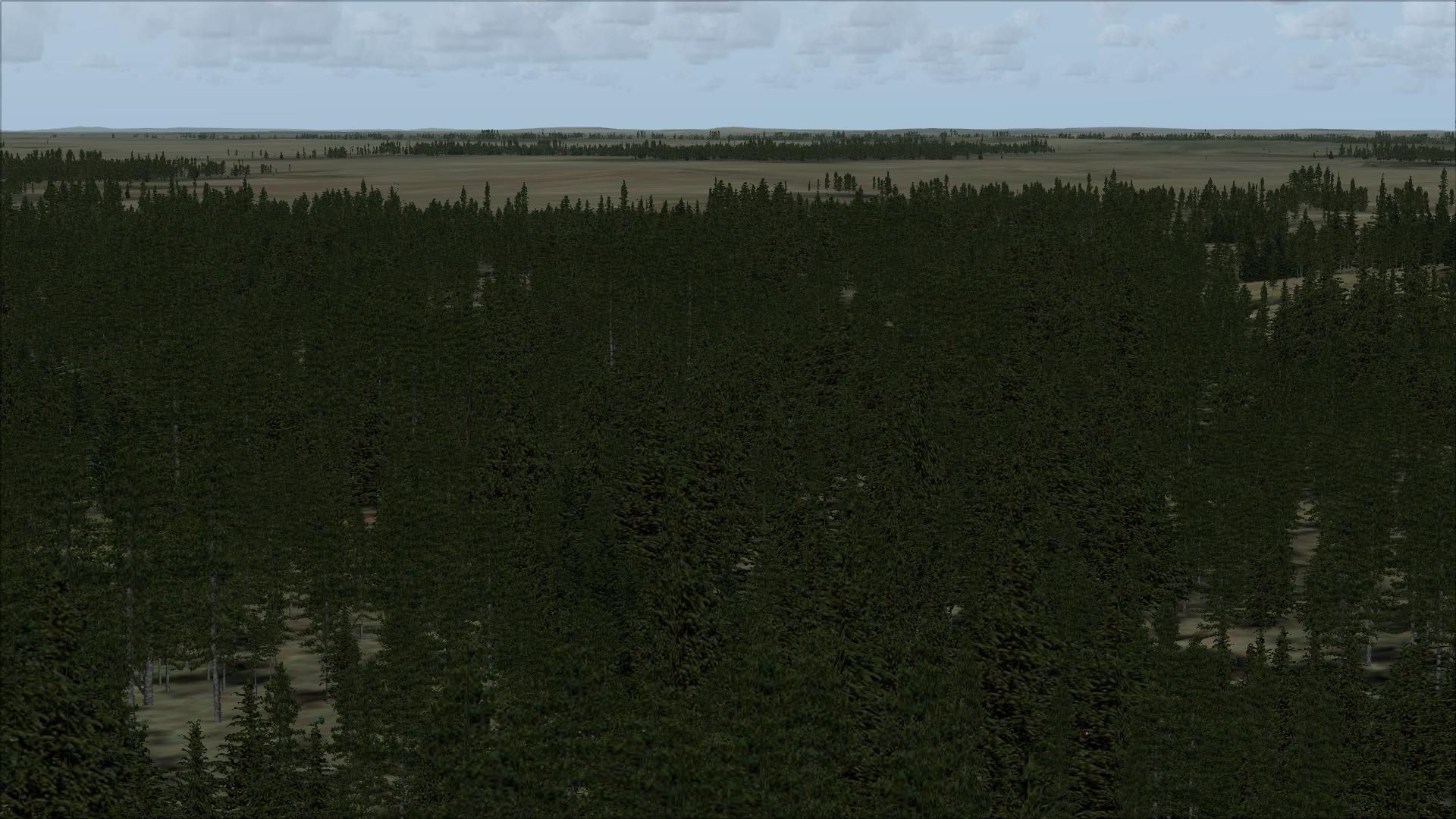
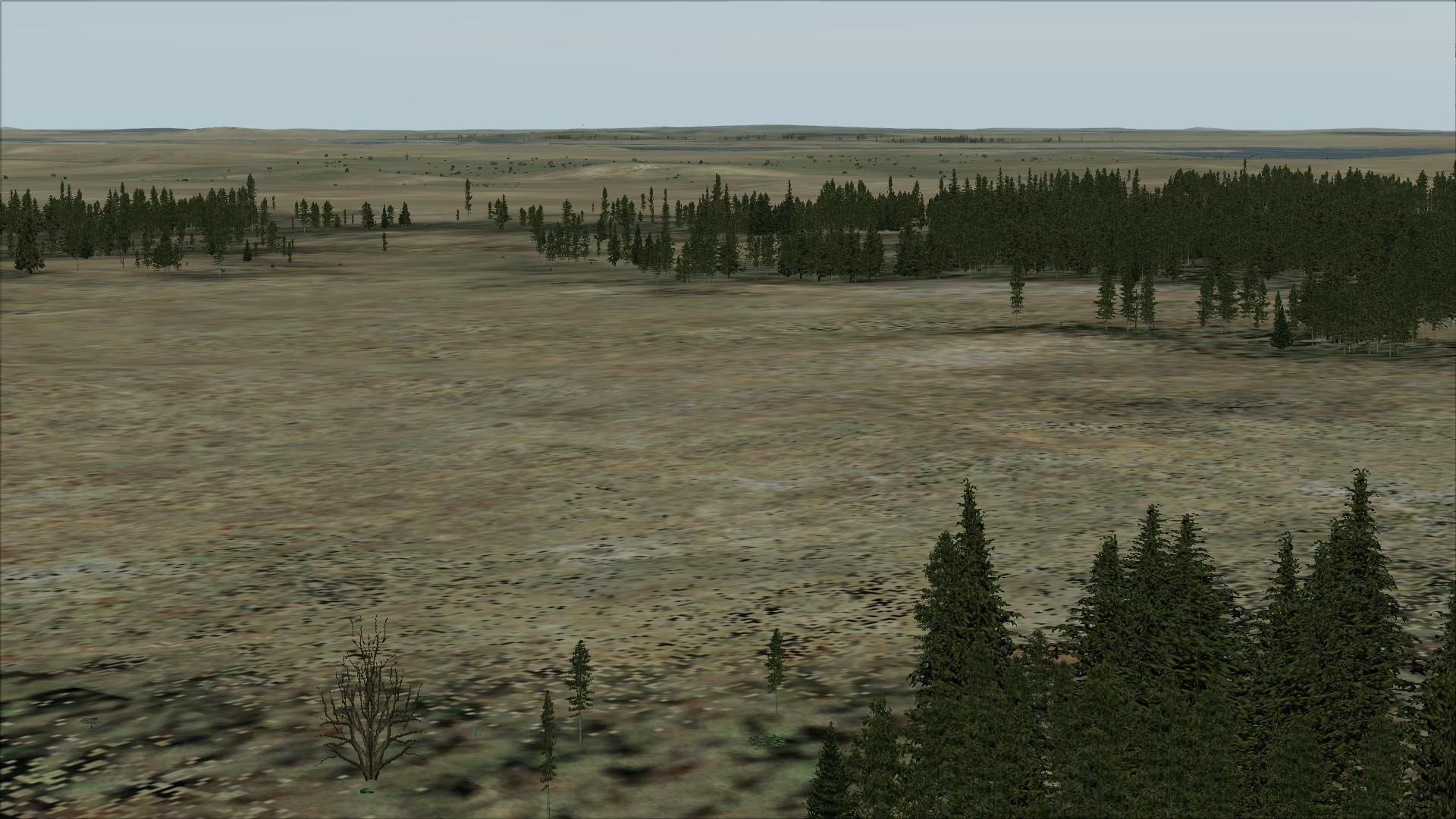
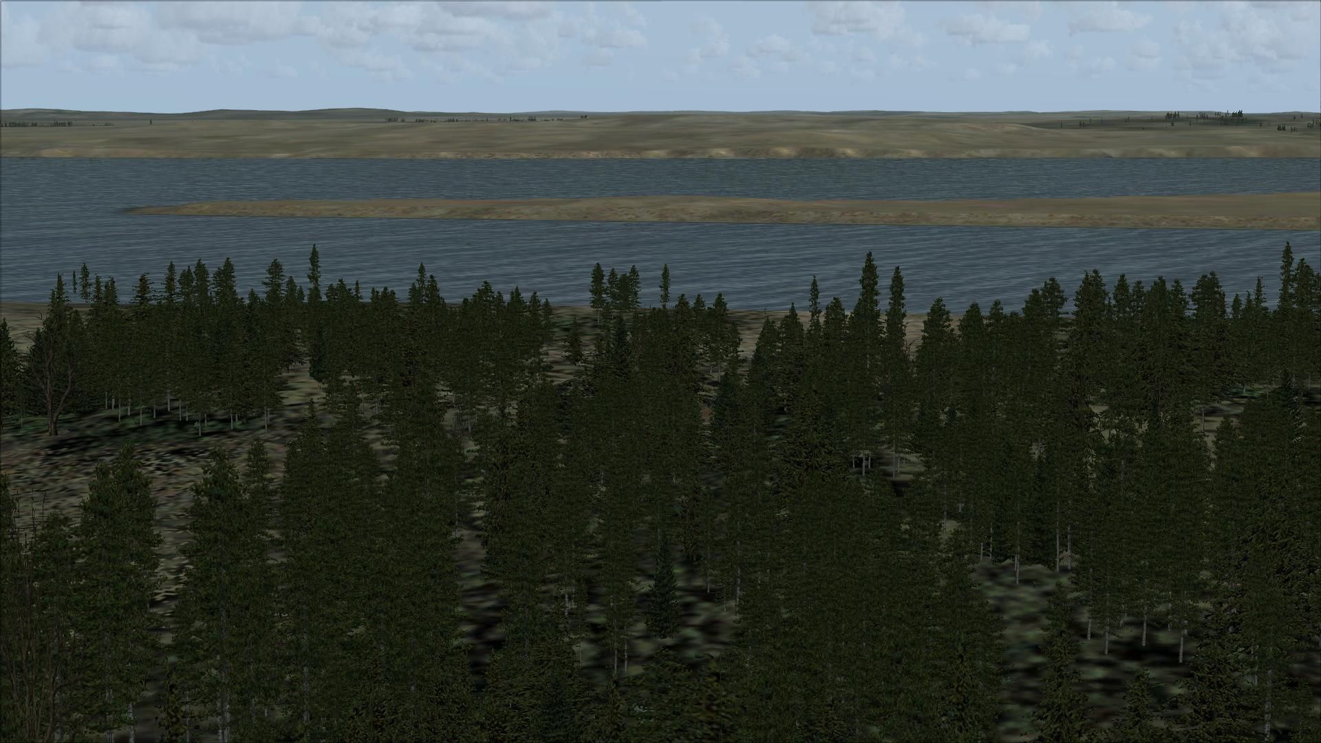
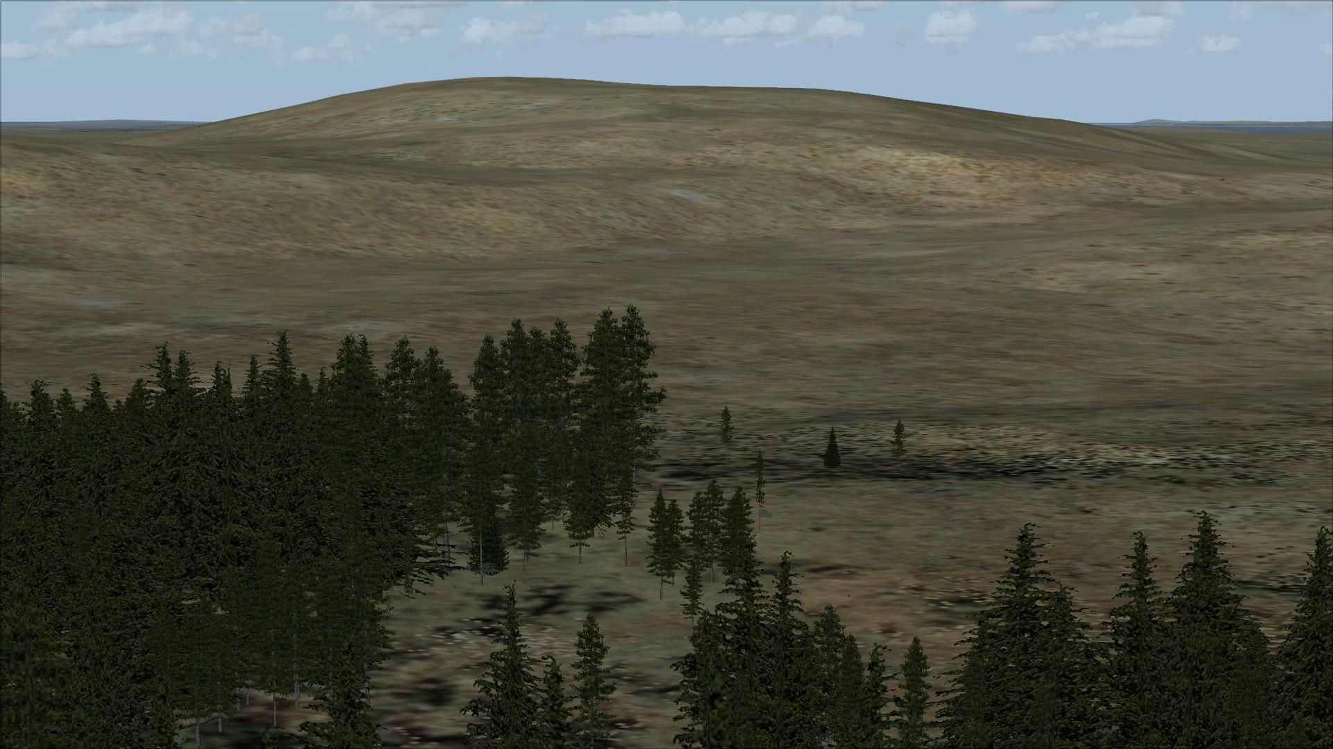
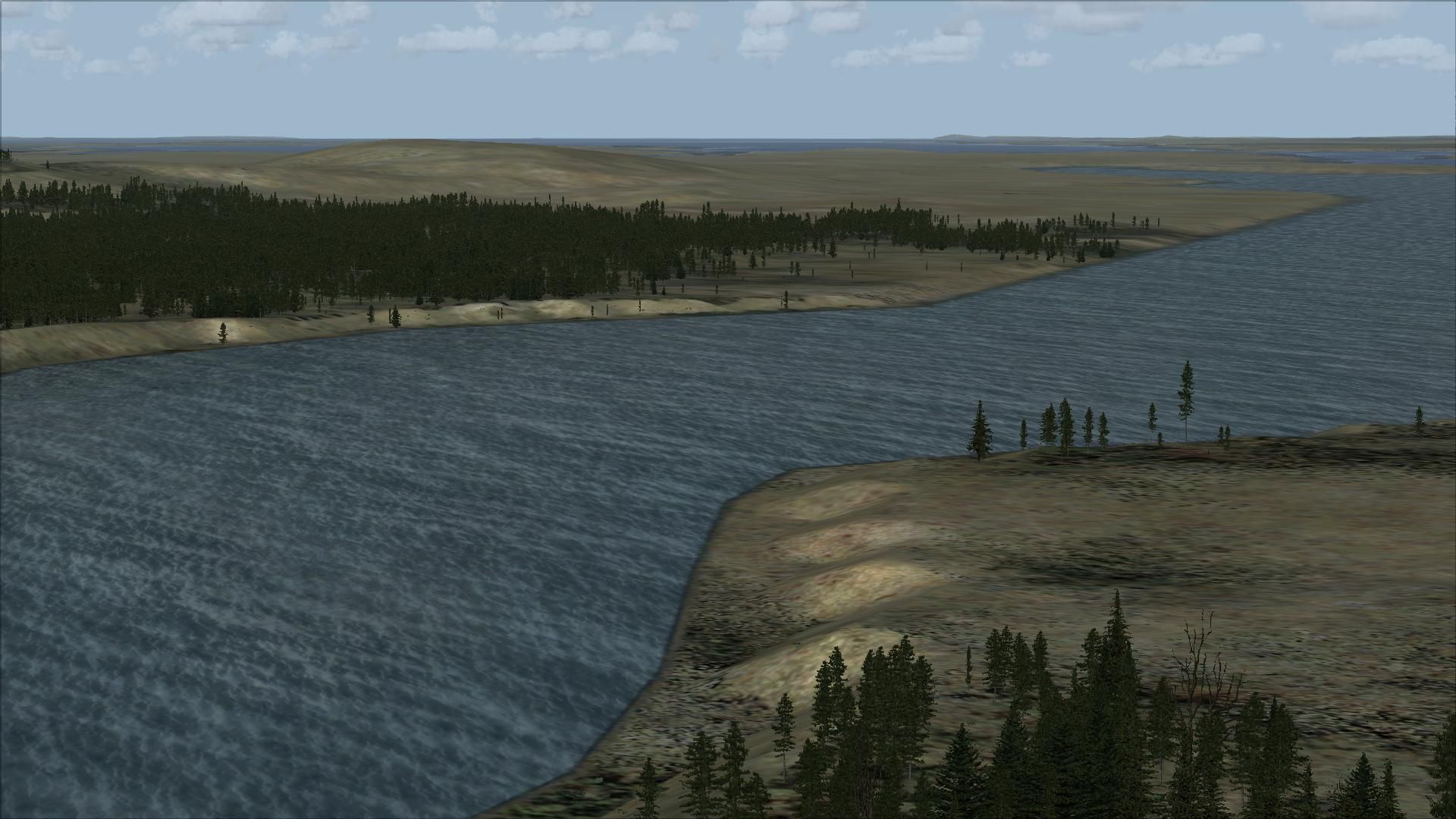
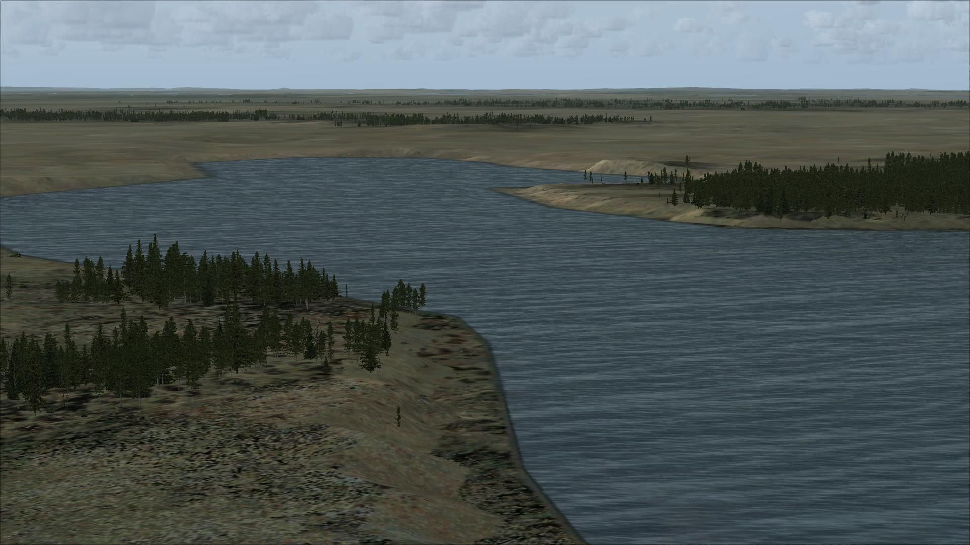
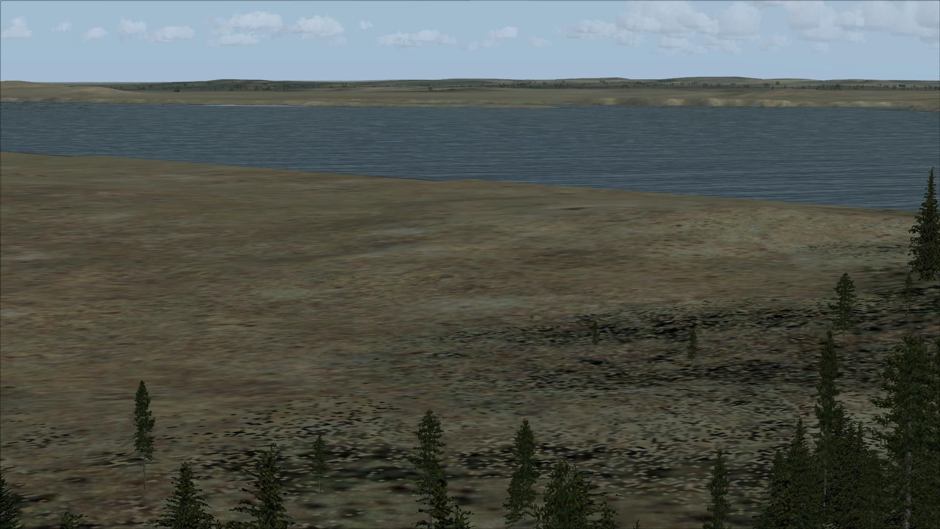
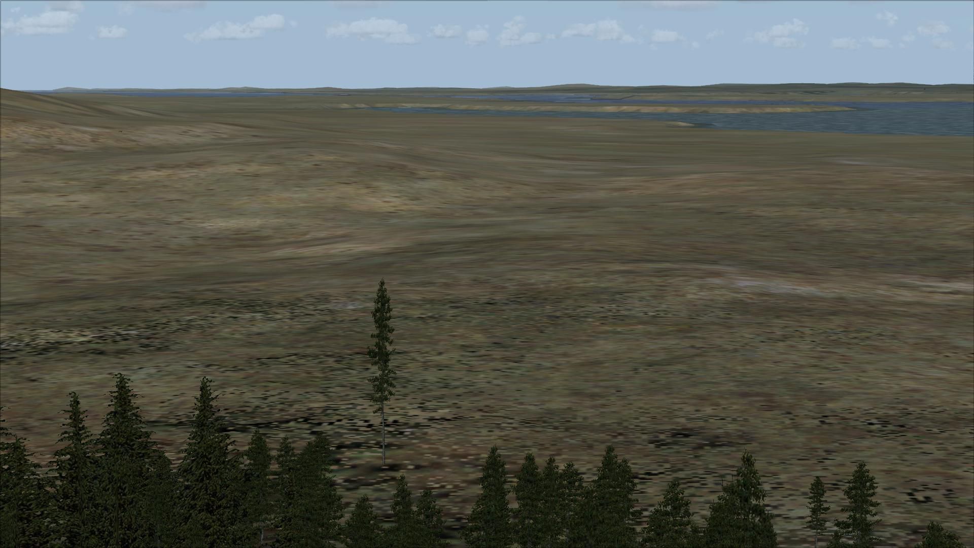
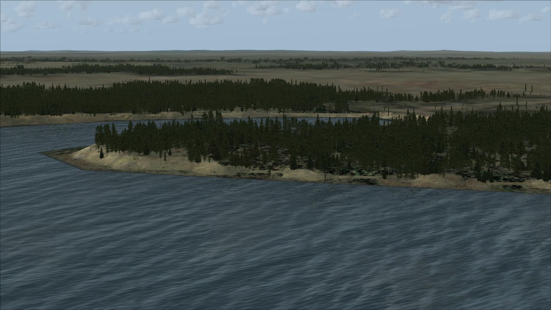
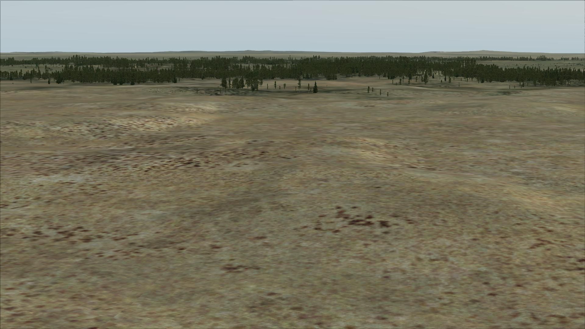
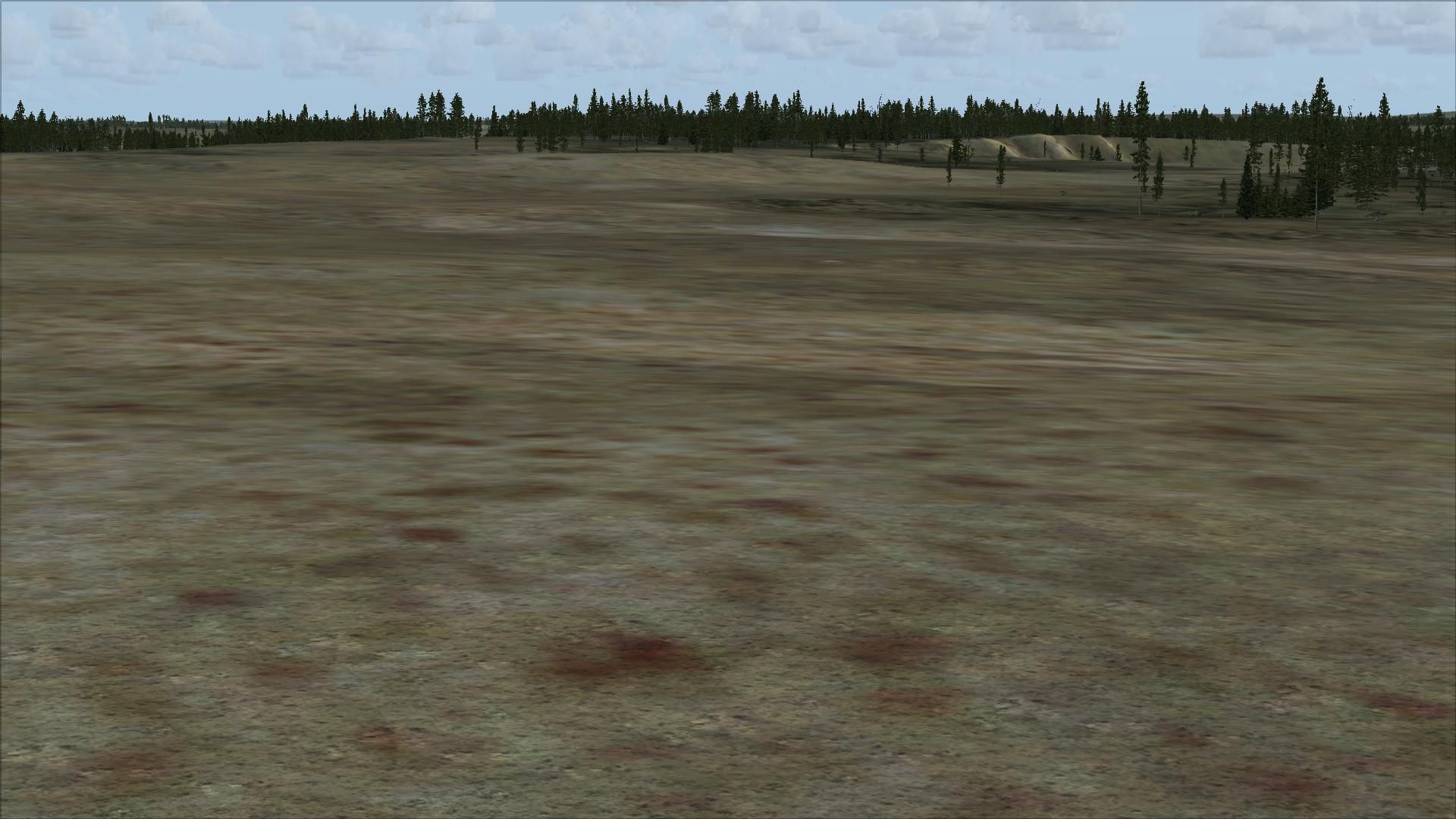
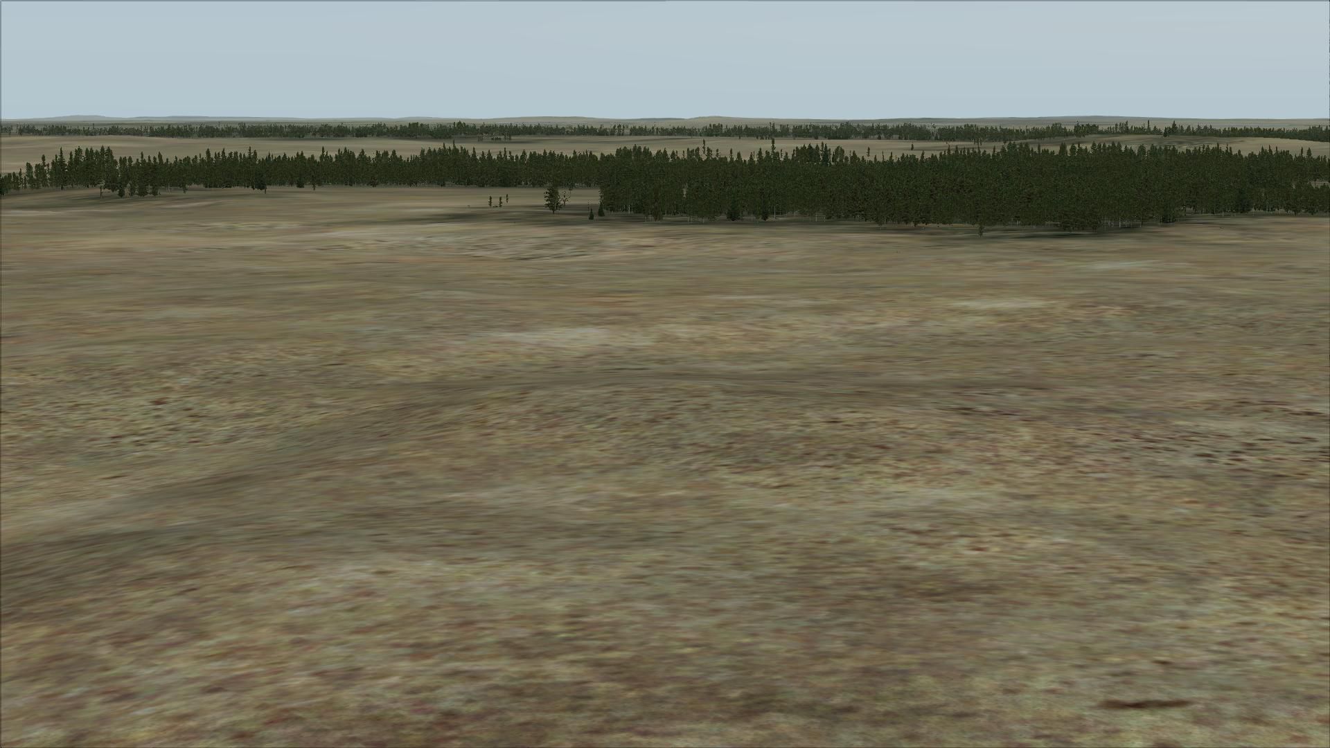
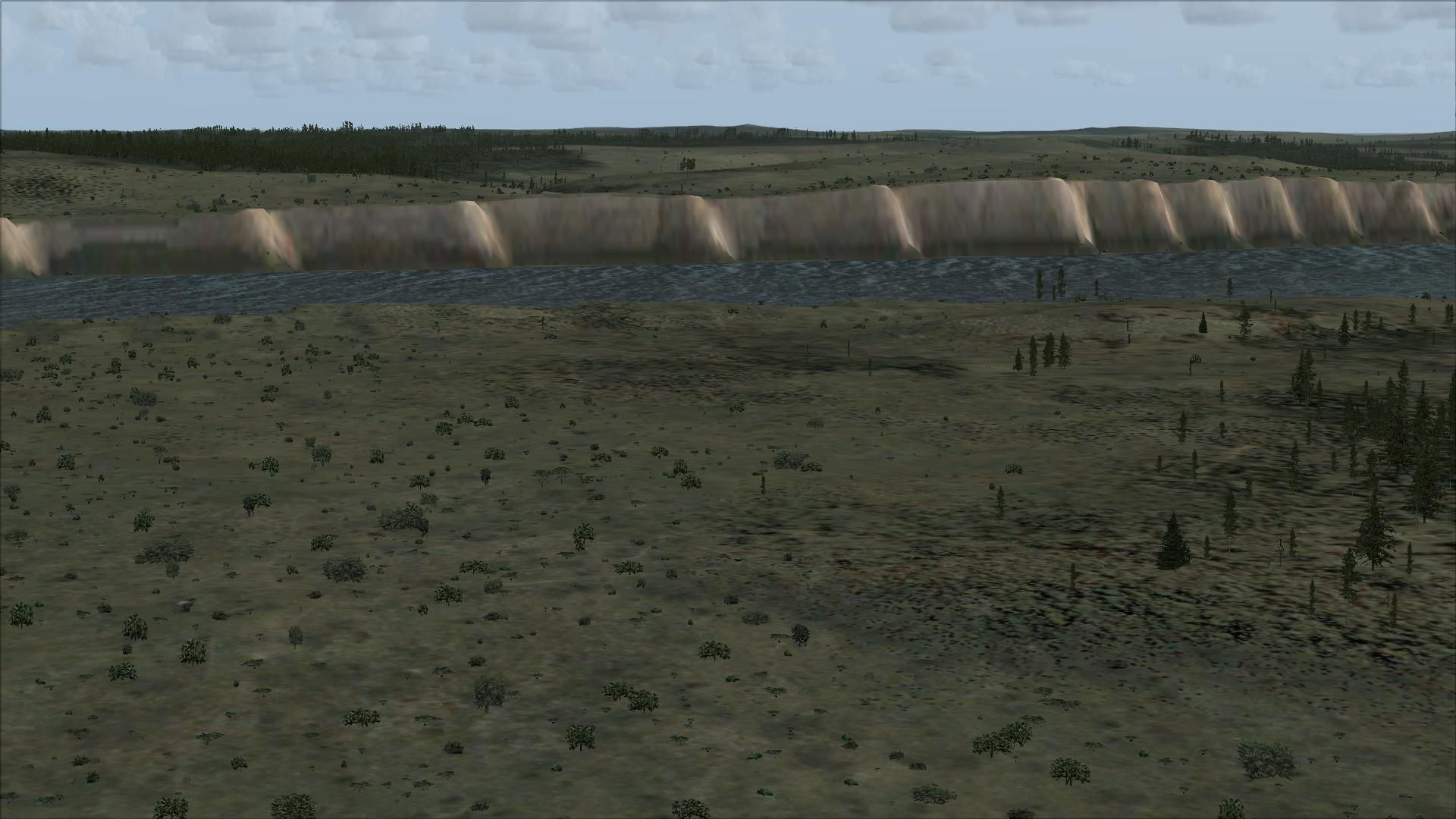
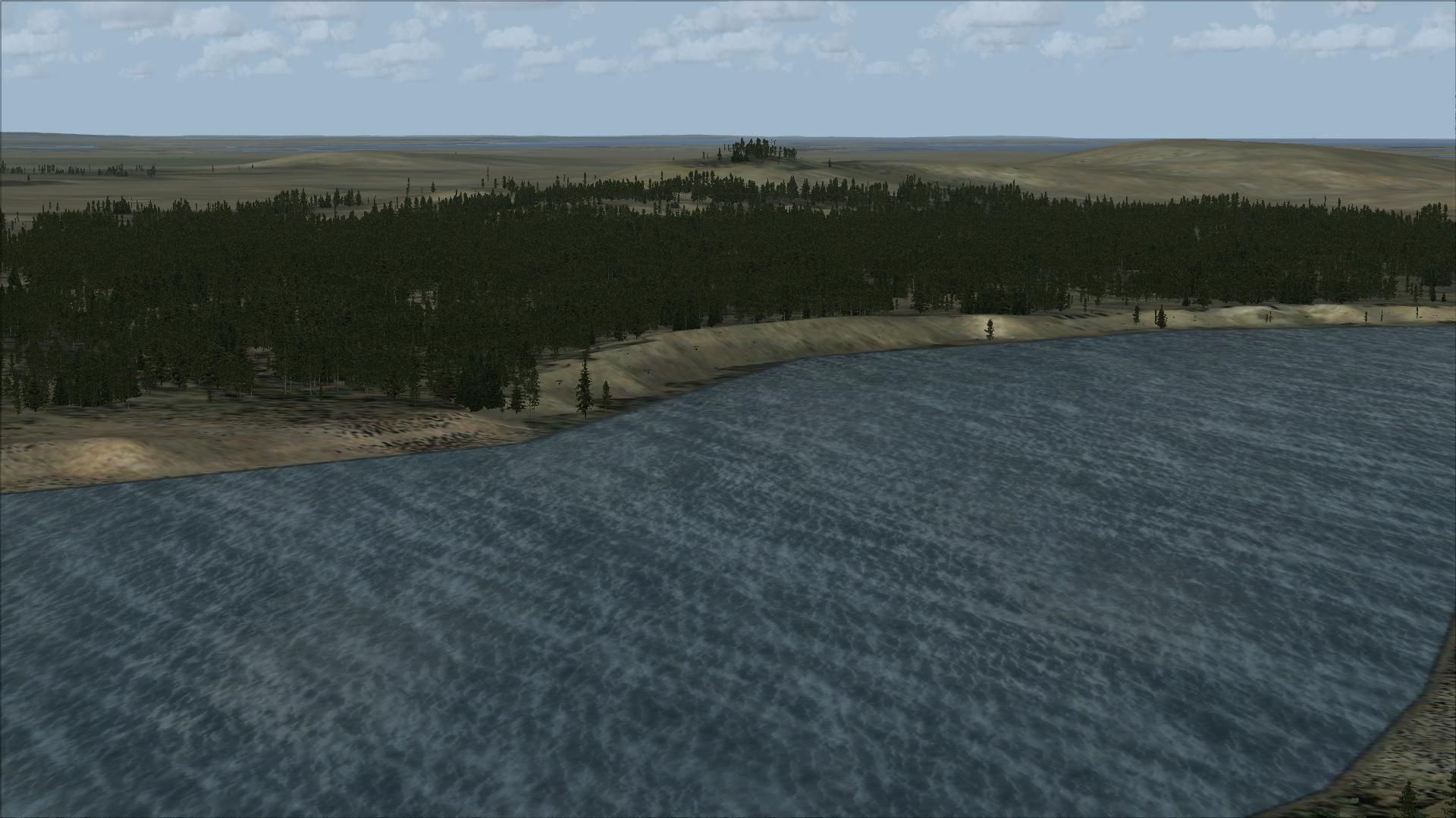
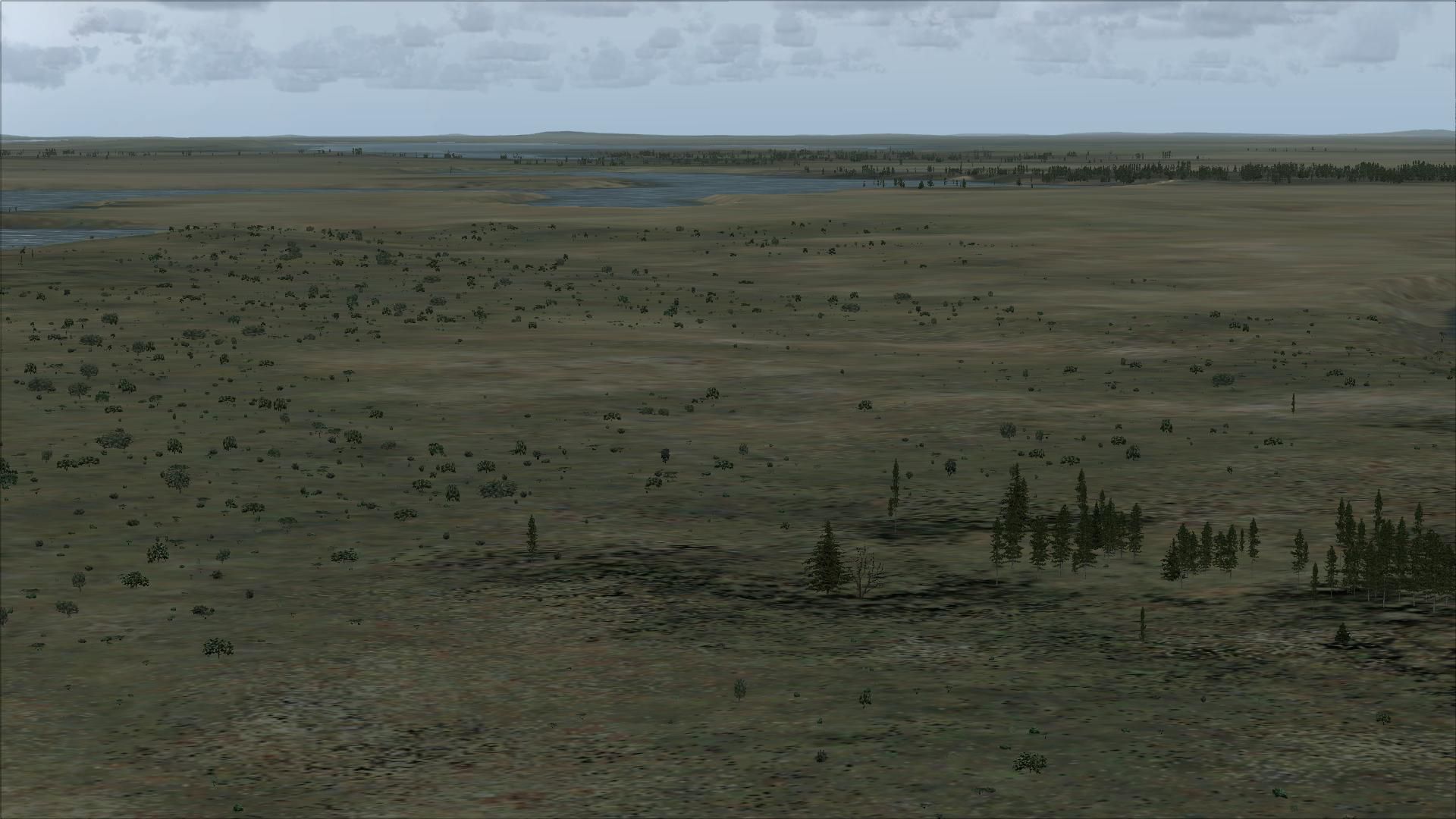
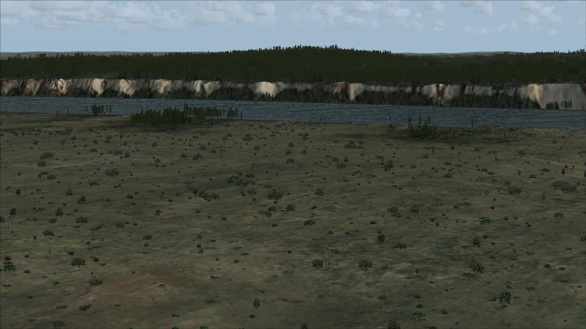
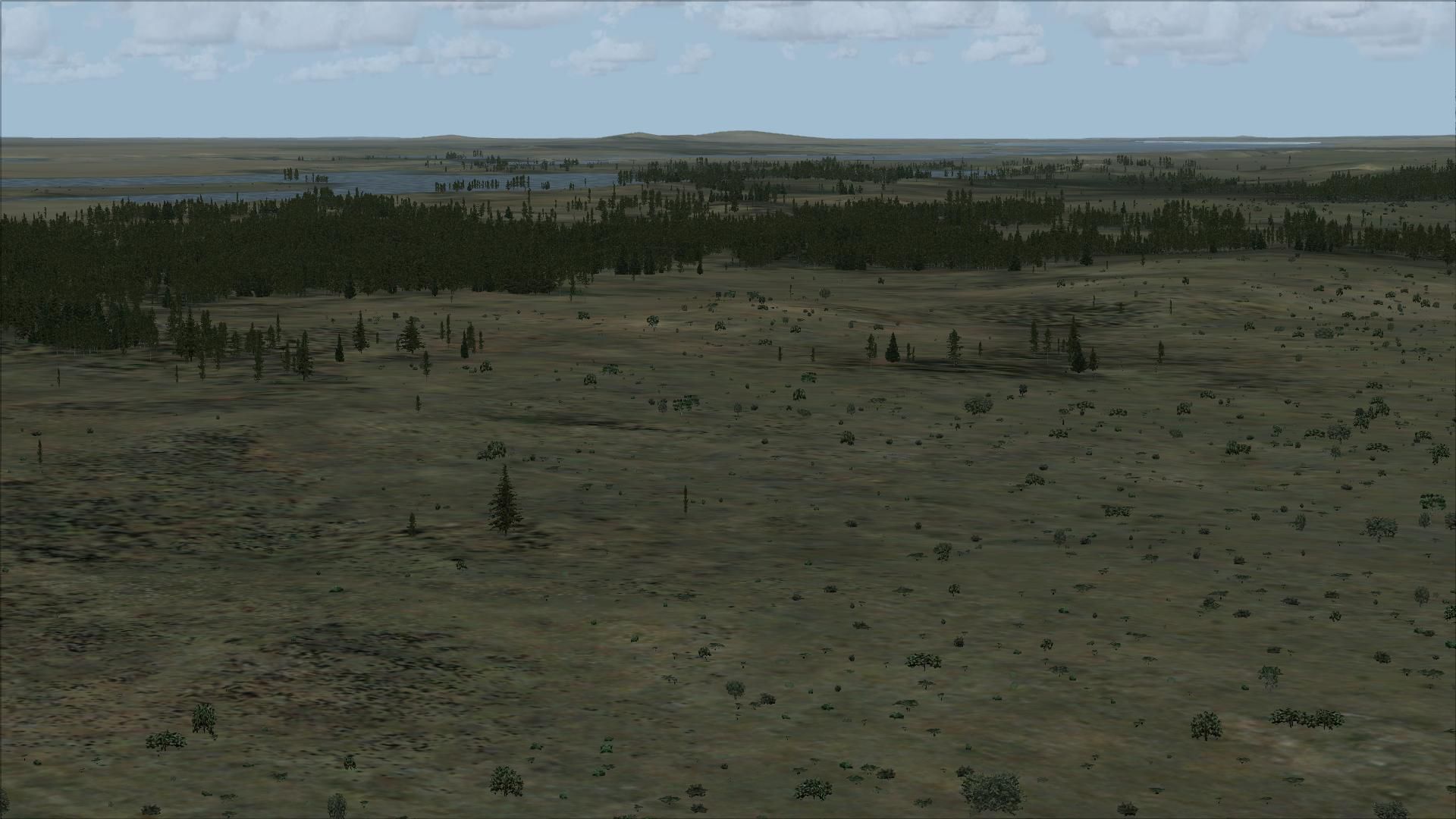
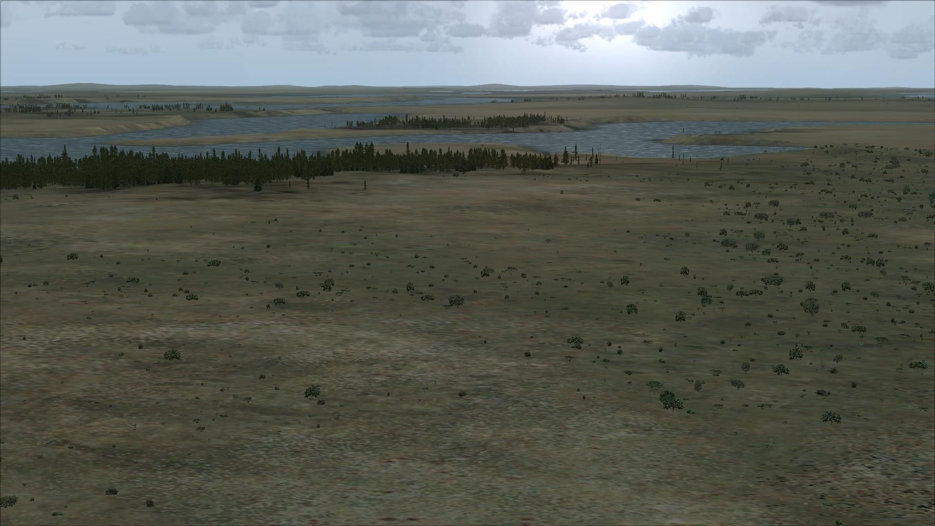
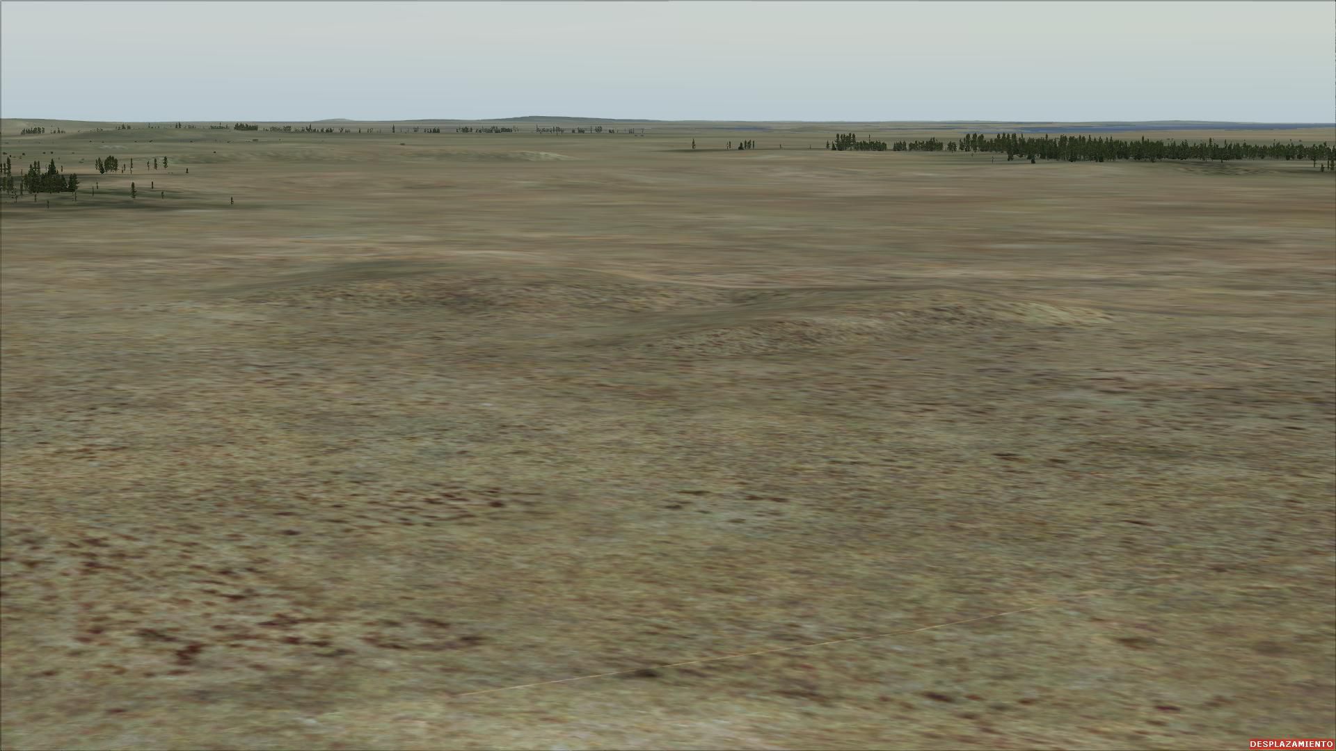
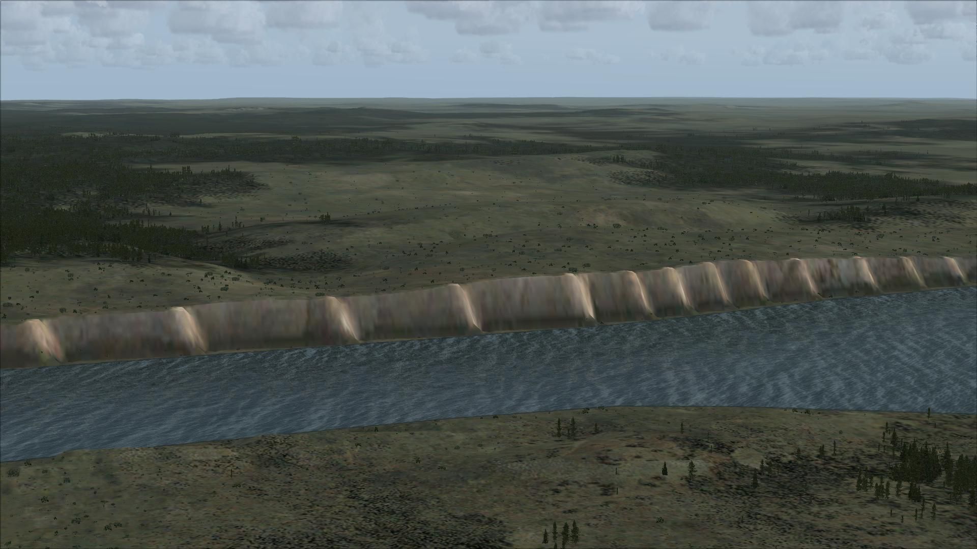
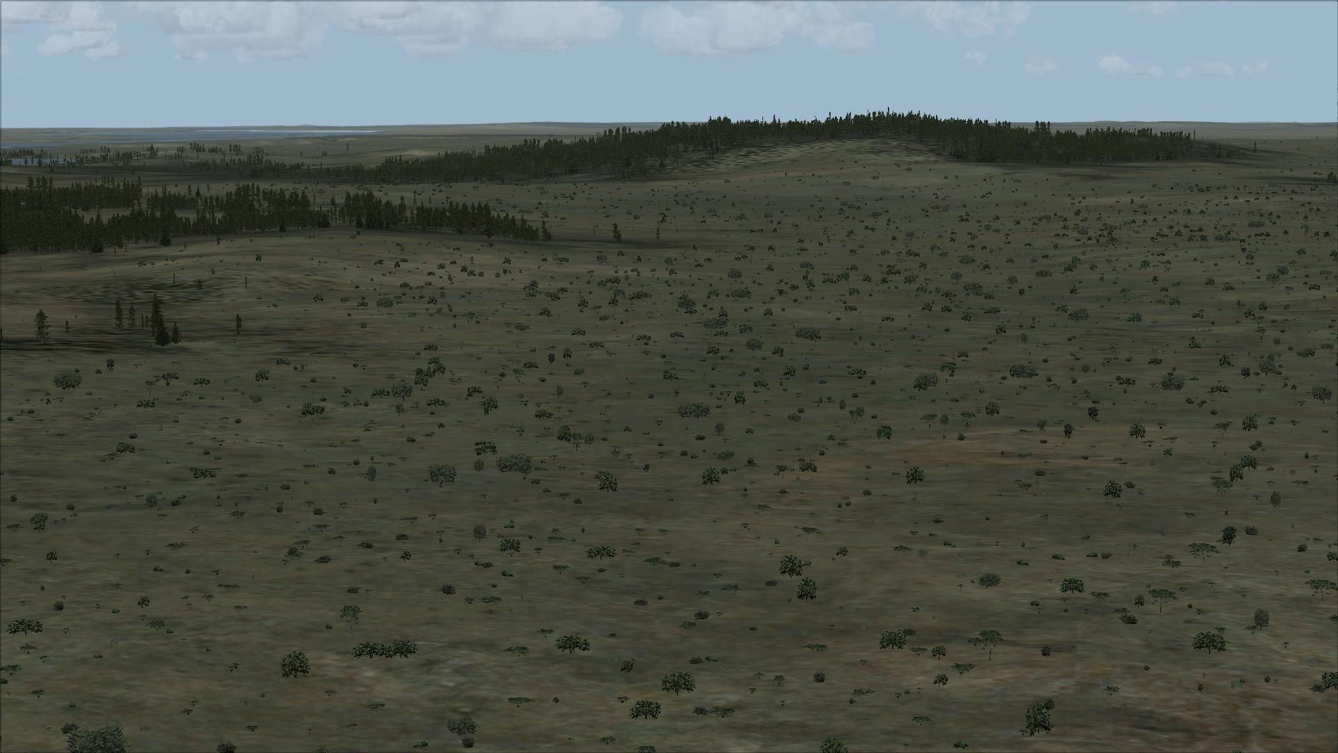
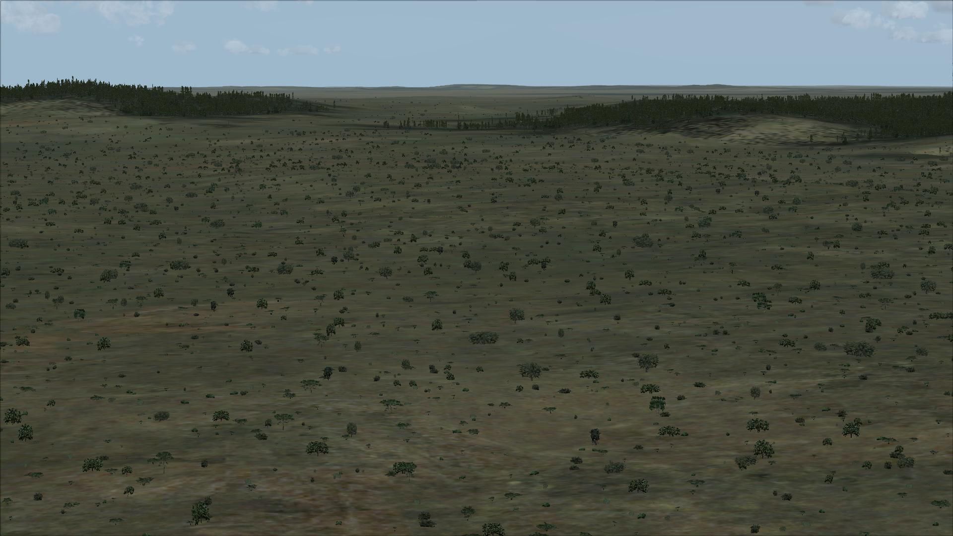
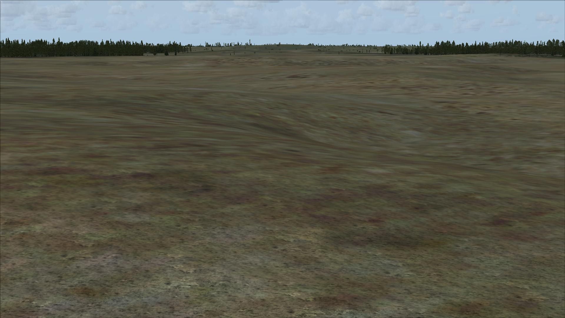
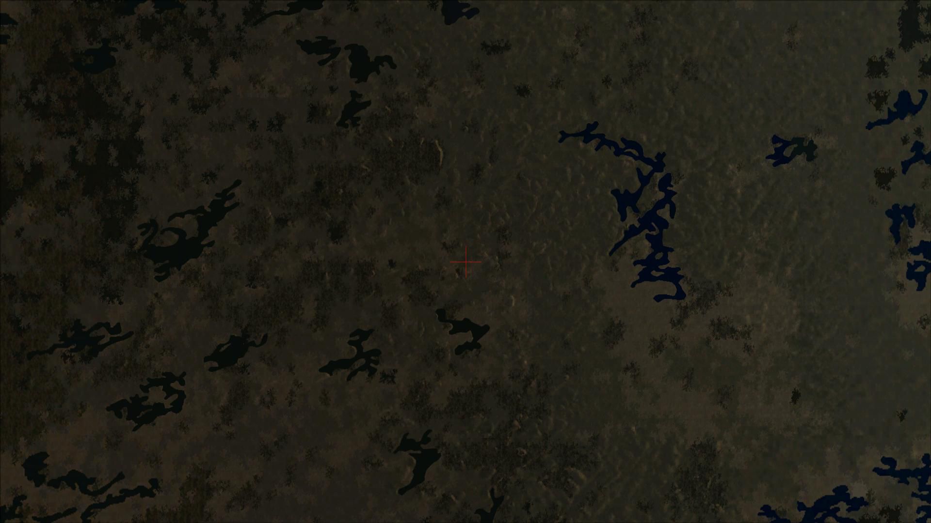
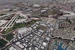
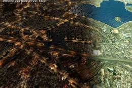
Baie James Hydroelectric Complex terrain mesh sharpens northern Quebec’s vast hydro corridor with 38 m LOD10 elevation detail across N52–N56 and W66–W80. Built for Microsoft Flight Simulator X, it enhances valleys, ridgelines, and reservoir contours for more believable low-level VFR sightseeing and regional operations.

 Canada
 - File: hydro-complete.zip
- Size:106.62 MB
- Scan:
Clean (27d)

- Access:Freeware
- Content:Everyone
Baie James Hydroelectric Complex terrain mesh, Quebec, Canada in LOD10 (38m).
This package is complete and includes both of the original files needed; Qc38mBJ_FSX_1de2.zip and Qc38mBJ_FSX_2de2.zip.
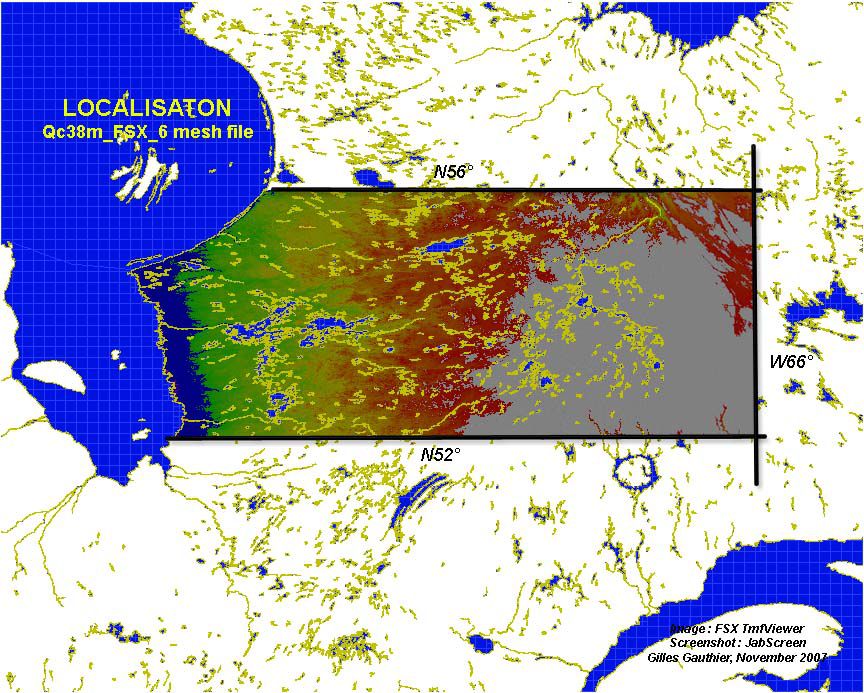
38m (Lod10) terrain mesh files of Baie James hydroelectric complex, province of Quebec (N52°-N56°, W66°-W80°).
Installation:
- Extract the zipped files to a temporary directory, making sure that the "use folder names" option is enabled.
- When the files are unzipped to the temporary directory you should see a folder, called "Qc38mBJ_FSX", with the standard "scenery" subfolder.
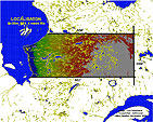
- The "Qc38mBJ_FSX" folder contains this readme file and a localization map.
- The terrain mesh BGL files are in the "scenery" subfolder and labeled by latitude(1°)-longitude(2°) name (NW corner).
- Move the "Qc38mBJ_FSX" folder wherever you keep your add-on sceneries.
- Activate the scenery in Flight Simulator X Scenery Library. Display Setting - Mesh resolution = 38m
These files are supplied AS-IS. No warranties or guarantees are implied or supplied. I will not supply additional explanations regarding the installation, the use of Flight Simulator or the software used with this scenery.
Developer: Gilles Gauthier.
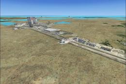
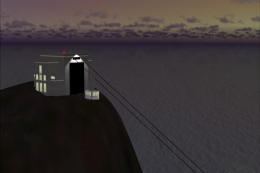
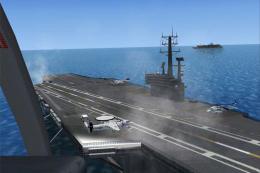
Images & Screenshots

Finding the Scenery
- FSX/Prepar3D Coordinates:
-
53.79000000,-77.61000000
Use the downloaded flight plan file by launching FSX/P3D, selecting "Load Flight Plan" in the flight planner, and choosing the .pln file. Your aircraft will be positioned directly at the add-on’s location. - Decimal Degrees (DD):
-
Latitude: 53.790000°
Longitude: -77.610000° - Degrees, Minutes, Seconds (DMS):
-
Latitude: 53° 47' 24.000" N
Longitude: 77° 36' 36.000" W
Map Location
The archive hydro-complete.zip has 62 files and directories contained within it.
File Contents
This list displays the first 500 files in the package. If the package has more, you will need to download it to view them.
| Filename/Directory | File Date | File Size |
|---|---|---|
| Go to Fly Away Simulation.url | 01.22.16 | 52 B |
| Qc38mBJ_FSX_1de2 | 08.27.19 | 0 B |
| Qc38mBJ_FSX | 08.27.19 | 0 B |
| Carte_Baie_James.jpg | 11.19.07 | 197.28 kB |
| Lisezmoi_FSX_mesh_BaieJames.txt | 12.06.07 | 4.18 kB |
| Readme_FSX_mesh_BaieJames.txt | 12.06.07 | 3.02 kB |
| Scenery | 08.27.19 | 0 B |
| N53W68_38mX.bgl | 11.13.07 | 3.97 MB |
| N53W70_38mX.bgl | 05.29.07 | 4.00 MB |
| N53W72_38mX.bgl | 05.29.07 | 4.50 MB |
| N53W74_38mX.bgl | 05.29.07 | 4.57 MB |
| N53W76_38mX.bgl | 05.29.07 | 4.64 MB |
| N53W78_38mX.bgl | 05.29.07 | 3.65 MB |
| N53W79_38mX.bgl | 05.29.07 | 1.44 MB |
| N54W68_38mX.bgl | 11.13.07 | 3.70 MB |
| N54W70_38mX.bgl | 05.29.07 | 3.79 MB |
| N54W72_38mX.bgl | 05.29.07 | 4.15 MB |
| N54W74_38mX.bgl | 05.29.07 | 4.01 MB |
| N54W76_38mX.bgl | 05.29.07 | 3.61 MB |
| N54W78_38mX.bgl | 05.29.07 | 3.06 MB |
| N54W79_38mX.bgl | 05.29.07 | 1.76 MB |
| N55W68_38mX.bgl | 11.13.07 | 3.98 MB |
| N55W70_38mX.bgl | 05.29.07 | 3.53 MB |
| N55W72_38mX.bgl | 05.29.07 | 4.08 MB |
| N55W74_38mX.bgl | 05.29.07 | 4.25 MB |
| N55W76_38mX.bgl | 05.29.07 | 4.68 MB |
| N55W78_38mX.bgl | 05.29.07 | 4.42 MB |
| N55W80_38mX.bgl | 05.29.07 | 2.77 MB |
| N56W68_38mX.bgl | 11.13.07 | 3.90 MB |
| N56W70_38mX.bgl | 05.29.07 | 3.94 MB |
| N56W72_38mX.bgl | 05.29.07 | 3.89 MB |
| N56W74_38mX.bgl | 05.29.07 | 3.89 MB |
| N56W76_38mX.bgl | 05.29.07 | 4.36 MB |
| N56W78_38mX.bgl | 05.29.07 | 3.48 MB |
| N56W79_38mX.bgl | 05.29.07 | 110.24 kB |
| flyawaysimulation.txt | 10.29.13 | 959 B |
| Screenshots | 08.28.19 | 0 B |
| screen-1.jpg | 08.28.19 | 148.82 kB |
| screen-10.jpg | 08.28.19 | 225.81 kB |
| screen-11.jpg | 08.28.19 | 232.32 kB |
| screen-12.jpg | 08.28.19 | 210.67 kB |
| screen-13.jpg | 08.28.19 | 208.06 kB |
| screen-14.jpg | 08.28.19 | 262.49 kB |
| screen-15.jpg | 08.28.19 | 226.25 kB |
| screen-16.jpg | 08.28.19 | 231.07 kB |
| screen-17.jpg | 08.28.19 | 278.14 kB |
| screen-18.jpg | 08.28.19 | 297.23 kB |
| screen-19.jpg | 08.28.19 | 195.25 kB |
| screen-2.jpg | 08.28.19 | 206.64 kB |
| screen-20.jpg | 08.28.19 | 216.32 kB |
| screen-21.jpg | 08.28.19 | 250.16 kB |
| screen-22.jpg | 08.28.19 | 206.89 kB |
| screen-23.jpg | 08.28.19 | 220.70 kB |
| screen-24.jpg | 08.28.19 | 212.92 kB |
| screen-25.jpg | 08.28.19 | 290.73 kB |
| screen-3.jpg | 08.28.19 | 212.67 kB |
| screen-4.jpg | 08.28.19 | 209.29 kB |
| screen-5.jpg | 08.28.19 | 199.03 kB |
| screen-6.jpg | 08.28.19 | 200.02 kB |
| screen-7.jpg | 08.28.19 | 208.50 kB |
| screen-8.jpg | 08.28.19 | 234.38 kB |
| screen-9.jpg | 08.28.19 | 211.94 kB |
Installation Instructions
Most of the freeware add-on aircraft and scenery packages in our file library come with easy installation instructions which you can read above in the file description. For further installation help, please see our Flight School for our full range of tutorials or view the README file contained within the download. If in doubt, you may also ask a question or view existing answers in our dedicated Q&A forum.


0 comments
Leave a Response