FSX Caransebes Scenery
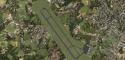
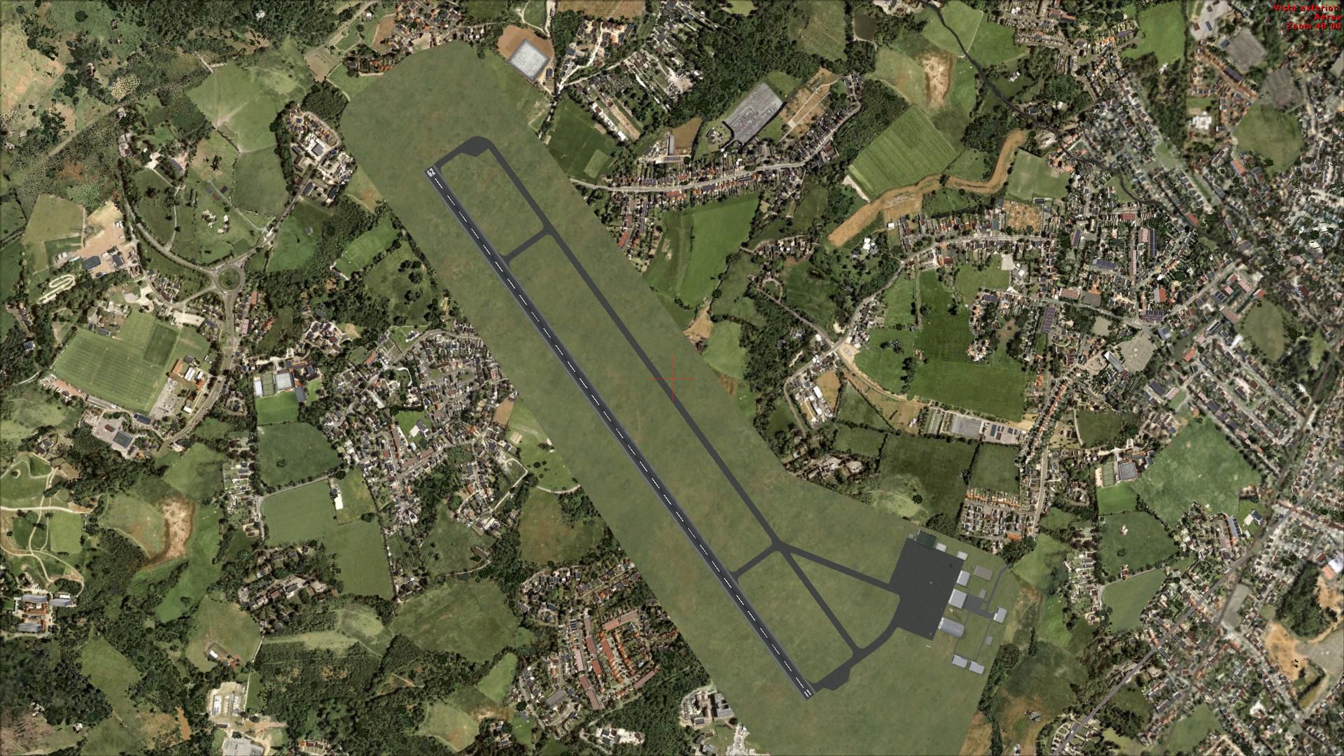
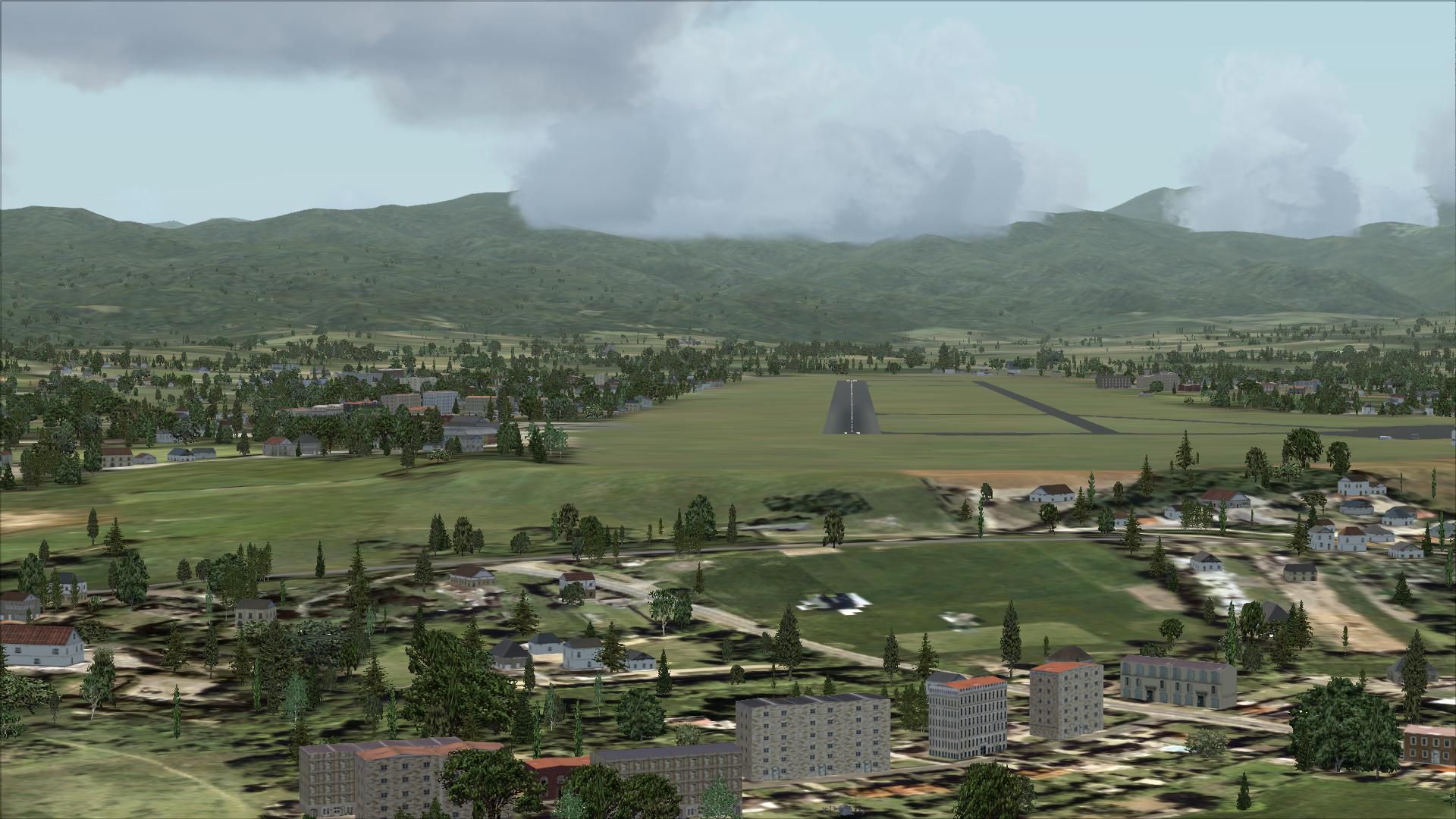
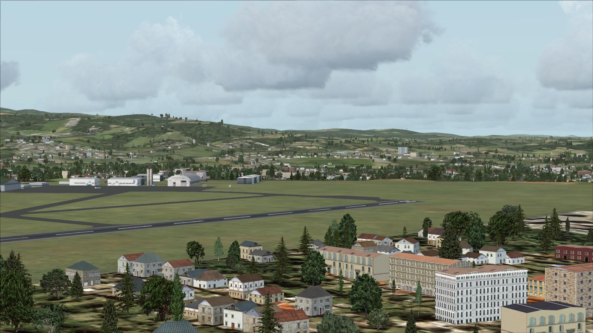
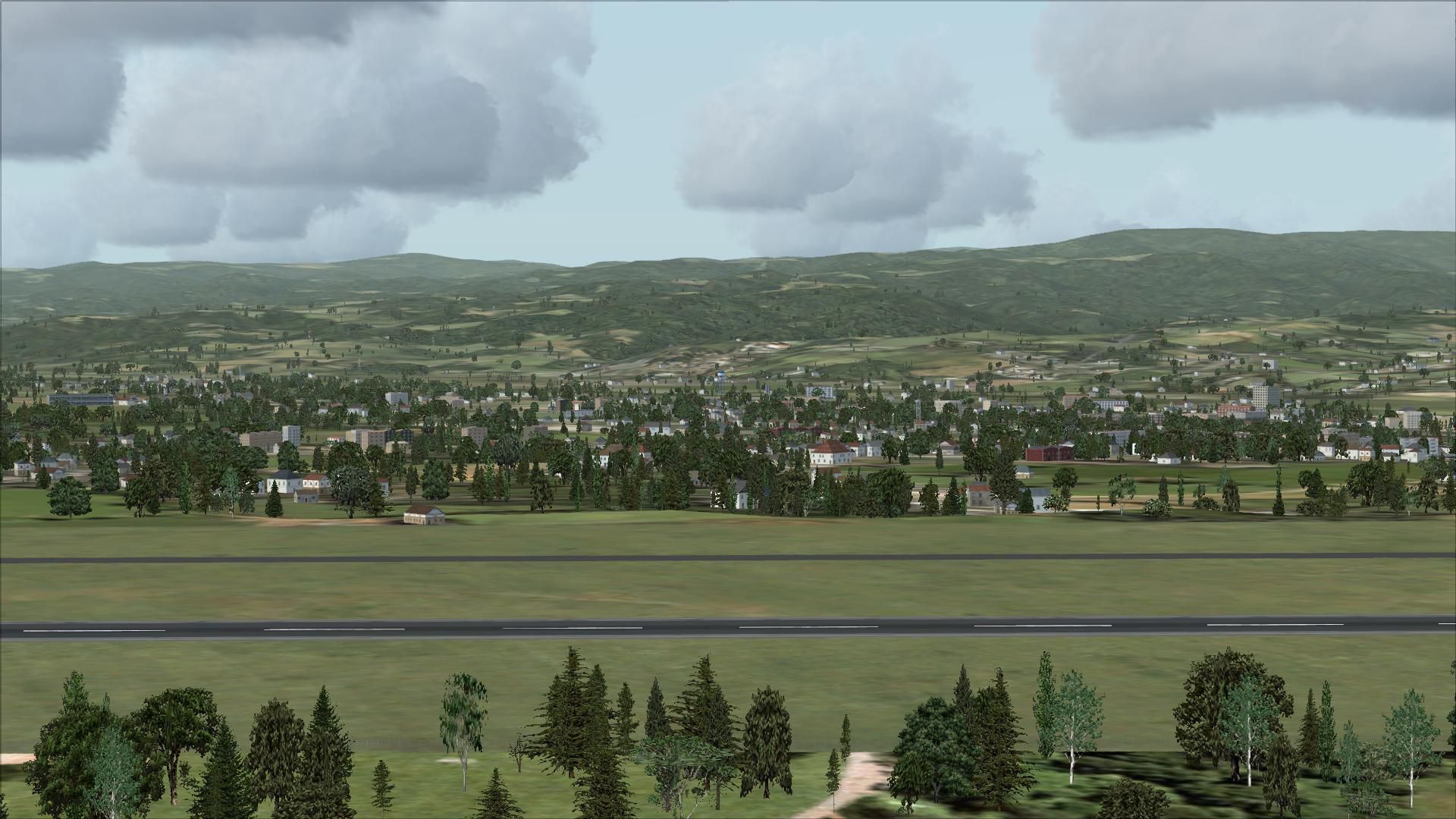
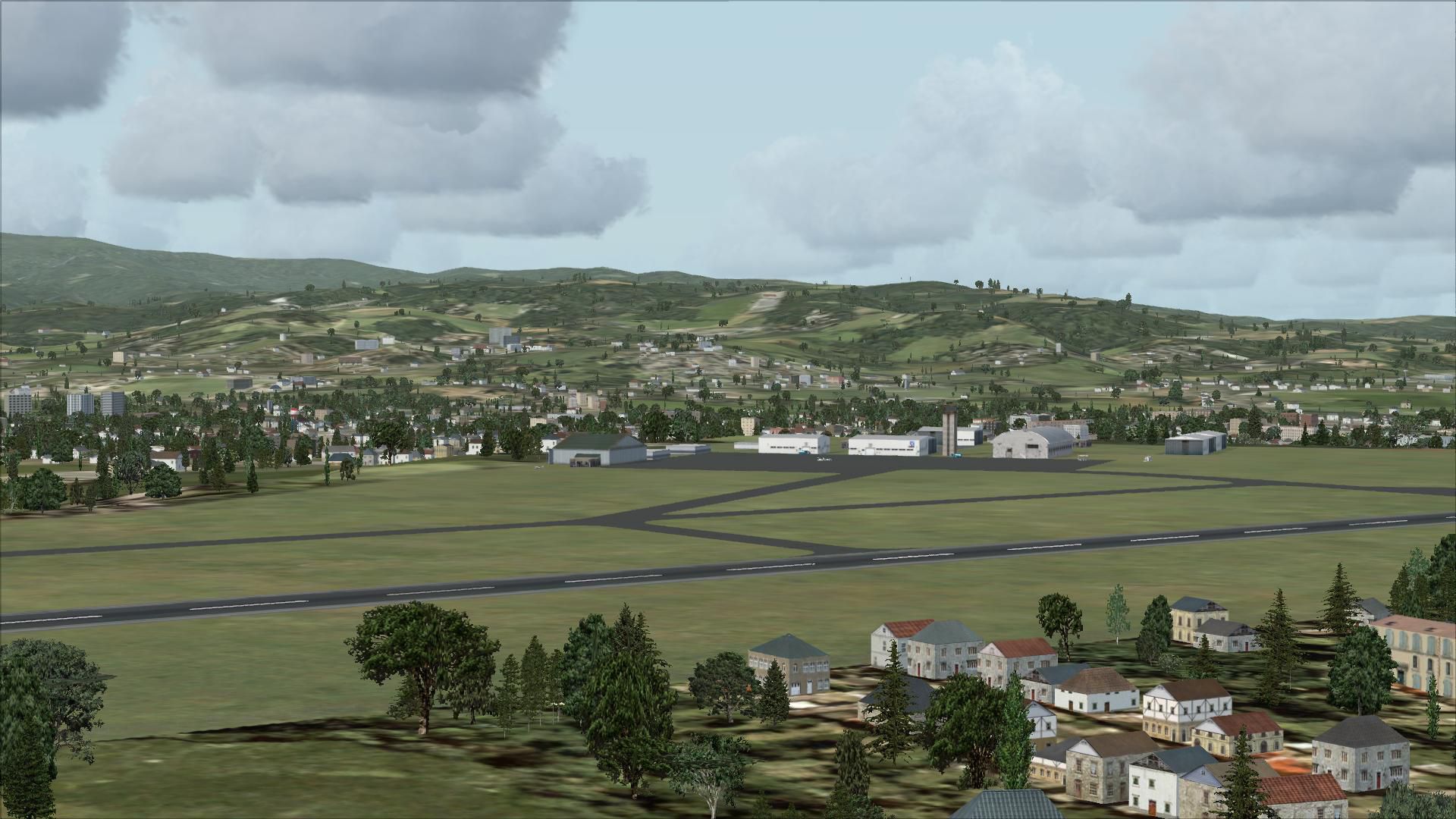
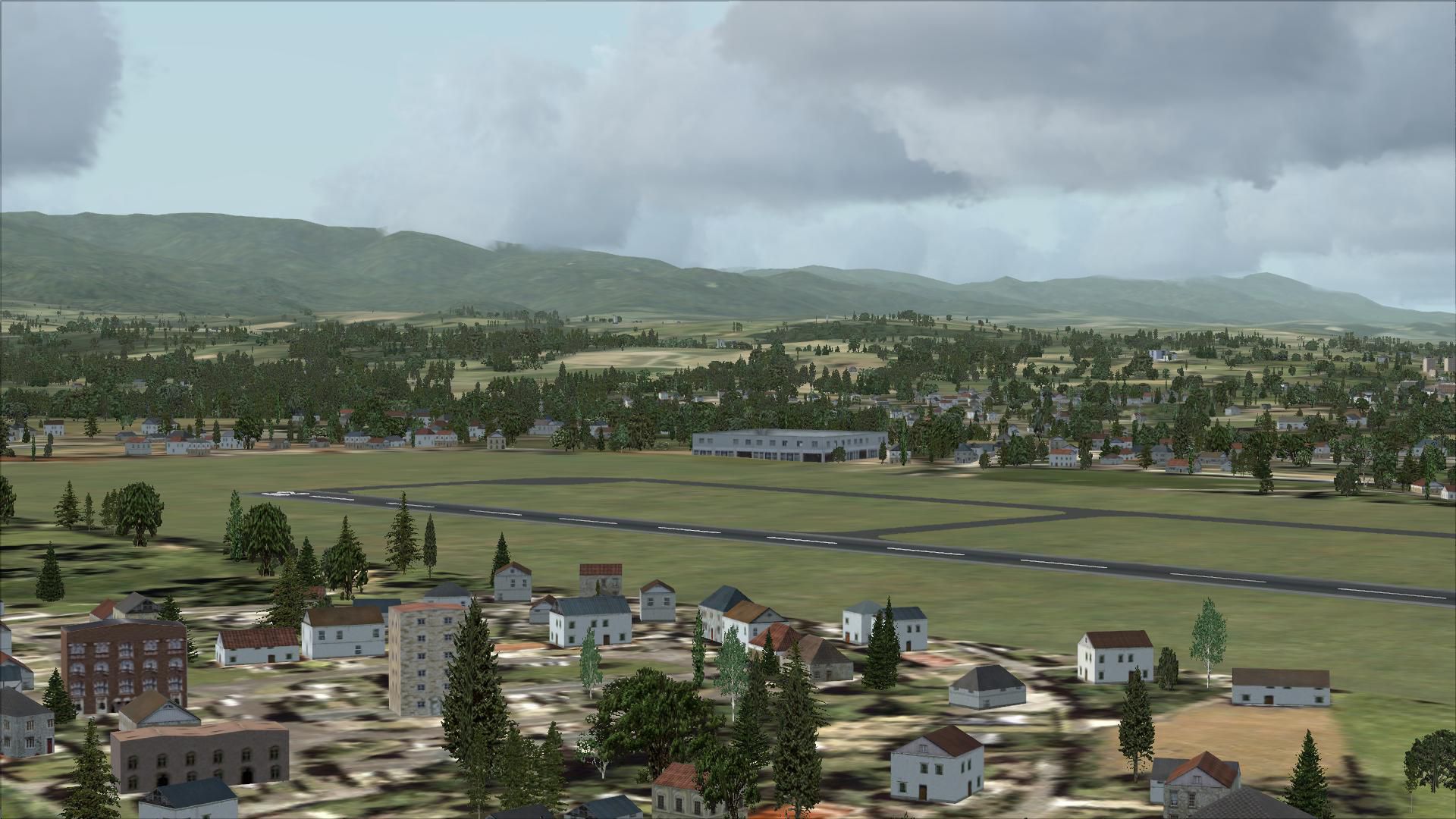
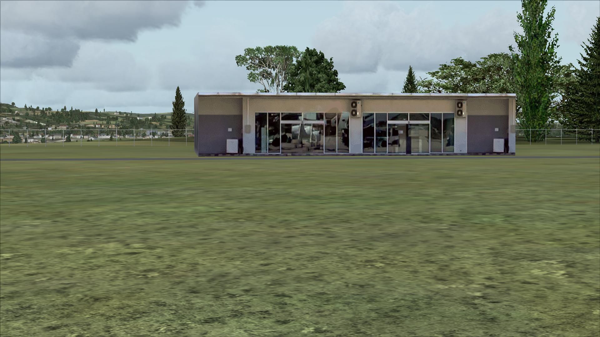
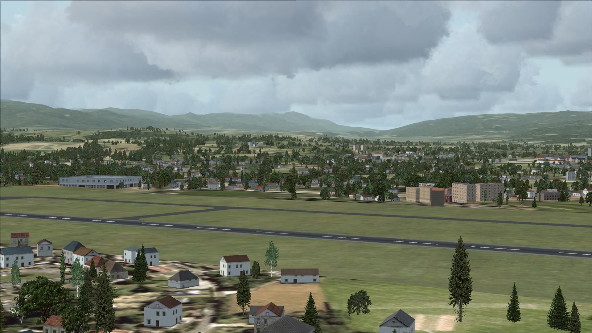
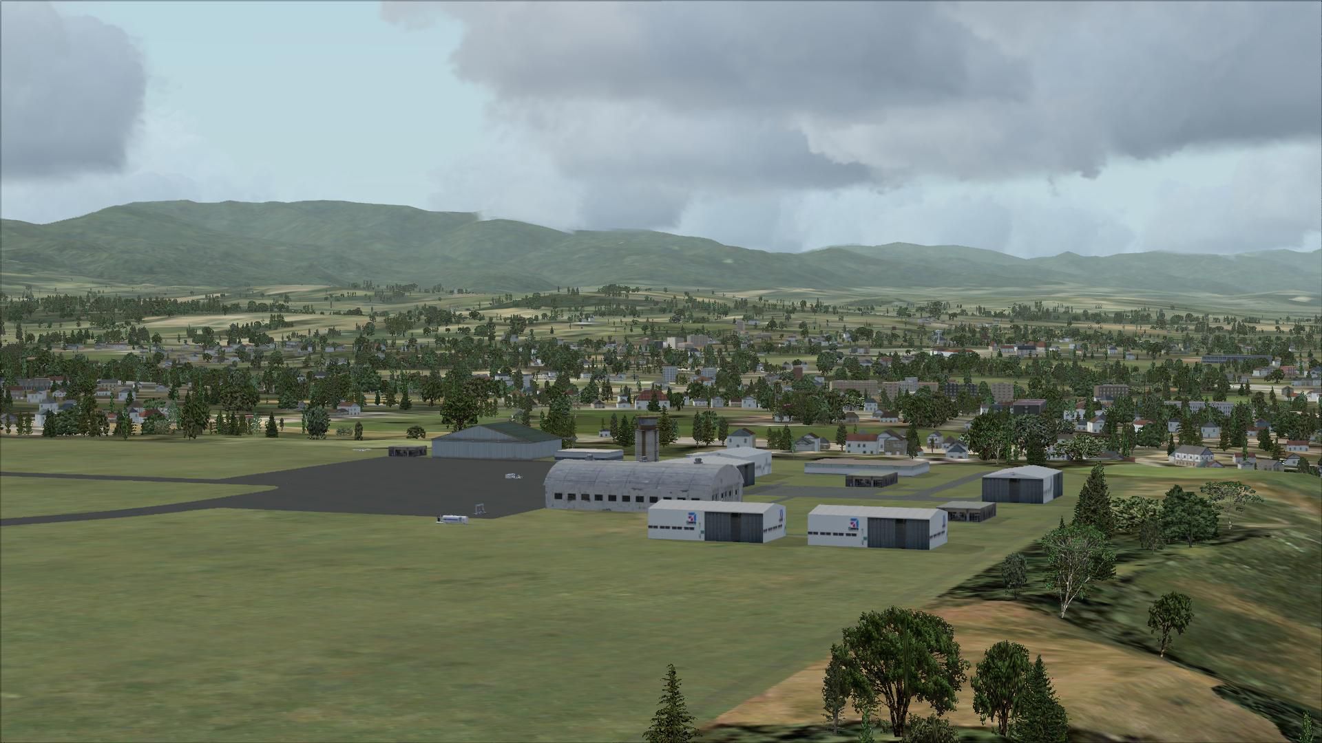
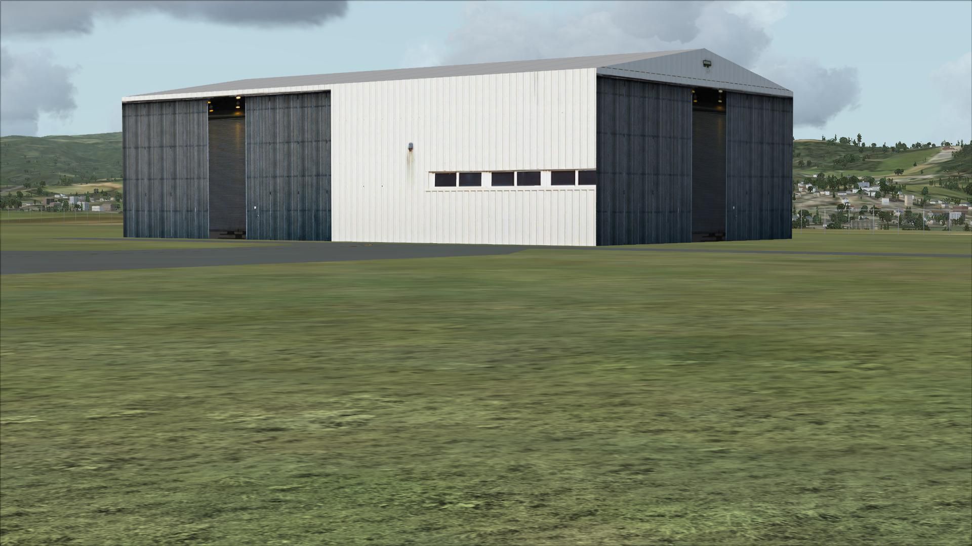
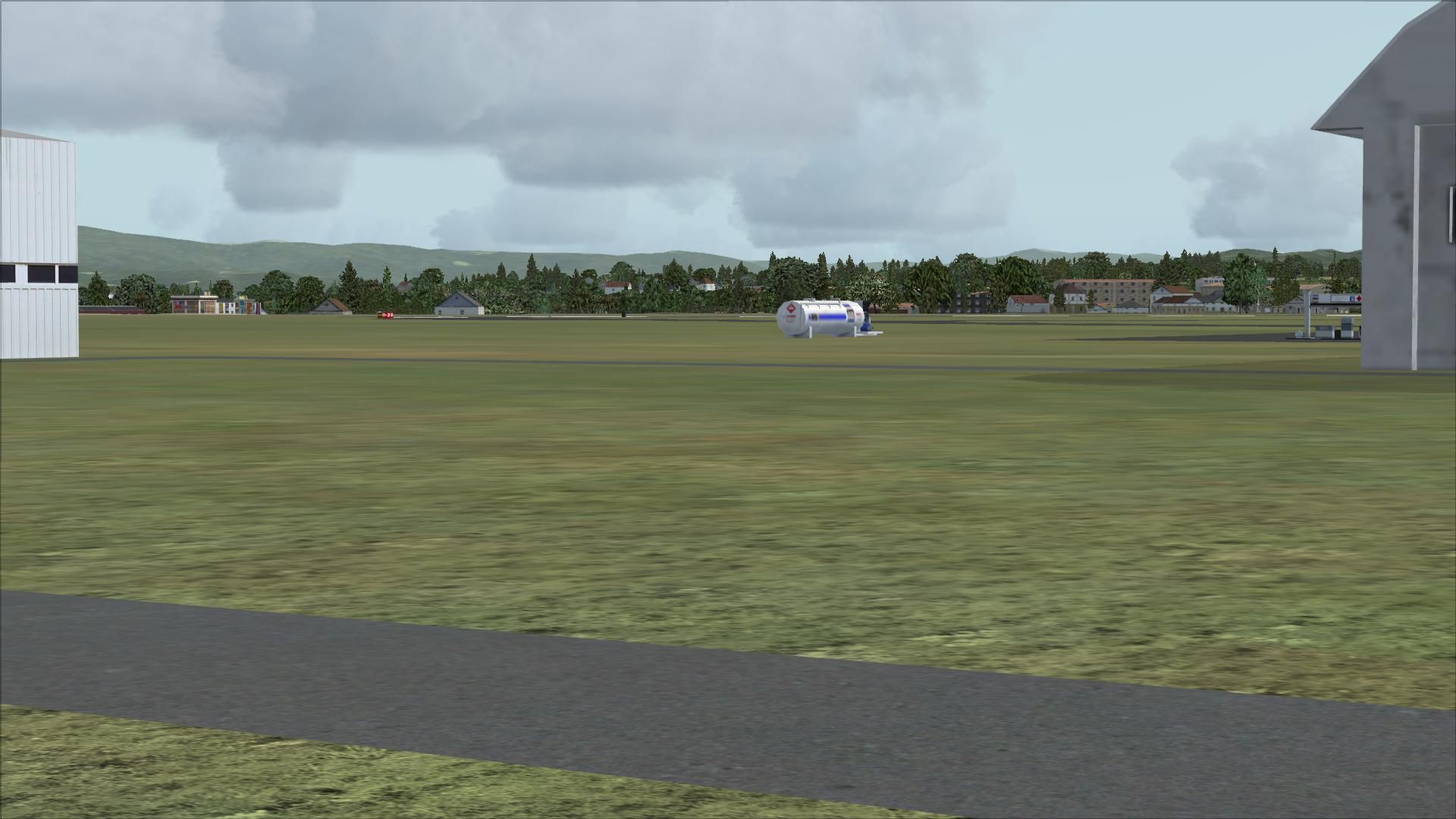
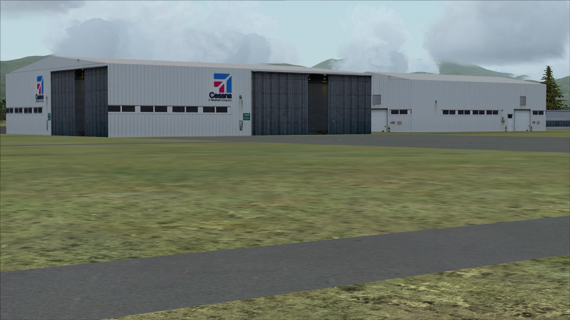
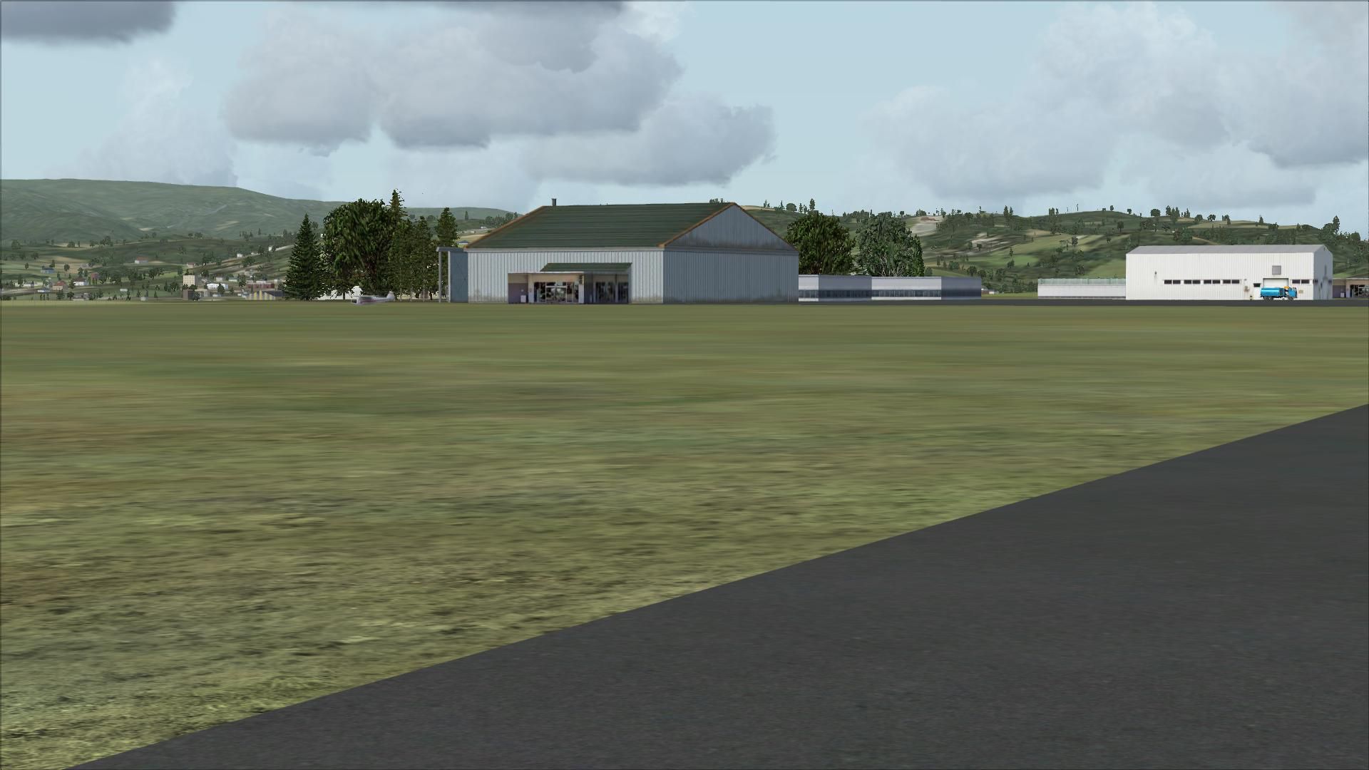
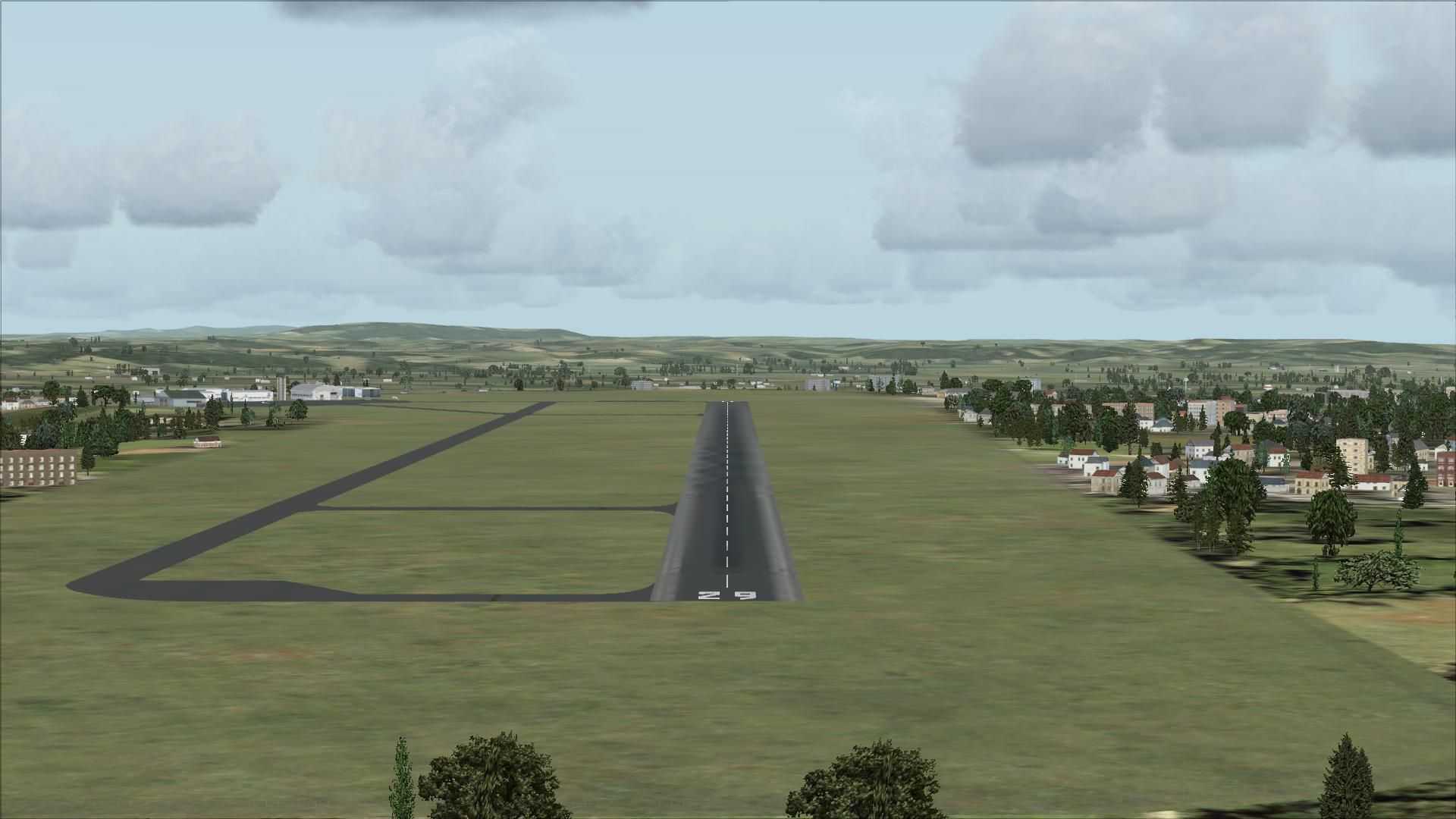
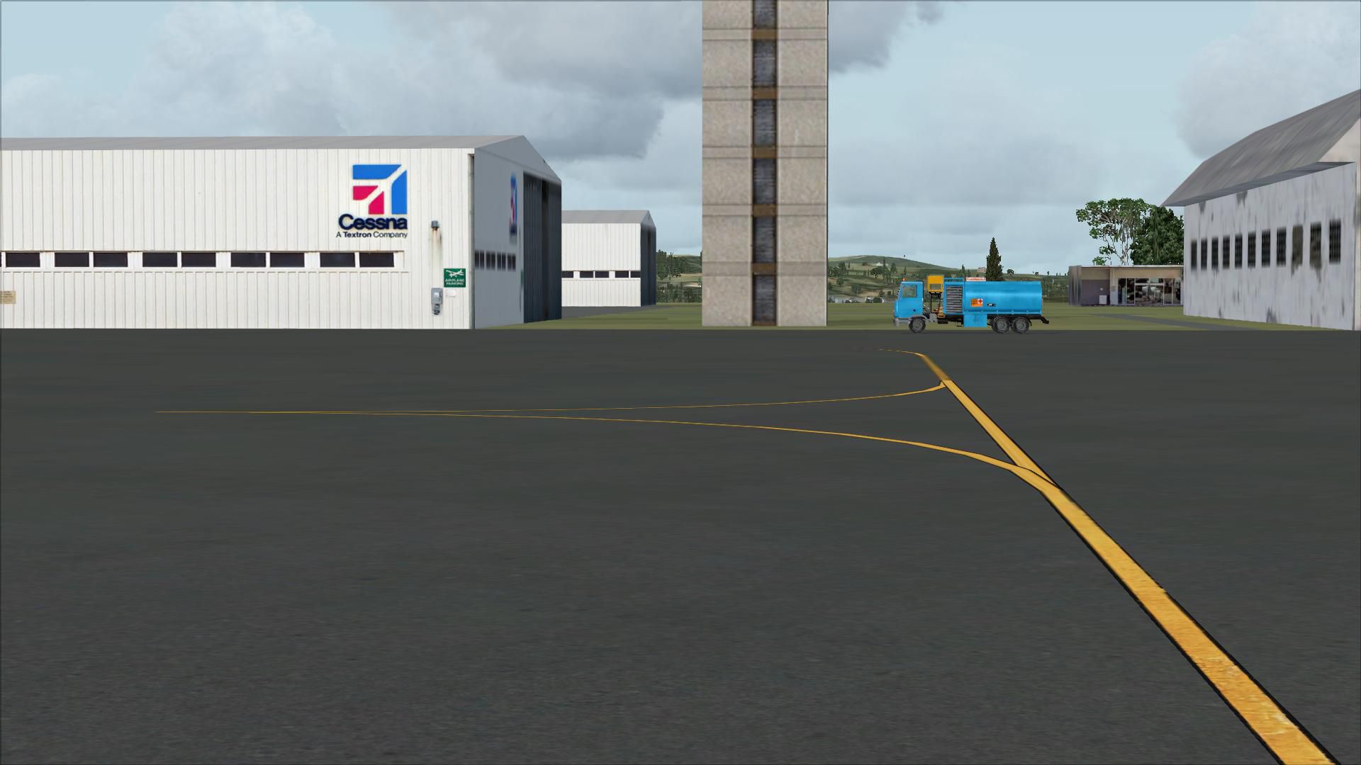
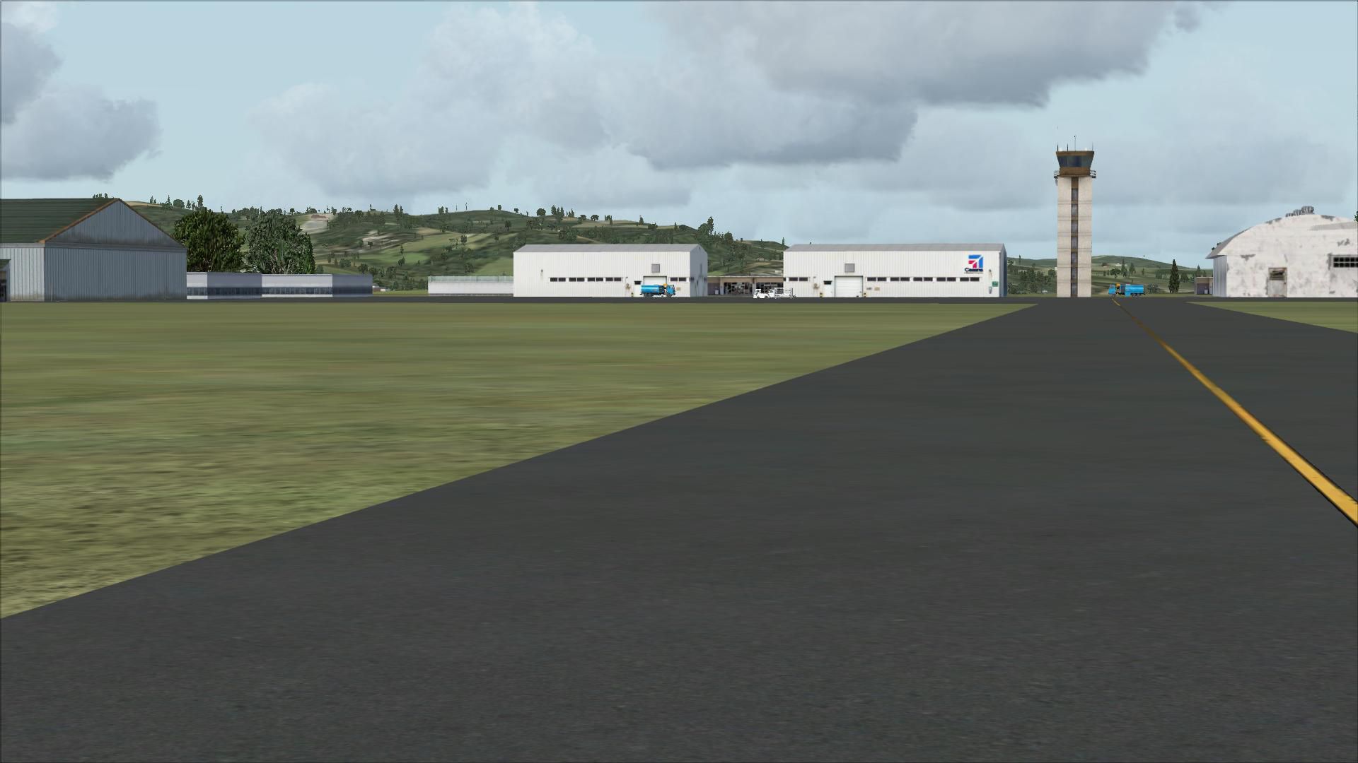
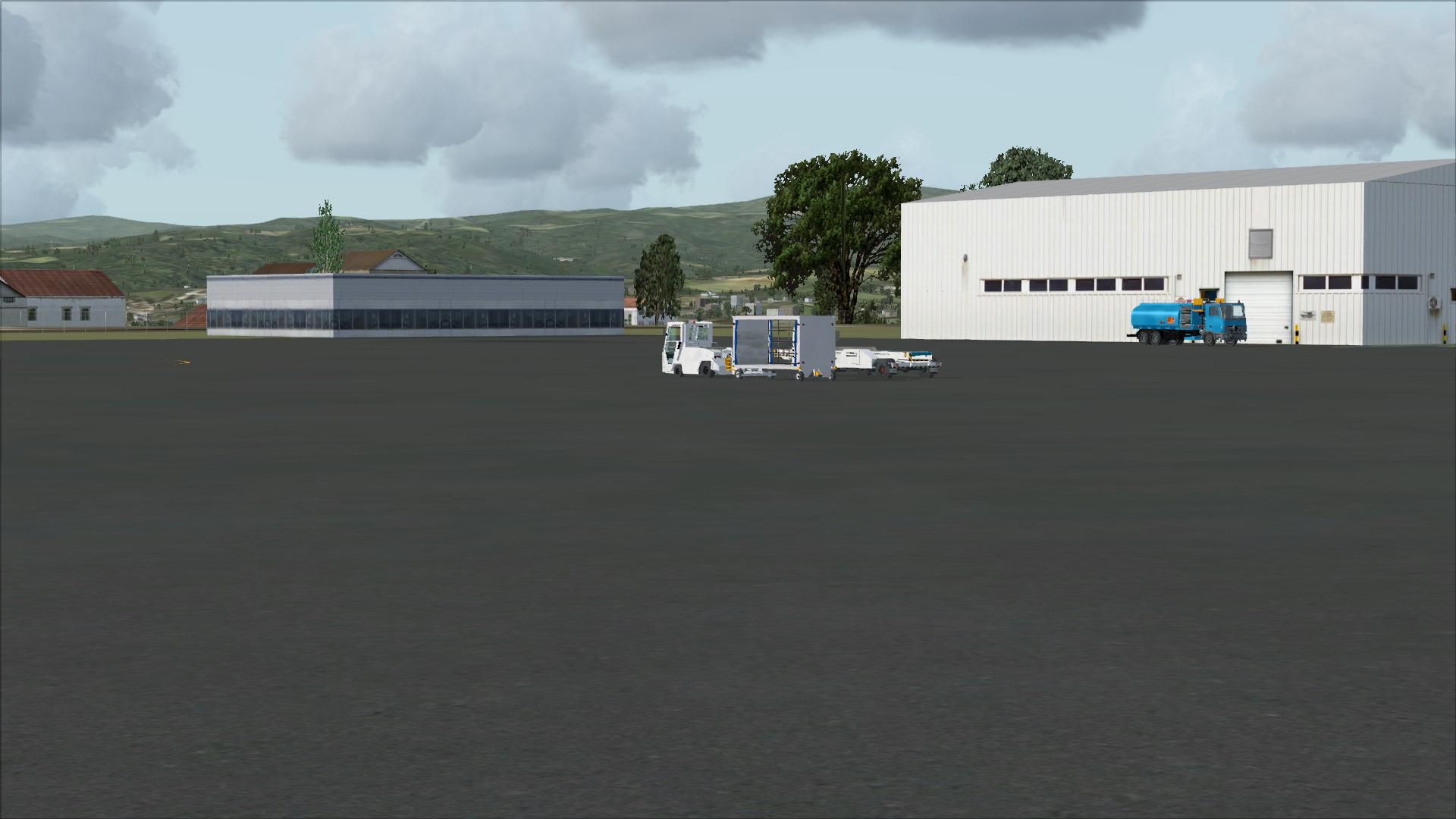
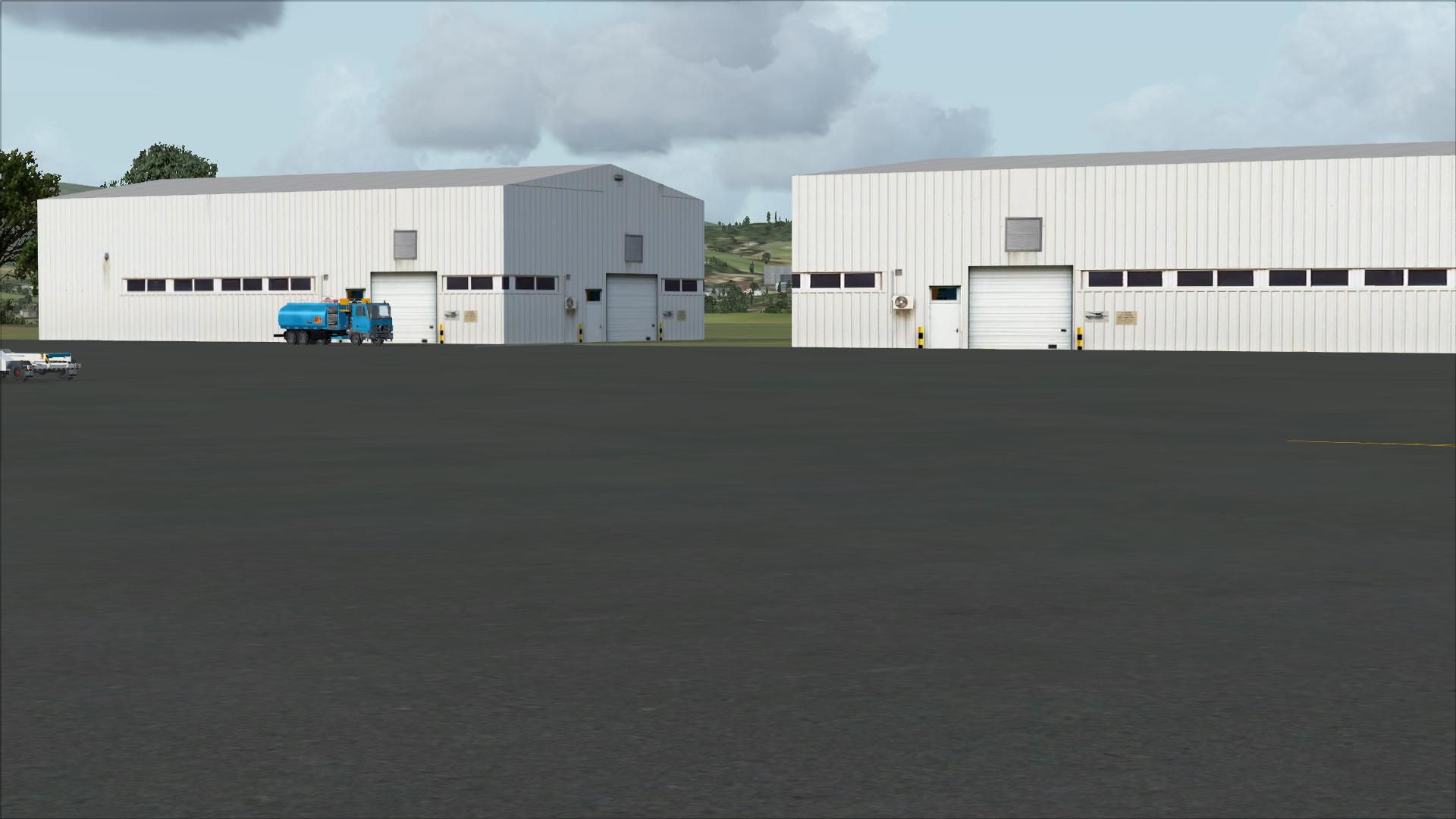
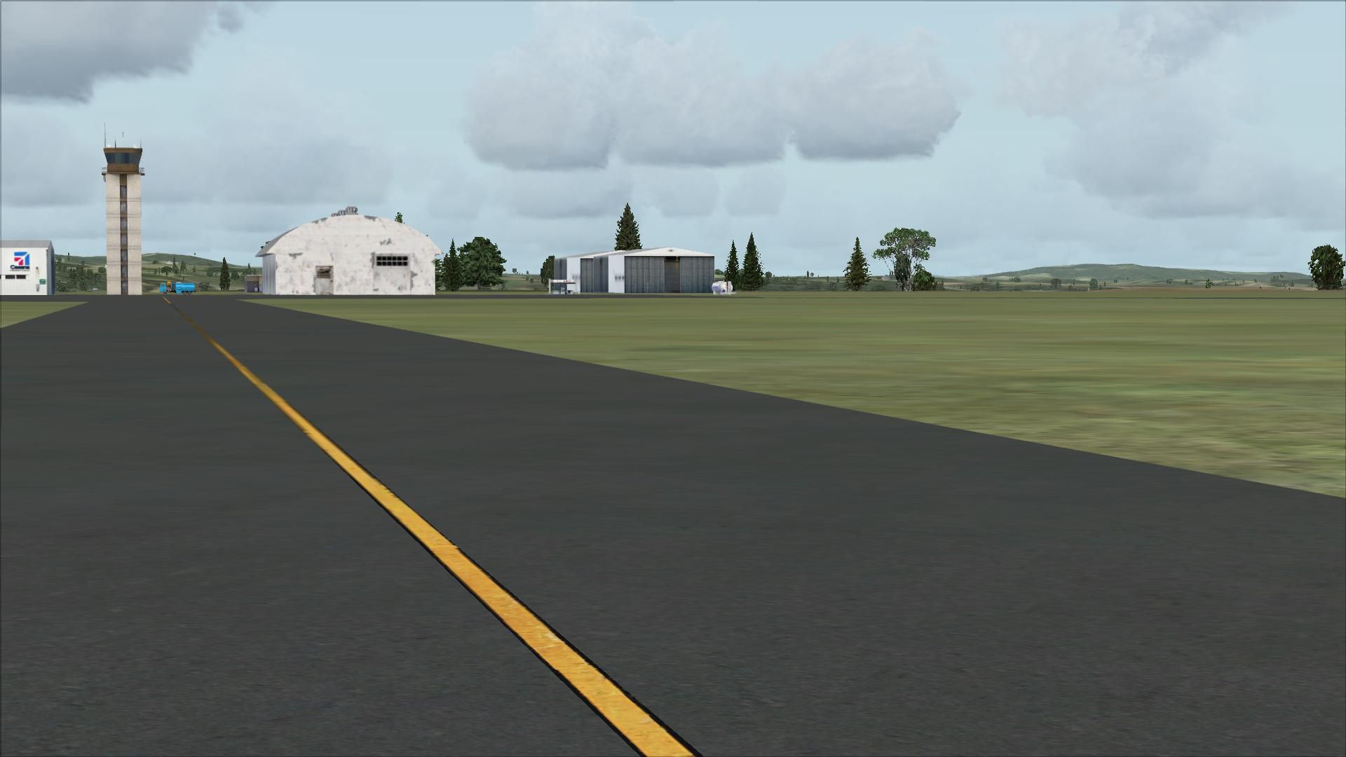
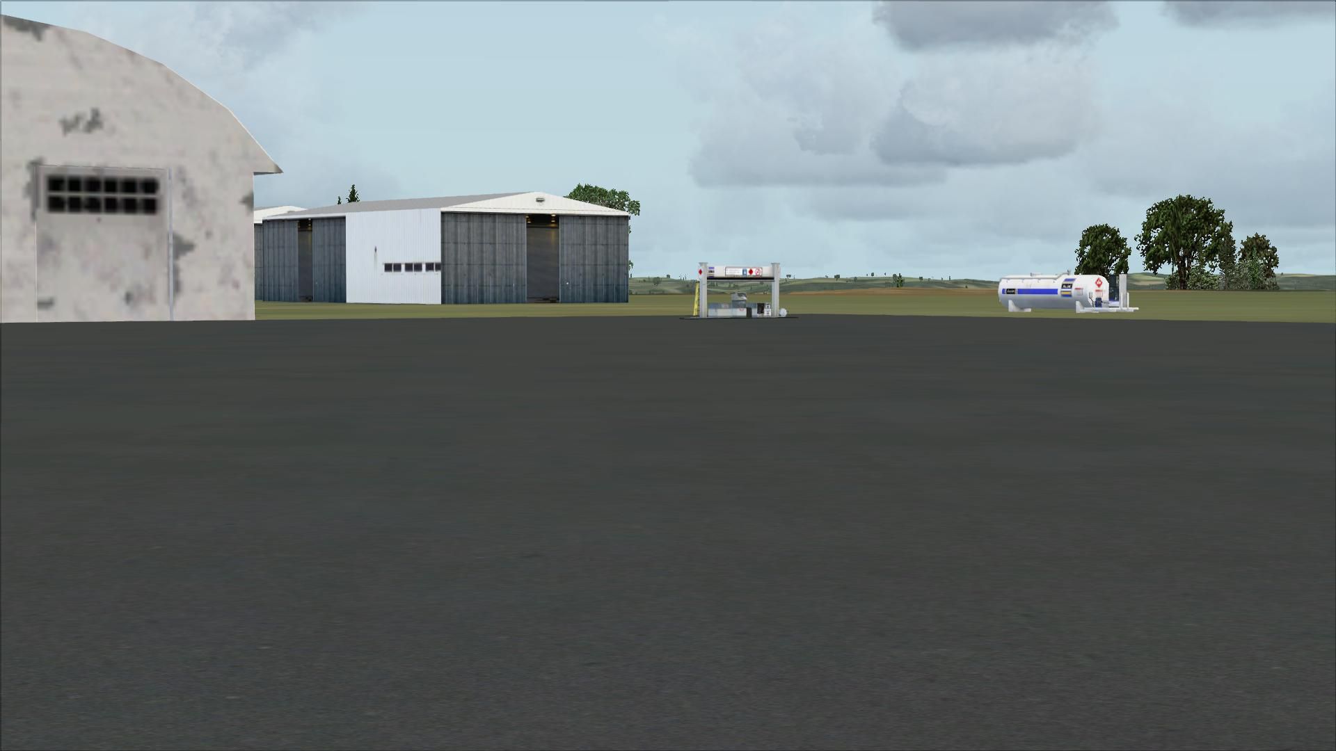
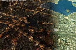
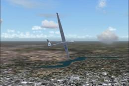
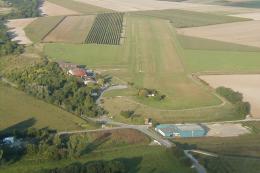
Caransebes Airport (LRCS) scenery refreshes this Romanian field with corrected apron proportions, improved layout accuracy guided by satellite imagery, added GA parking, and enhanced buildings plus vehicle routes for a more believable ramp environment in FSX. It replaces the default airport and suits VFR hops or historical TAROM-era operations from a former military base.

 Romania
 - File: noname85.zip
- Size:4.35 MB
- Scan:
Clean (30d)

- Access:Freeware
- Content:Everyone
Caransebes, Romania (LRCS). Based on the stock airport, modified using satellite image as a visual guide. Proportions and apron corrected, added GA parking spots. Corrected and added buildings and some vehicle ways between. This is the only commercial Romanian airport which is not located near a major city. While built as a military airbase, TAROM later offered scheduled flights to Bucharest. Today no scheduled flights use this airport. By Ana Gana.
Caransebes Scenery.
Copy the .bgl files into your FSX Addon Scenery/scenery folder.
(usually "C:\Program Files\Microsoft Games\Microsoft Flight Simulator X\Addon Scenery\scenery").
The airport will replace the respective stock airport after the next FSX start.
These files are in the Public Domain. You may do whatever you wish with them.
Ana Gana
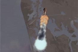
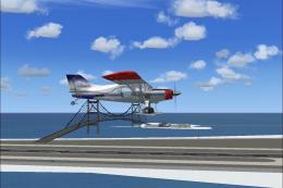
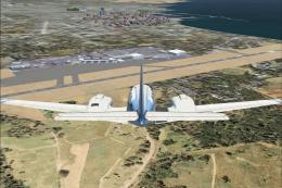
Images & Screenshots


Finding the Scenery
- FSX/Prepar3D Coordinates:
-
45.42100000,22.25300000
Use the downloaded flight plan file by launching FSX/P3D, selecting "Load Flight Plan" in the flight planner, and choosing the .pln file. Your aircraft will be positioned directly at the add-on’s location. - Decimal Degrees (DD):
-
Latitude: 45.421000°
Longitude: 22.253000° - Degrees, Minutes, Seconds (DMS):
-
Latitude: 45° 25' 15.600" N
Longitude: 22° 15' 10.800" E
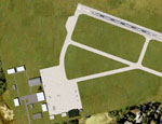
Map Location
The archive noname85.zip has 29 files and directories contained within it.
File Contents
This list displays the first 500 files in the package. If the package has more, you will need to download it to view them.
| Filename/Directory | File Date | File Size |
|---|---|---|
| LRCS_ADE_SB__Caransebes_CVX.bgl | 06.01.08 | 429 B |
| caranseb.gif | 06.03.08 | 17.00 kB |
| readme.txt | 06.03.08 | 592 B |
| FILE_ID.DIZ | 06.03.08 | 478 B |
| LRCS_ADE_SB__Caransebes.BGL | 06.01.08 | 6.27 kB |
| flyawaysimulation.txt | 10.29.13 | 959 B |
| Go to Fly Away Simulation.url | 01.22.16 | 52 B |
| Screenshots | 08.12.19 | 0 B |
| screen-1.jpg | 08.10.19 | 176.05 kB |
| screen-10.jpg | 08.10.19 | 179.33 kB |
| screen-11.jpg | 08.10.19 | 140.35 kB |
| screen-12.jpg | 08.10.19 | 127.73 kB |
| screen-13.jpg | 08.10.19 | 136.62 kB |
| screen-14.jpg | 08.10.19 | 133.69 kB |
| screen-15.jpg | 08.10.19 | 143.63 kB |
| screen-16.jpg | 08.10.19 | 114.69 kB |
| screen-17.jpg | 08.10.19 | 263.47 kB |
| screen-18.jpg | 08.10.19 | 233.95 kB |
| screen-19.jpg | 08.10.19 | 206.41 kB |
| screen-2.jpg | 08.10.19 | 280.63 kB |
| screen-20.jpg | 08.10.19 | 184.66 kB |
| screen-21.jpg | 08.10.19 | 189.86 kB |
| screen-3.jpg | 08.10.19 | 235.35 kB |
| screen-4.jpg | 08.10.19 | 480.76 kB |
| screen-5.jpg | 08.10.19 | 264.80 kB |
| screen-6.jpg | 08.10.19 | 250.82 kB |
| screen-7.jpg | 08.10.19 | 273.82 kB |
| screen-8.jpg | 08.10.19 | 264.78 kB |
| screen-9.jpg | 08.10.19 | 274.04 kB |
Installation Instructions
Most of the freeware add-on aircraft and scenery packages in our file library come with easy installation instructions which you can read above in the file description. For further installation help, please see our Flight School for our full range of tutorials or view the README file contained within the download. If in doubt, you may also ask a question or view existing answers in our dedicated Q&A forum.


0 comments
Leave a Response